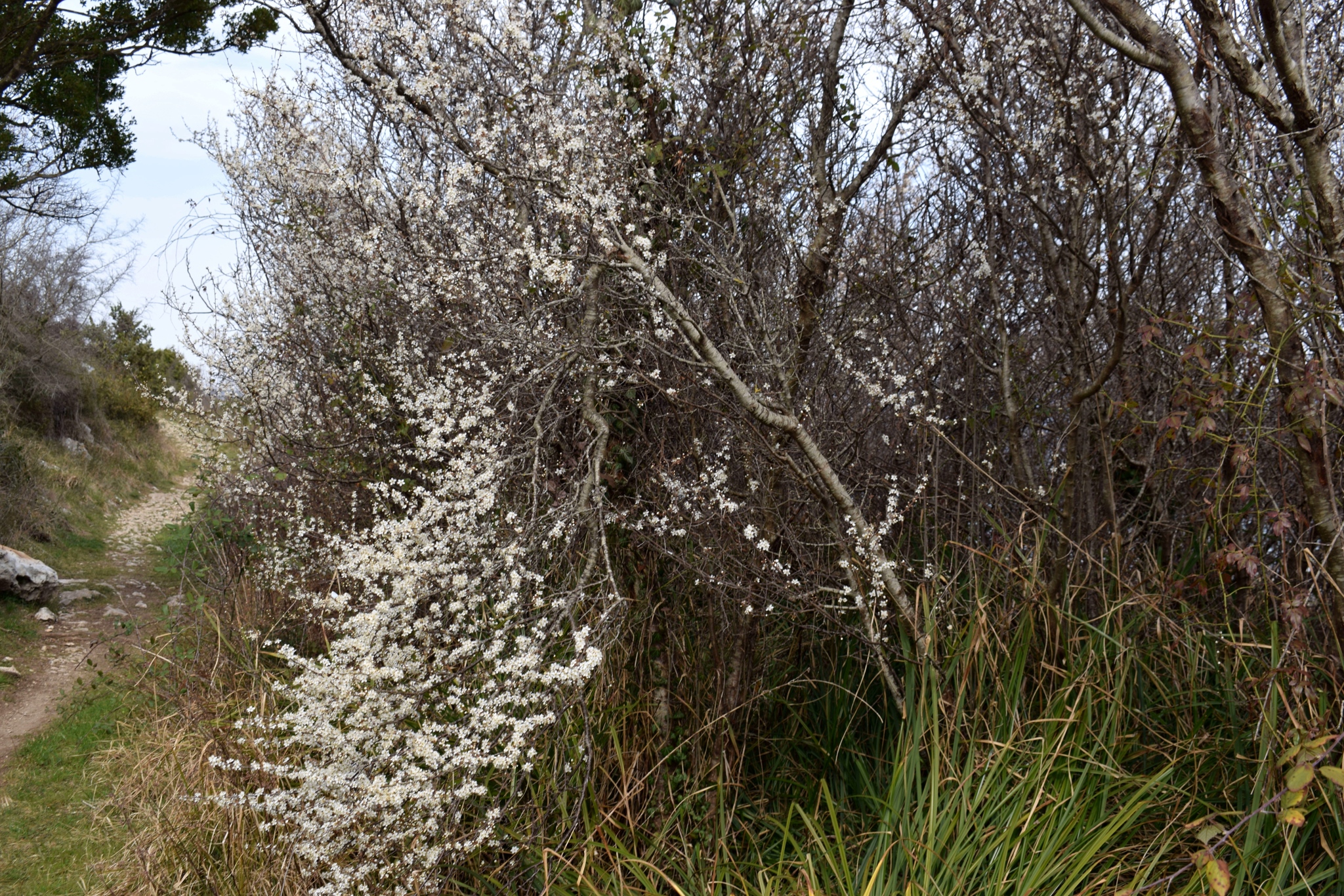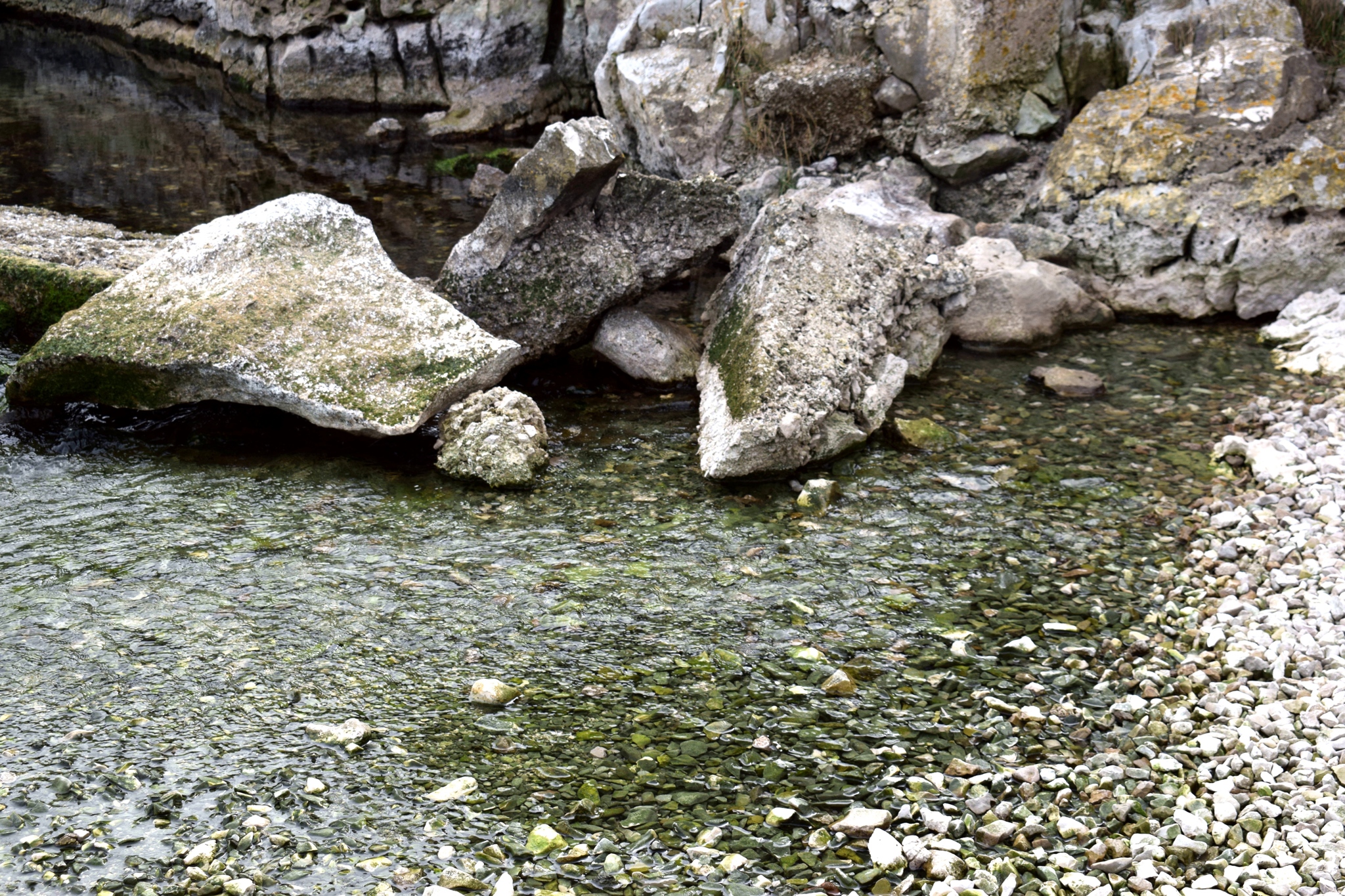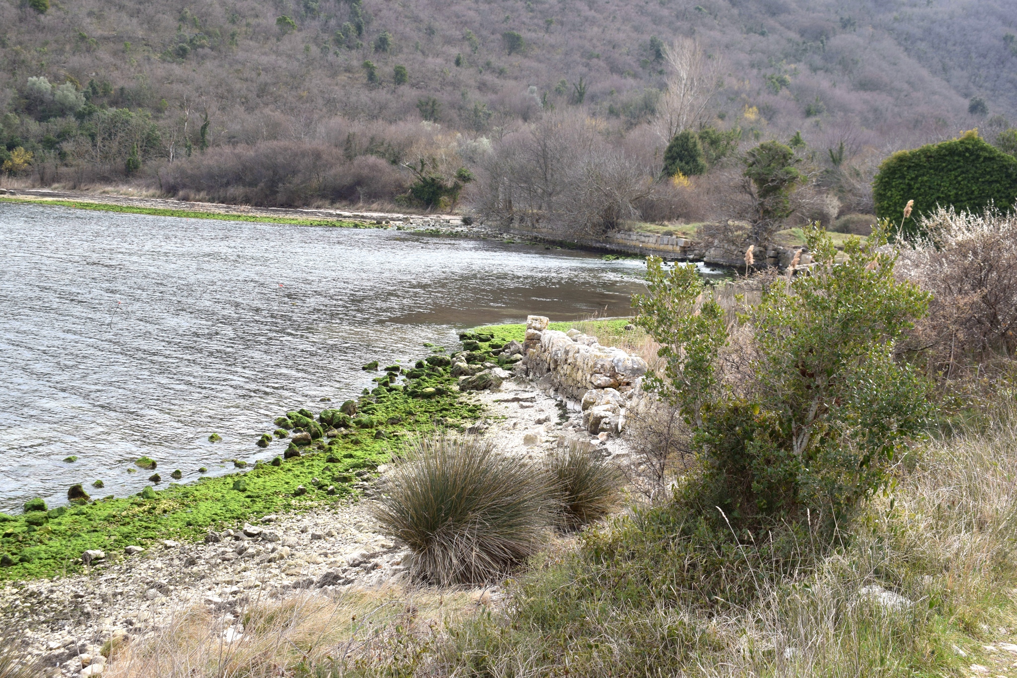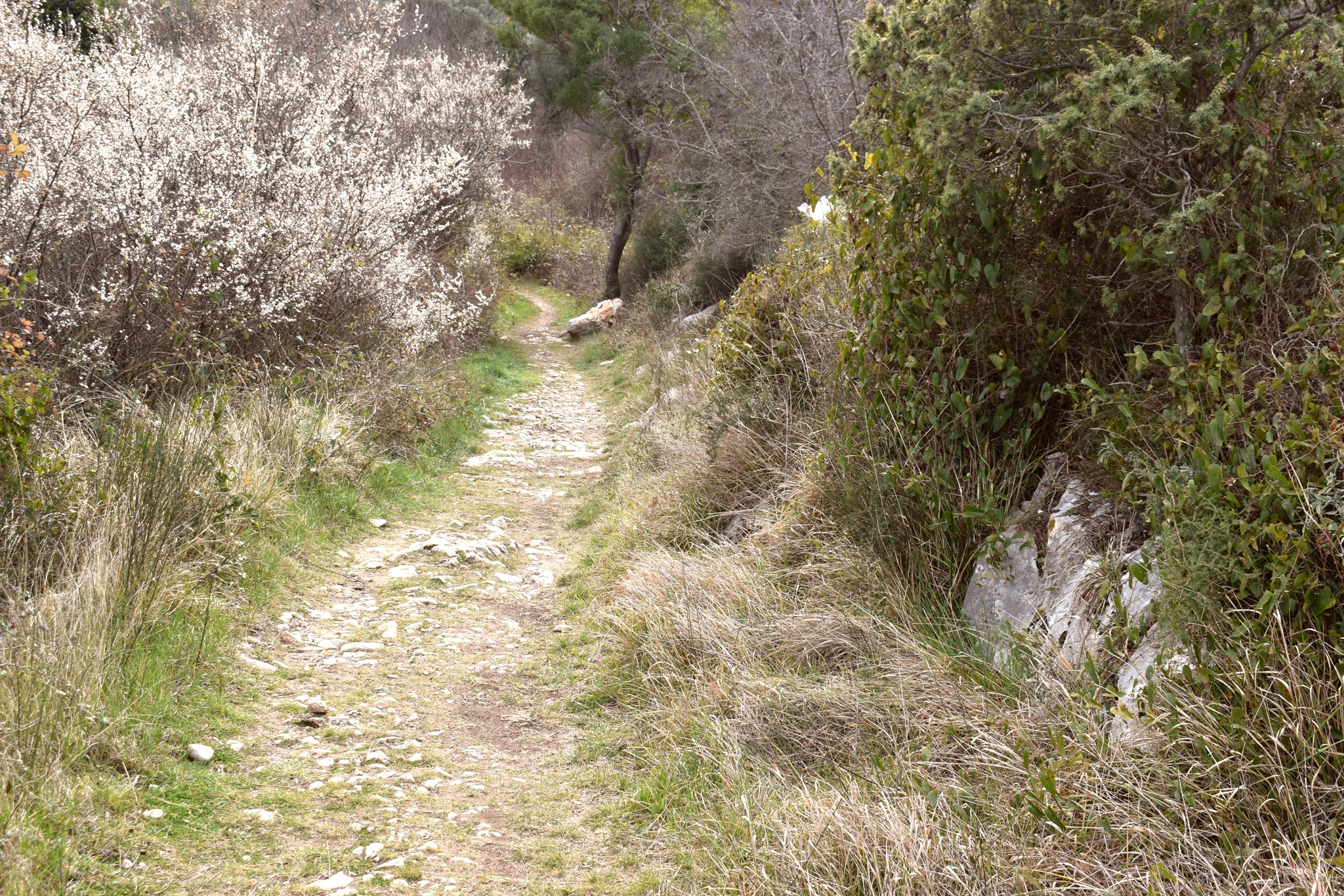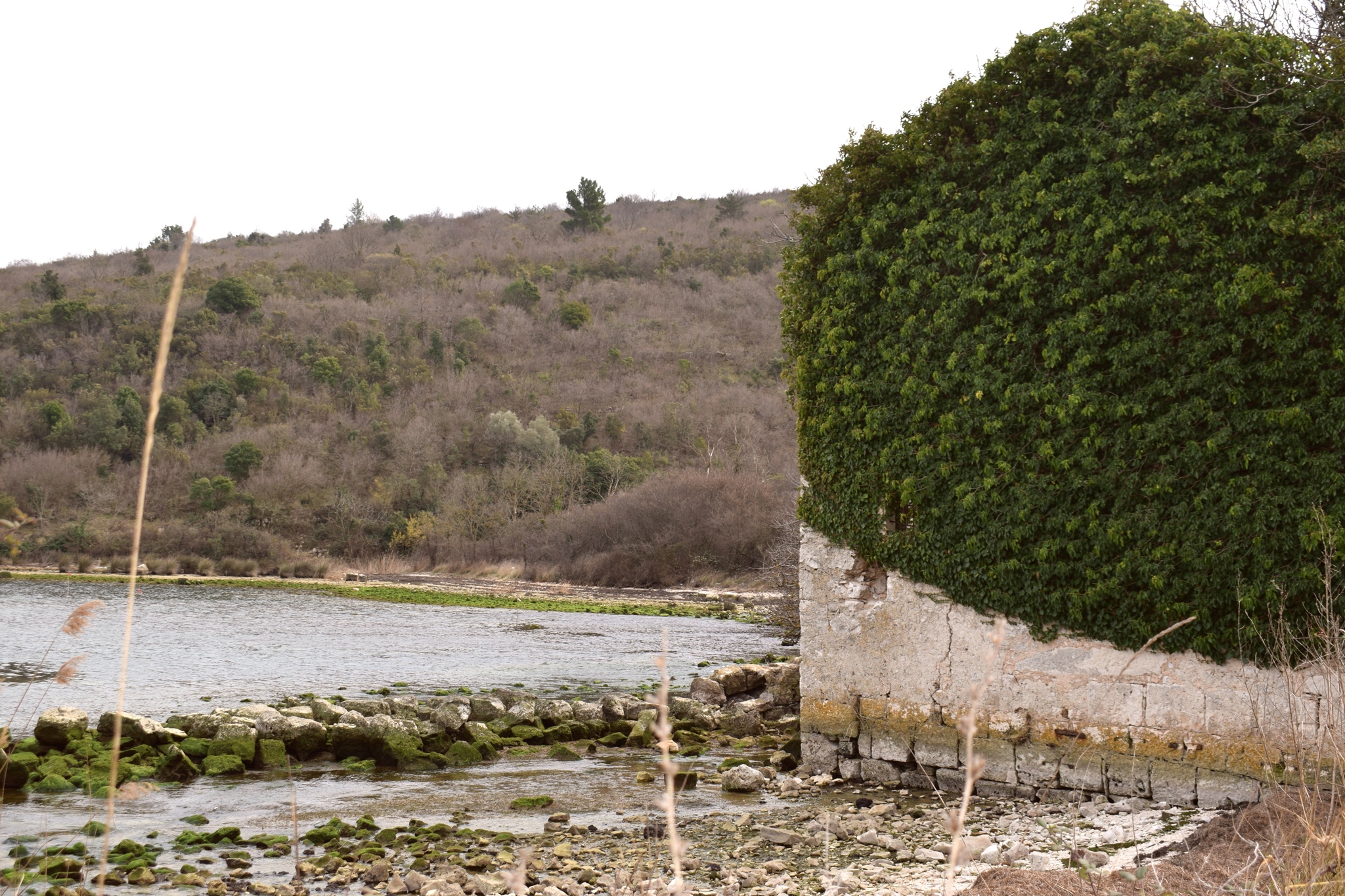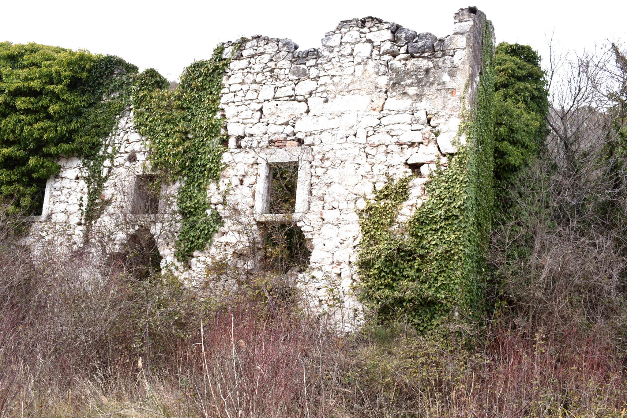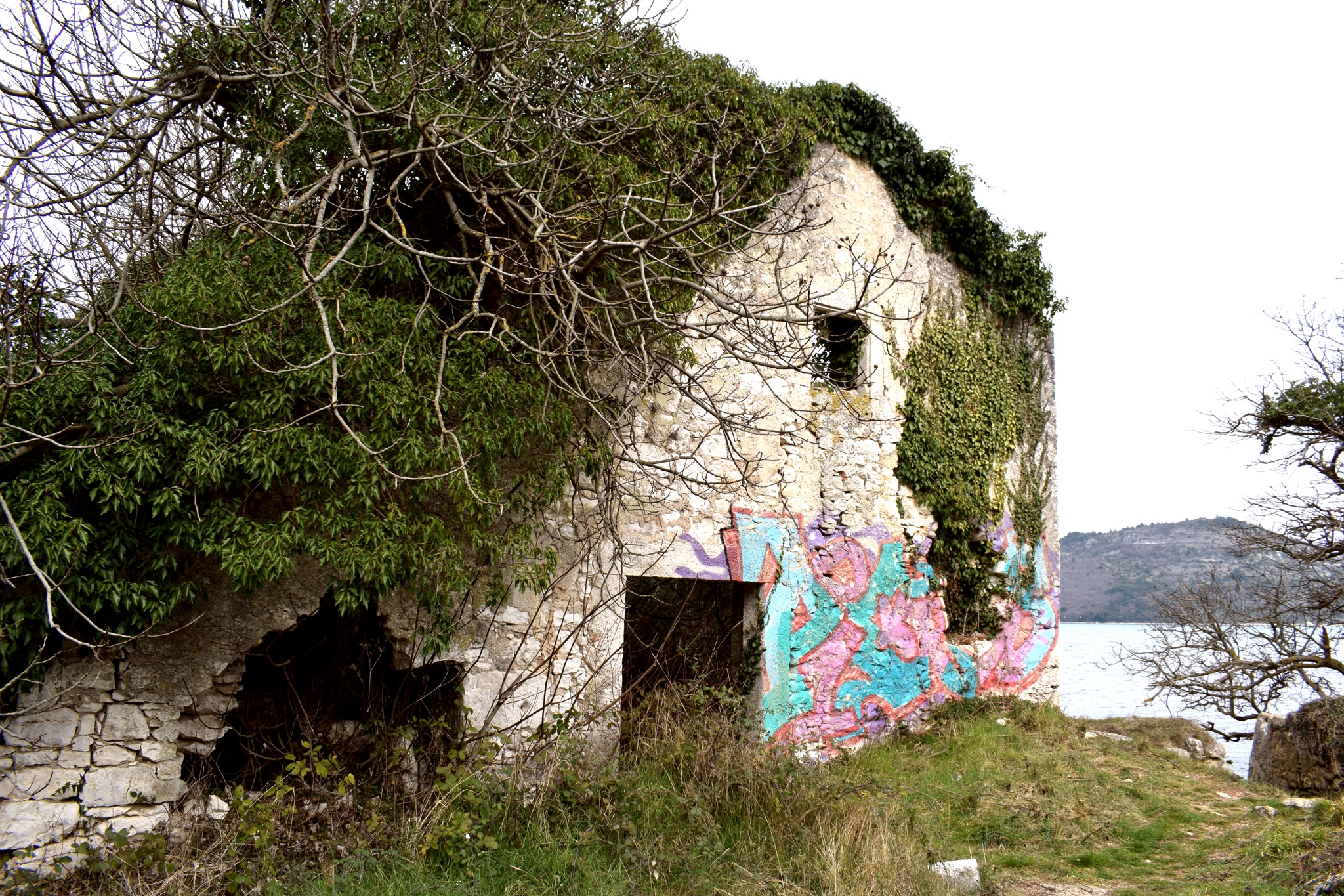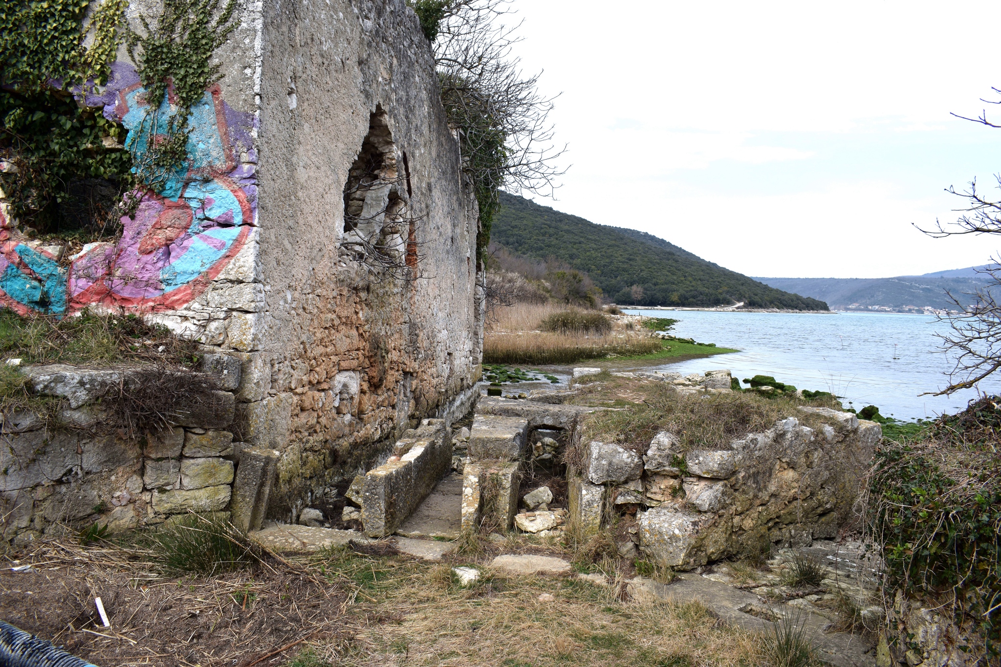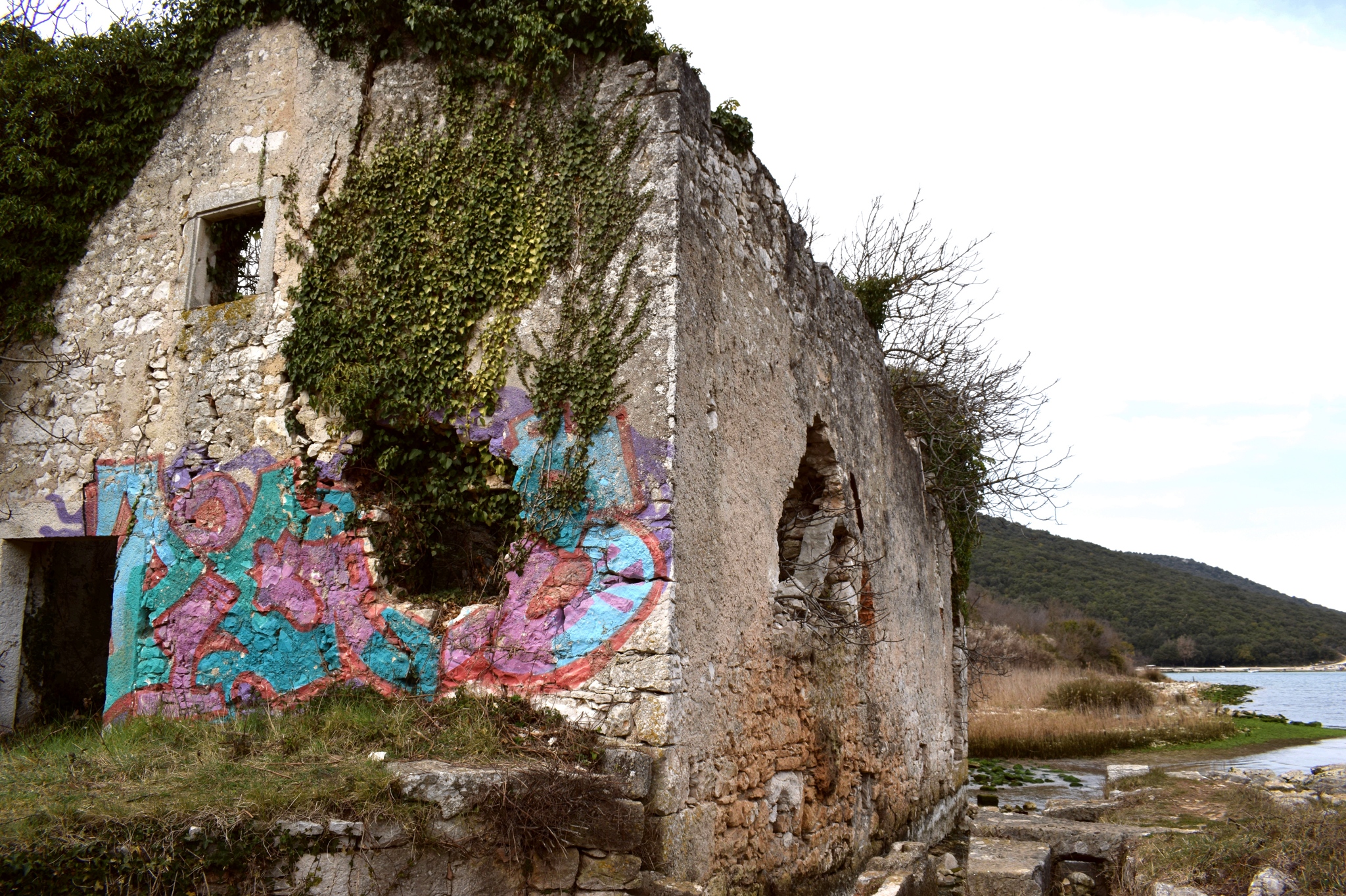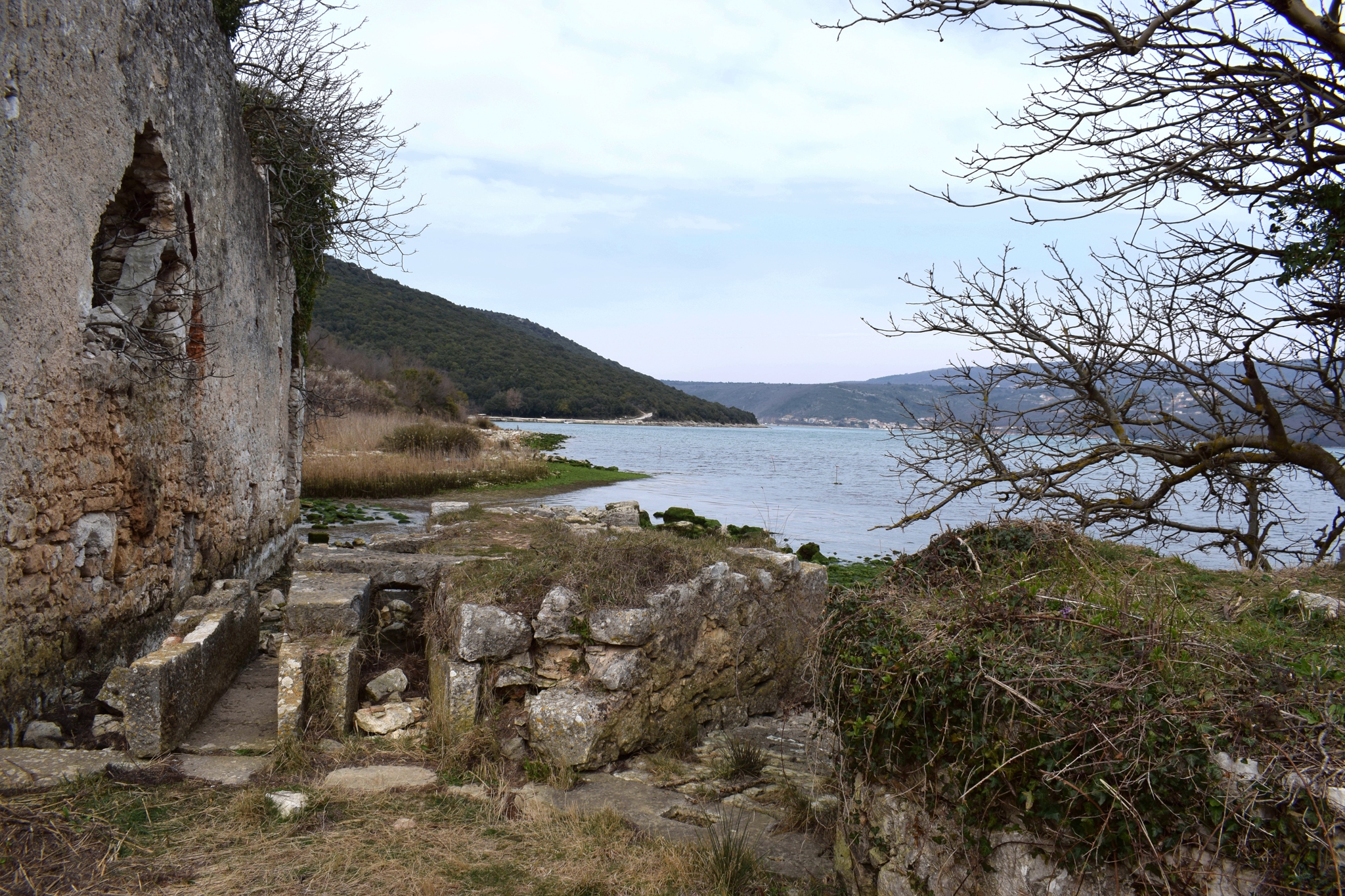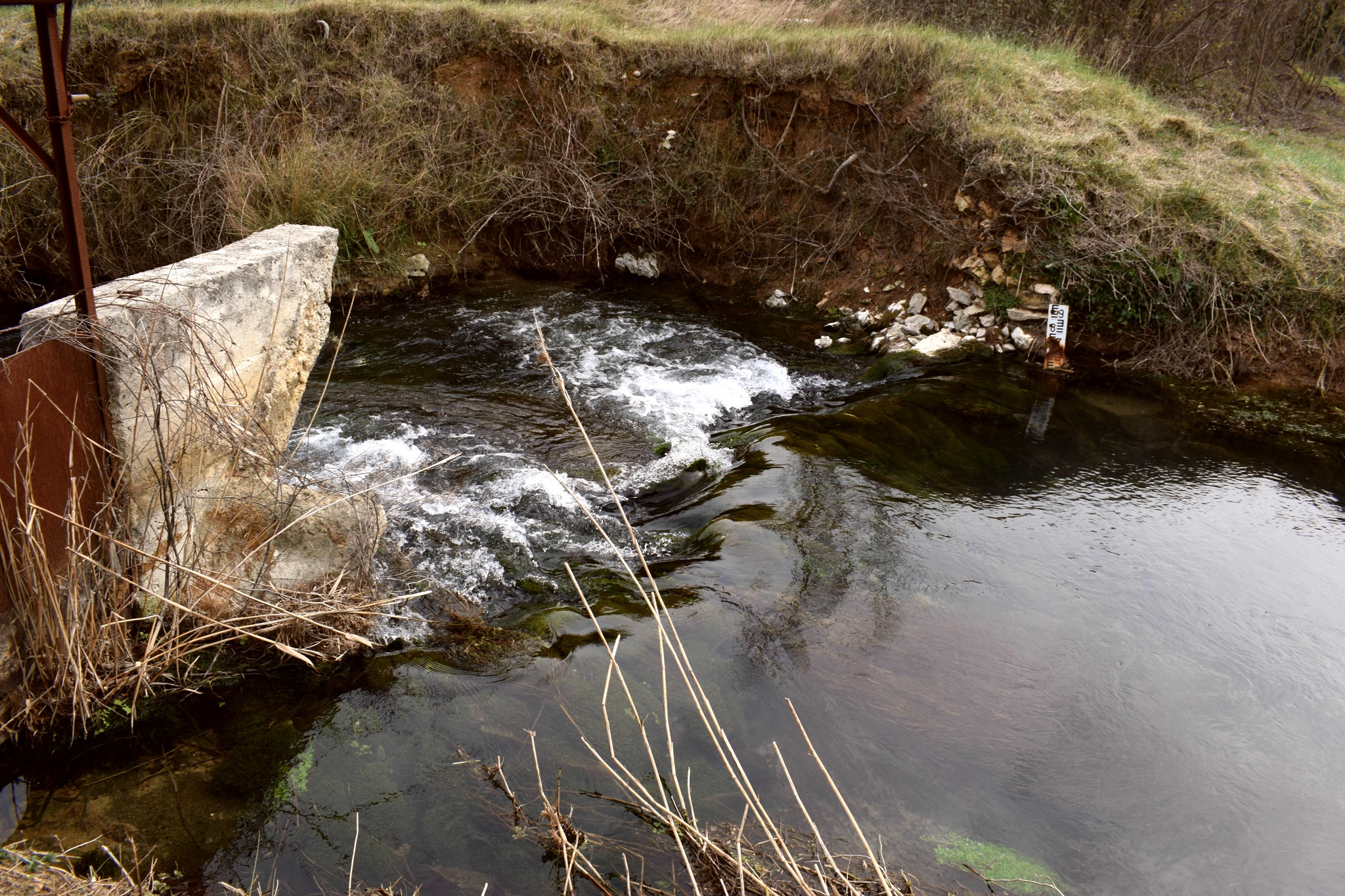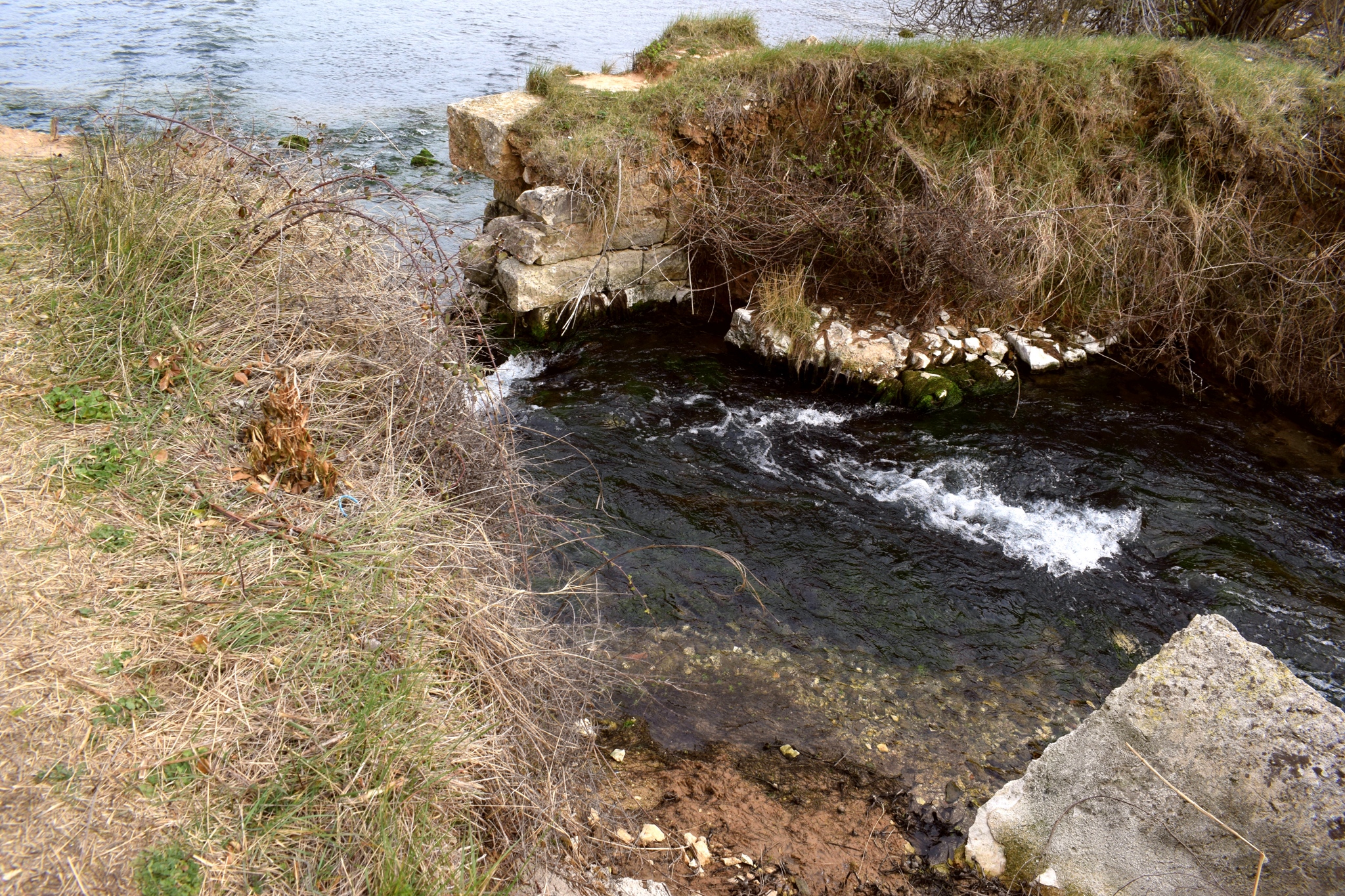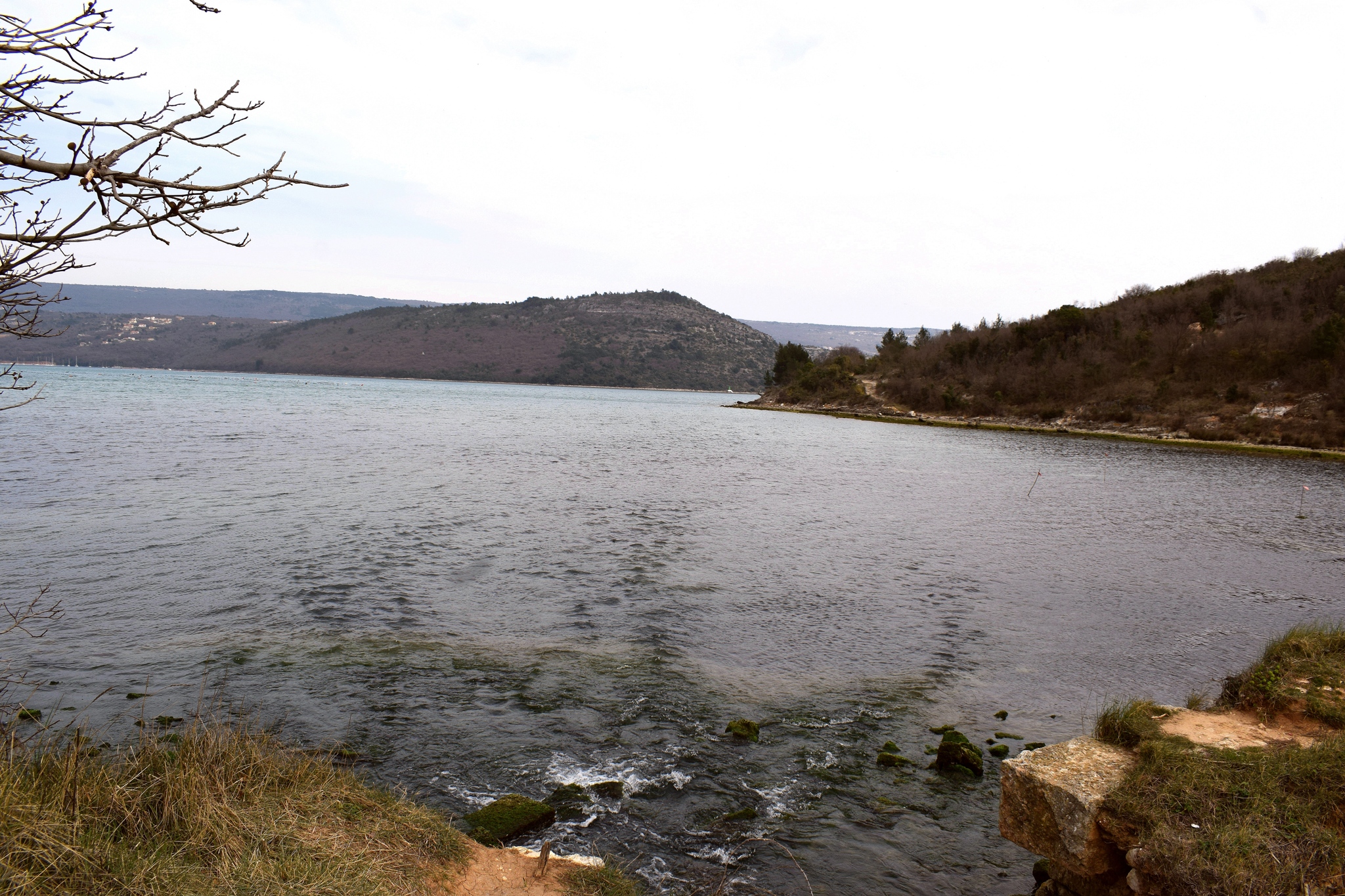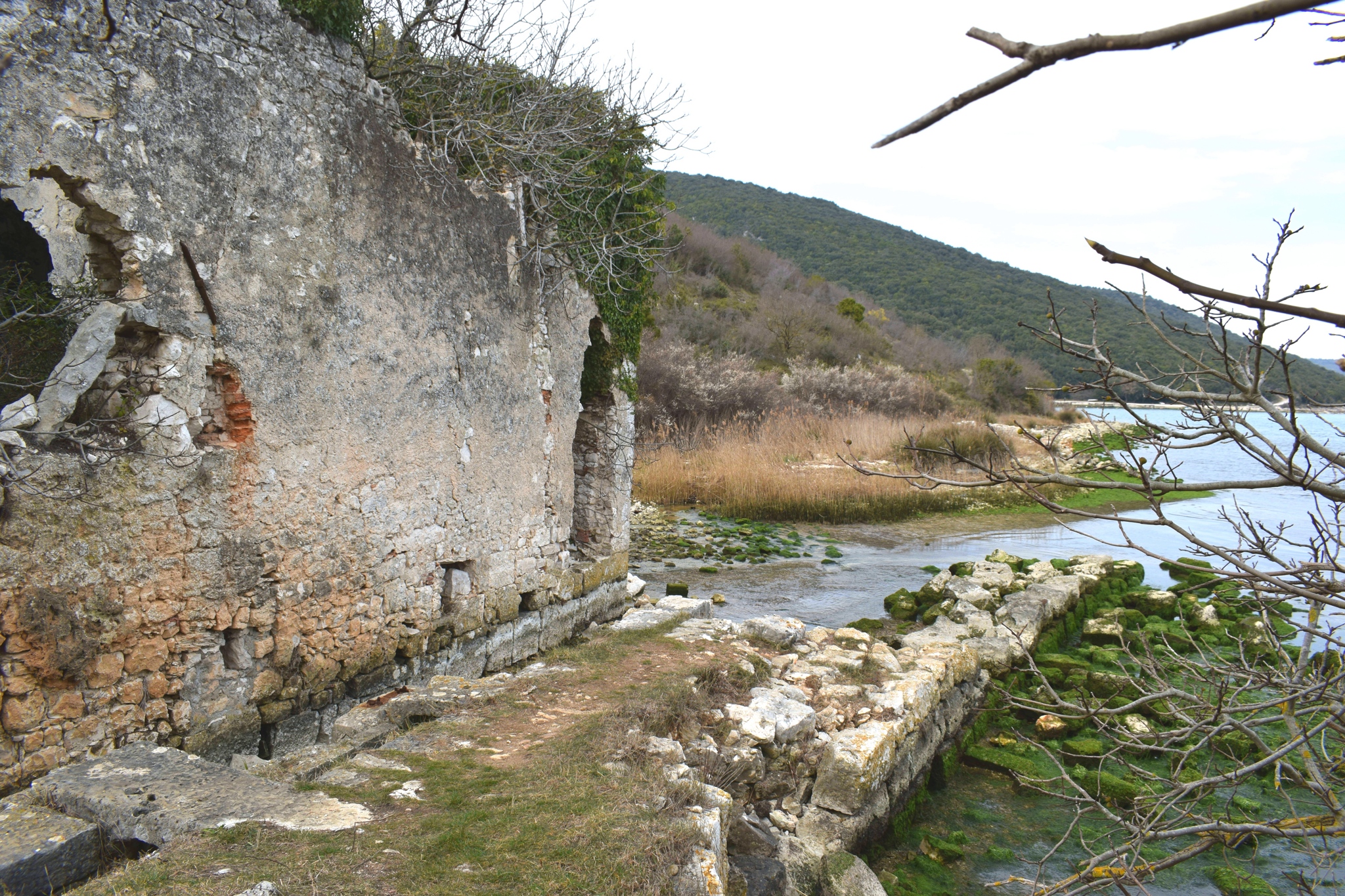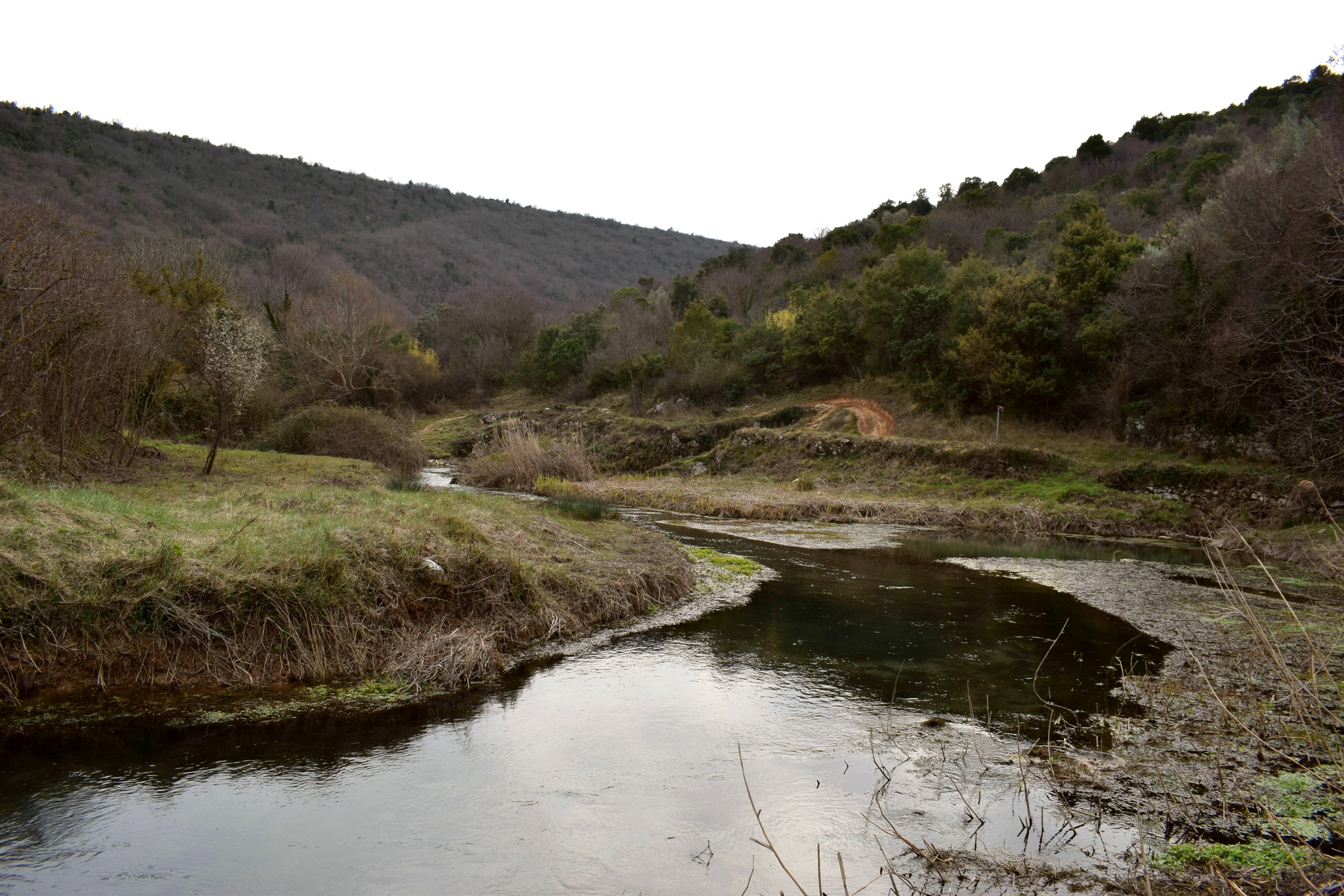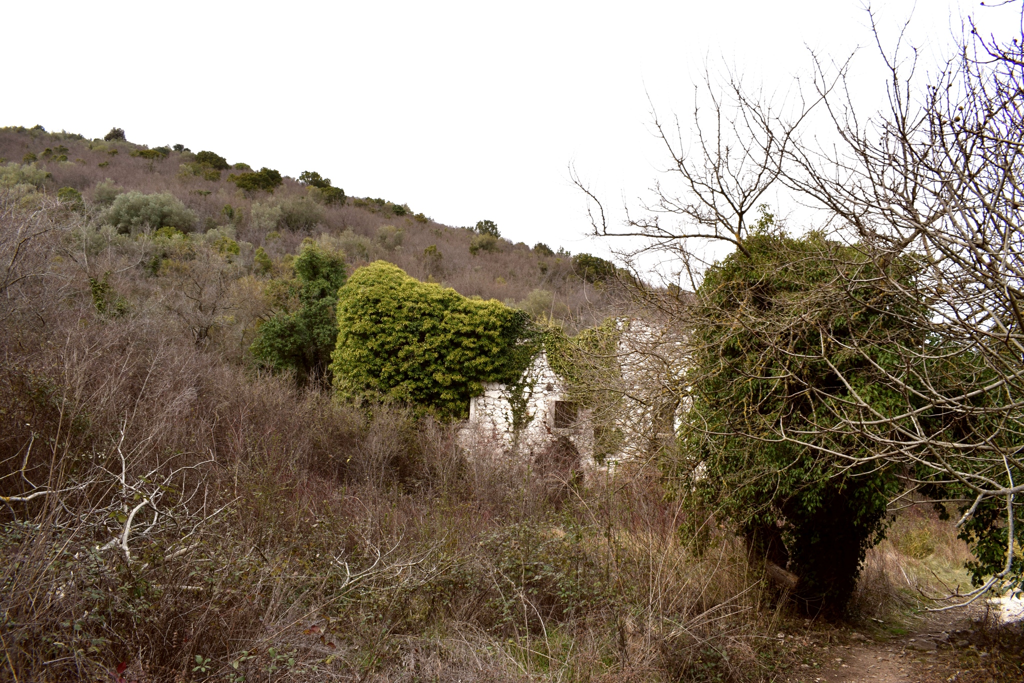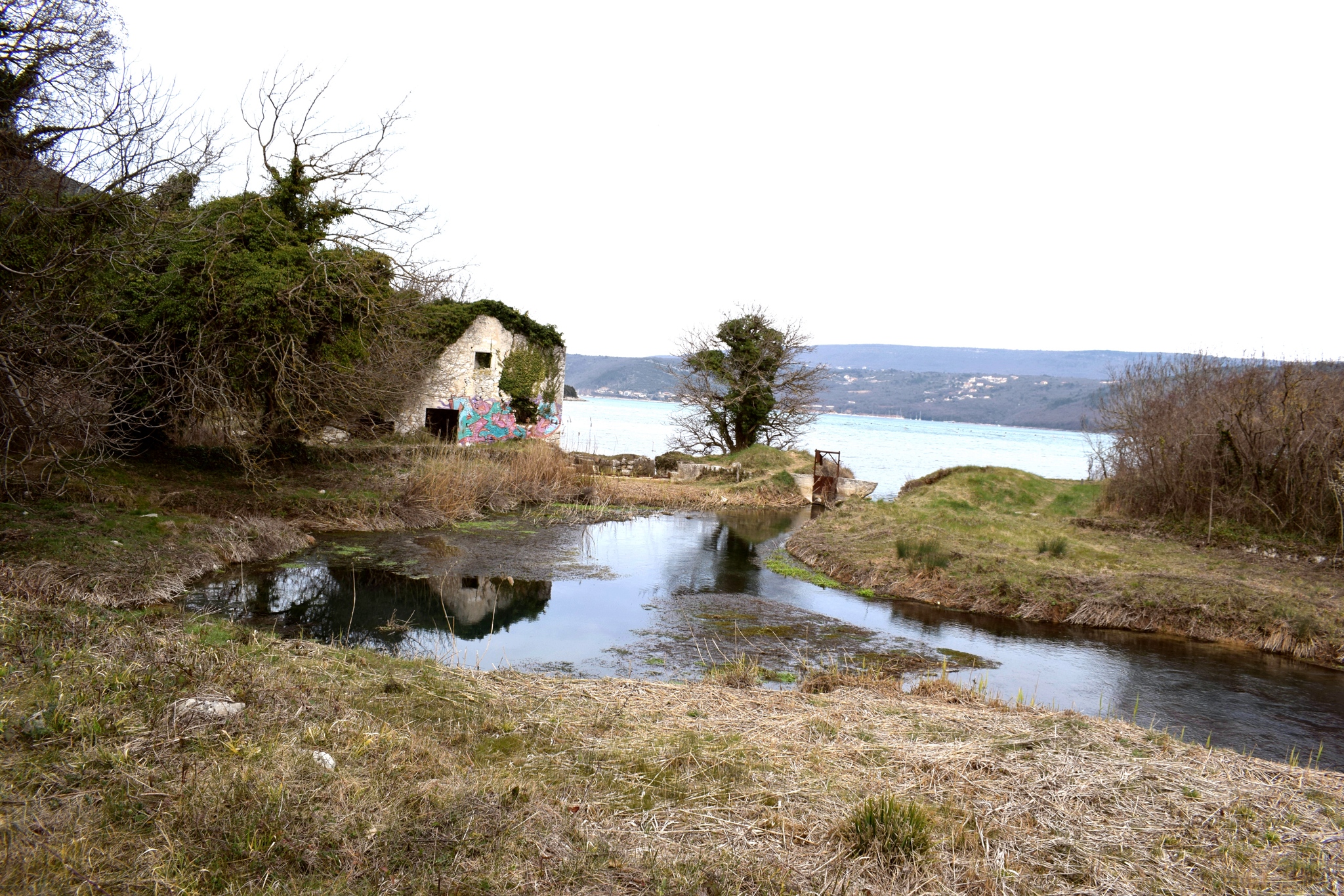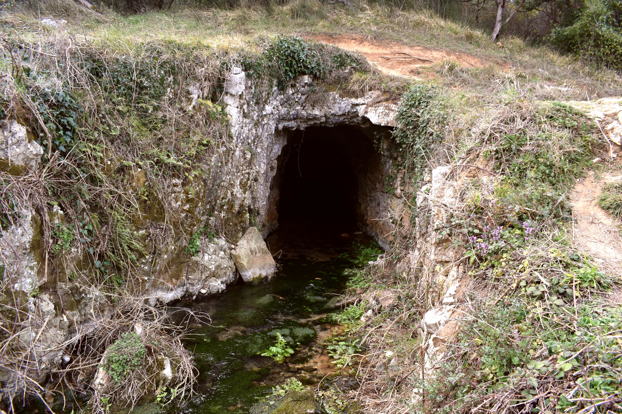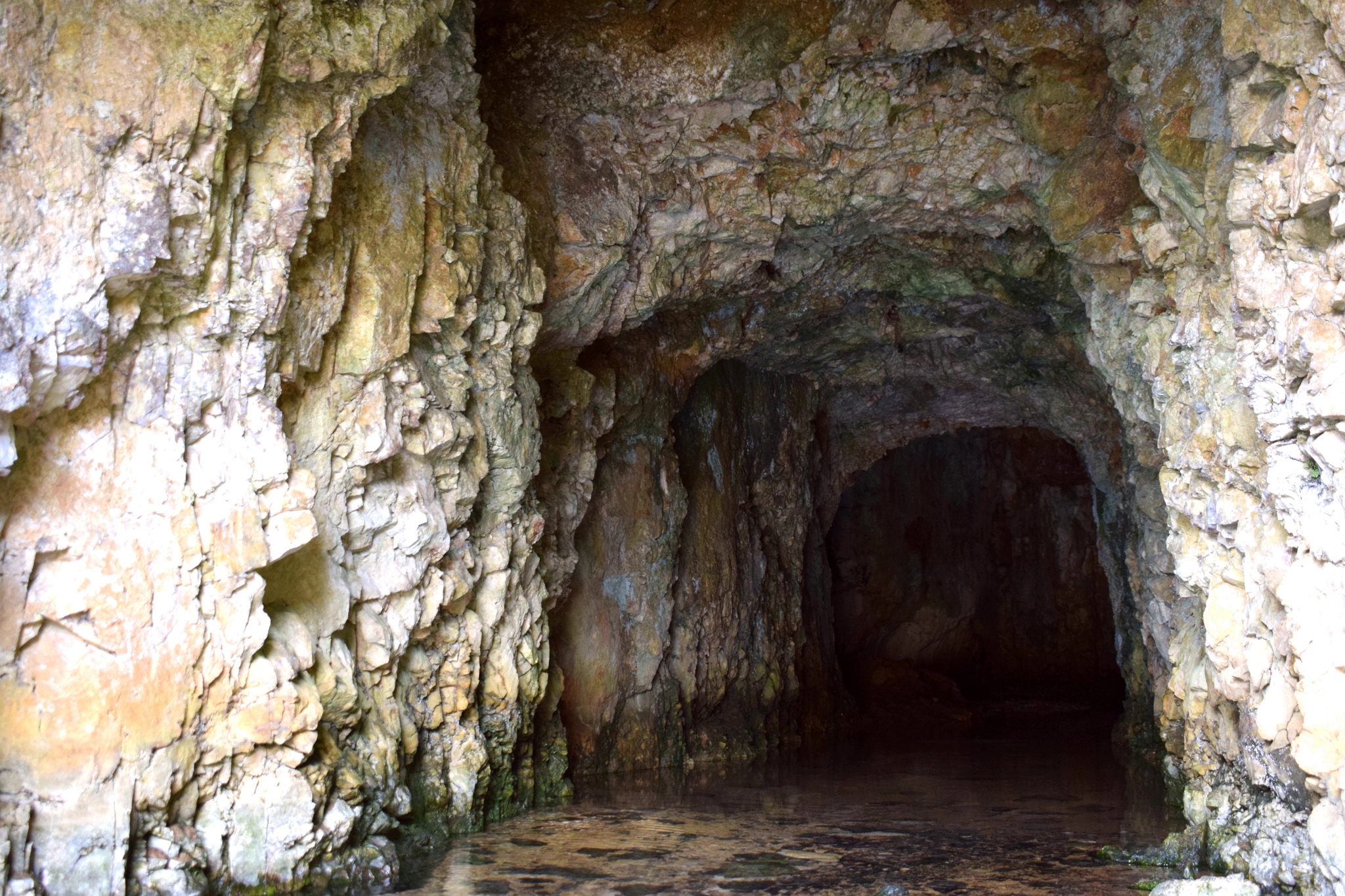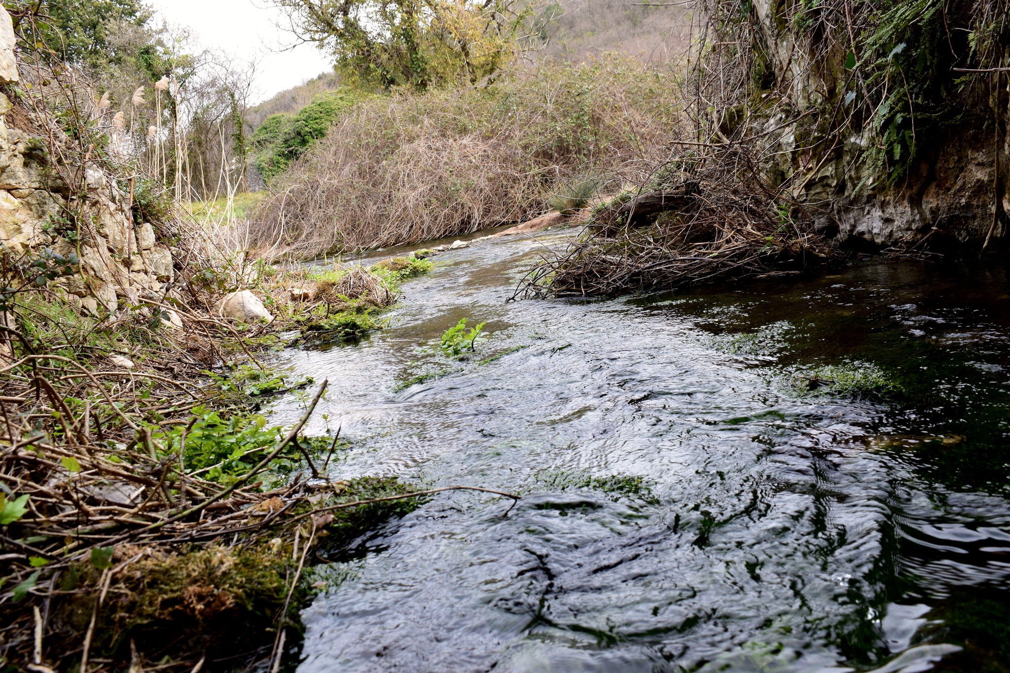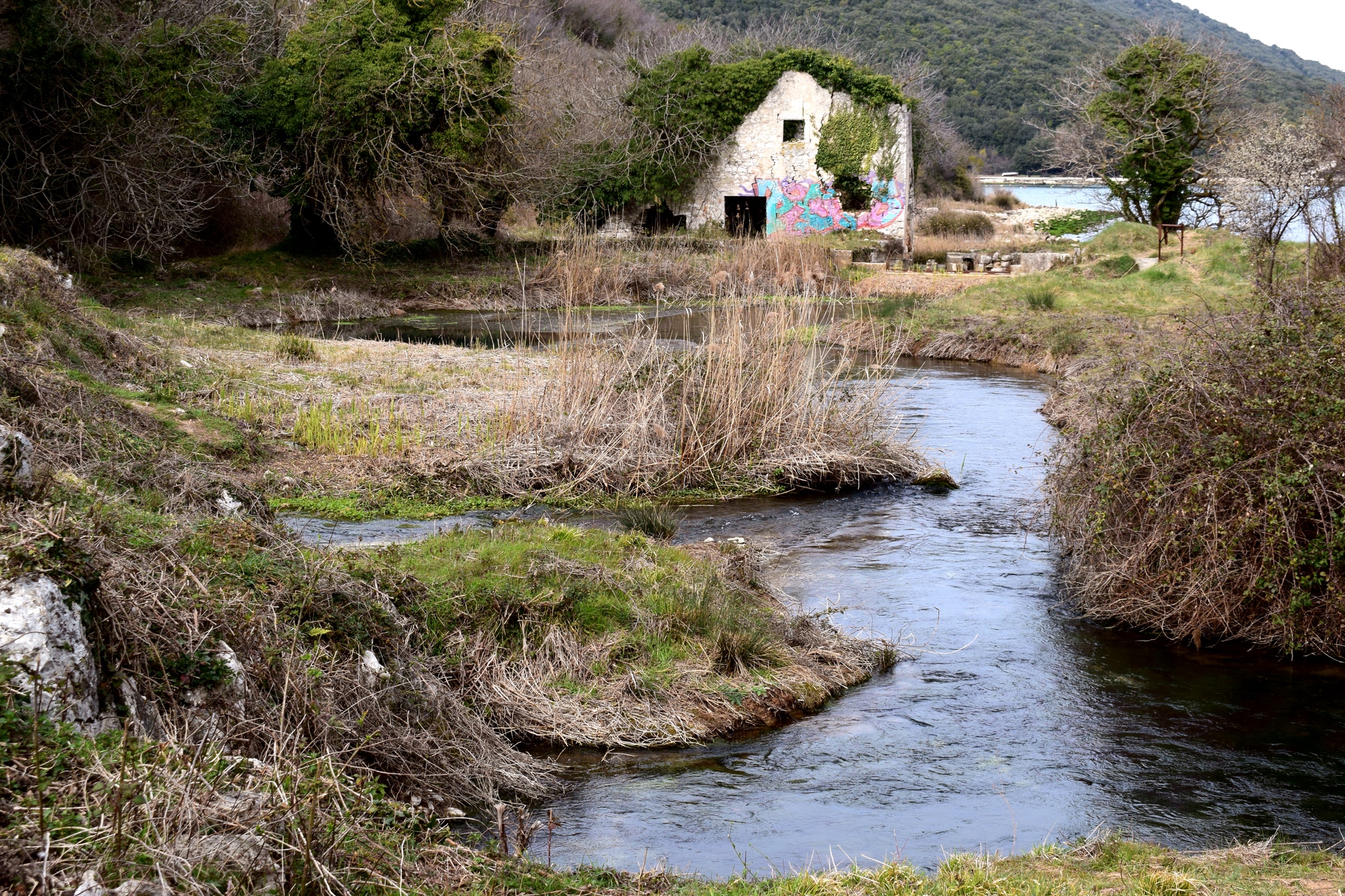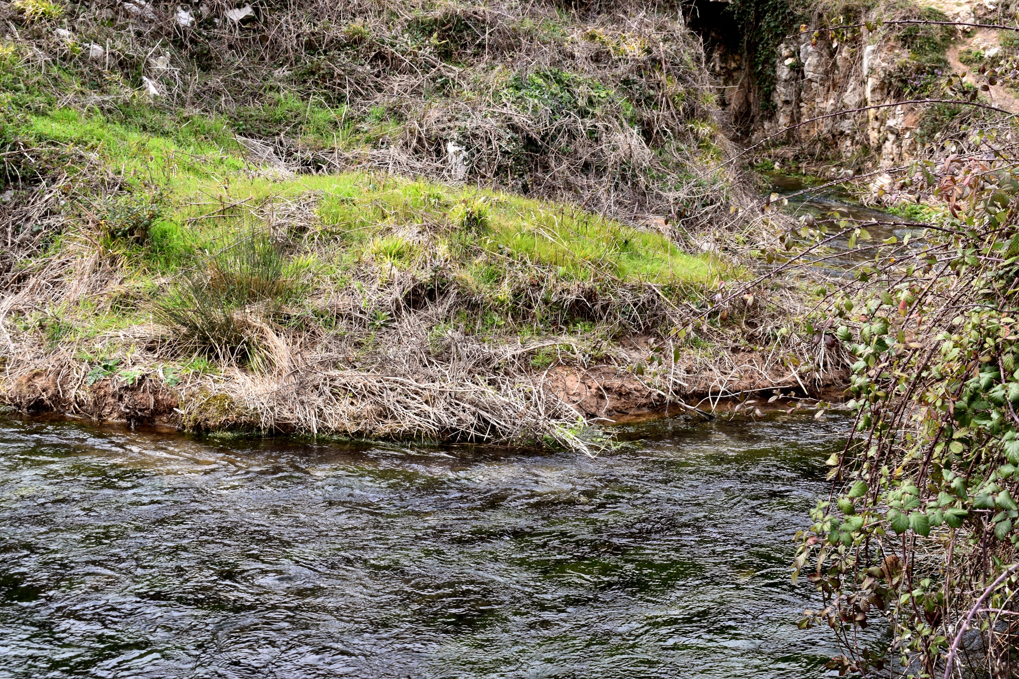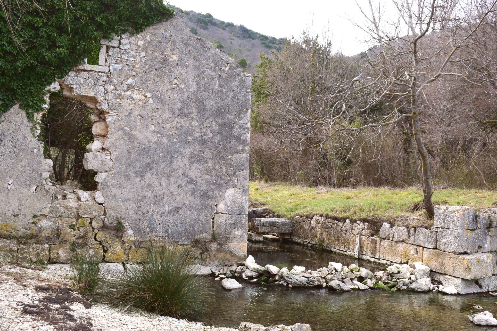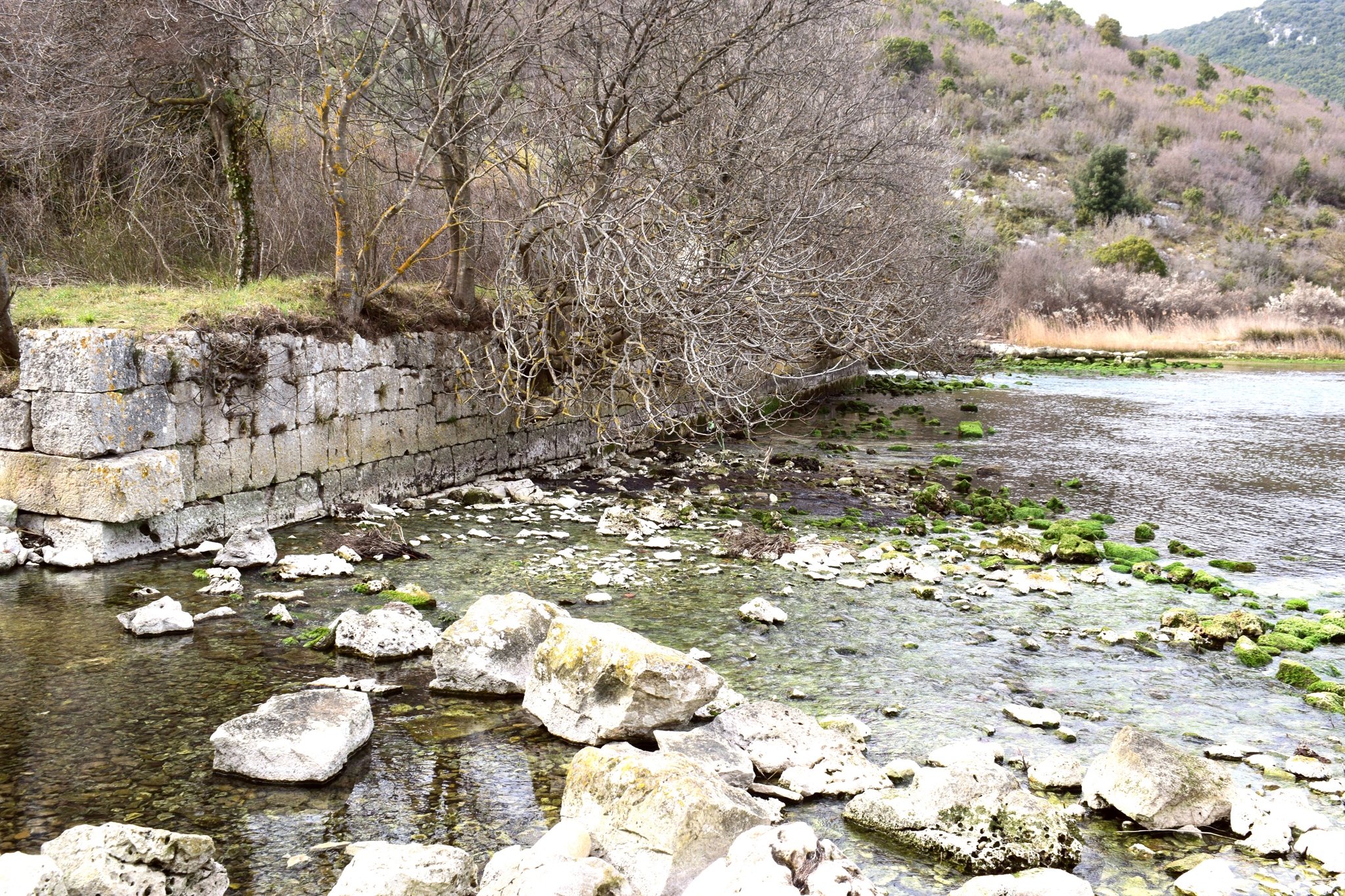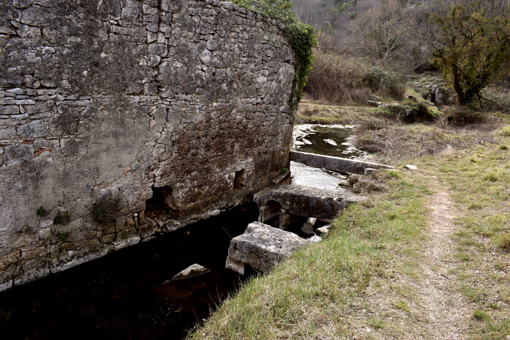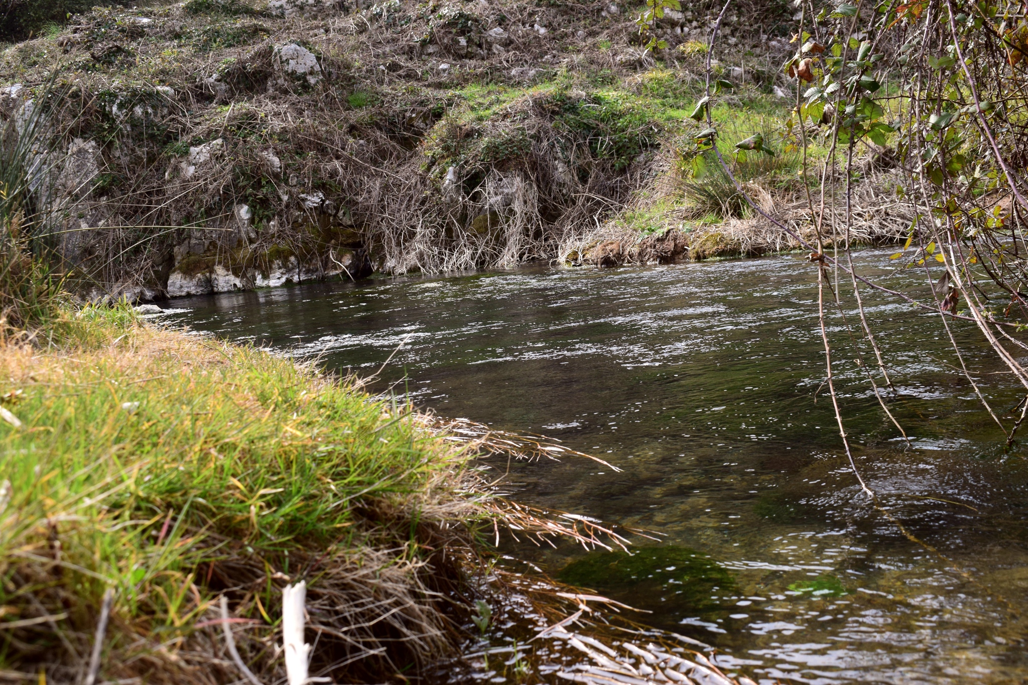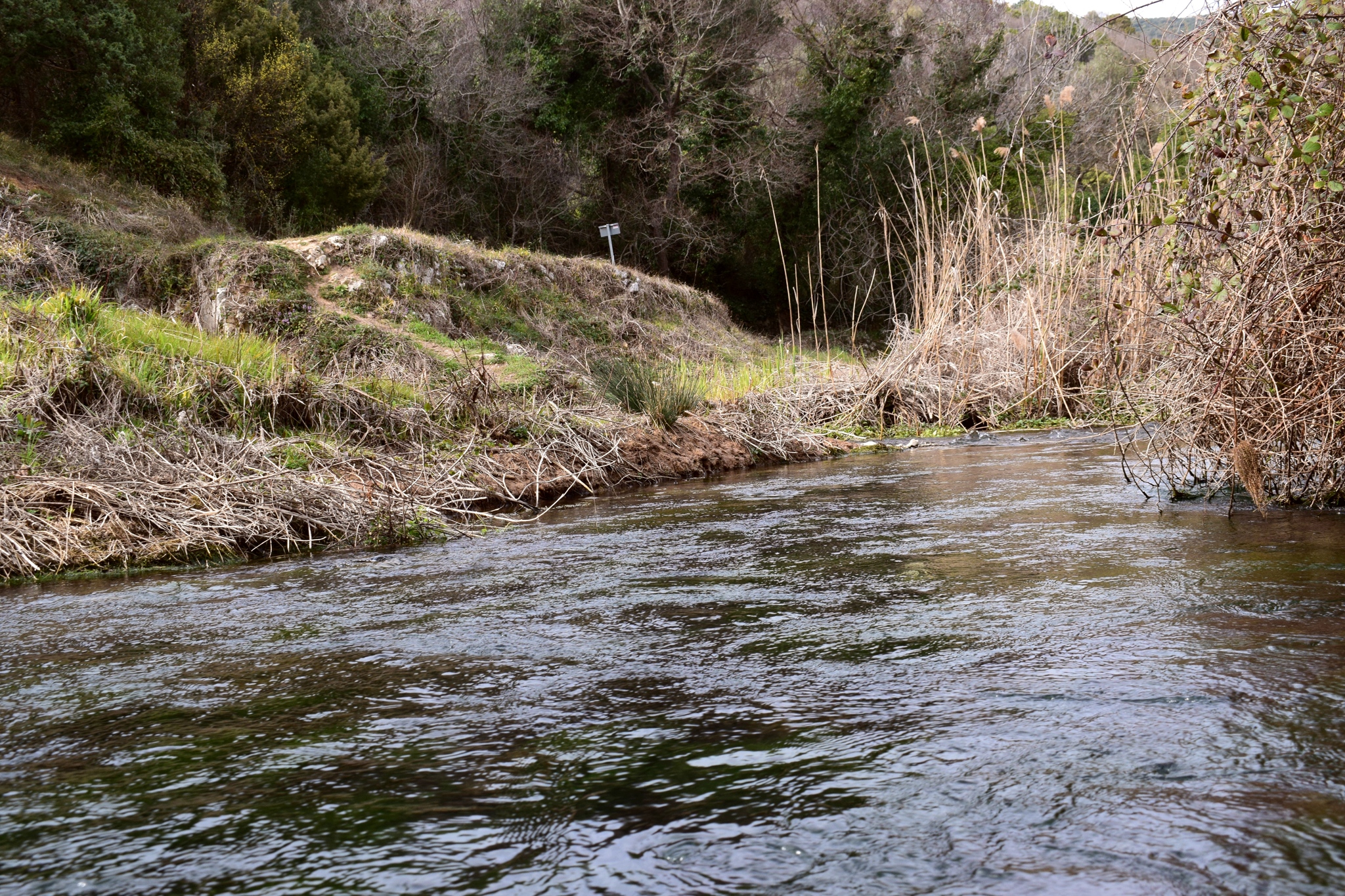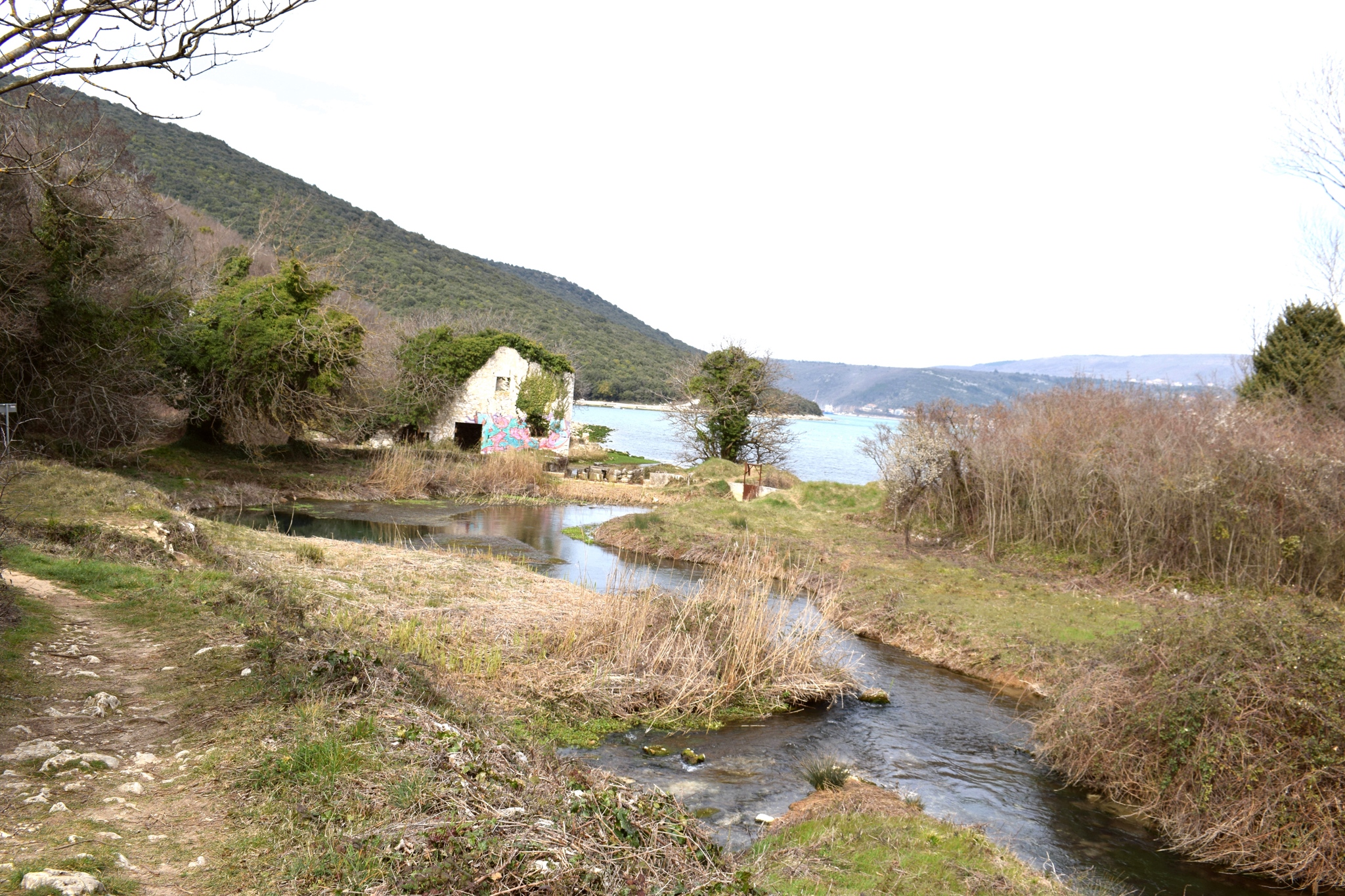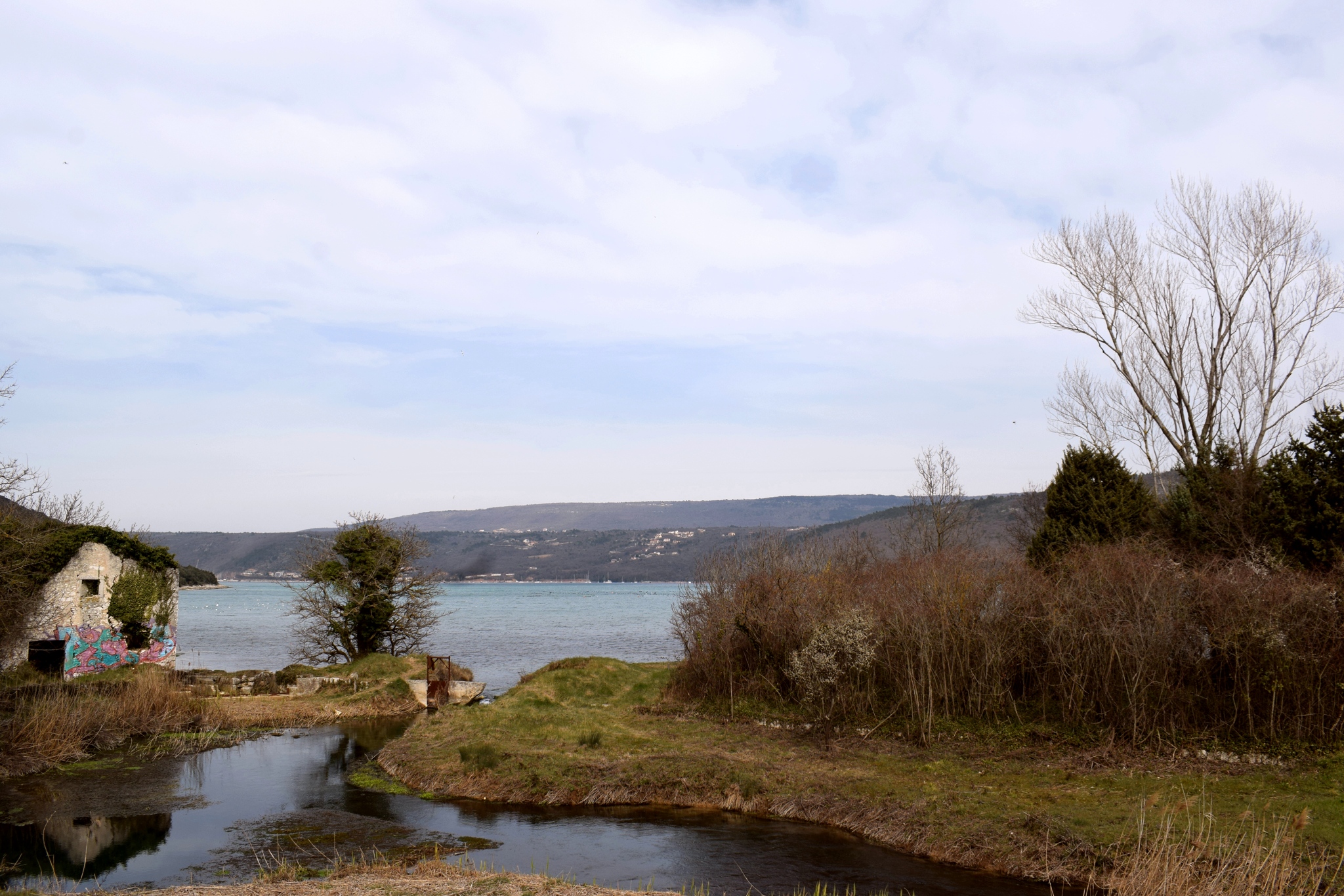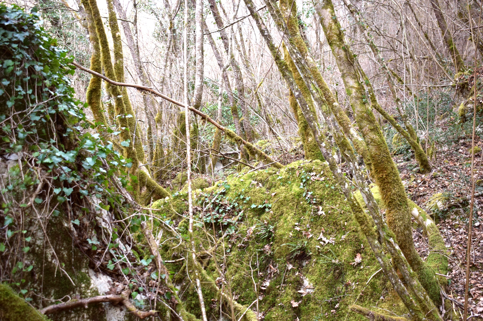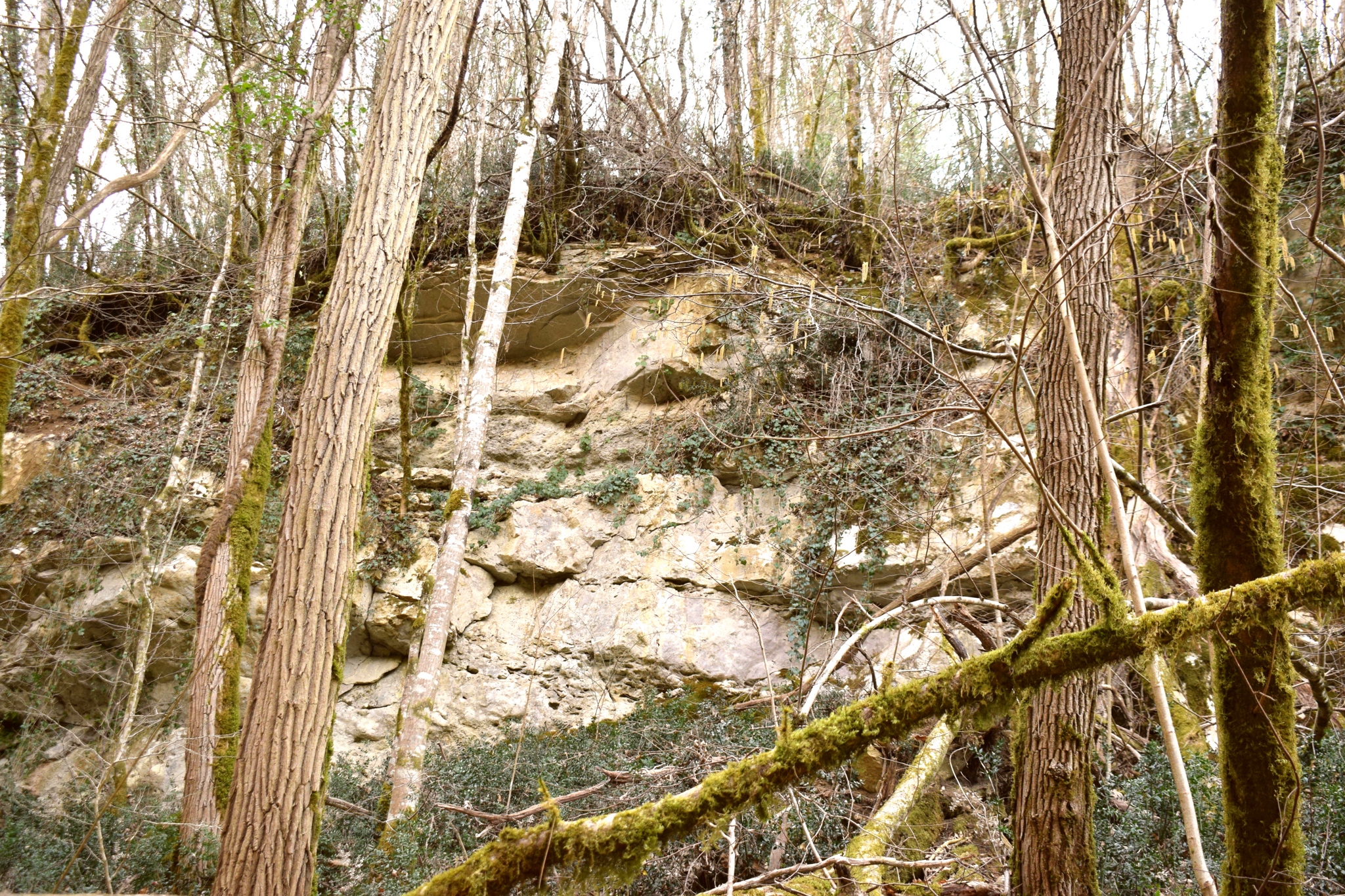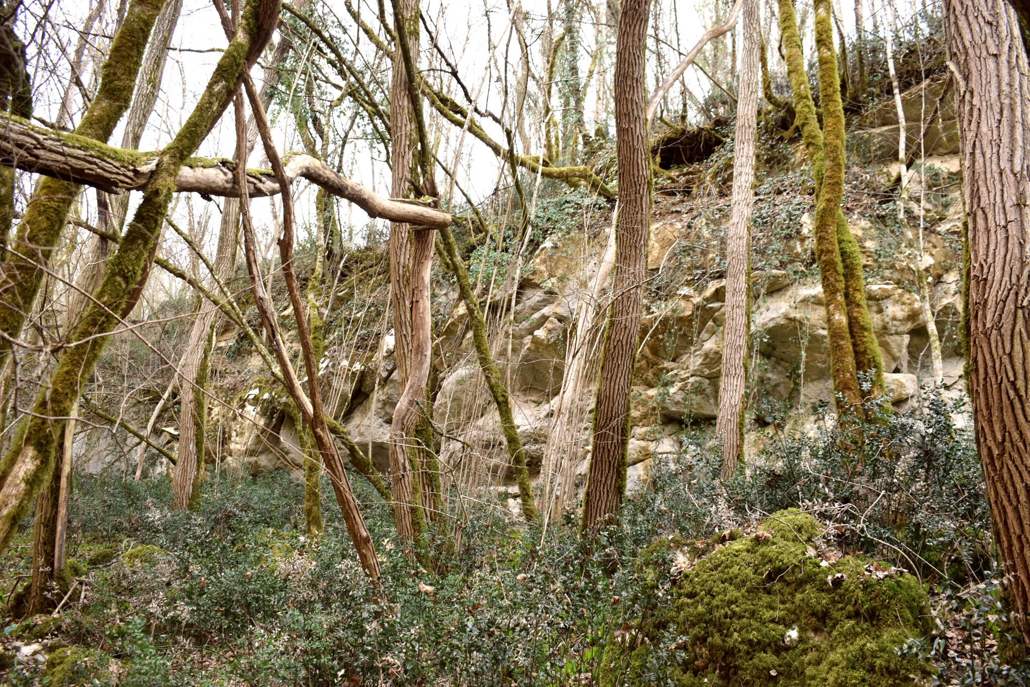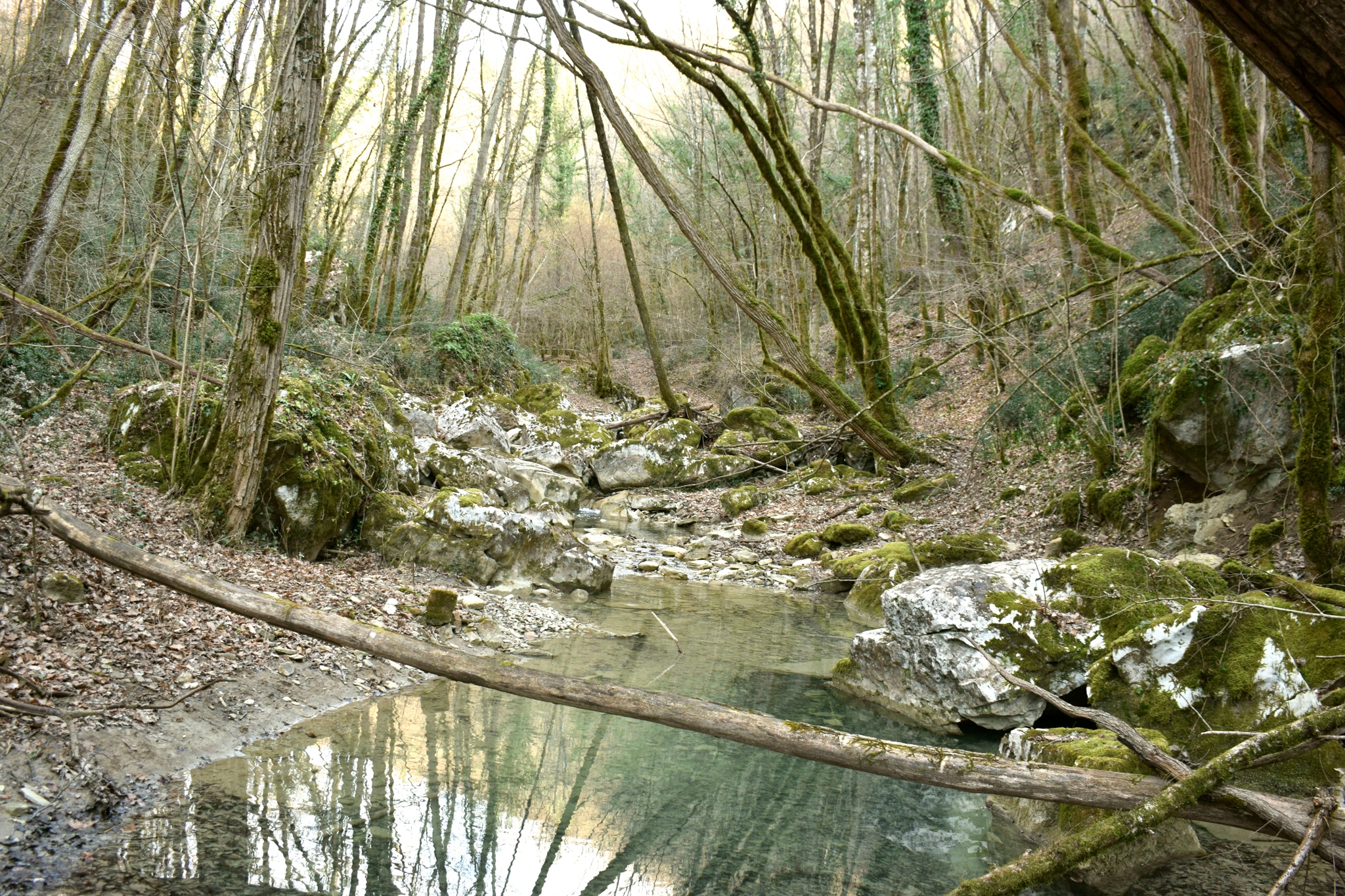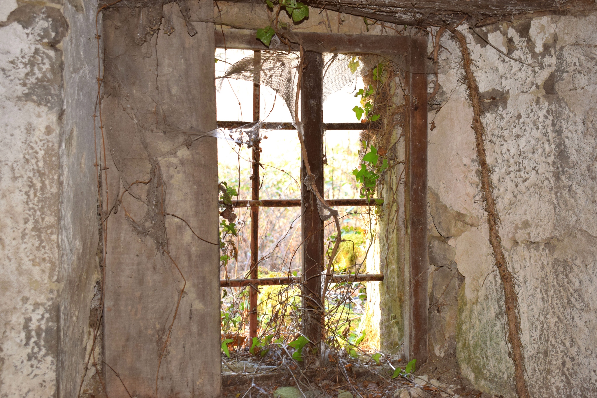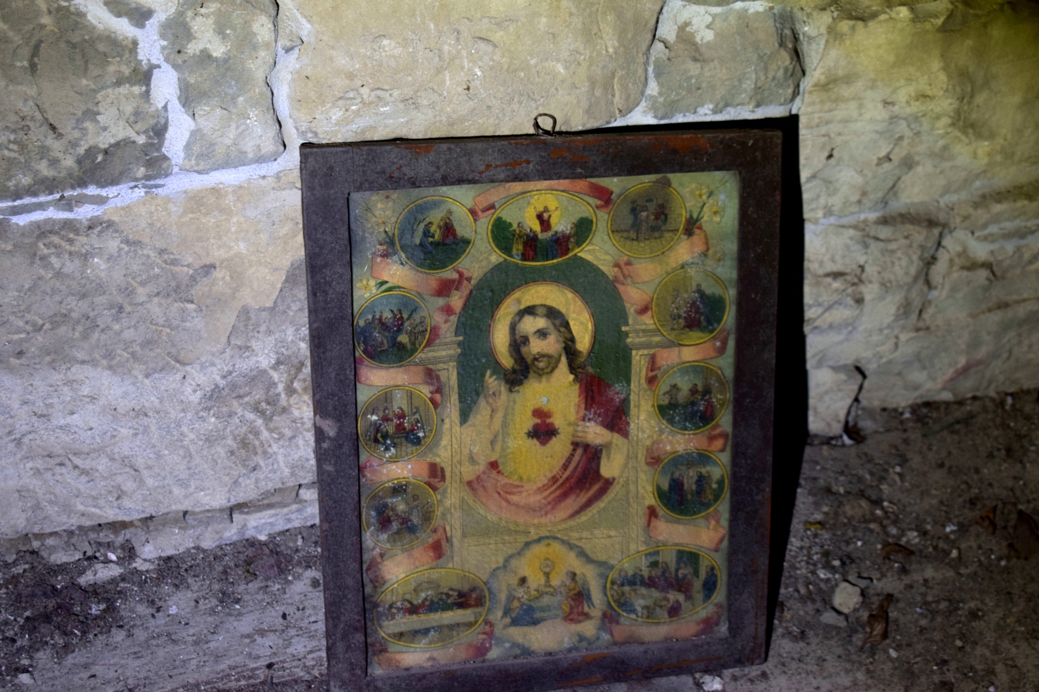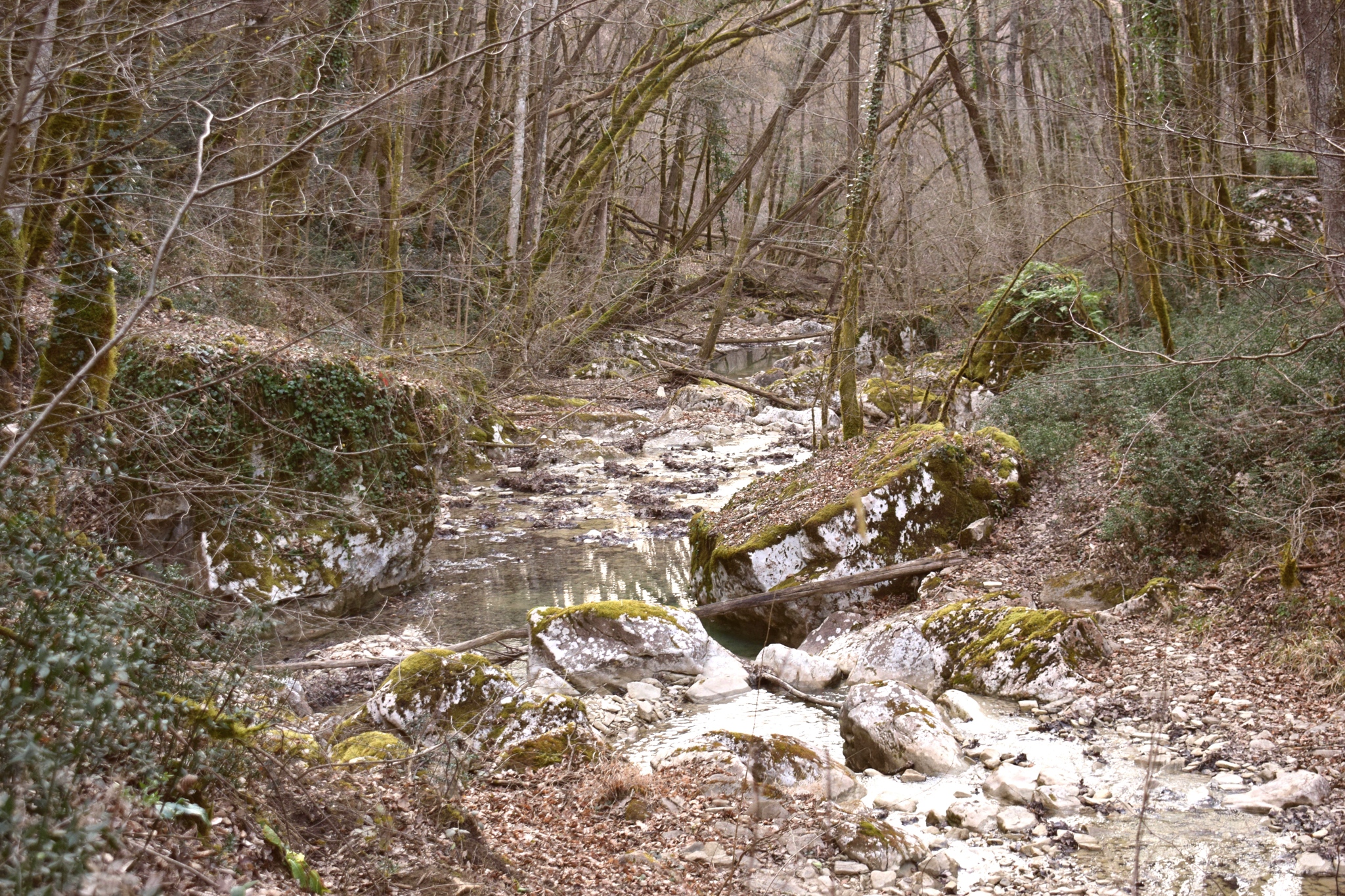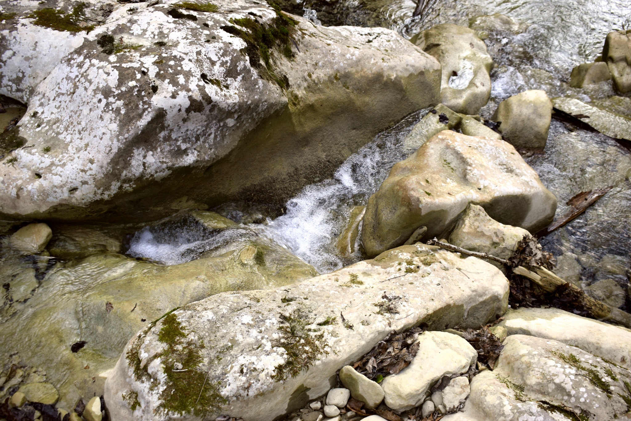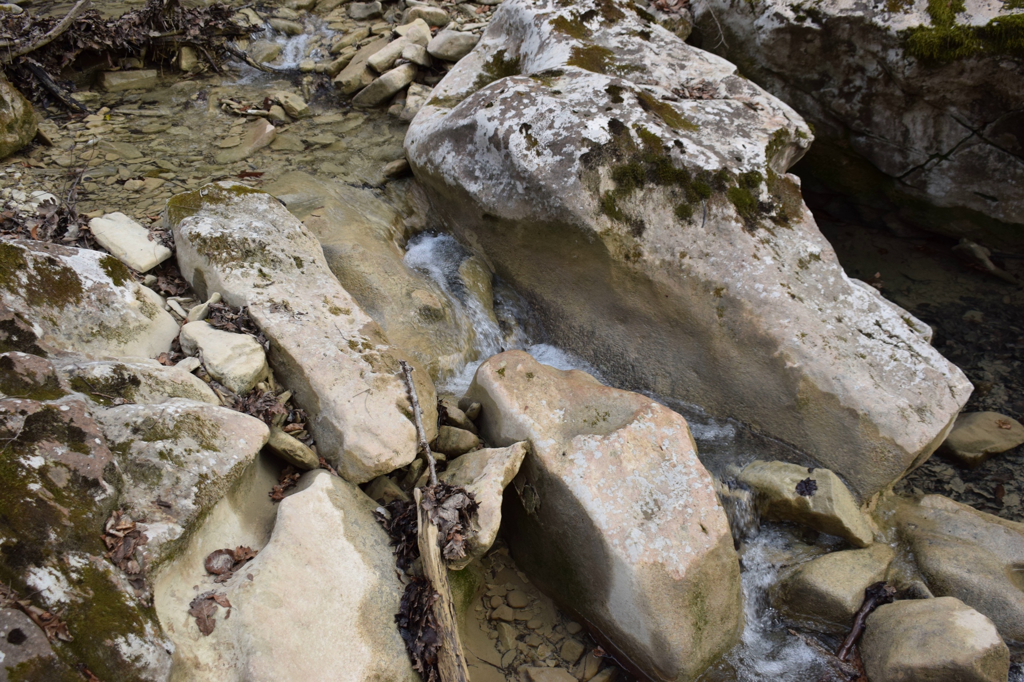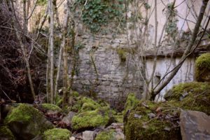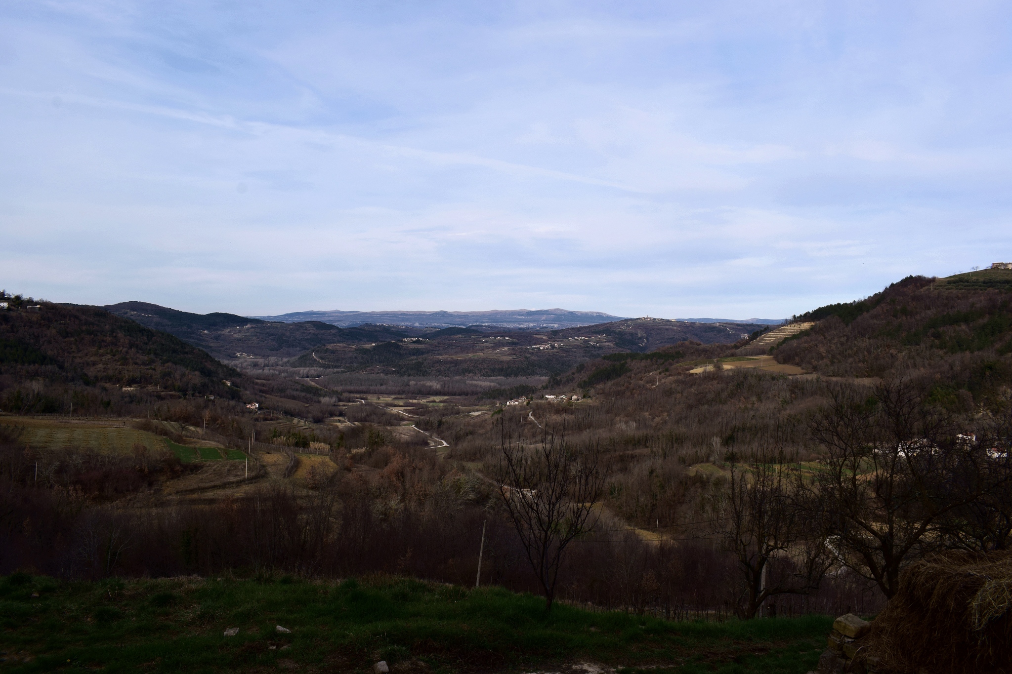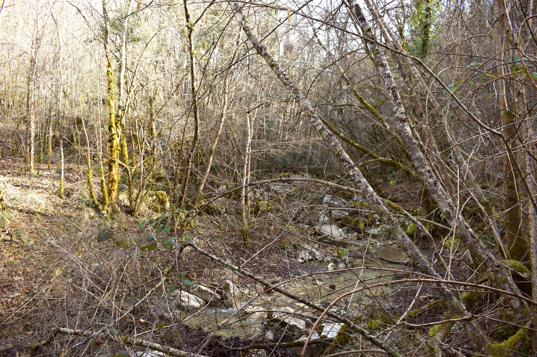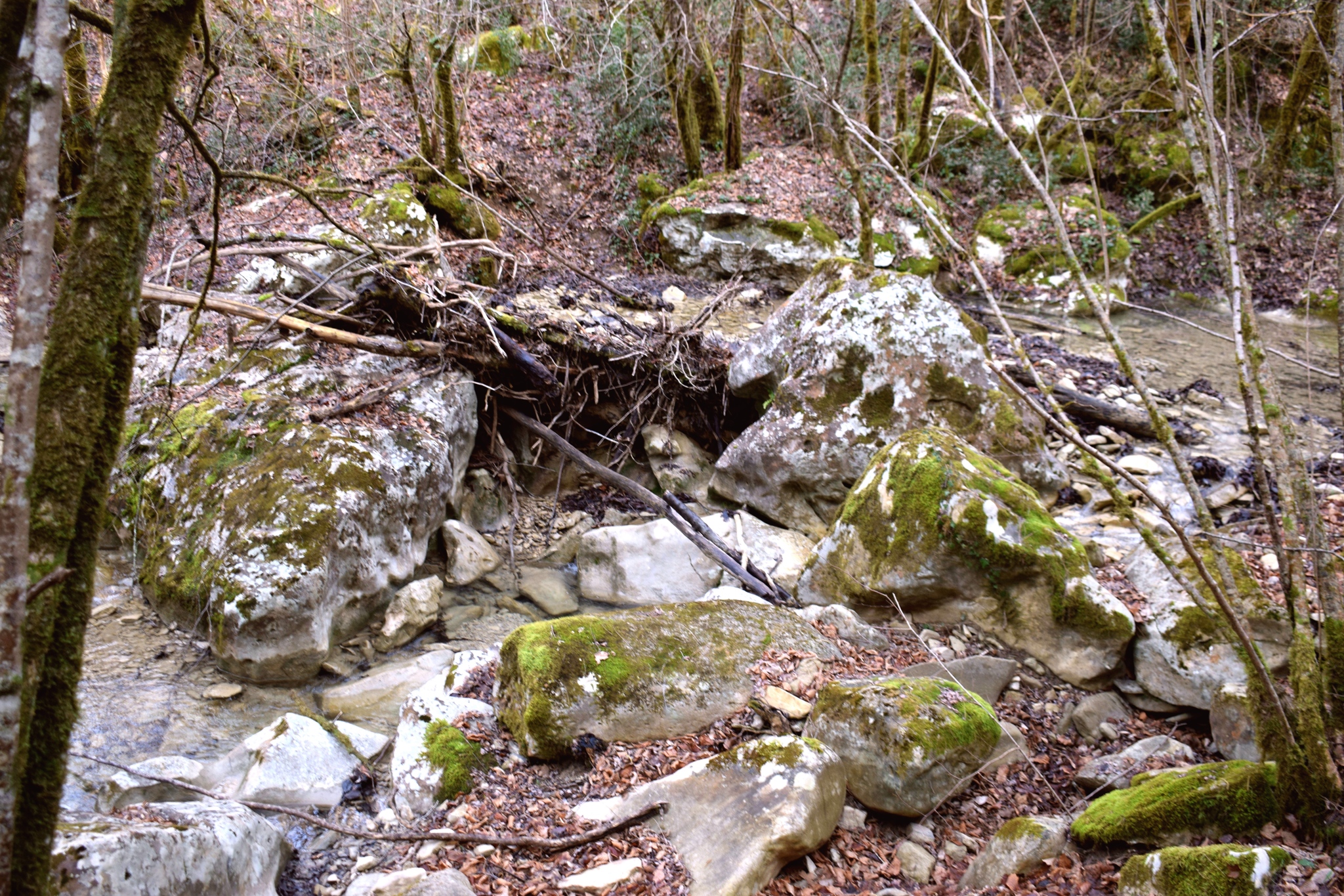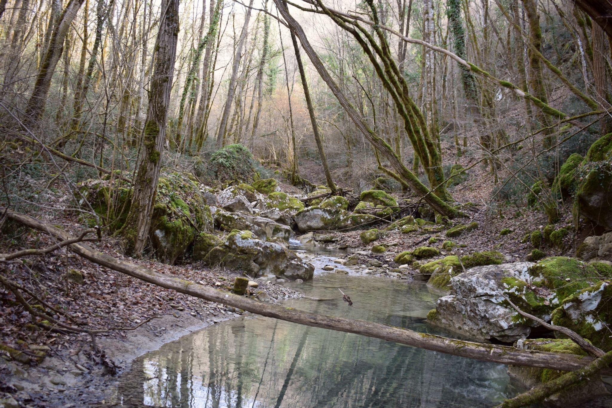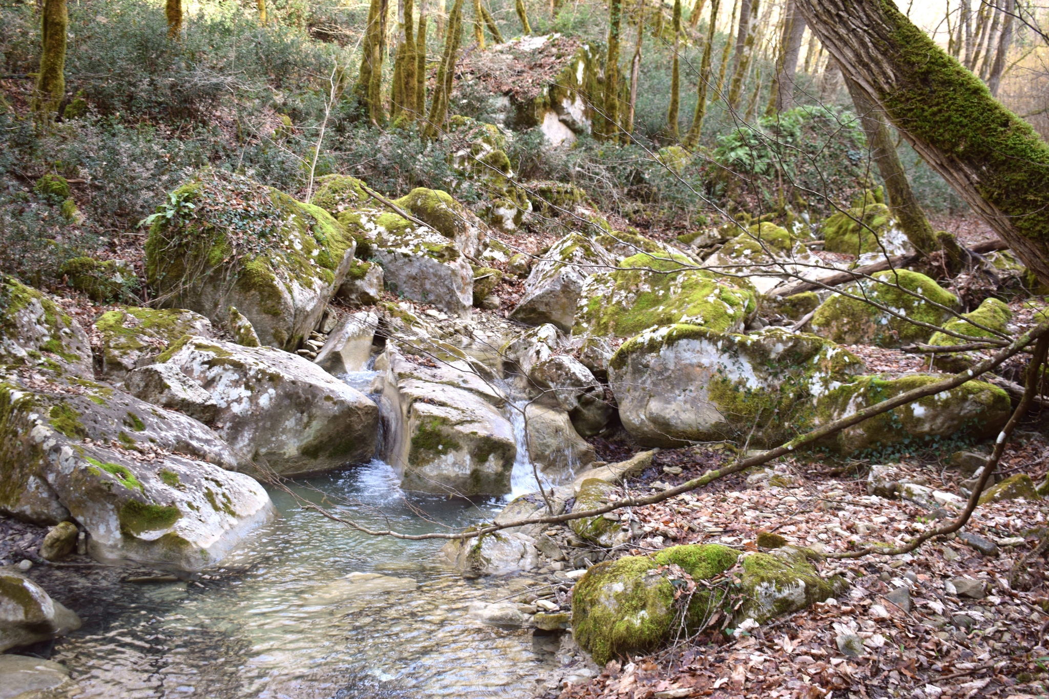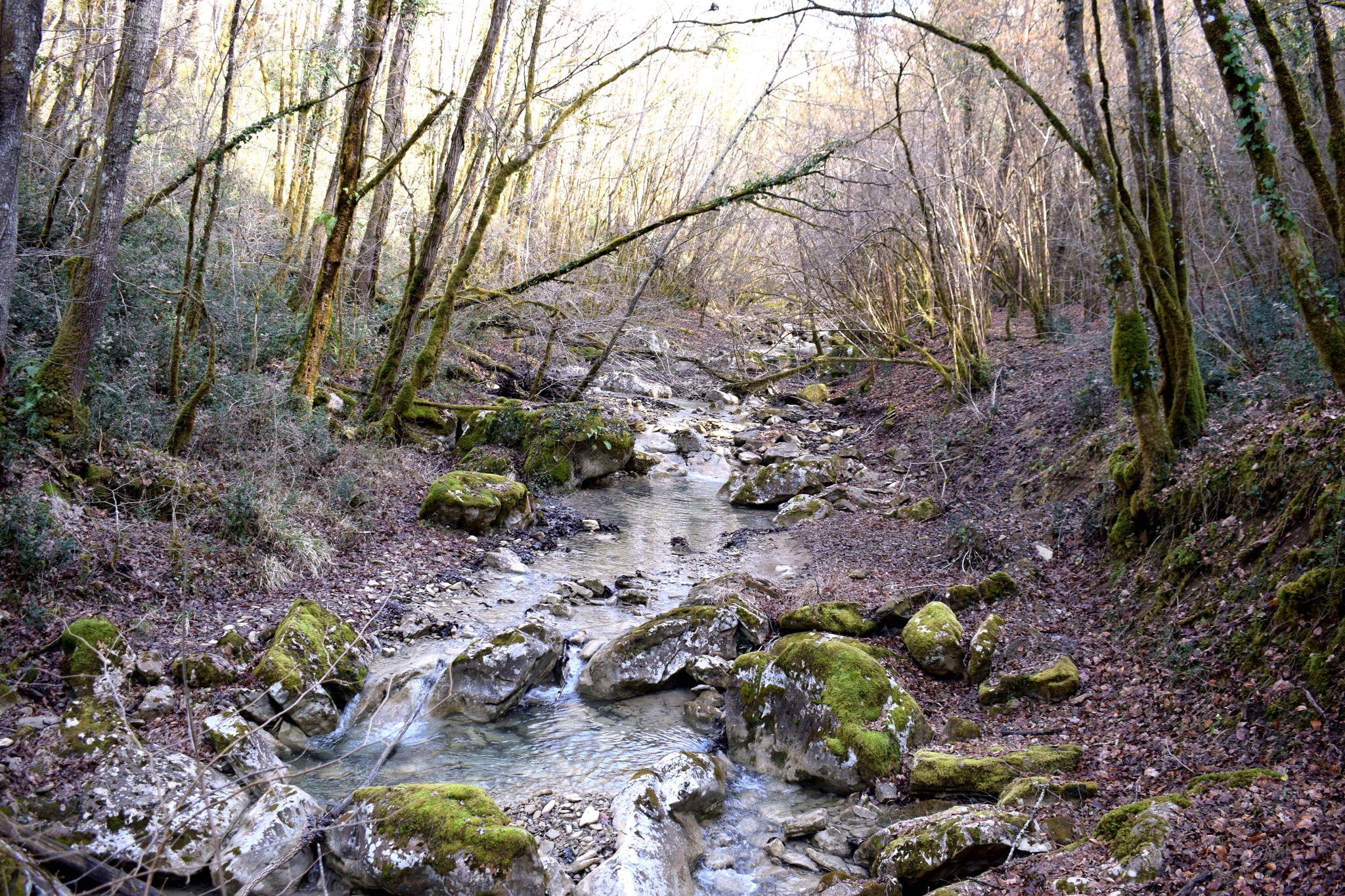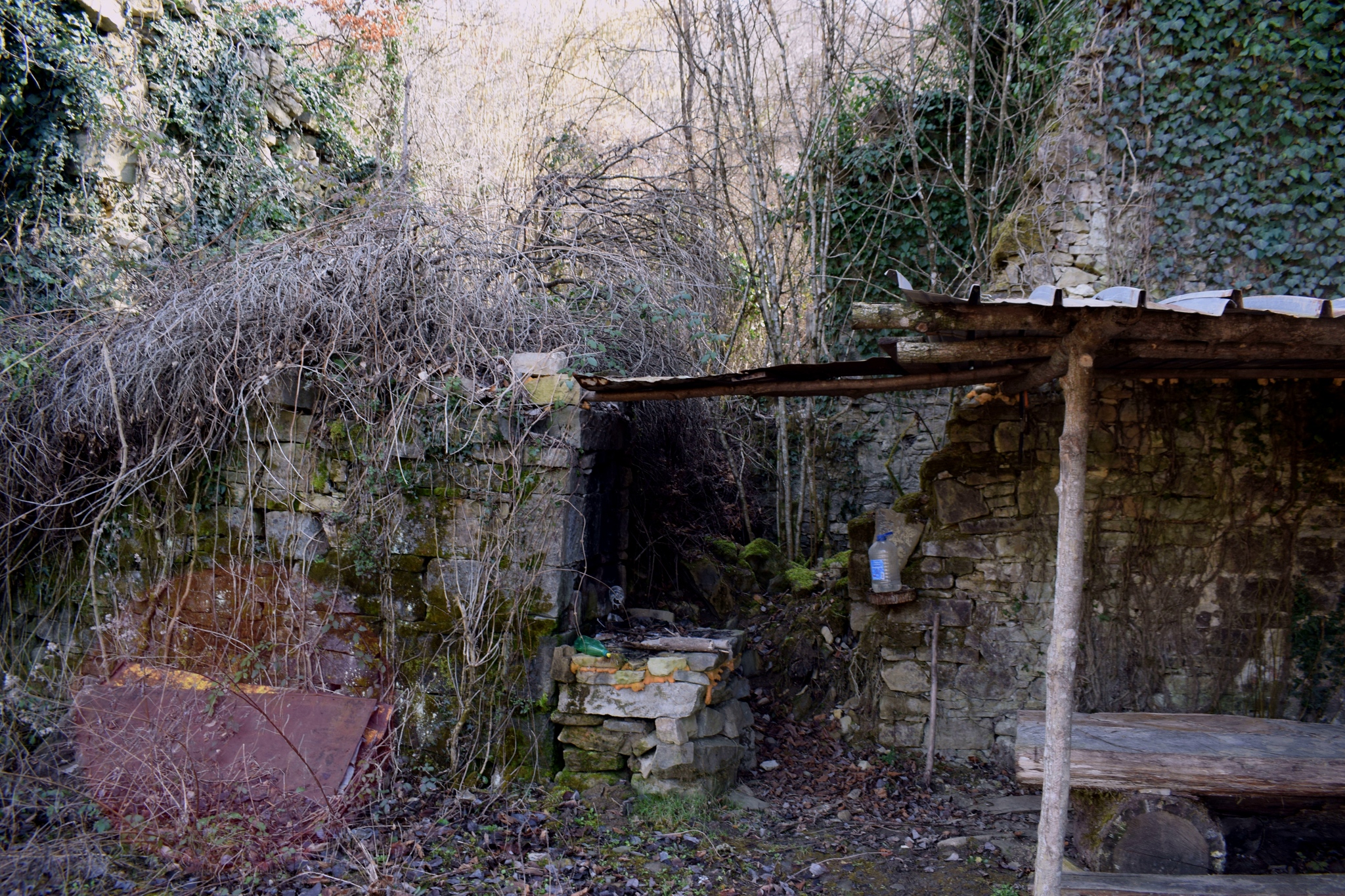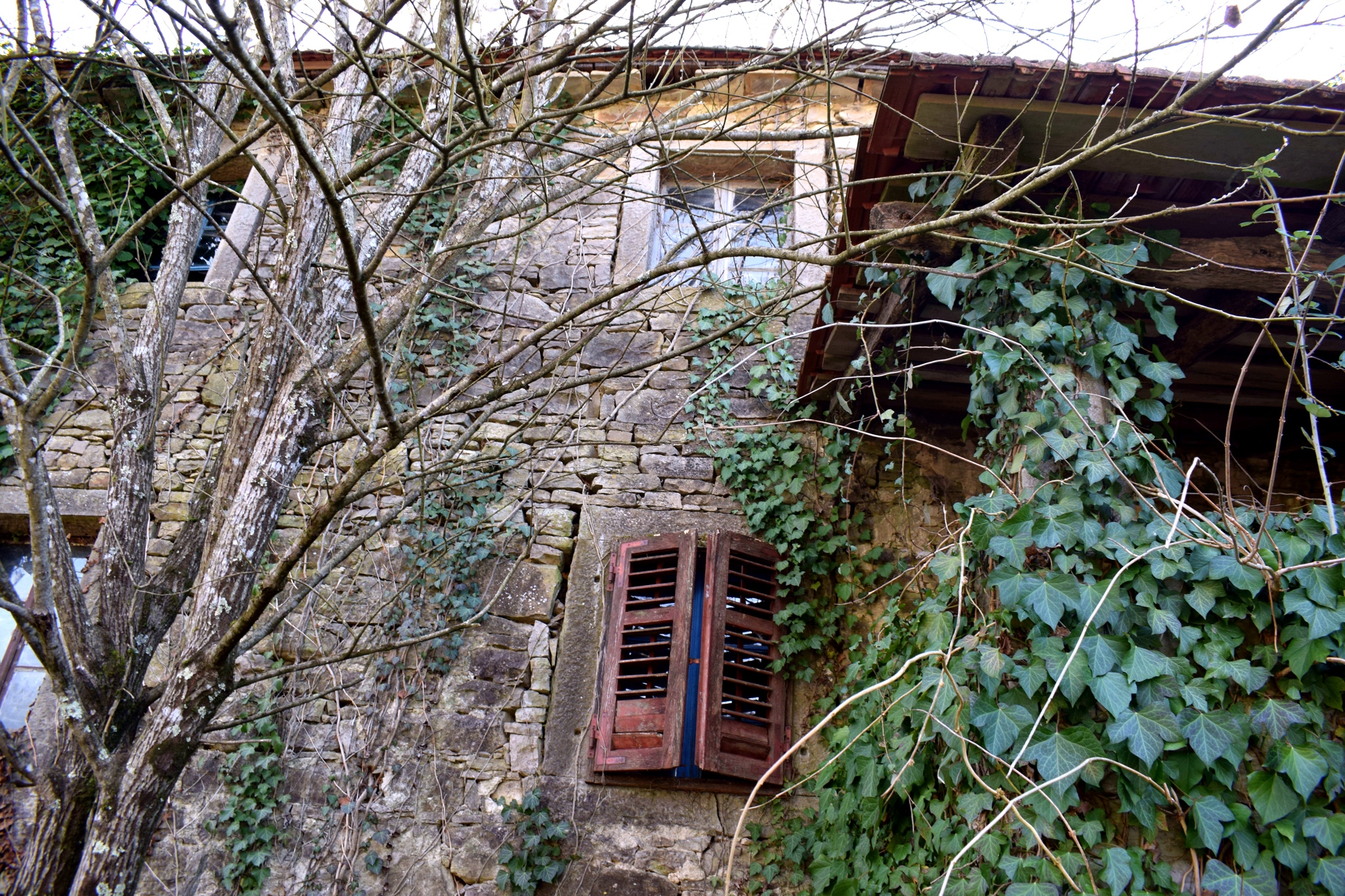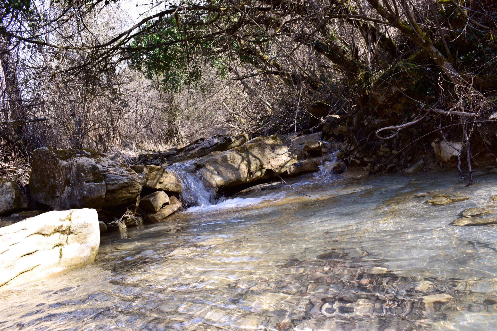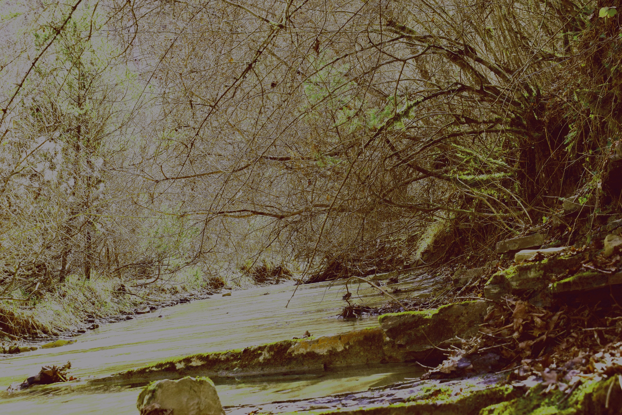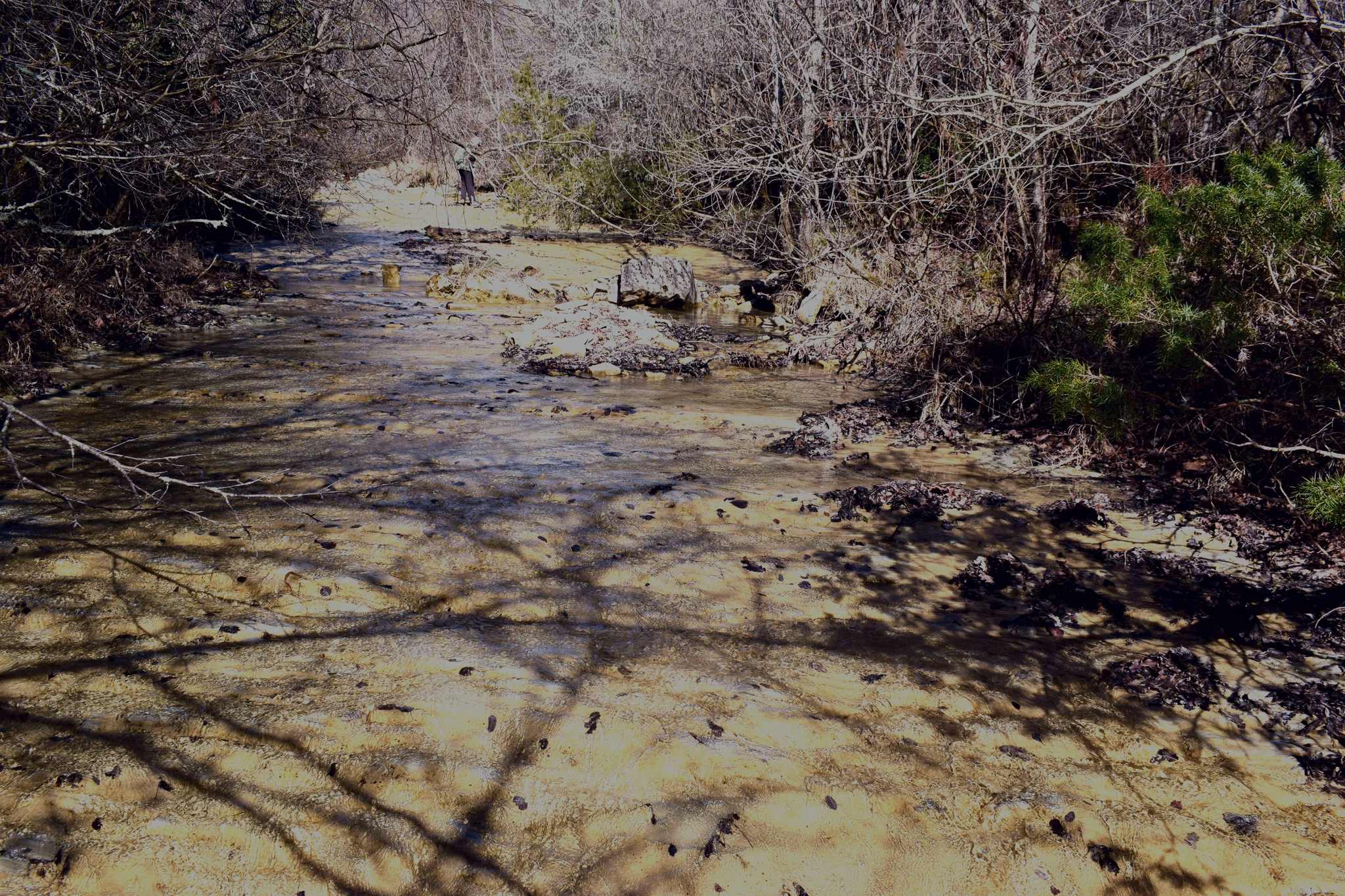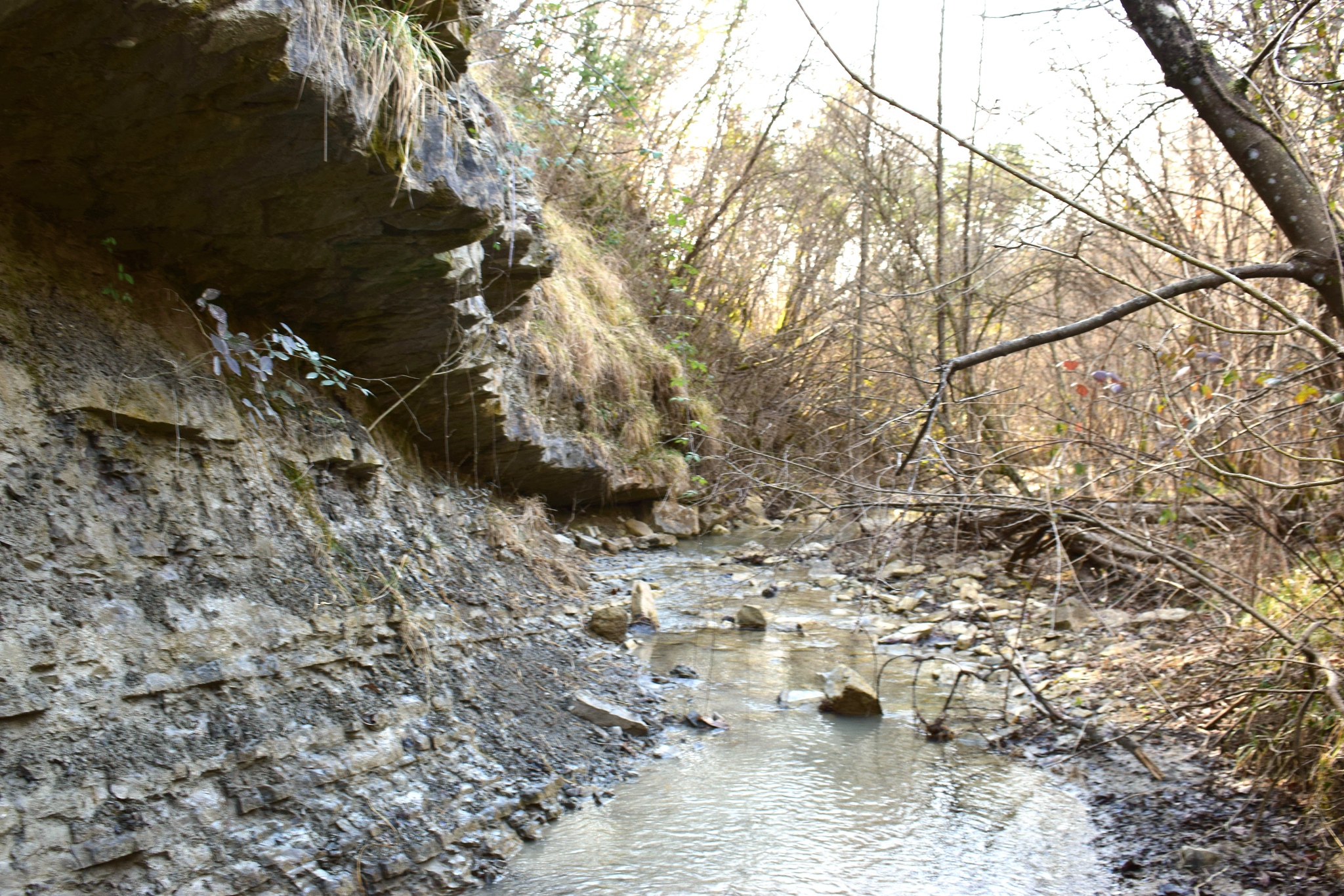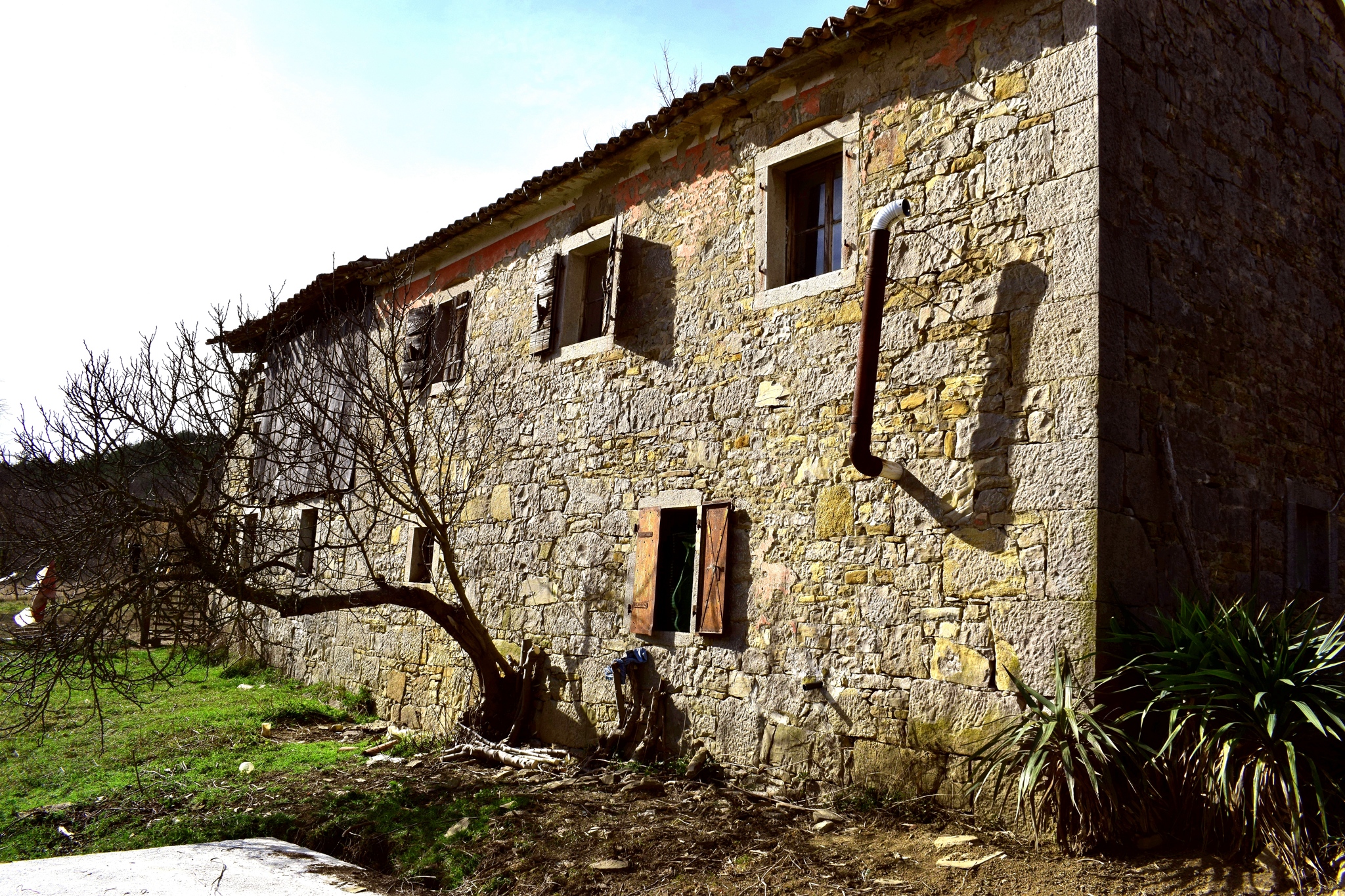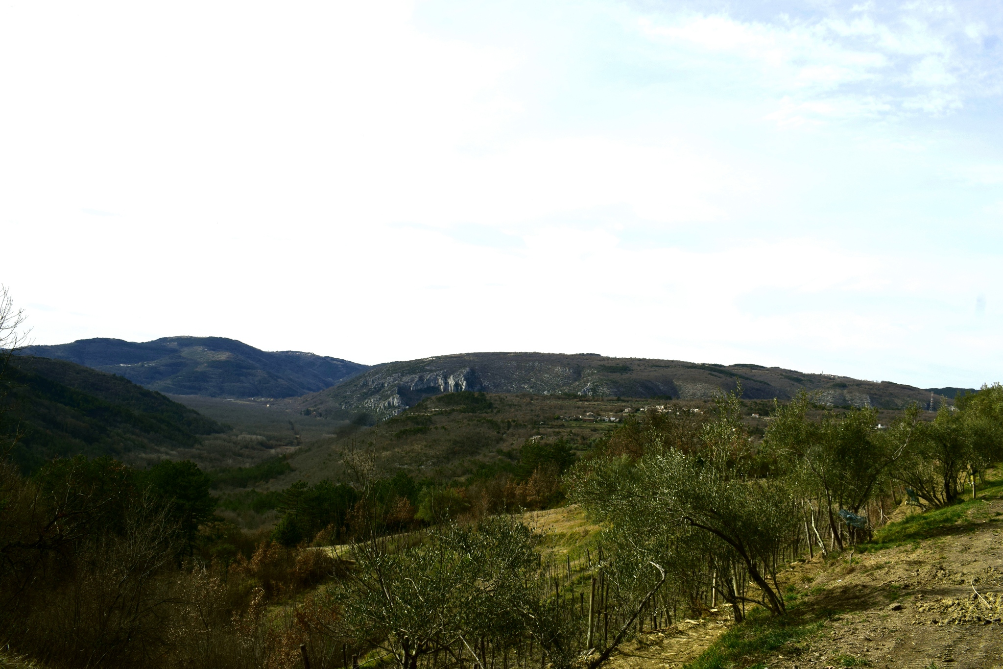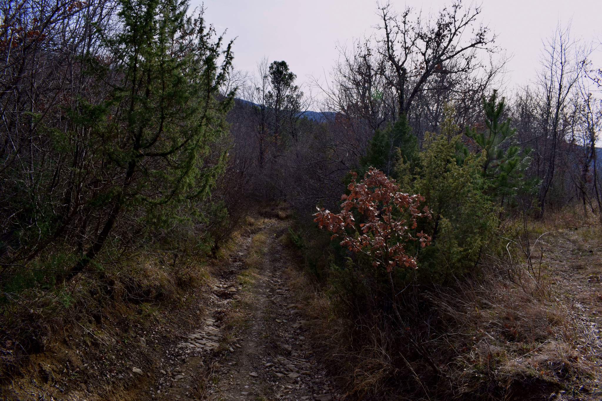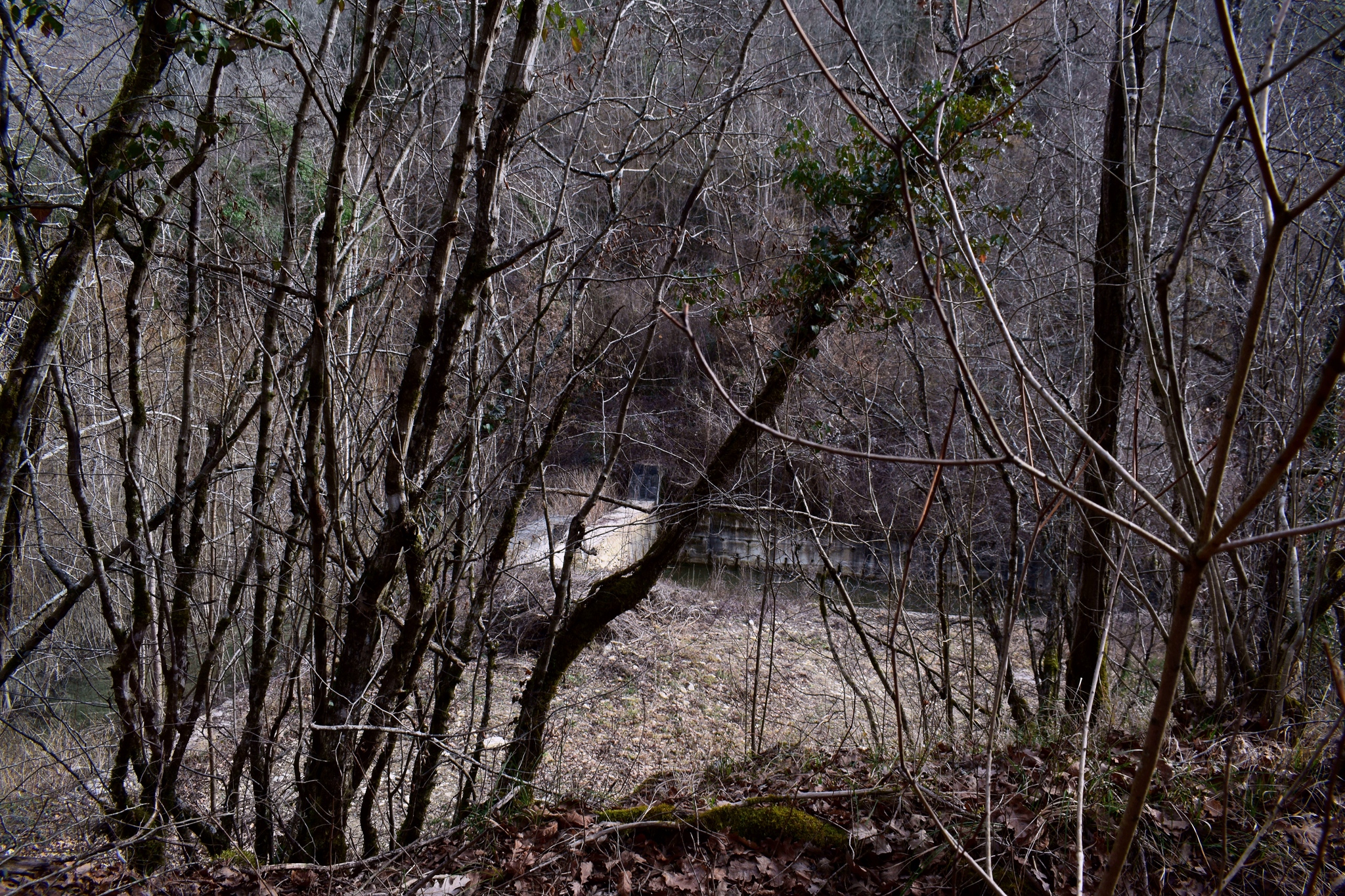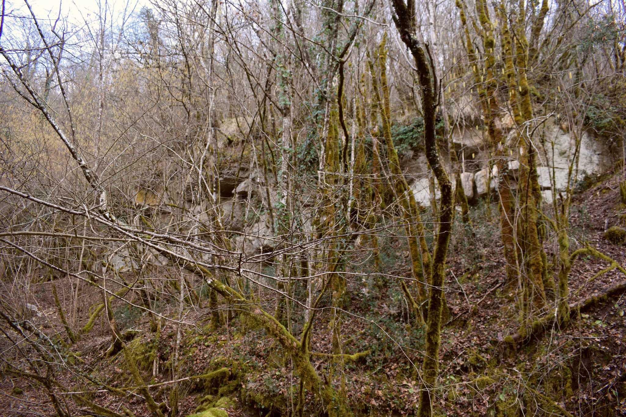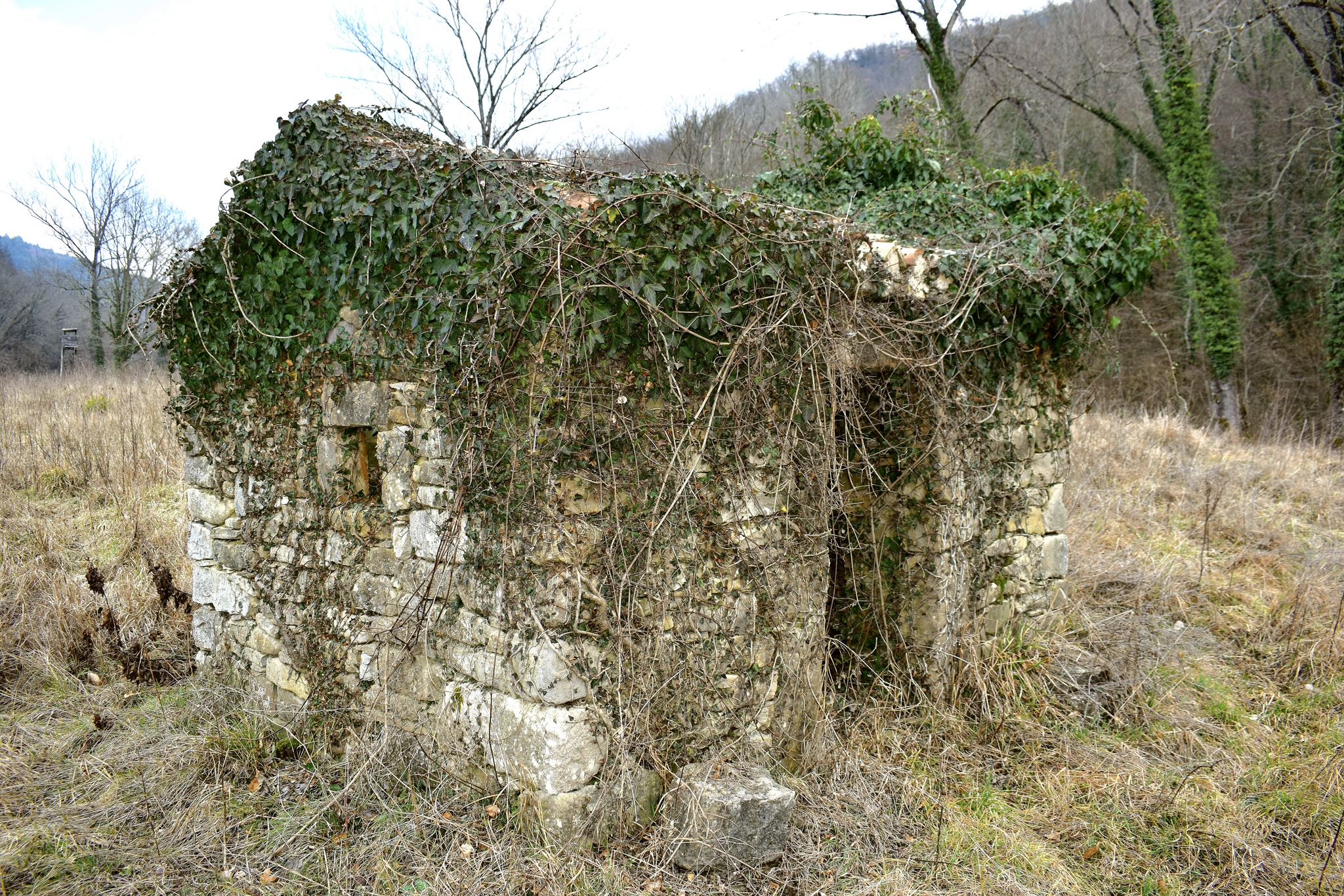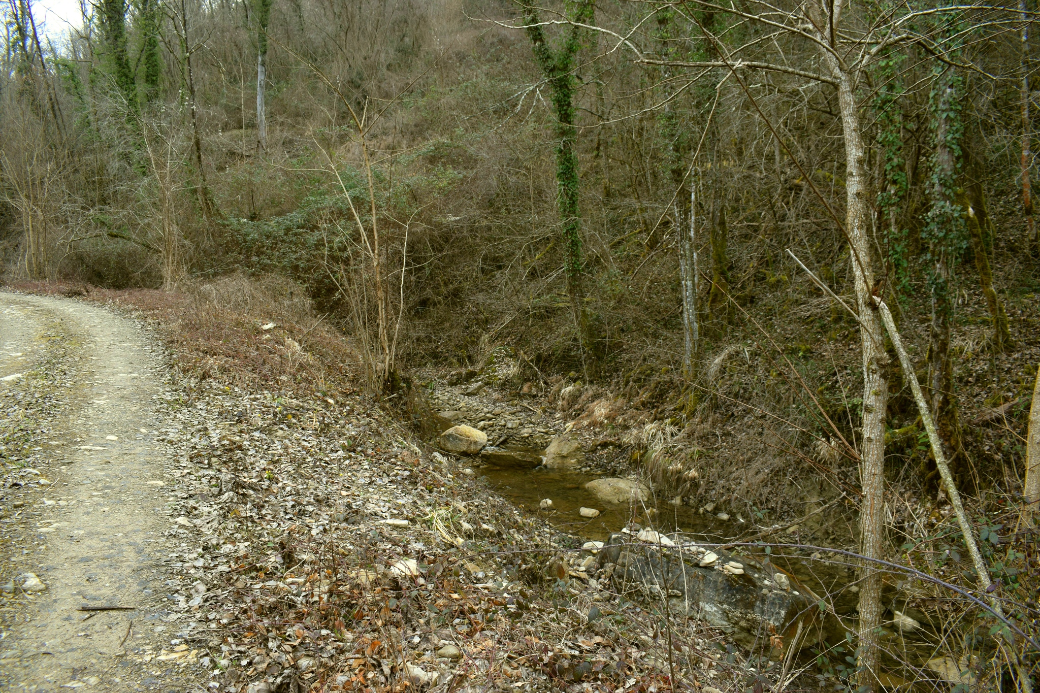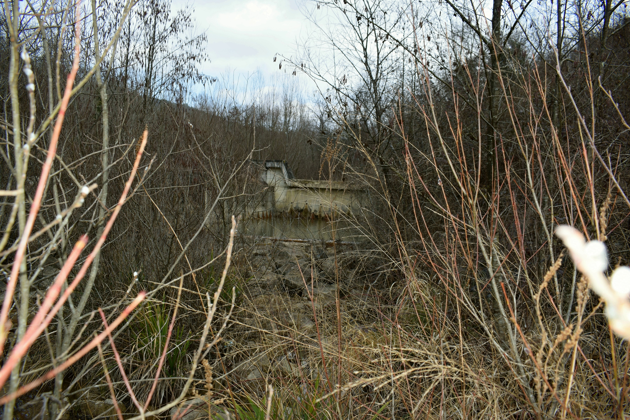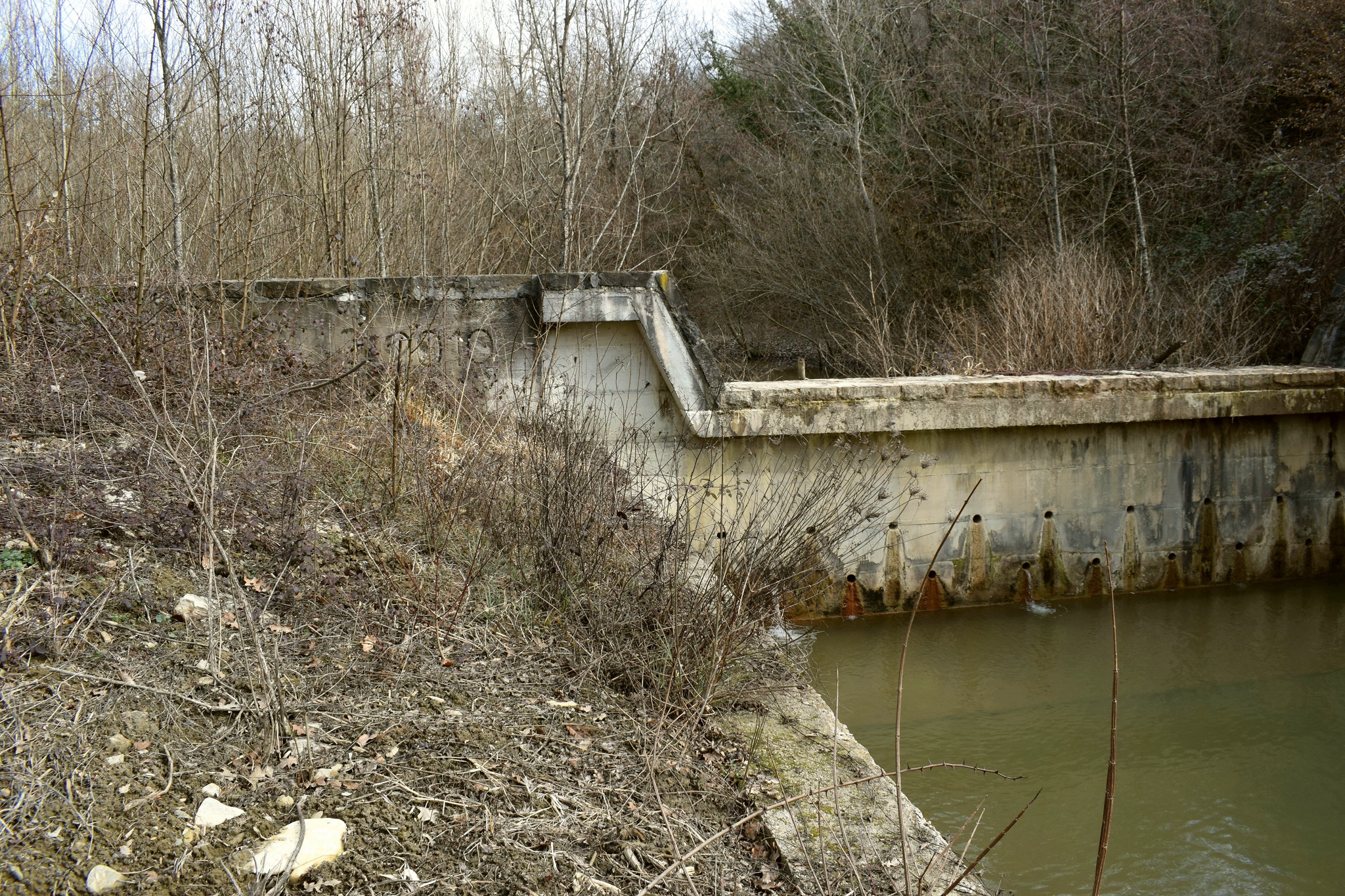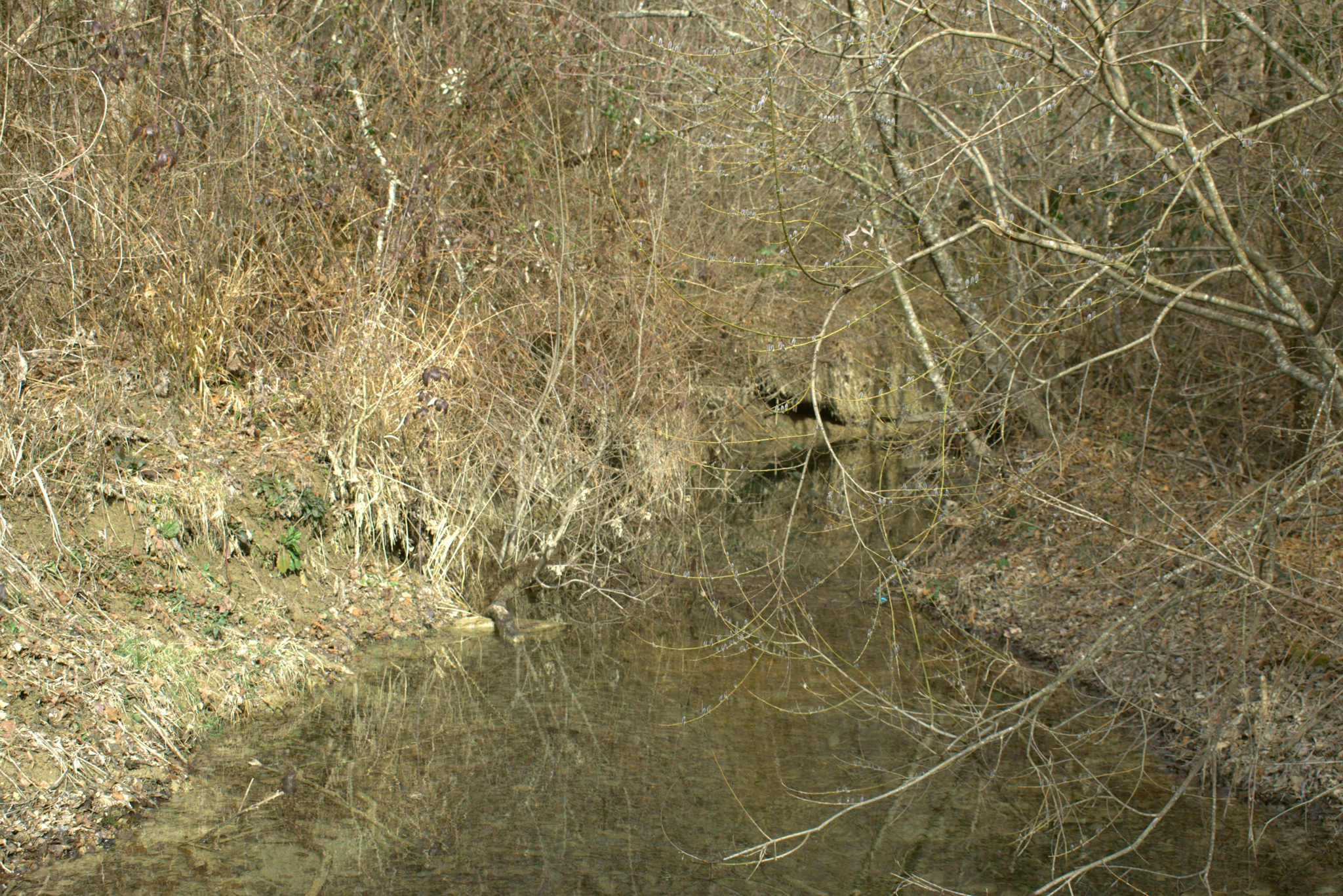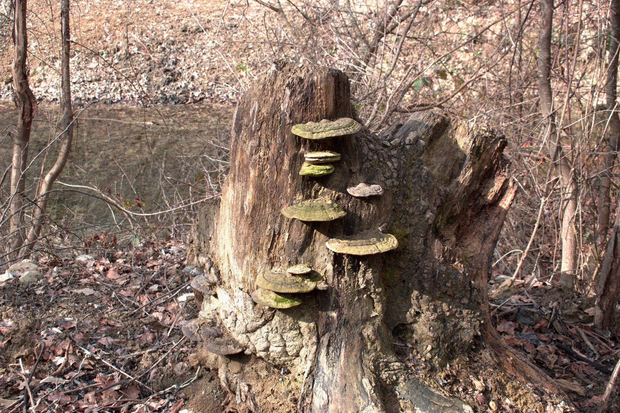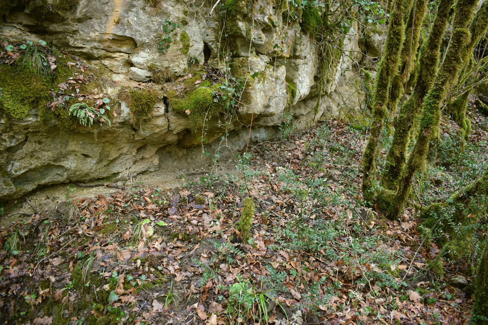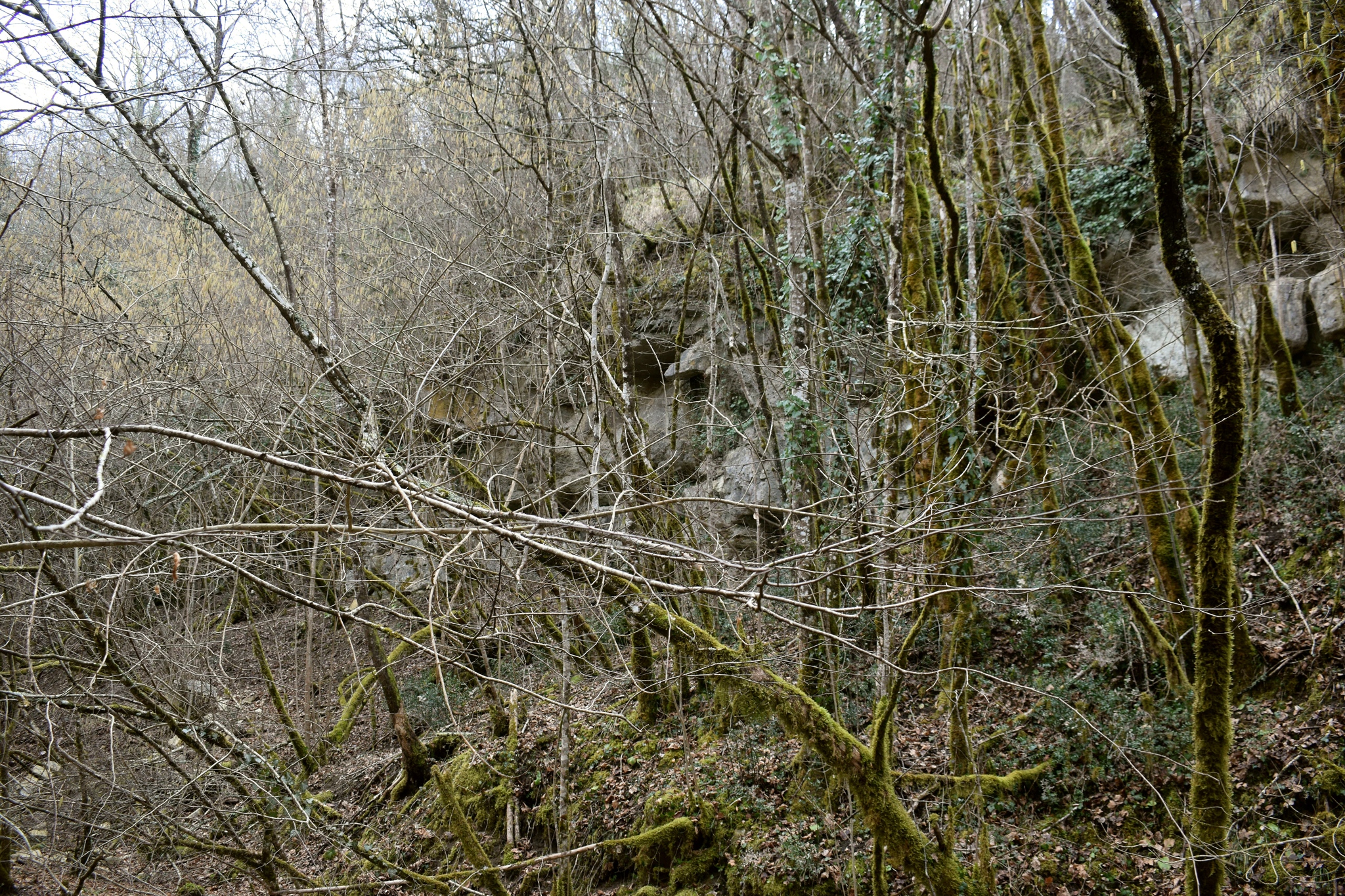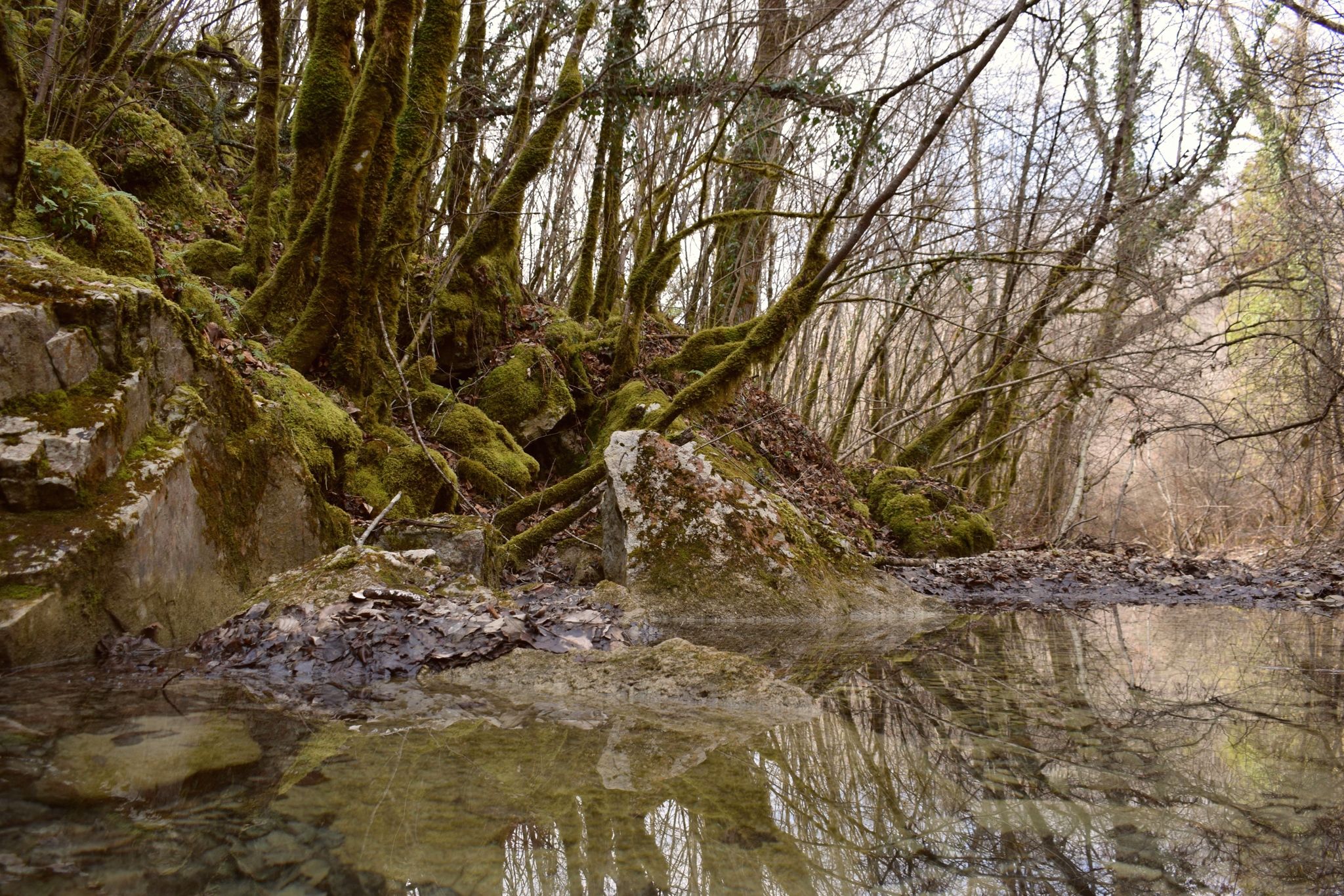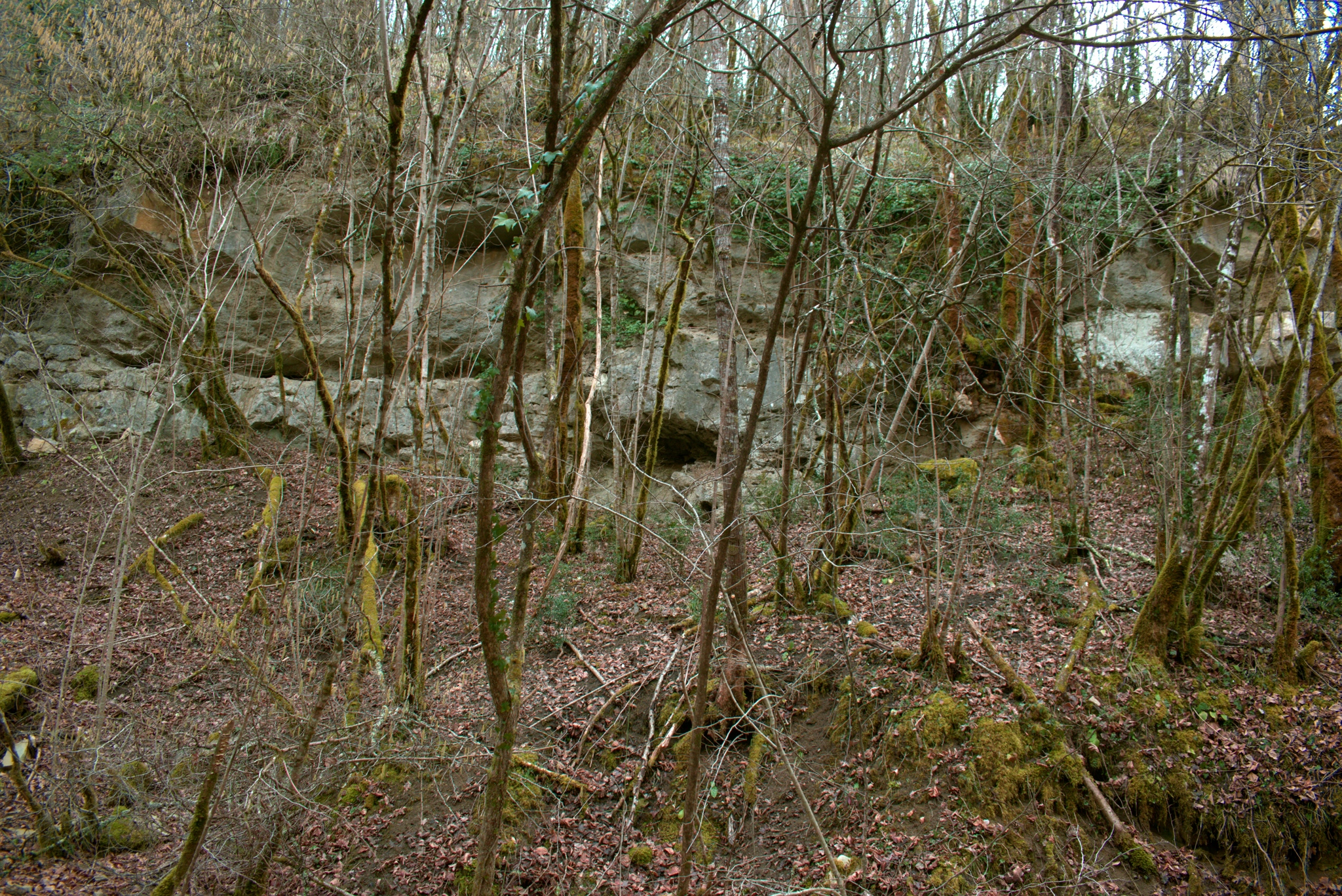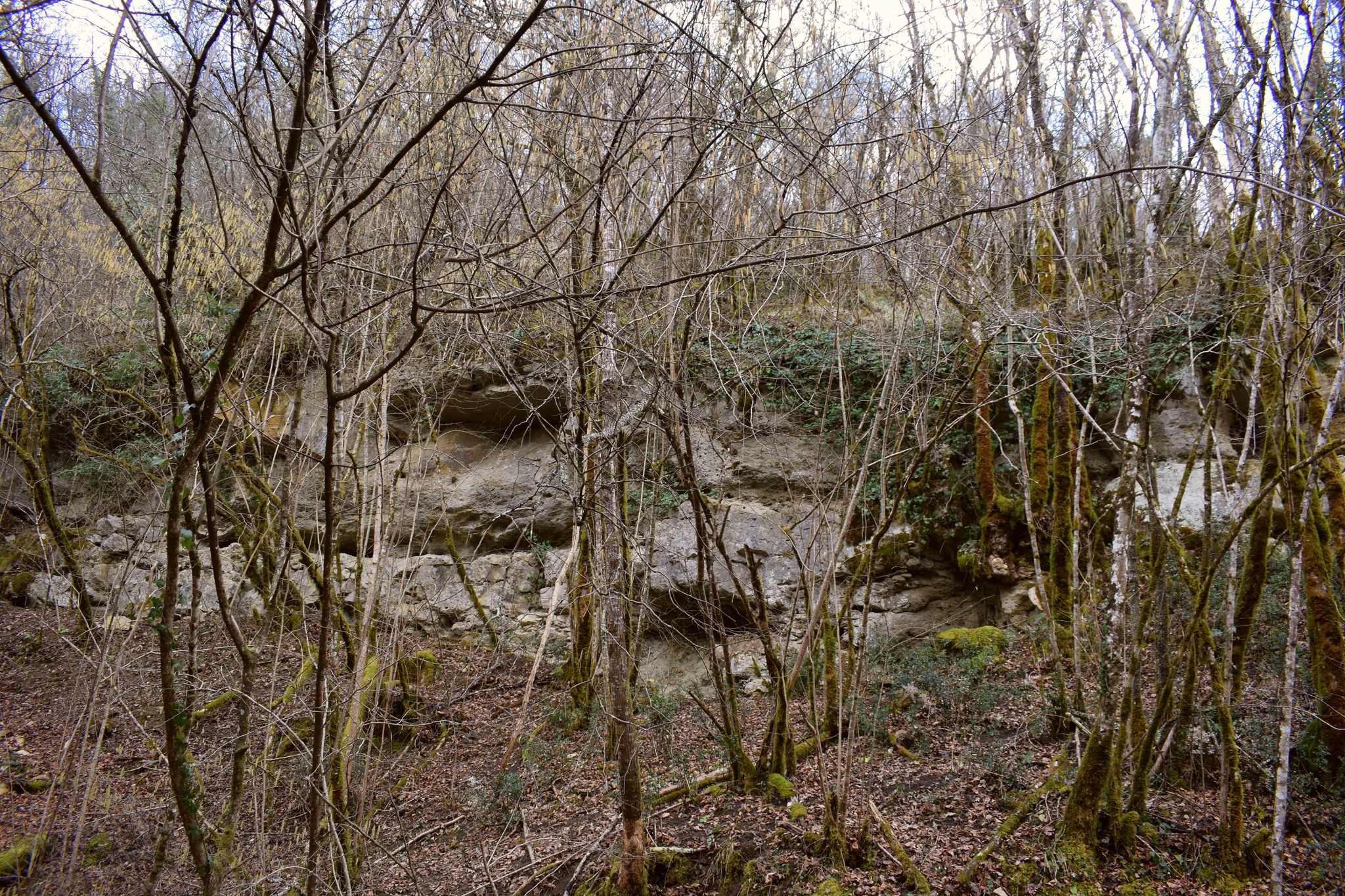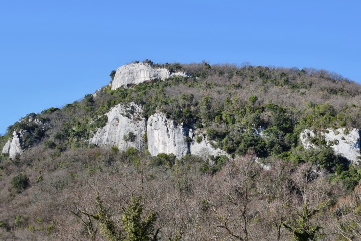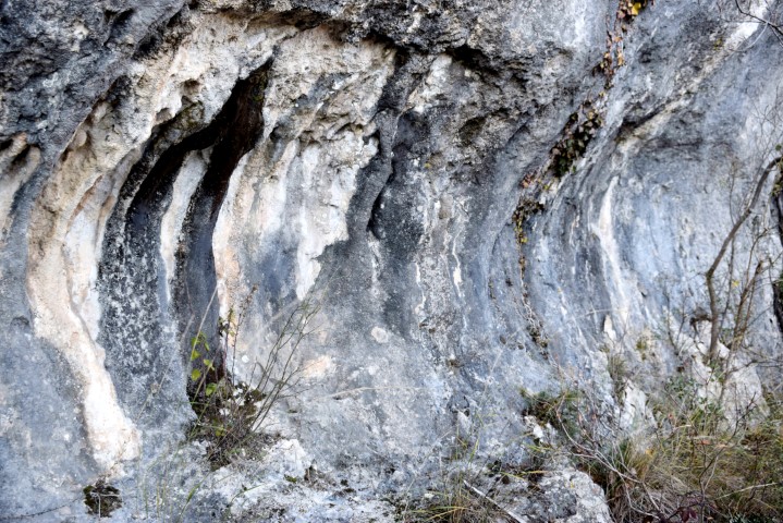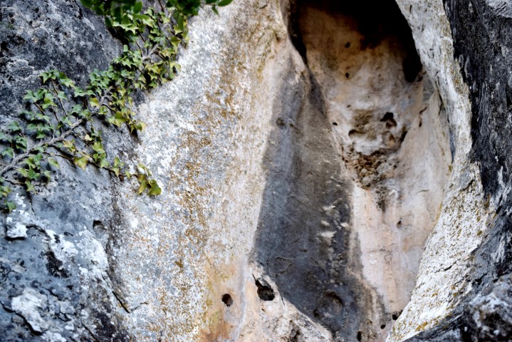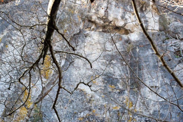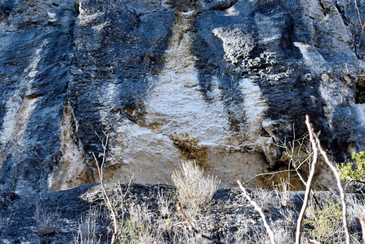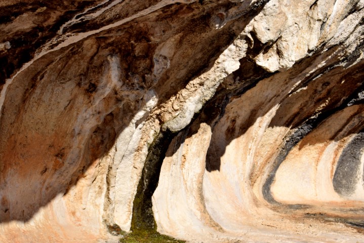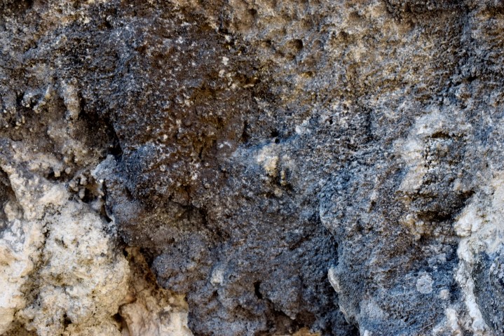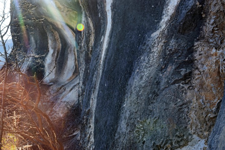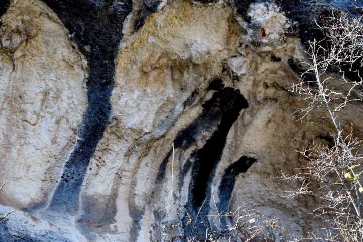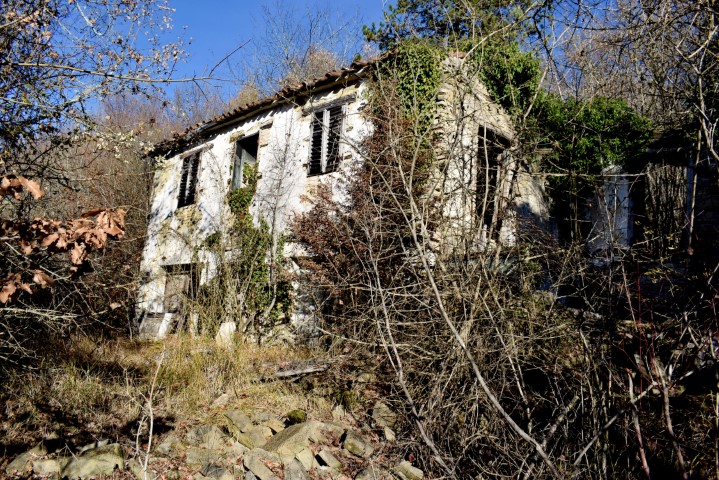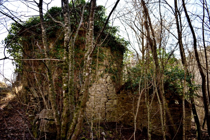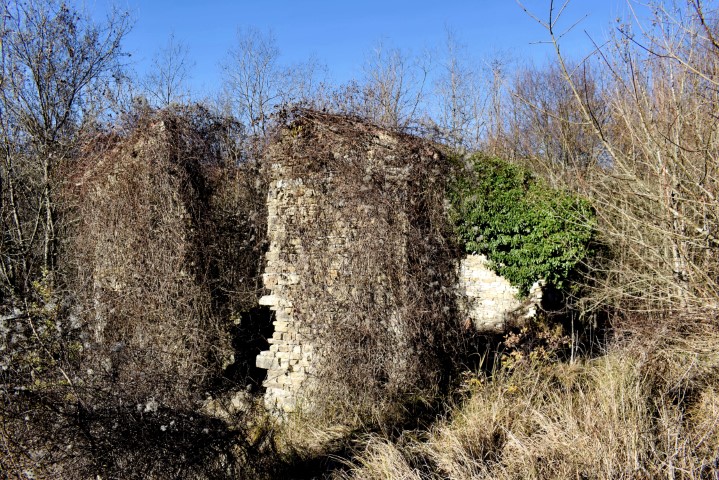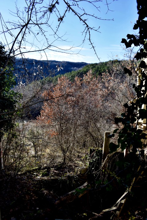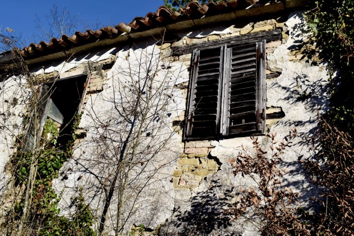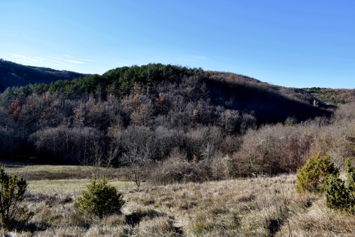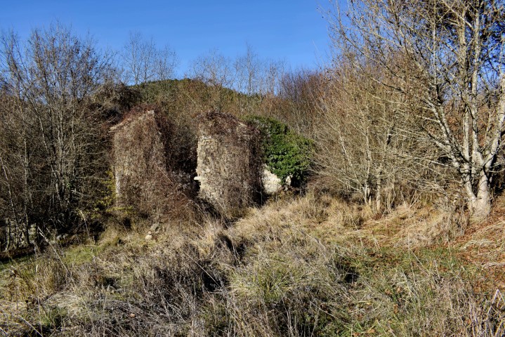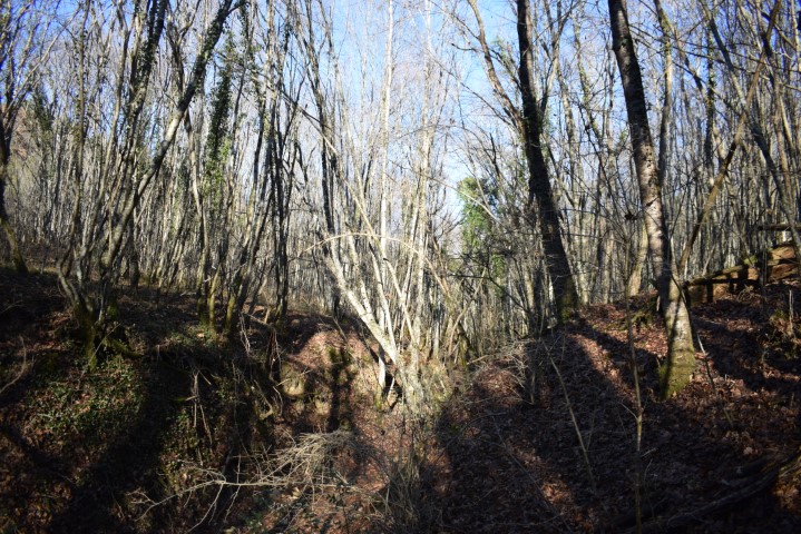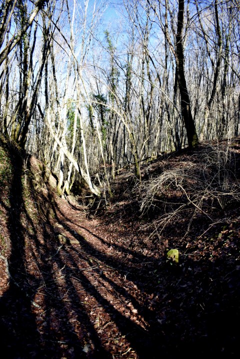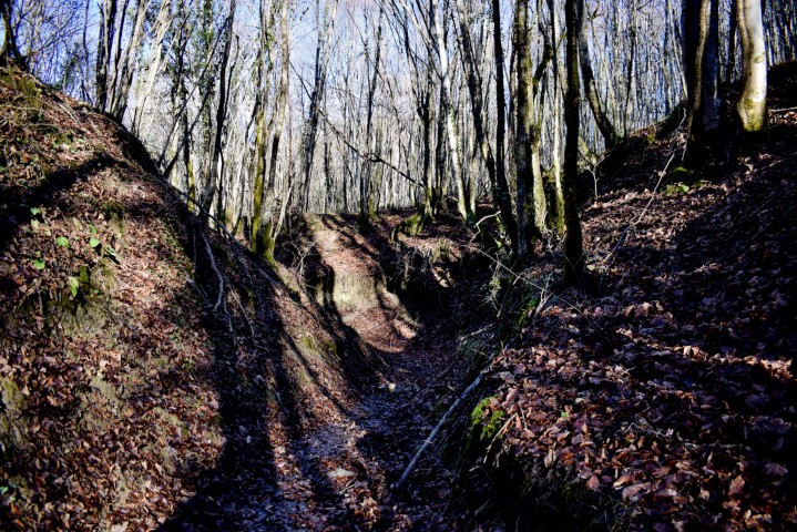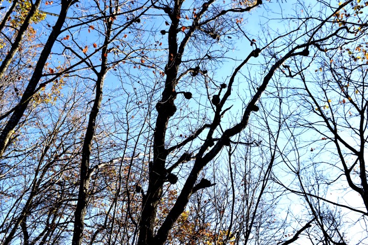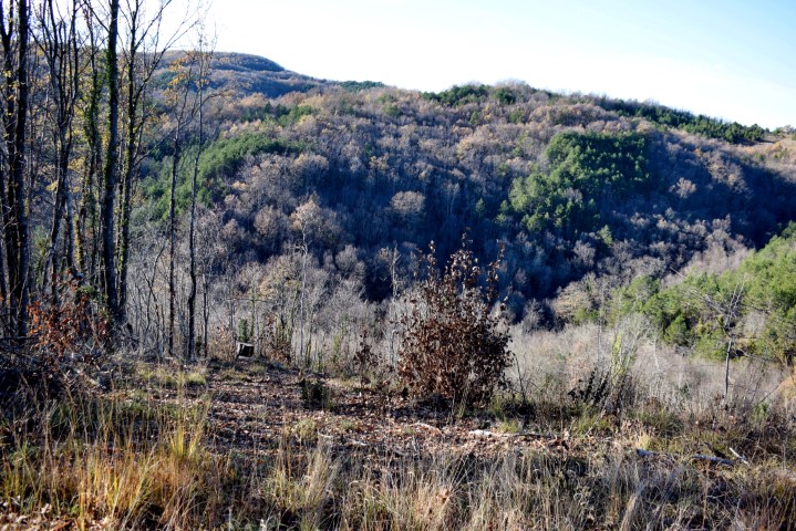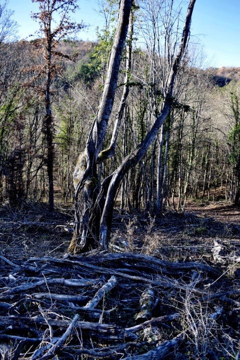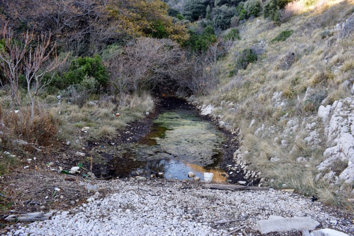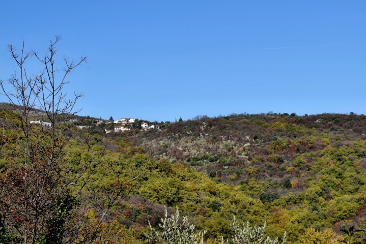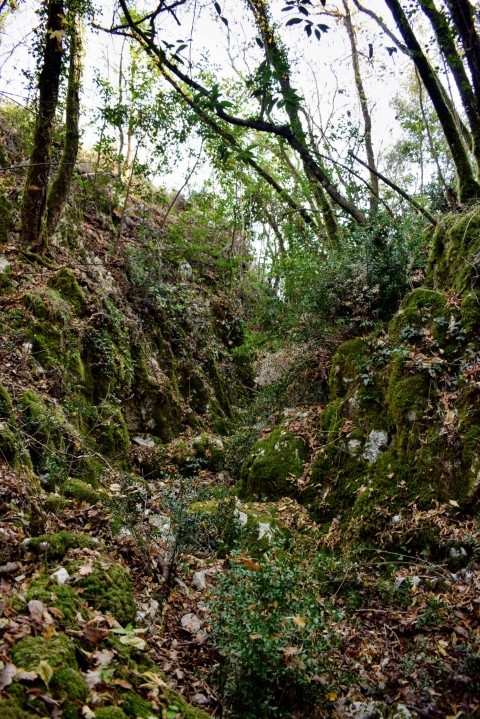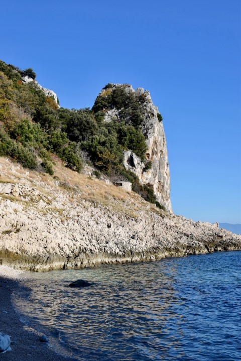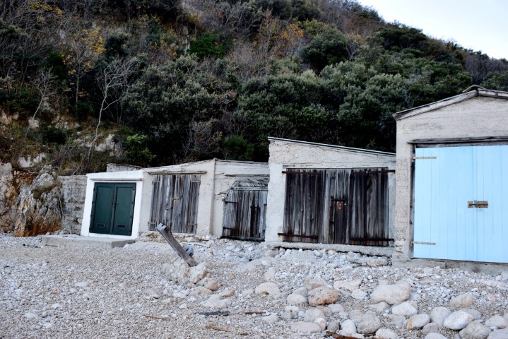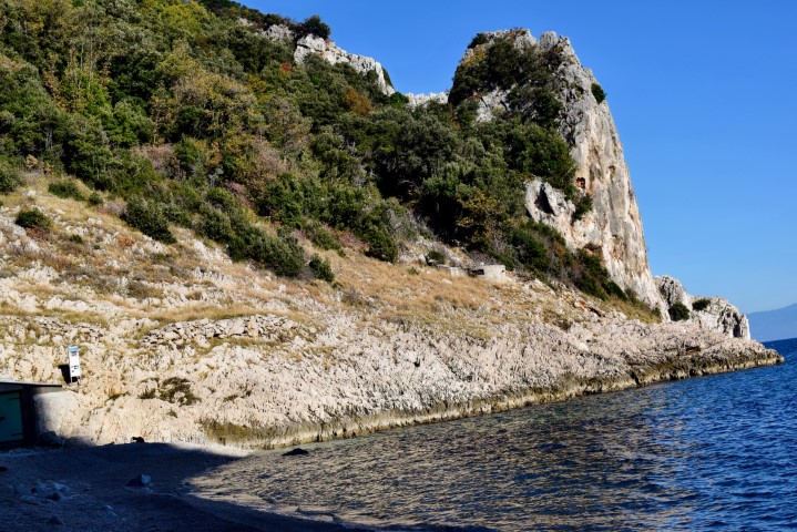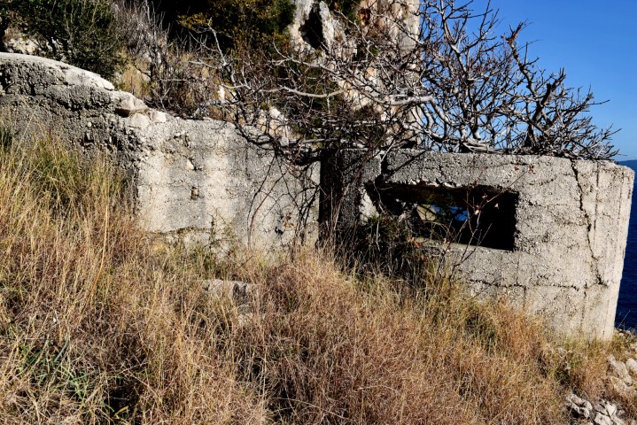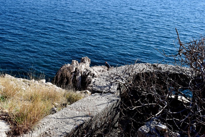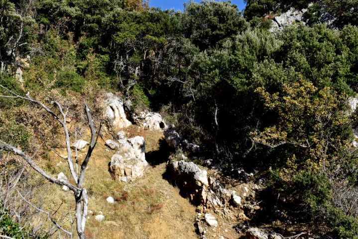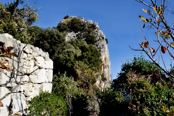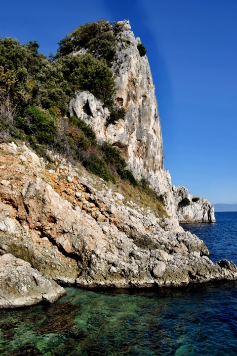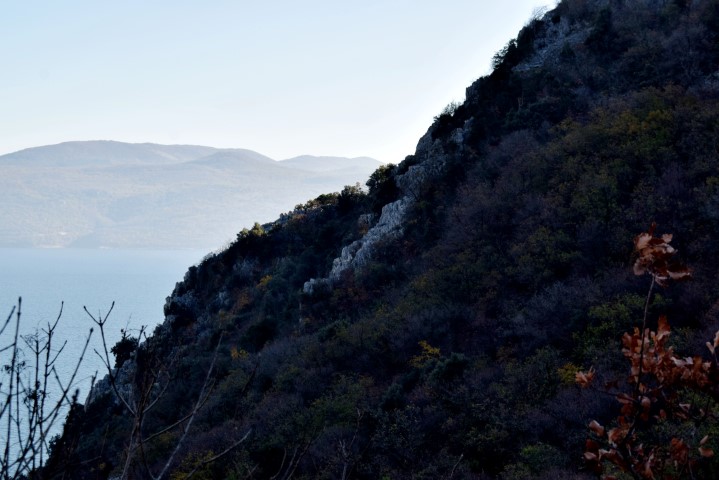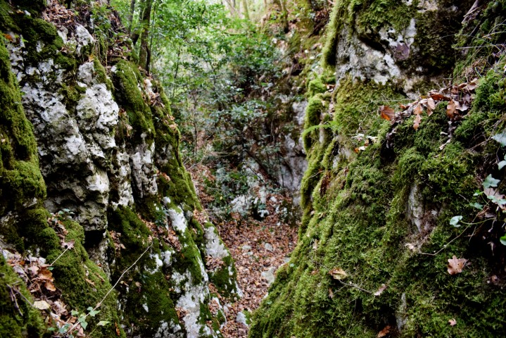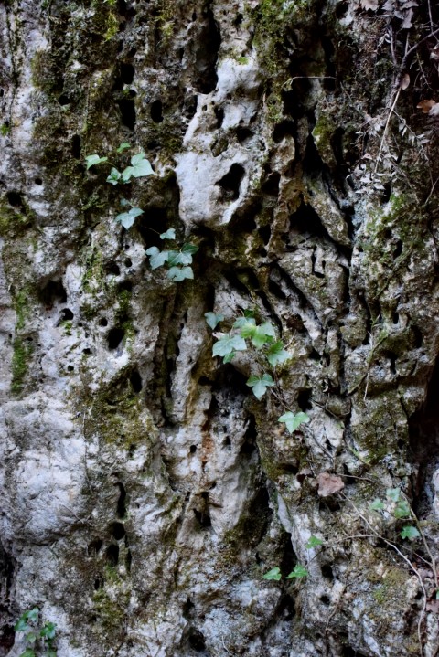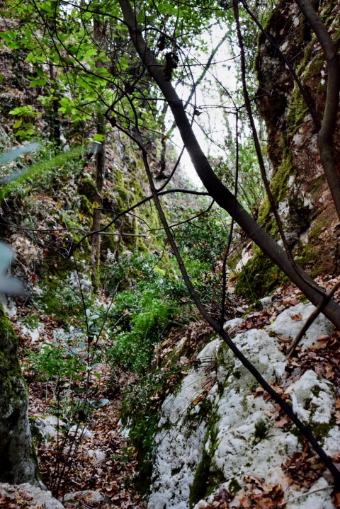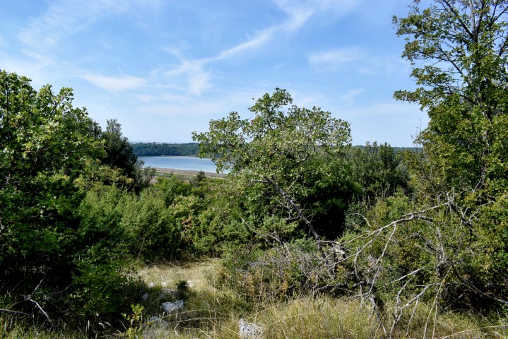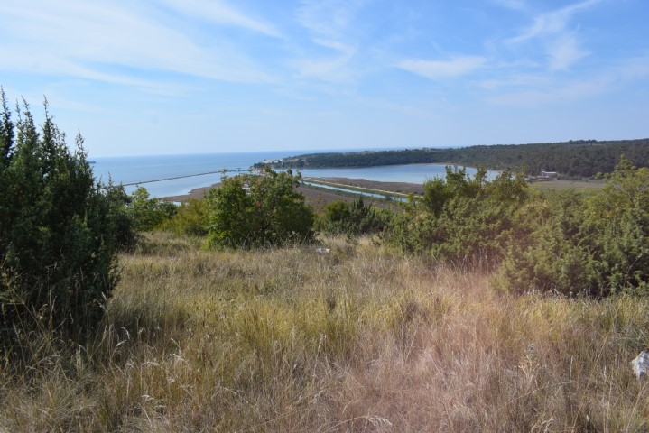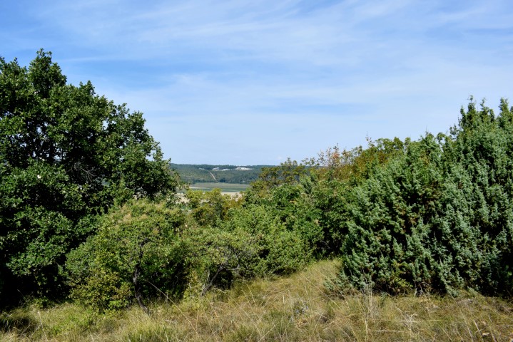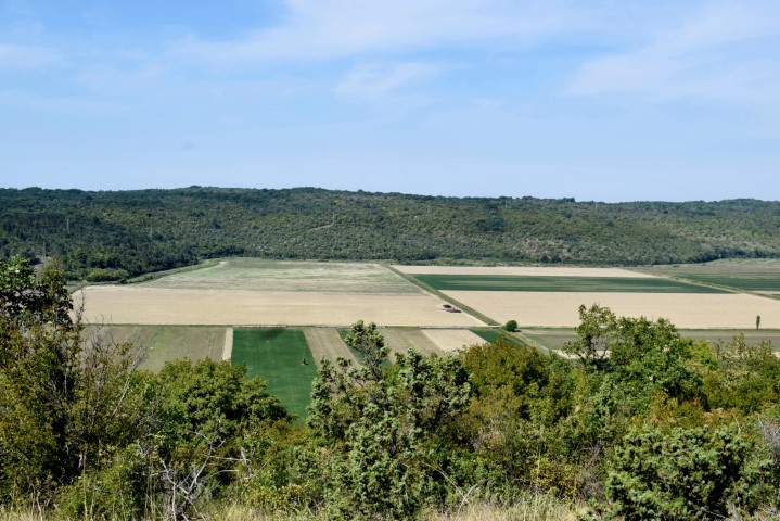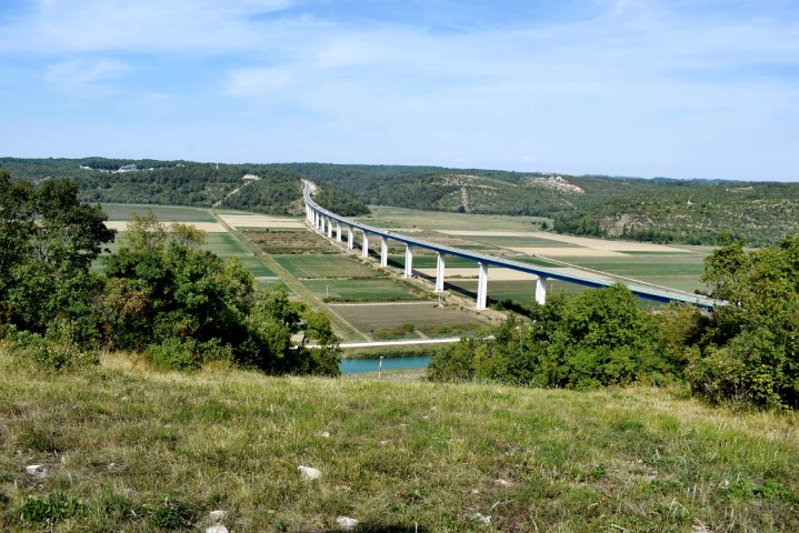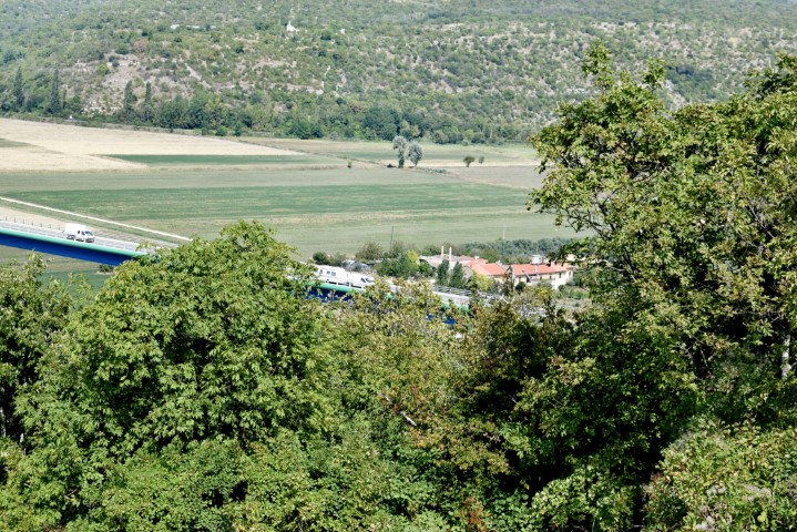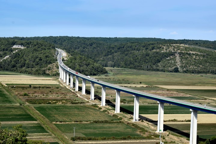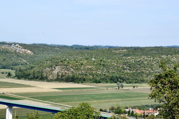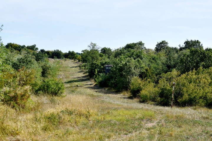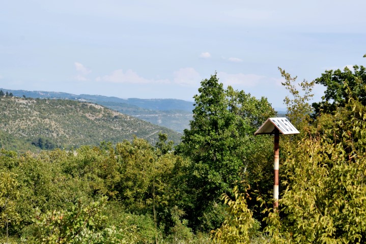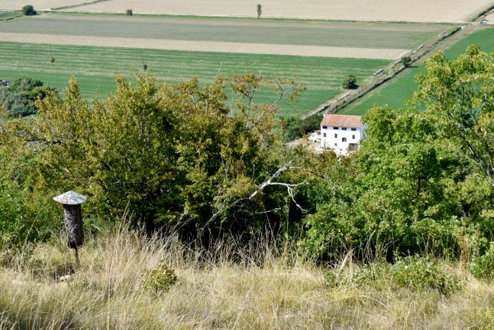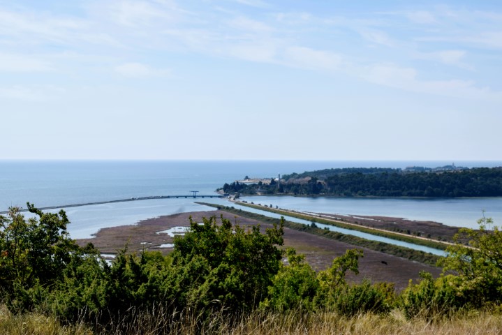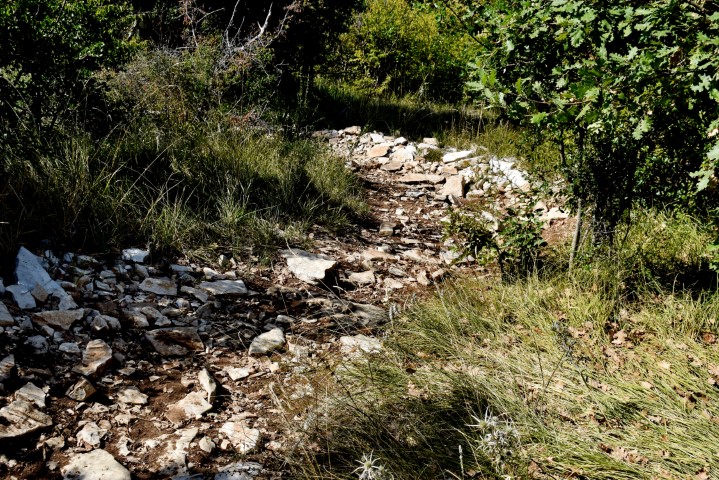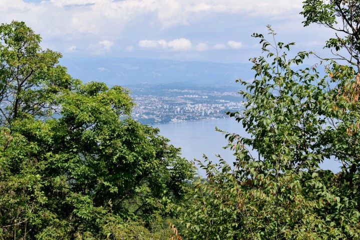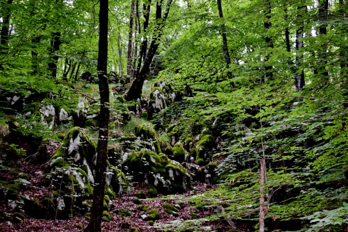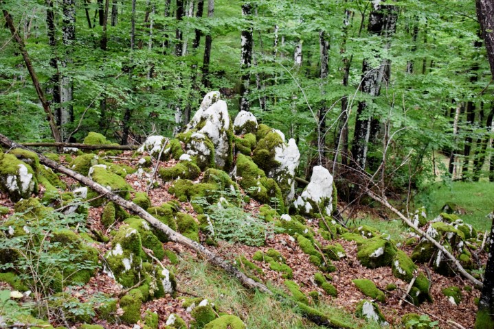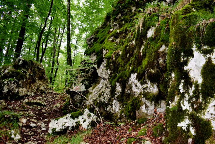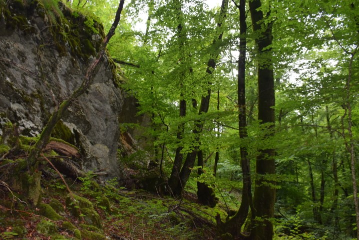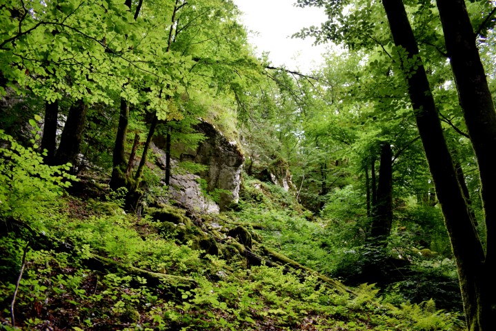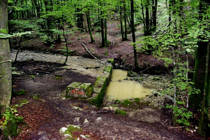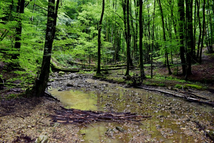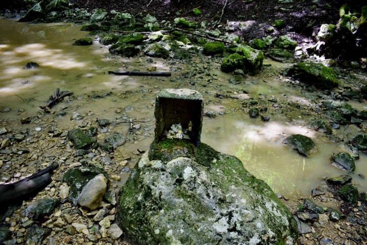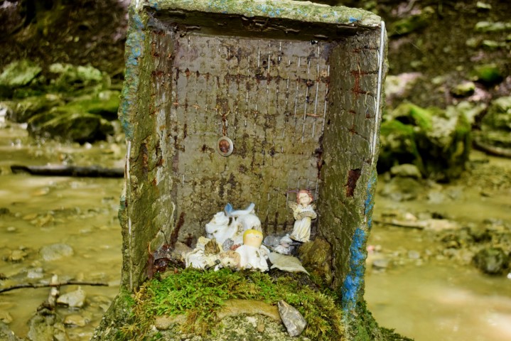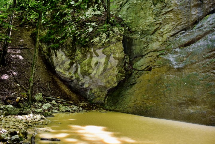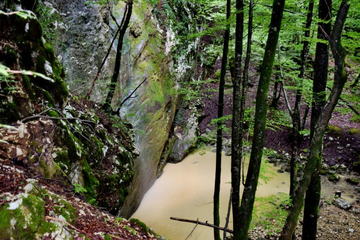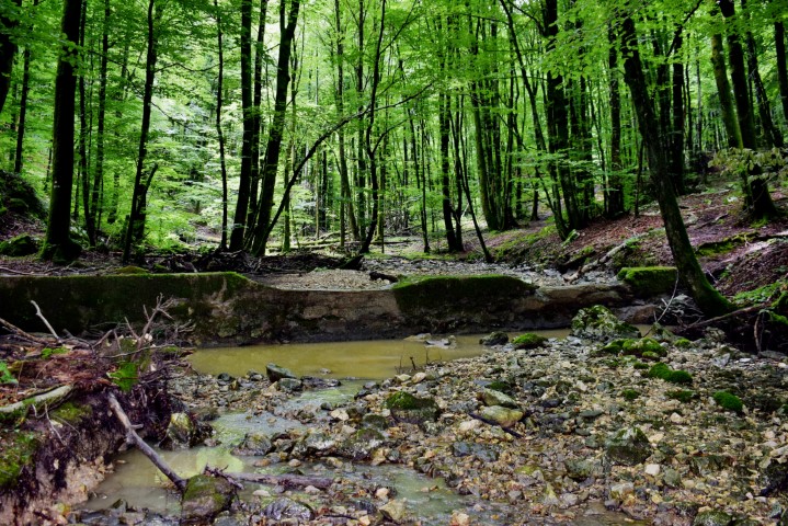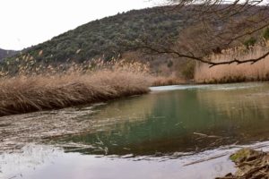
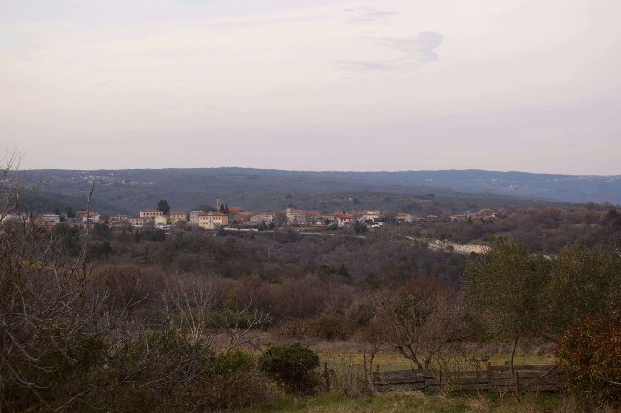
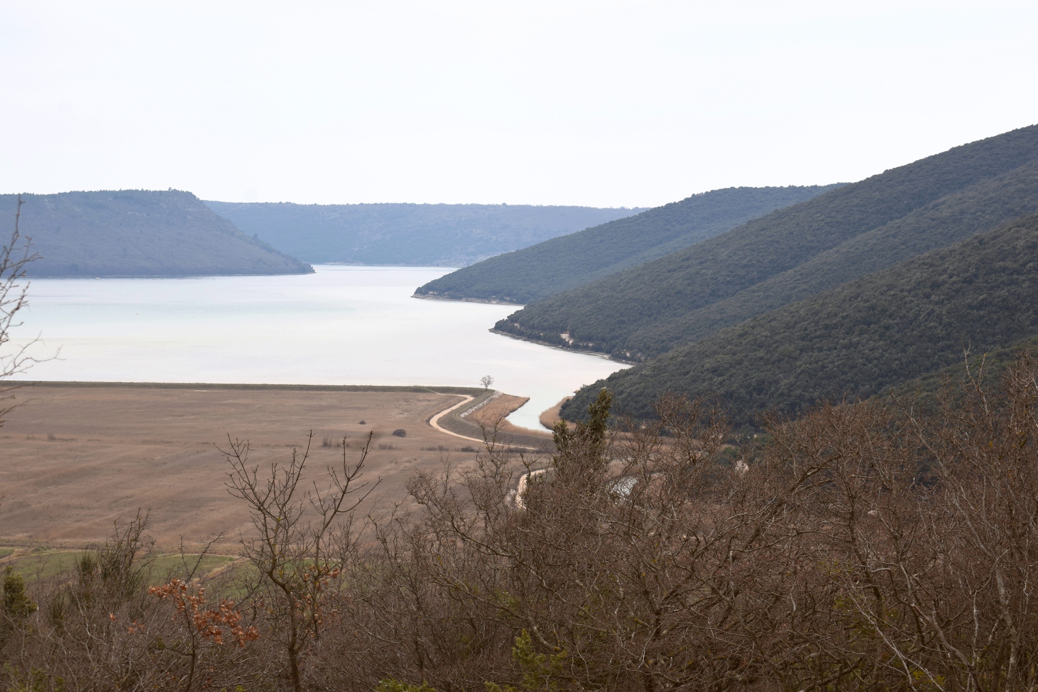
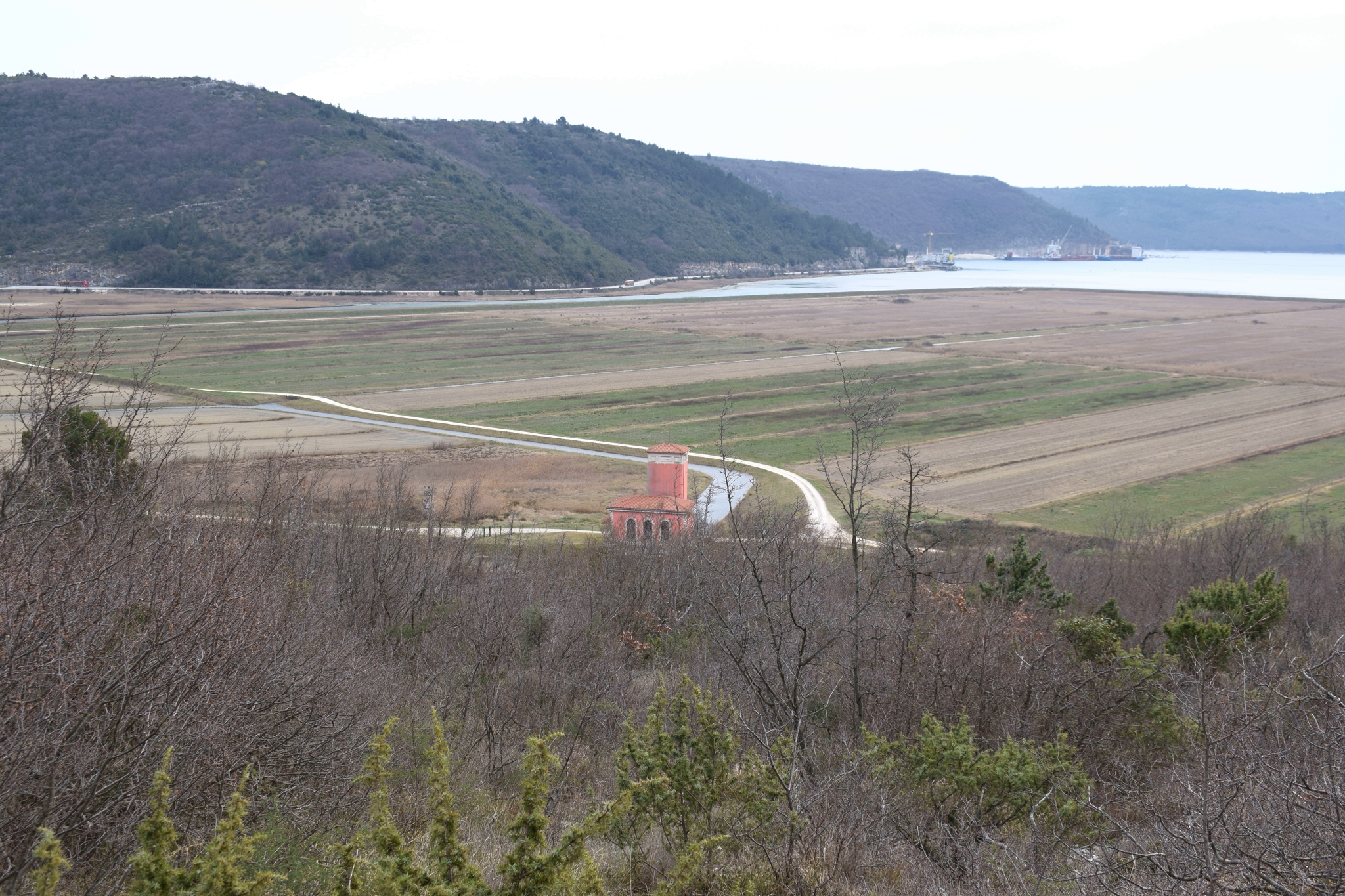
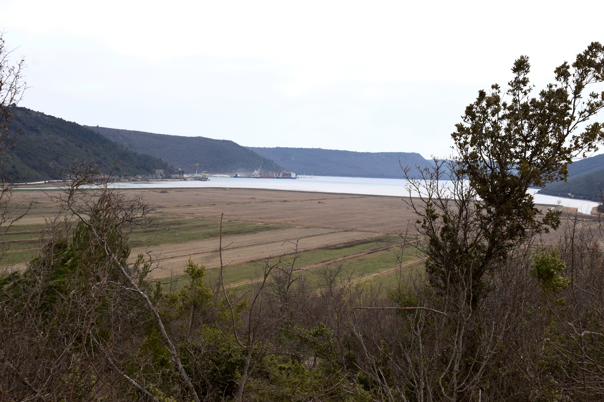
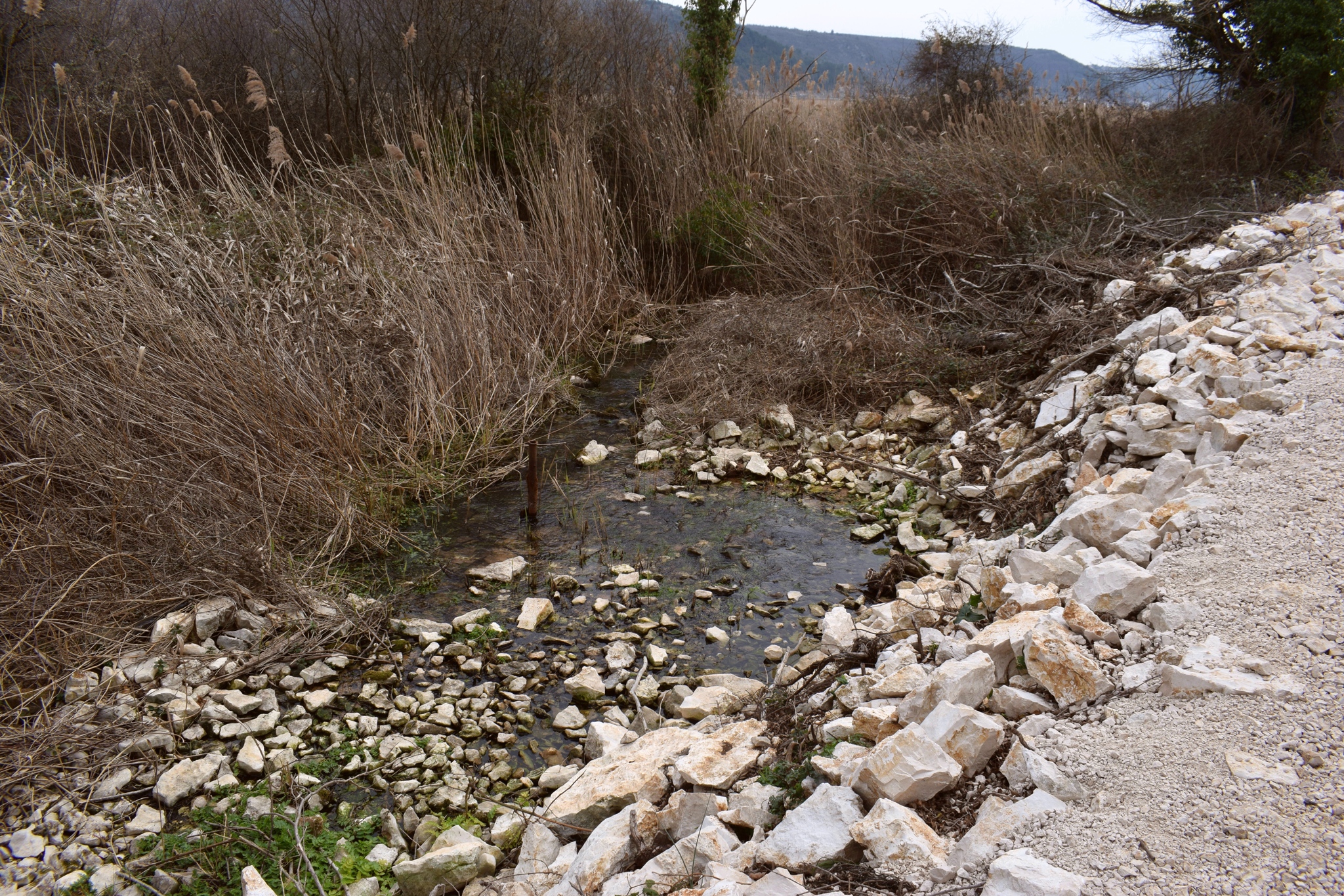
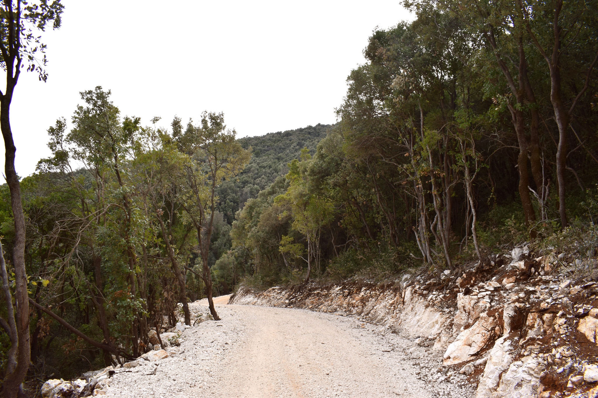
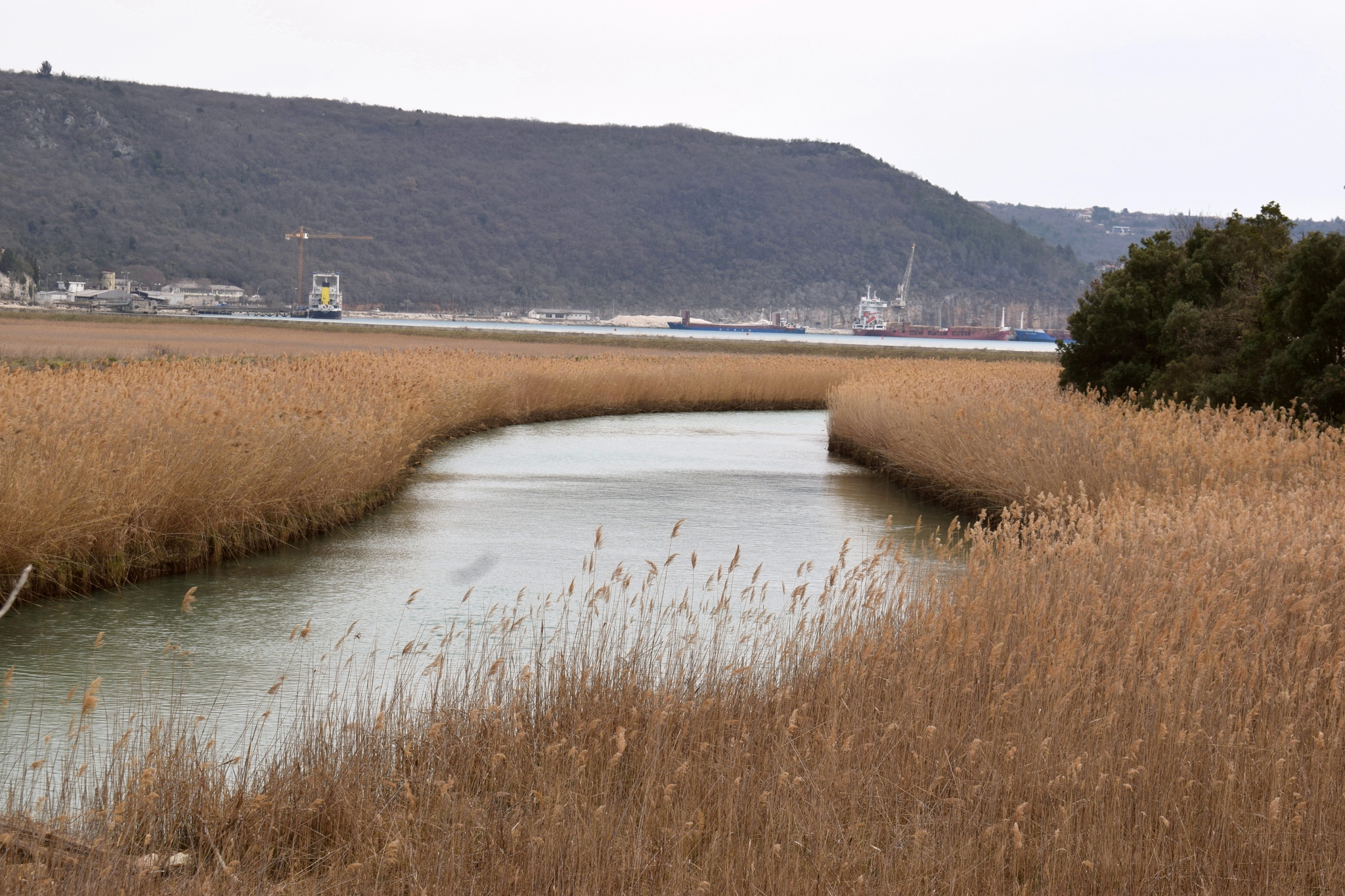
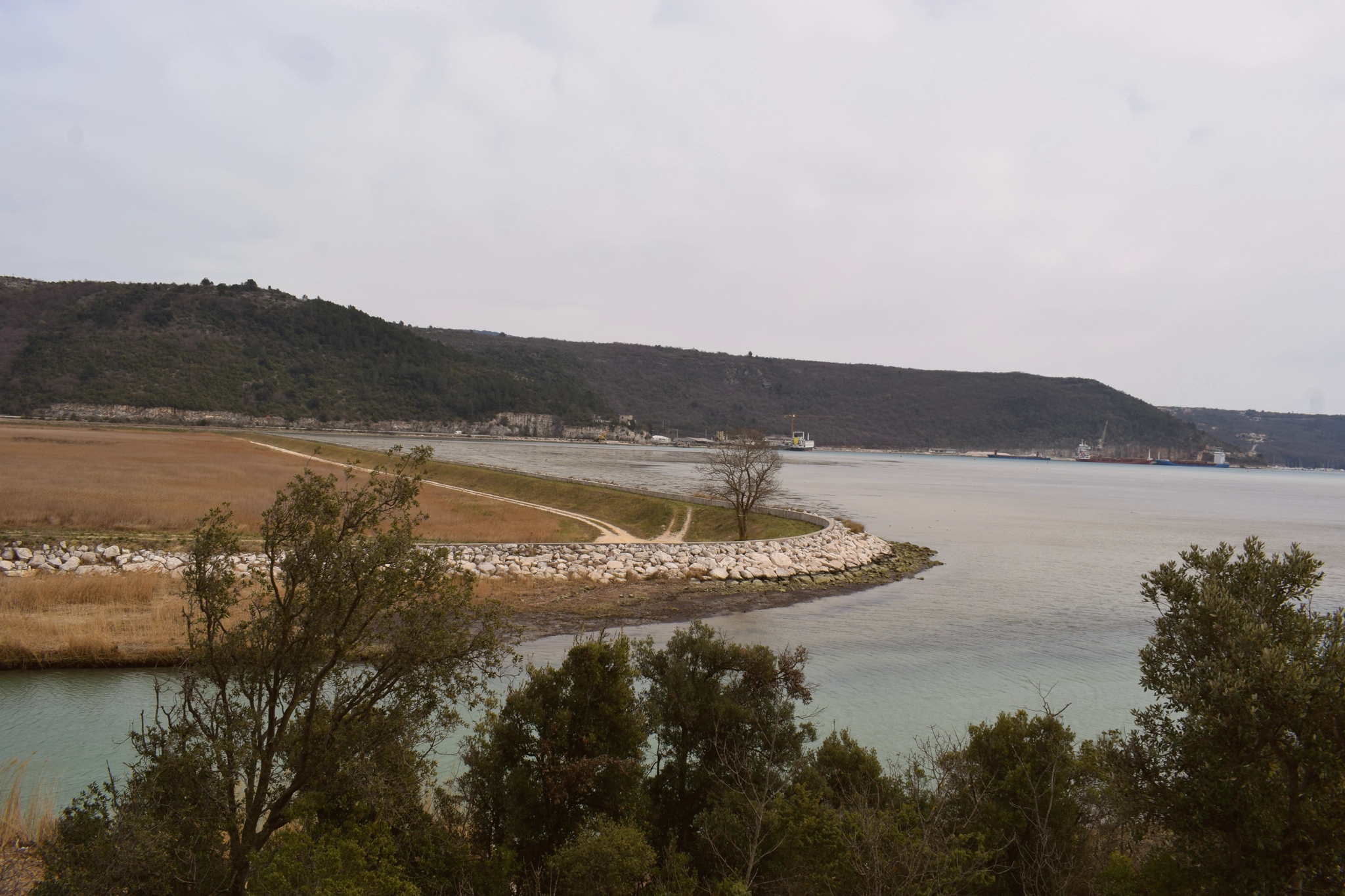
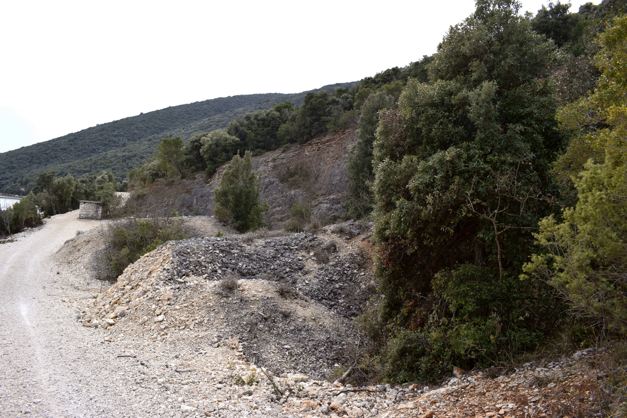
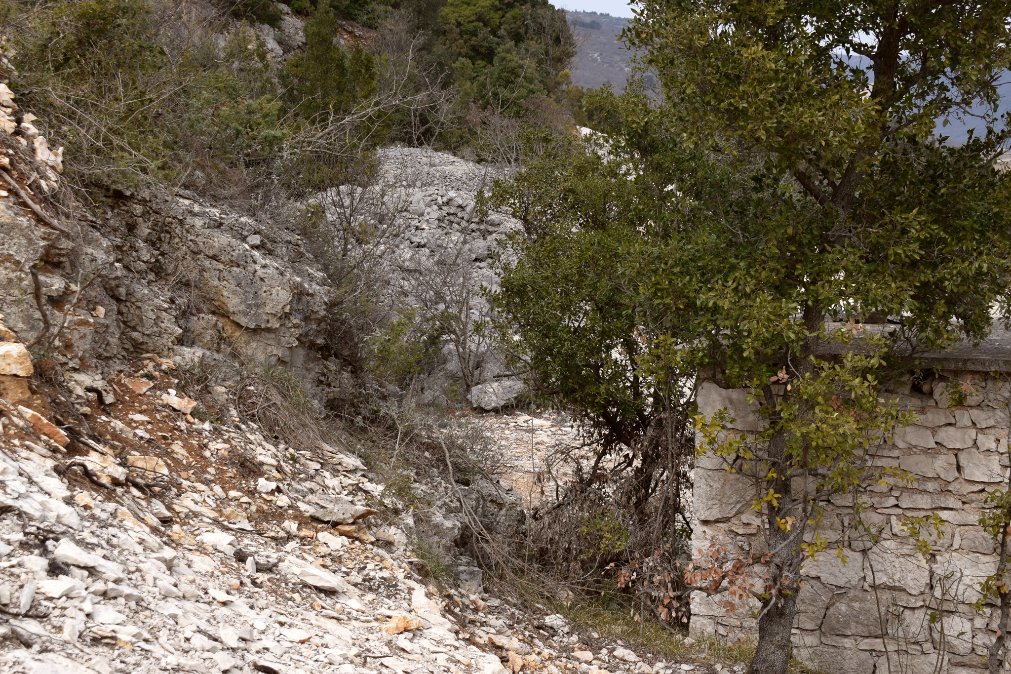
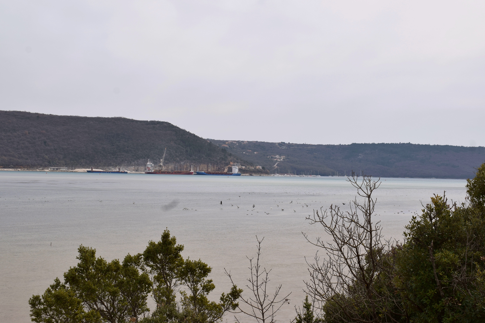
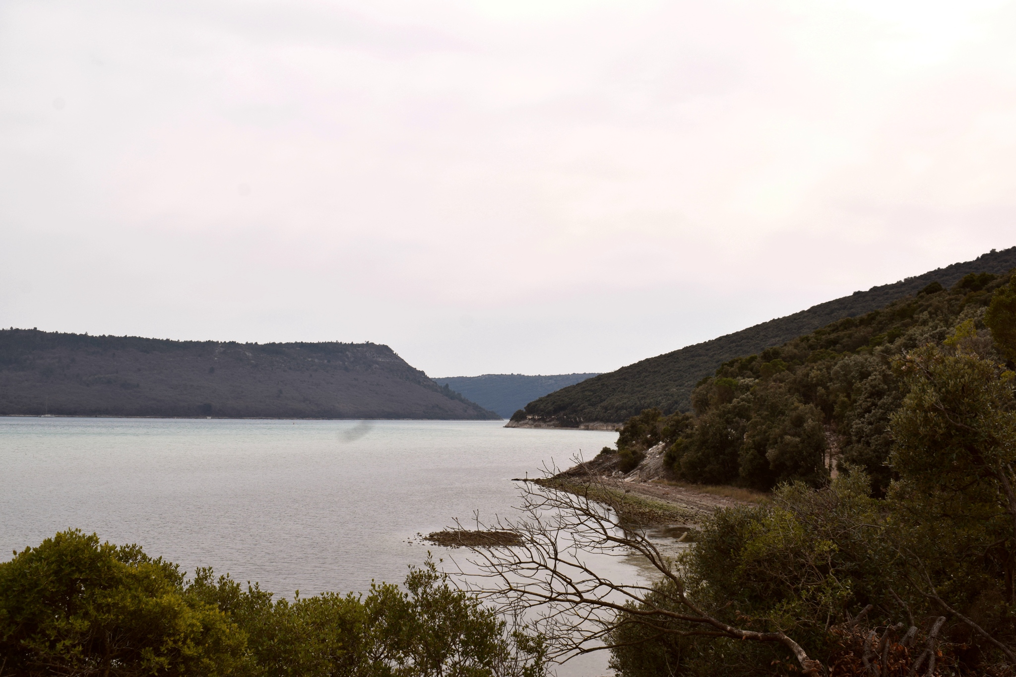
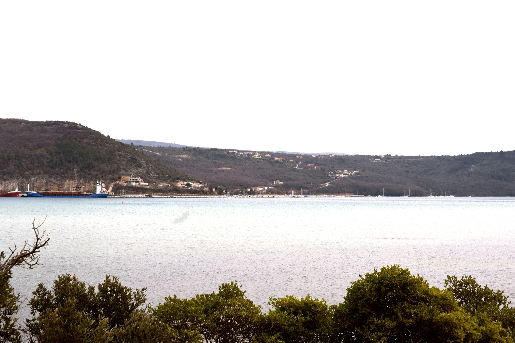
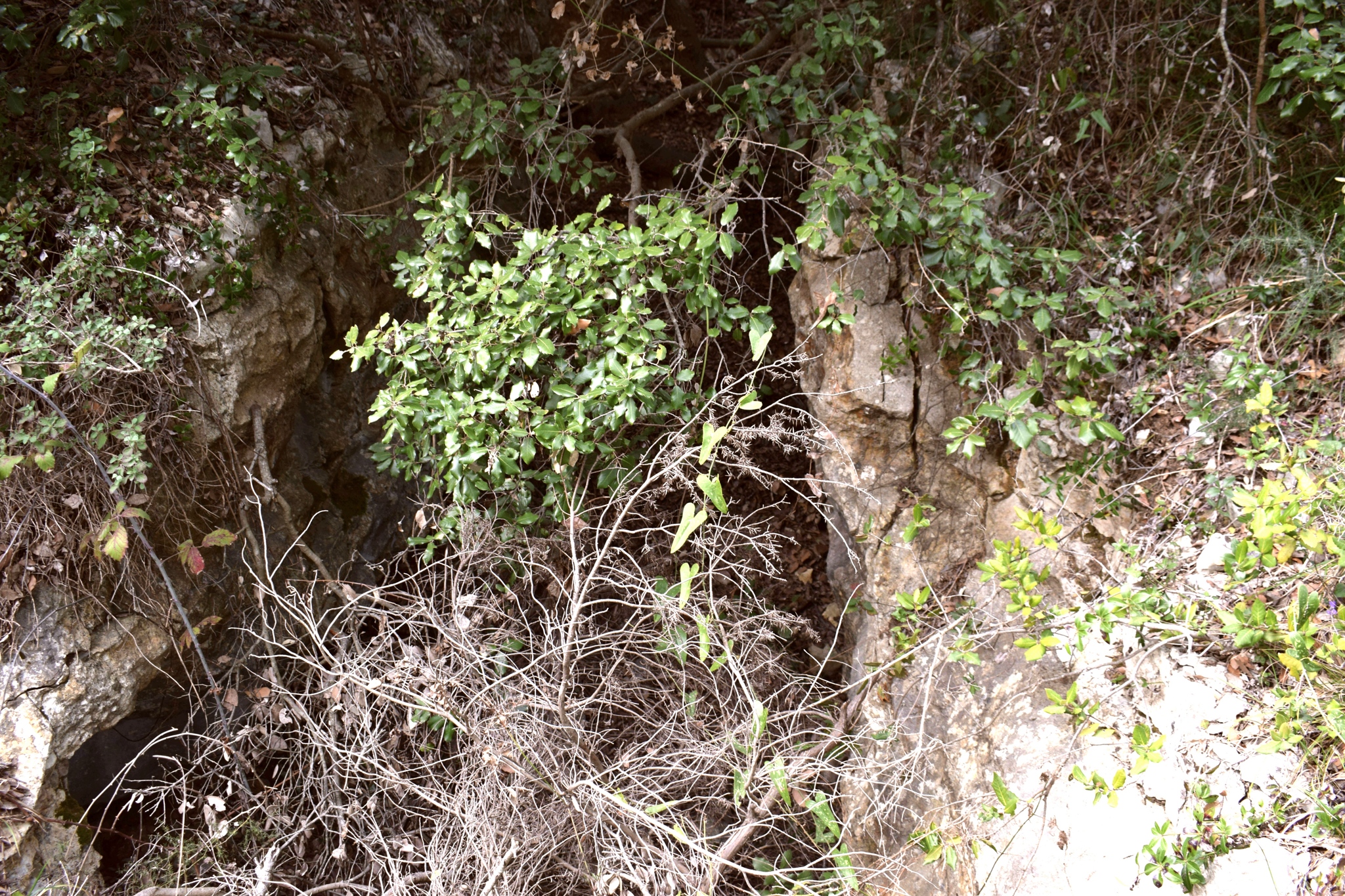
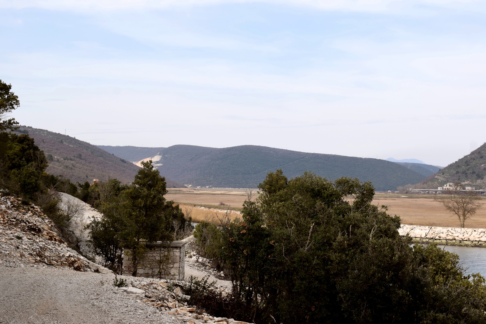
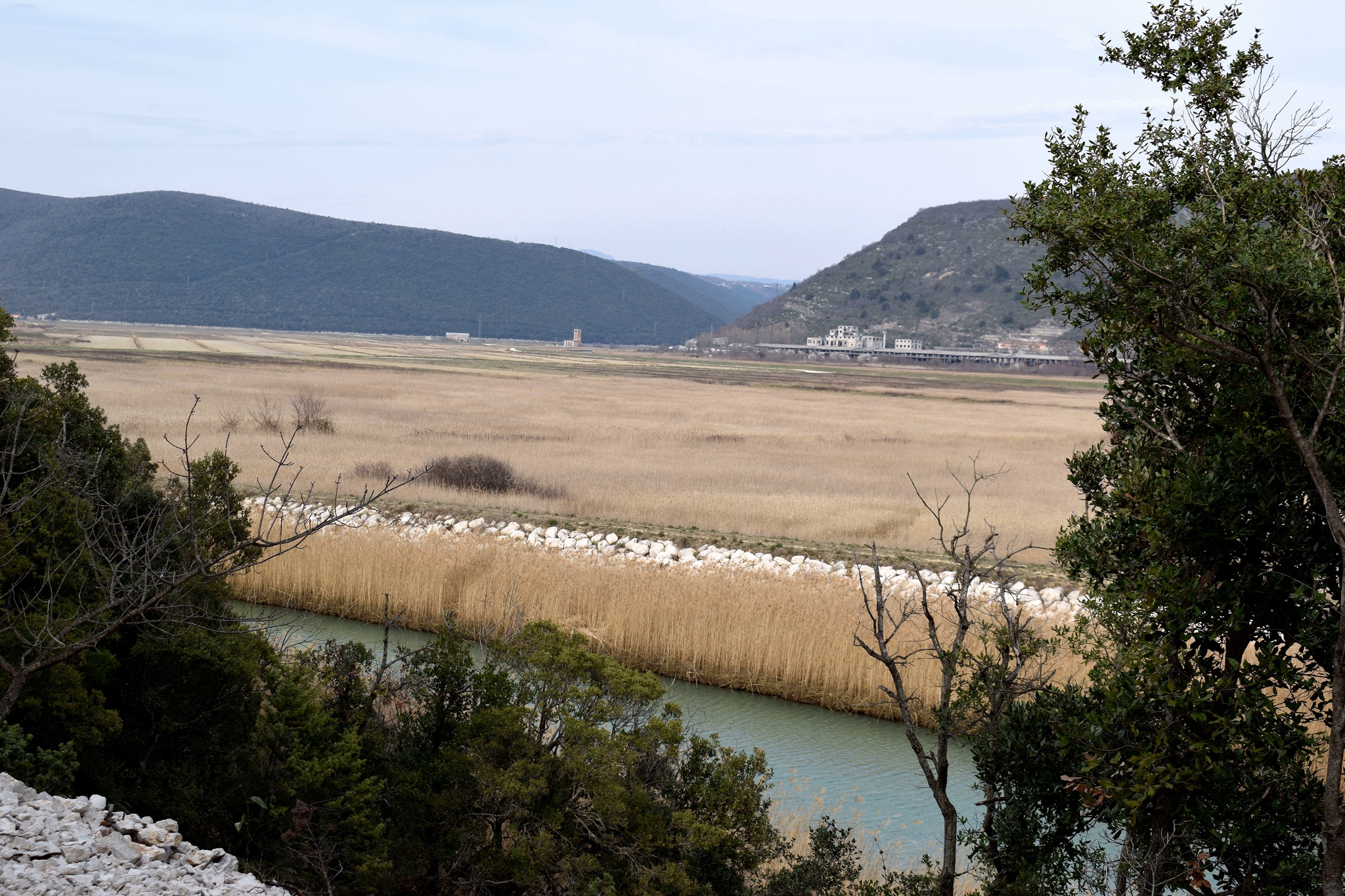
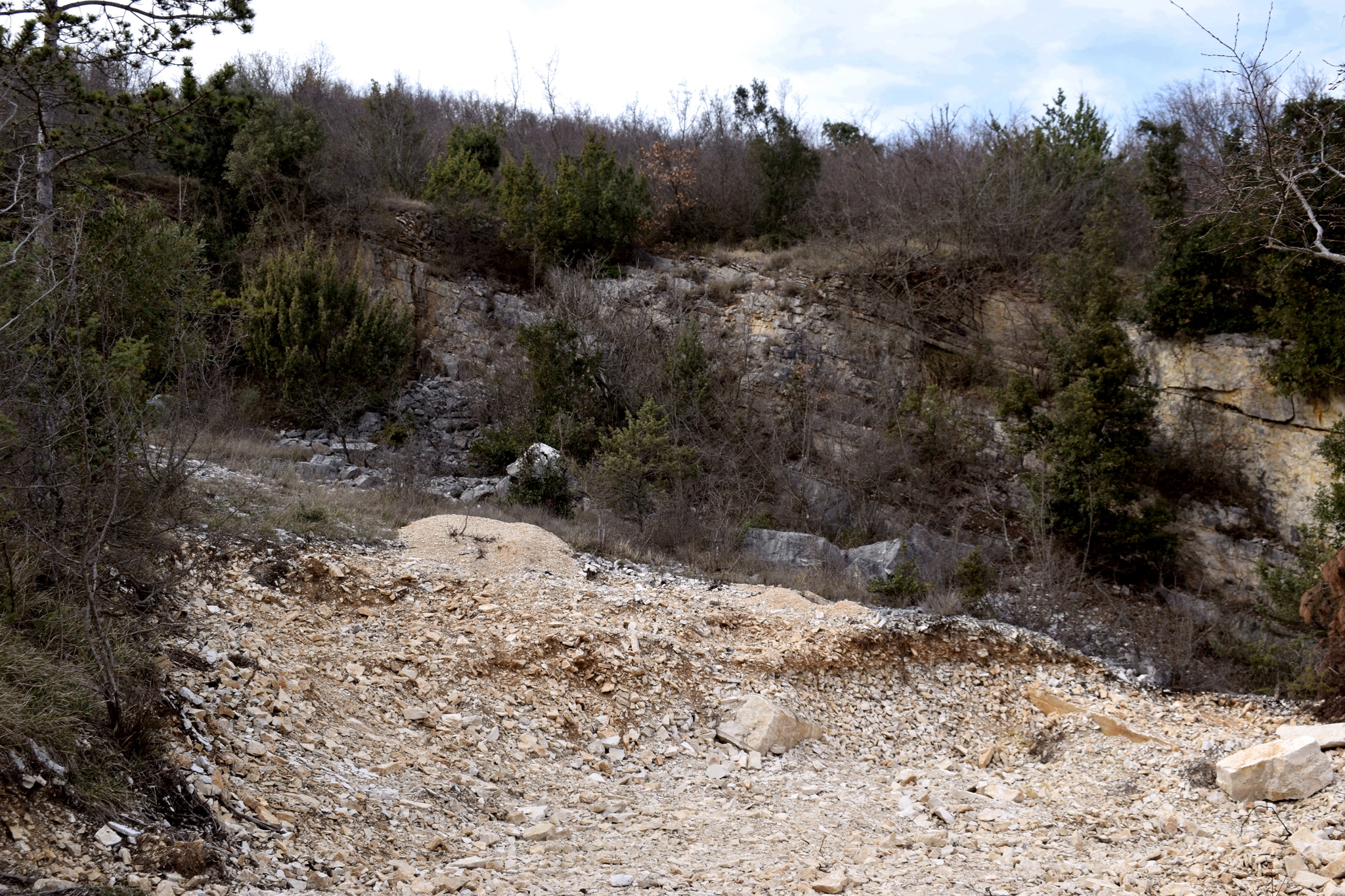
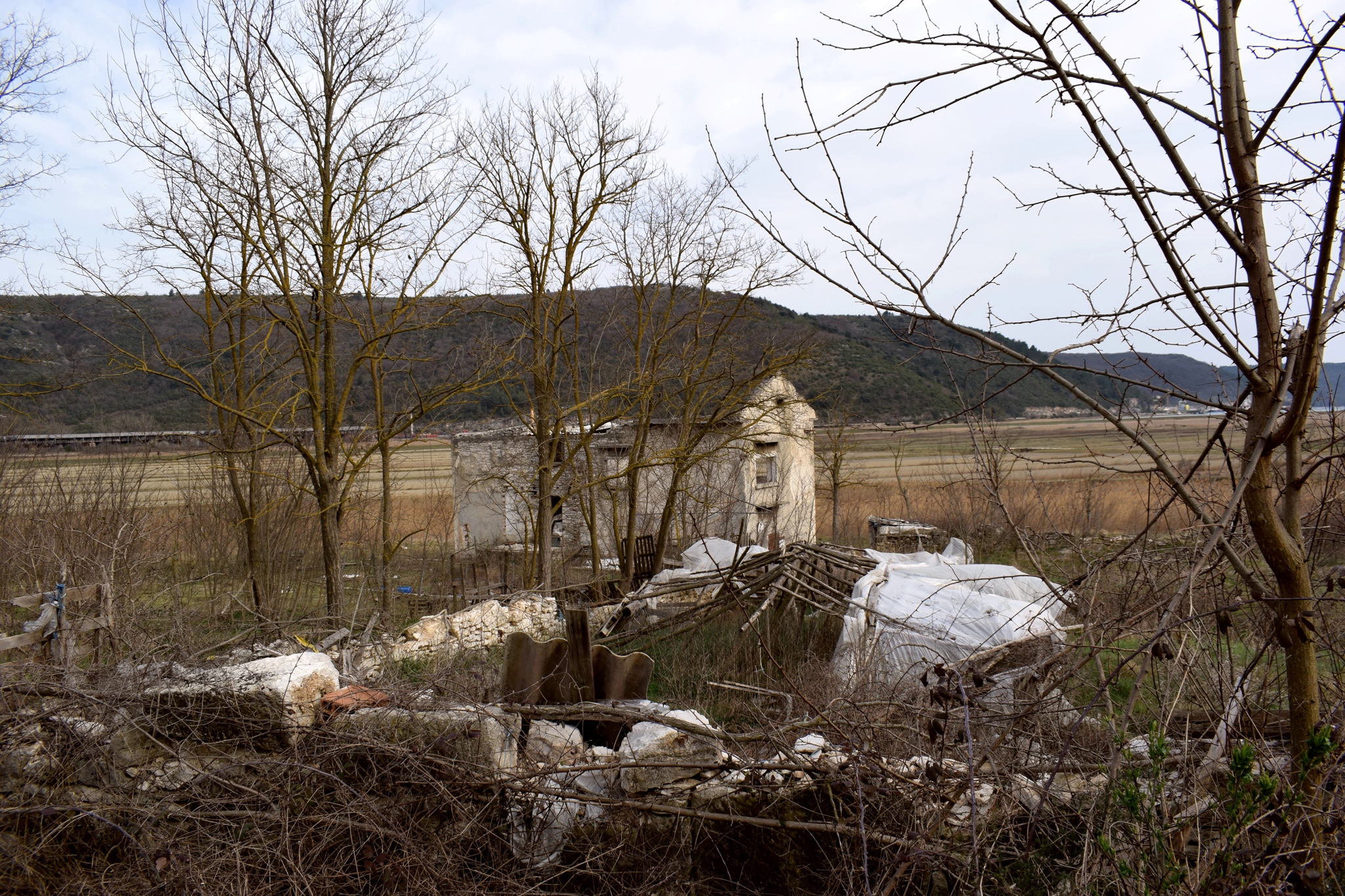
Hiking trail from the villaga Puntera (Barban), at an altitude of 236 meters, to the river Rasa, and from there to the mouth of the Rasa and then along Raksa Bay to the watermills in Blaša Bay. At the foot of the trail is the pumping station Sv. Foska for keeping the valley with fertile fields dry. There was also a bridge here from Pisak to the other side. Near the mouth of the Rasa is another abandoned quarry. From this western side of the bay with a length of about 12 km and a width of about 1 km is a beautiful view of the town of Trget and the harbor Bršica. The length of the walk is 9.5 km.


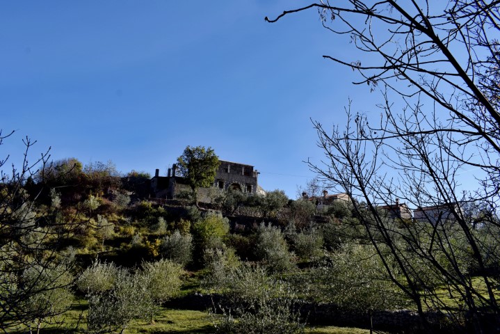
Name: Hiking trail from Puntera to the Blaz Bay.
Place: Puntura – (Barban).
Coordinates: Start Puntera 45.05096 N – 14.02672 E, Pisak 45.04187 N -14.04012 E, Blasa Bay 45.00031 N – 14.03767 E.