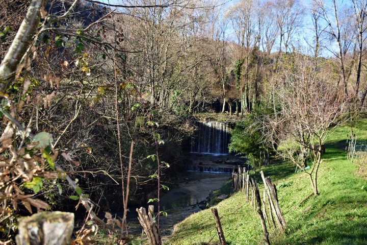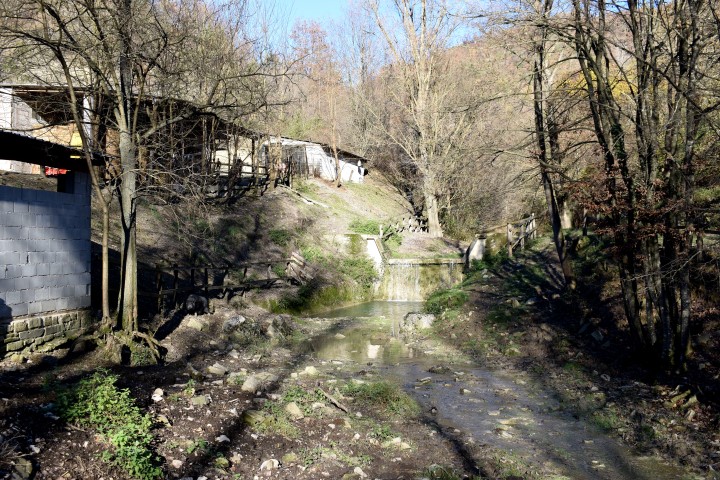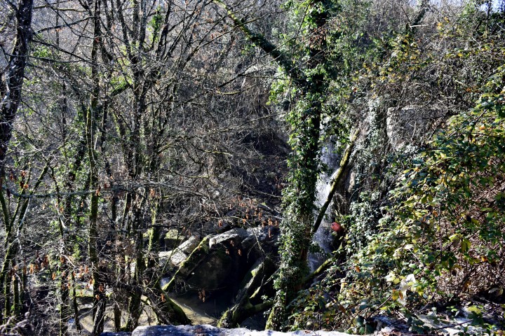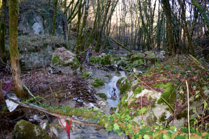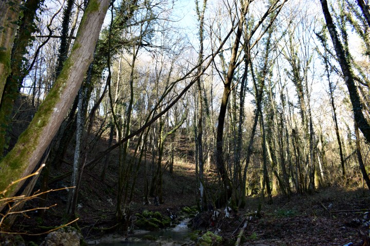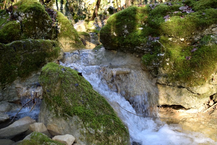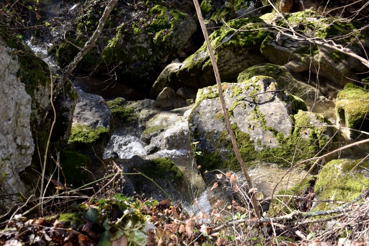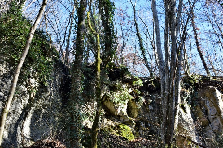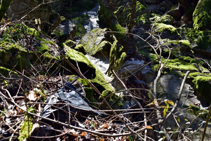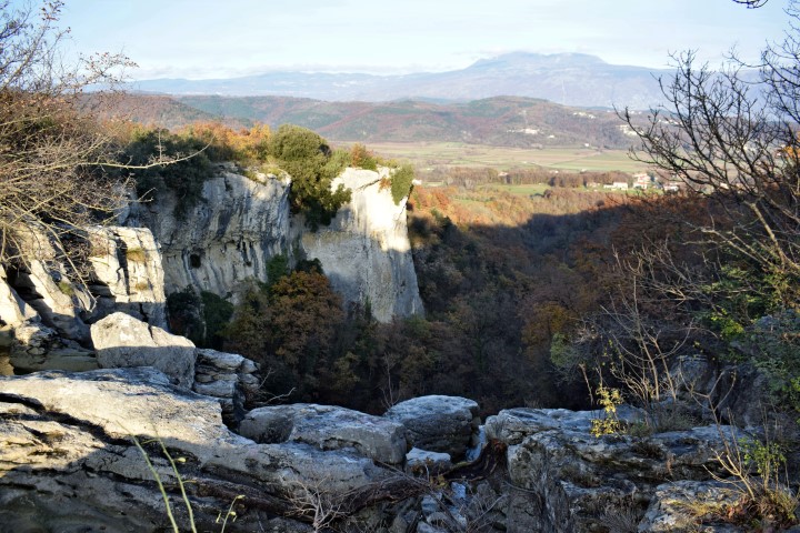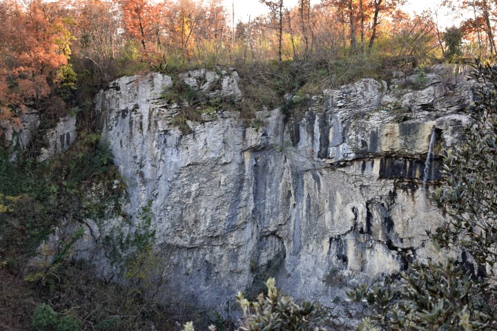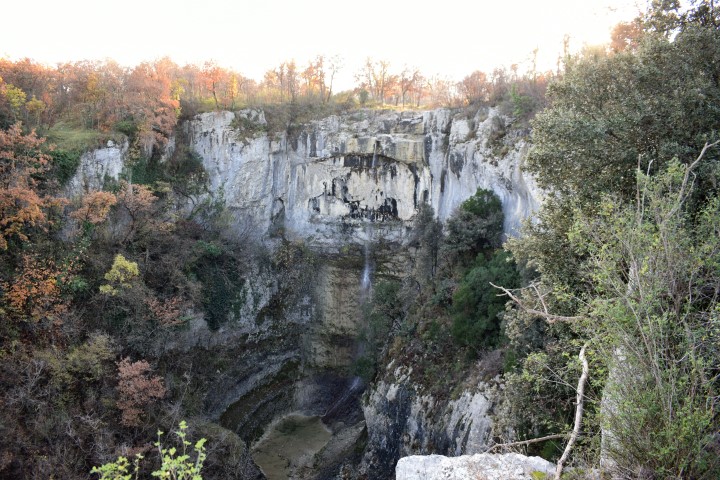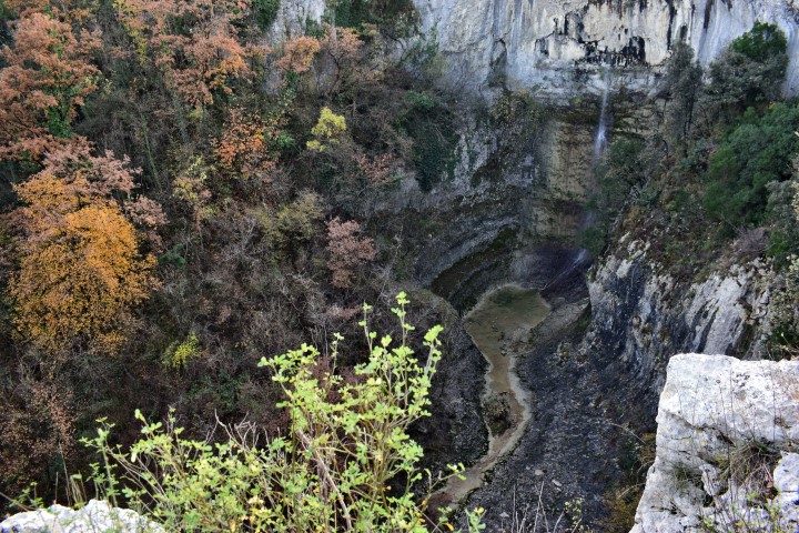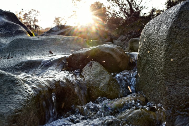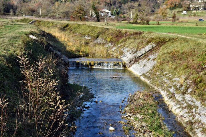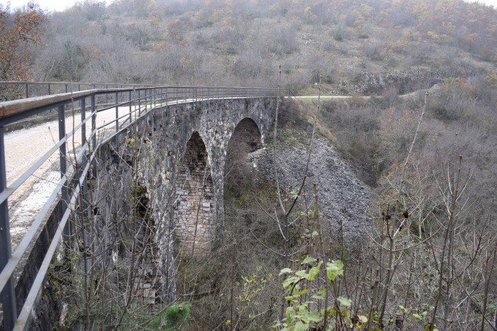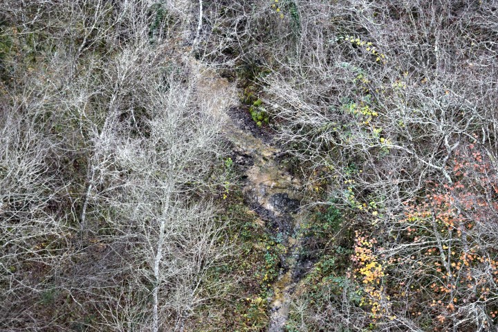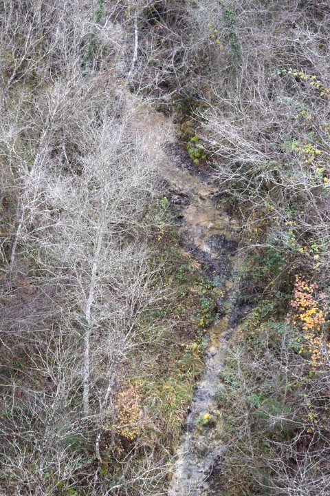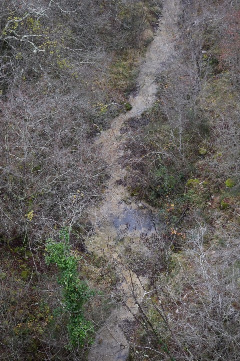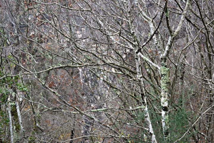
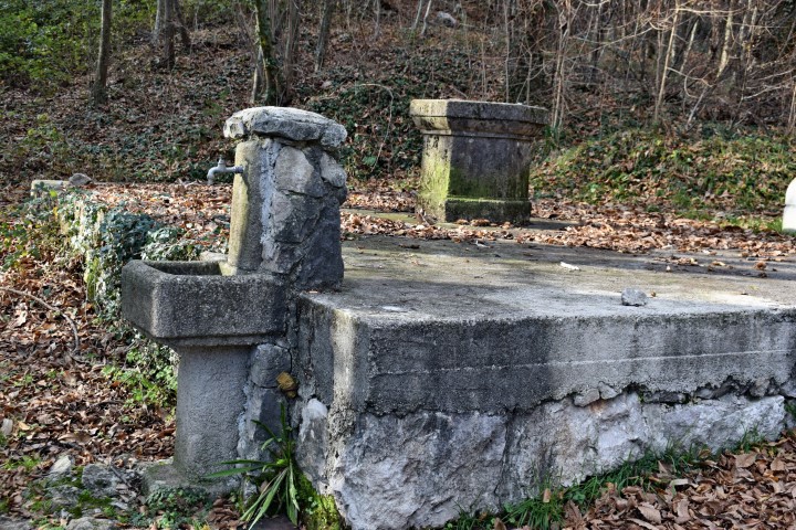


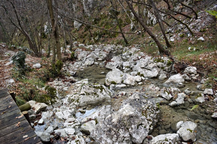

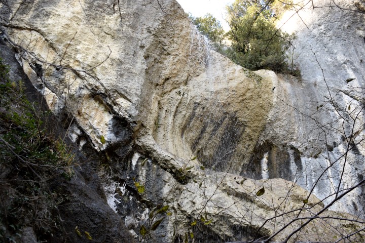

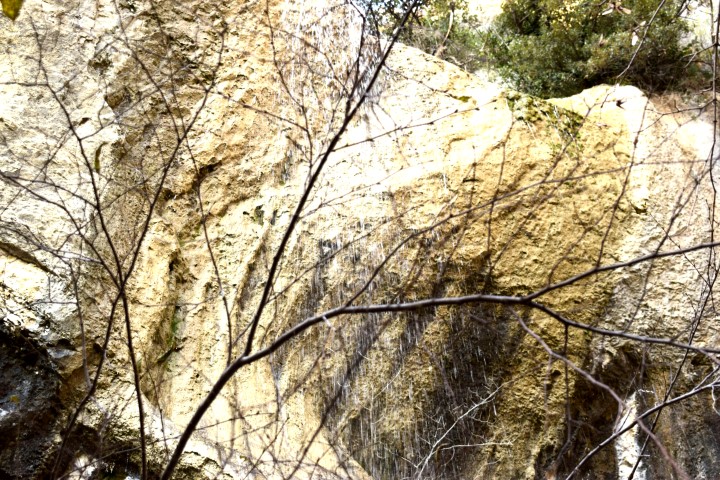


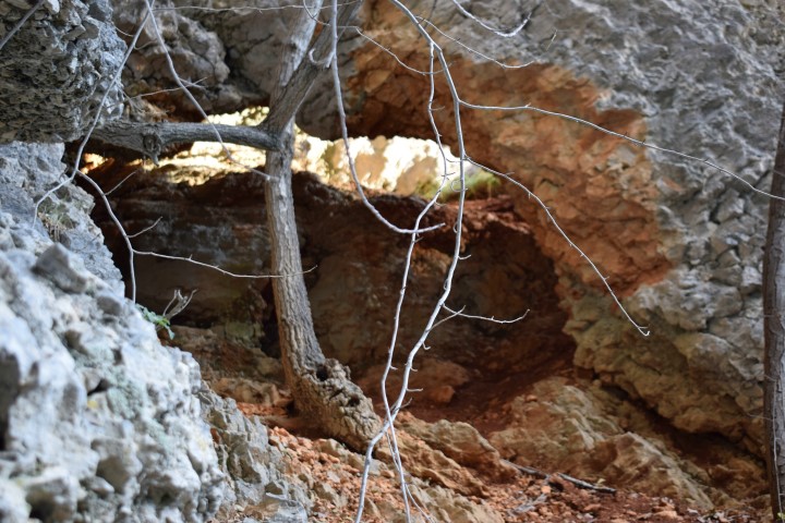


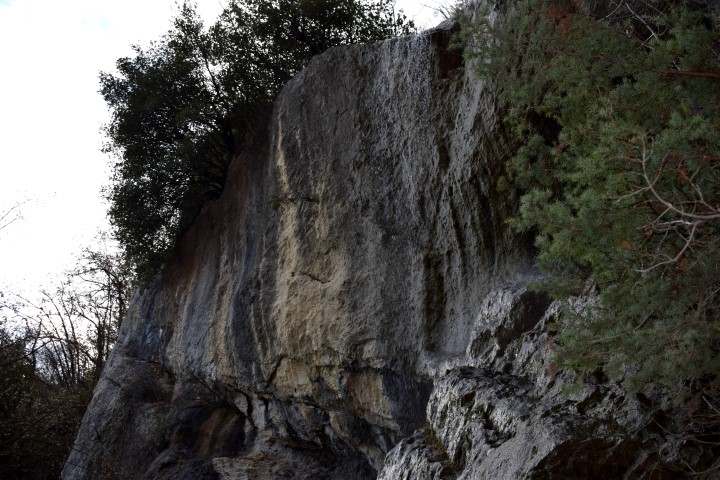
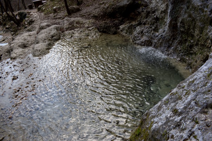
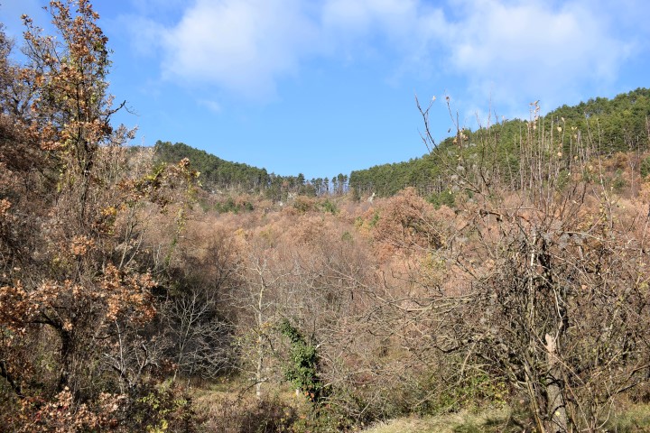

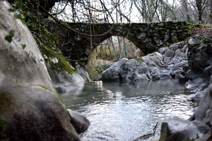
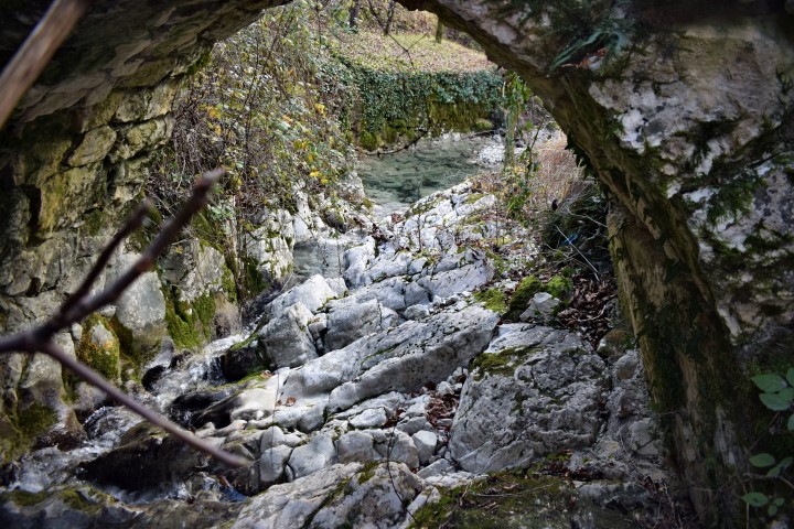
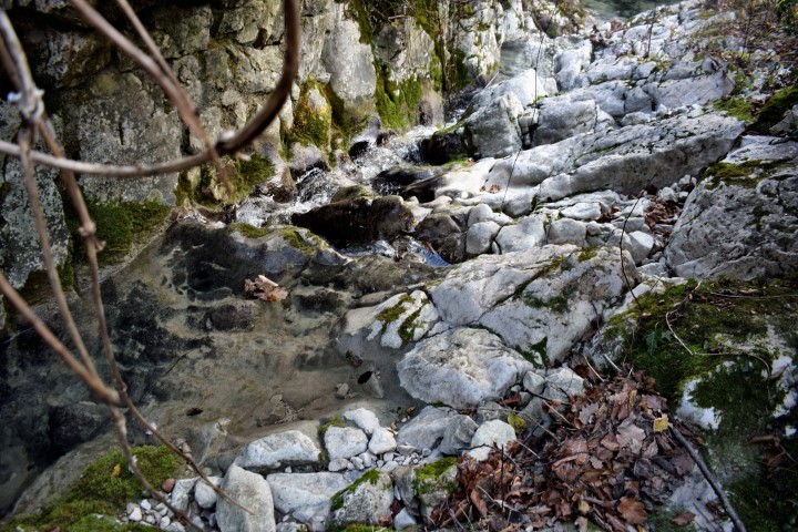
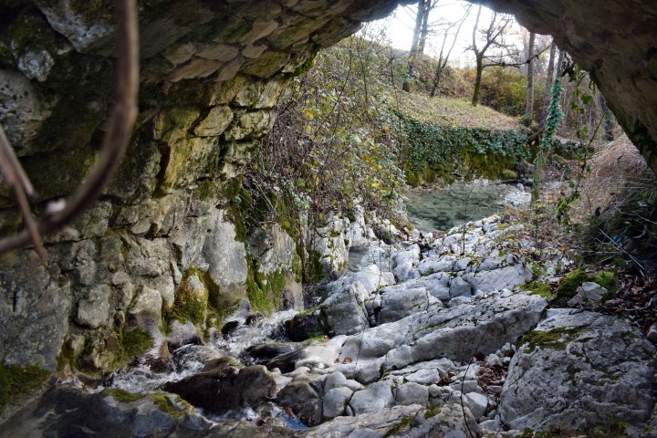
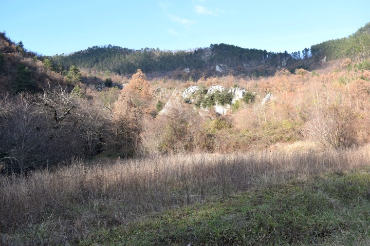

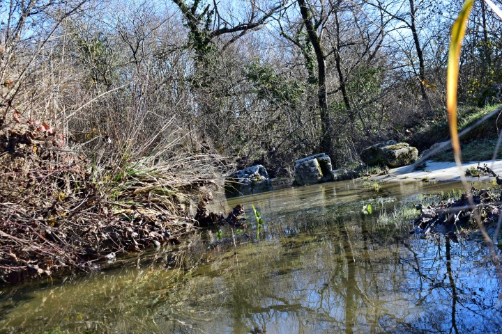
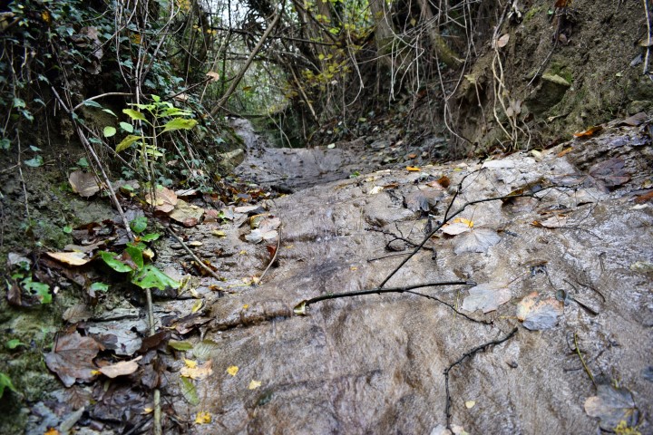
Name: Waterfall Setnica slap / Draški slap.
Stream: Potok
Place: Lovranska Draga – (Lovran).
Coordinates: Start hiking trail:45.27912 N -14.24393 E
Waterfall: 45.28305 N – 14.24120 E (more…)
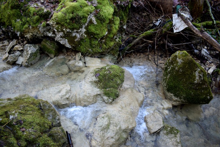
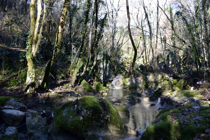
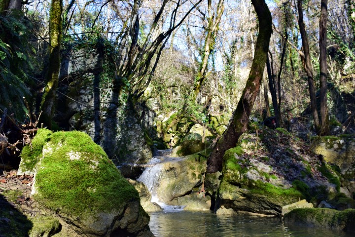
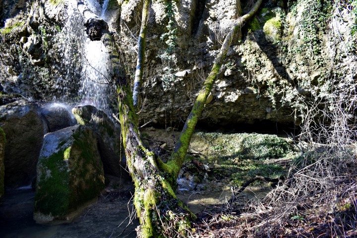
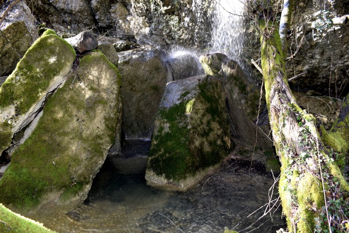
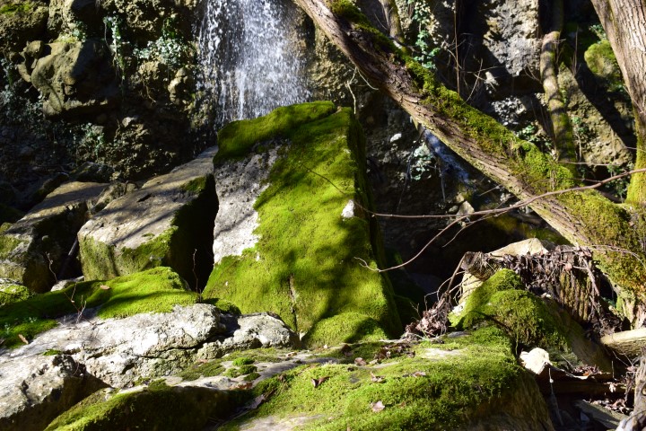
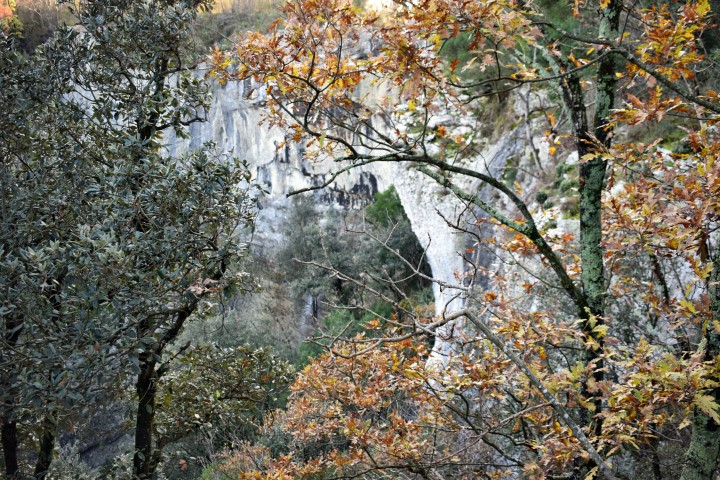
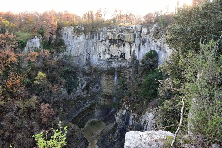
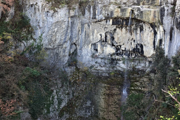
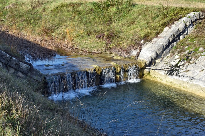
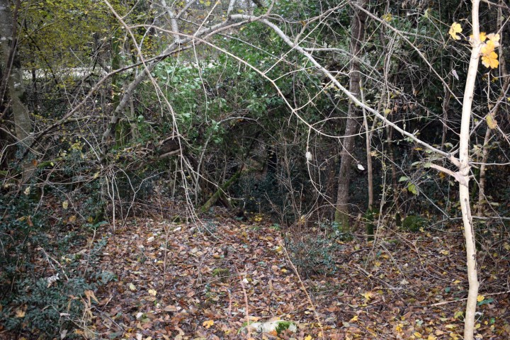
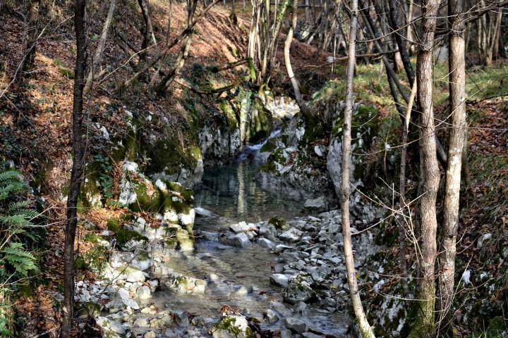
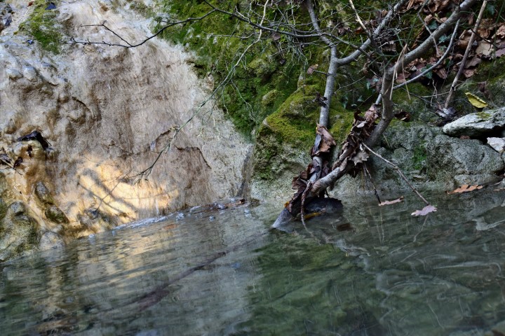
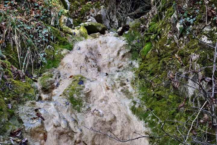
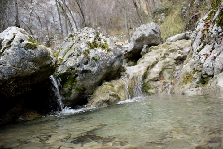
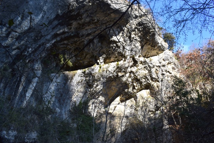
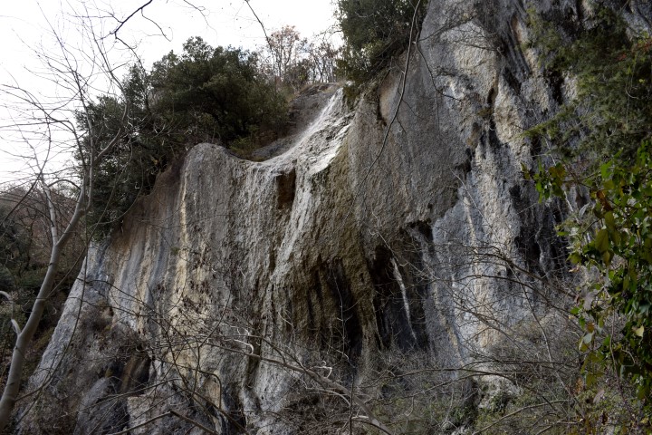
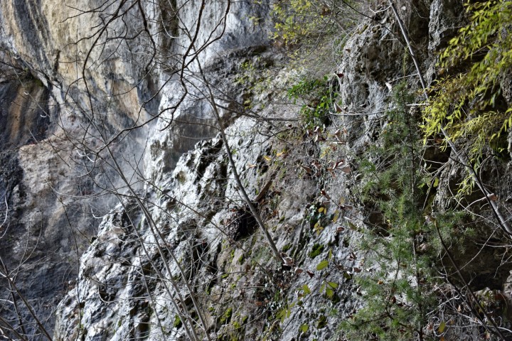
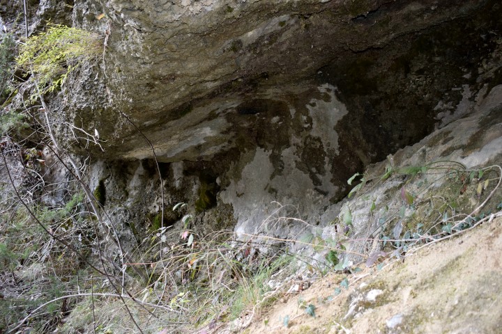
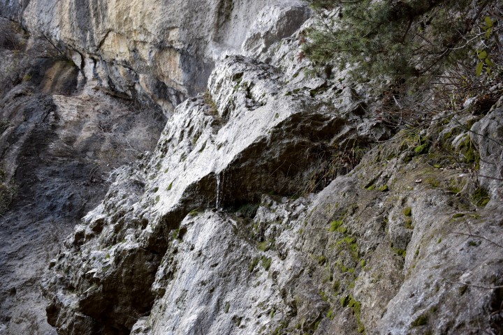
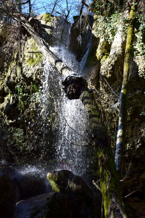
Name: Waterfall Setnica slap / Draški slap.
Stream: Potok
Place: Lovranska Draga – (Lovran).
Coordinates: Start hiking trail:45.27912 N -14.24393 E
Waterfall: 45.28305 N – 14.24120 E (more…)

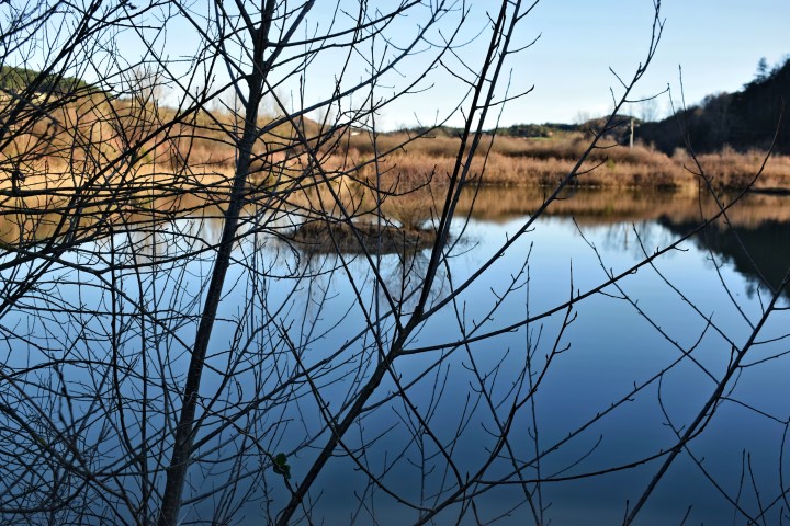
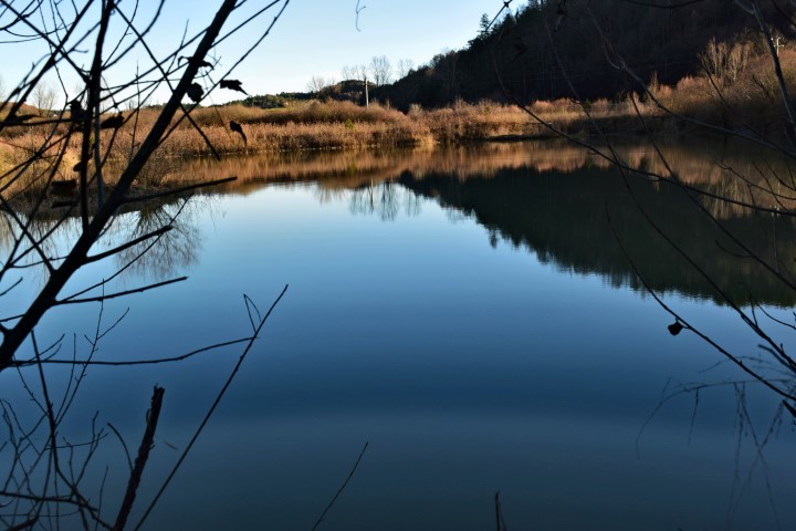
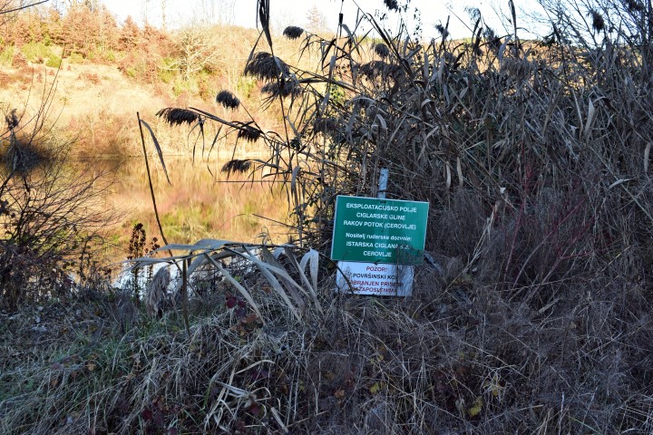
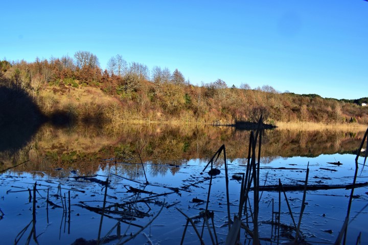
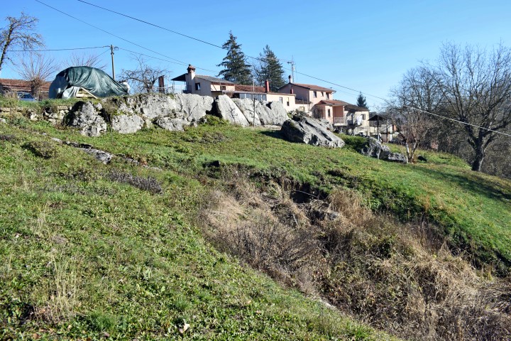
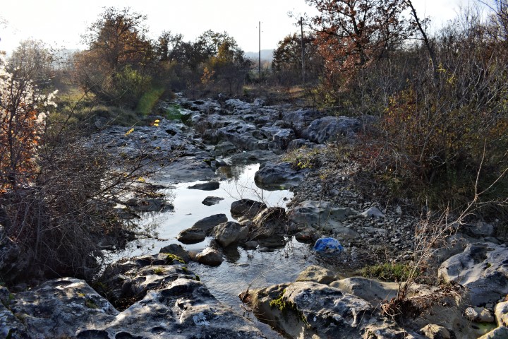
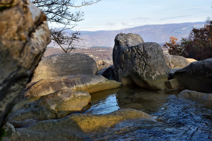
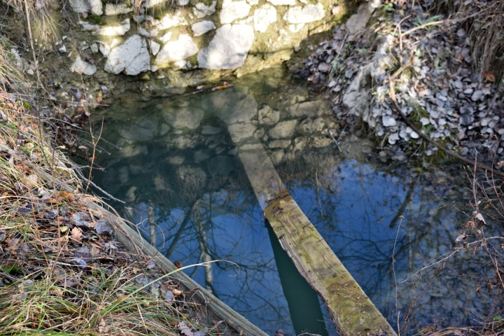
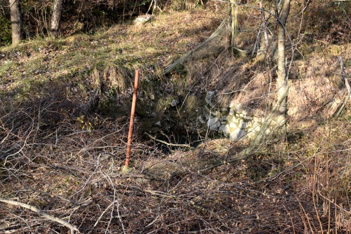
Name: Puddle – Clay exploitation Rakovi Potok.
Place: near road to Rismanica – Cerovlje.
Coordinates: 45.27129 N – 14.02592 E..
Place: Lukačići near Gologorički Dol.
stream: unknown.
Coordinates: 45.24767 N – 14.03562 E.
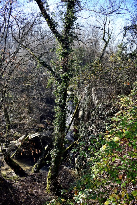
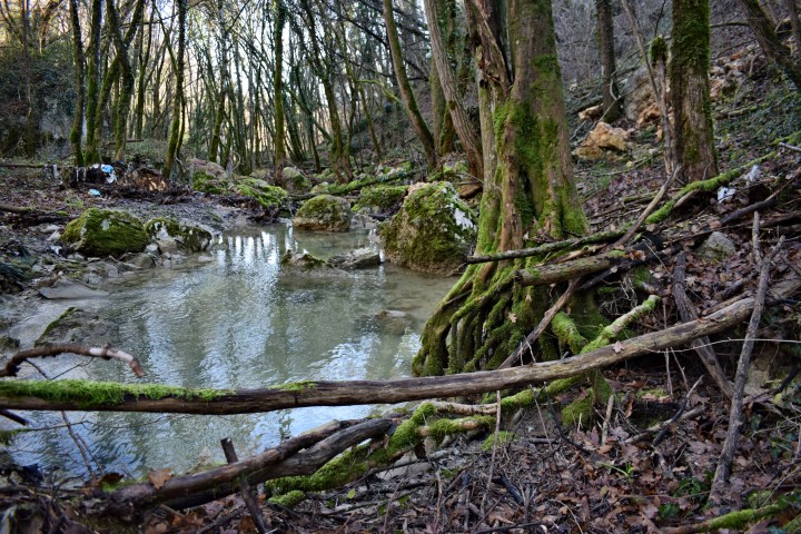
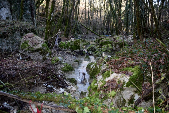
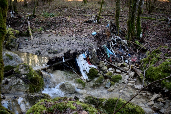
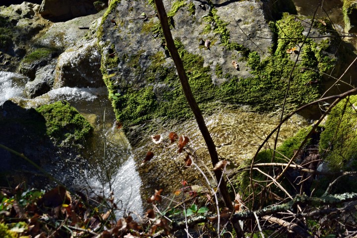
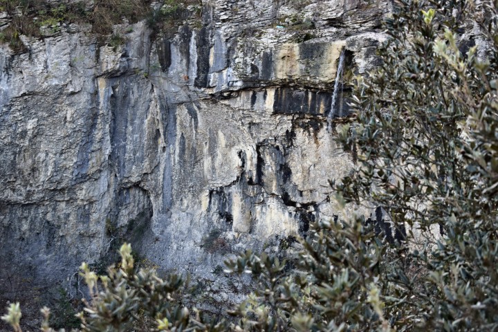
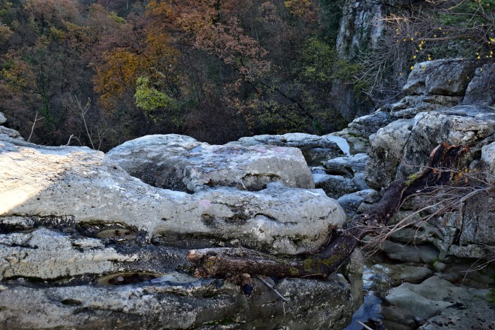
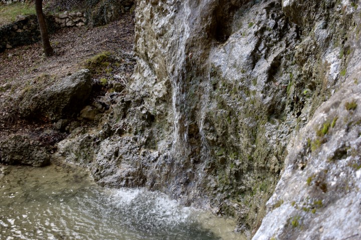
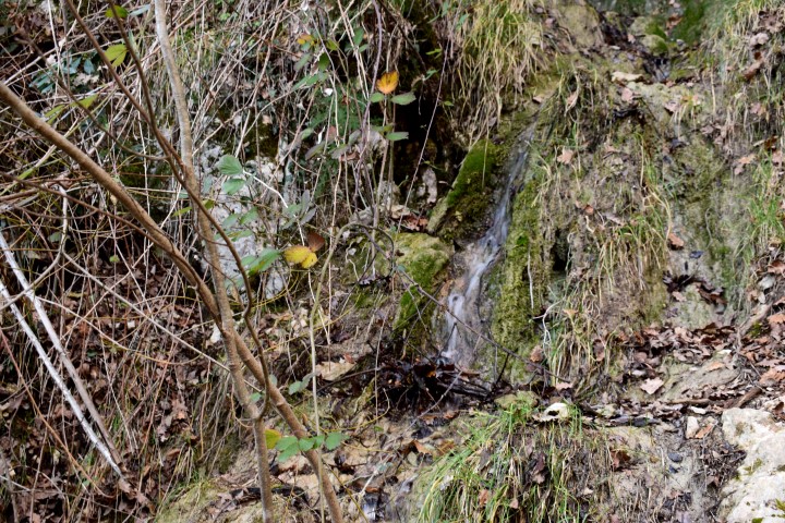
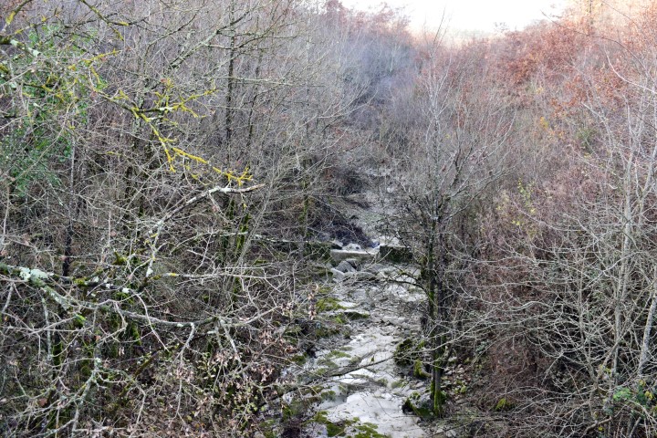
Name: Waterfall “Blizu ima smeća” (“Near there is carbage”)
Stream: Brestovica.
Place: Rijavac – (Pazin).
Coordinates: 45.27129 N – 14.02592 E.

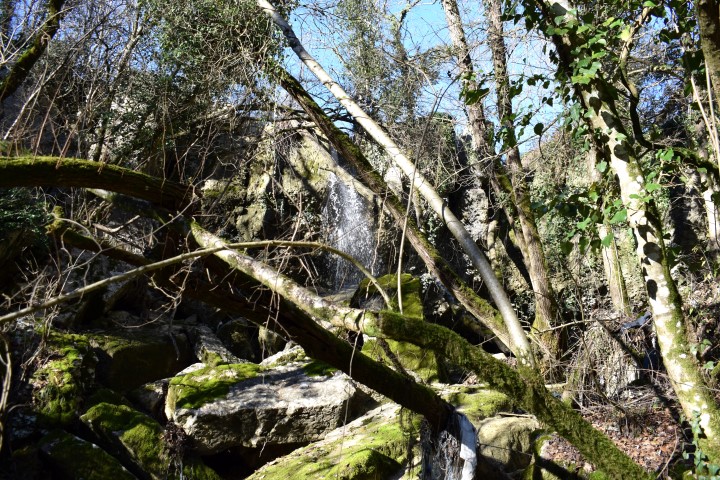
Name: Waterfall Benkovići.
Place: Benkovići – (Pićan).
Stream: Granjanski potok.
Coordinates: 45.200384 N – 14. 057267 E.
Name: Stream Granjanski potok.
Place: Cinzebi – (Pićan).
Coordinates: 45.203446 N – 14.068071 E
(more…)
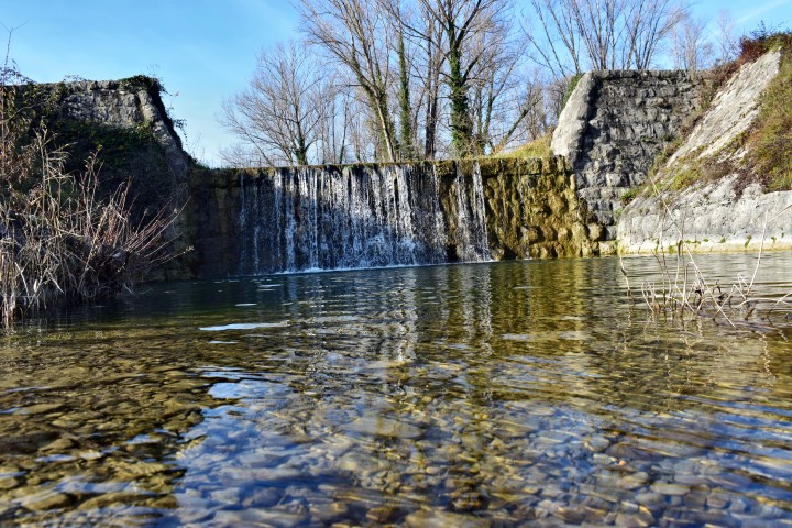
Name: Weir Zuhtići.
Place: Zuhtići- Gologorički Dol – (Cerovlje).
Stream: Gologorički potok
Coordinates: 45.23736 N – 14.050016 E.
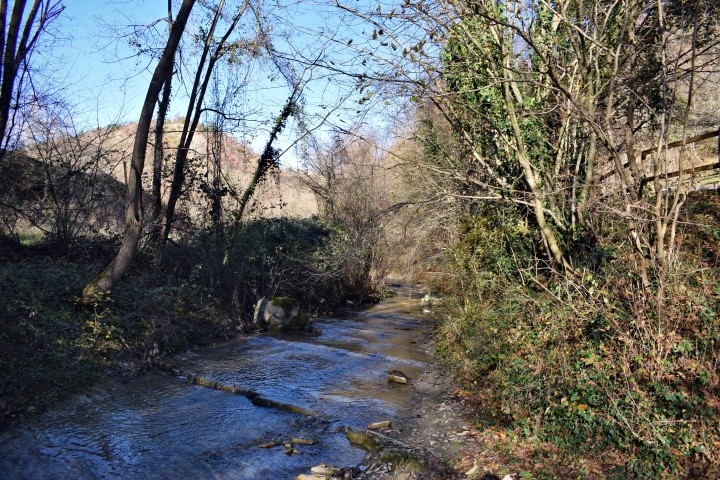
Name: Stream near Paladini.
Place: Paladini – (Motovun).
Coordinates: 45.31913 N – 13.85327 E. (more…)
Viaduct: L 64 m – H 20 m.
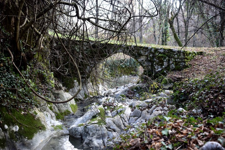
Name: Parenzana viaduct over stream Sabadin.
Place: Vižinade- Motovun
Coordinates: 45.31689 N – 13,78602 E
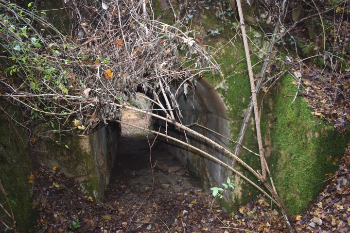
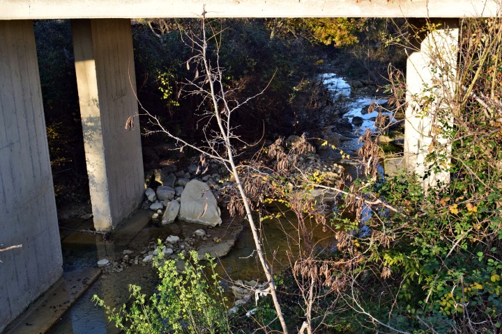
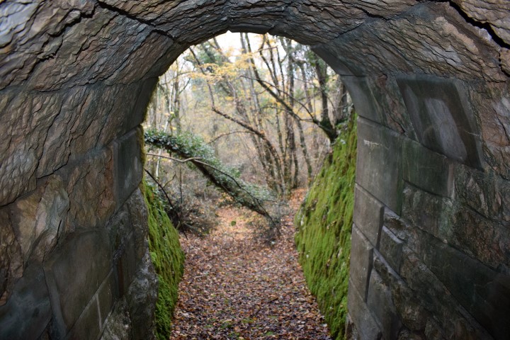
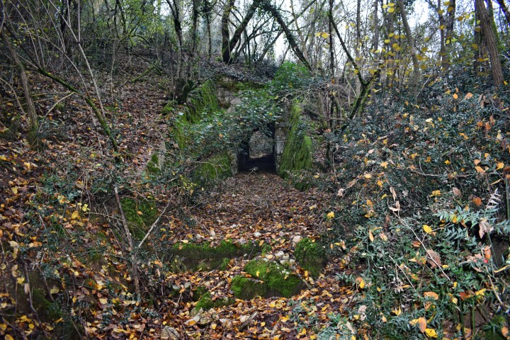
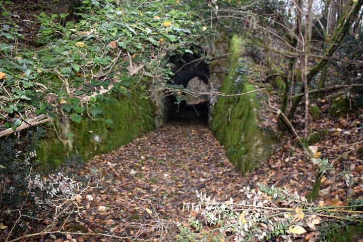
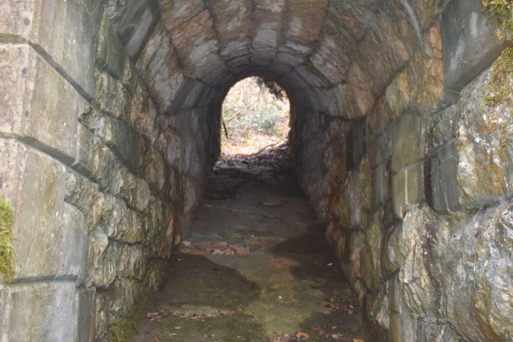
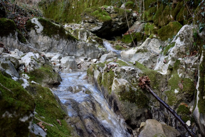
Name: Water-underpass Parenzana from stream Skrile to river Krvar.
Place: Spimovići – (Motovun).
Coordinates: 45.31869 N – 13.78602 E.