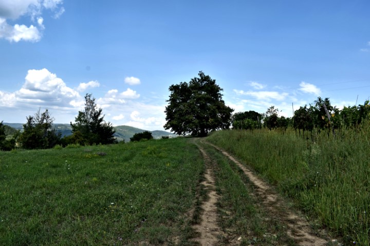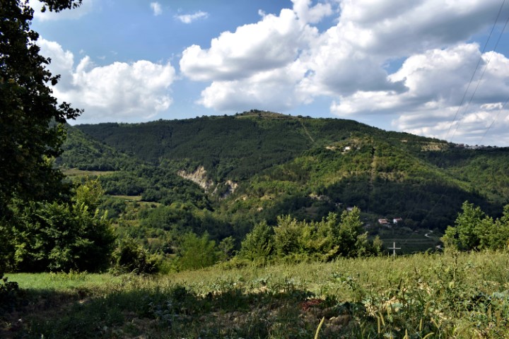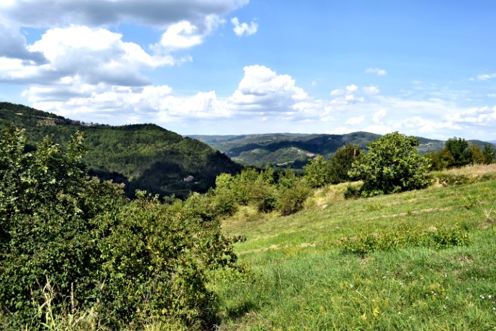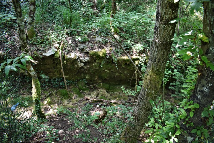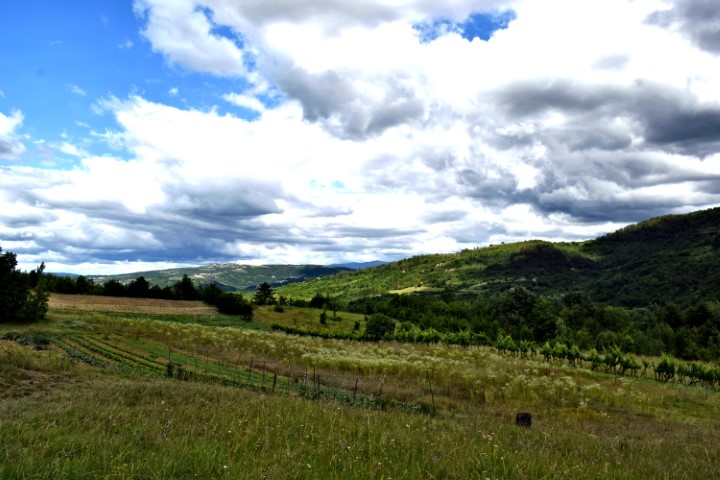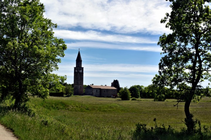

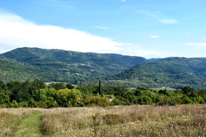
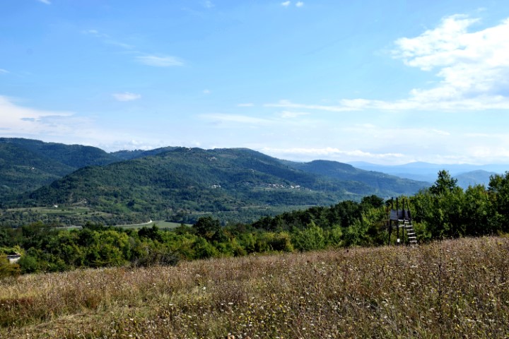

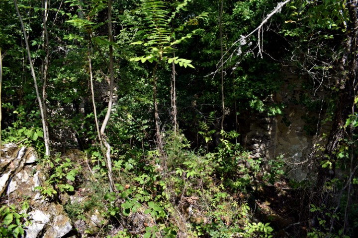
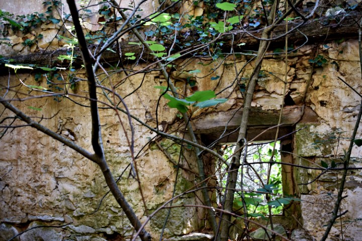
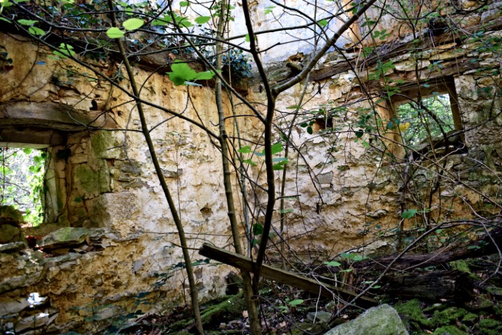
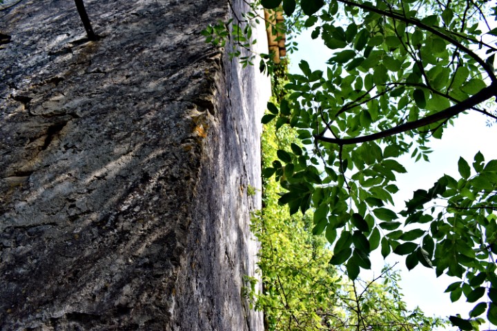
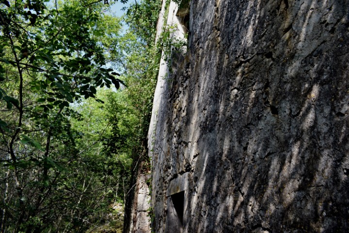


Name: Hiking trail Vižinada to the old village Trombal – river Mirna -Vižinada.
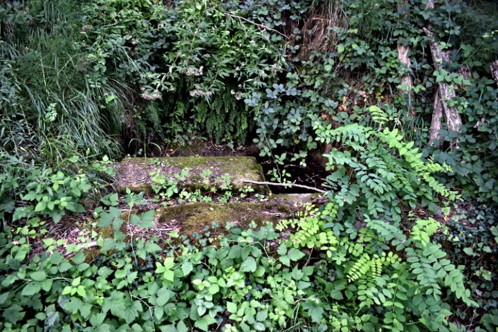
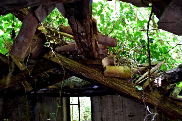
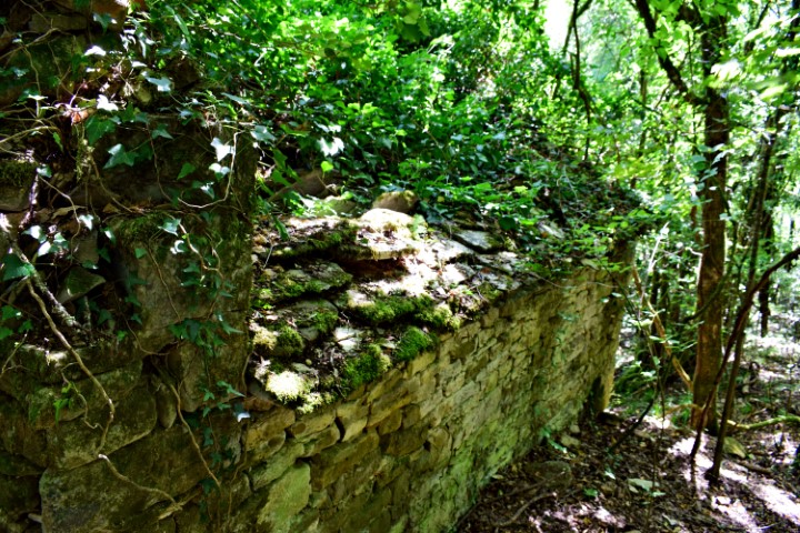
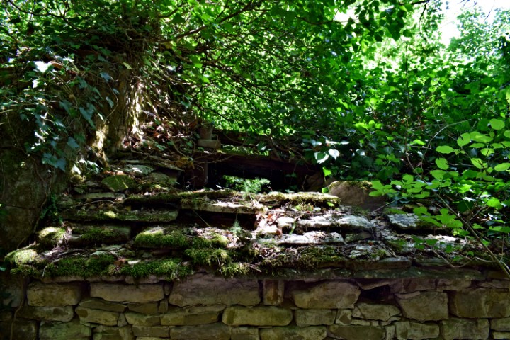
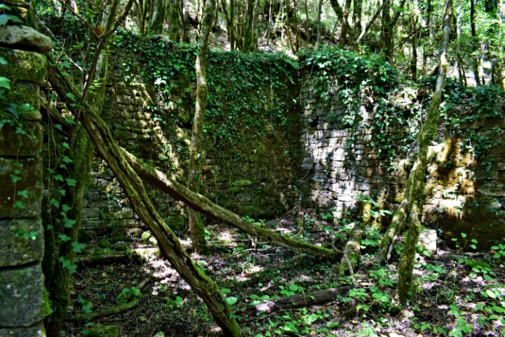
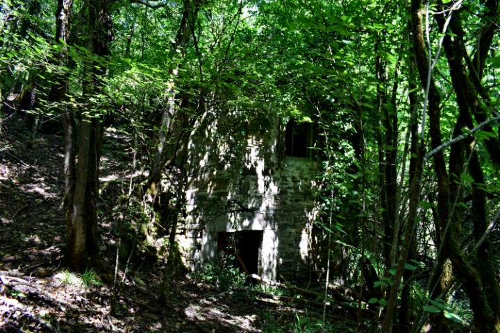
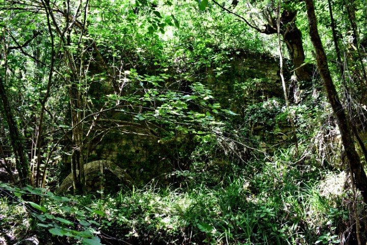
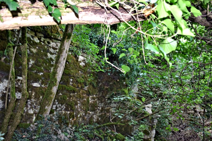
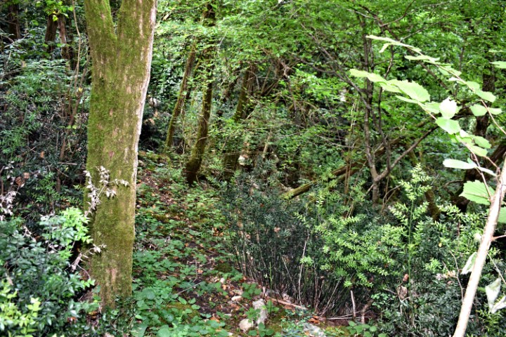
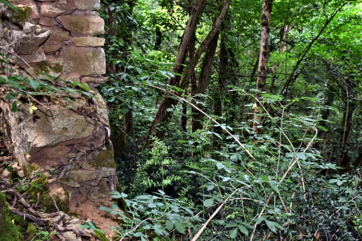
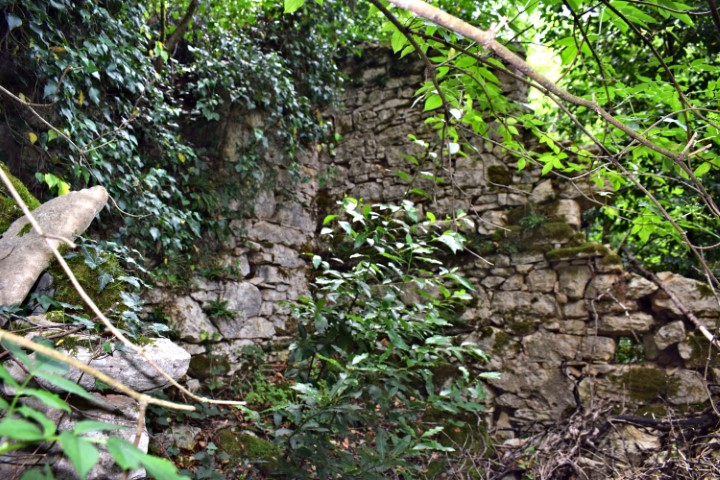
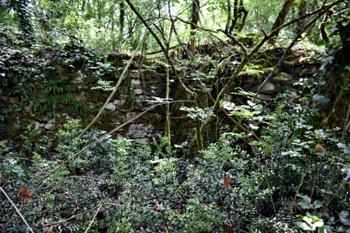
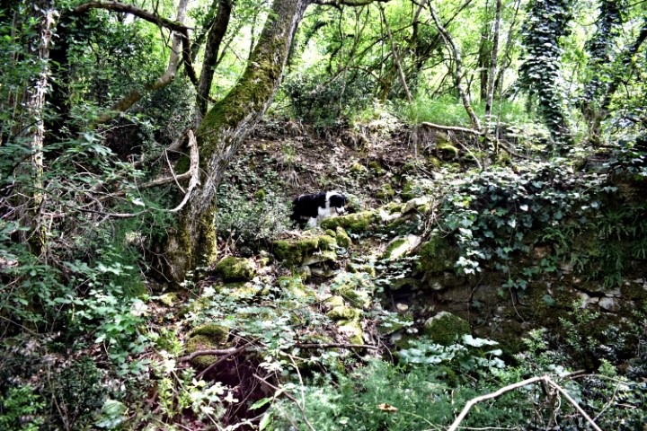
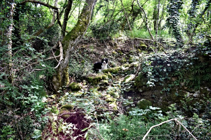
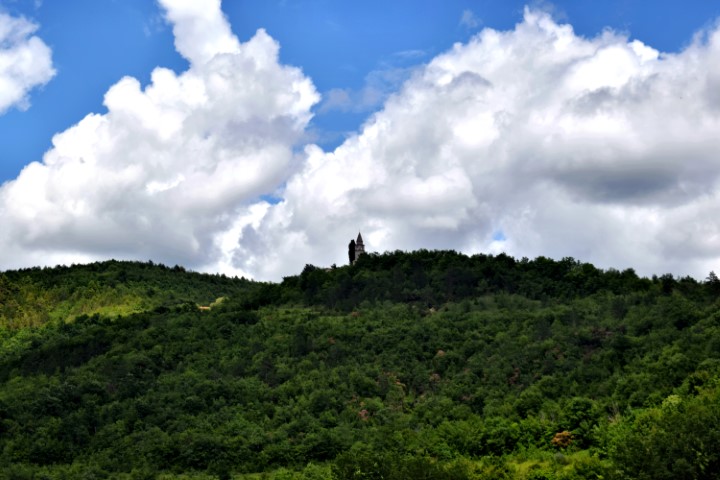
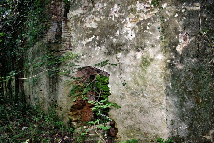
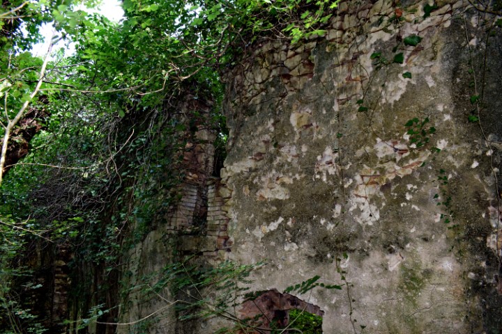
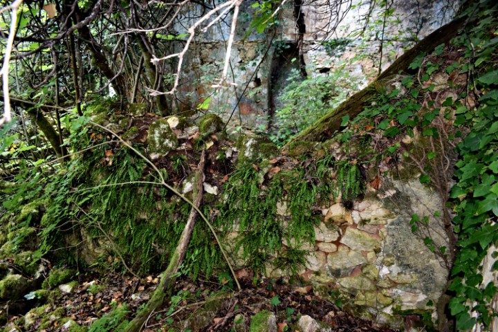
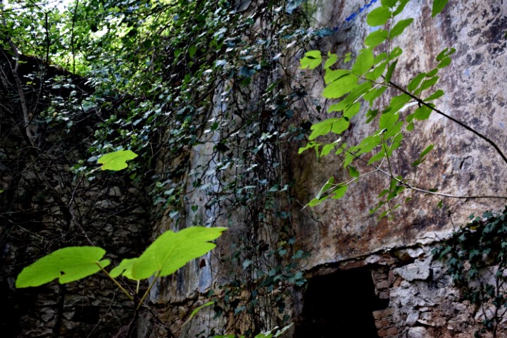
Place: Trombal – (Vižinada).
Coordinates: Start point 45.33561 N – 13.76117 E, ruins Trombal 45.45.34656 N -13.76726 E and 45.34643 N -13.76706 E, Mirna 45.34994 N -13.76103 E.