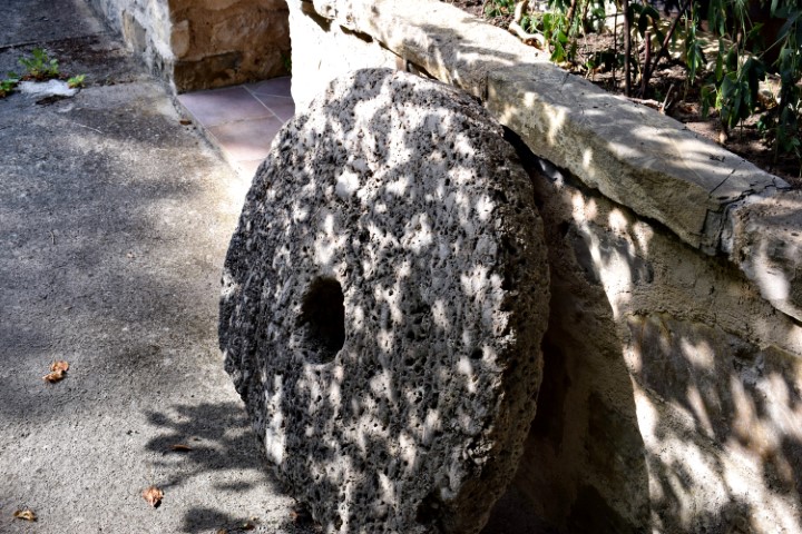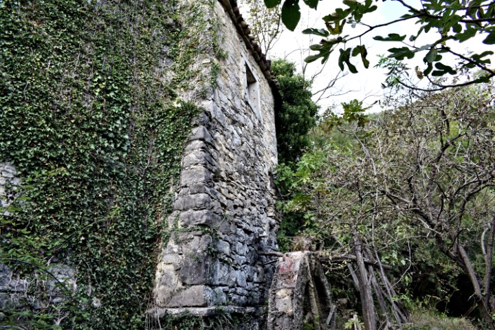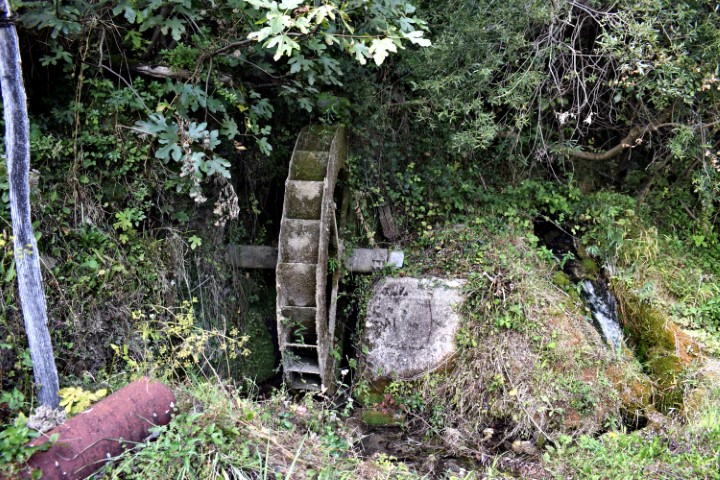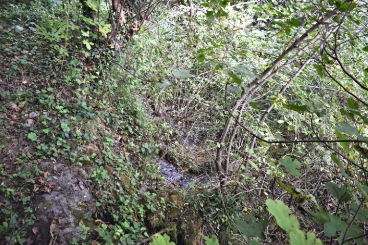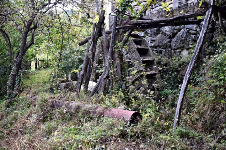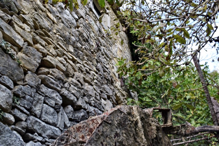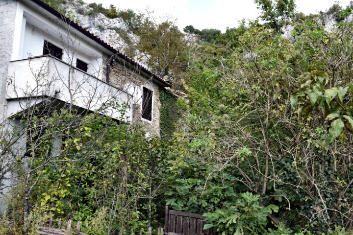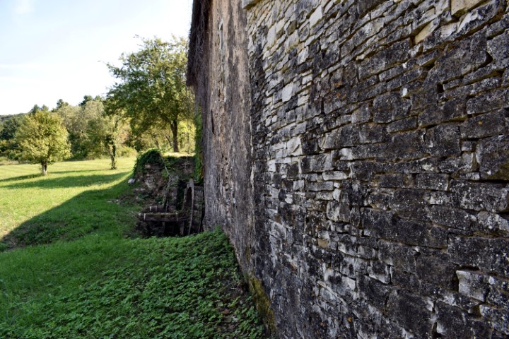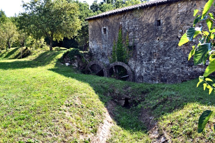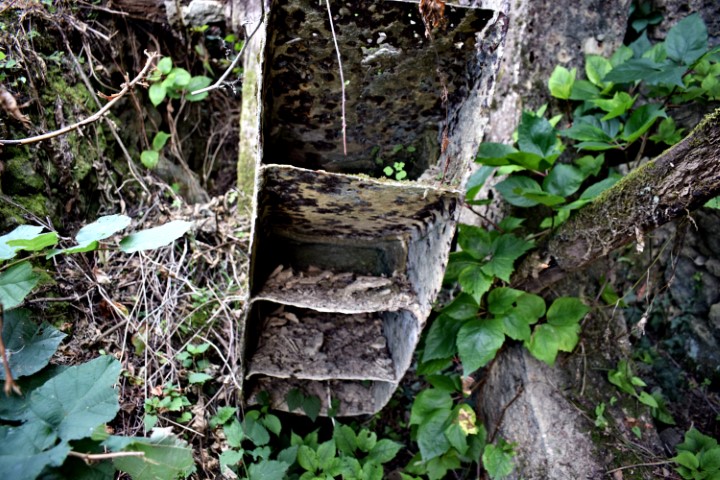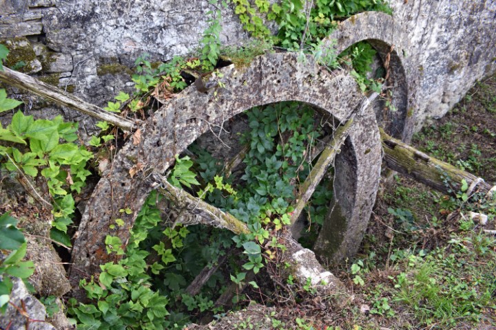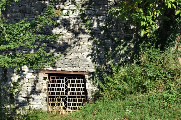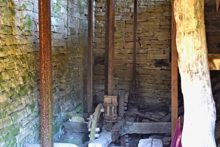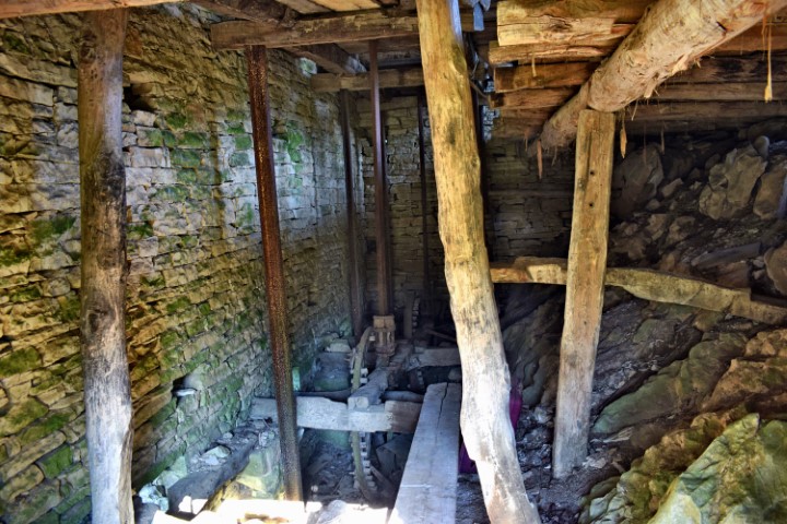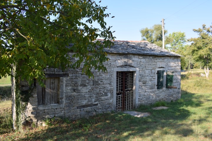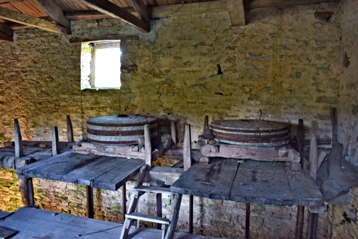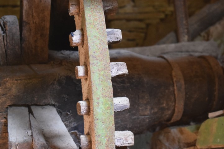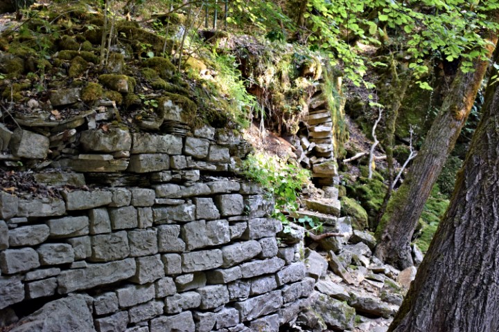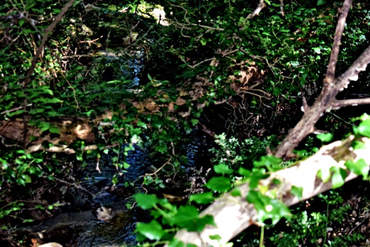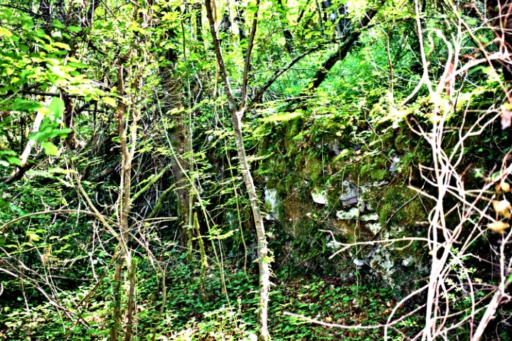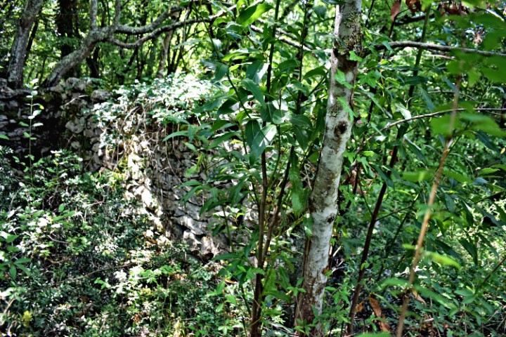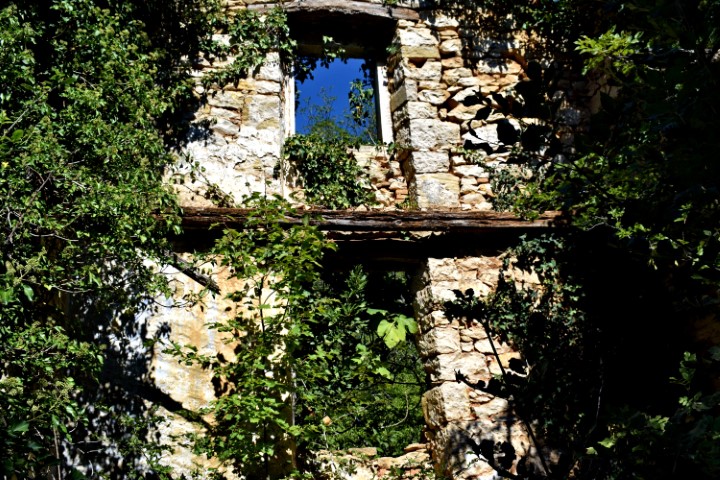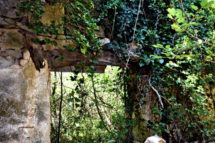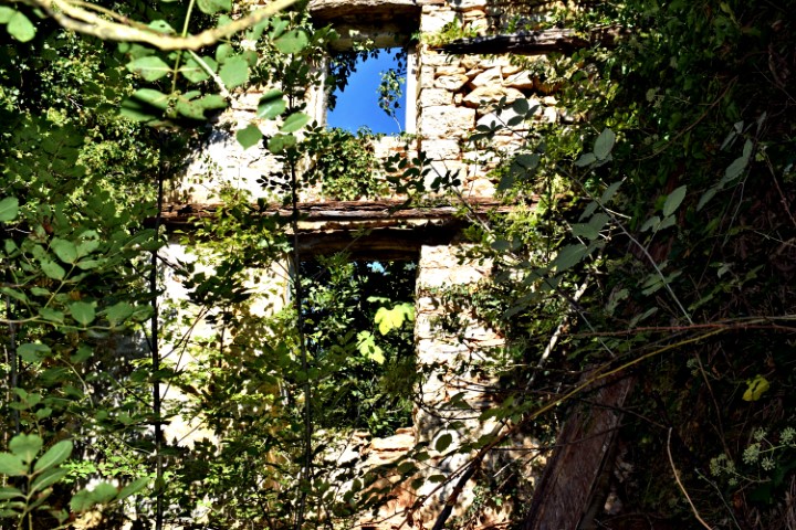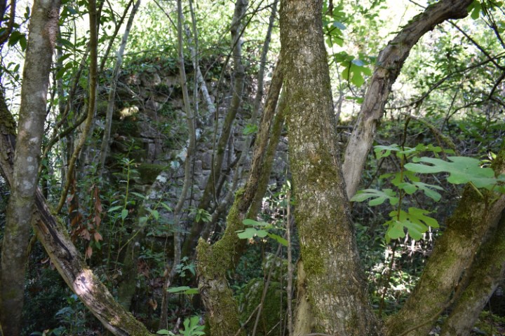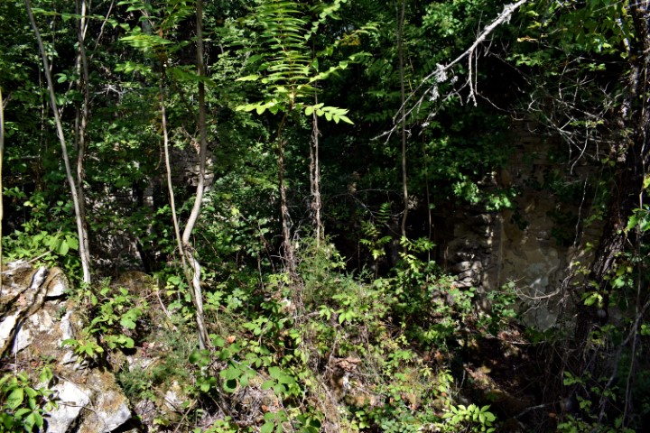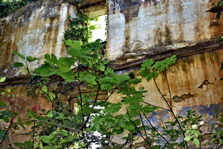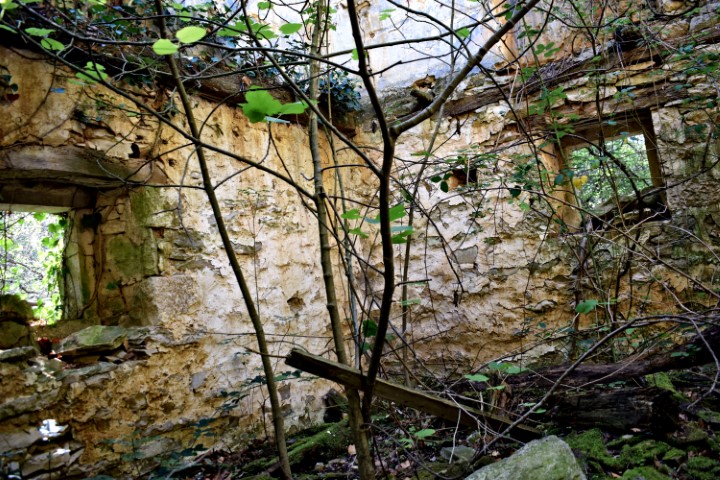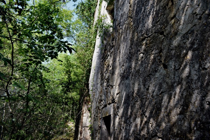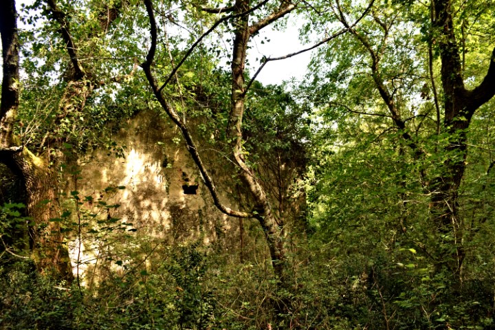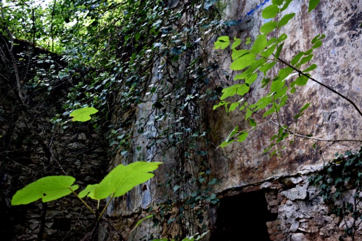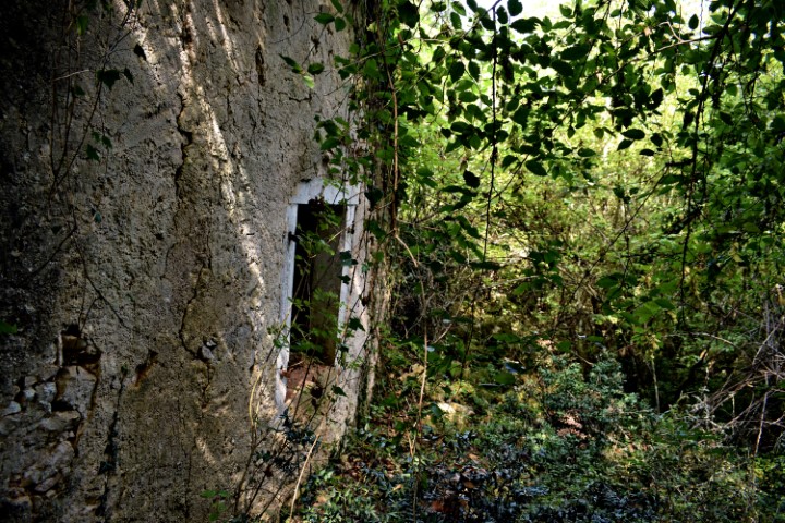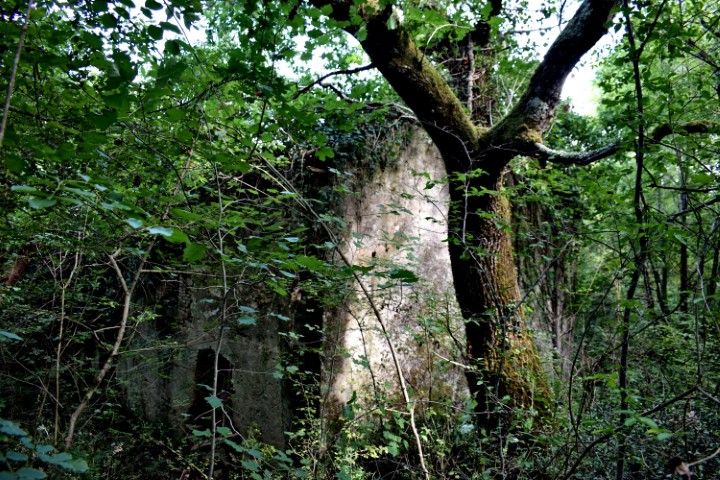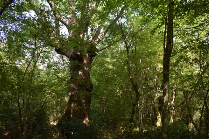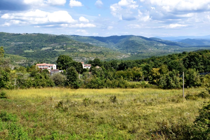


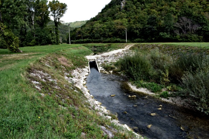
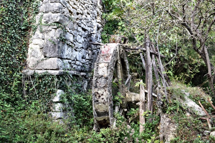
Name: Three wheel wheat watermill in Rušnjak (112) – river Mirna.
Place: Rušnjak – (Sdregna, XIII – 131) – Buzet.
Coordinates:45.38874 N – 13.89571 E.
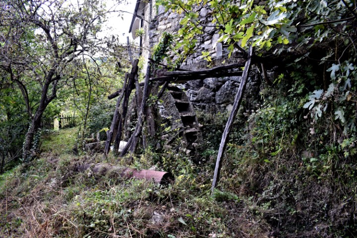
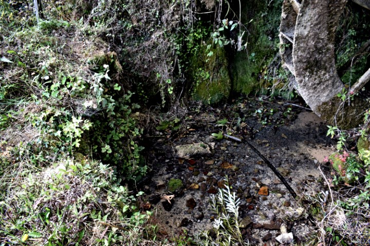
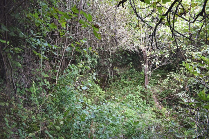
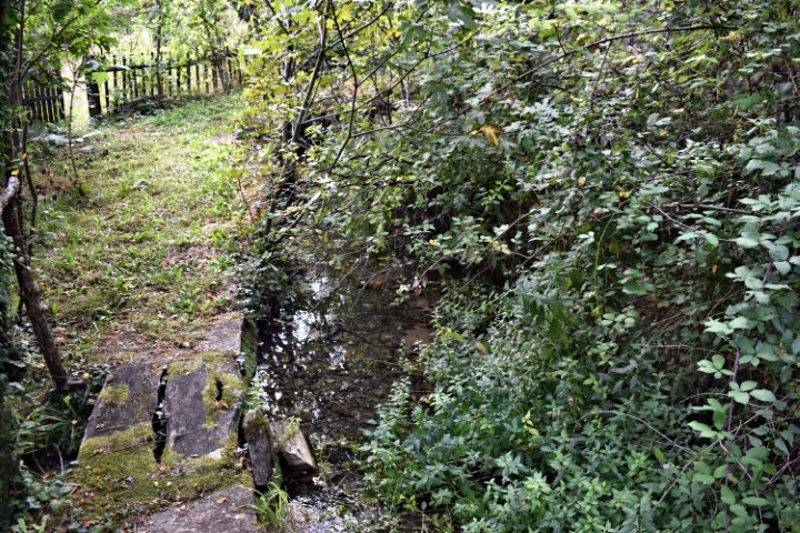
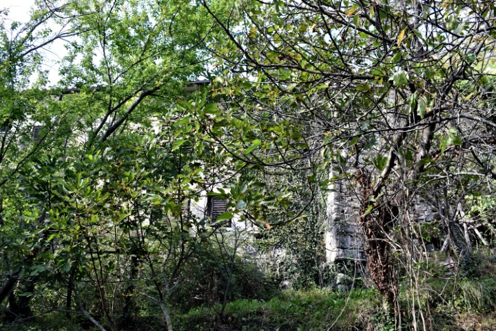
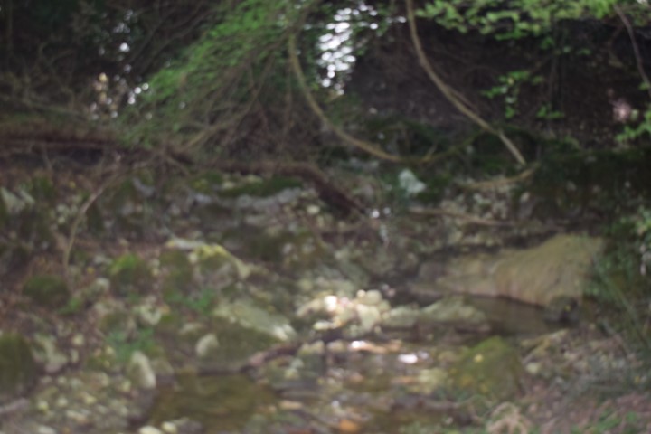
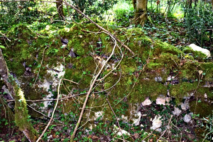
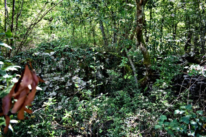
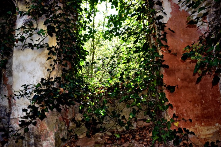
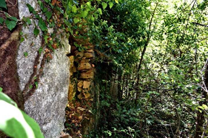
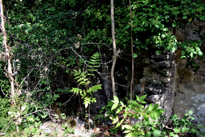
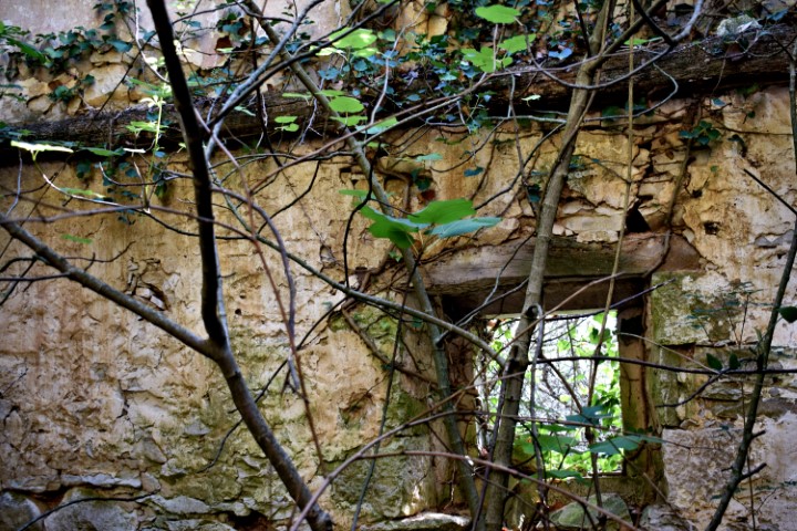
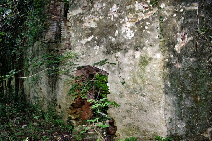
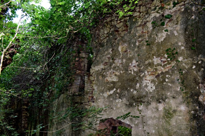
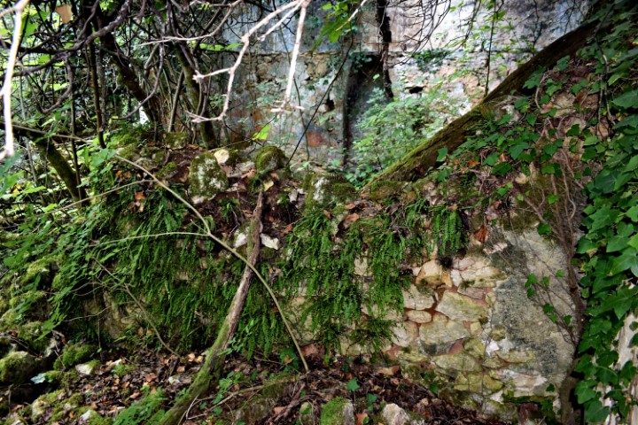
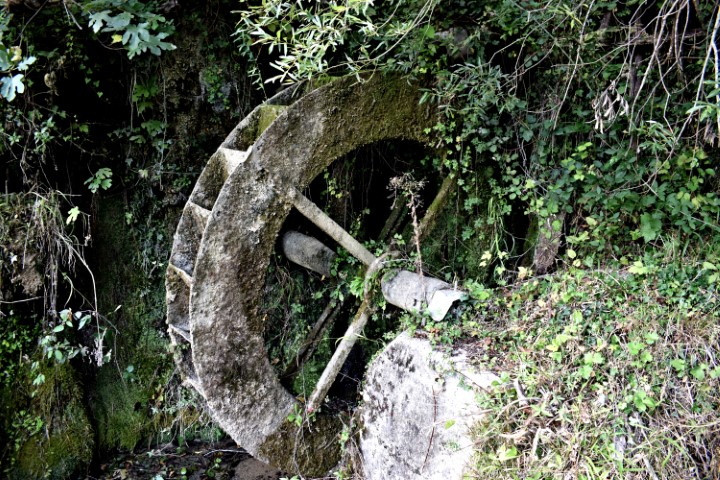
Name: Three wheel wheat watermill in Rušnjak (112) – river Mirna.
Place: Rušnjak – (Sdregna, XIII – 131) – Buzet.
Coordinates:45.38874 N – 13.89571 E.
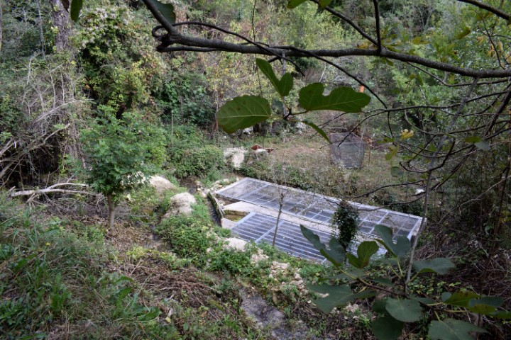
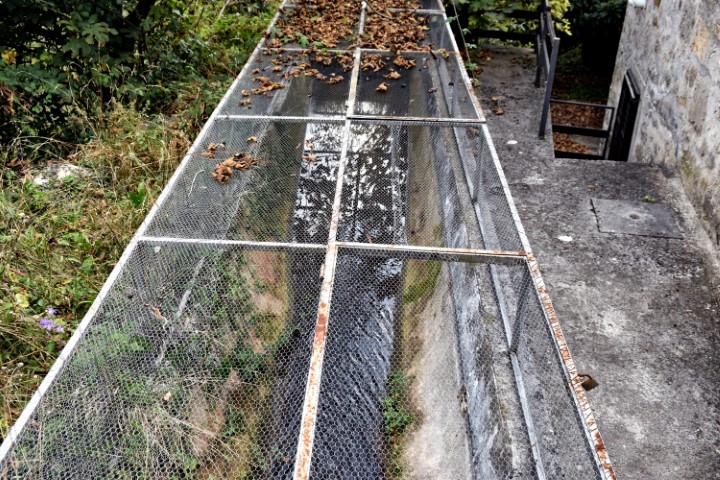
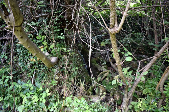
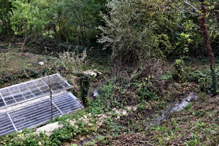
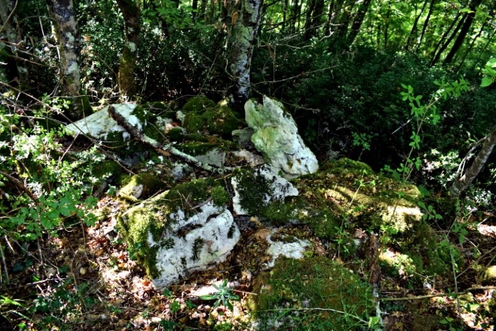
Name: Two wheels watermill in the village Mlini (74) – Rio Gradinavaz.
Place: Mlini – (Cernizza, V 50) – (Buzet).
Coordinates: 45.452302 N – ¸13.924034 E.
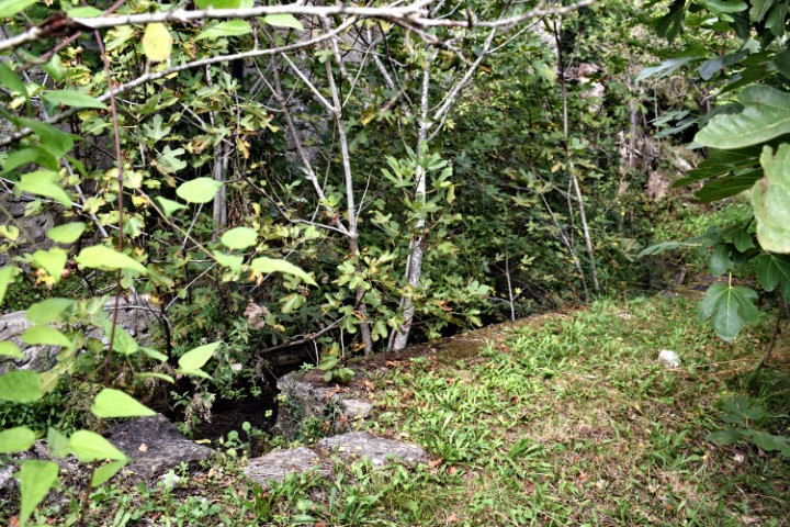
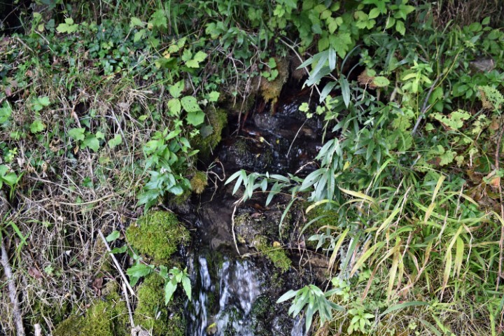
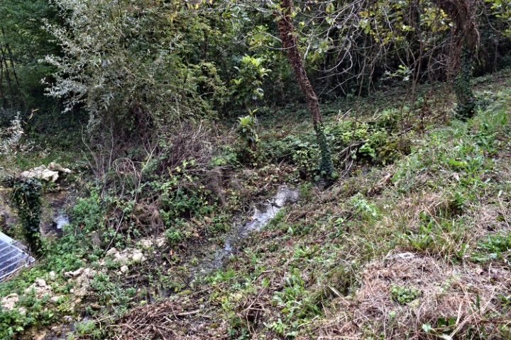
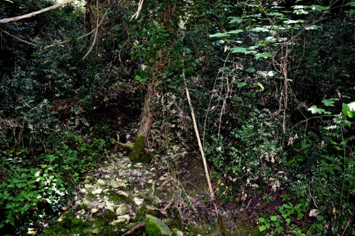
Name: Two wheel watermill in the village Mlini (73).
Place: Mlini – (Cernizza, II 85) – (Buzet).
Coordinates: 45.452448 N – 13.924301 E.

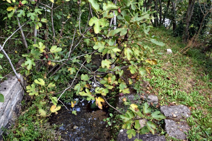
Name: Watermill Cebrijan near Kremenje.
Place: Cebrijan – Kremenje – (Buje).
Coordinates: 45.43477 N – 13.69215 E.

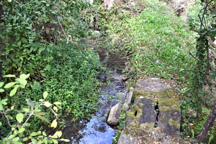
Name: Watermill near Jucovci.
Place: Near Jucovci – Sterna – (Oprtalj).
Coordinates: 45.44108 N – 13.70851 E.

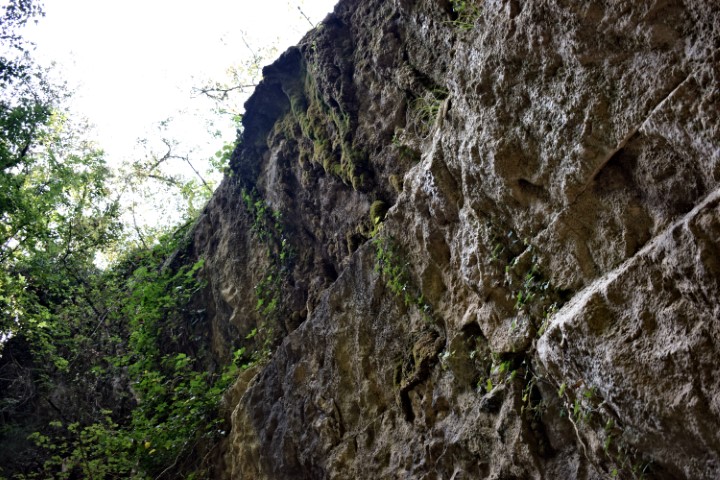
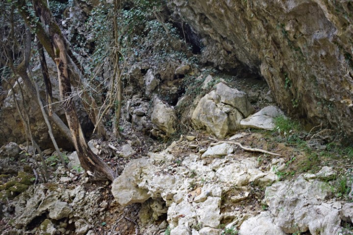
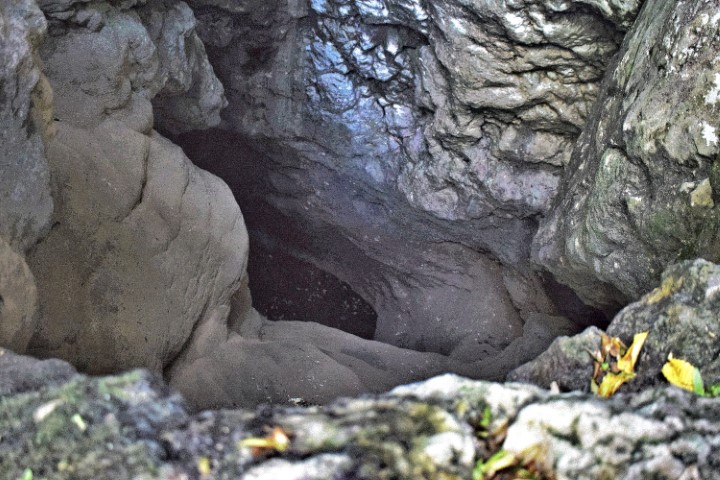
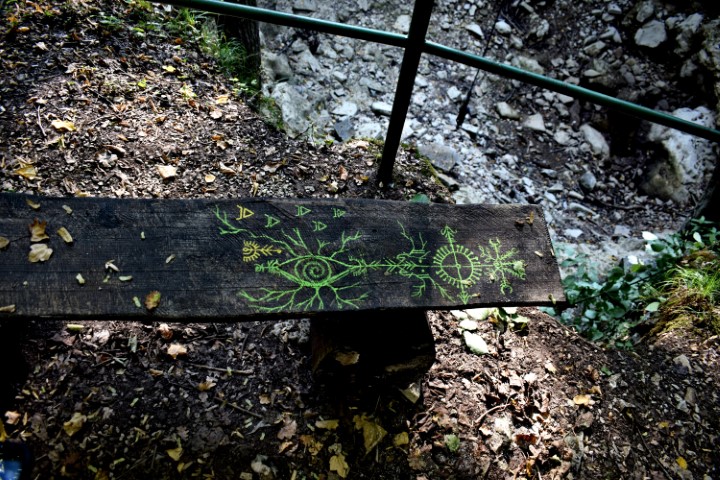
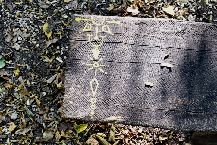
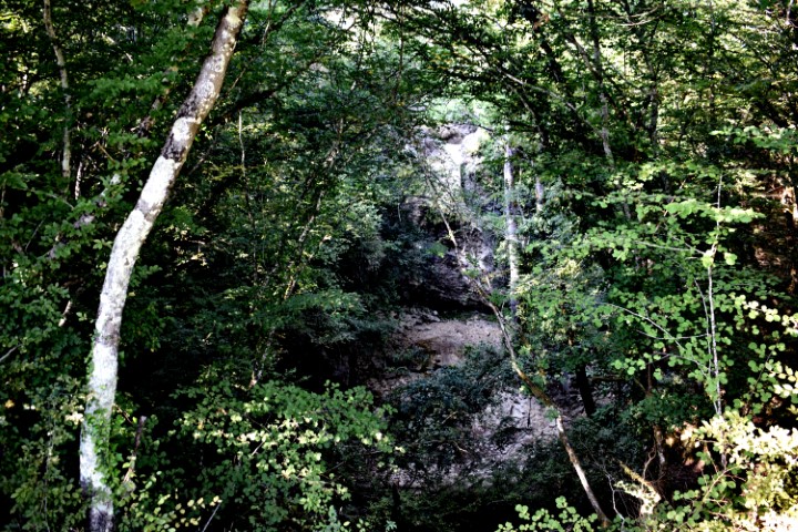
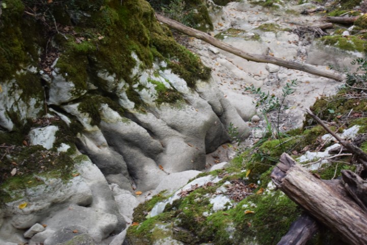
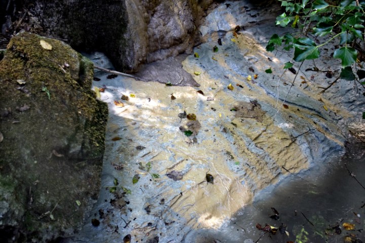
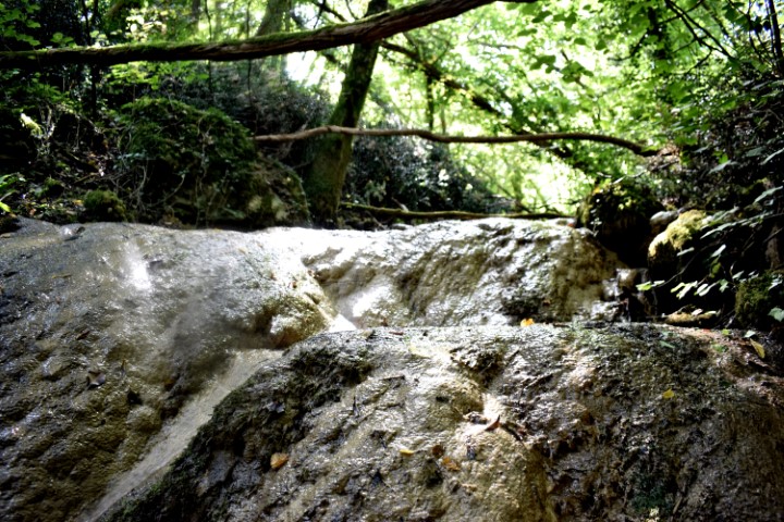
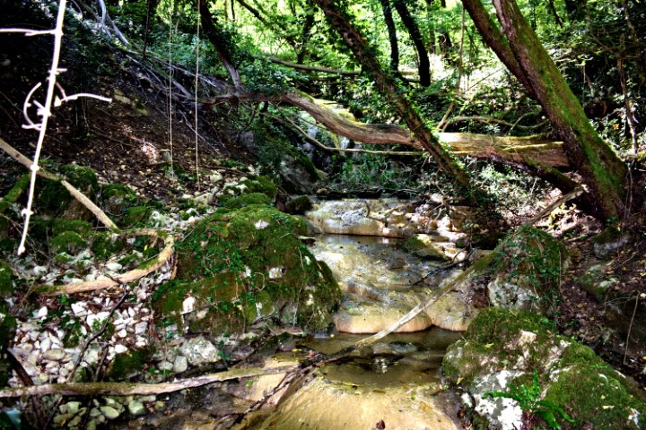
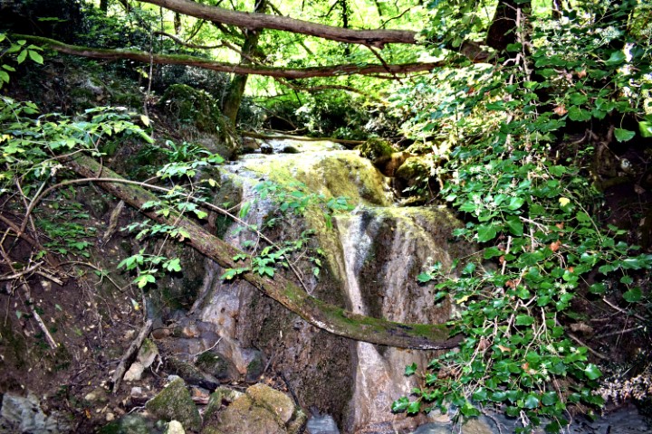
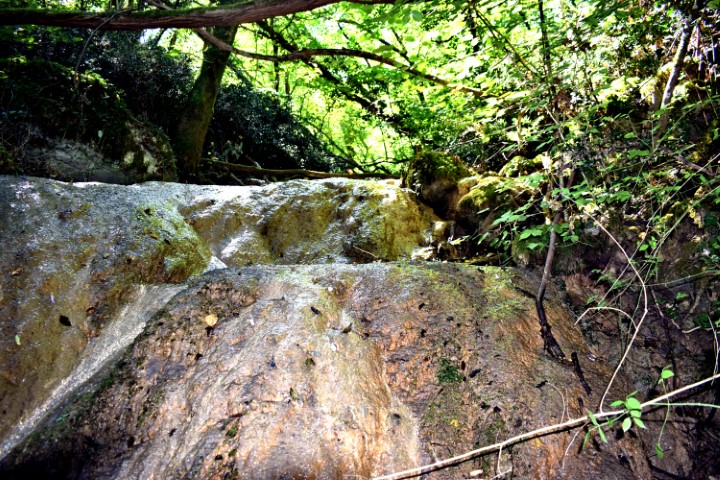
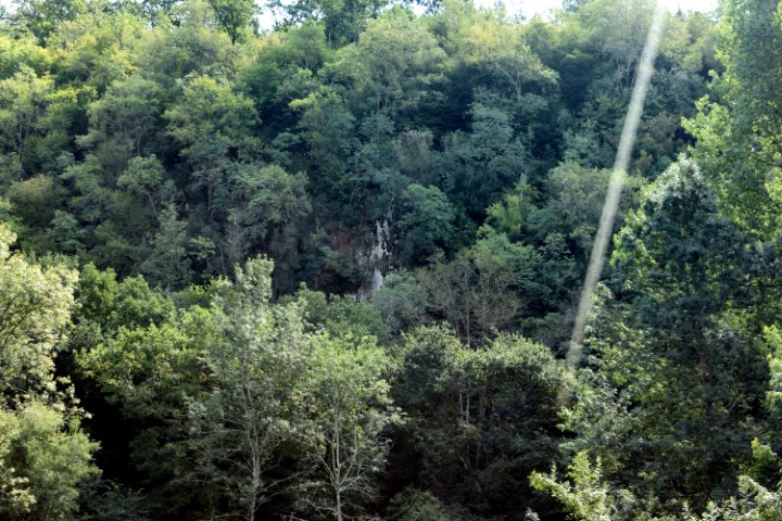
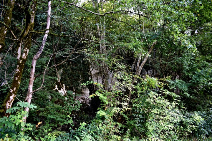
Name: Butori waterfall – “dry”.
Place: Near Sterna – (Opratlj).
Coordinates: 45.44108 N – 13.79851 E
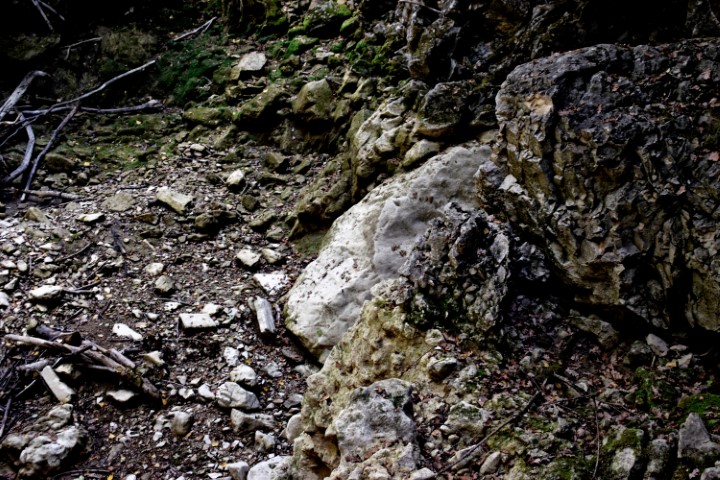
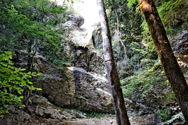
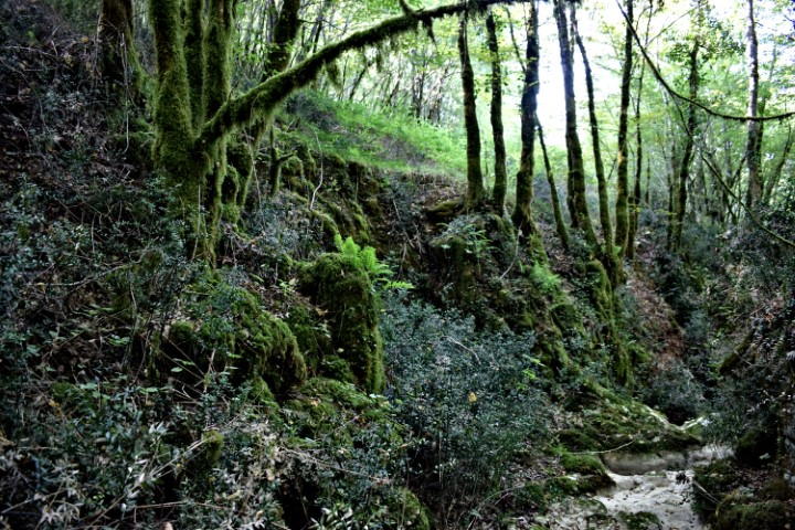
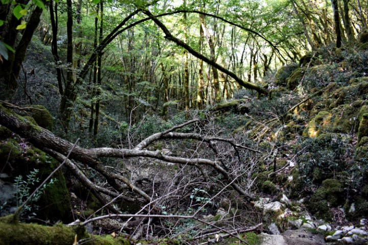
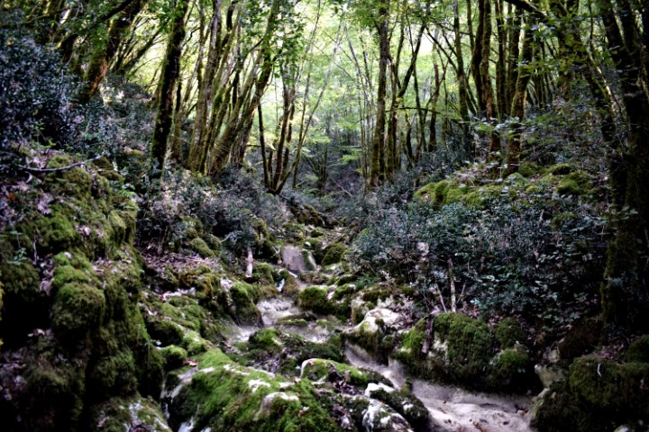
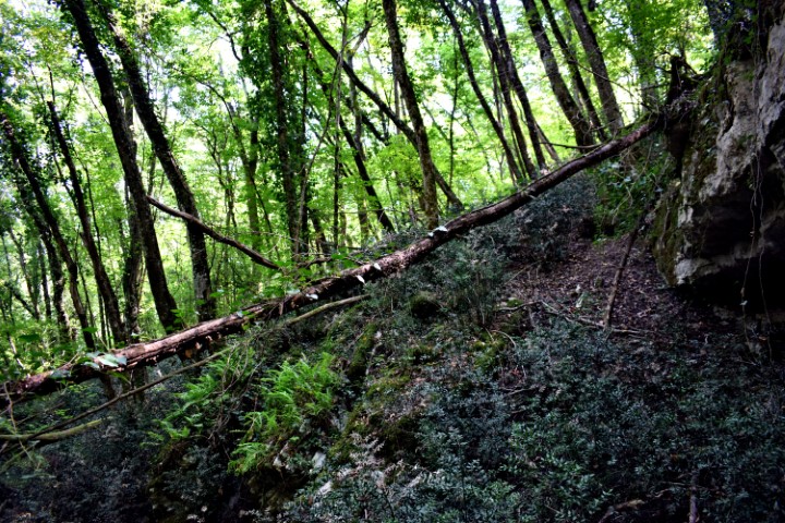
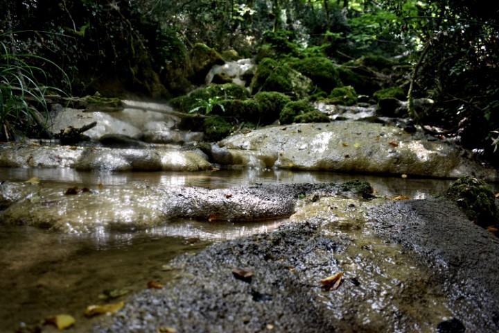
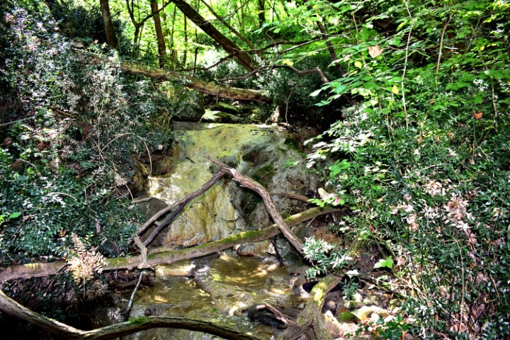
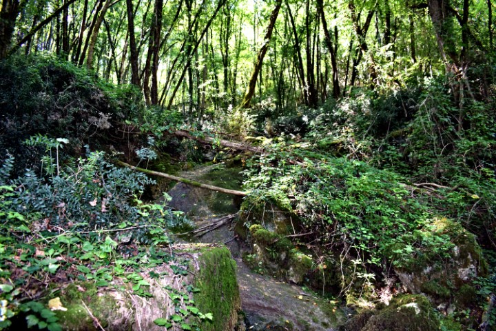
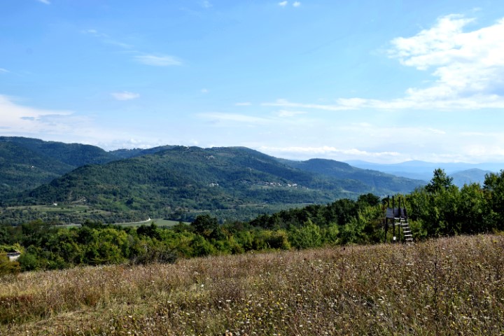
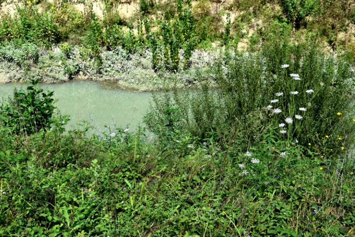
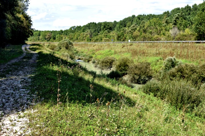
Name: Stream Zenerin downstream from 96 to 62 meters a.s.l. near Zudetići.
Place: Near Zudetići – (Vižinada).
Coordinates: Start point to stream Zenerin in Canyon 45.34398 N – 13.75964 E (96 meters a.s.l.) to 45.333447 N – 13.75758 (62 meters a.s.l.).

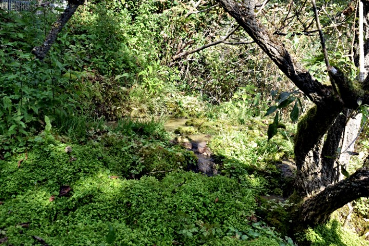
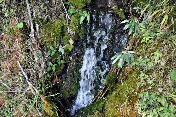
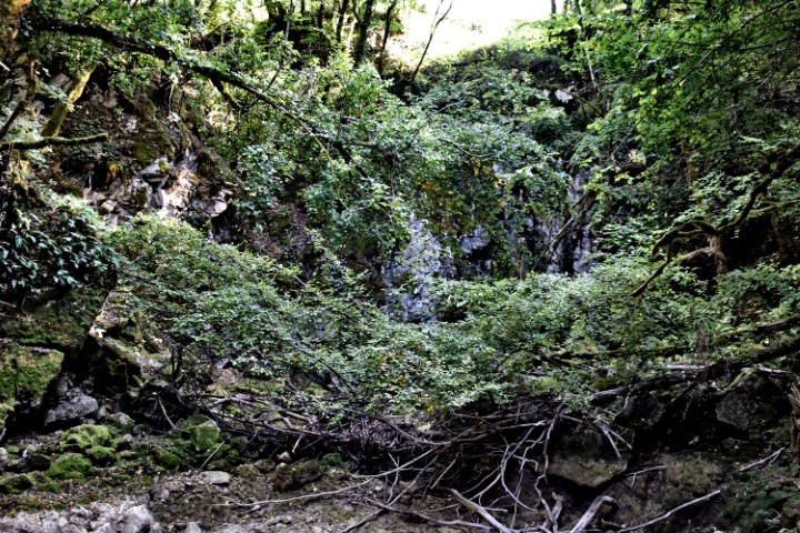
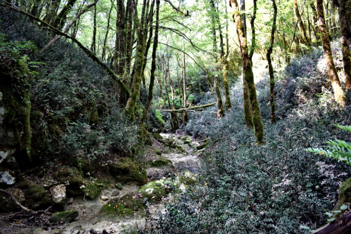
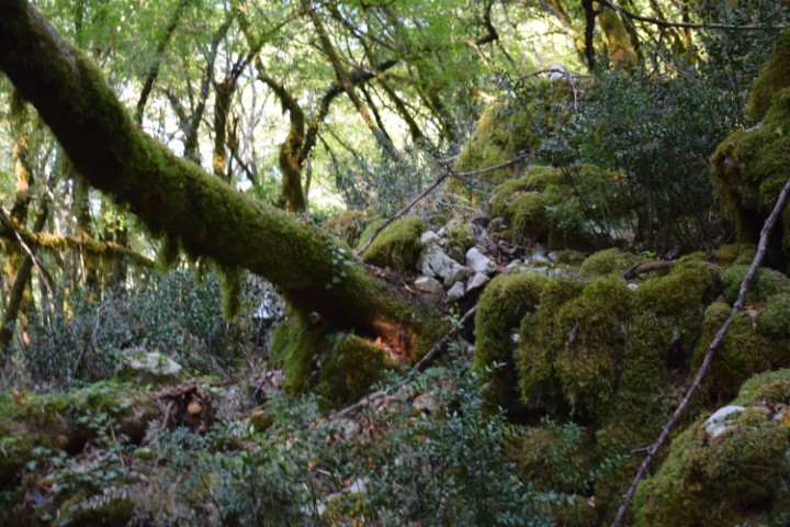
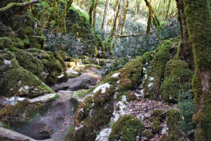
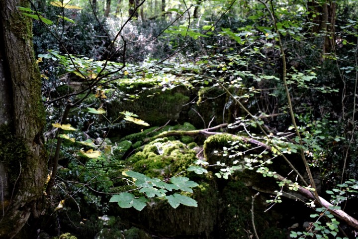
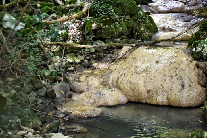
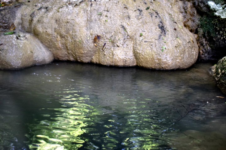
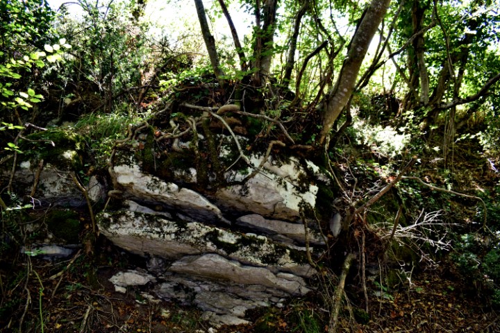
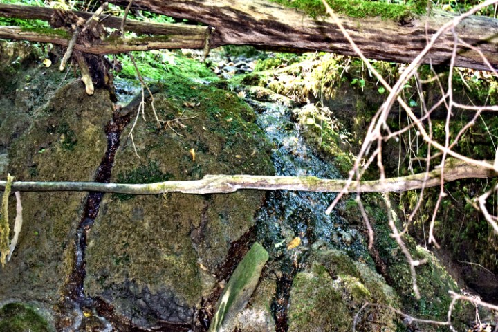
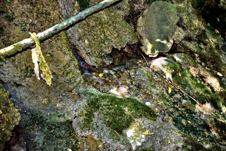
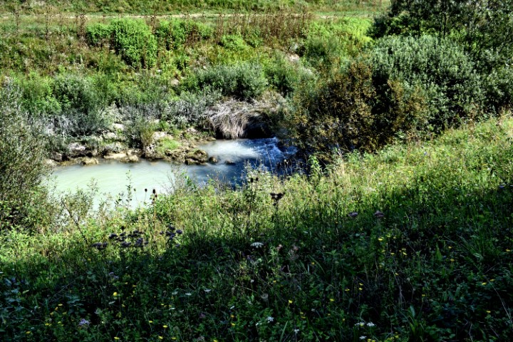
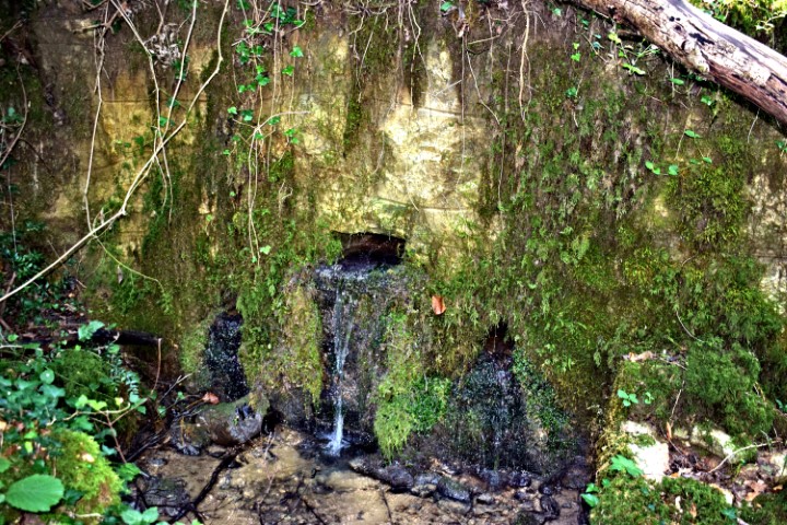
Name: Waterspring – stream Zenerin near Zudetići (II).
Place: Zudetići – (Vižinada).
Coordinates: 45.33783 N – 13.75284 E.
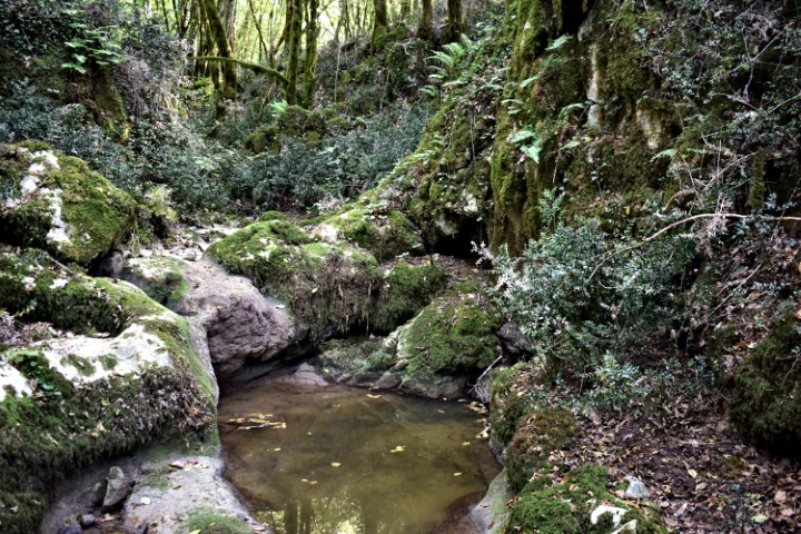
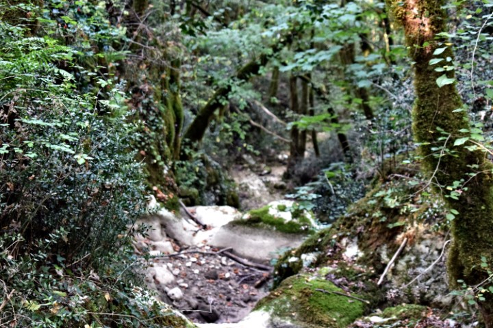
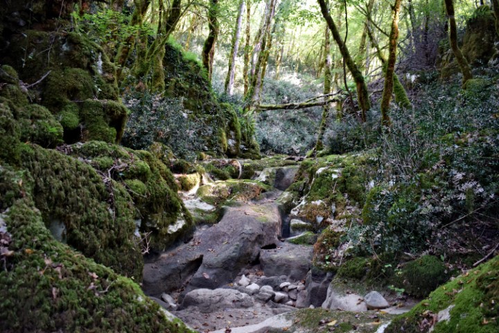
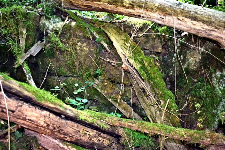
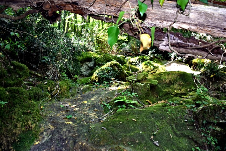
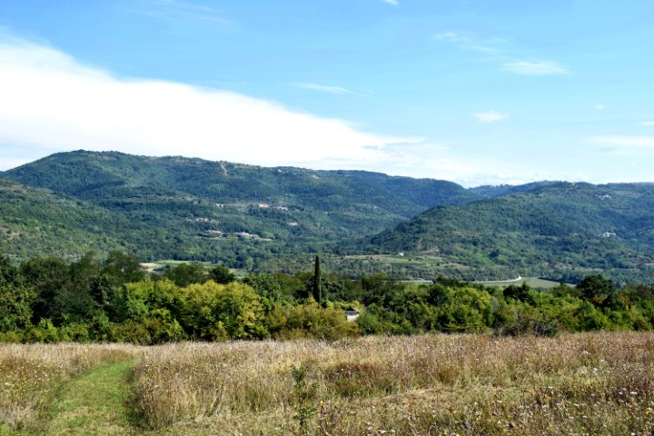
Name: Hiking trail to the waterspring Zenerin and the ruins Mašteliči.
Place: Mašteliči – (Vižinada).
Coordinates: Startpoint 45.34108 N – 13.75044 E, Waterspring Zenerin 45.33854 N – 13.76381 E, Maštelići 45.34082 N . 13.75903 E.
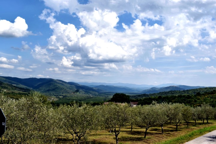
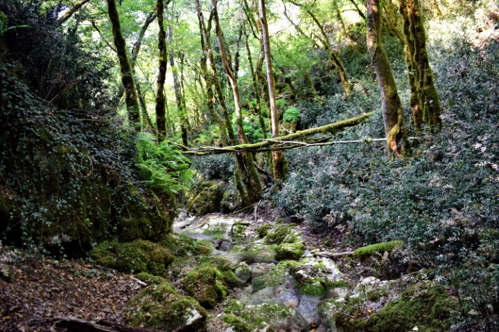
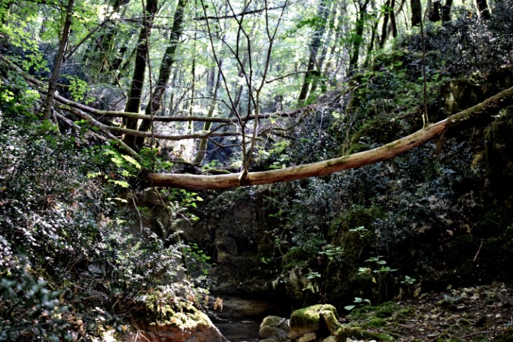
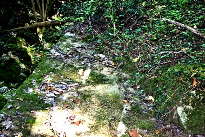
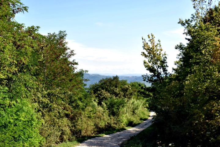
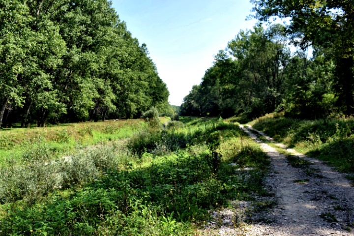
Name: Hiking trail Vižinada to the old village Trombal – river Mirna -Vižinada.
Place: Trombal – (Vižinada).
Coordinates: Start point 45.33561 N – 13.76117 E, ruins Trombal 45.45.34656 N -13.76726 E and 45.34643 N -13.76706 E, Mirna 45.34994 N -13.76103 E.