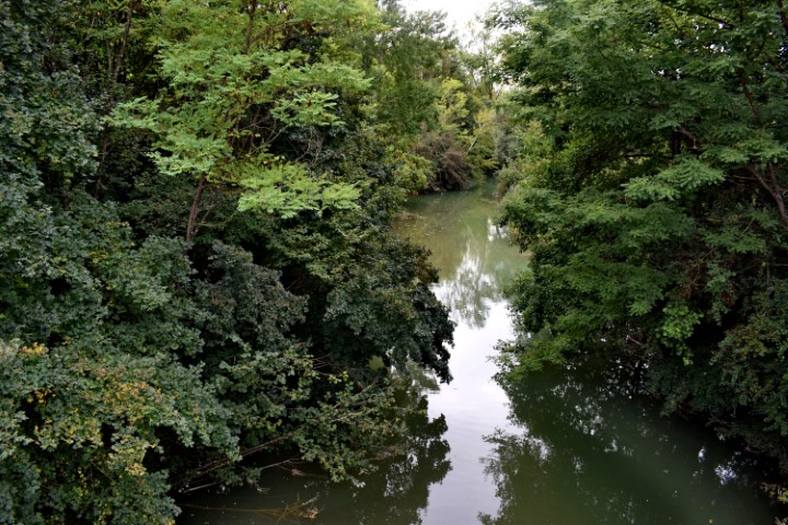
Name: Hiking trail from the bridge over the Pazinčki river near Dusani to Zarečki krov – waterfall.
Place:Near Dusani – near Zarećki – (Pazin).
Coordinates: from 45. 25041 N – 13.94906 E to 45.24900 N – 13.961300 E

Name: Hiking trail from the bridge over the Pazinčki river near Dusani to Zarečki krov – waterfall.
Place:Near Dusani – near Zarećki – (Pazin).
Coordinates: from 45. 25041 N – 13.94906 E to 45.24900 N – 13.961300 E
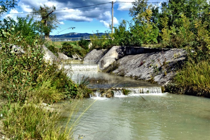
Name: Split Boljušćica stream and Rušanjski potok / Studena stream.
Place: Near Opatija – (Lupoglav).
Coordinates: 45.28163 N – 14.12322 E.
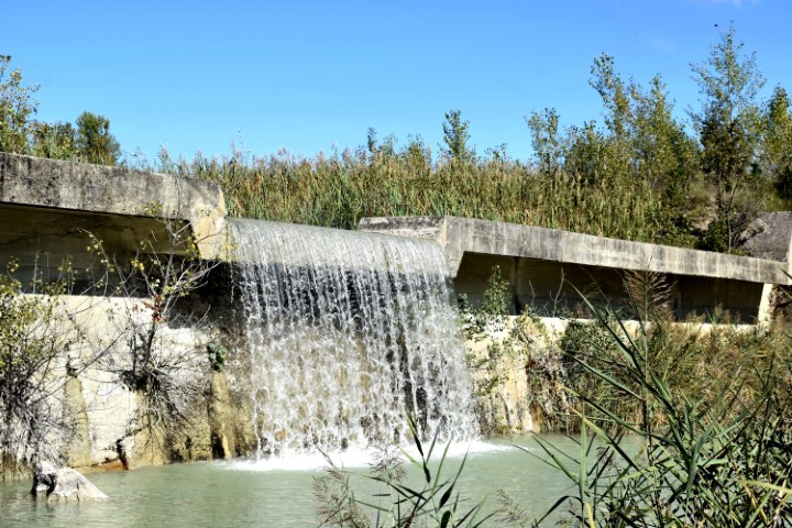
Name: Boljunšćica stream – Boljun.
Place: Boljun – (Lupoglav),
Coordinates: Boljunšćica stream 45.2886 N – 14.11917 E, Boljun 45.30171 N – 14.12117 E.
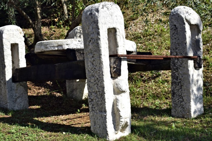
Name: Plomin – former watermills (224) – stream Fianona.
Place: Plomin – Malini – (Kršan)
Coordinates: 45.13972 N – 14.17578 E.
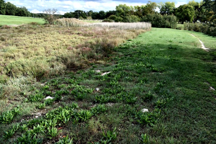
Name: Former watermill Poreč – Stream Molindrinje (129).
Place: Poreč – Parenzo.
Stream: Sv. Andel – Molandrija.
Coordinates: 45.2027 N – 13.59943 E.
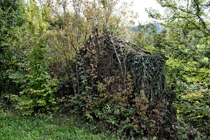
Name: Ruins two wheel watermill near Zonti (78) – river Mirna.
Place: Zonti – (Colmo, III 365) – (Buzet).
Coordinates: 45.41177 N – 13.90959 E.
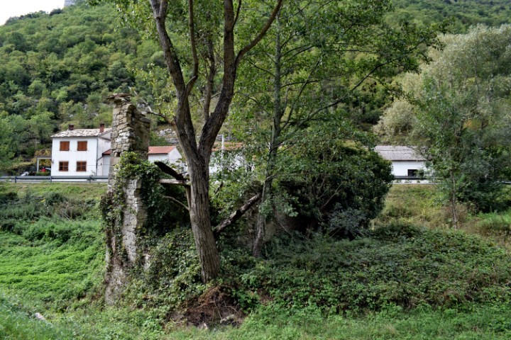
Name: Three wheel wheat watermill in Rušnjak (112) – river Mirna.
Place: Rušnjak – (Sdregna, XIII – 131) – Buzet.
Coordinates:45.38874 N – 13.89571 E.
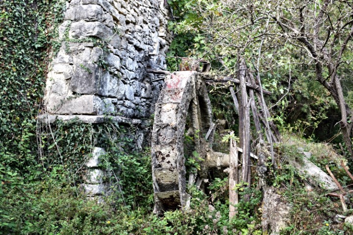
Name: Two wheels watermill in the village Mlini (74) – Rio Gradinavaz.
Place: Mlini – (Cernizza, V 50) – (Buzet).
Coordinates: 45.452302 N – ¸13.924034 E.
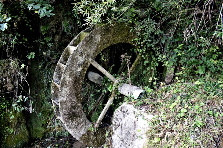
Name: Two wheel watermill in the village Mlini (73).
Place: Mlini – (Cernizza, II 85) – (Buzet).
Coordinates: 45.452448 N – 13.924301 E.
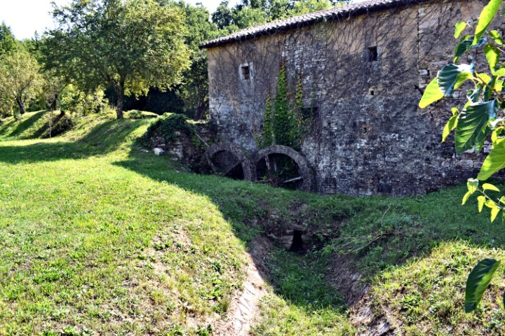
Name: Watermill Cebrijan near Kremenje.
Place: Cebrijan – Kremenje – (Buje).
Coordinates: 45.43477 N – 13.69215 E.