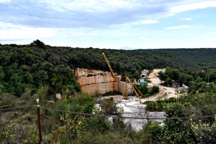
Name: Quarry Valtura.
Place: Near Valtur – (Ližnjan).
Coordinates: 44.89675 N – 13.9707 E

Name: Quarry Valtura.
Place: Near Valtur – (Ližnjan).
Coordinates: 44.89675 N – 13.9707 E
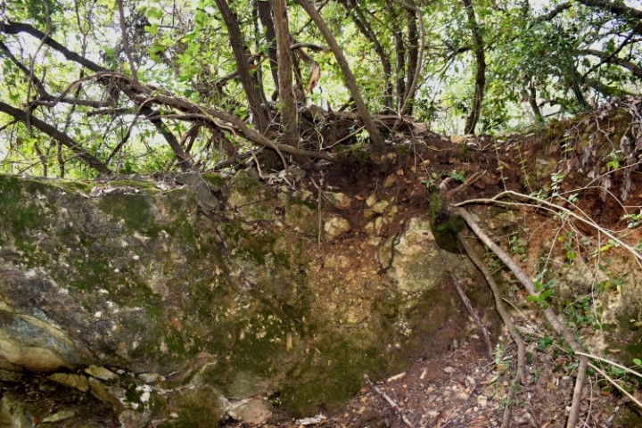
Name: Hiking trail Kozarica.
Place: Near Kloštar – (Vrsar).
Coordinates: Startpoint trail 45.14127 N – 13.70763 E, Limski Canal: 45.13709 N – 13.71135 E
From the hill view of the bay Rasa, U Luka and the island Ubac and Tunarica.
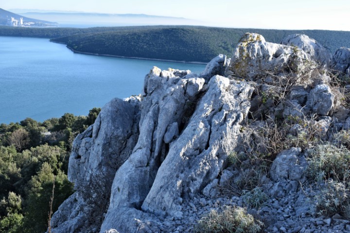
Name: Hiking trail from the rocky hill Plenica (149 meters) to the bay U. Luka.
Place: Krcina – (Marčana).
Coordinates:
Starting point: 44.97533 N – 14.051403 E.
Transmission tower: 44.973894 N – 14.058778 E.
Quarry on the slope of the hill with puddle: 44.97494 N – 14.06287 E (95 meters).
Path upwards: 44.978413 N -14.064131 E
End Strnina: 44.98496 N – 14.05989 E.
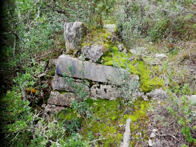
Name: Hiking trail Nature park Kontija to Lim Canal.
Place: Kloštar – (Vrsar).
Coordinates:
Starting point: 45.14061 N – 13.70417 E (Benedictine monastery of St. Mihovel na Lim), Puddle / small pit: 45.14055 N – 13.69537 E. Small quarry: 45.14054 N -13.69435 E, Point of view Lim Canal: 45.13714 N – 13.69357 E, Viewpoint : 45.13722 N – 13.69900 E, Coast Lim wit remains of a pier and (roman) ruins, Pit with small cave: 45.13899 N -13.69546 E.
See also the post dated 2019-09-08.
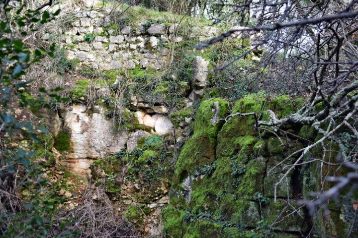
Name: Quarry Monte Ricco
Place: Stancija Velika – (Vrsar).
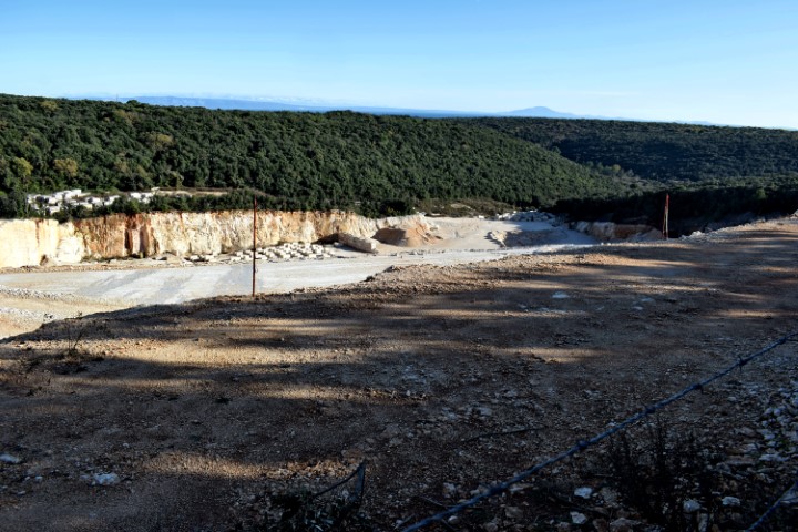
Name: Quarry near Valtura – hill Salaruga.
Place: Valtura – (Ližnjan).
Coordinates: 44.89518 N – 13.97008 E.
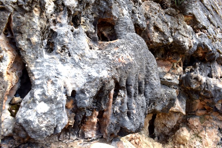
Name: Monte Rricco -Quarry.
Place: Stancija Velika – (Vrsar).
Coordinates:
27105: 45.15706 N – 13.62544 E. 71 m.
27107: 45.15701 N – 13.62604 E. 73 m.
2711o: 45.15681 N – 13.62689 E. 79 m.
27124: 45.15647 N – 13.62531 E. 61 m.