Trail to the Kamenolom Stjepan and the Church Stjepan.


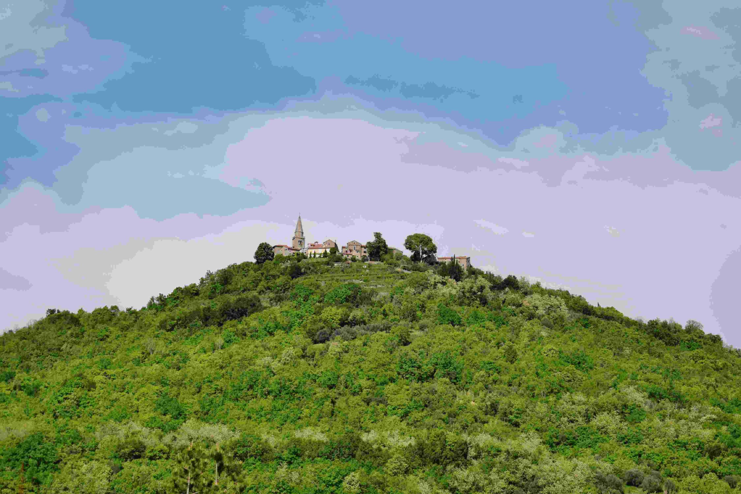
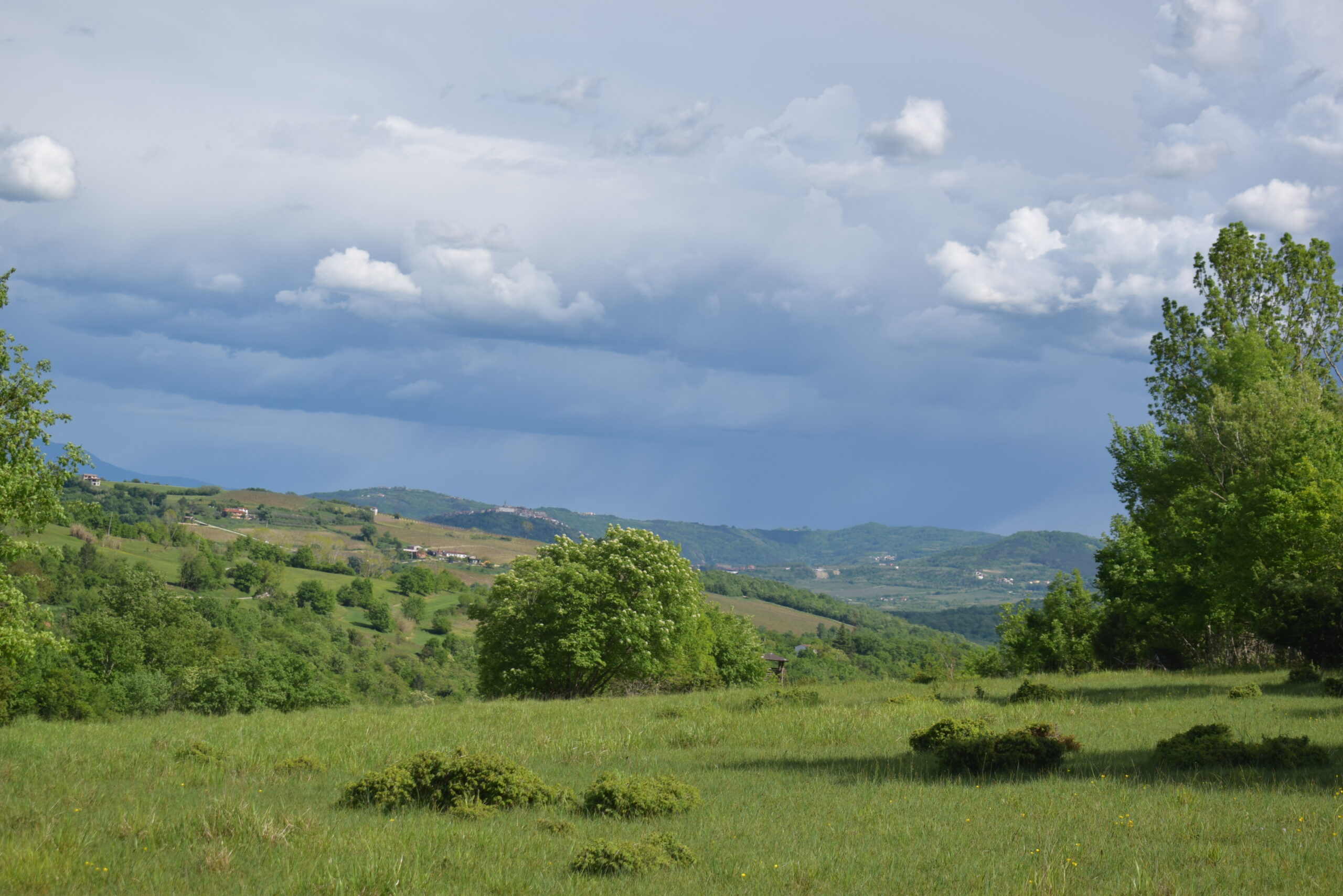
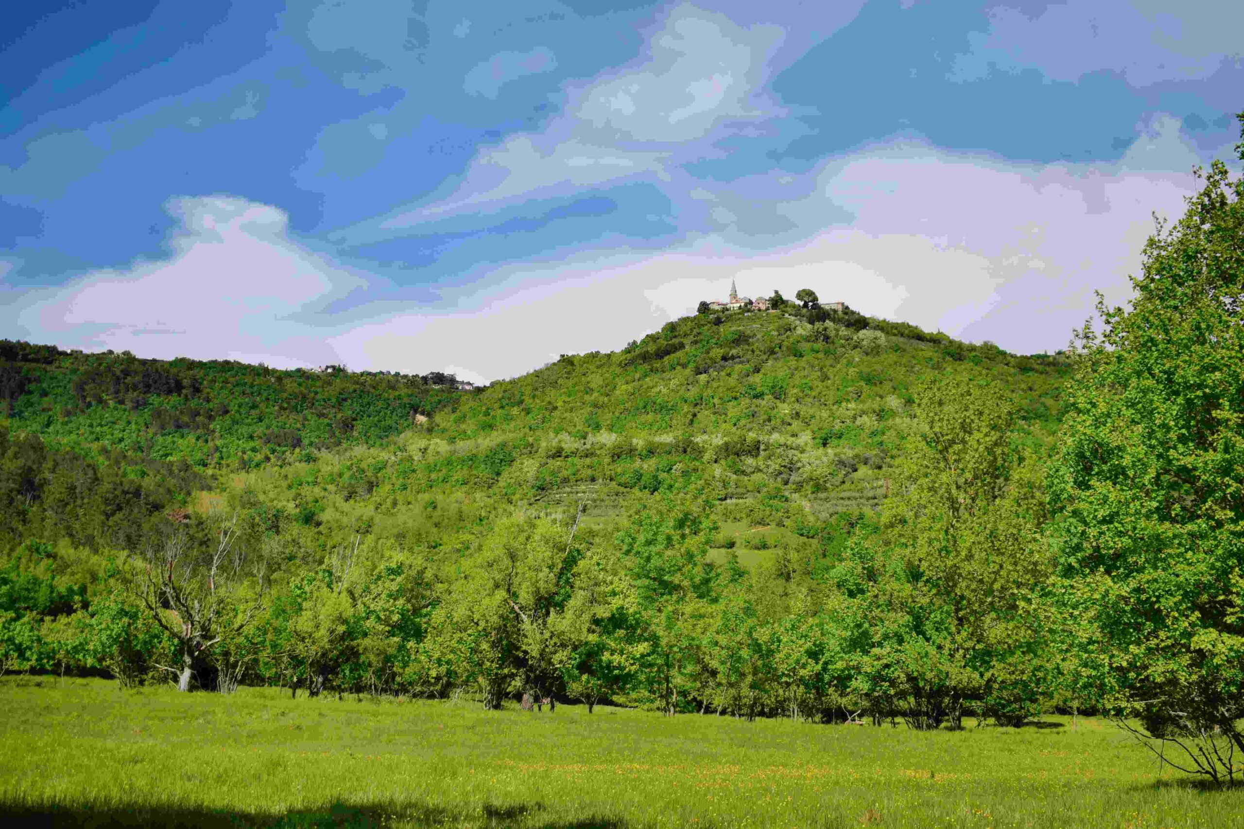
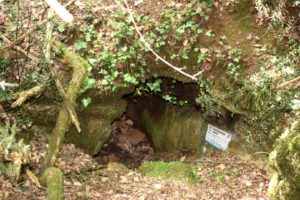
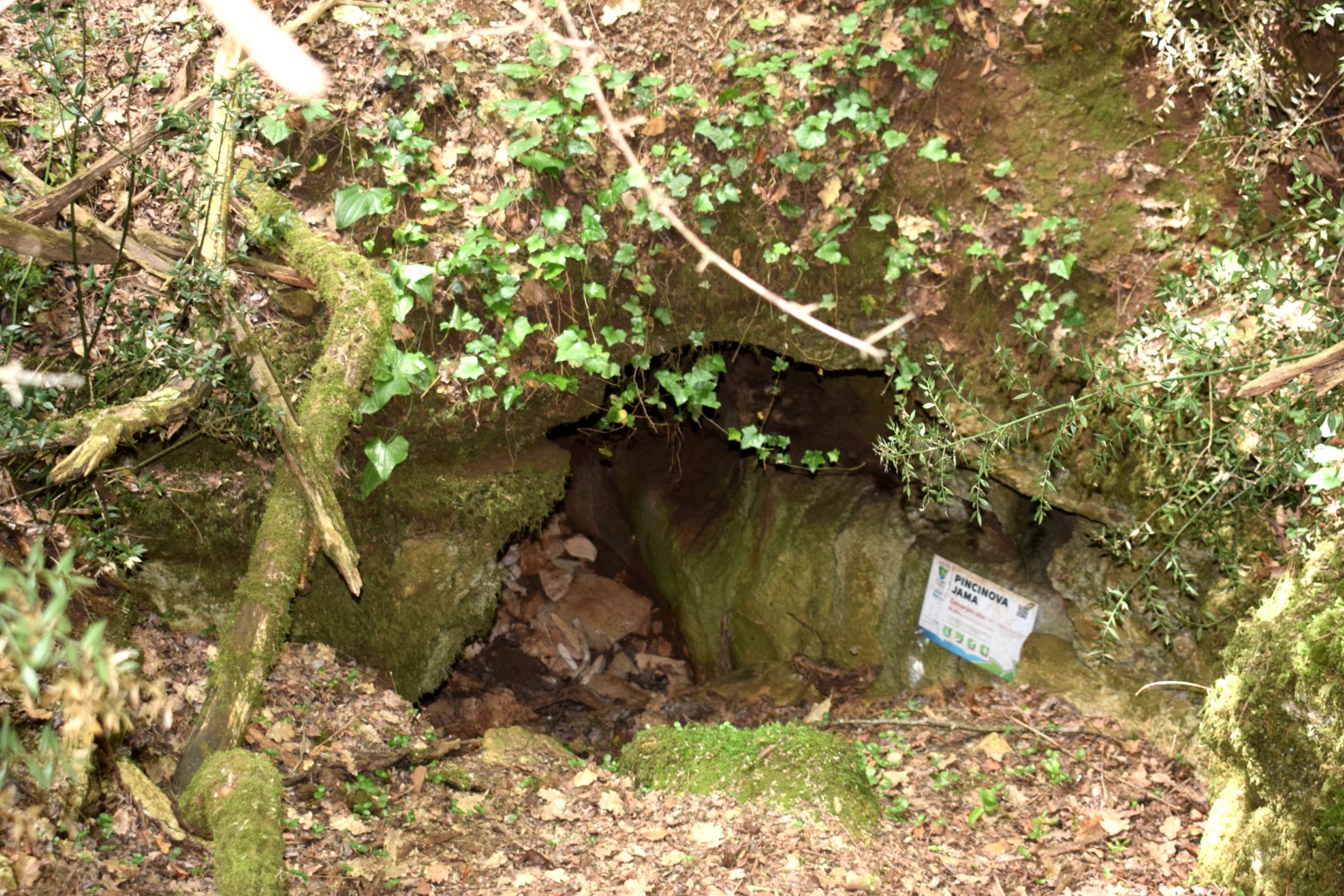
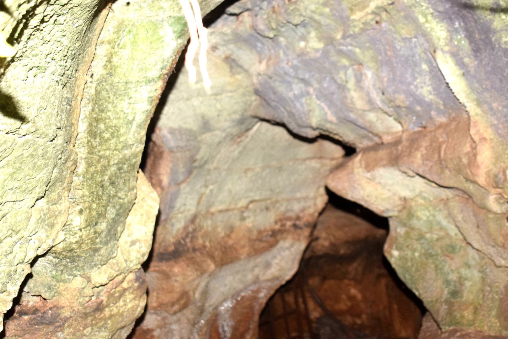
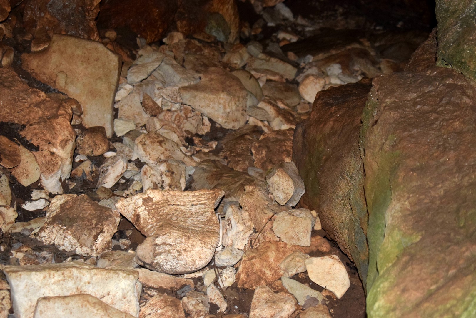
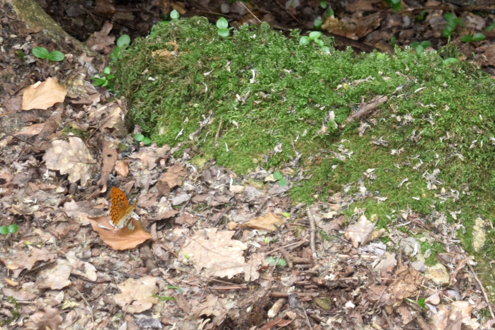
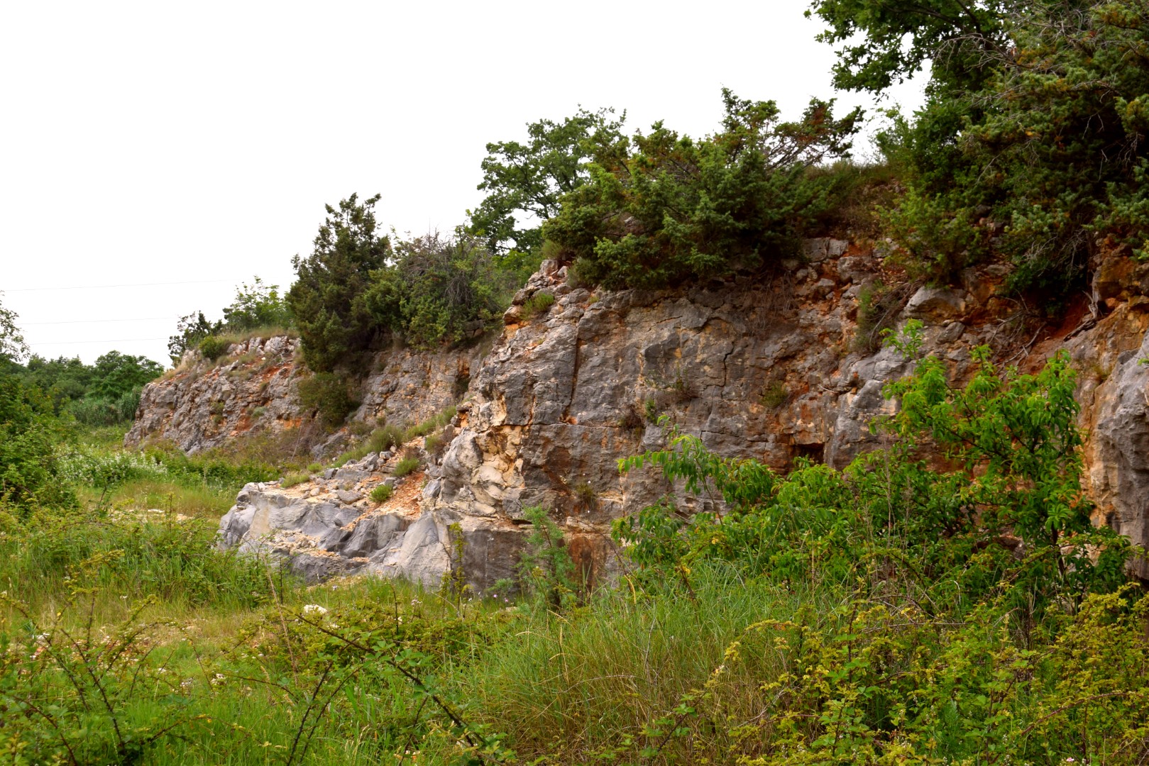
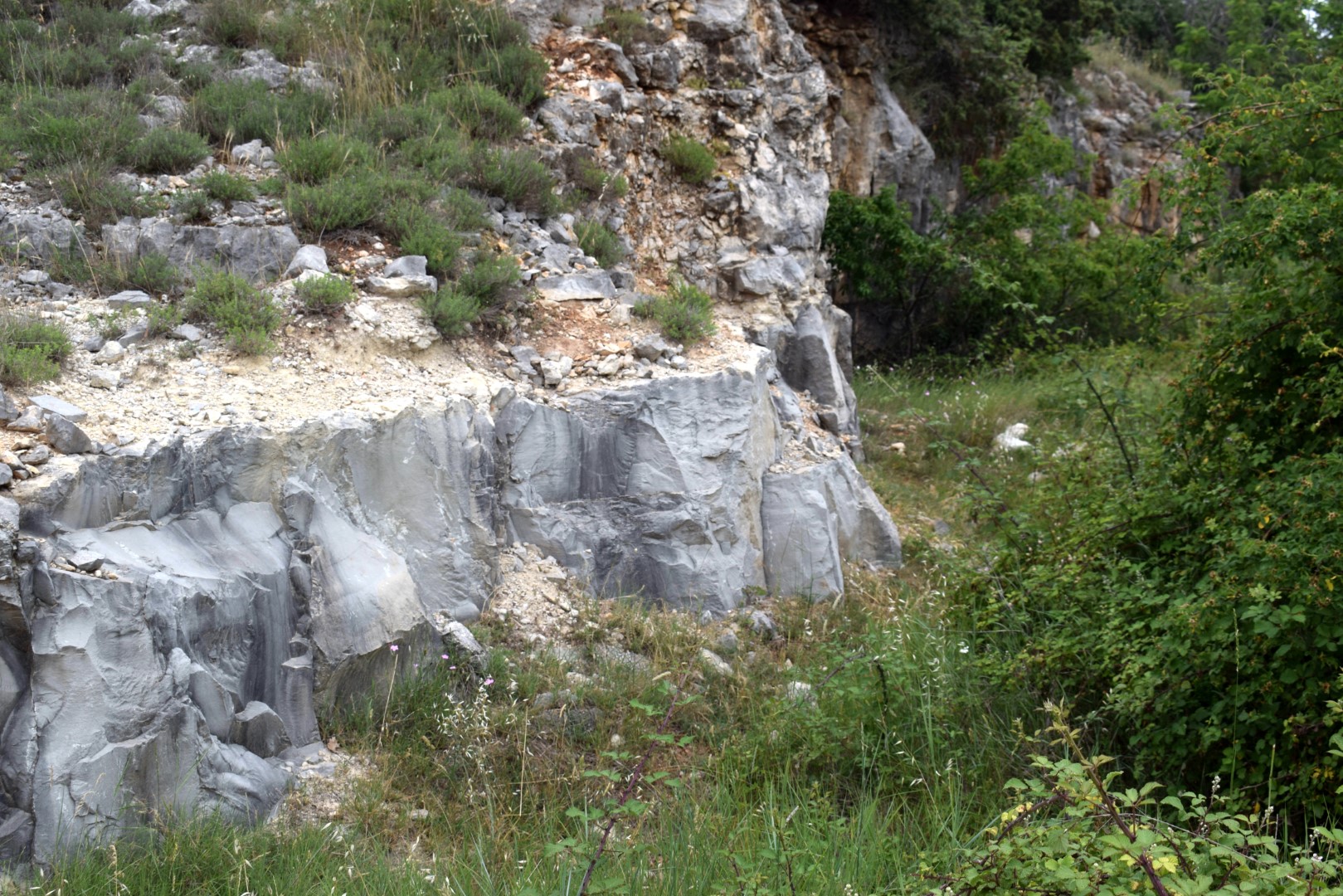
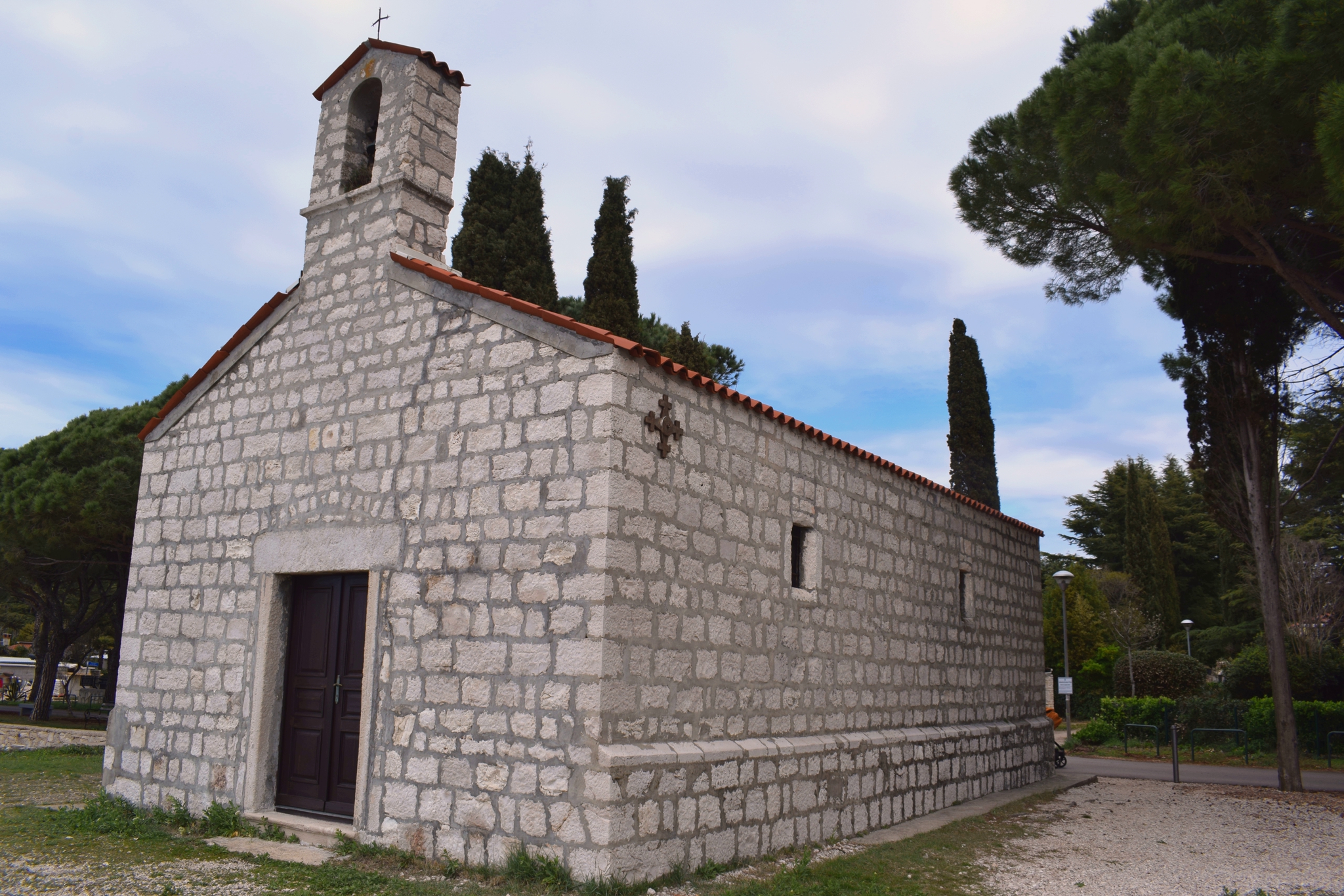
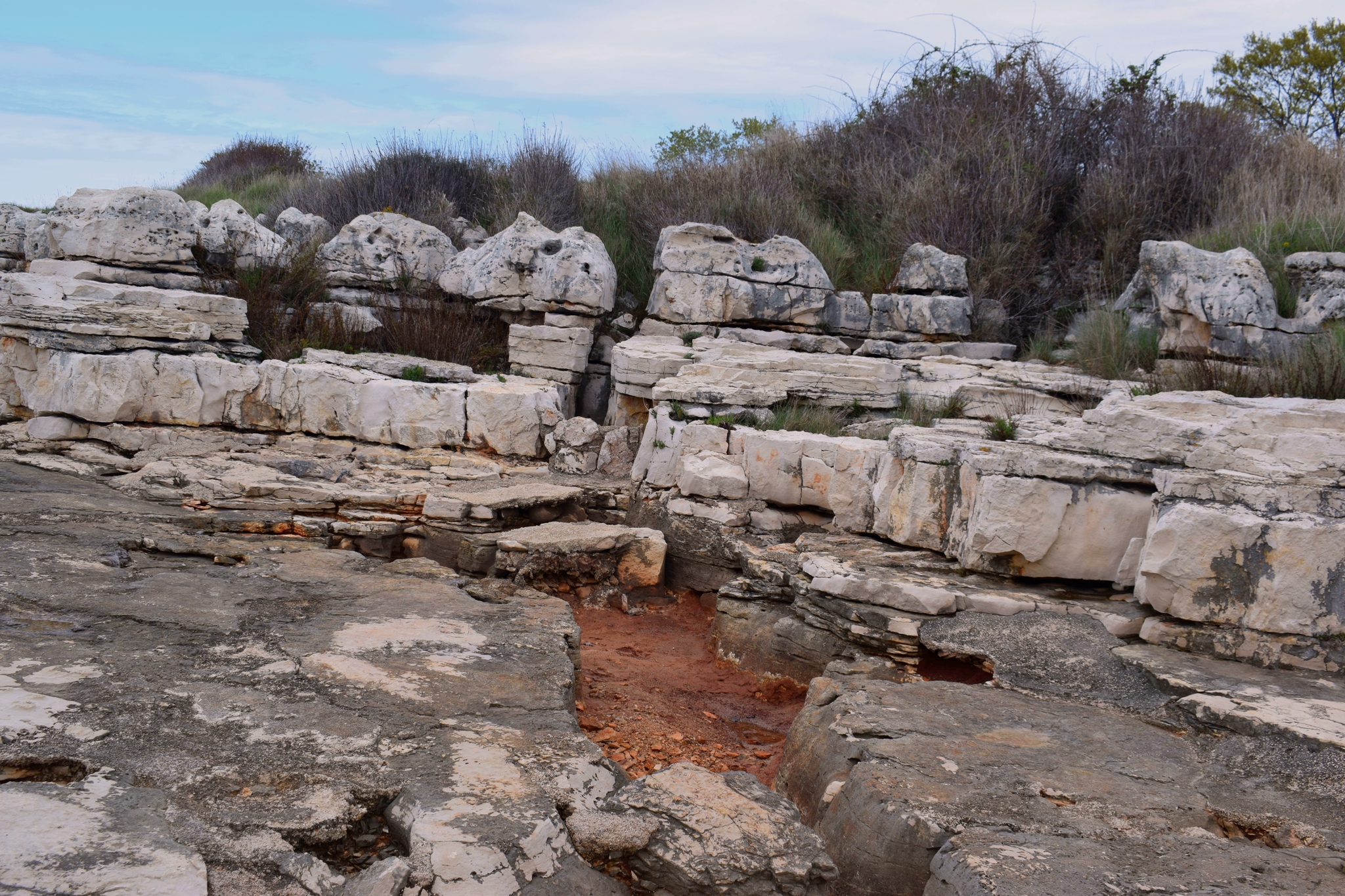
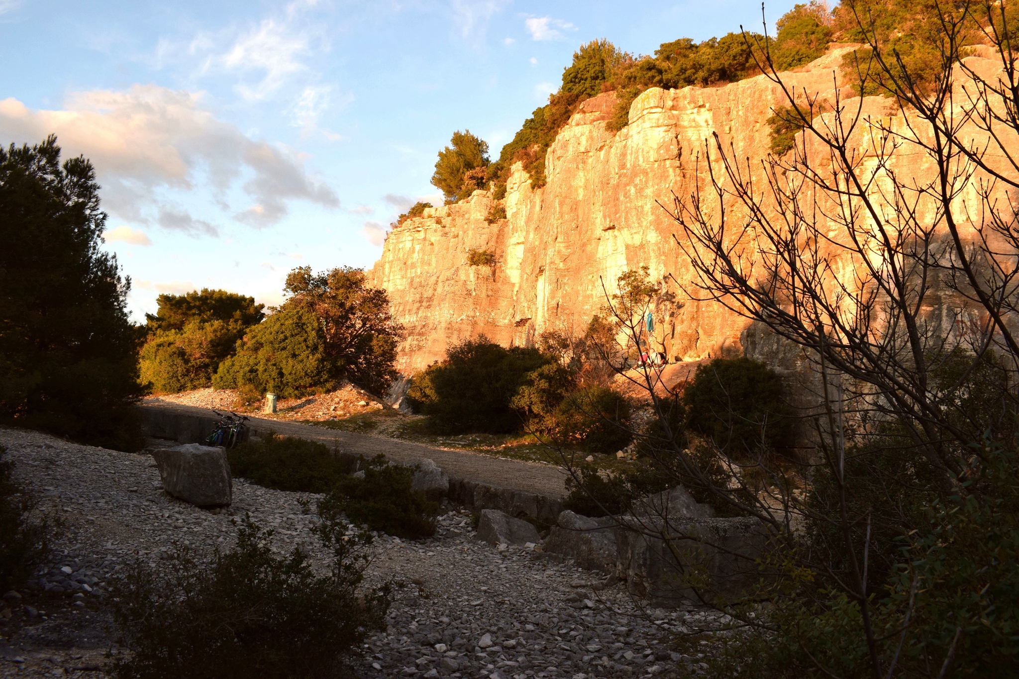
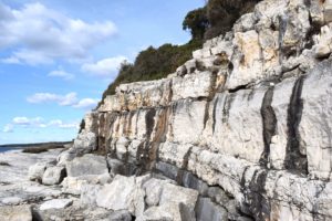
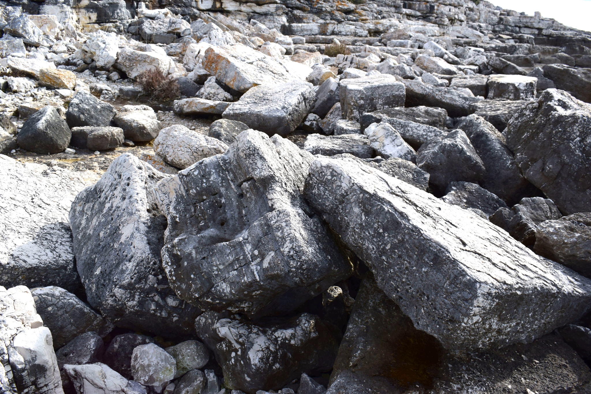
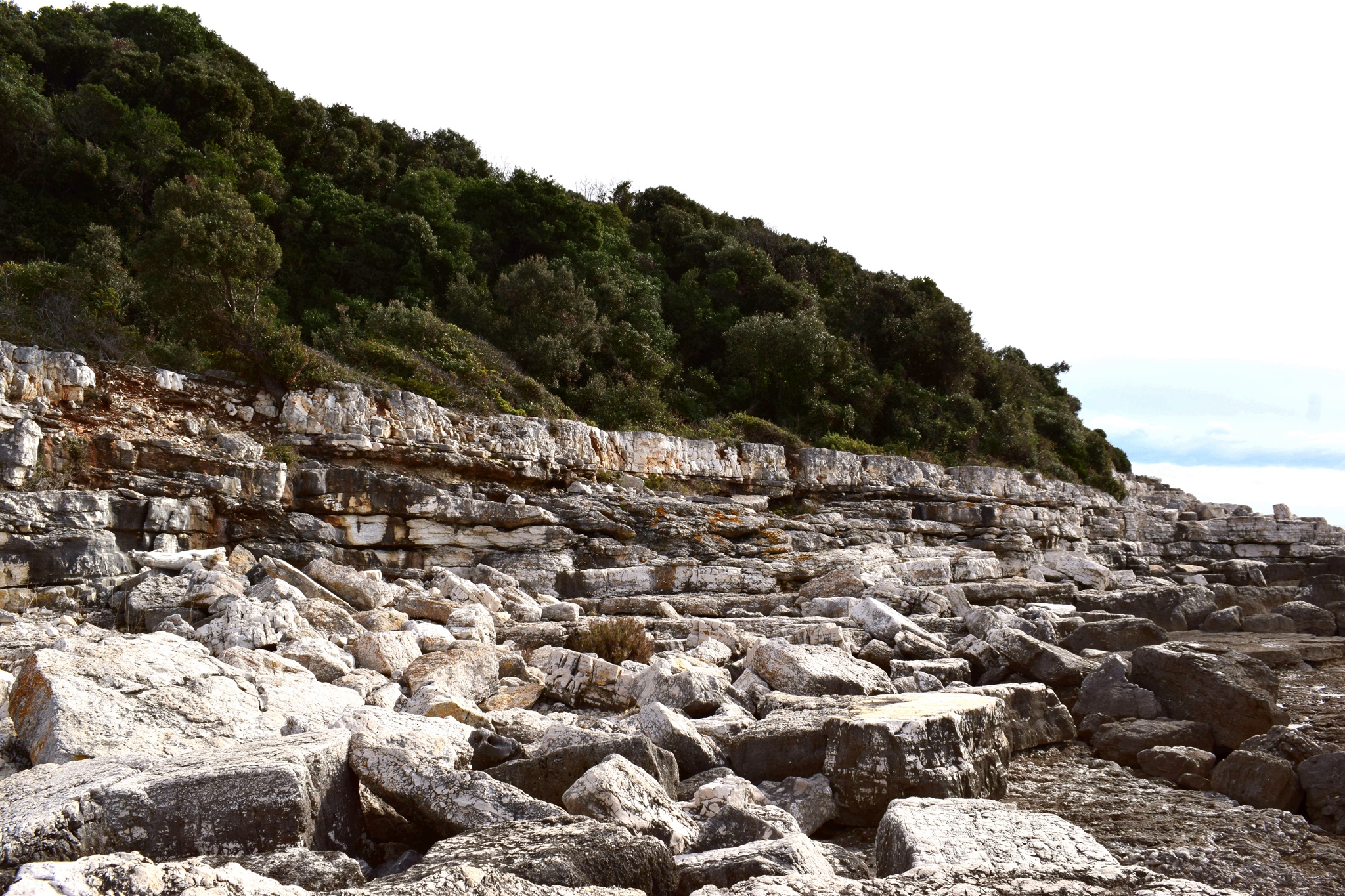
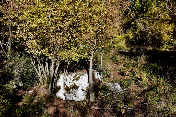
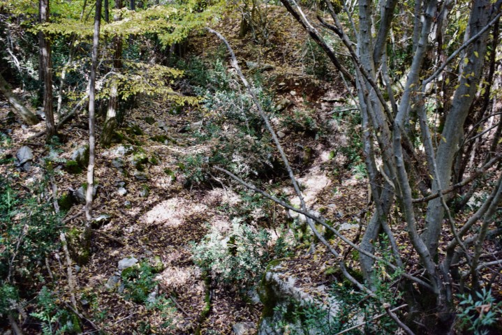
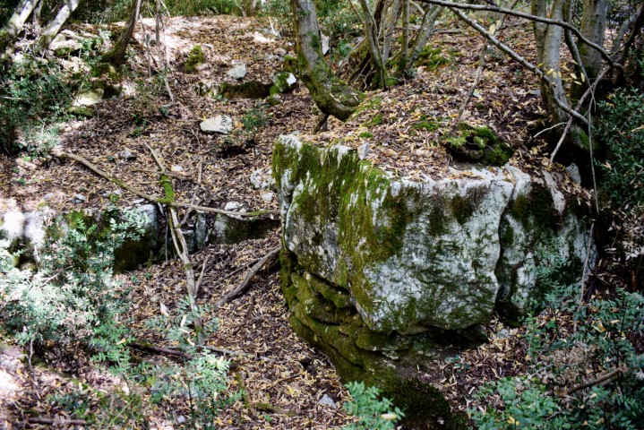
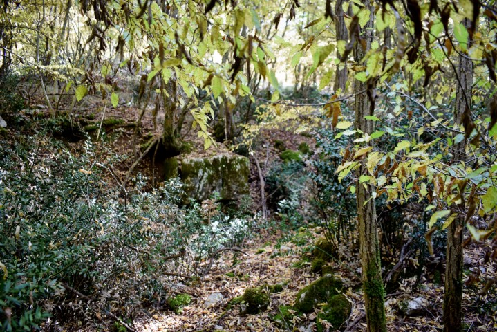
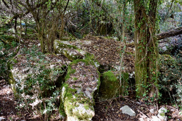
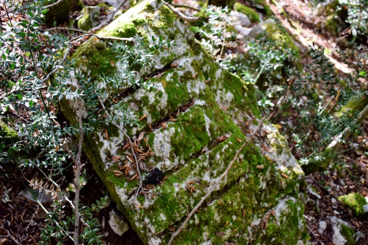
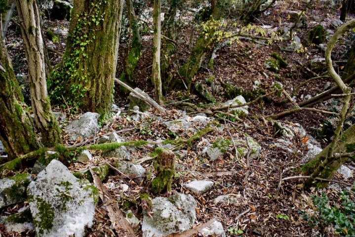
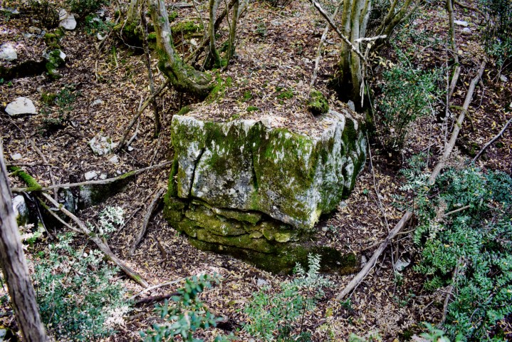
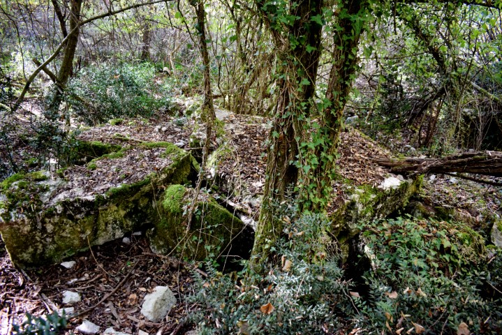
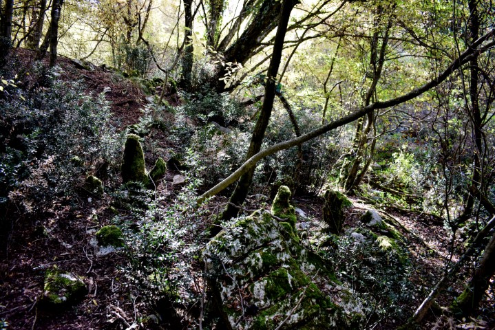
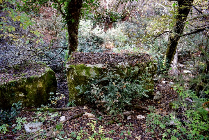
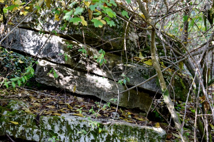
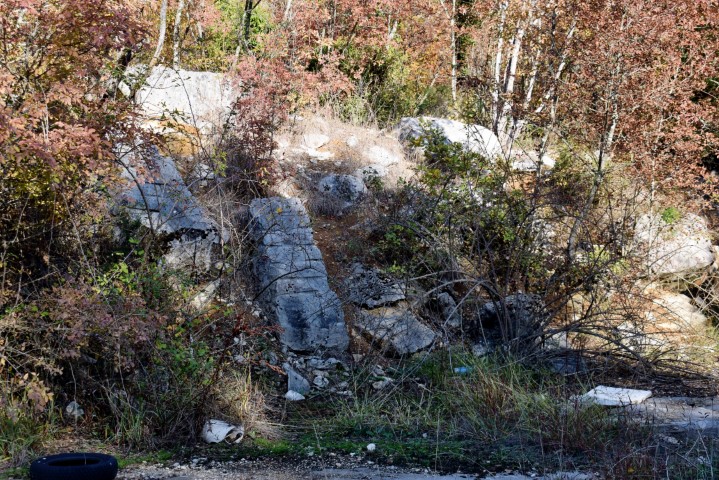
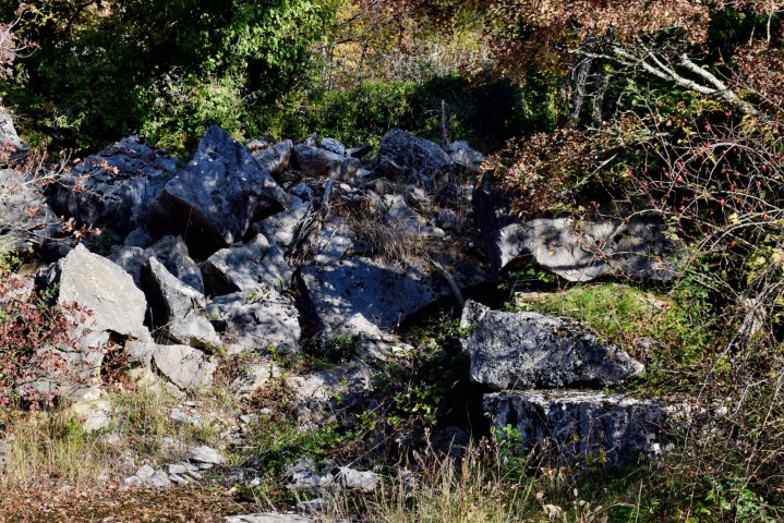
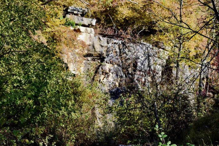
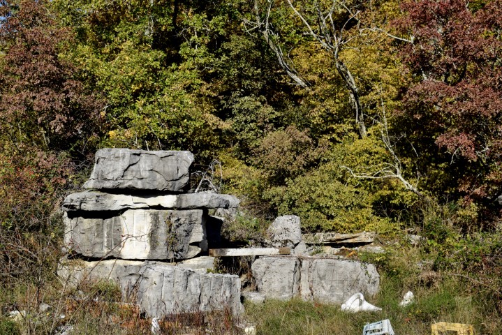
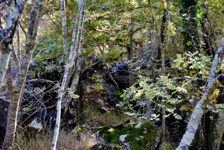
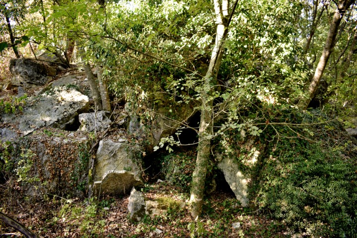
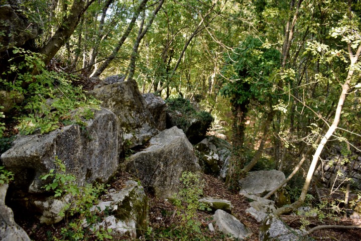
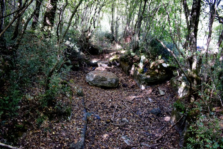
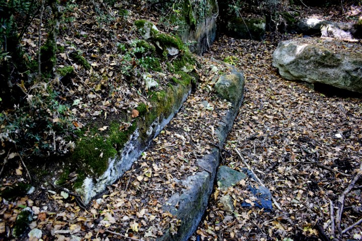
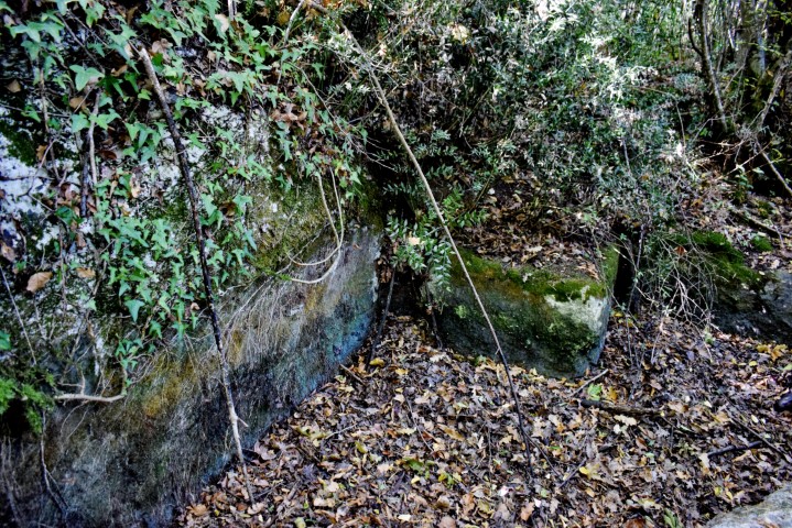
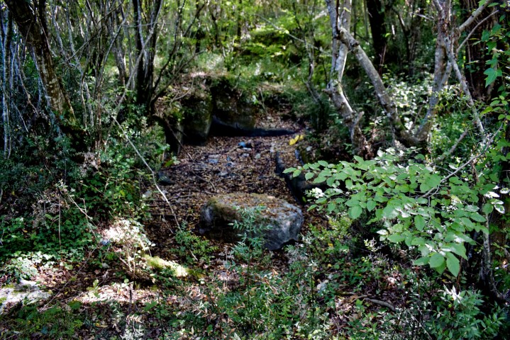
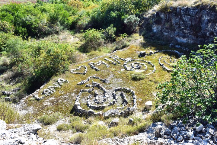
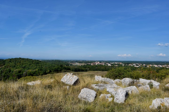
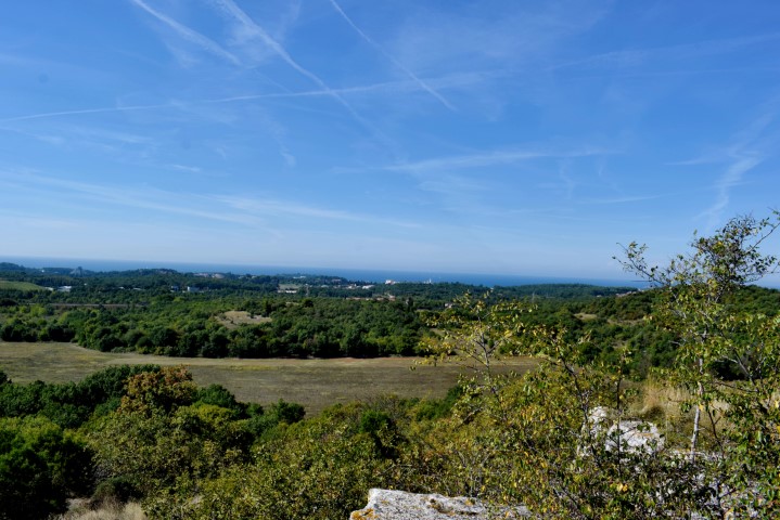
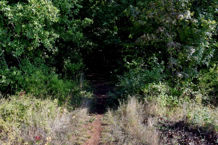
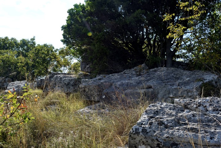
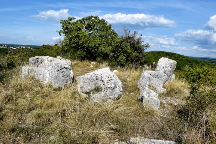
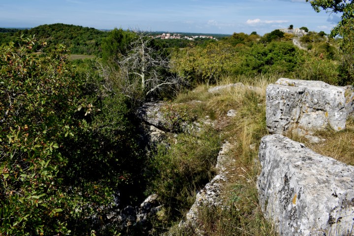
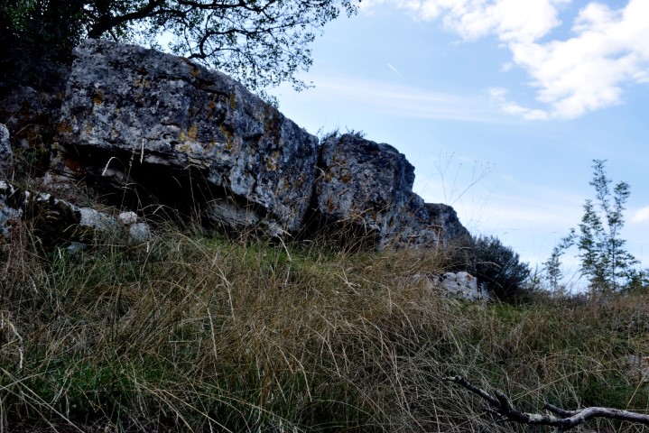
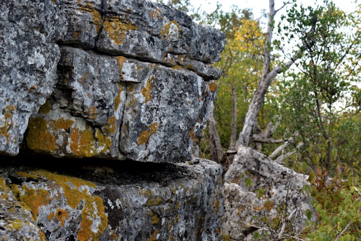
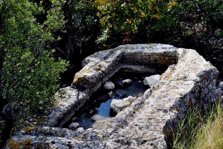
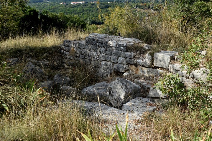
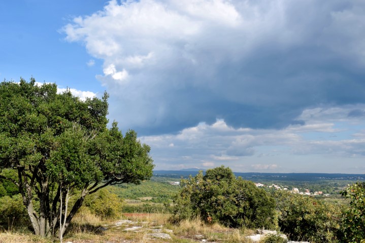
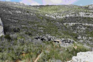
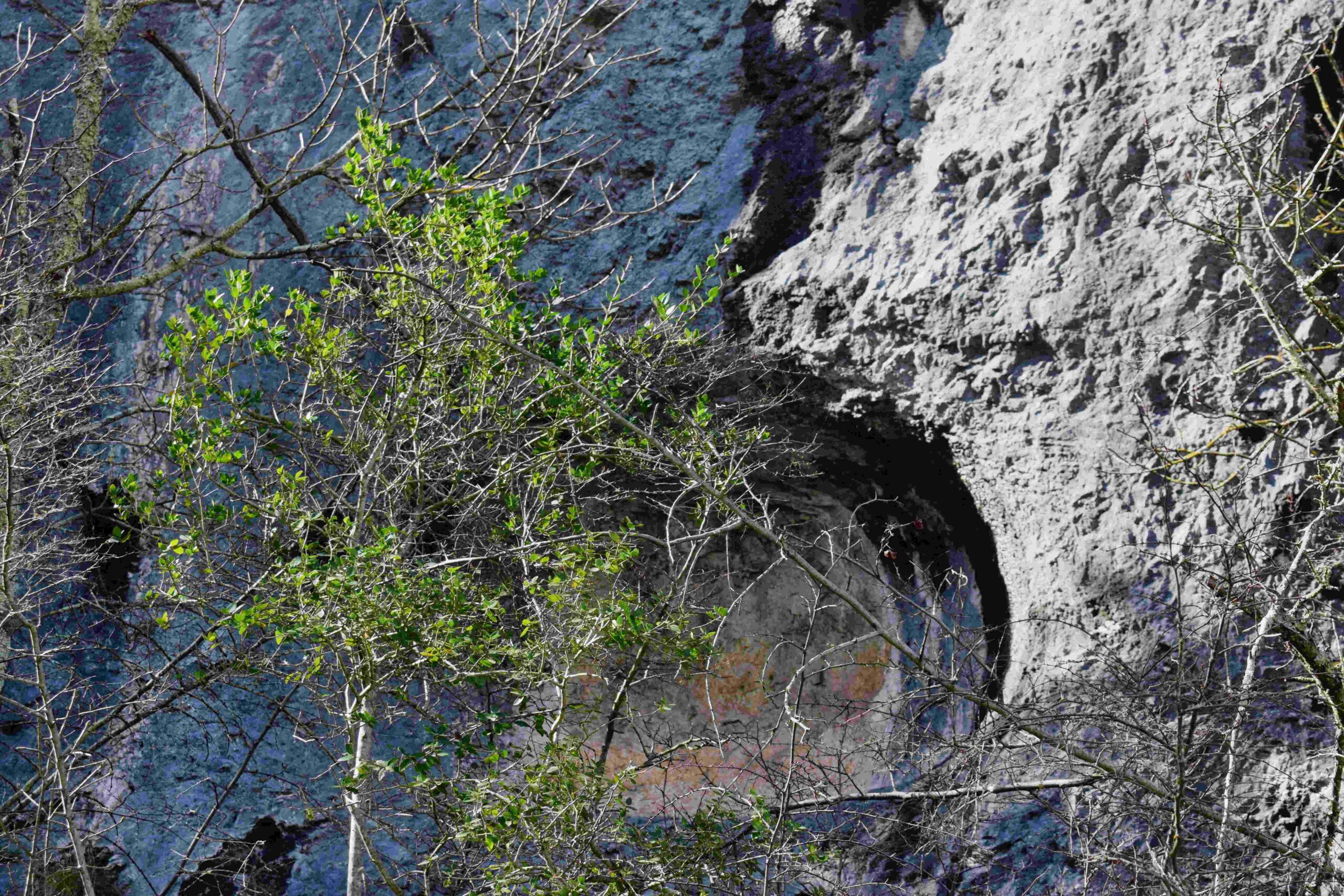
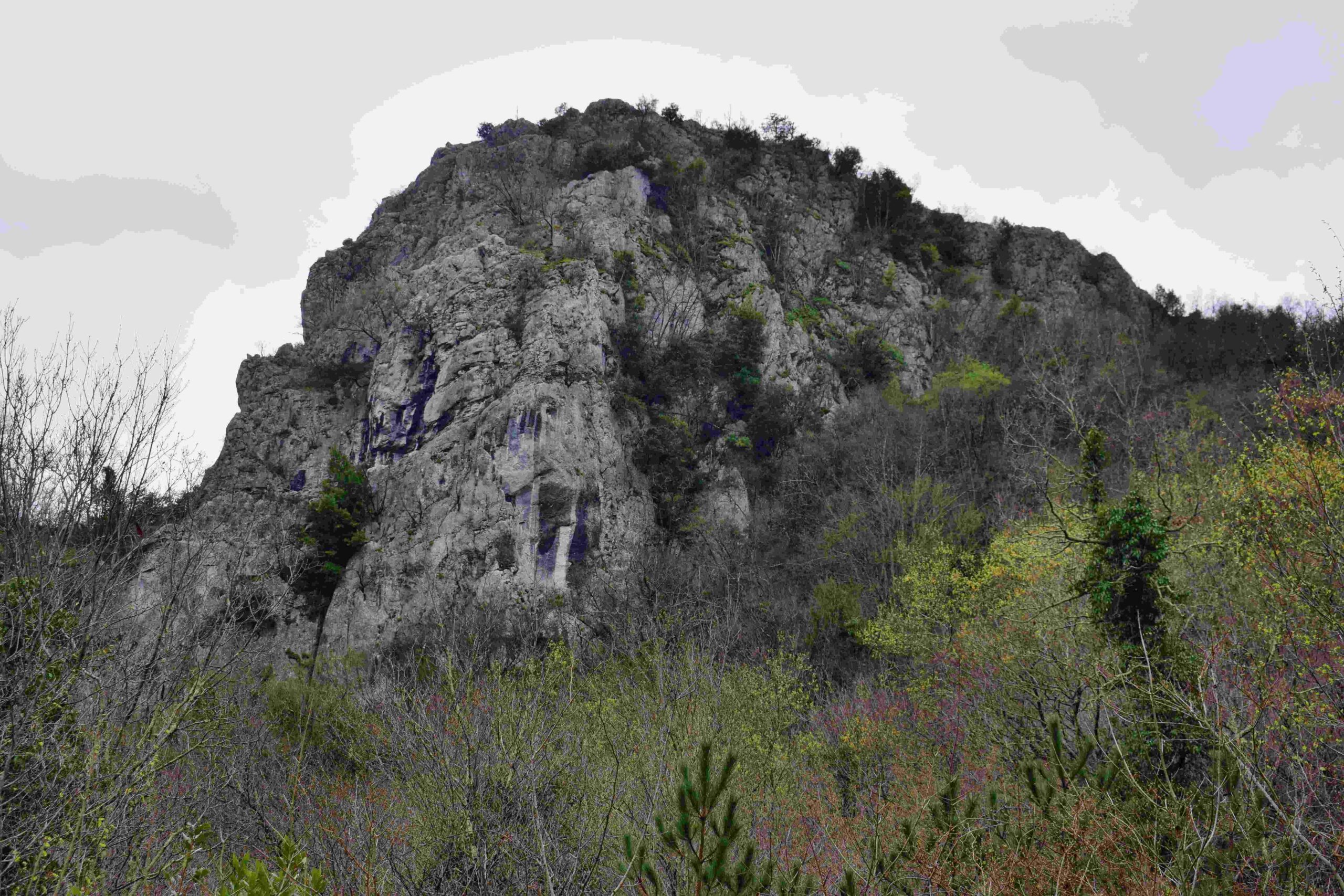
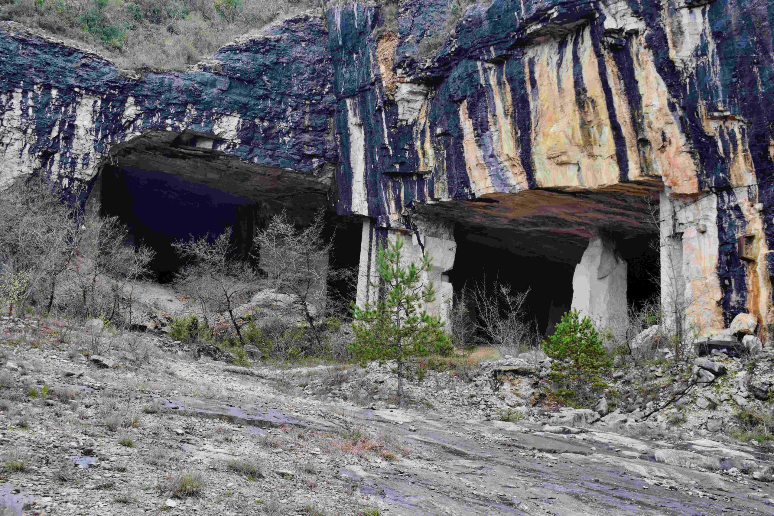
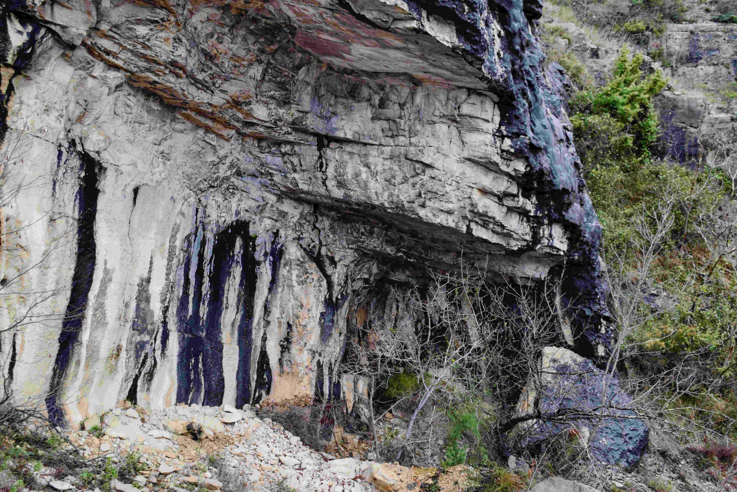
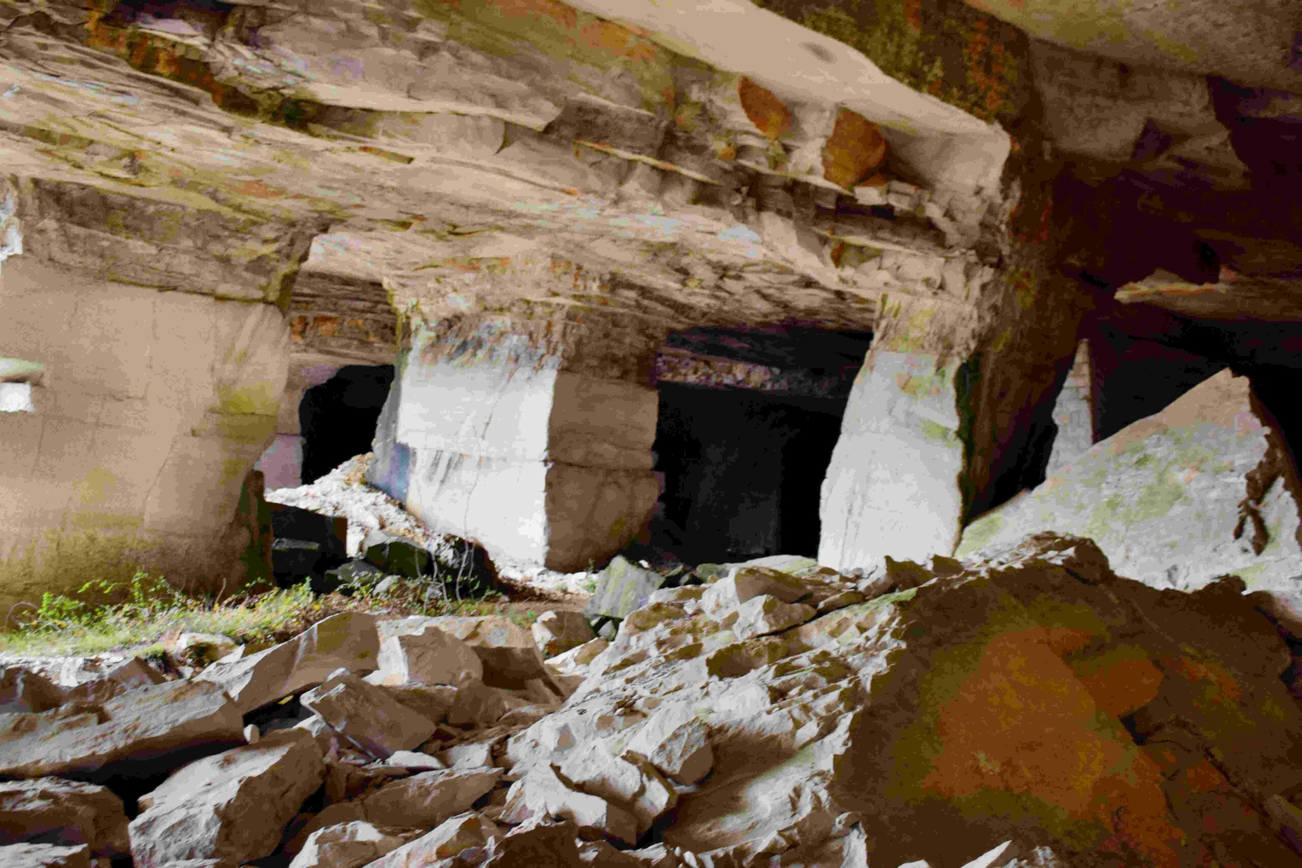
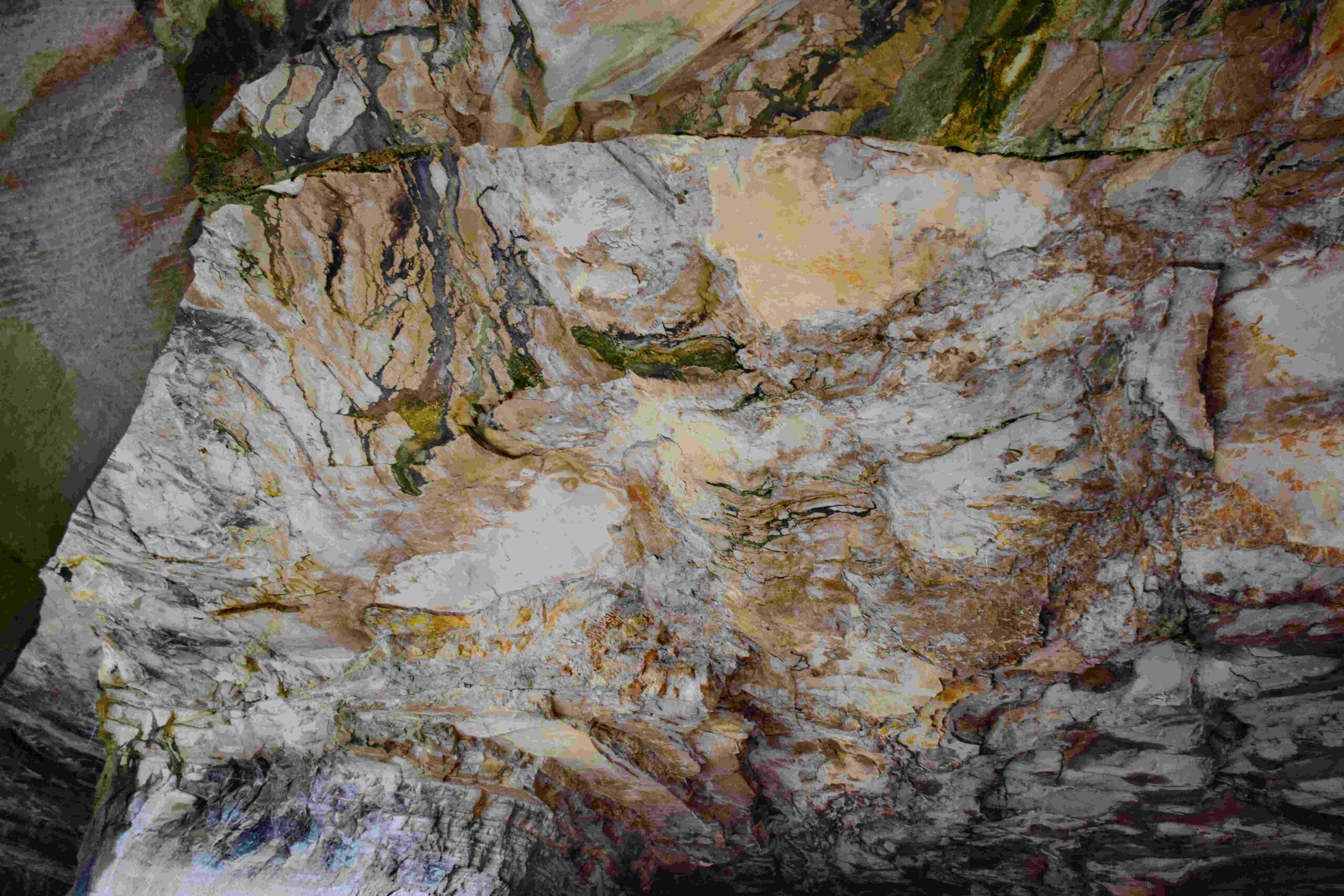
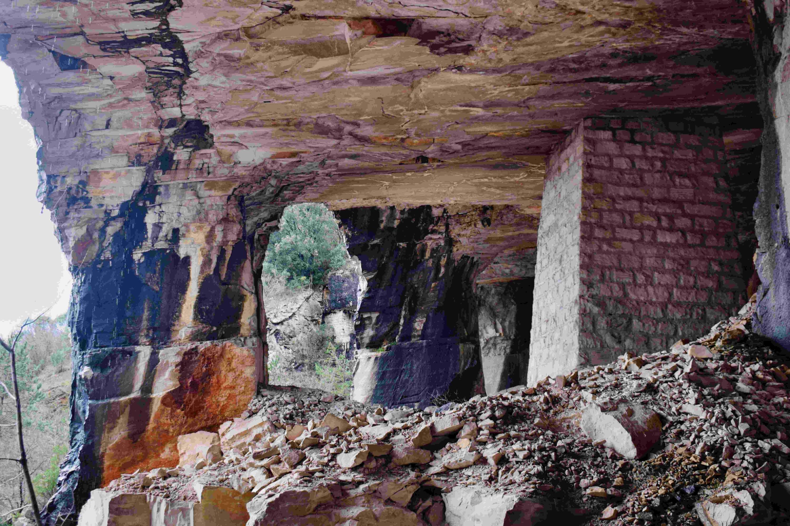
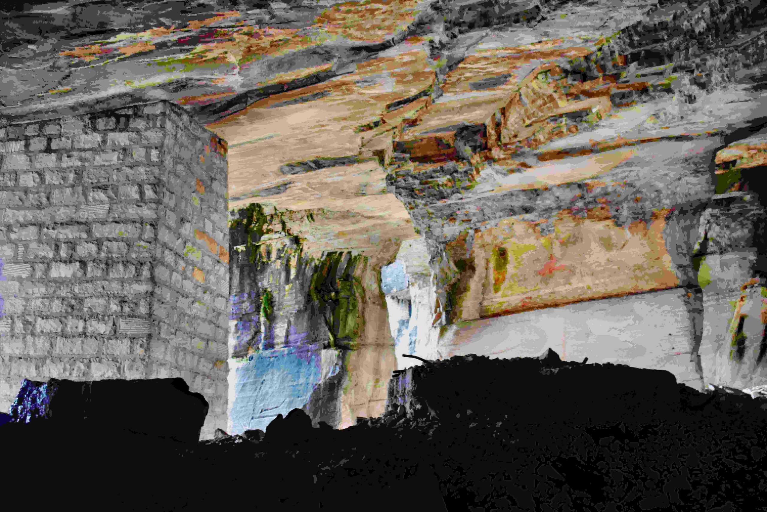
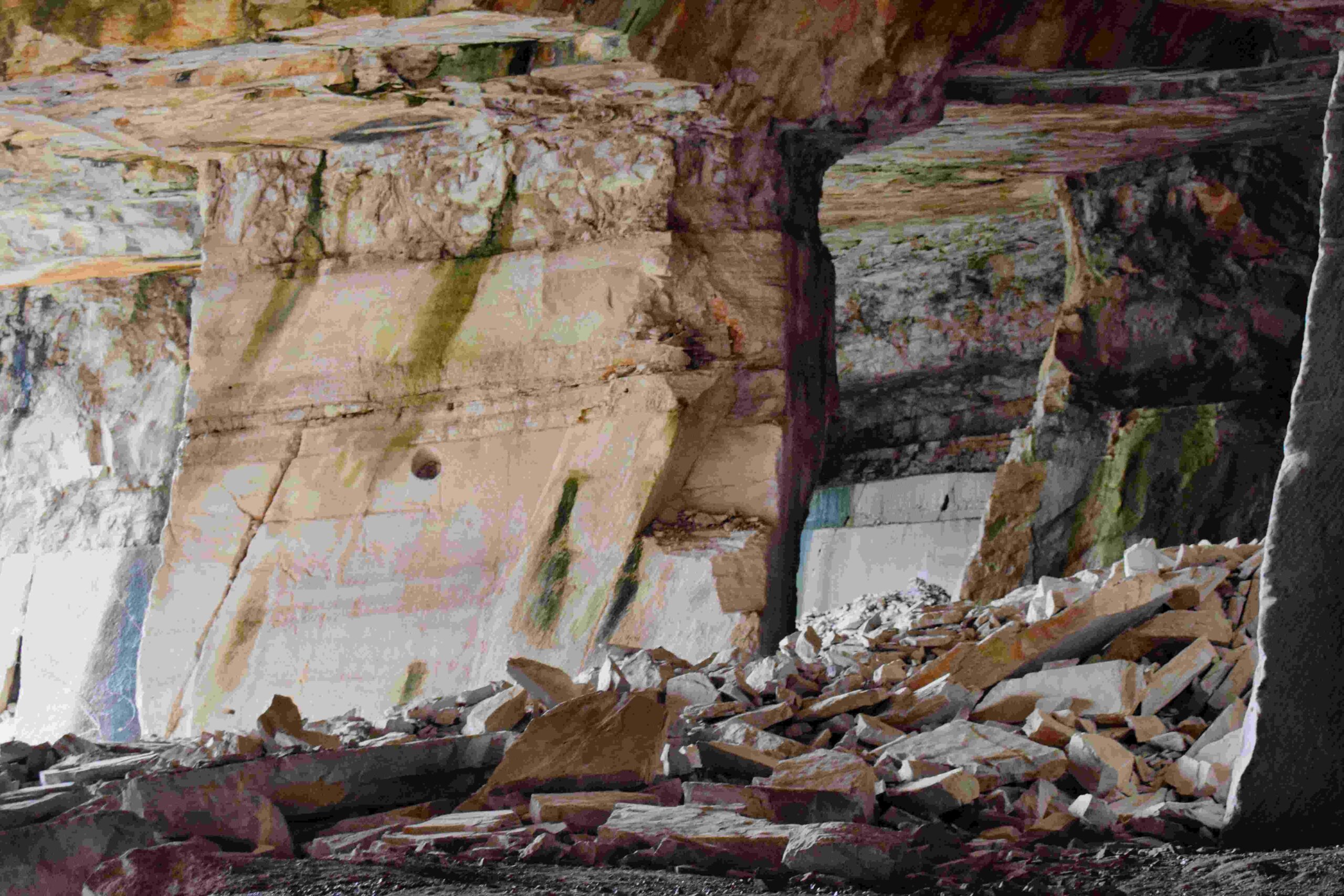
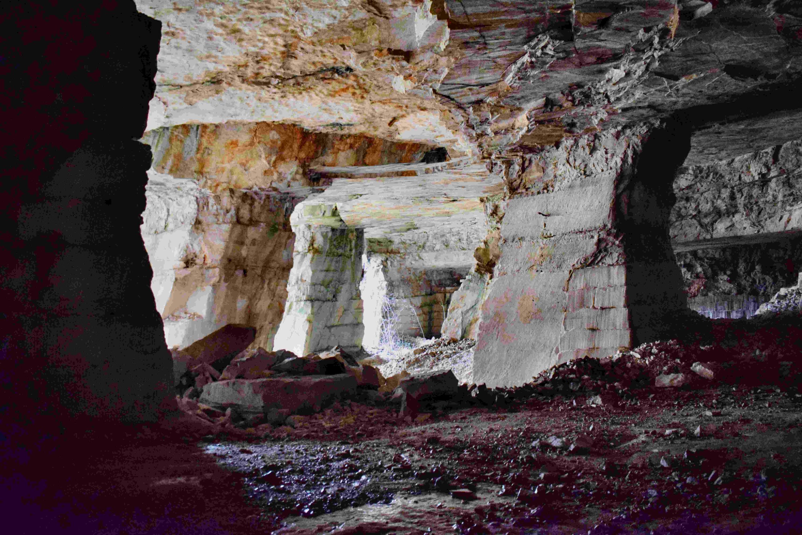
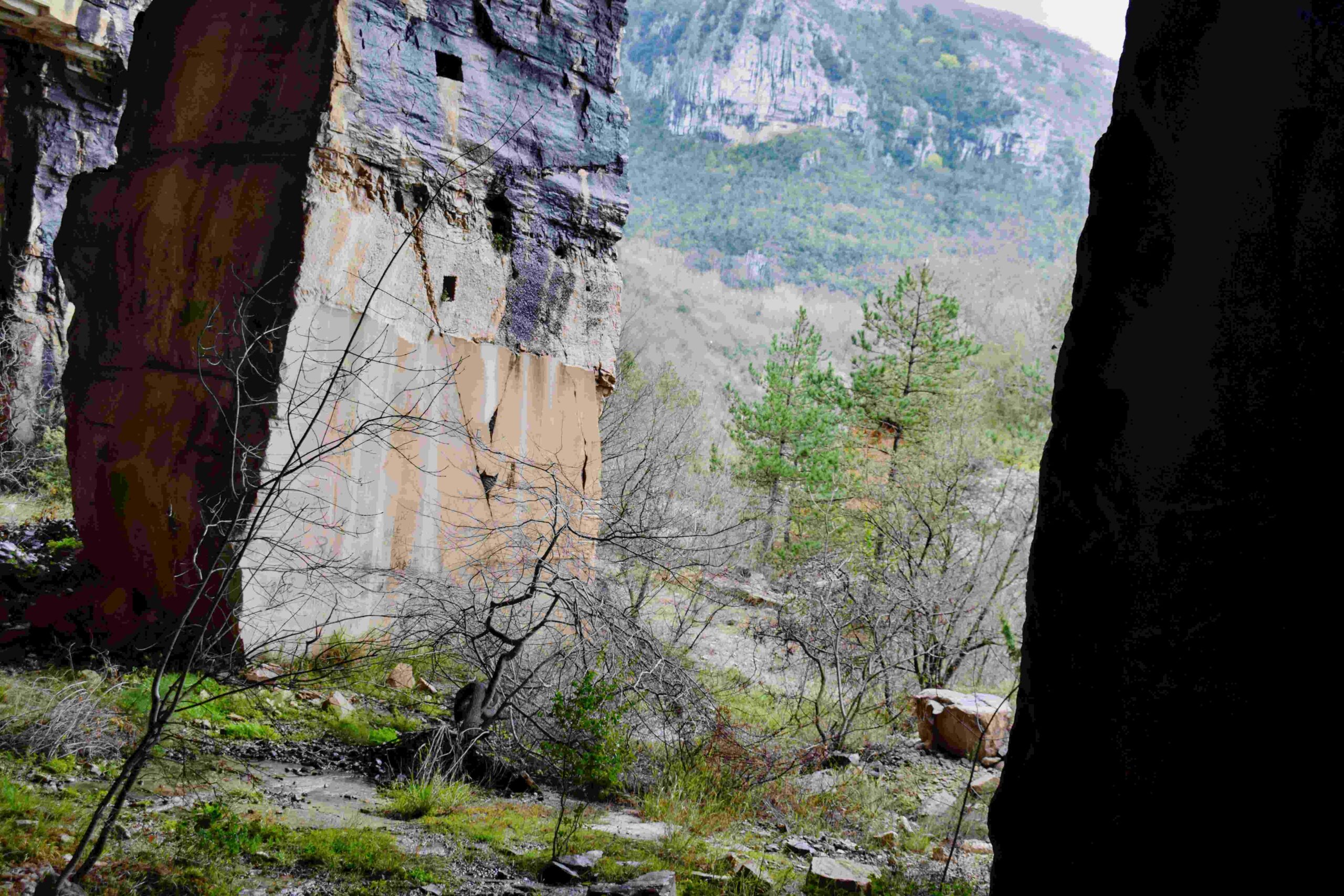
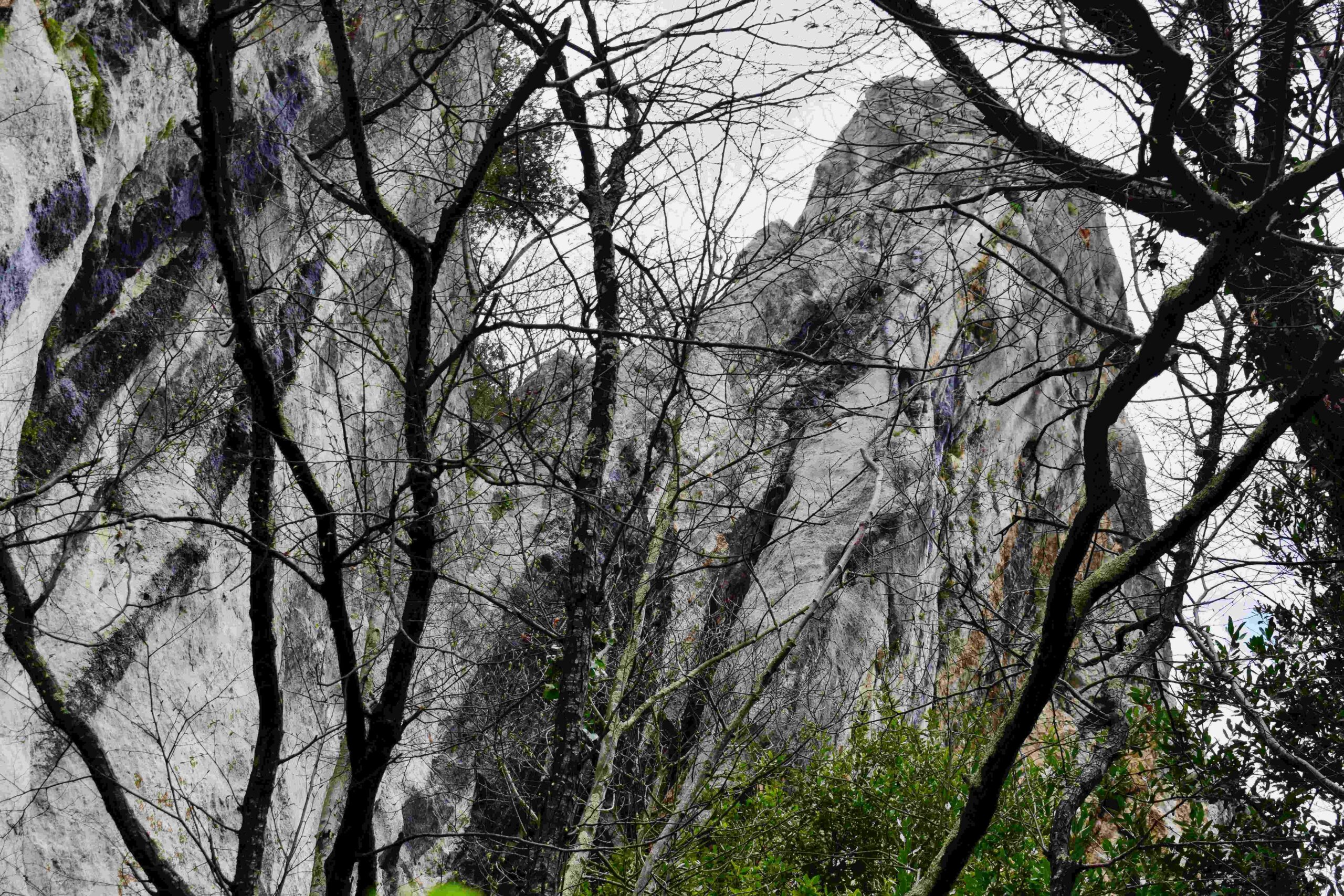
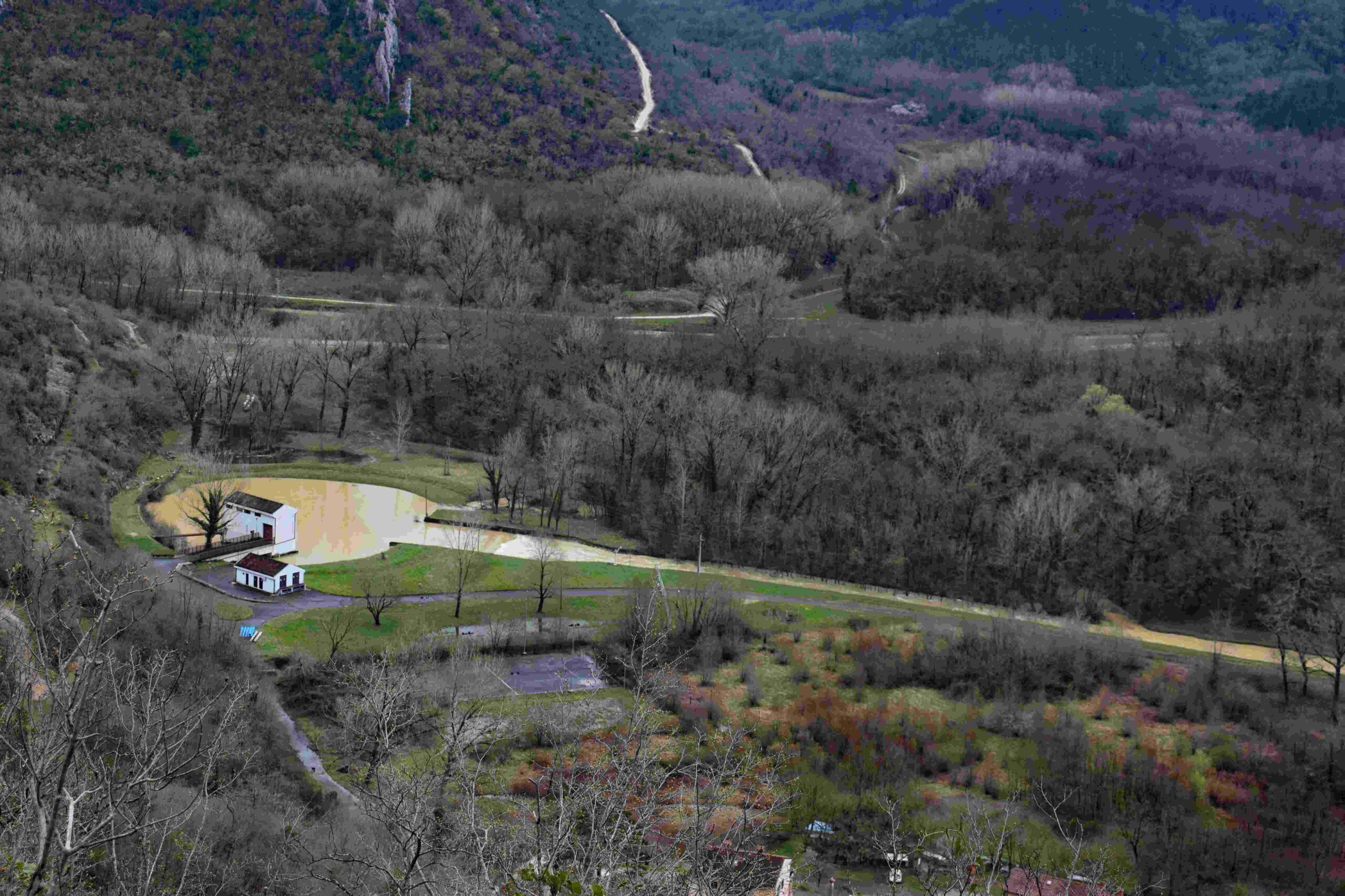
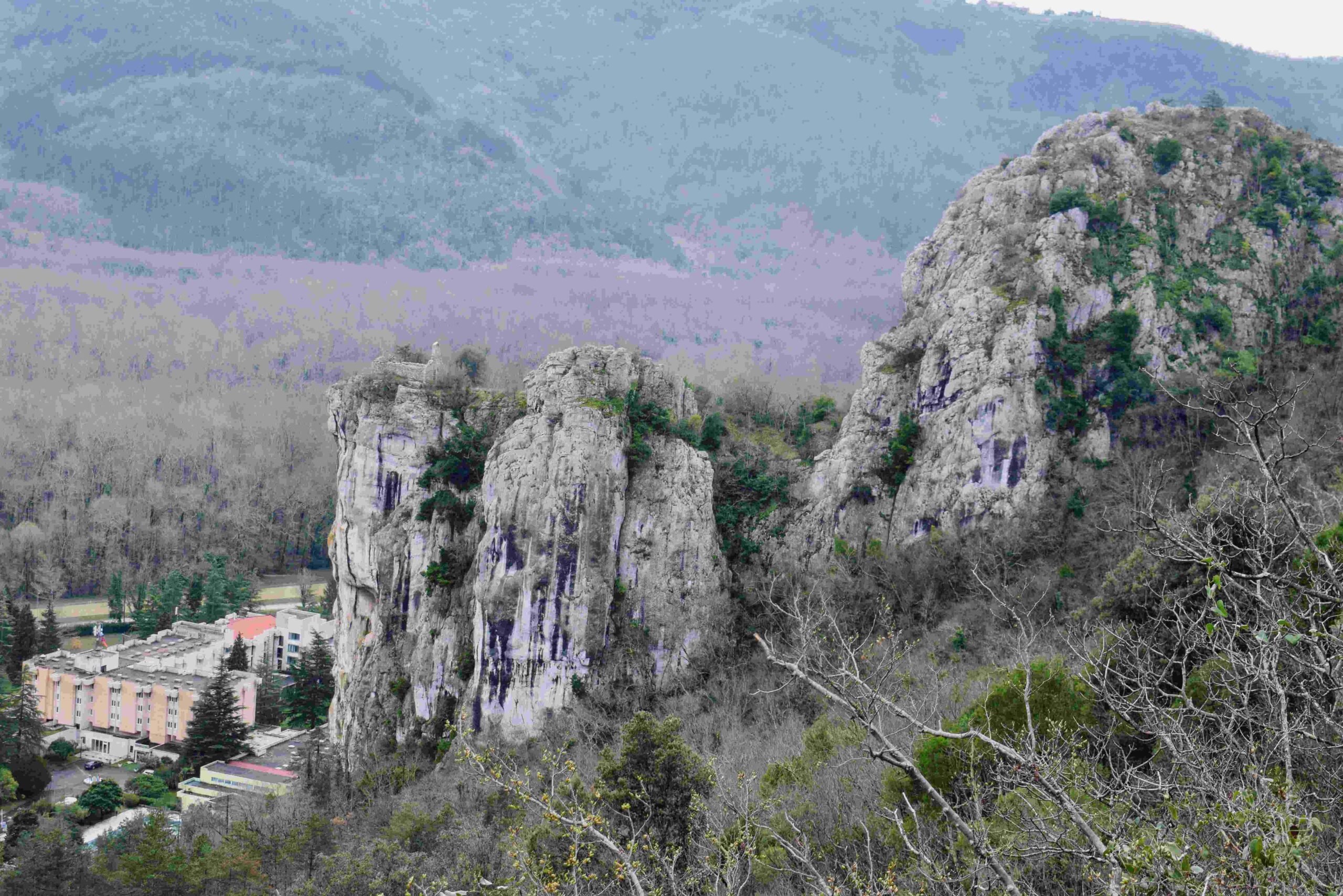
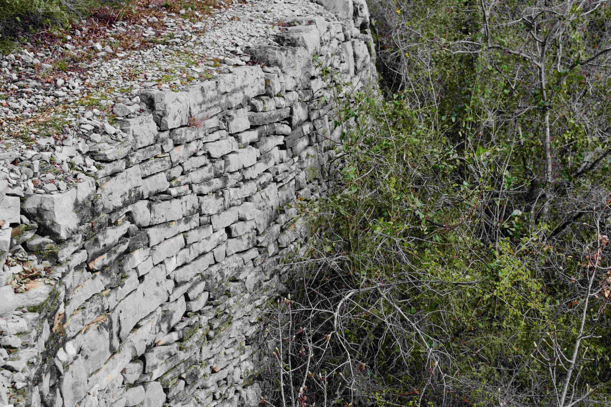
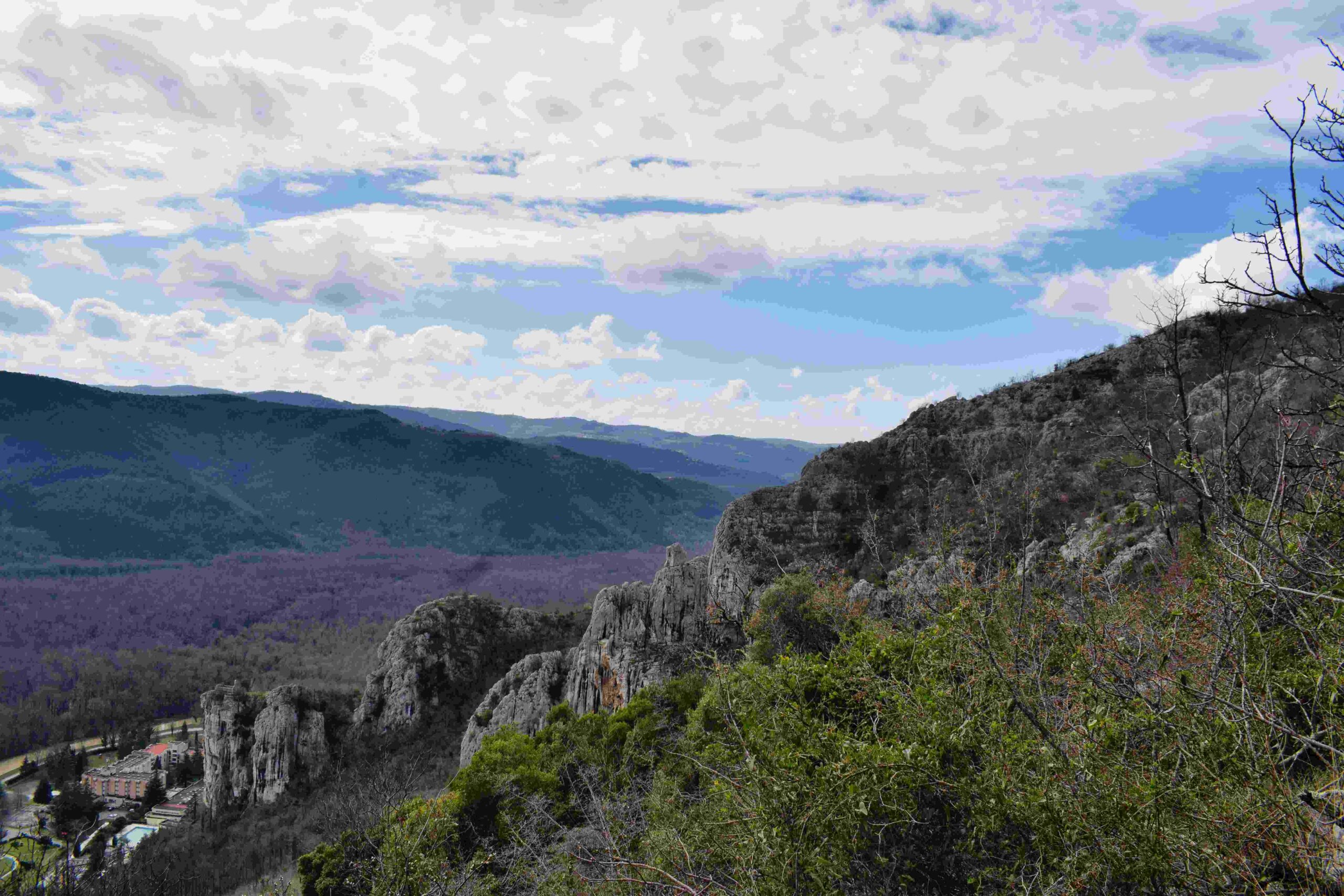
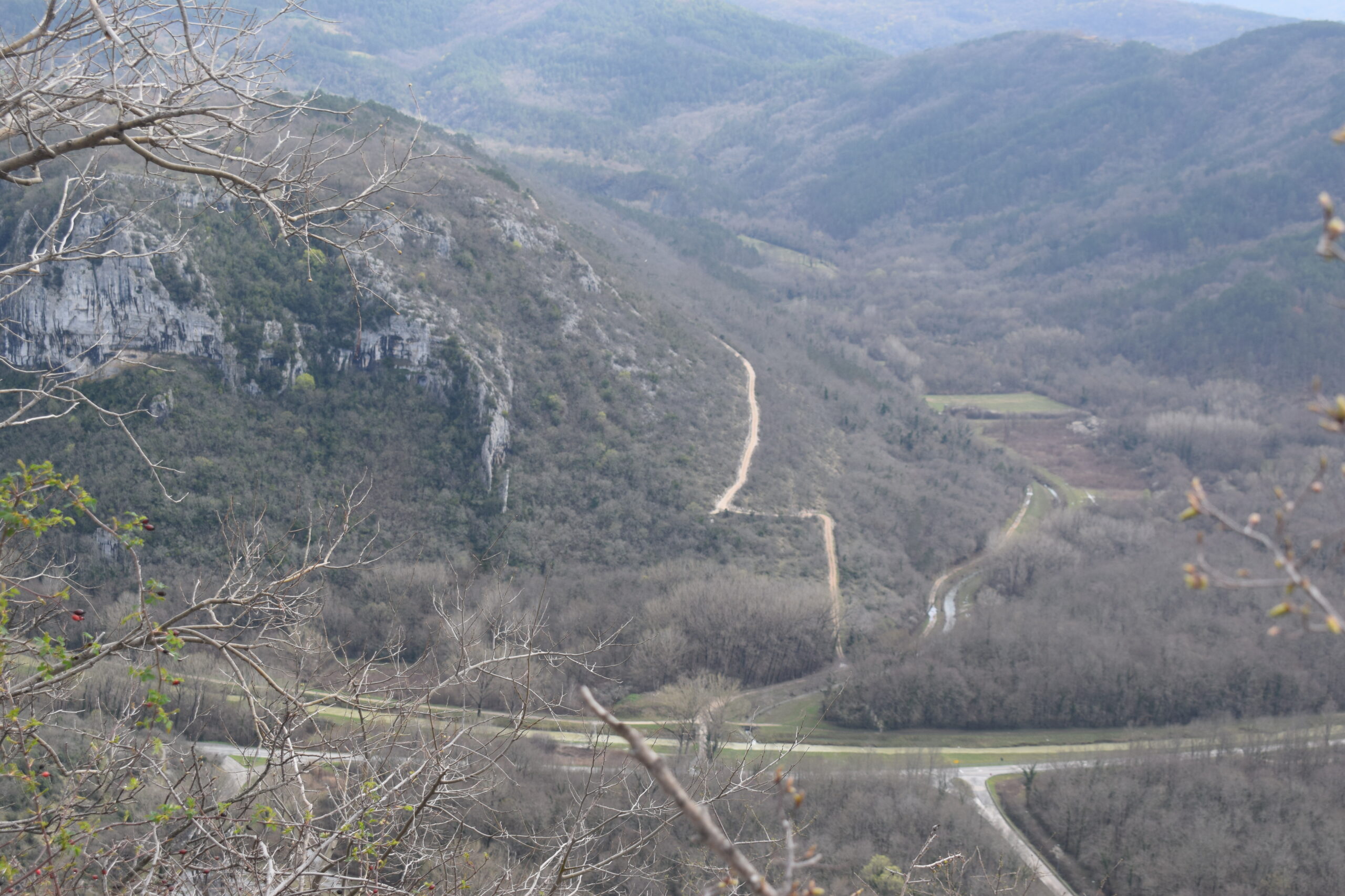
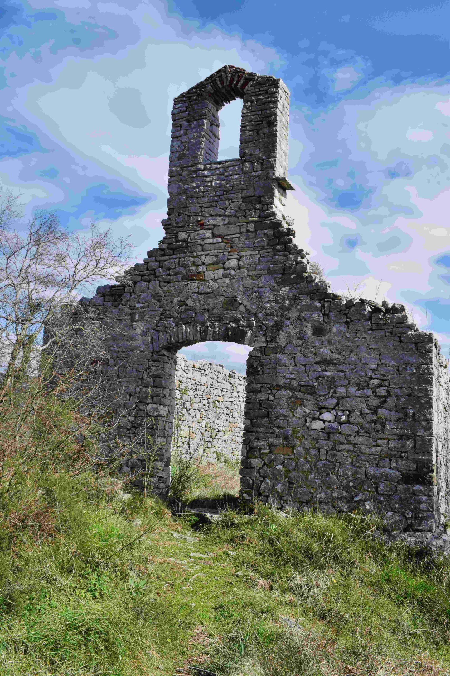
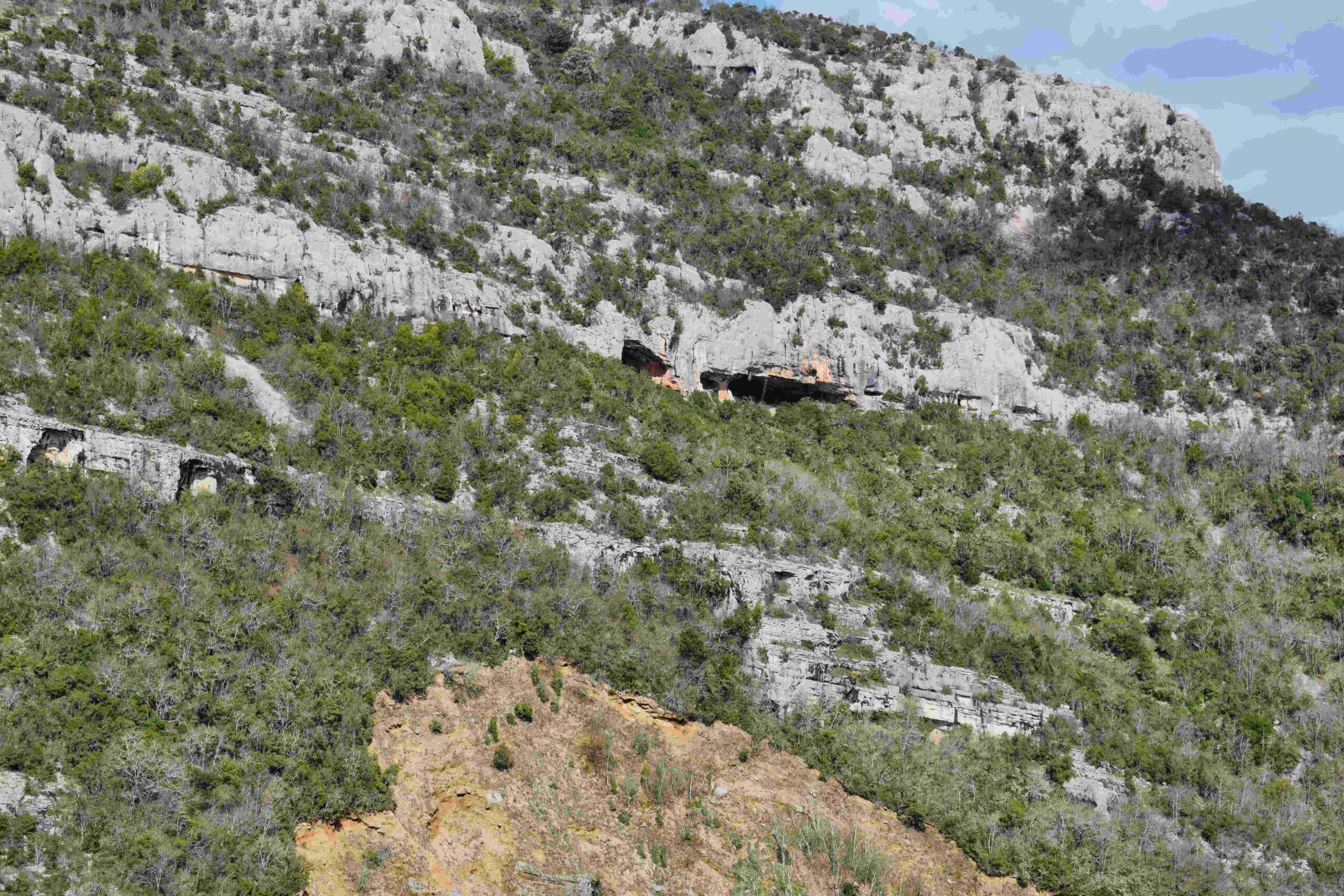
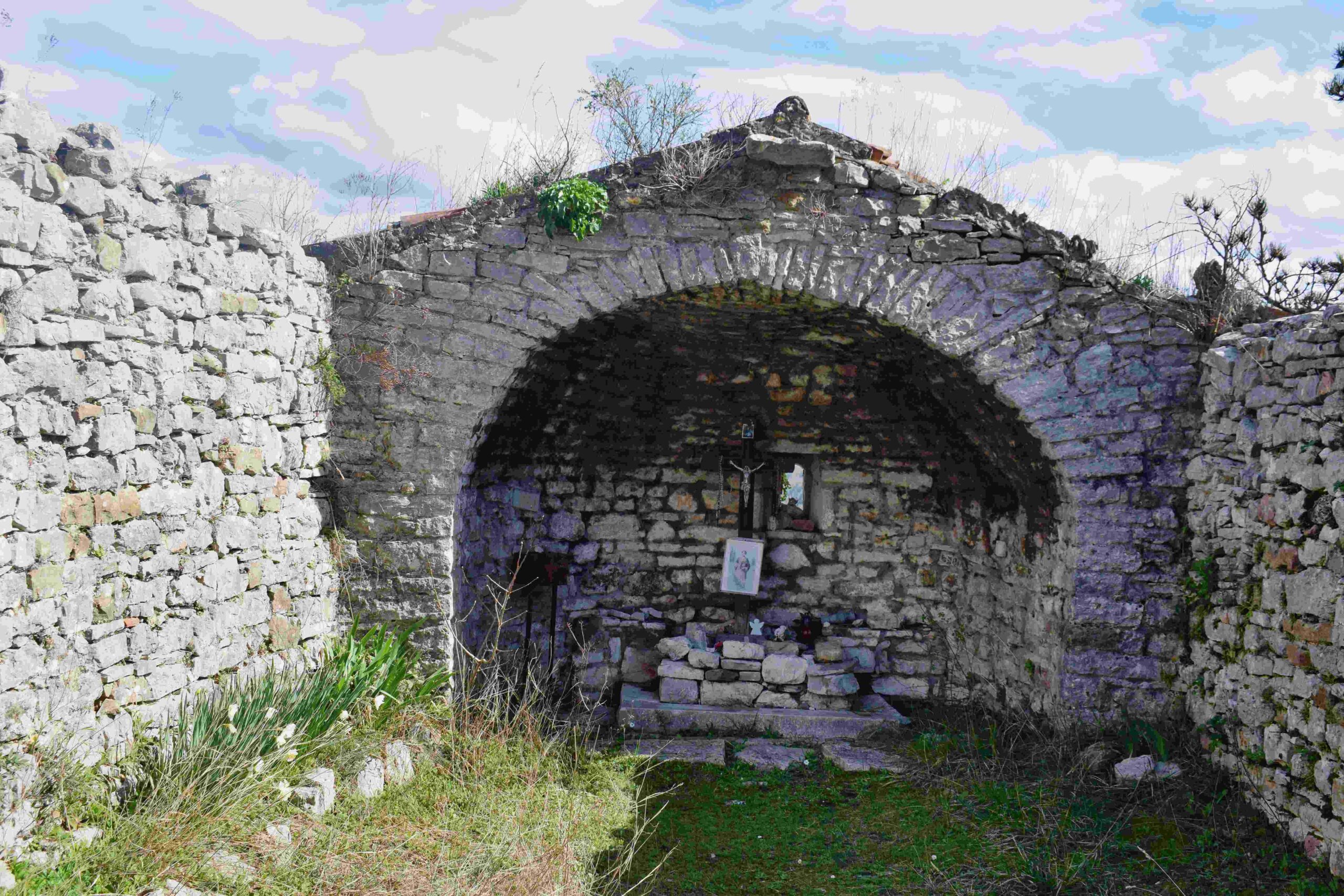
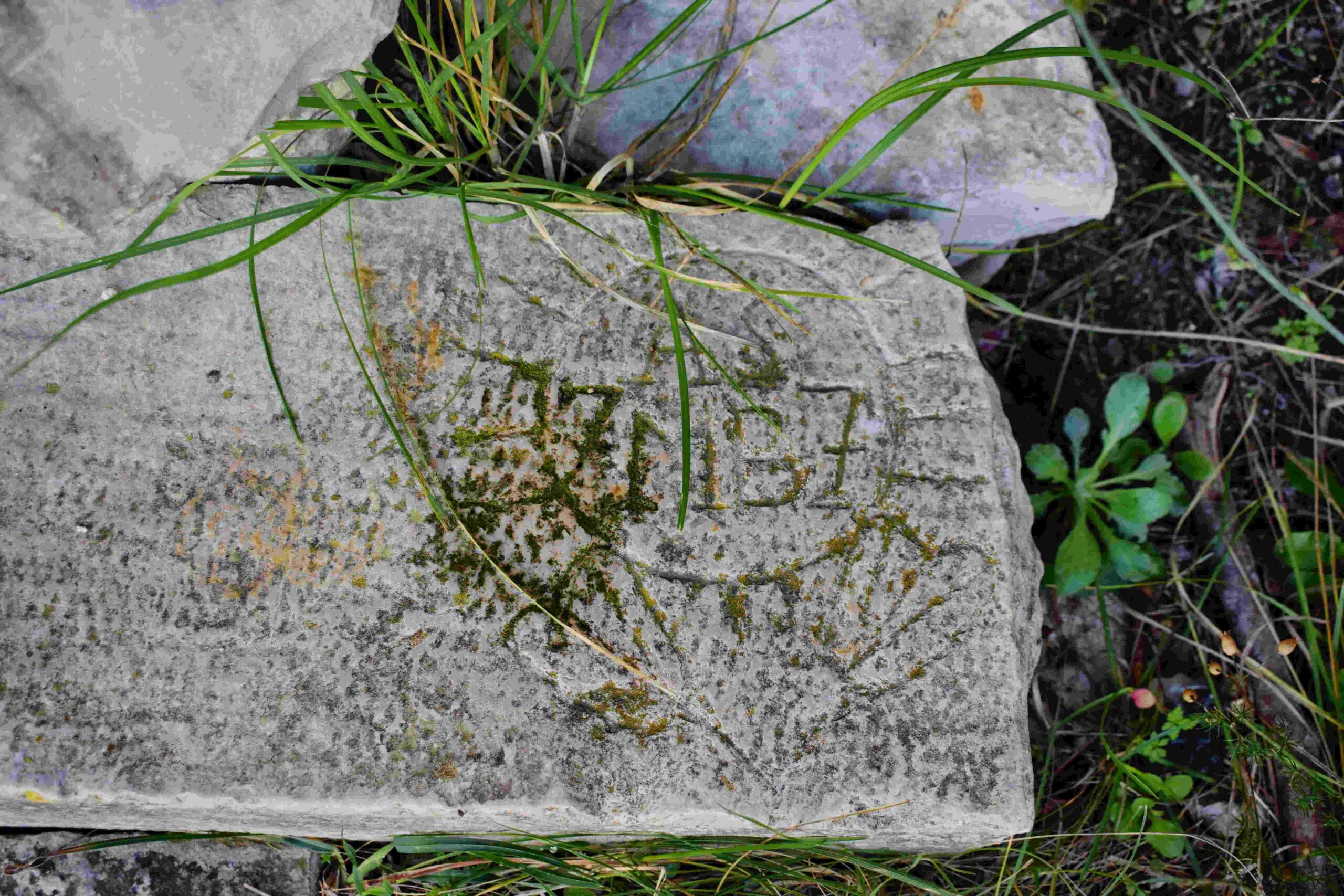
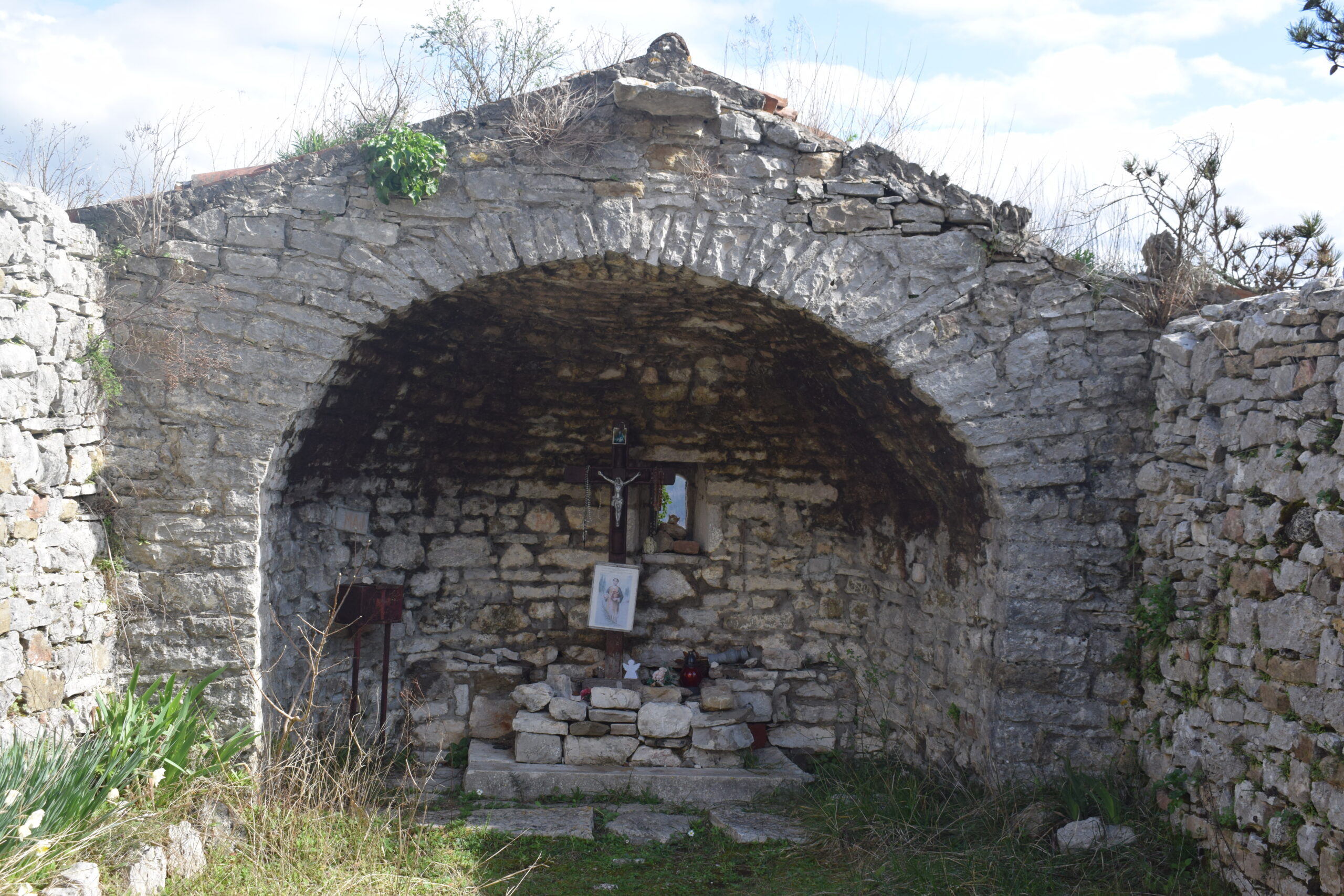
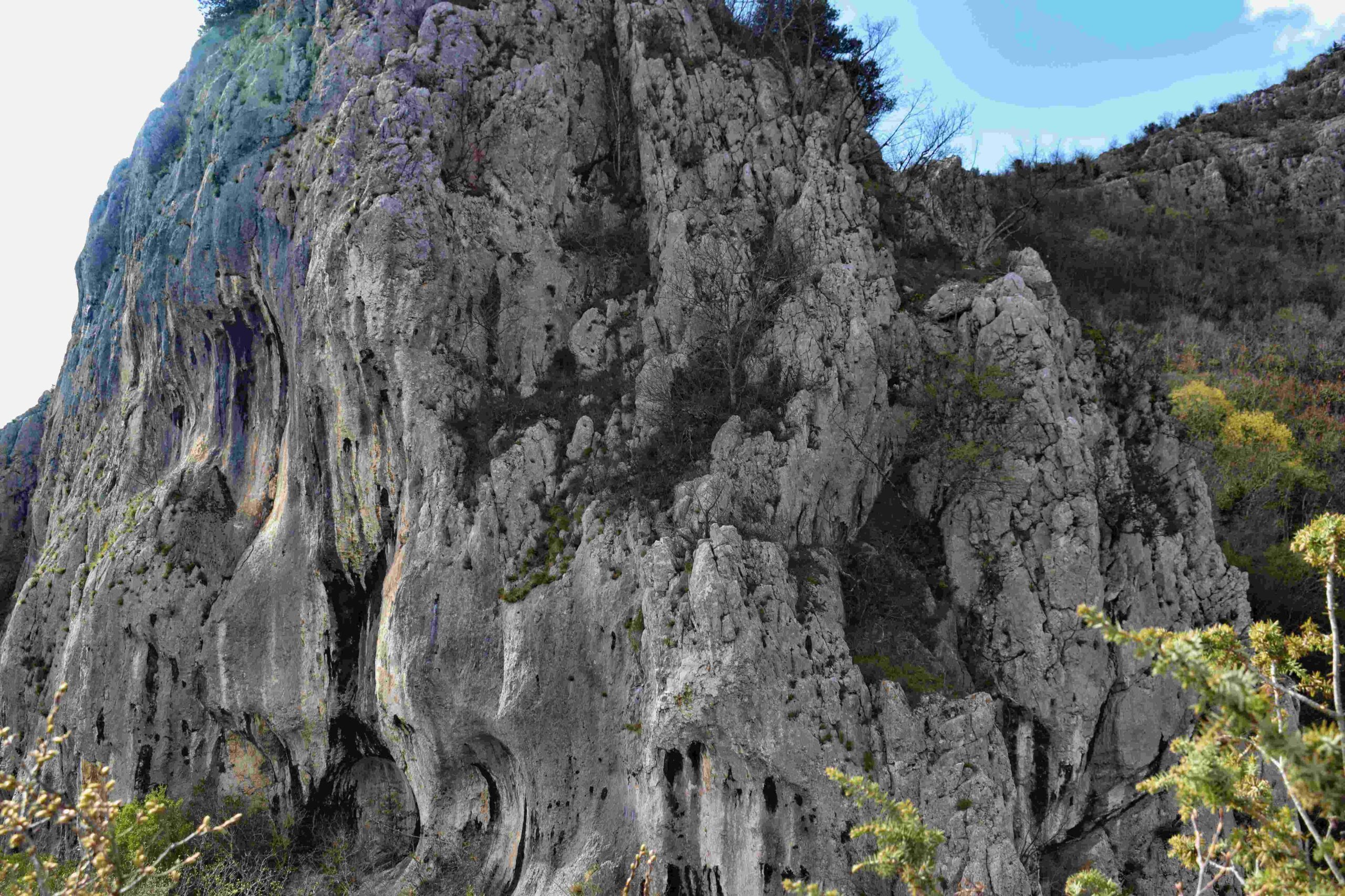
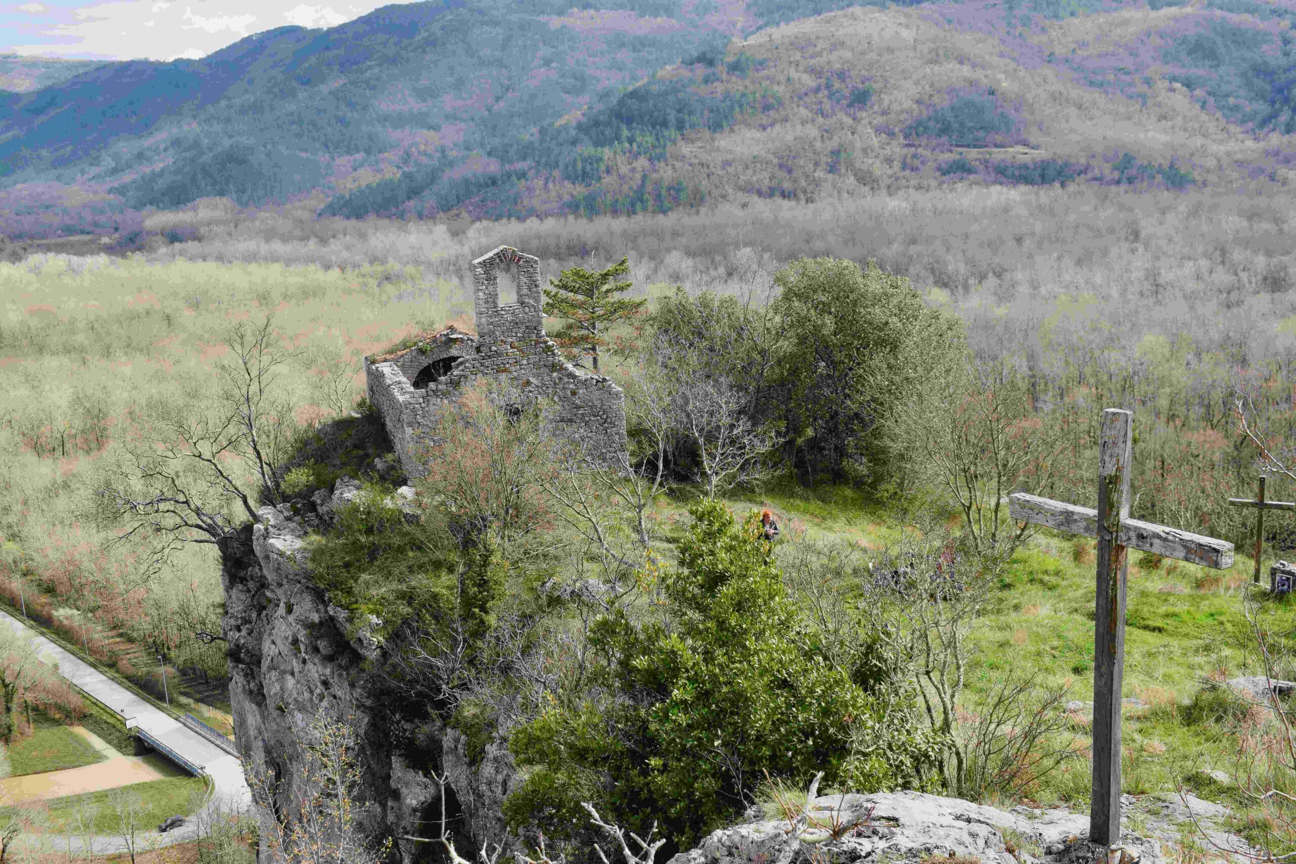
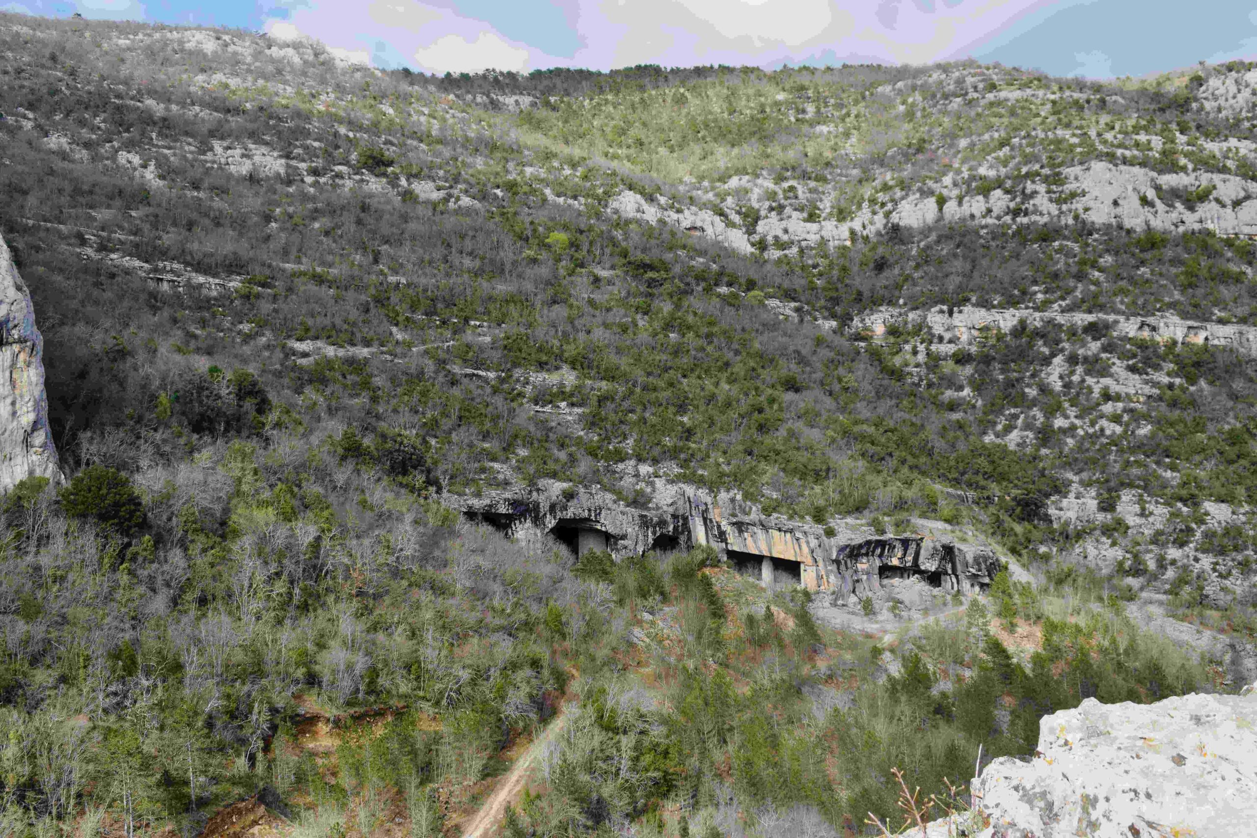
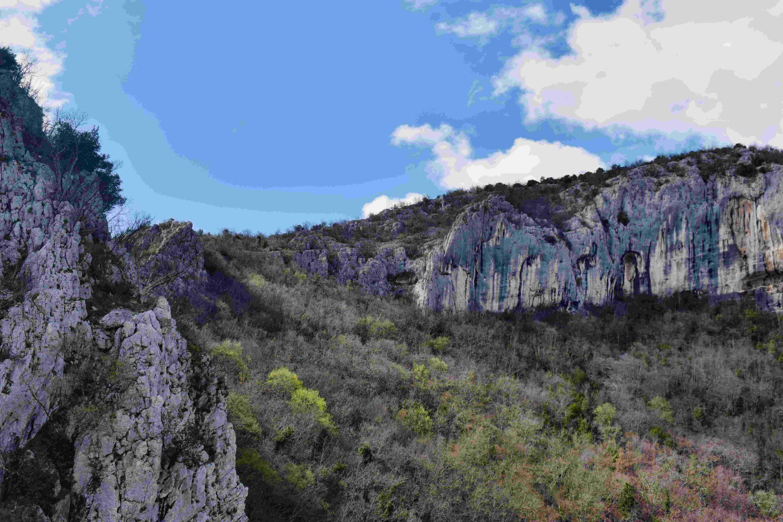
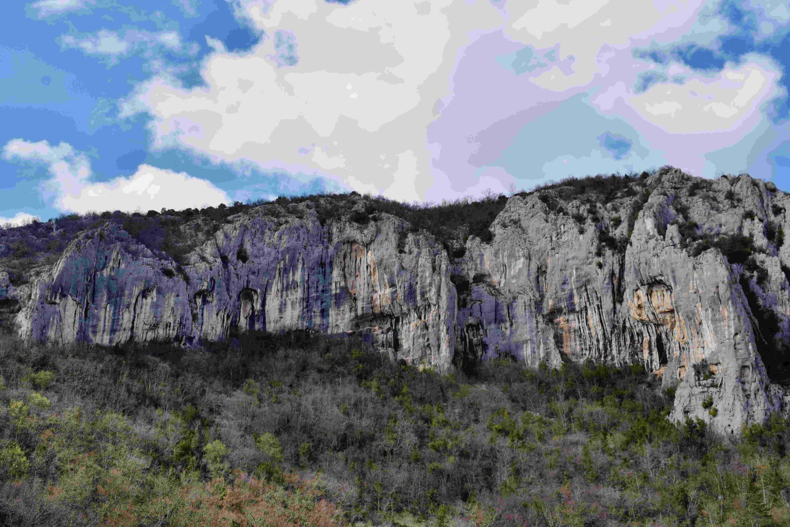
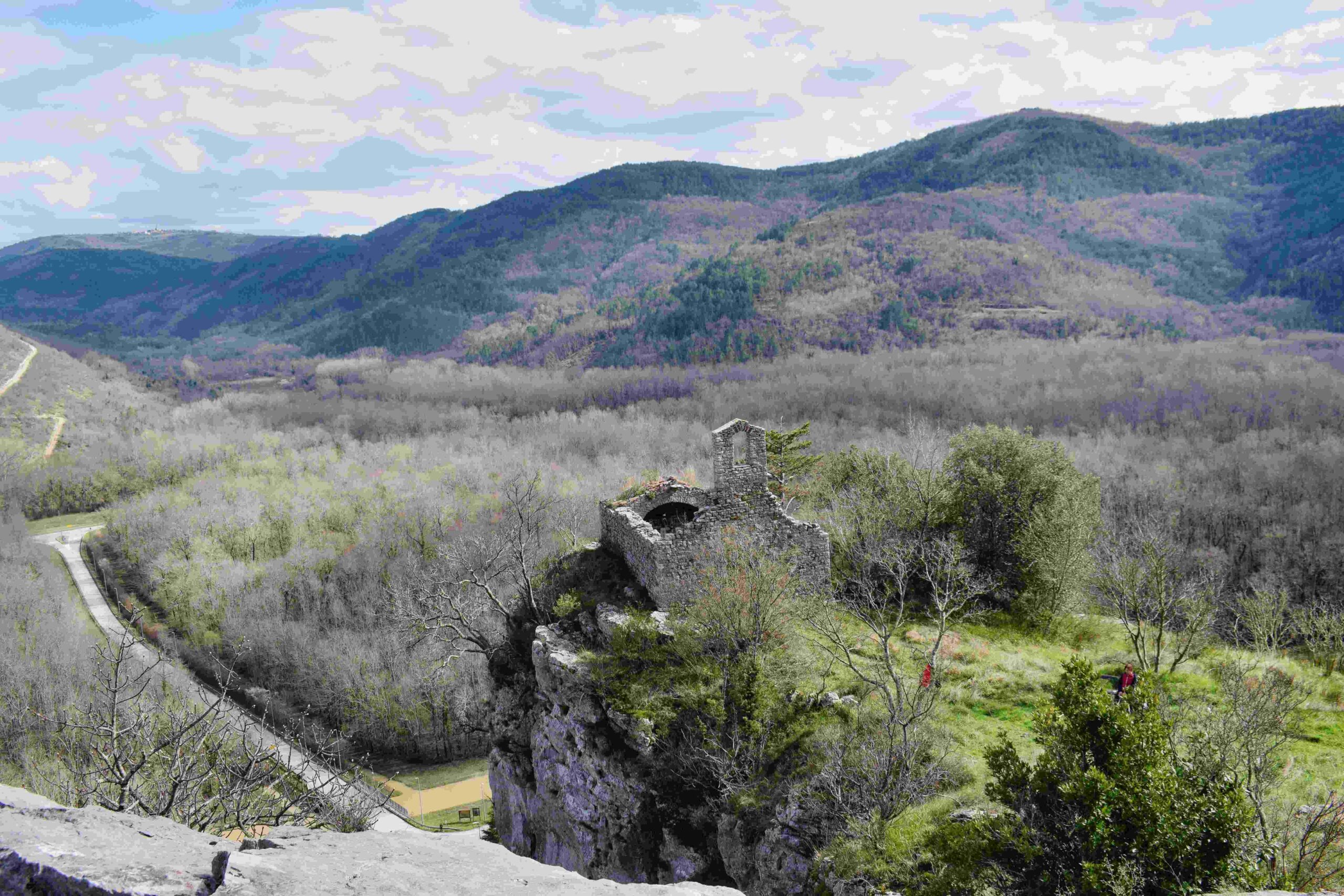
Name: Trail to the Kamenolom Stjepan and the Church Stjepan.

Place: Istarske Toplice – Buzet.

Coordinates: Start 45.38034 N – 13.88599 E, Kamenolom 45.38138 N -13.88343 E , end trail 45.38153 N – 13.87866 E,  start to church 45.37797 N – 13.88216, Church 45.37870 N – 13.88202 E.

Trail from Pelegrin/Spina along the coast to Duba, the former quarries with lakes to Umag.


Name: Trail from Pelegrin/Spina along the coast to Duba, the former quarries with lakes to Umag.

Place: Duba – Pelegrin – Spina – (umag).

Coordinates: From 45.40215 N – 13.5331 E to 45.42176 N – 13.51769 E.

Roman quarries on the hill Monte del Vescovo – (Biškupovi Vrhi).

Characteristic of these quarries was that the stones with a length of up to 2 meters, a width of 1 meter and a thickness of 80 cm were extracted here with a hammer with two spikers. The groove between the stones was 20 to 30 cm. The blocks of stone were presumably used for the manufacture of sarcophagi.


Name: Roman quarries on the hill Monte del Vescovo – (Biškupovi Vrhi).

Place: Near Flengi – (Vrsar).

Coordinates: Entrances hill: 45.15270 N- 13.64983 E, 45.15017 N – 13.64948 E.