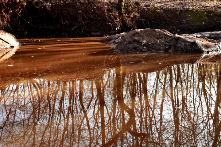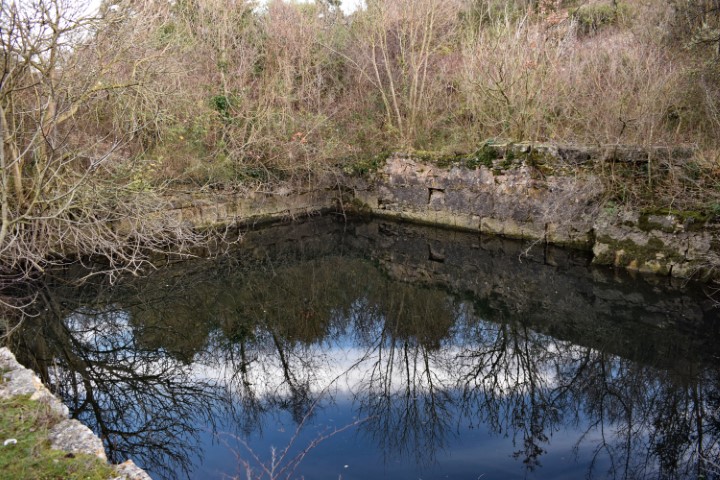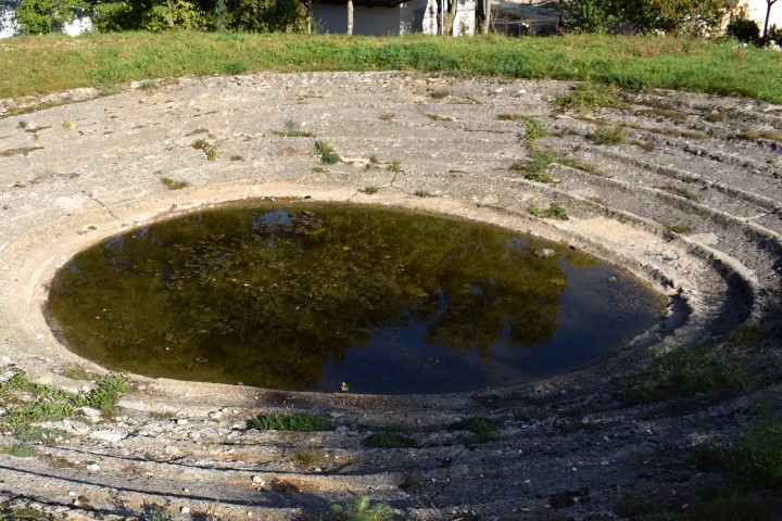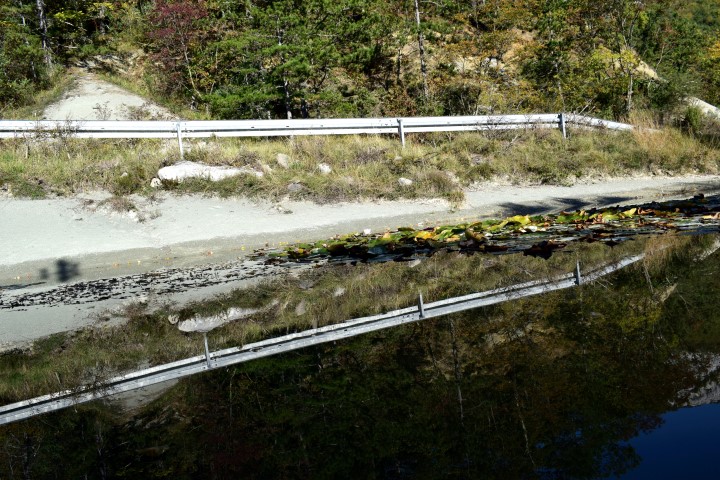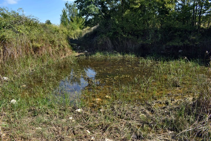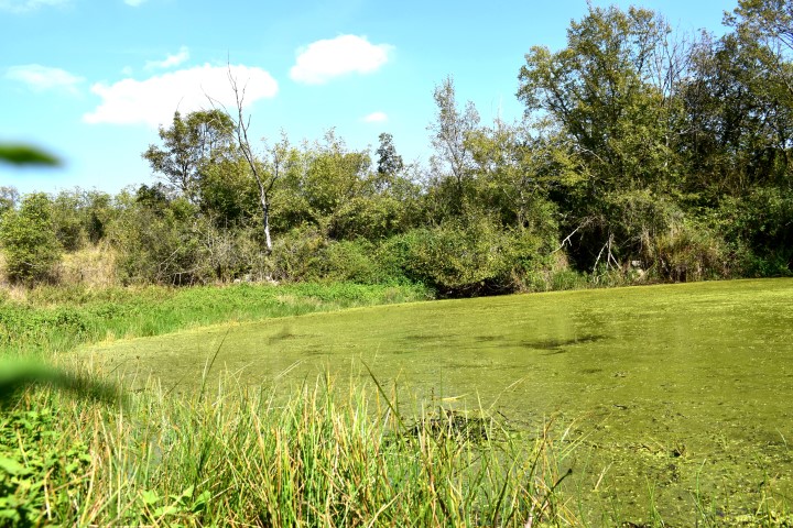
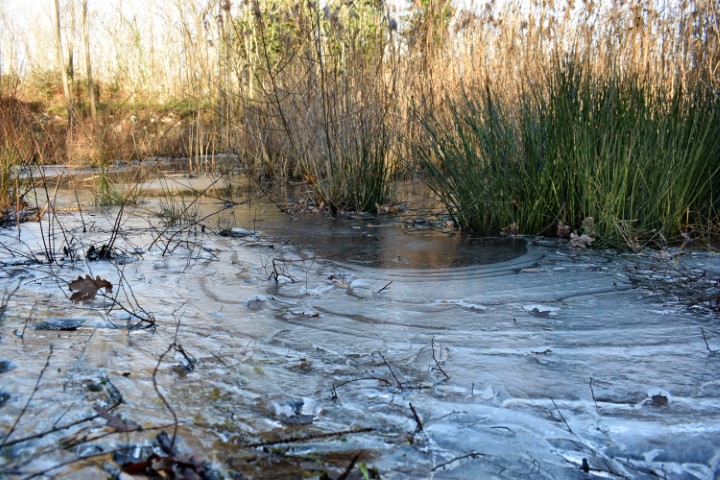
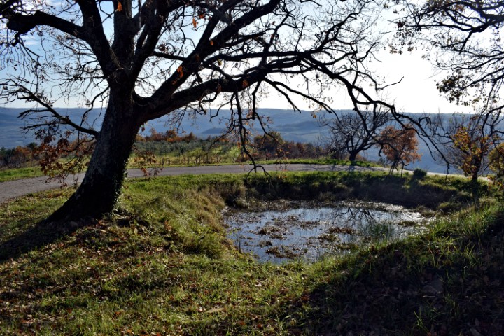
Name: Puddle near Bateli.
Place: Bateli – (Barban).
Coordinates: 45.050708 N – 13.988798 E.
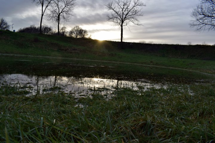
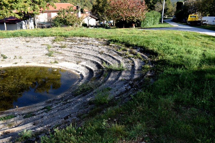
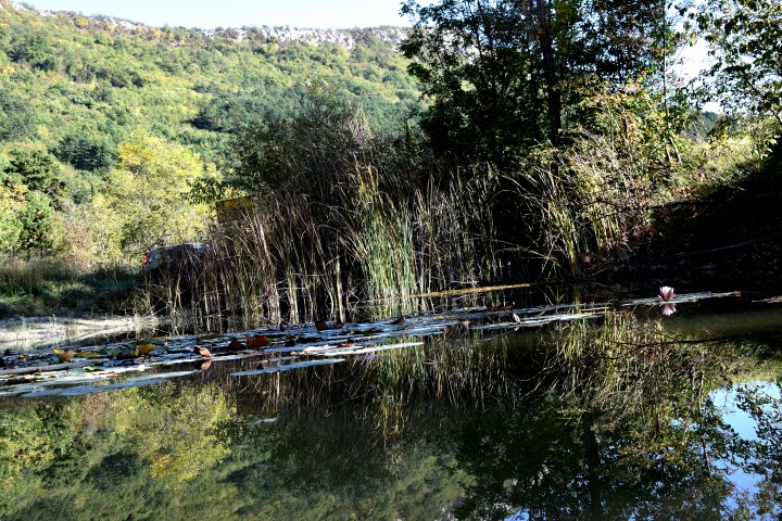
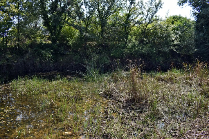
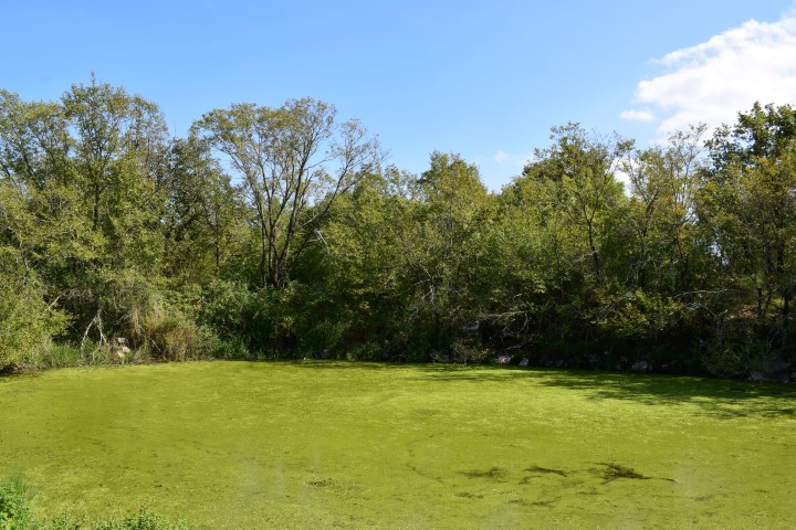
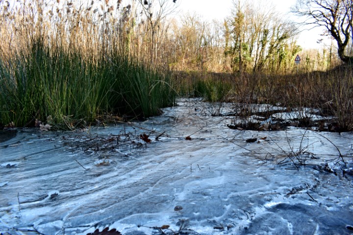
Name: Puddle near Bateli.
Place: Bateli – (Barban).
Coordinates: 45.050708 N – 13.988798 E.
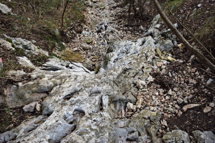
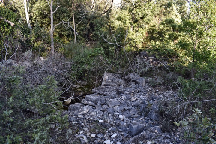
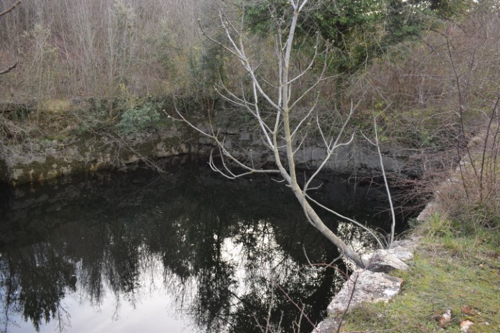
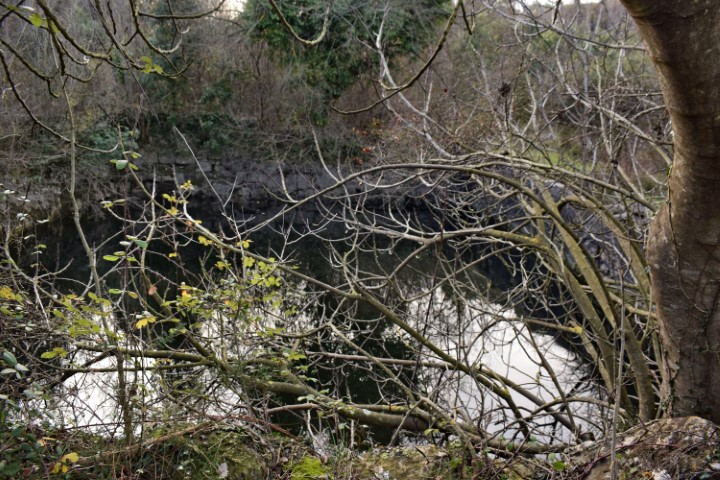
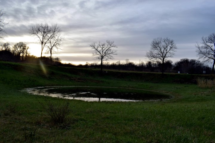
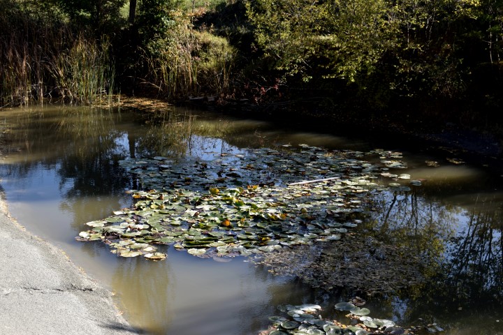
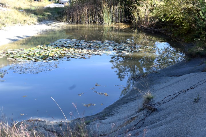
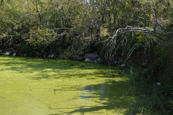
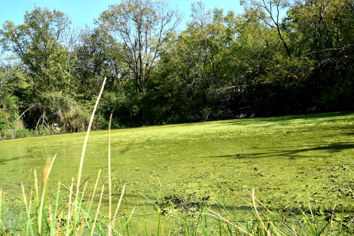
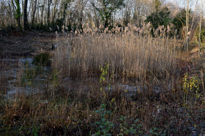
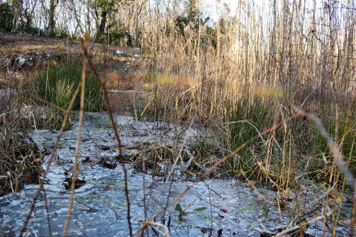
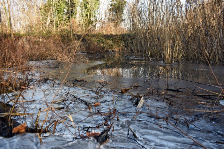
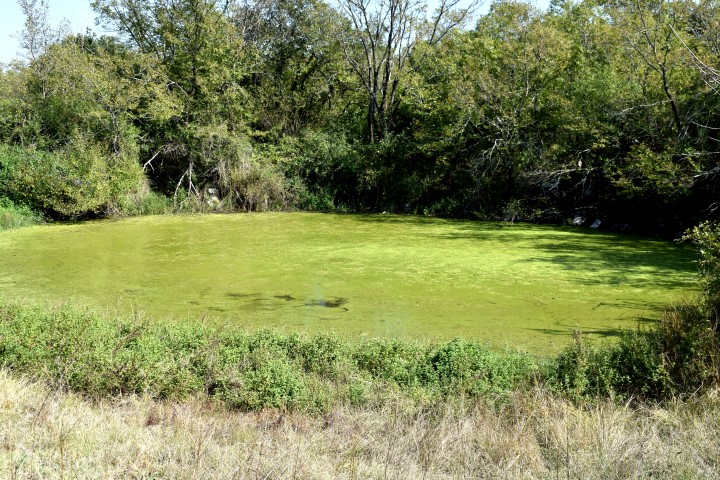
Name: Puddle Marčana.
Place: Near Pecinovi Dvori – (Marčana).
Coordinates: 44.94917 N -13.92791 E.
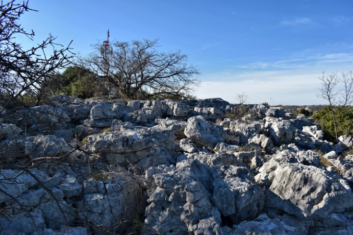
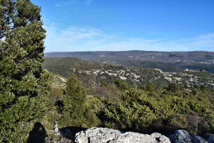
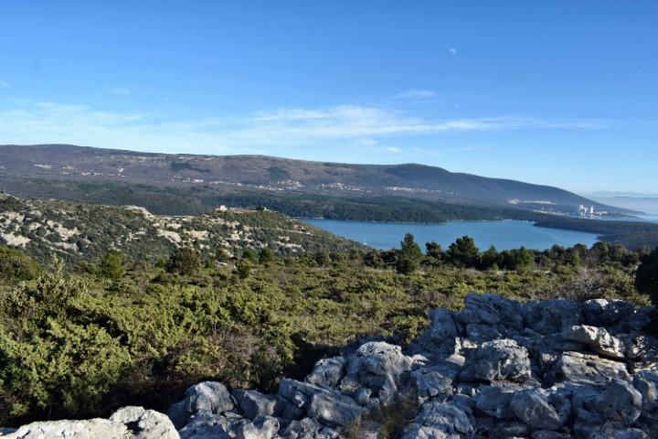
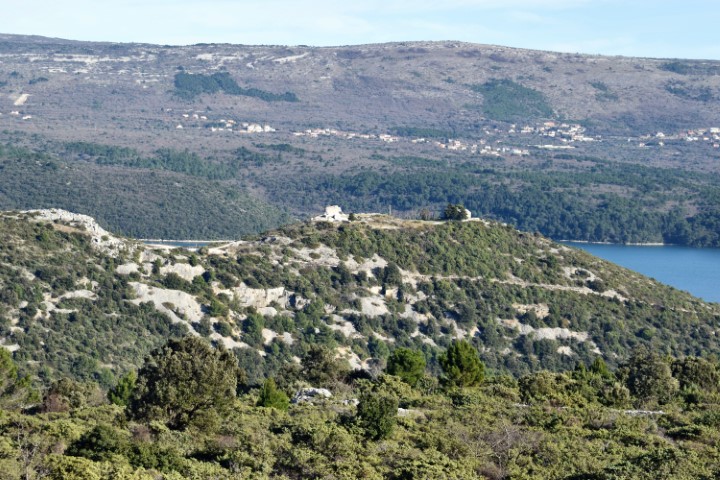
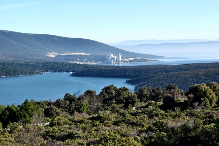
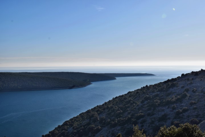
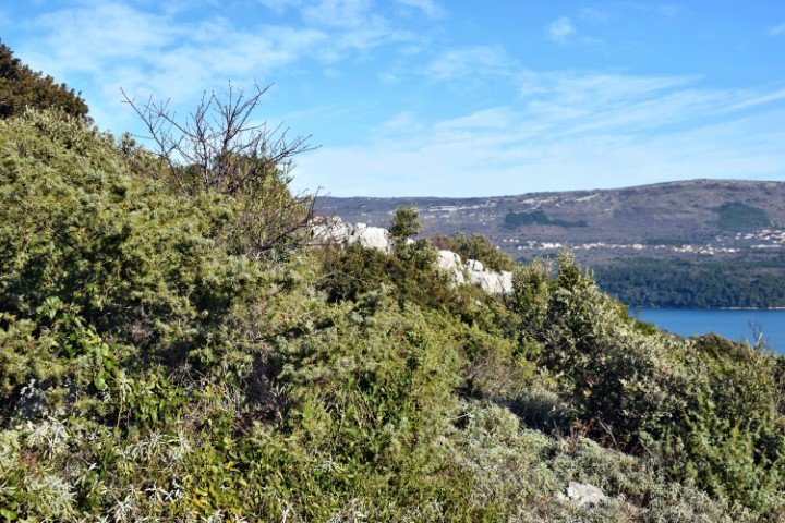
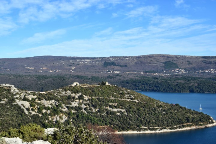
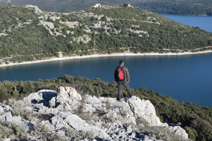
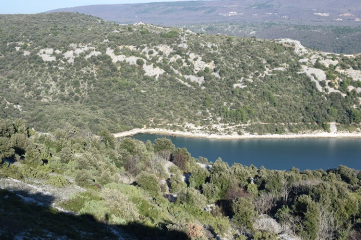
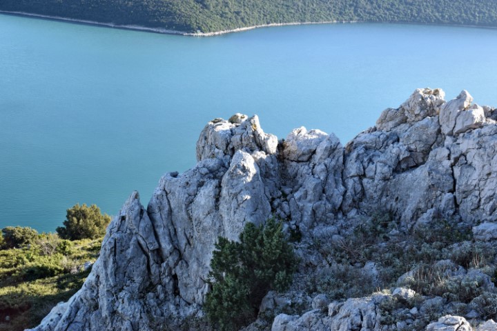
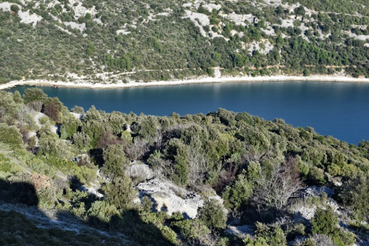
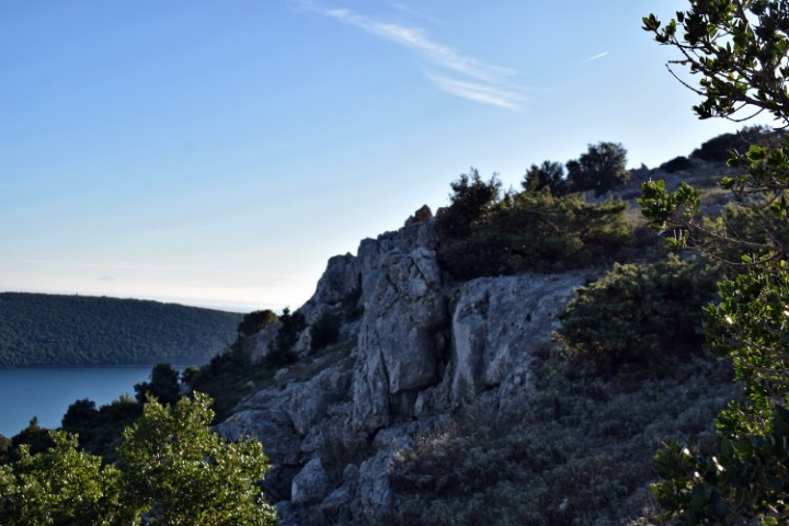
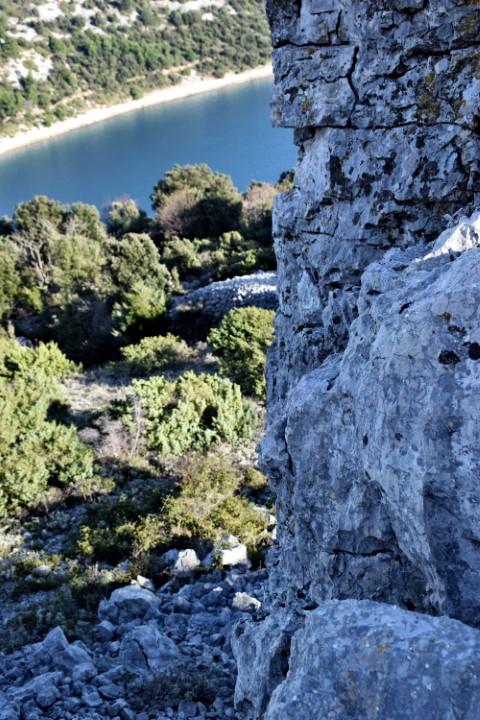
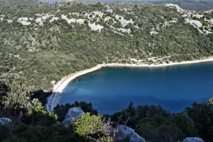
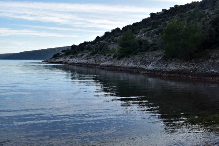
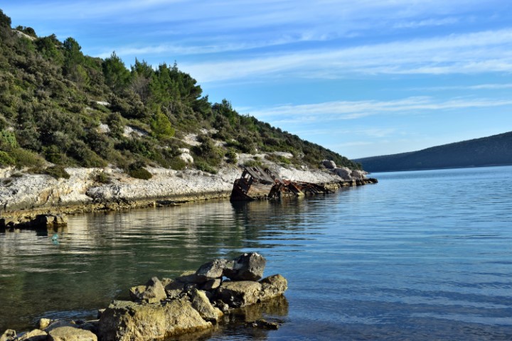
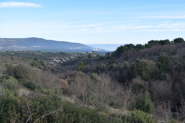
From the hill view of the bay Rasa, U Luka and the island Ubac and Tunarica.
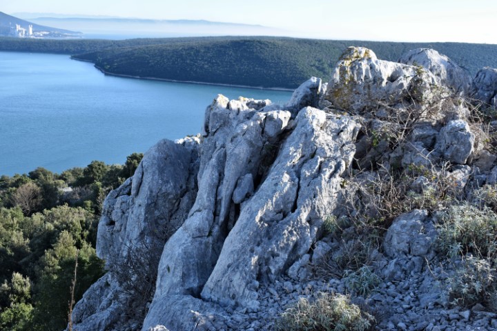
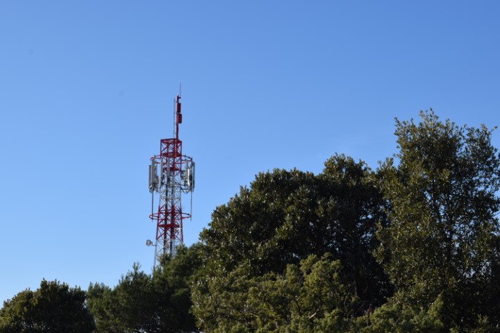
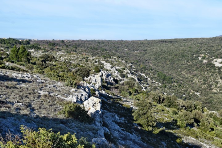
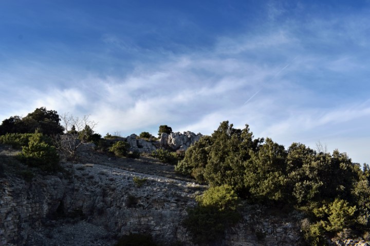
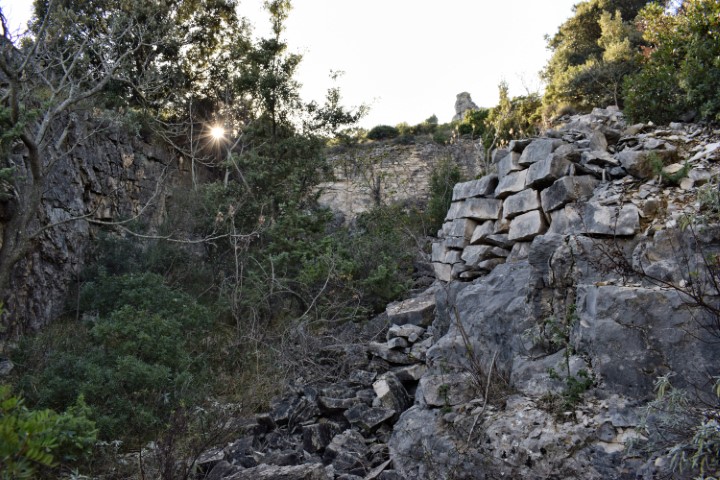
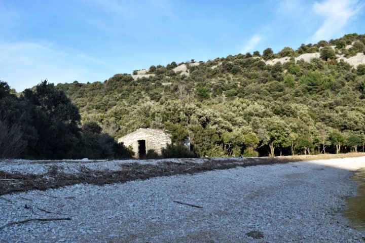
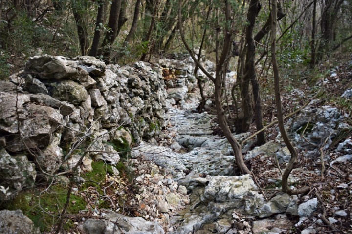
Name: Hiking trail from the rocky hill Plenica (149 meters) to the bay U. Luka.
Place: Krcina – (Marčana).
Coordinates:
Starting point: 44.97533 N – 14.051403 E.
Transmission tower: 44.973894 N – 14.058778 E.
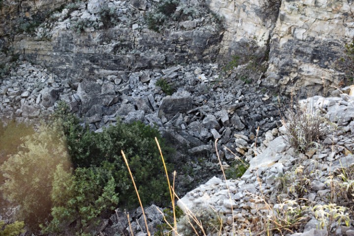
Quarry on the slope of the hill with puddle: 44.97494 N – 14.06287 E (95 meters).
Path upwards: 44.978413 N -14.064131 E
End Strnina: 44.98496 N – 14.05989 E.
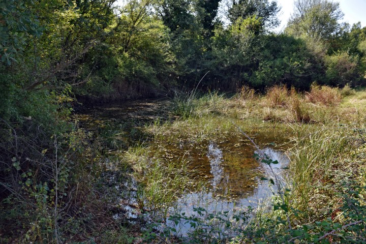
Name: Puddle Čirkoto.
Place: Čirkoti – (Grožnjan).
Coordinates: 45.36913 N – 13.77063 E.

Name: Puddle.
Place: Gornja Nugla – (Lanišće).
Coordinates: 45.41336 N – 14.02376 E

Name: Puddle Kalina.
Place: Near Selina – (Sv. Lovreč).
Coordinates: 45.14887 N -13.75925 E.
Name: Puddle Žarkovica,
Place: Near Modrušan – (Bale).
Coordinates: 45.08906 N – 13.81283 E.