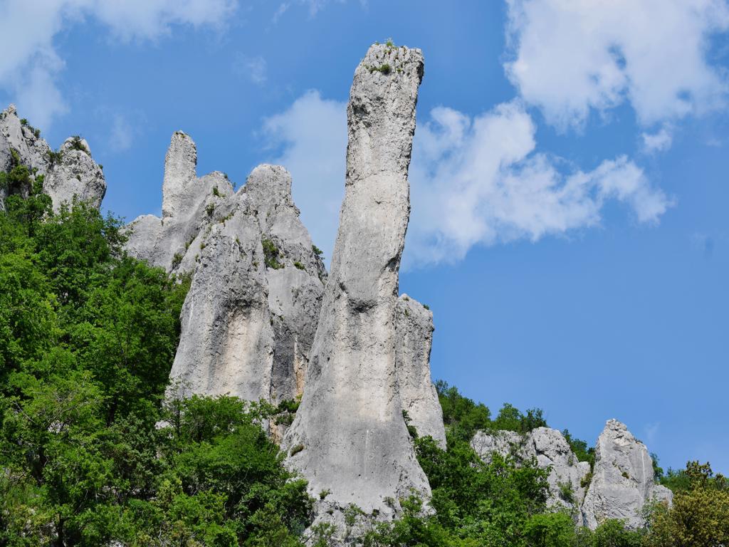
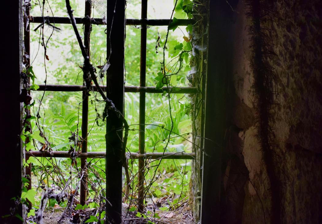
See too the former posts from 2020-07-29 and 2020-07-21-
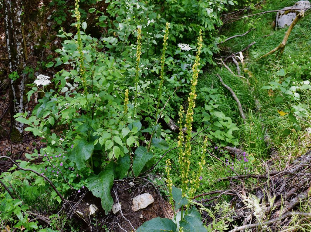

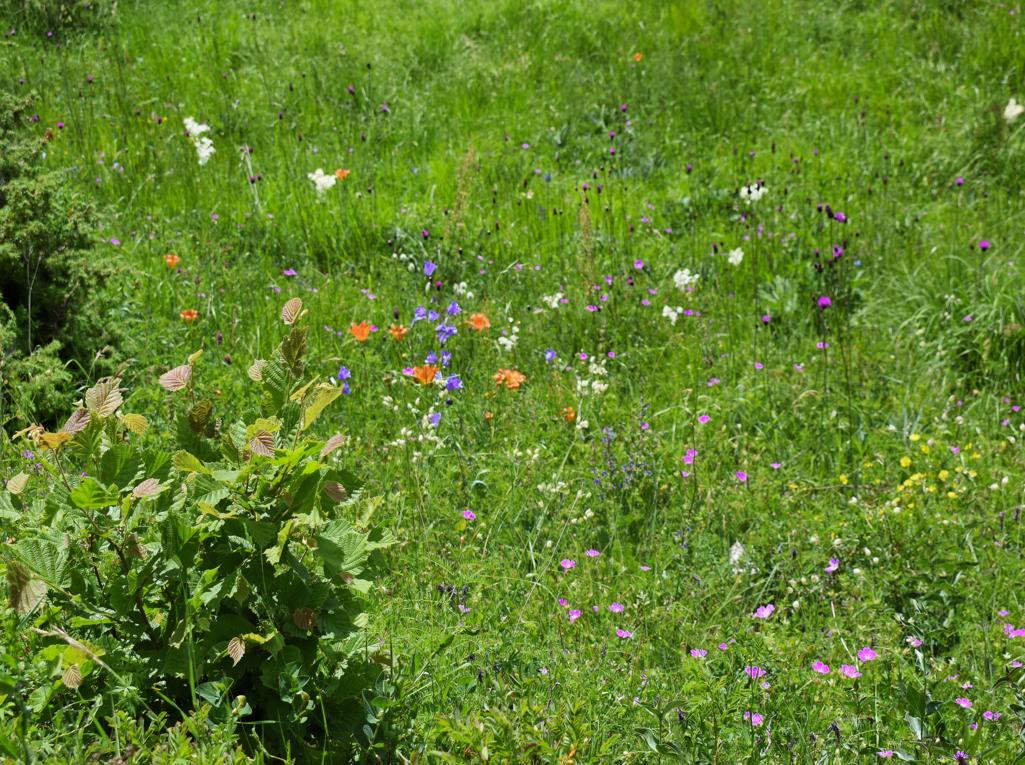

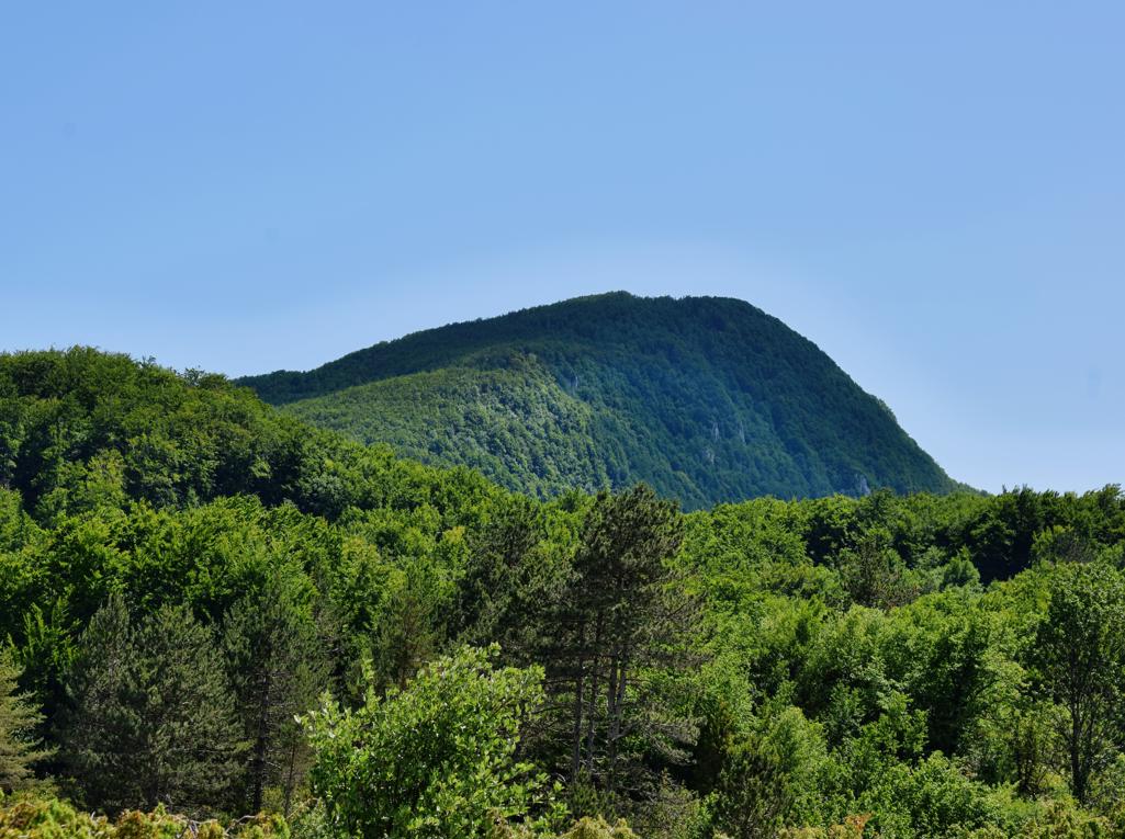
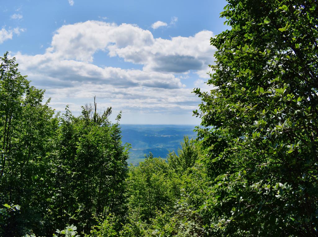
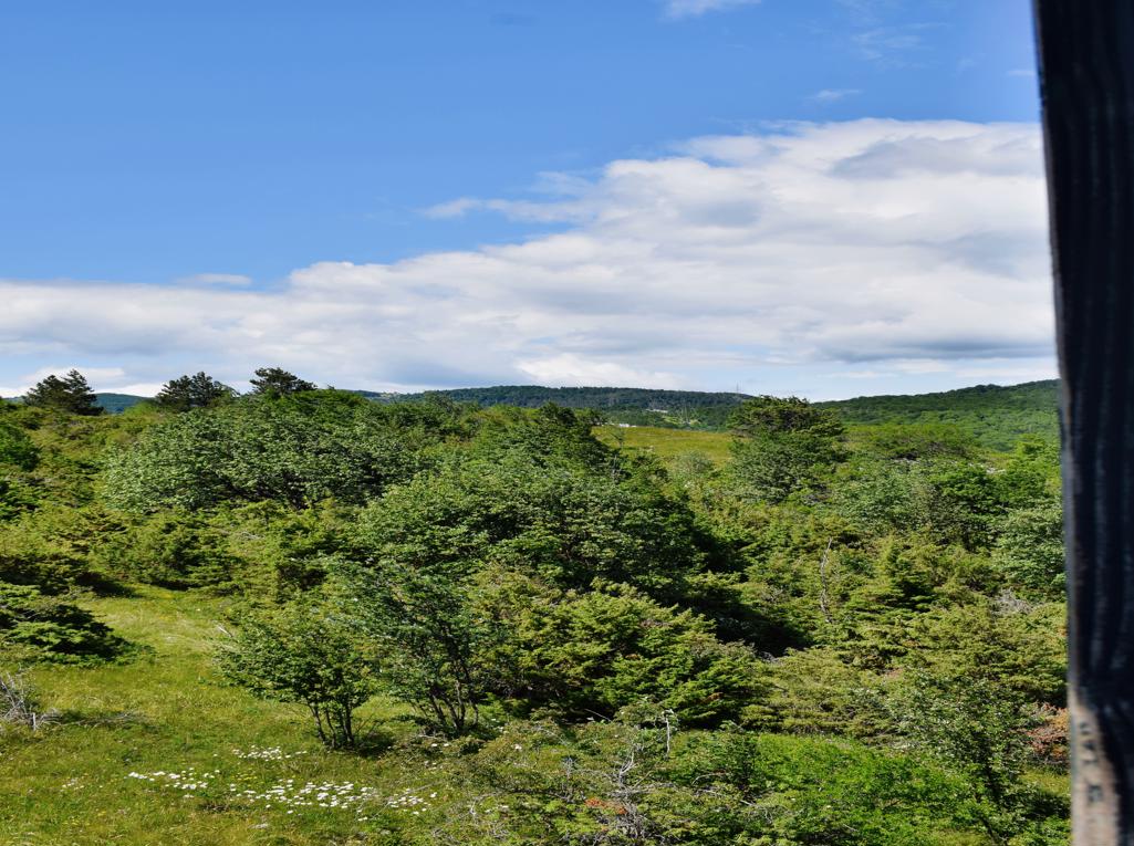

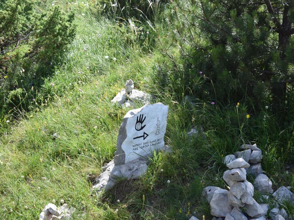
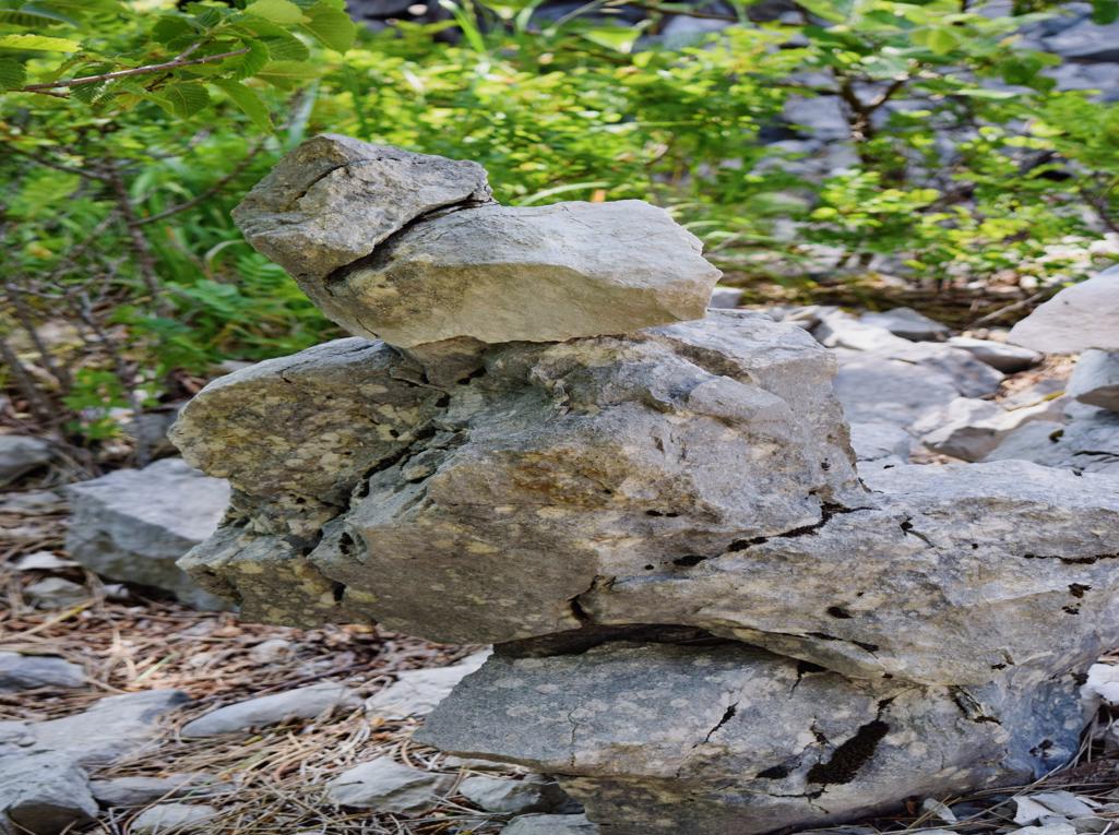
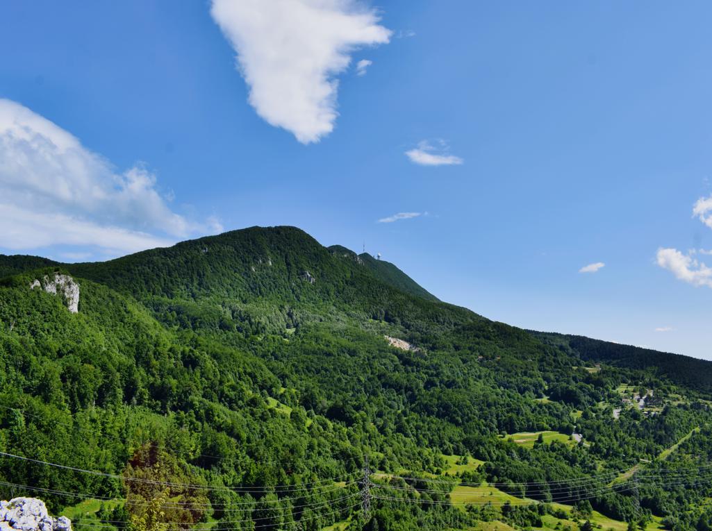
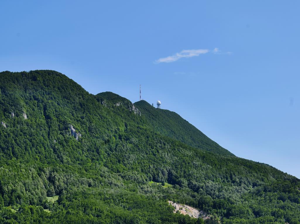
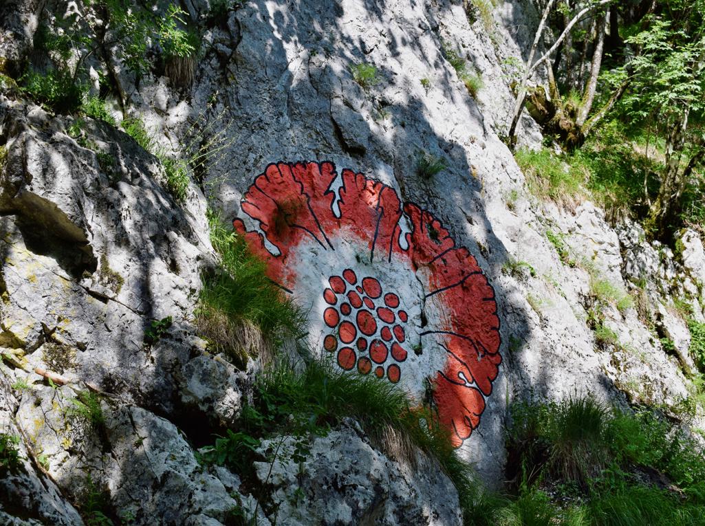
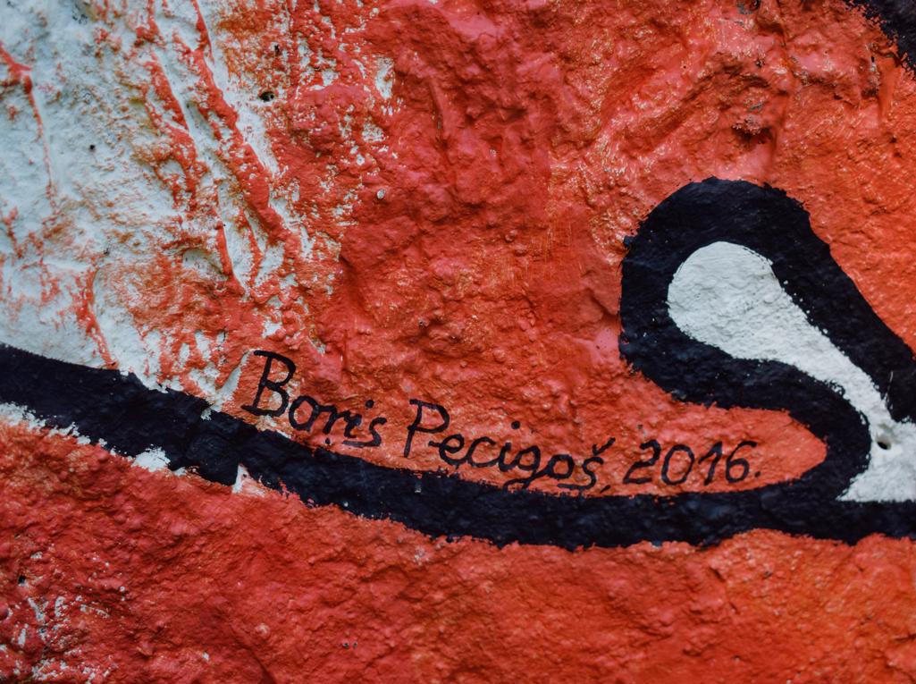
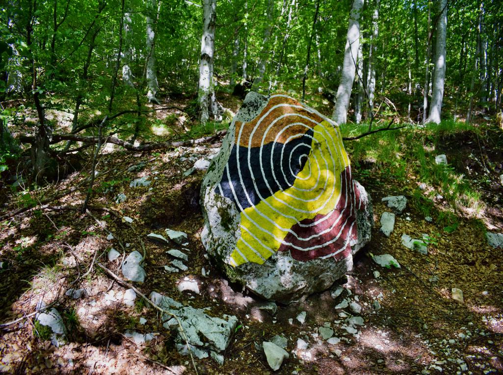
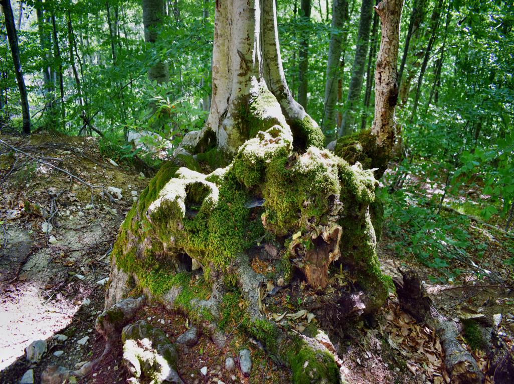
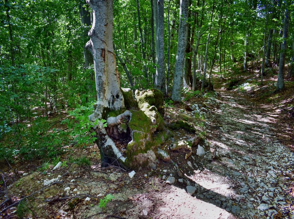
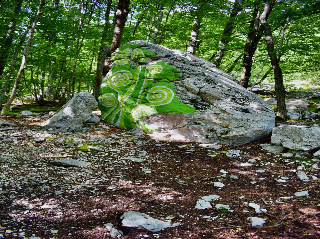
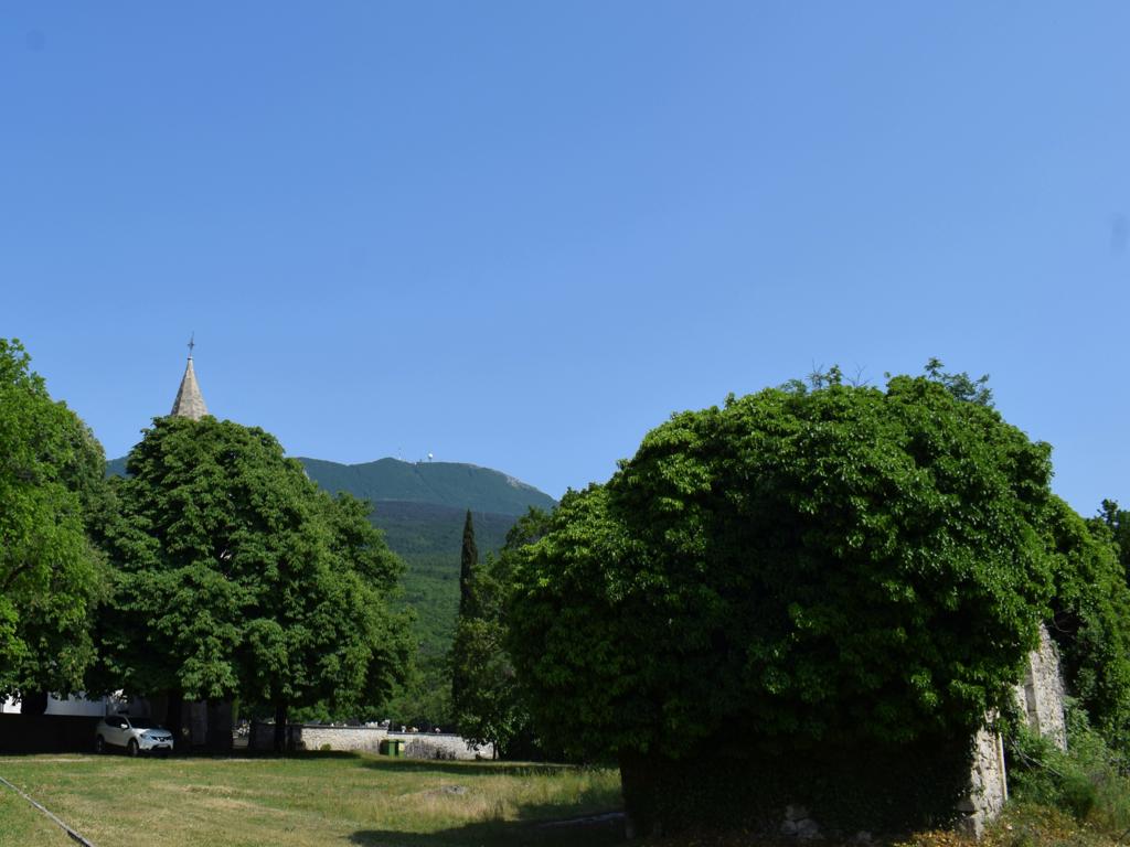
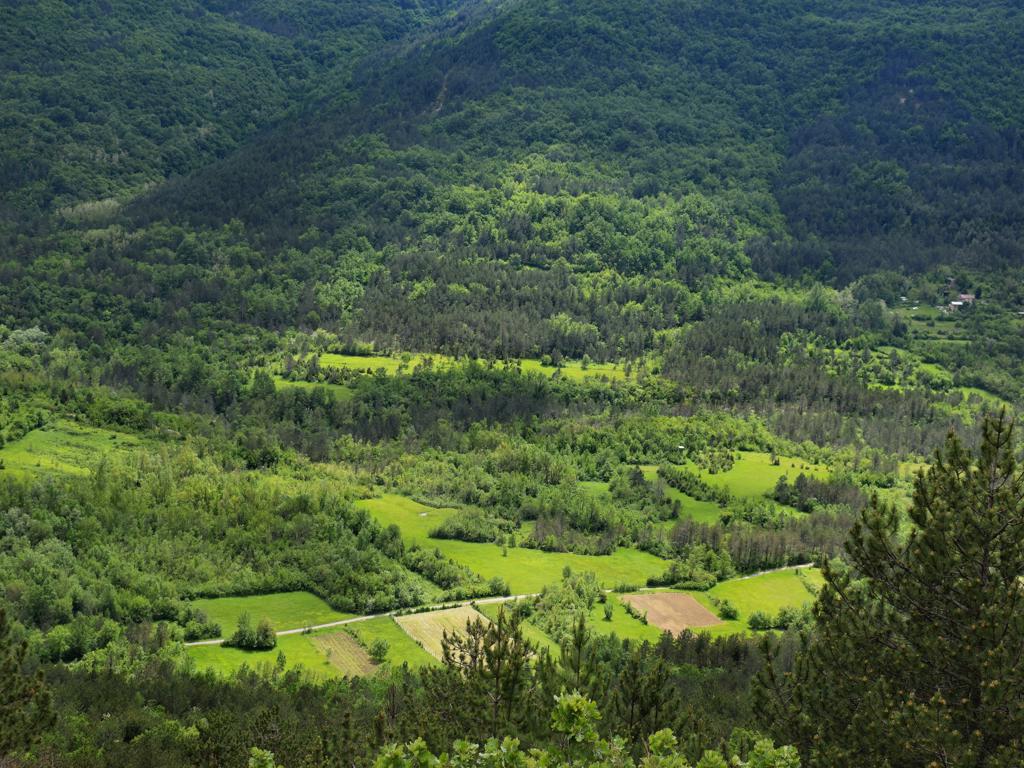
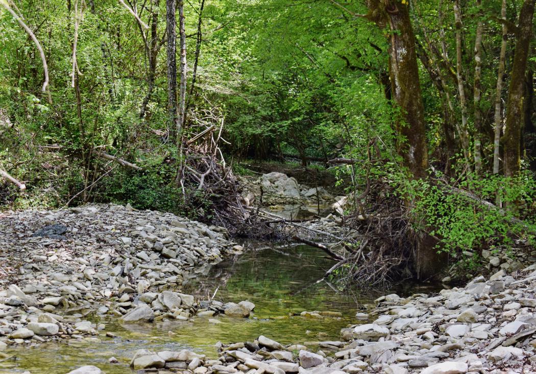
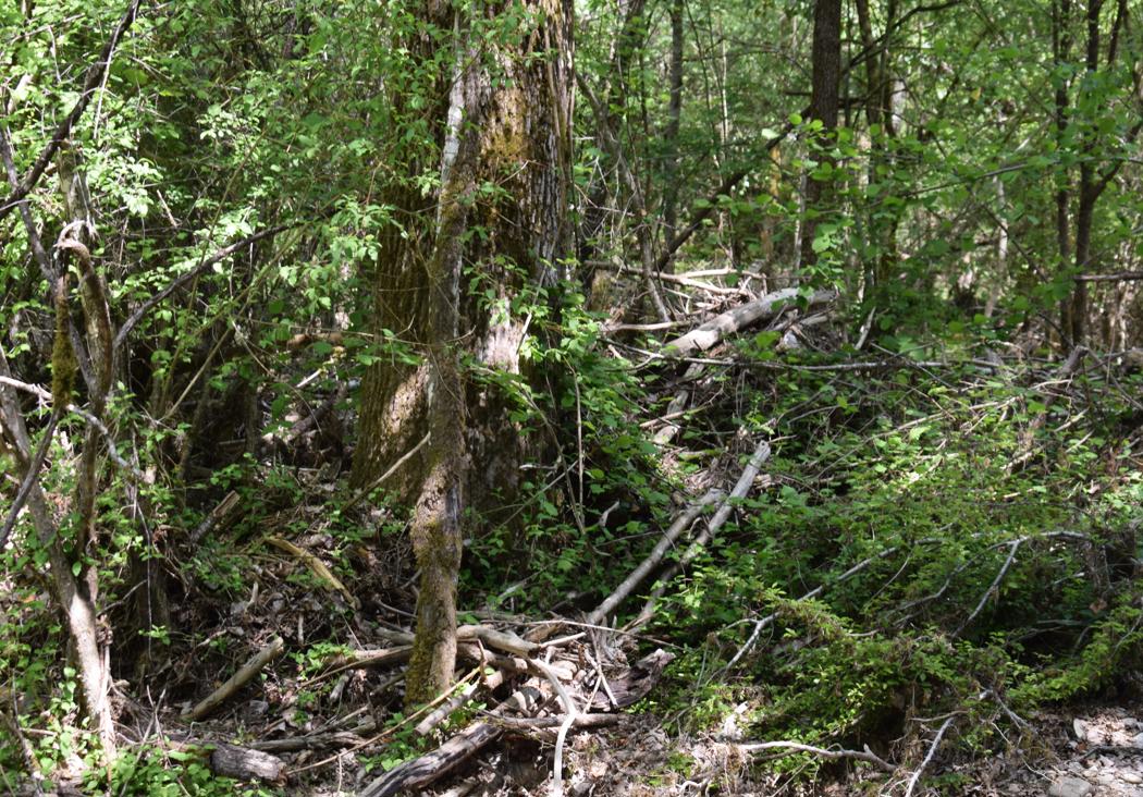
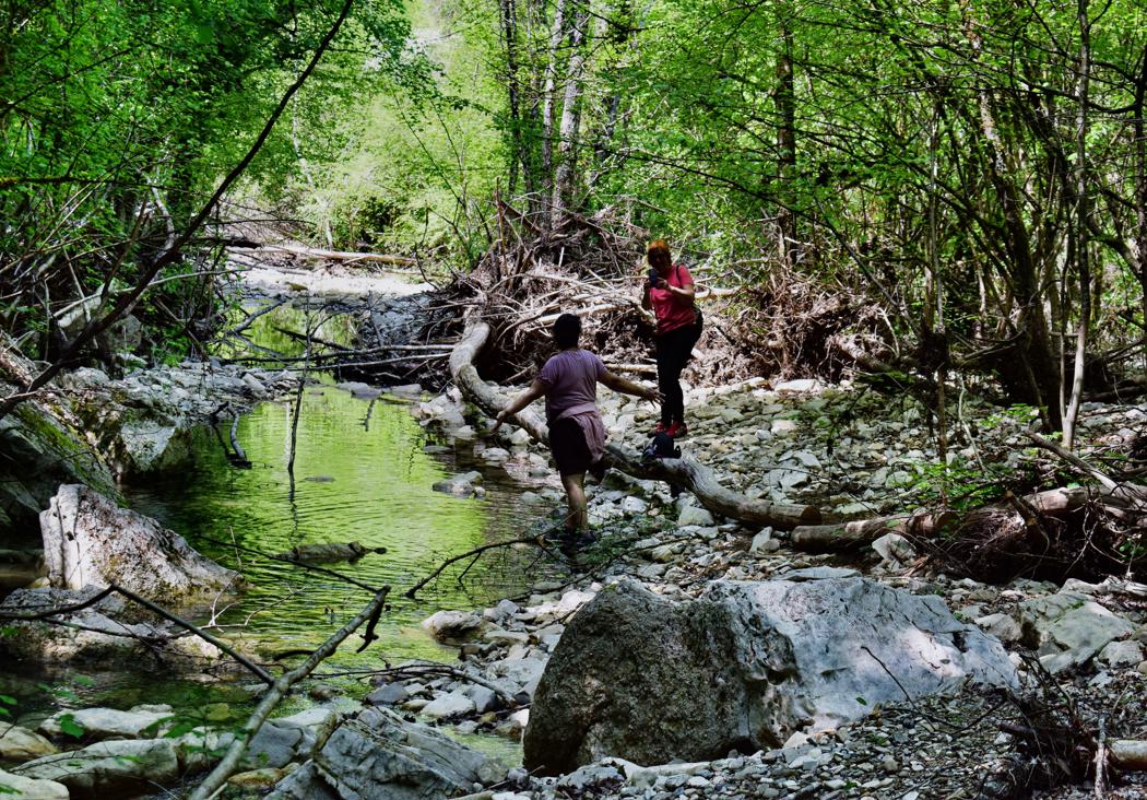
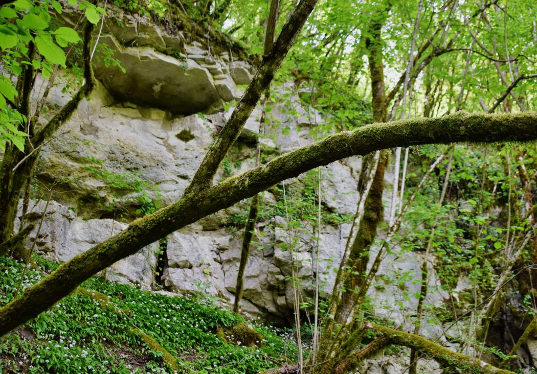
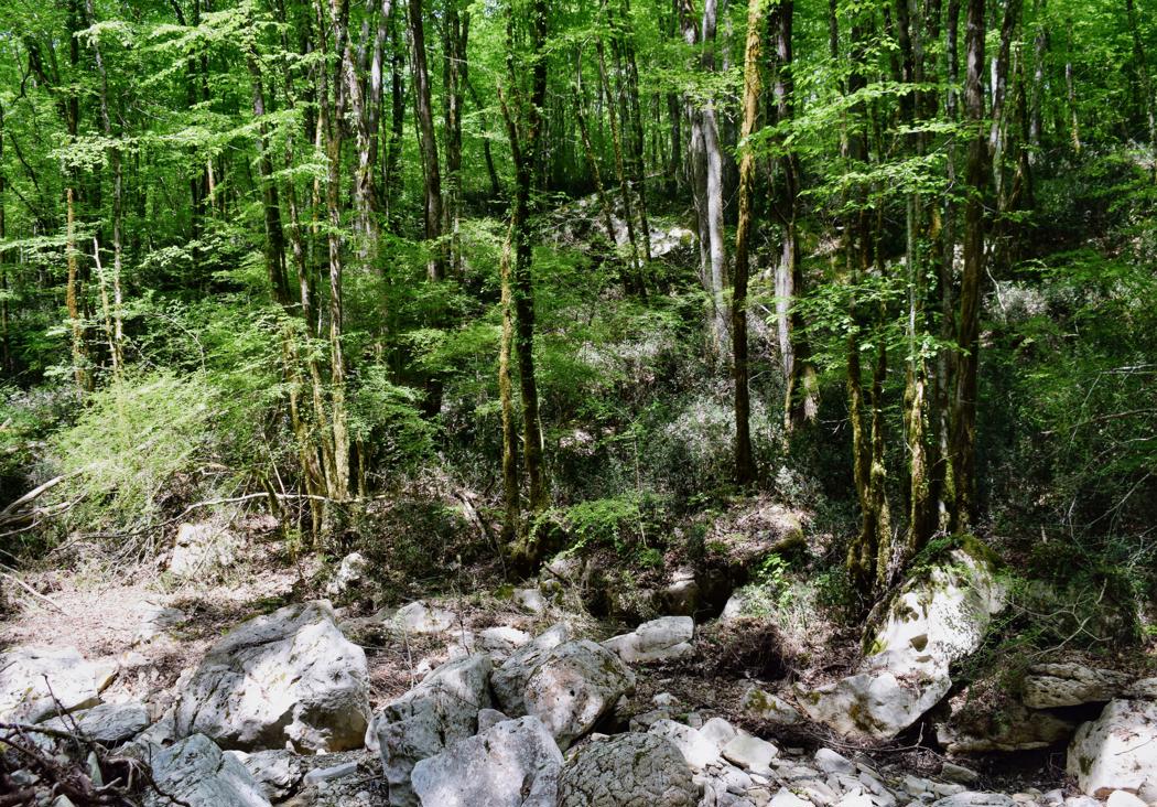
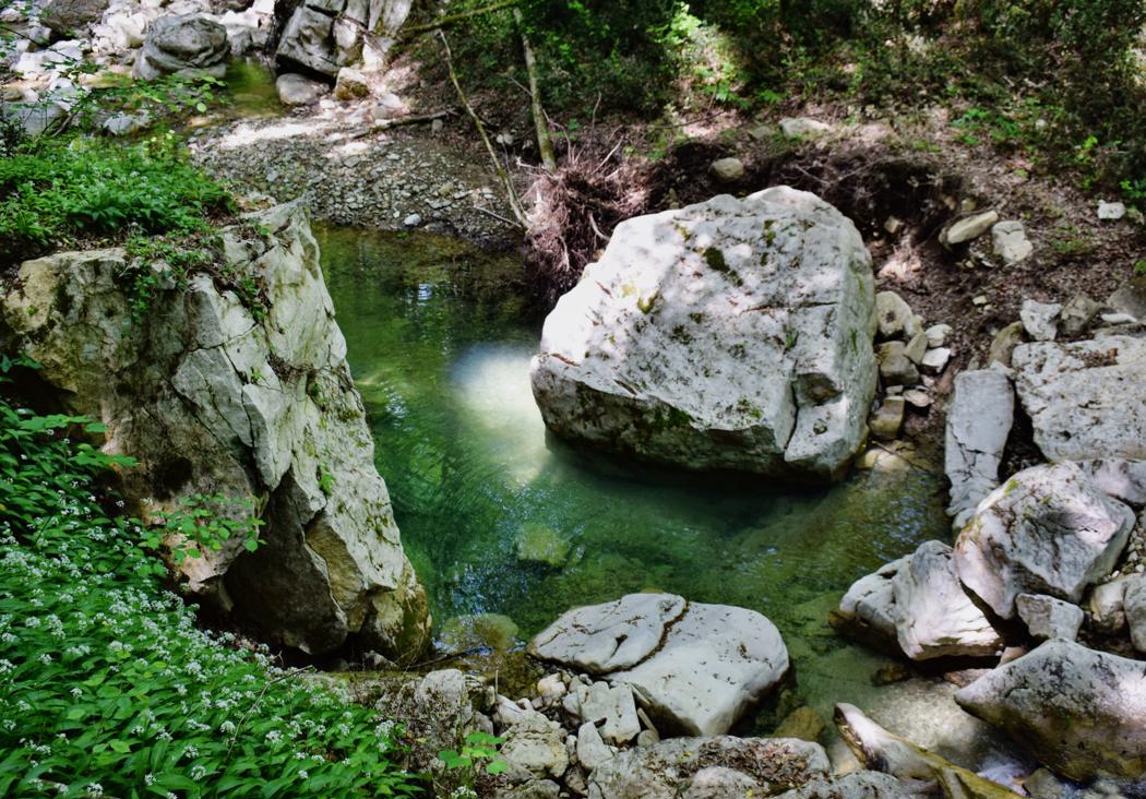
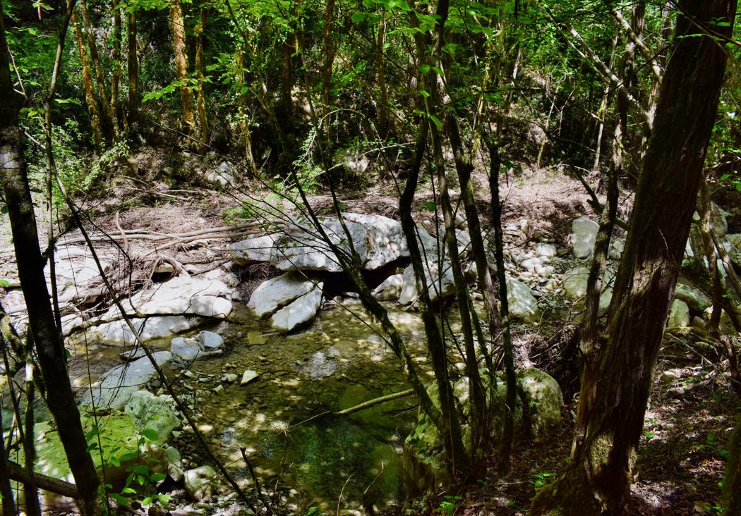
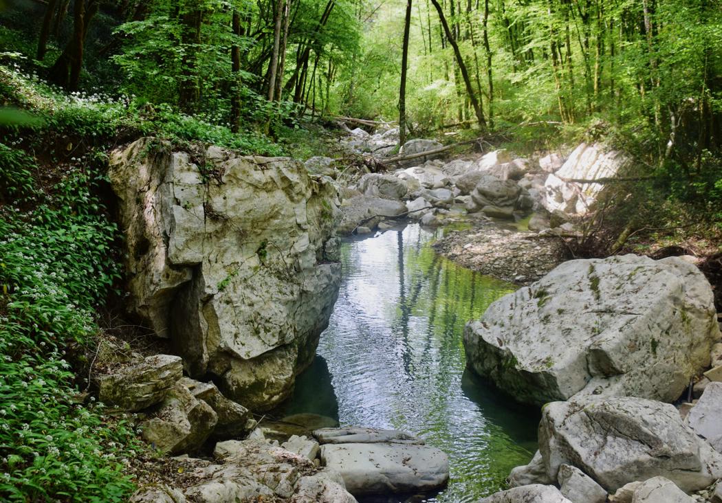
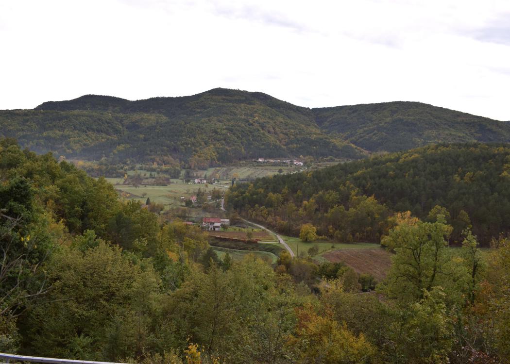
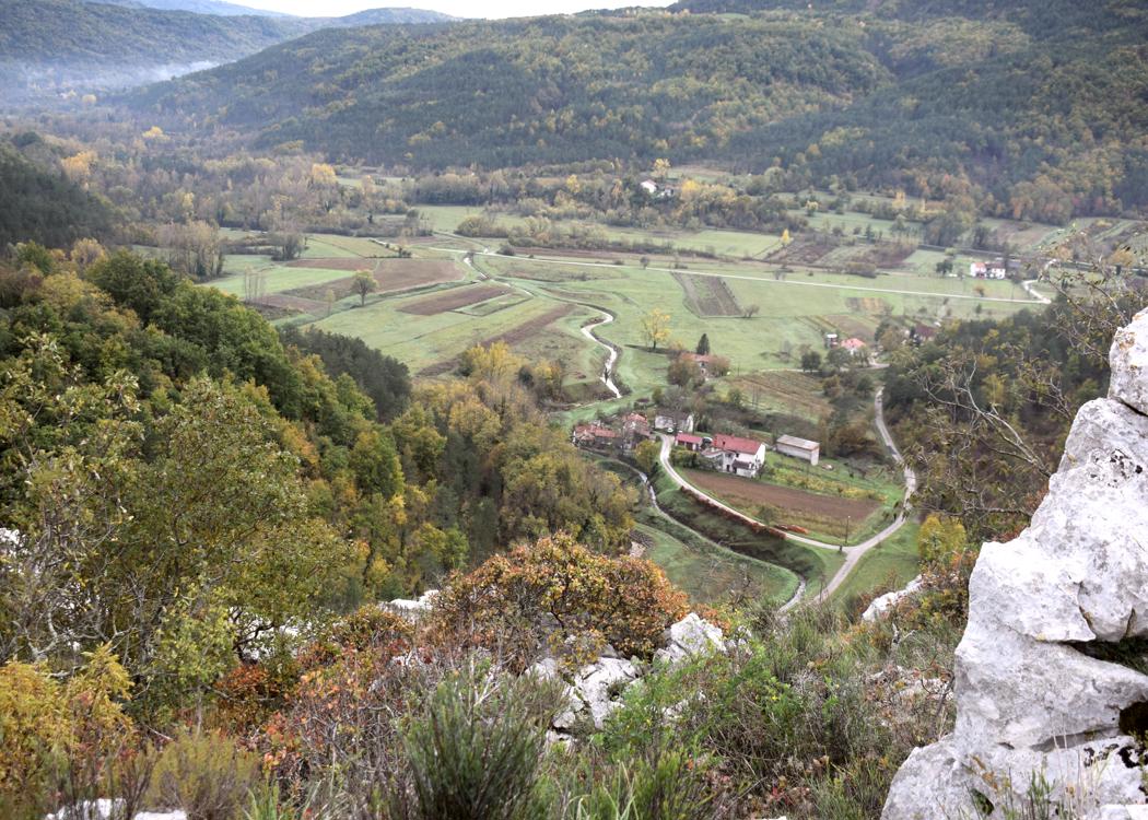
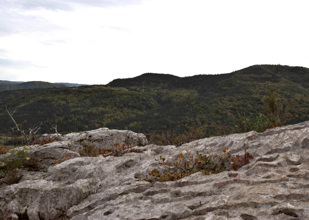
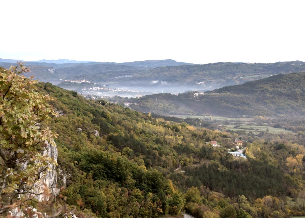
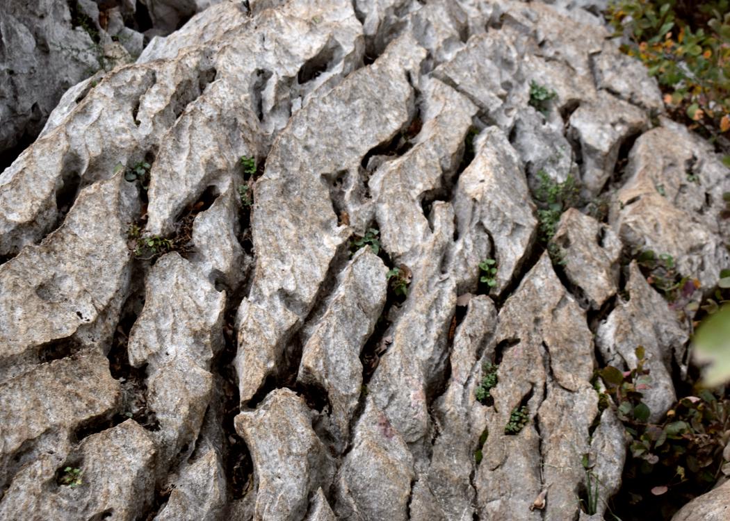
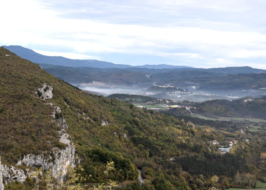
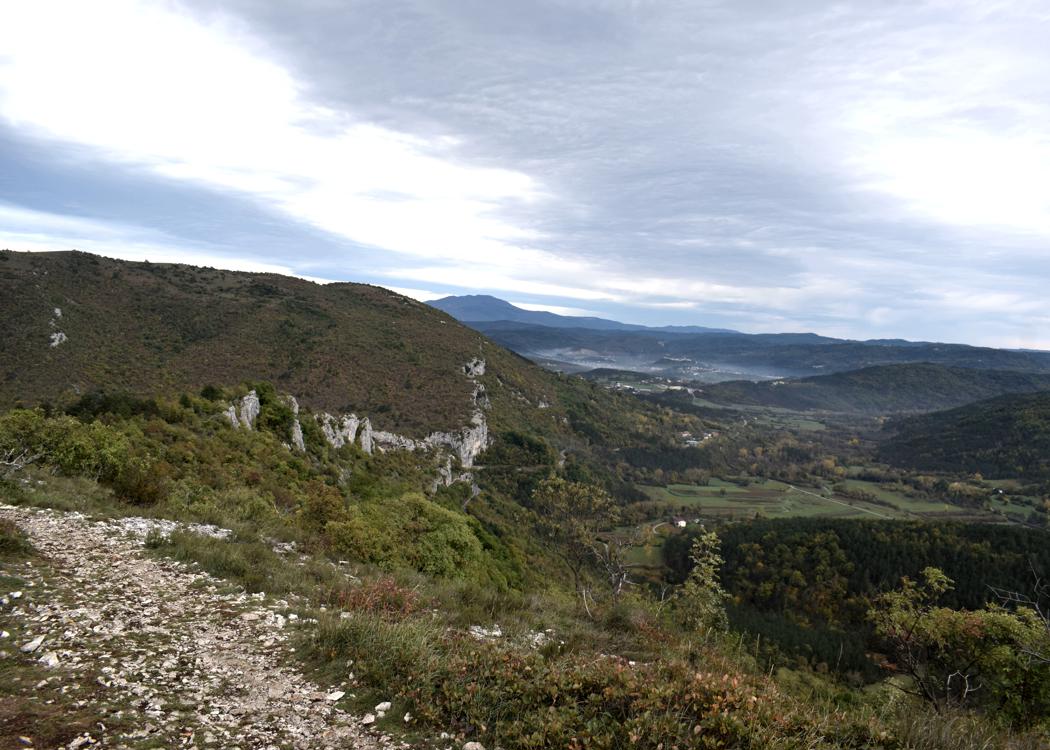
Name: Land Art Trail Stražica – Sapaćiča on the Mount Učka.
Place: Učka.
Coordinates: Start/finish 45.30951N – 14.21317 E.
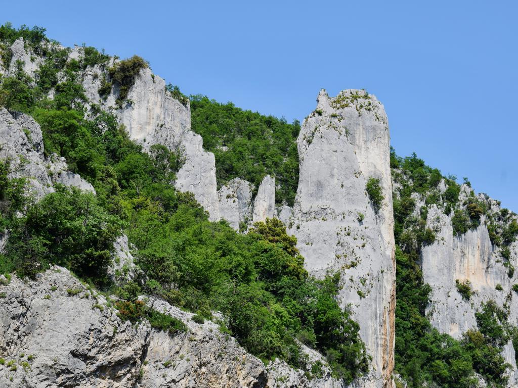
See too the former posts from 2020-07-29 and 2020-07-21-
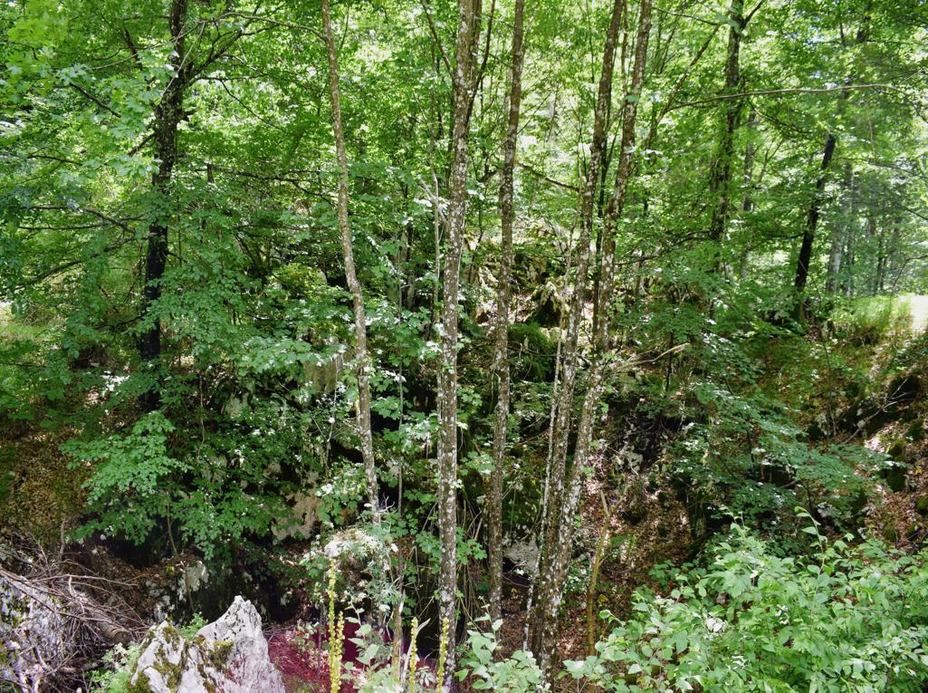
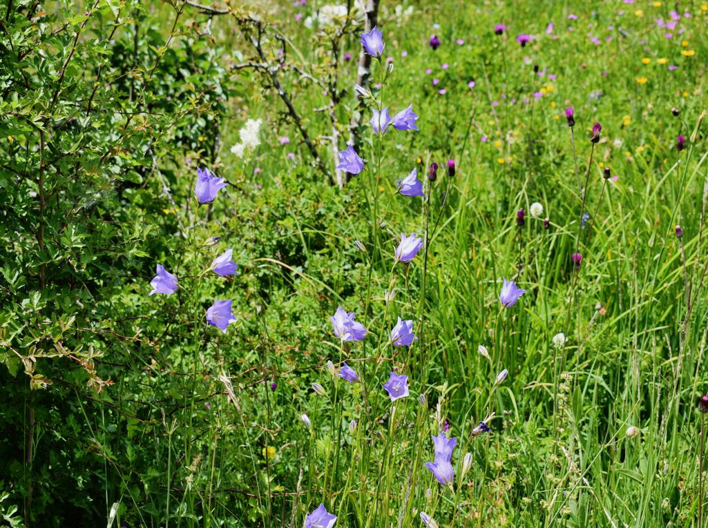
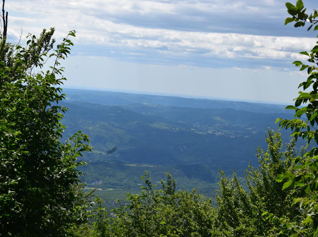
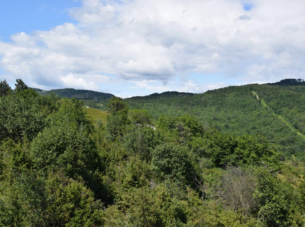
Name: Land Art Trail Stražica – Sapaćiča on the Mount Učka.
Place: Učka.
Coordinates: Start/finish 45.30951N – 14.21317 E.
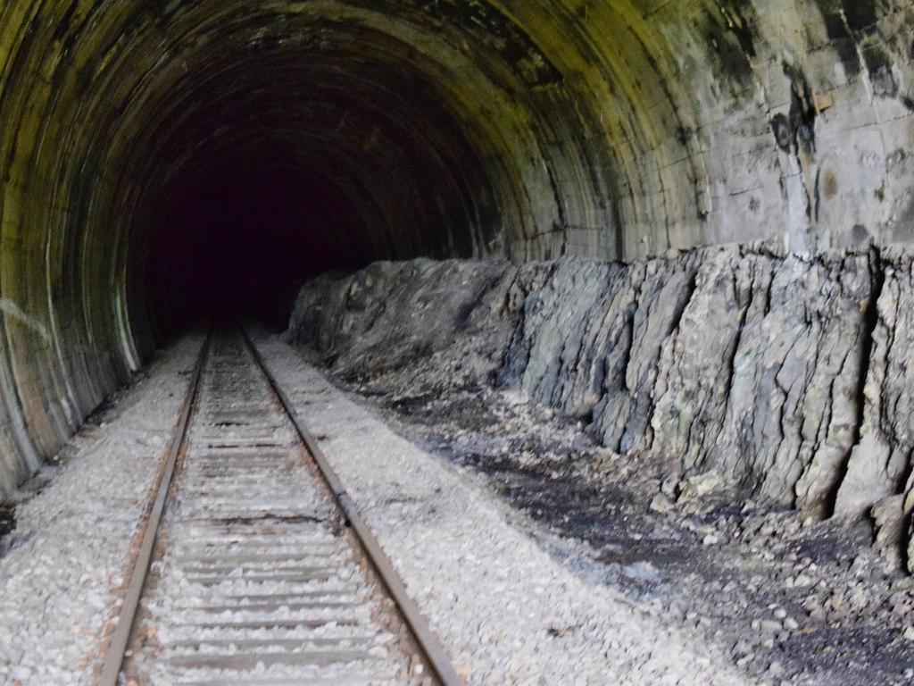
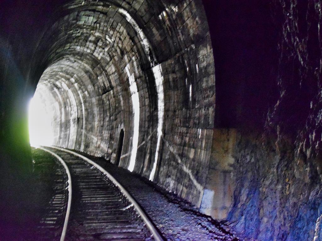
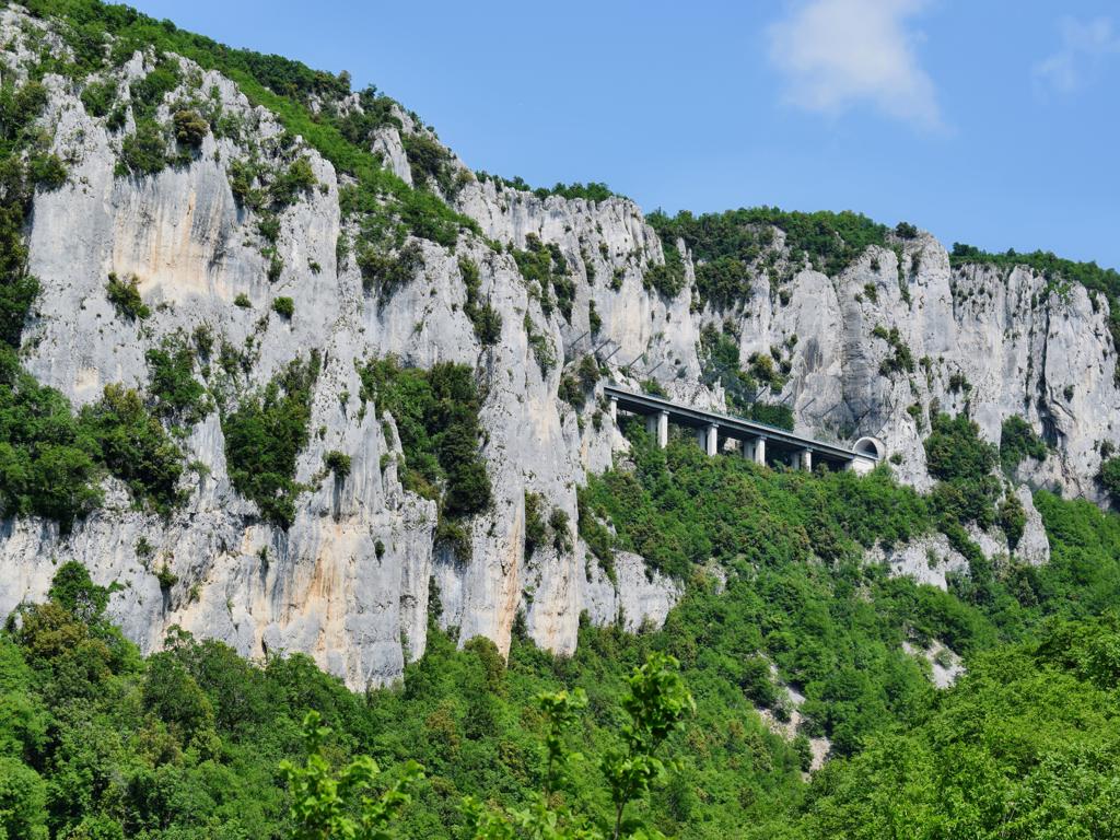
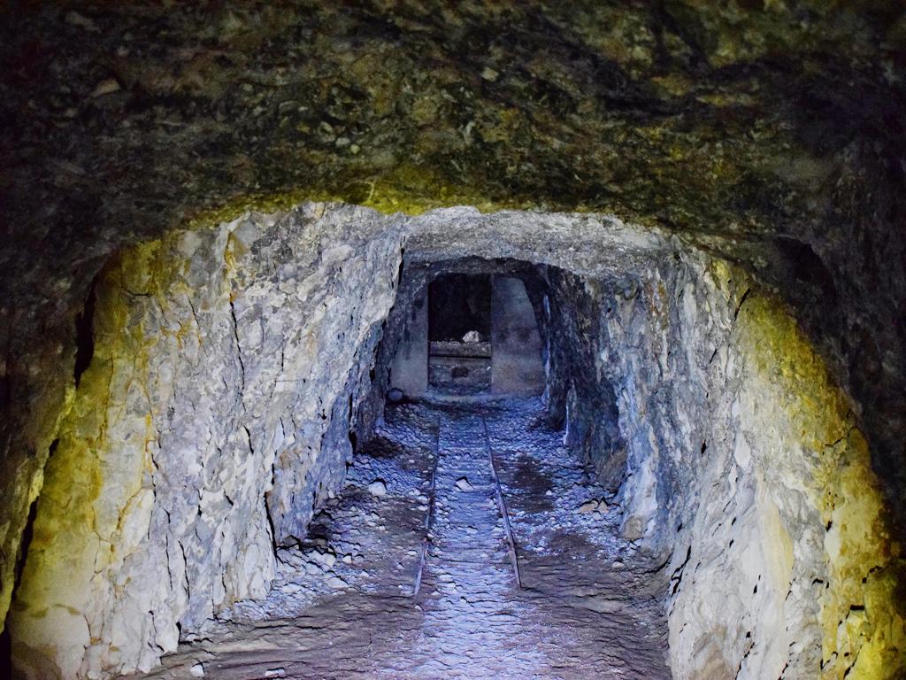
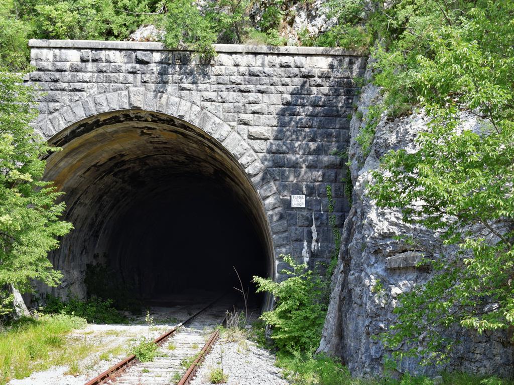
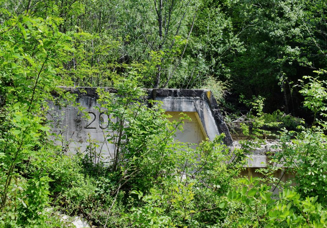
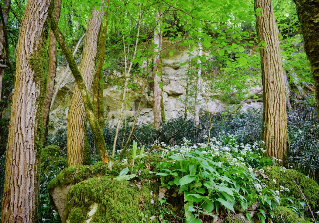
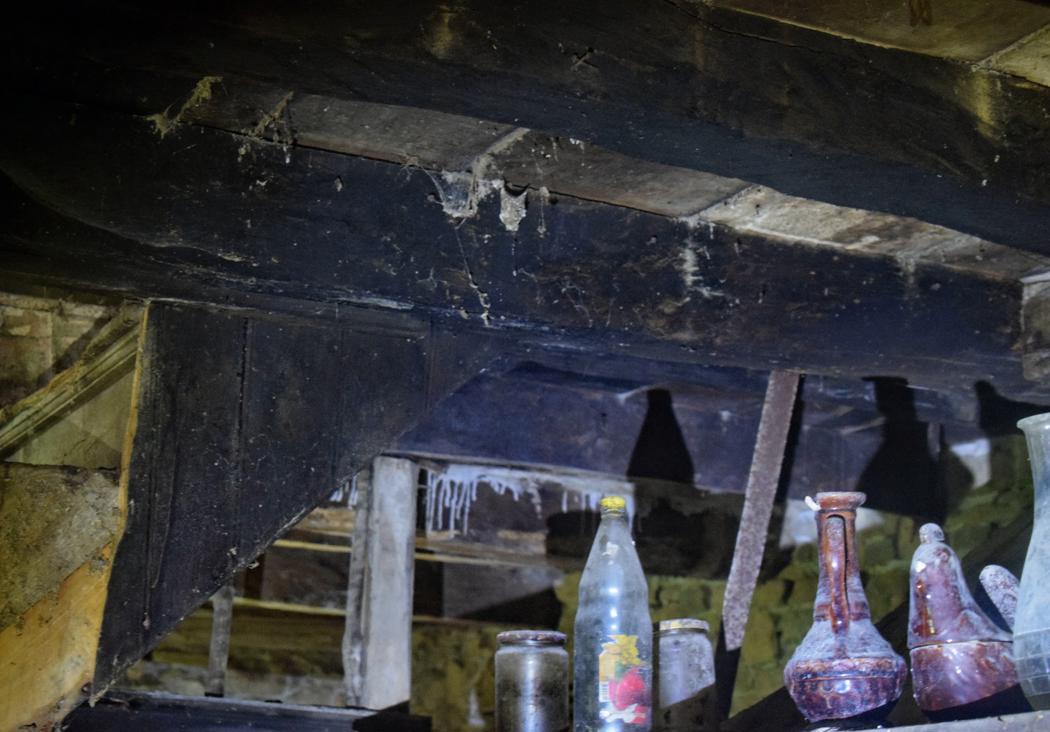
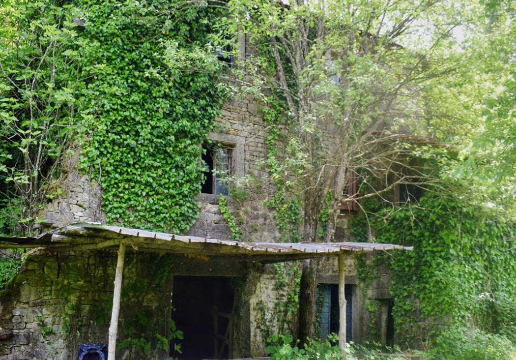
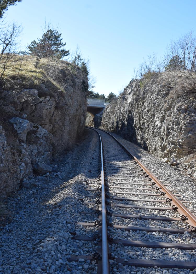
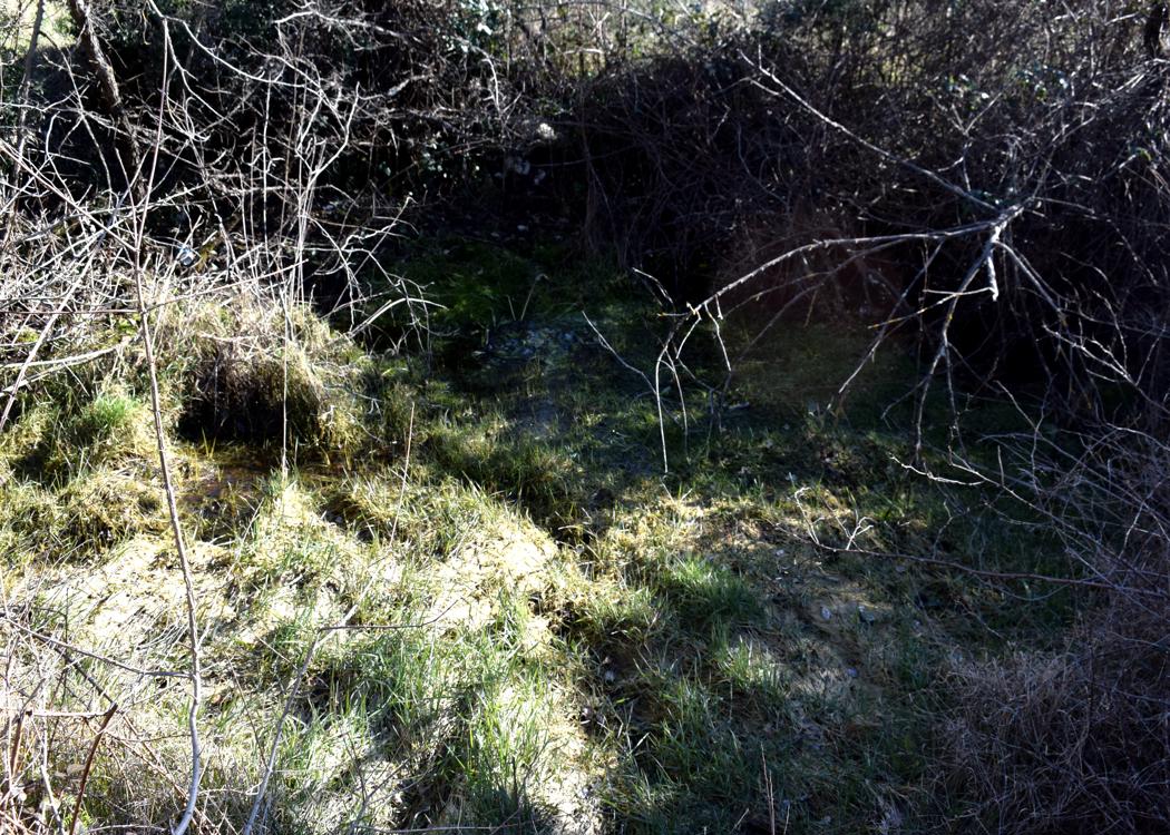
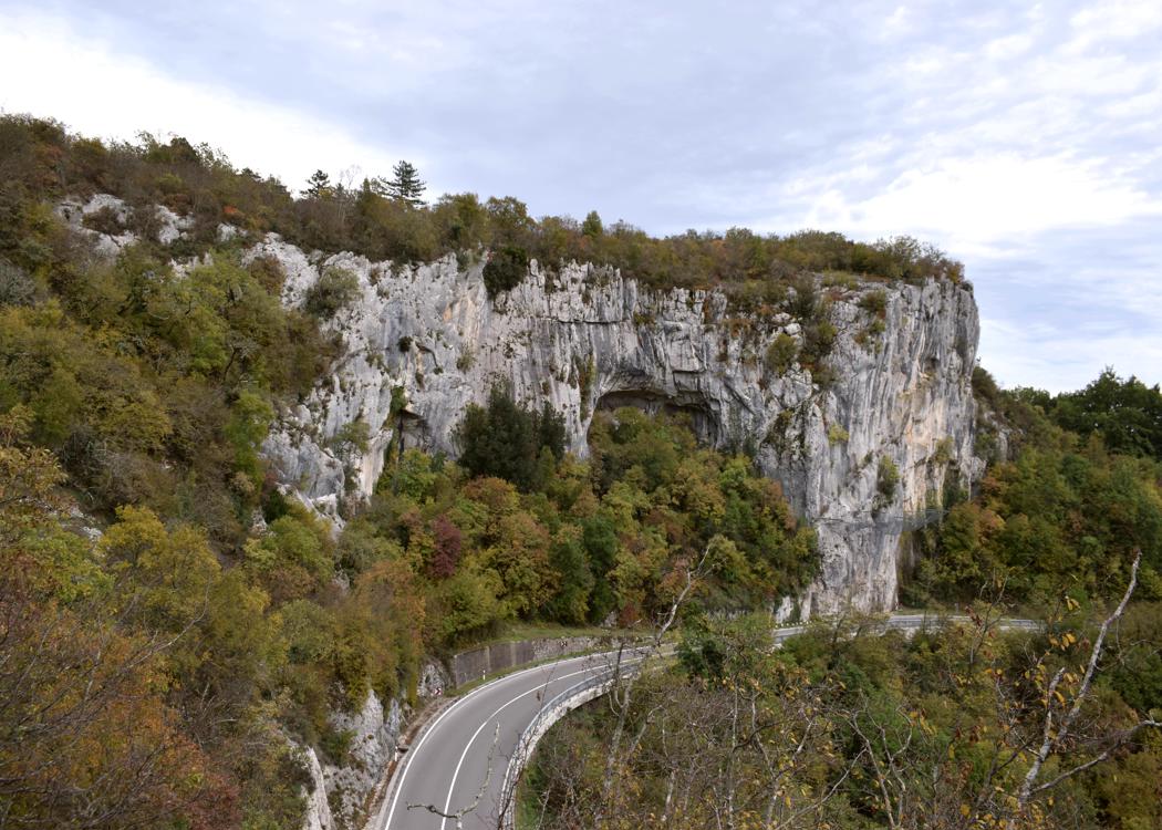
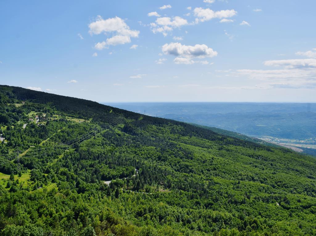
From the village down to the streams Cernjak and Vela Draga and up to the tunnels from the railroad Rasa – Lupoglav. The tunnels are 600 and 492 meters.
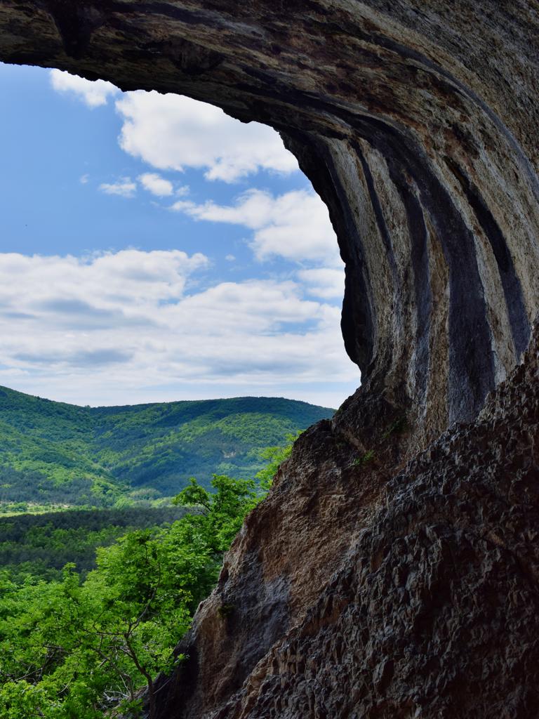
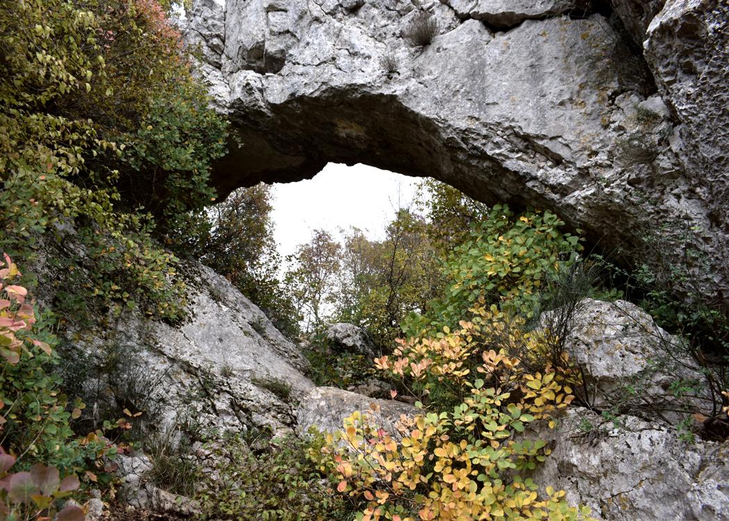
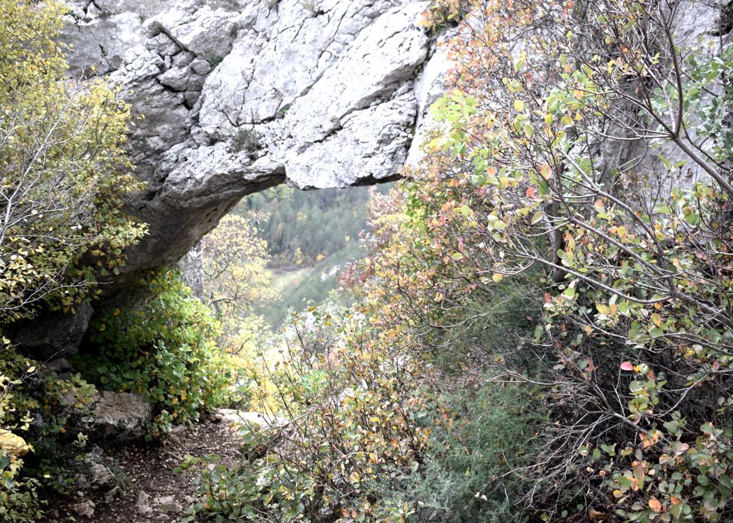
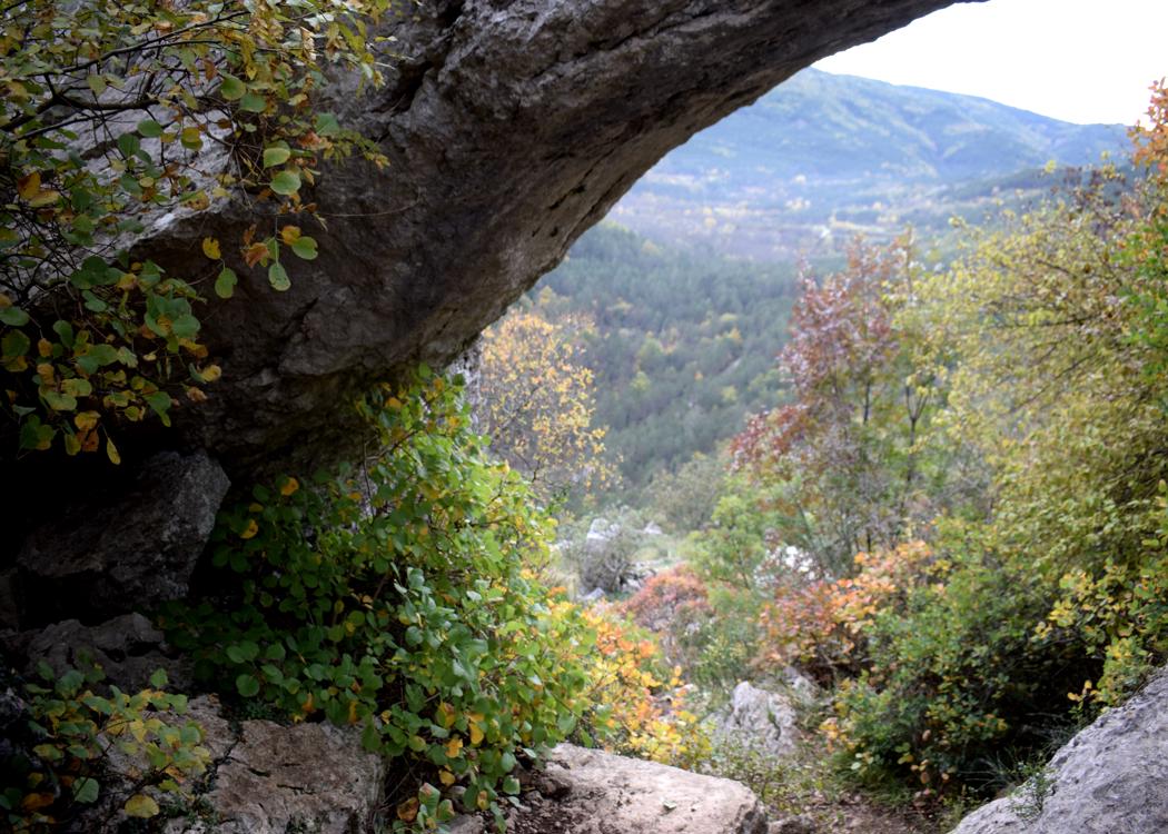
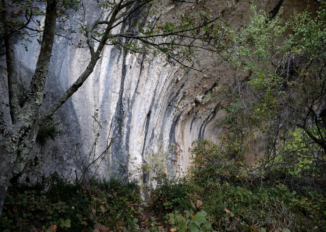
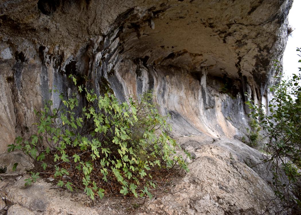
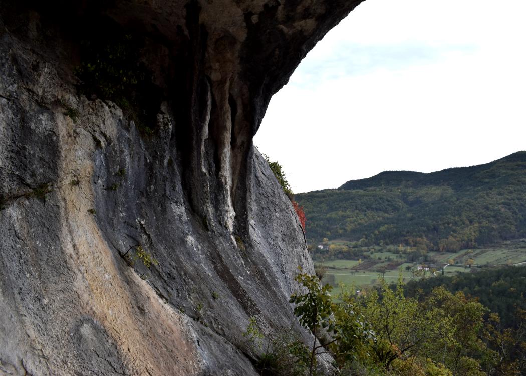
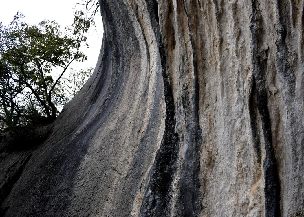
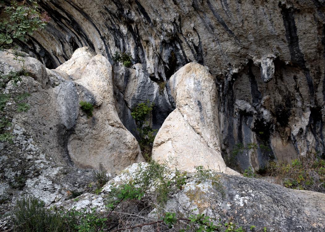
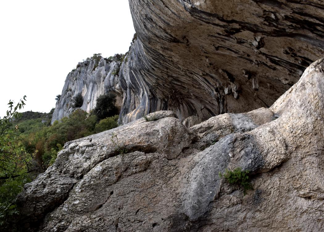
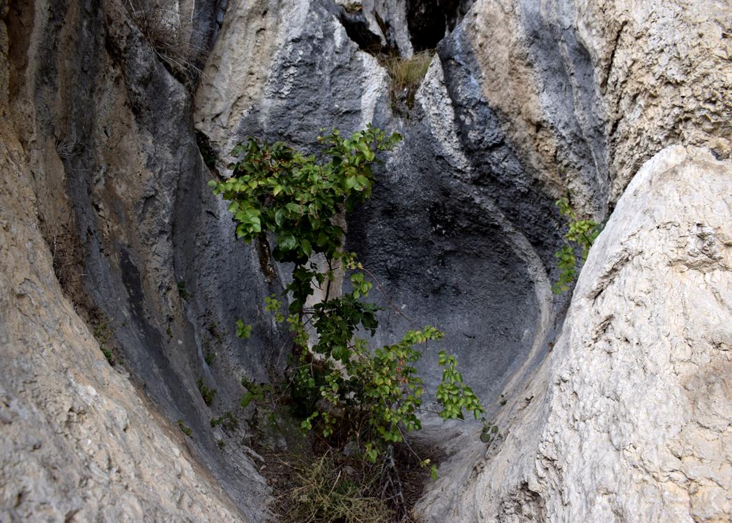
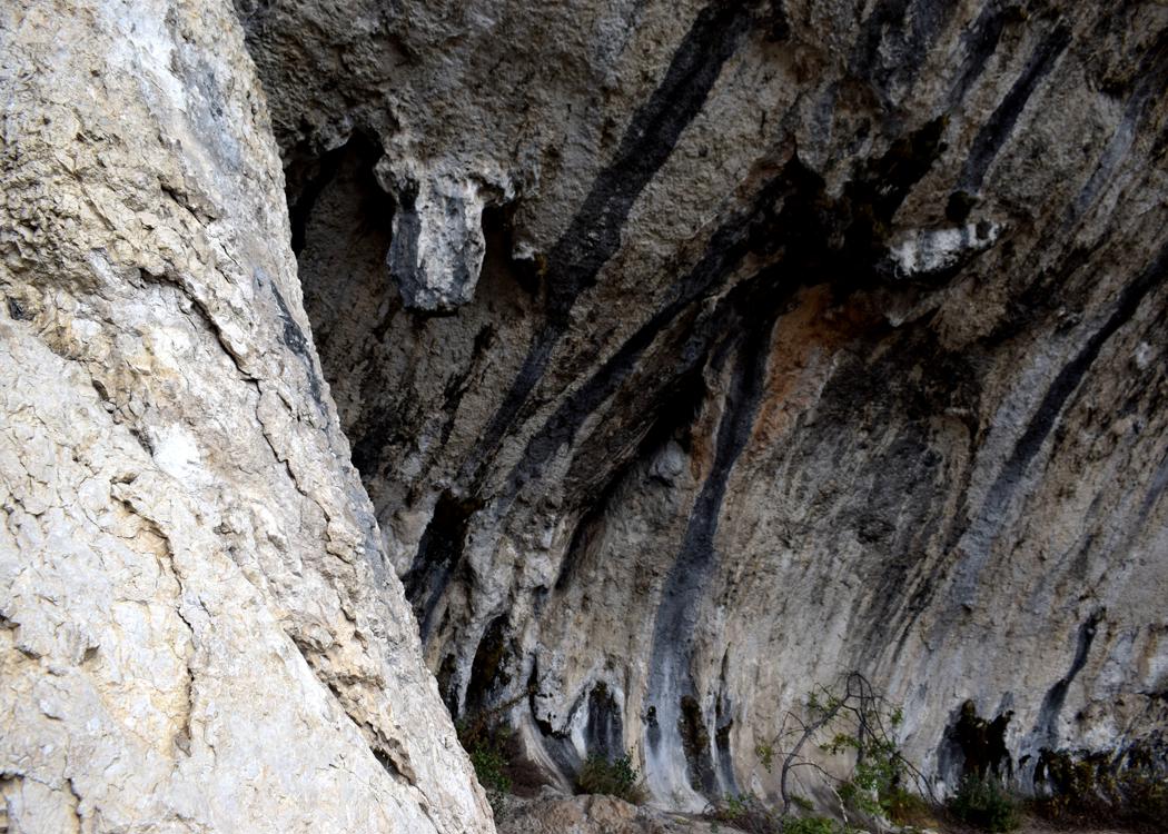
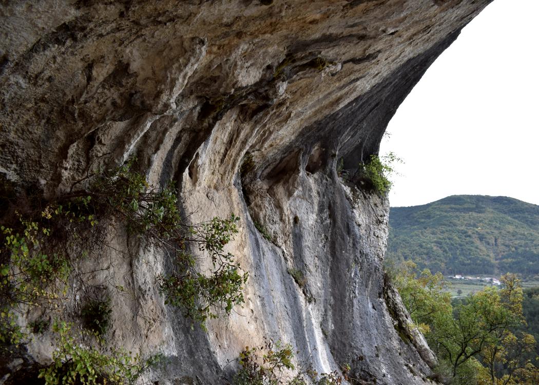
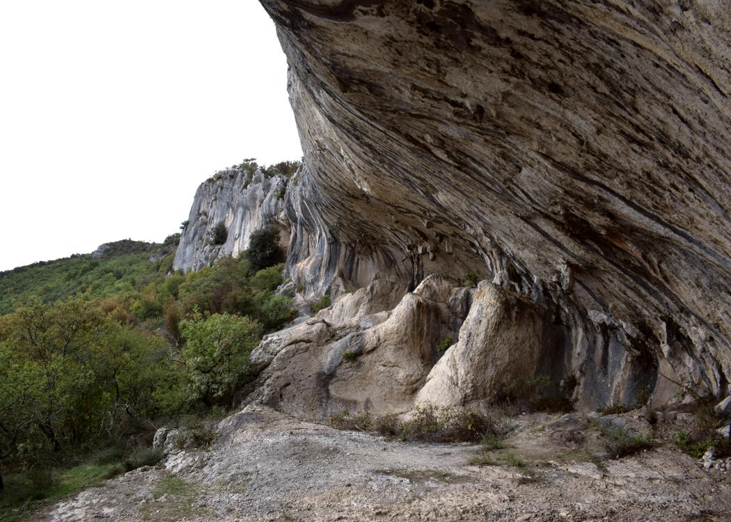
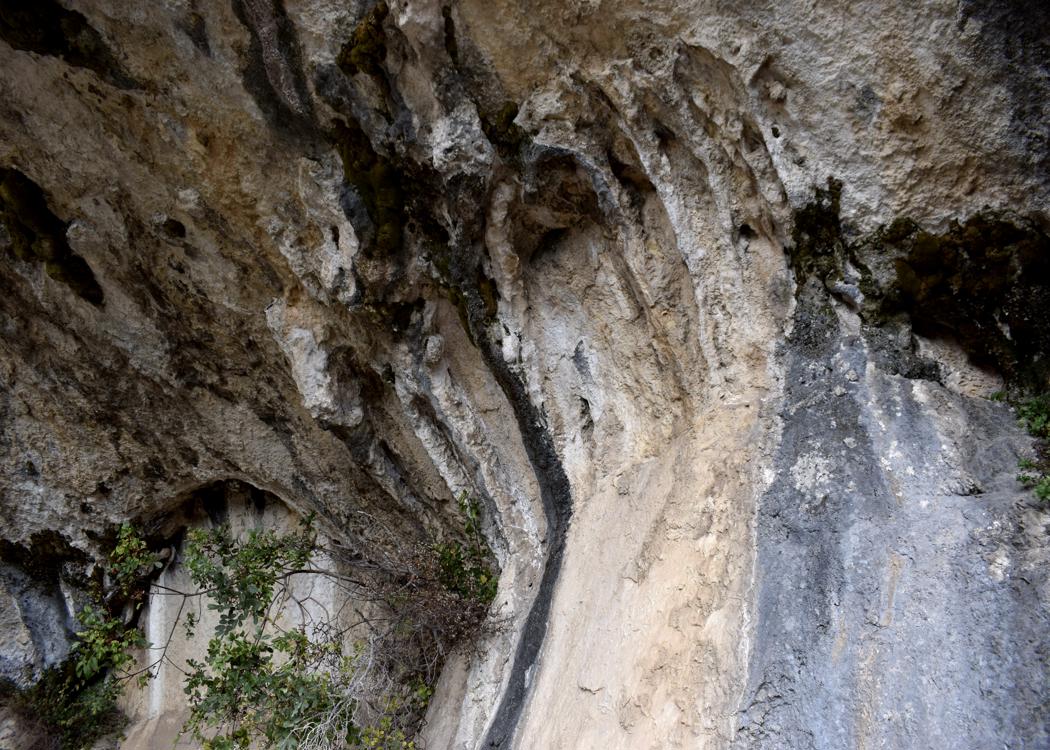
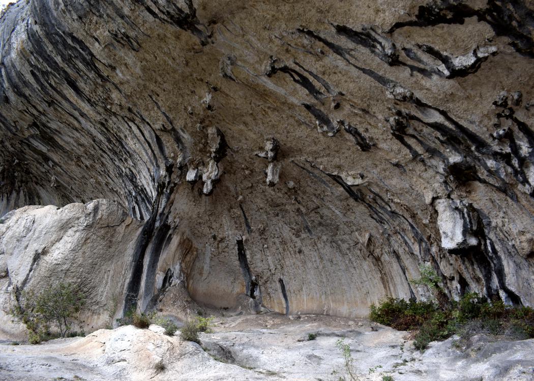
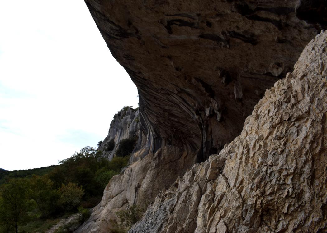
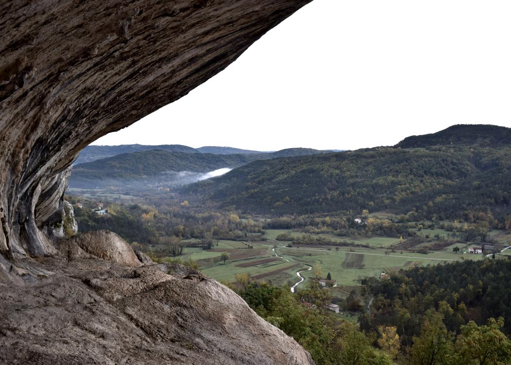
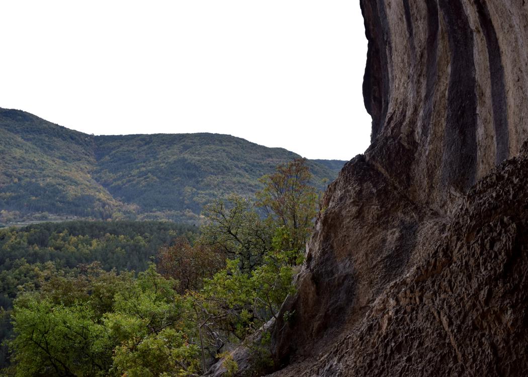
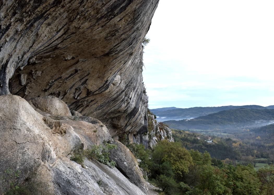
Naam: Wandelpad van de grens Istrië/Slovenië naar de natuurlijke brug en “De oren van Istrië” naar Veli Badin.
Plaats: Graćišće – (Koper).
Coördinaten: startpad 45.45302 N – 13. 92625 E, gesplitst in natuurlijke brug 45.45489 N – 13.1392700 E, natuurlijke brug en “oren van Istrië” 45.45432 N – 13.92426 E, Veli Badin 45.45928 N – 13.91423 E.
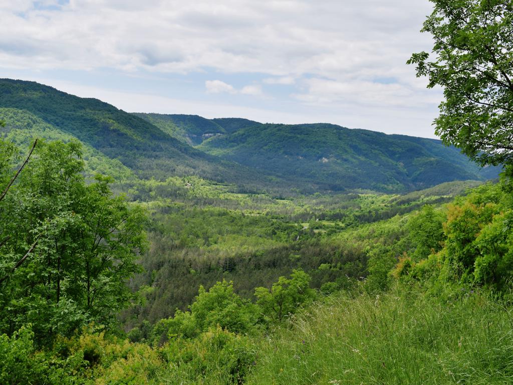
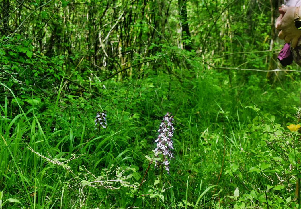
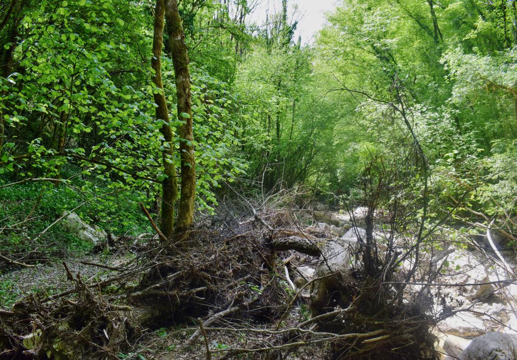
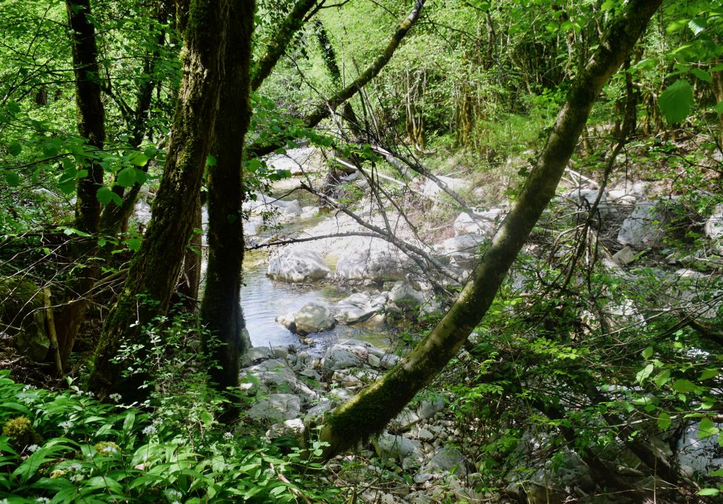
Name: Trail along the stream Senica to the hamlet Senica.
Place: Valari – Senica – (Buzet).
Coordinates: start 45.35260 N – 13.90201 E, hamlet Senica 45.35986 N – 13.92681 E.
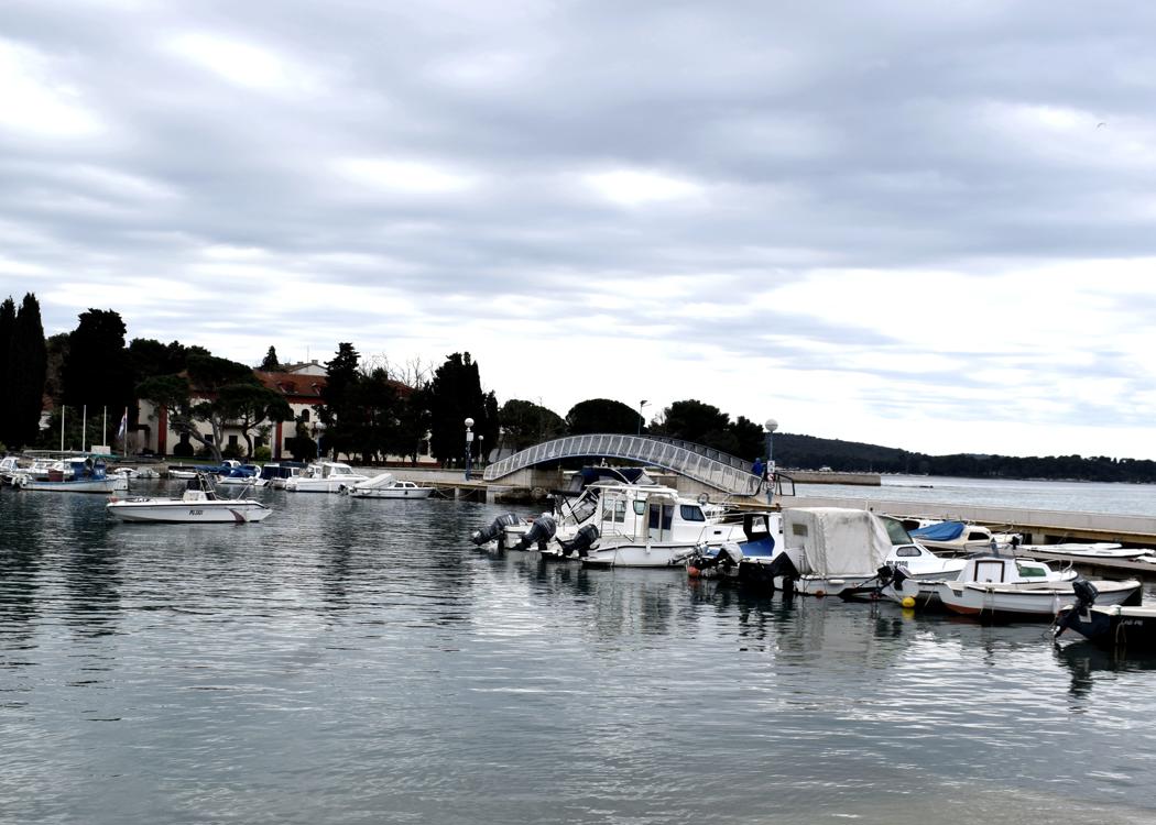
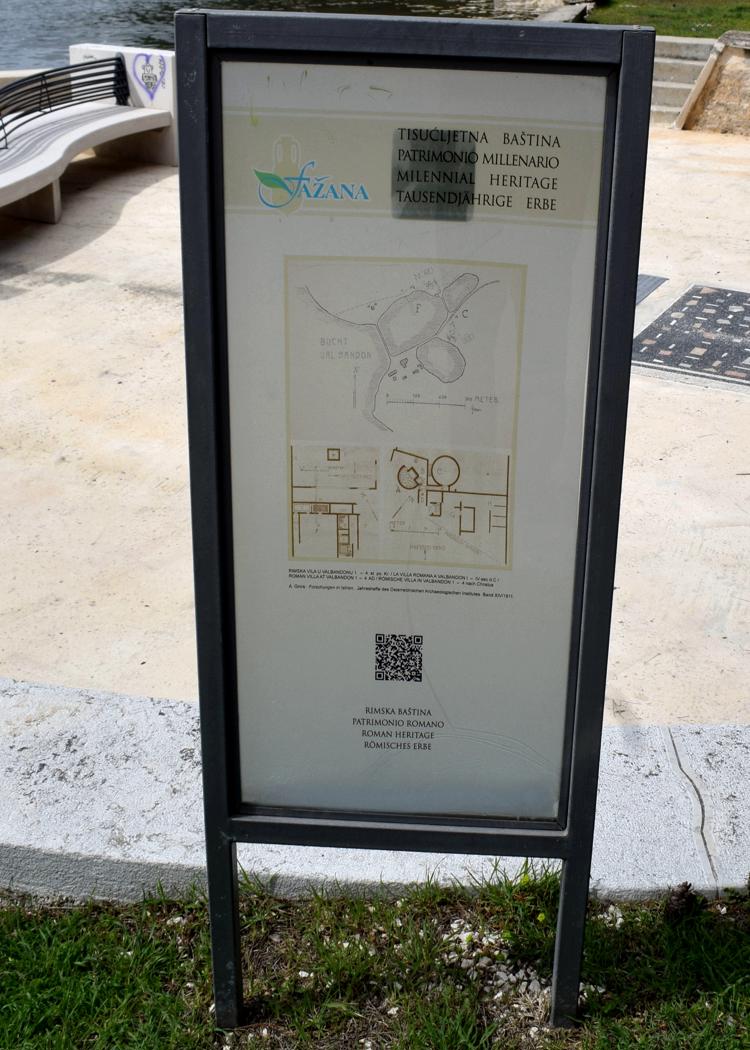
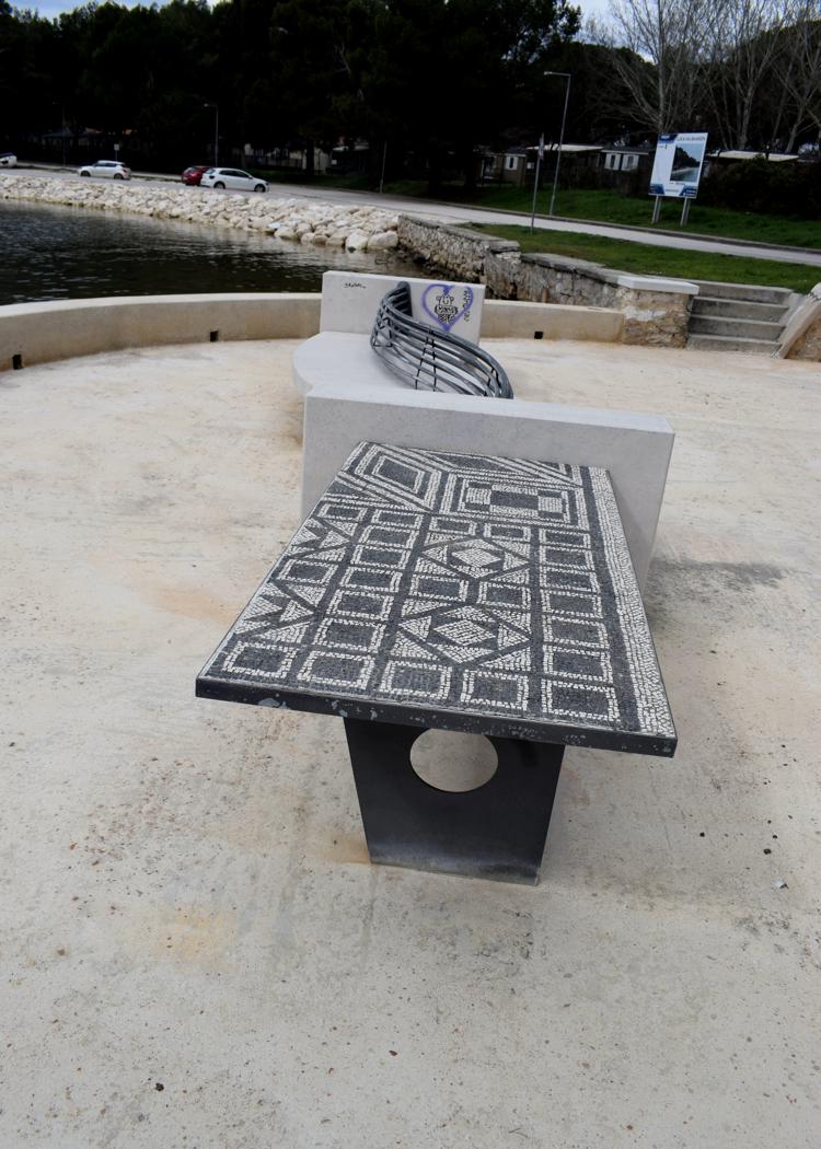
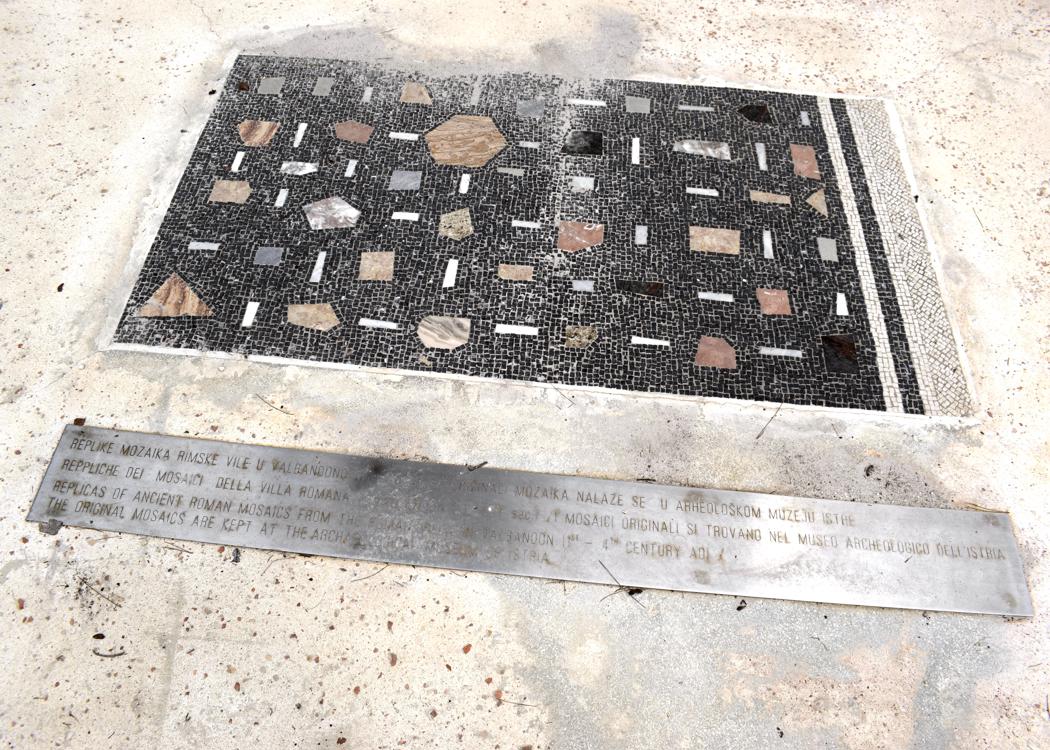
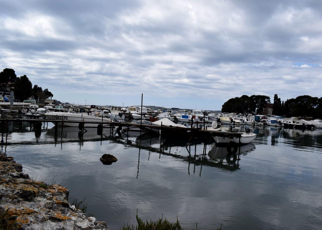
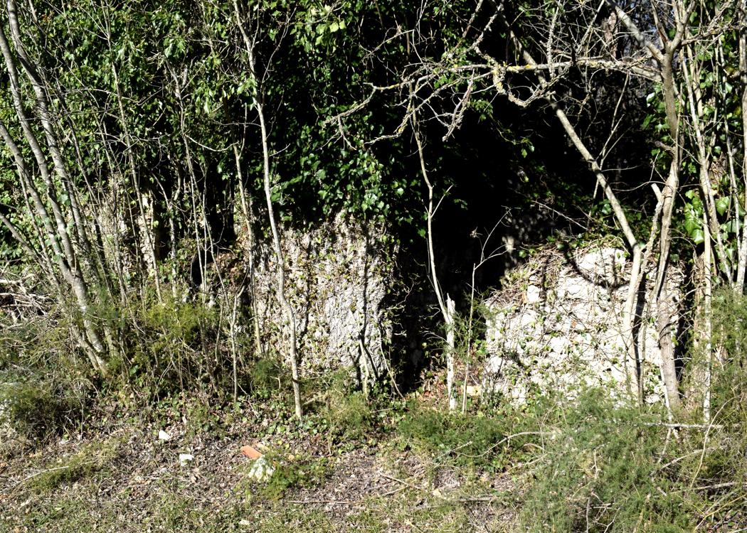
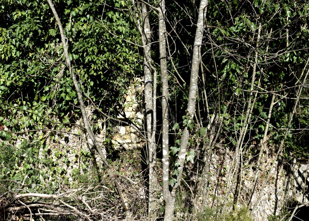
From the first to the 5th century, a large luxurious maritime Roman villa was located on this bay. During the construction of a new quay wall on the north side, three decorated hermes and plinths were found during dredging and archaeological research at the end of 2022.
A herma is sculpture with a head and a torso above a plain usually squared lower section and belonged to the garden architecture of wealthy families.
This area also has great natural values because freshwater mixes with seawater, resulting in a large number of plant and animal species.
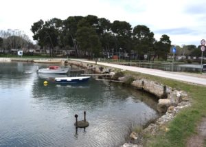
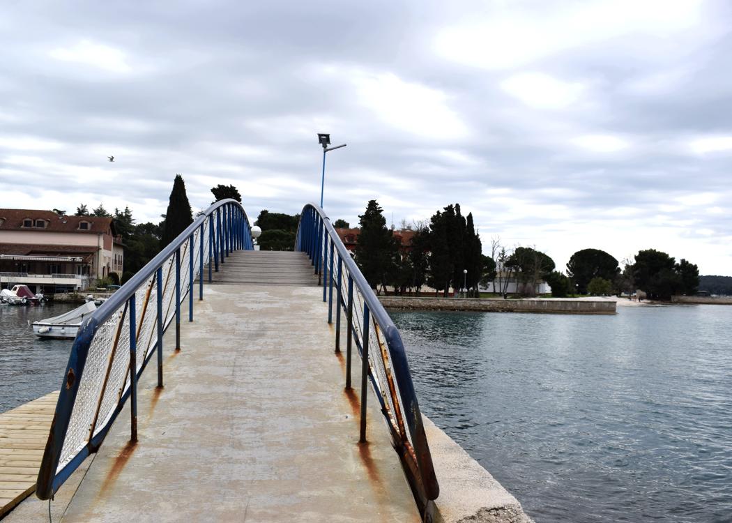
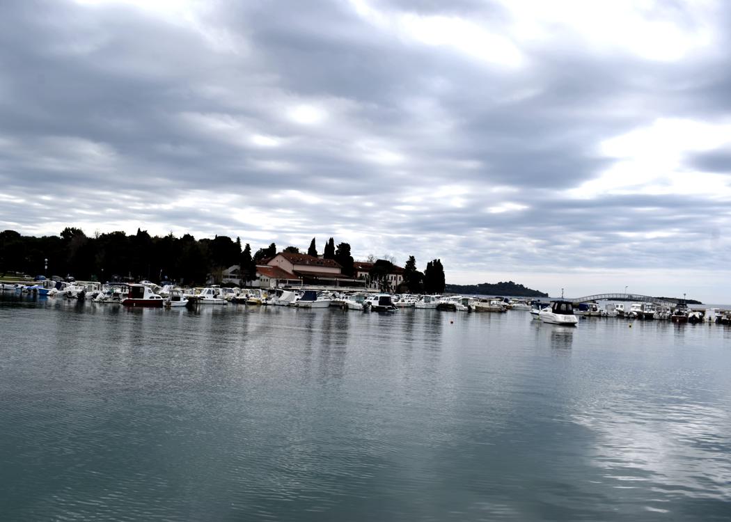
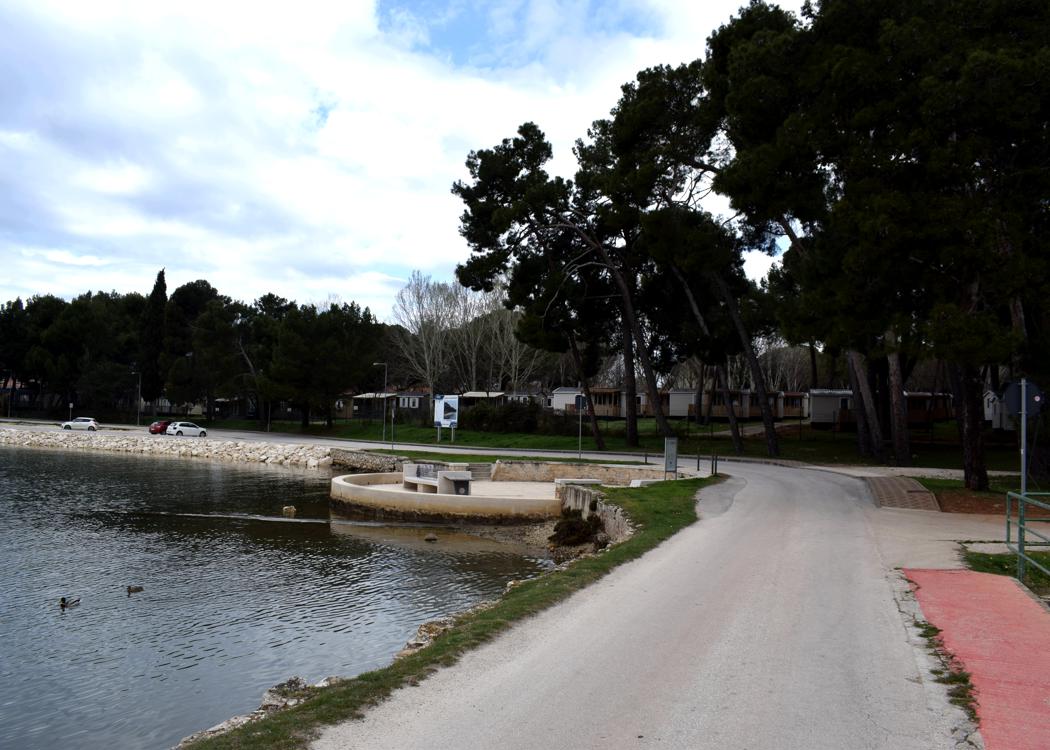
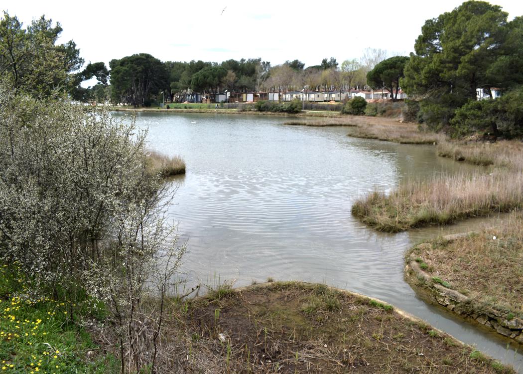
Name: Albandon harbor with Ribnjak bay.
Place: Valbandon – (Fažana).
Coordinates: 44.9131 N – 13.8226 E.
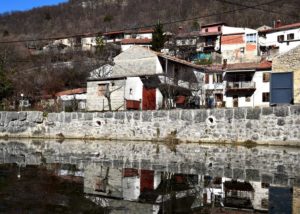
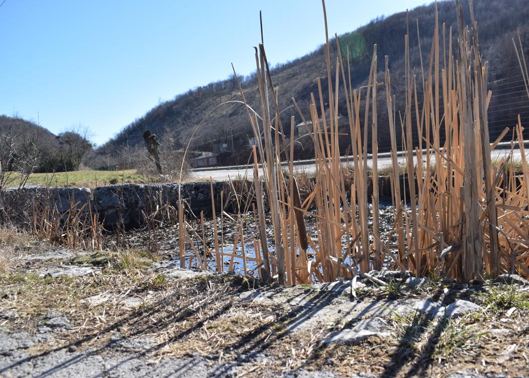
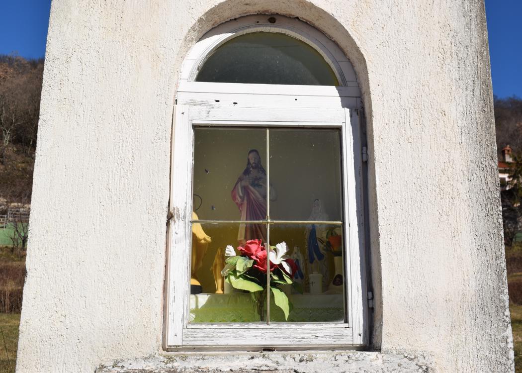
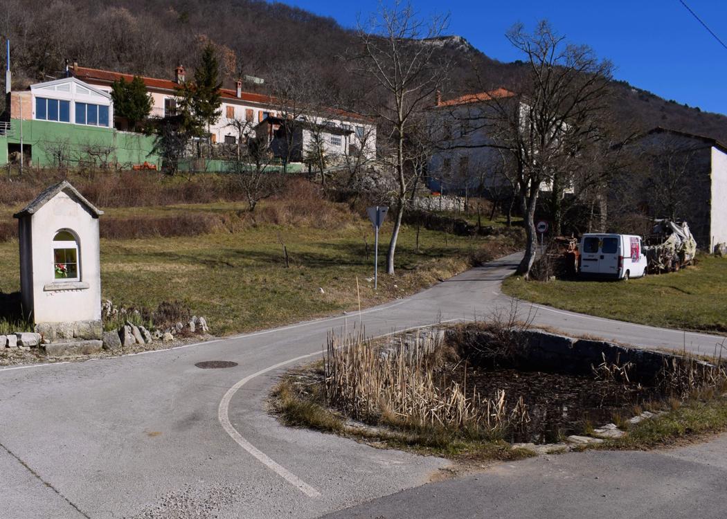
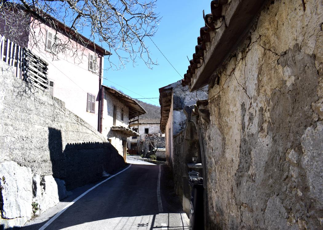
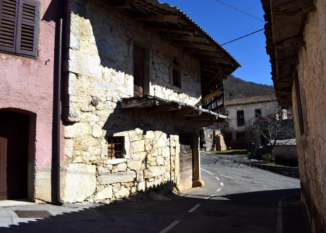
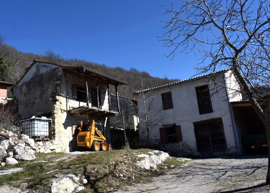
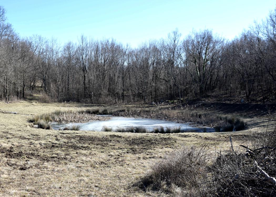
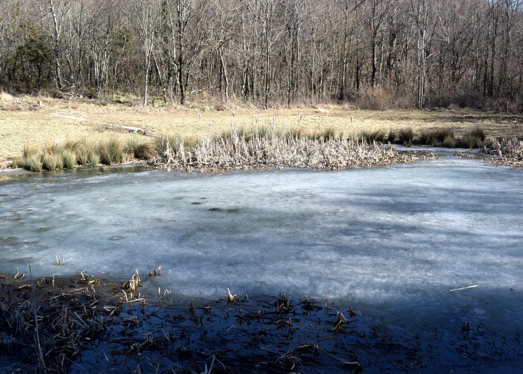
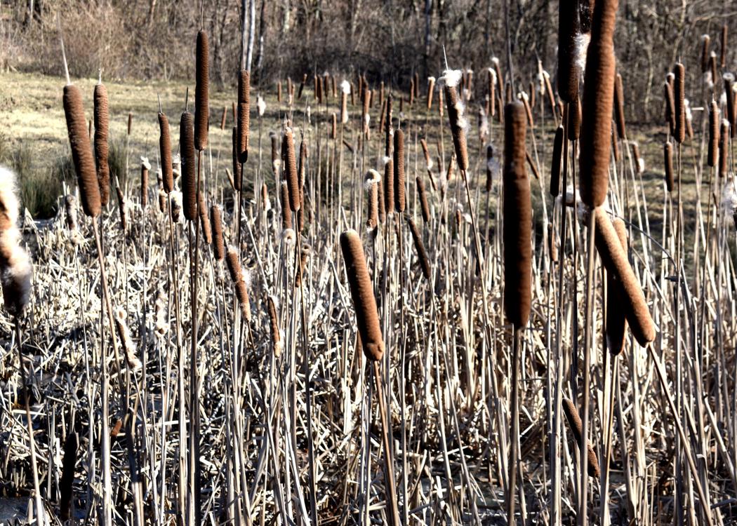
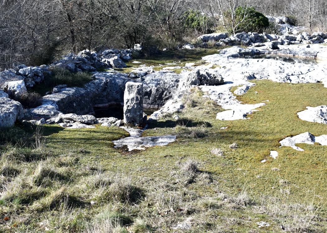
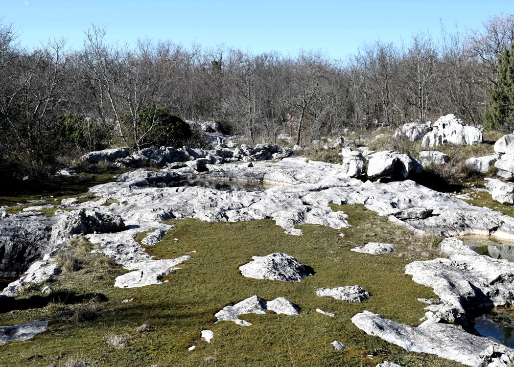
Name: The village Rakitovec – the pond Kaljuza.
Place: Rakitovec – (Koper).
Coordinates: Rakitovec 45.46923 N -13.96599 E, Chapel and puddle 45.46987 N – 13.99624 E,
Pond Kaljuža 45.46443 N – 13.96678.
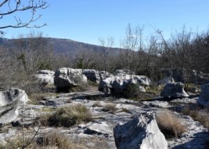
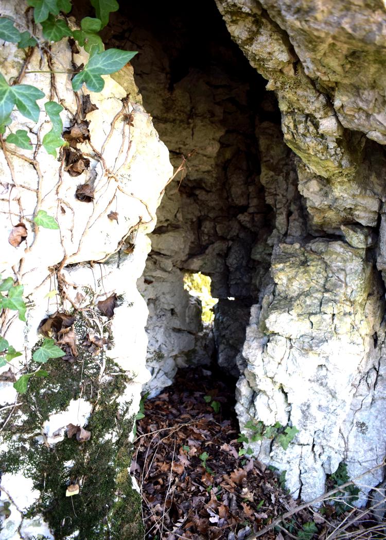
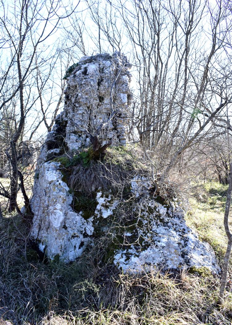
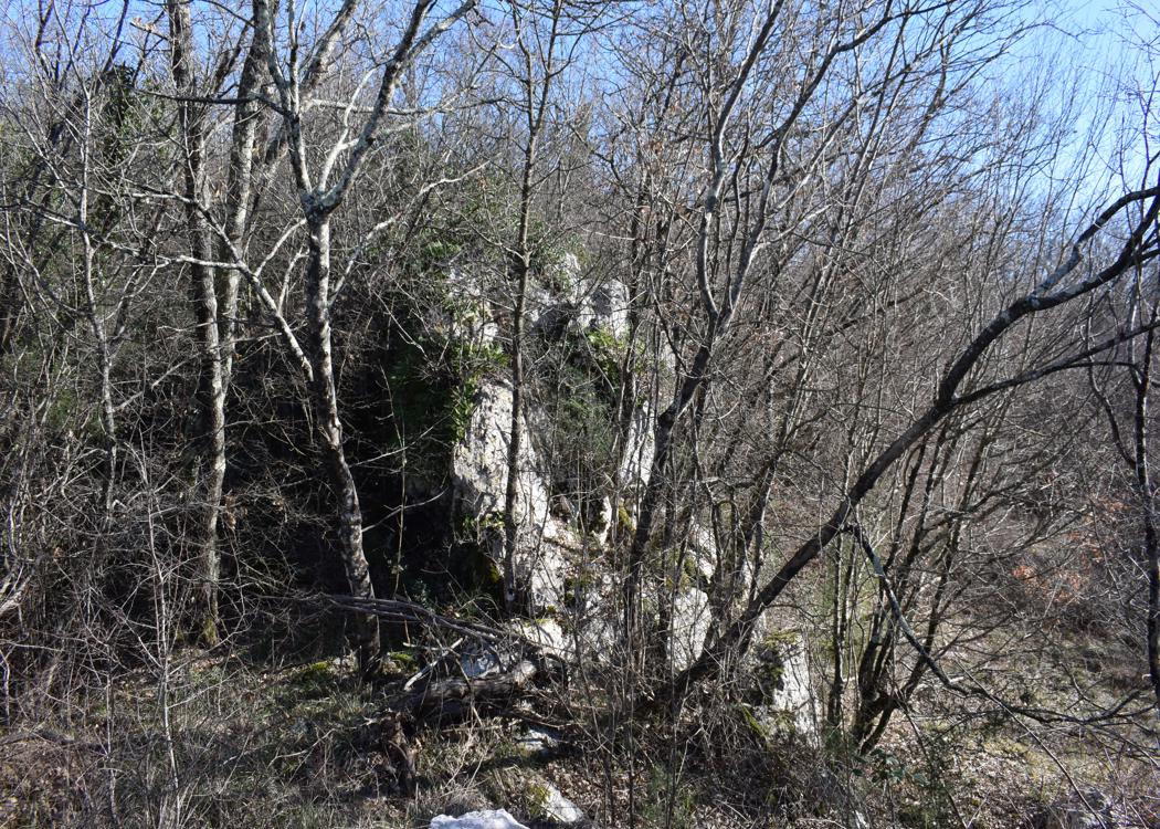
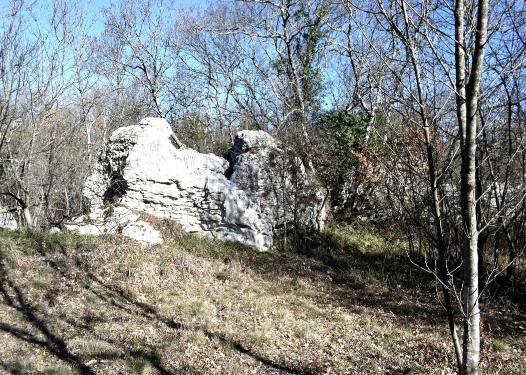
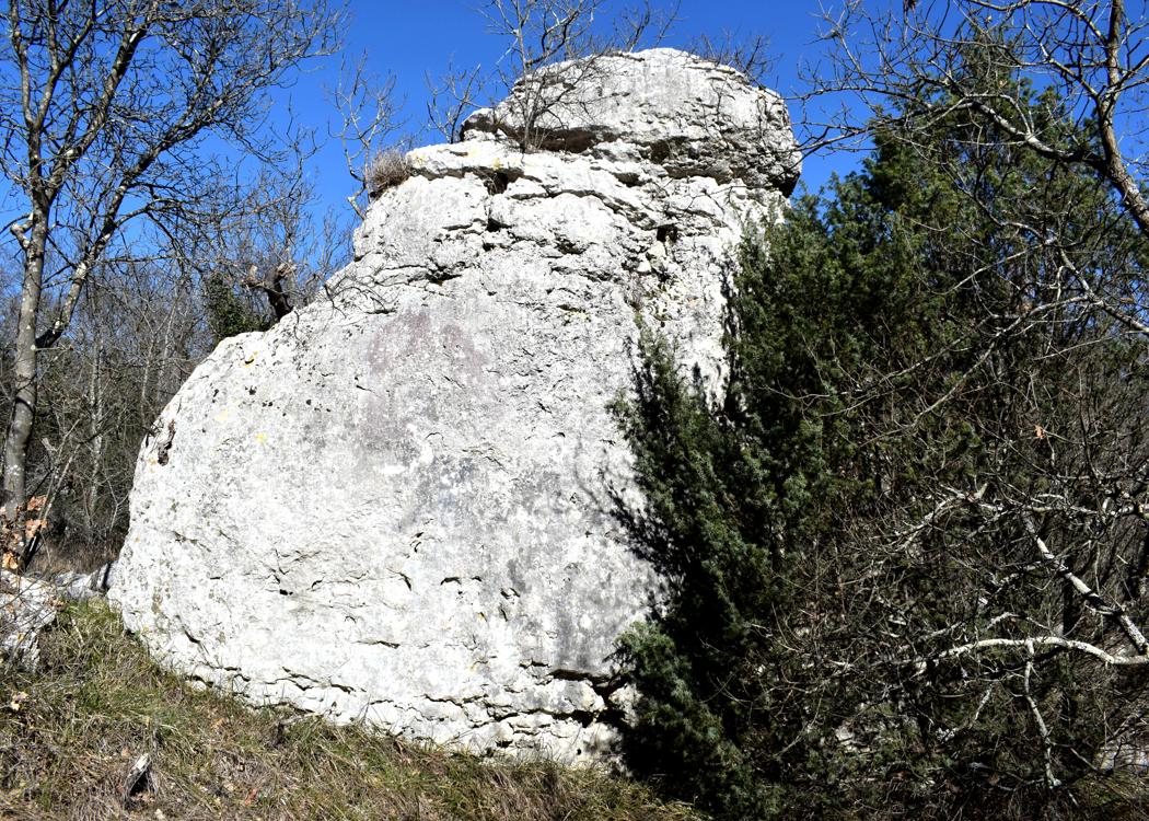
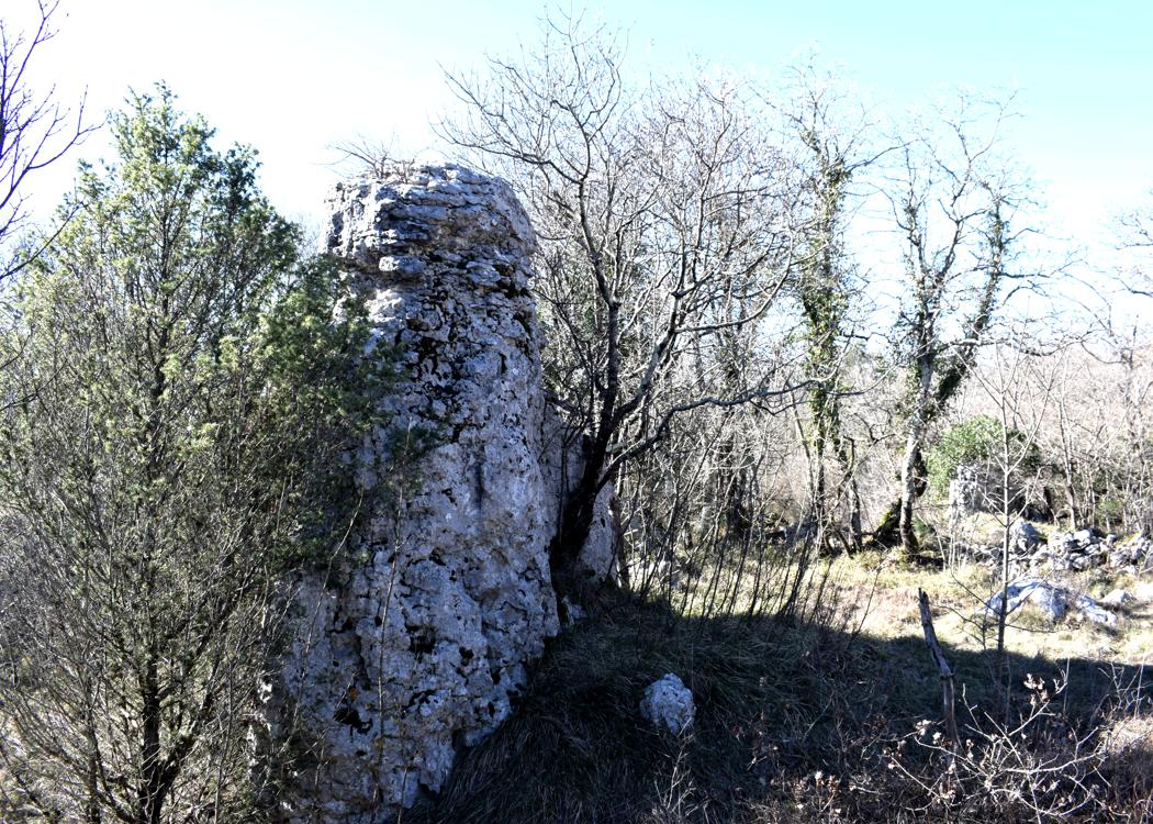
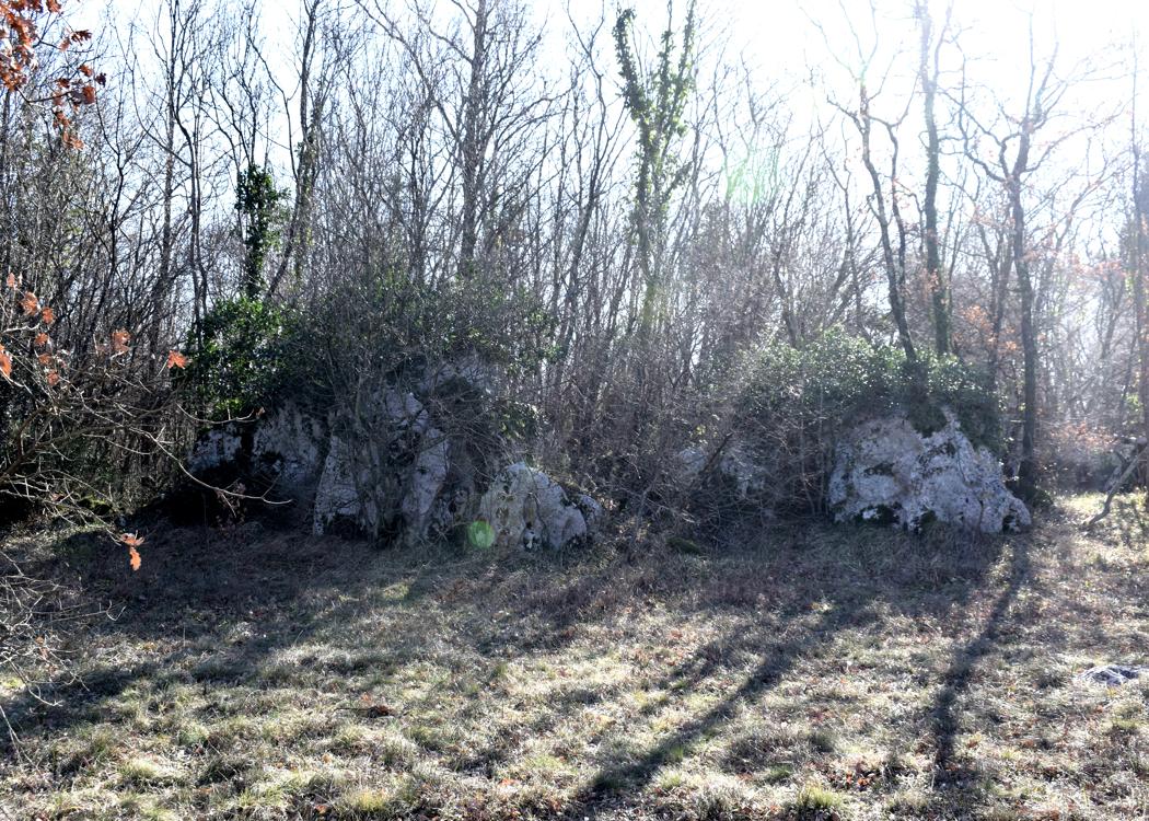
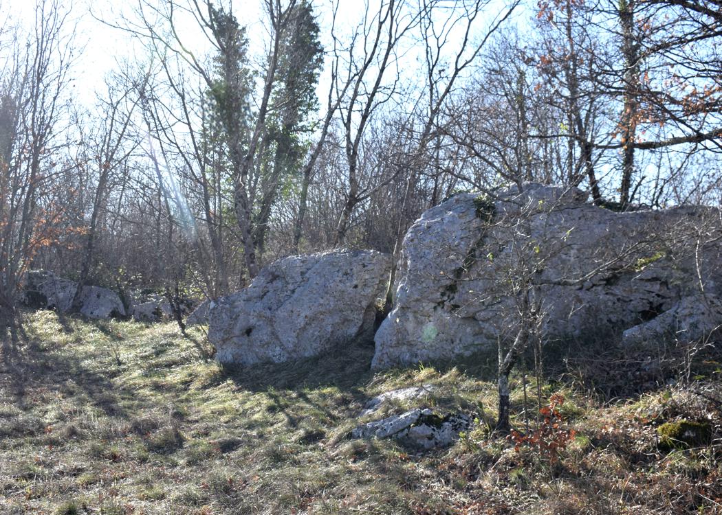
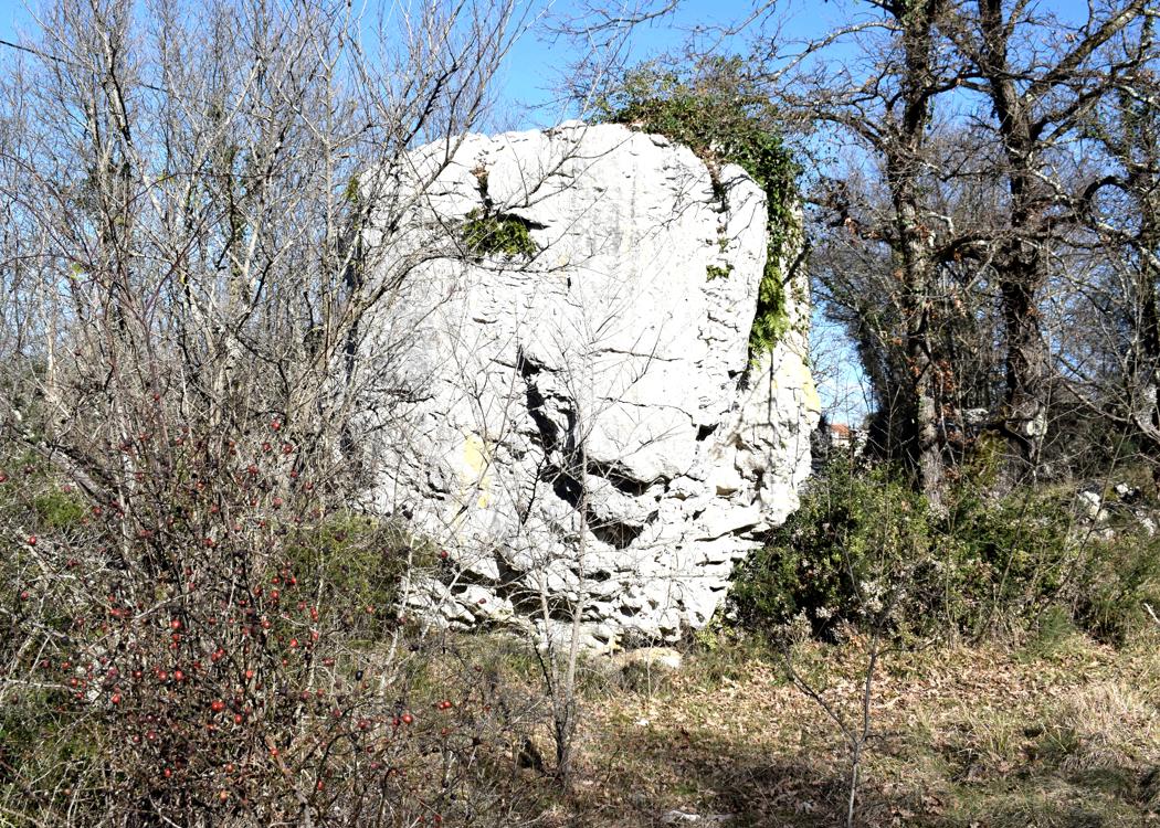
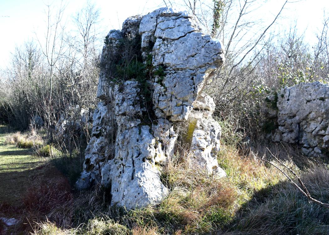
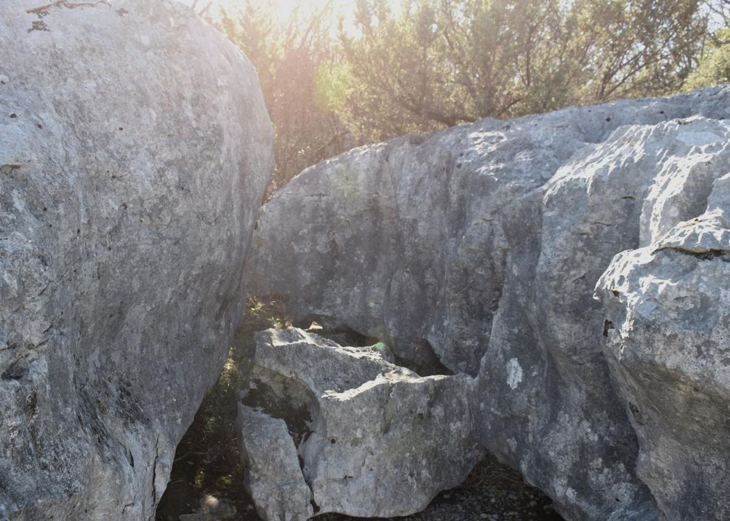
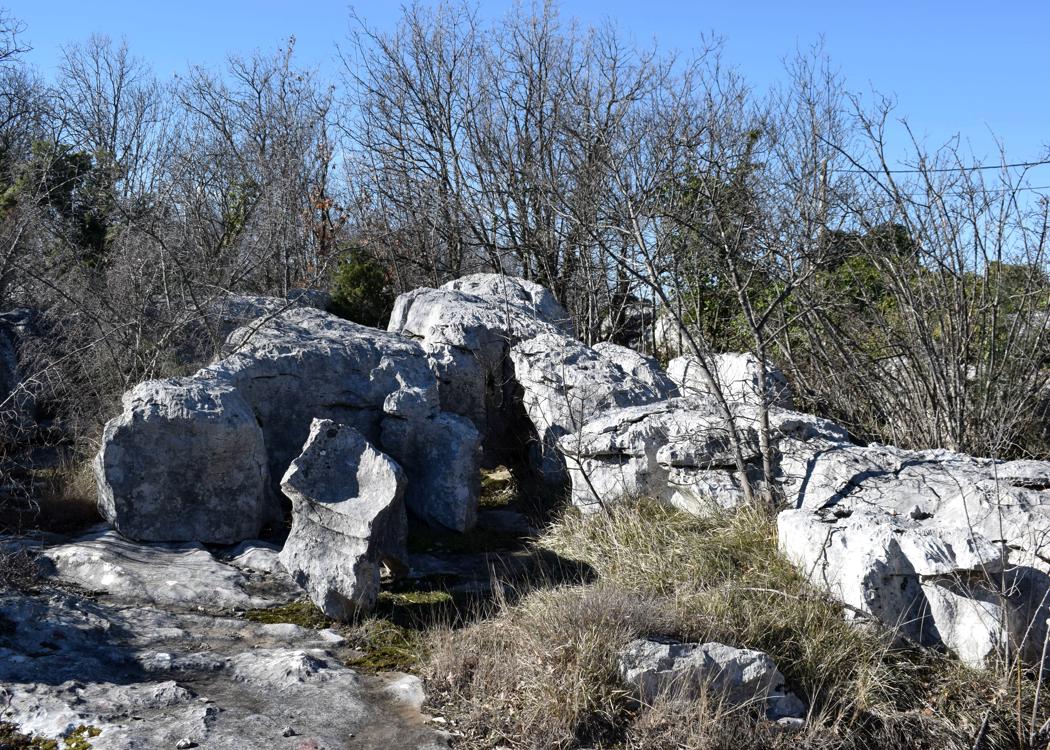
Name: Stonehange – Trail to Matijašići.
Place: Matijašići – (Sveta Nedelja).
Coordinates: Start trail 45.16057 N – 14.12089 E, Matijašići 45.16151 N – 14.13418 E.
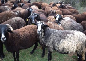
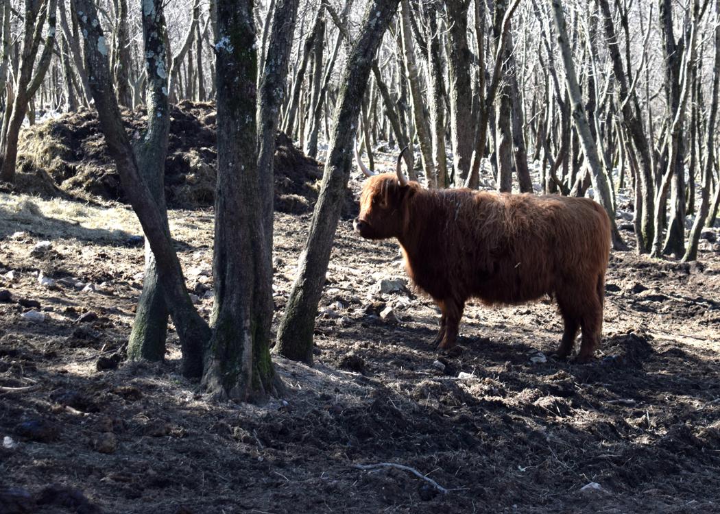
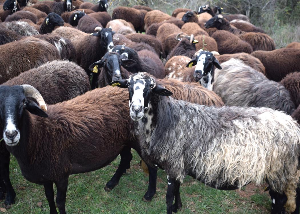
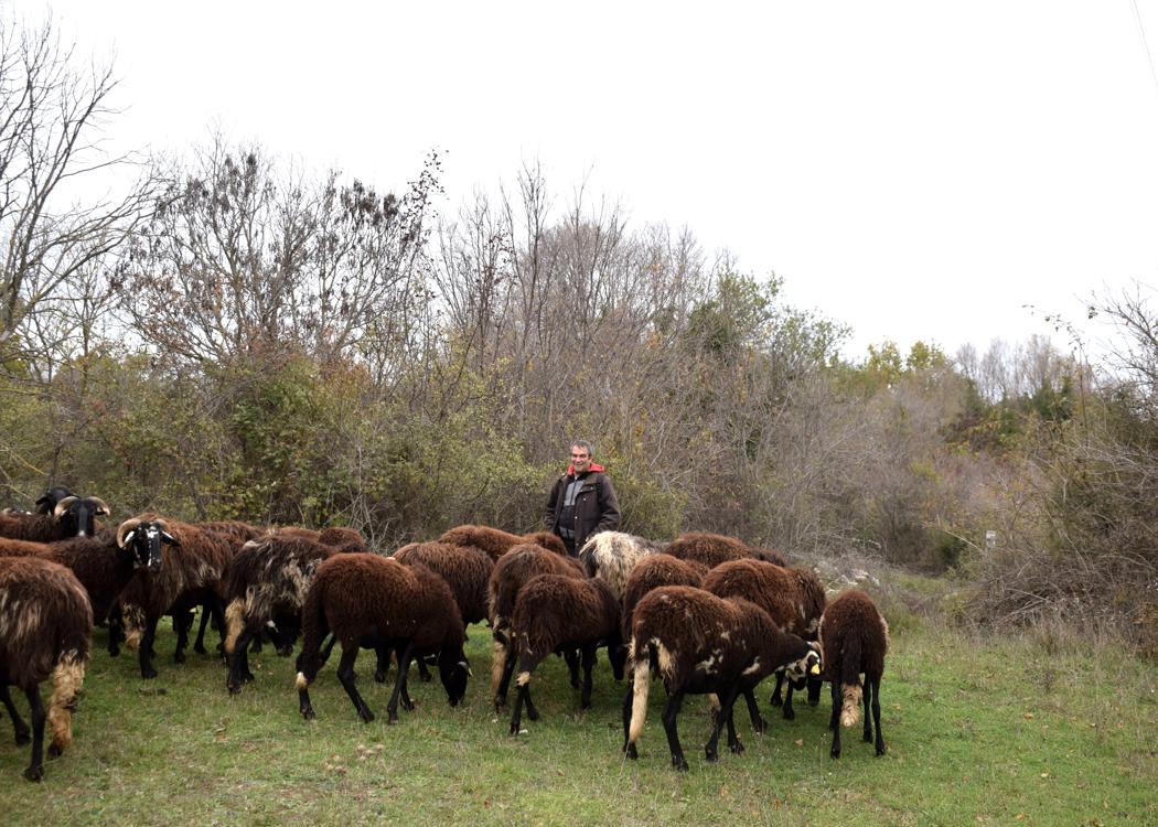
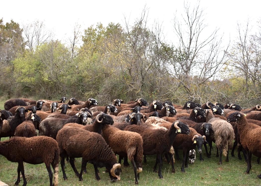
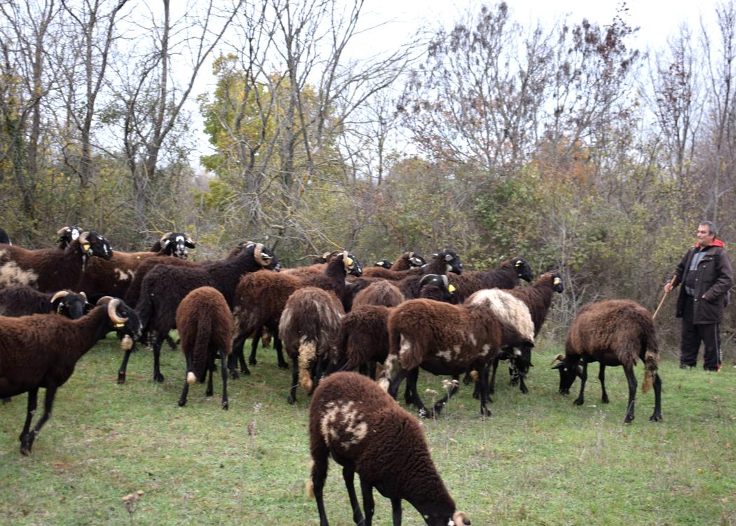
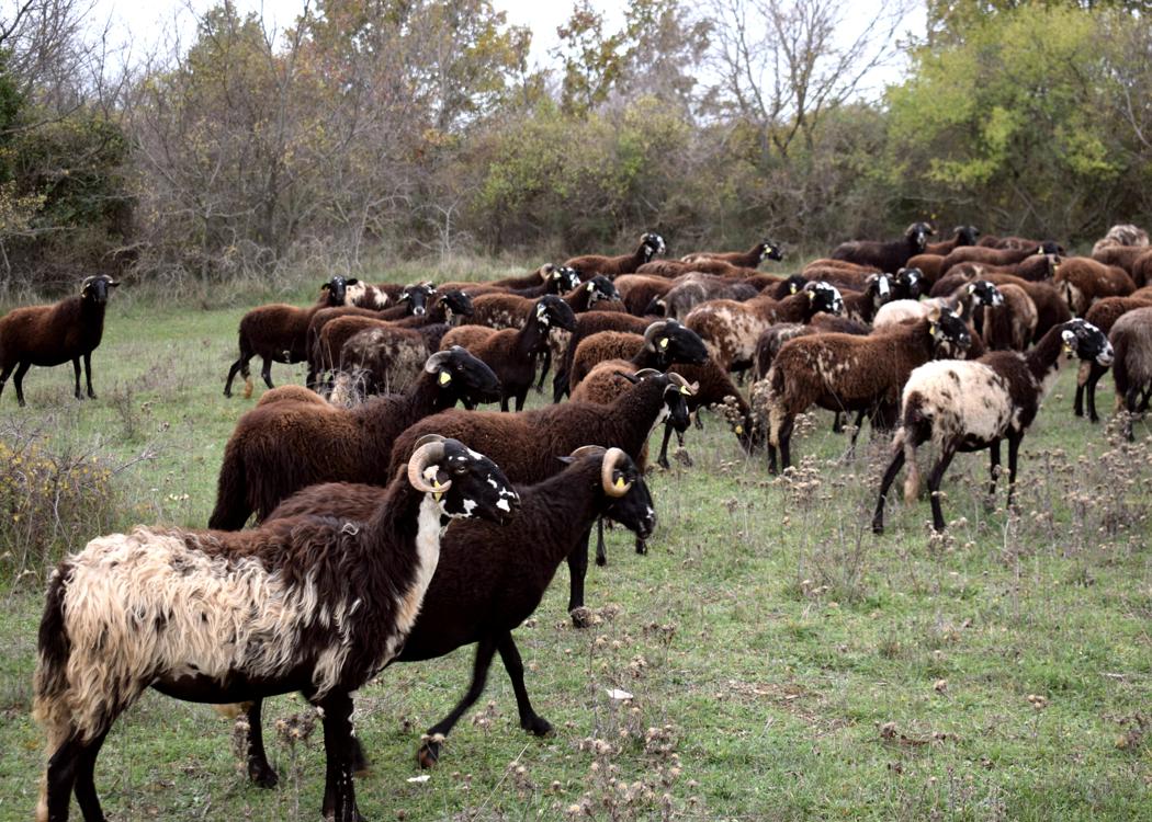
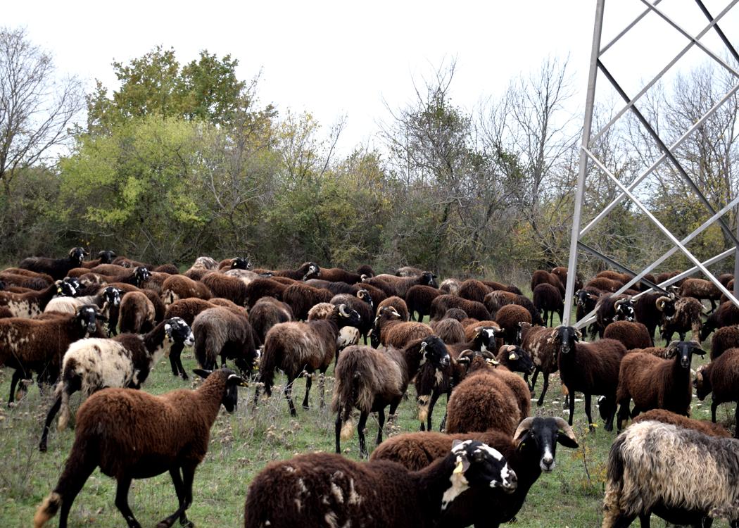
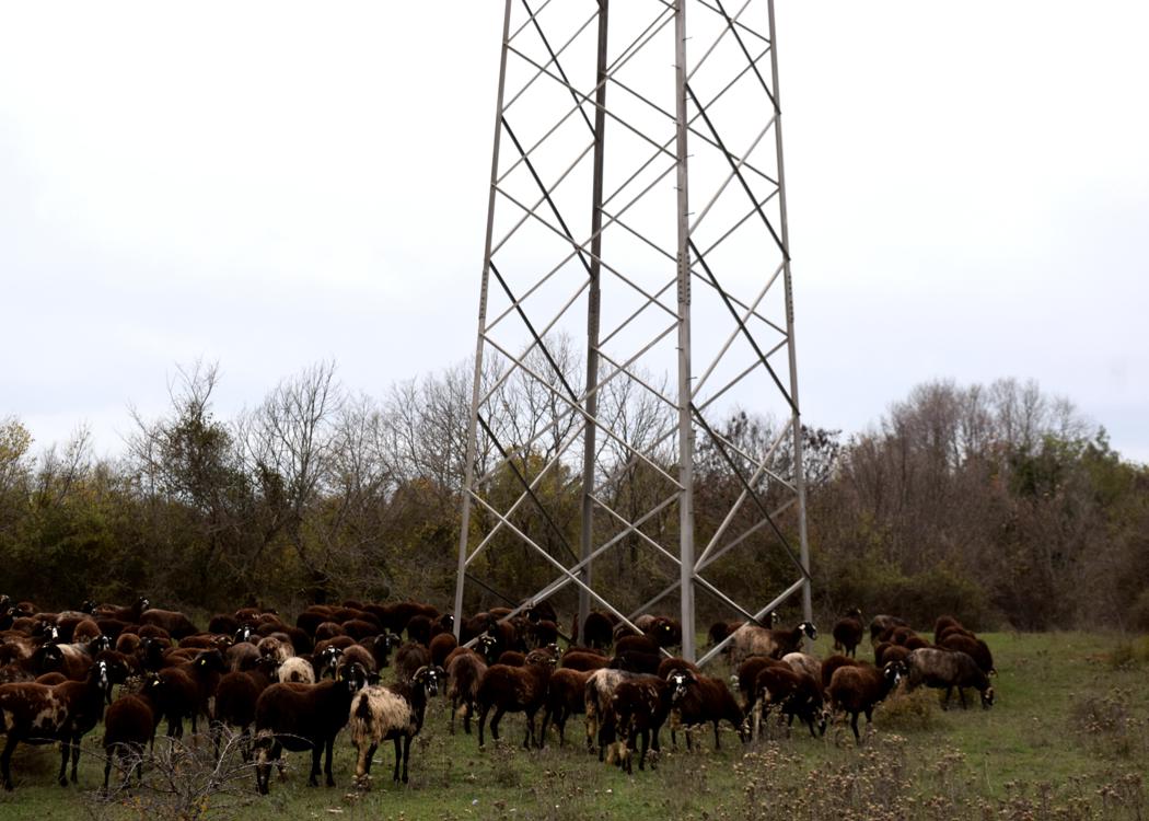
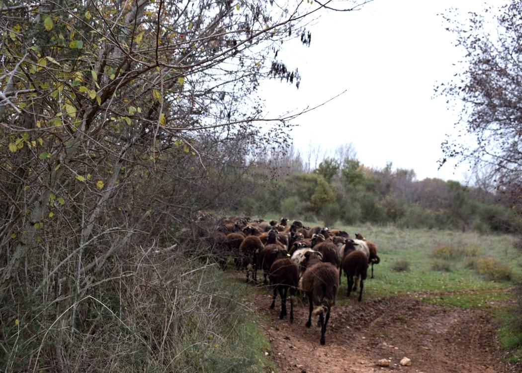
Name:Istrian Pramenka sheeps.
Place: Guran (Vodnjan).
Coordinates: 44.961 N -13.900 E
Hiking trail from border Croatia (Maršići) to the Chuch Kvirika (Sočerga) on the Veli Badin.
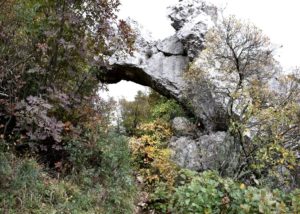
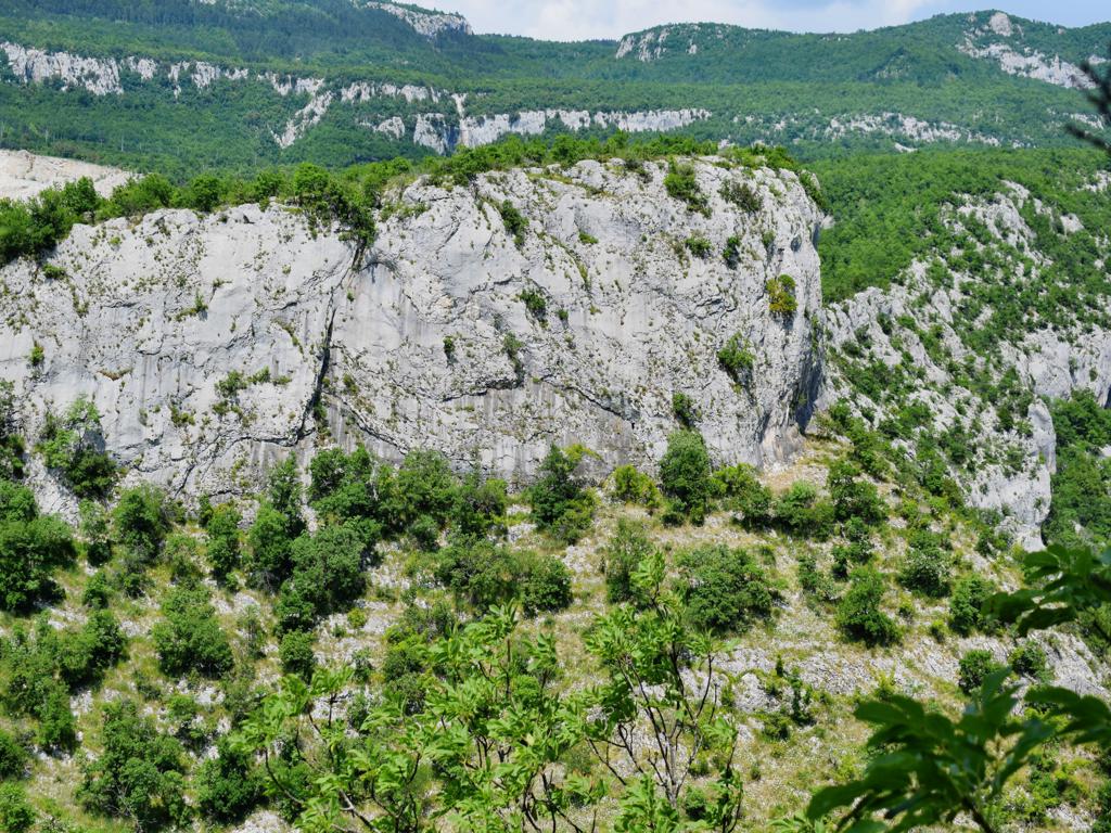
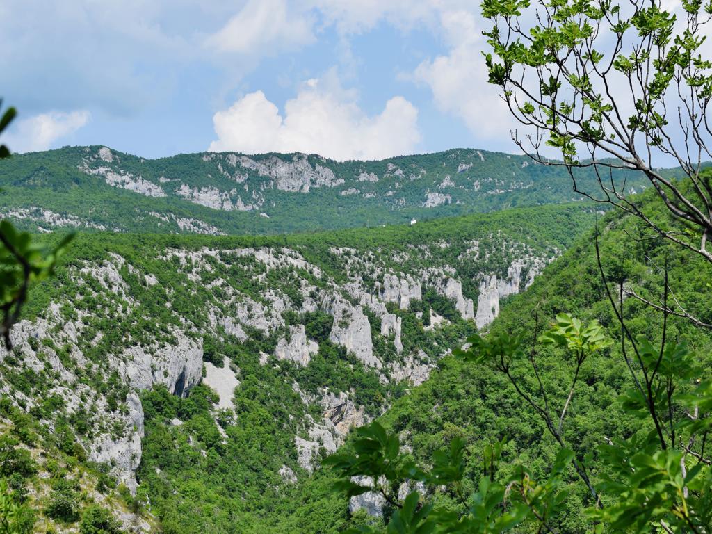
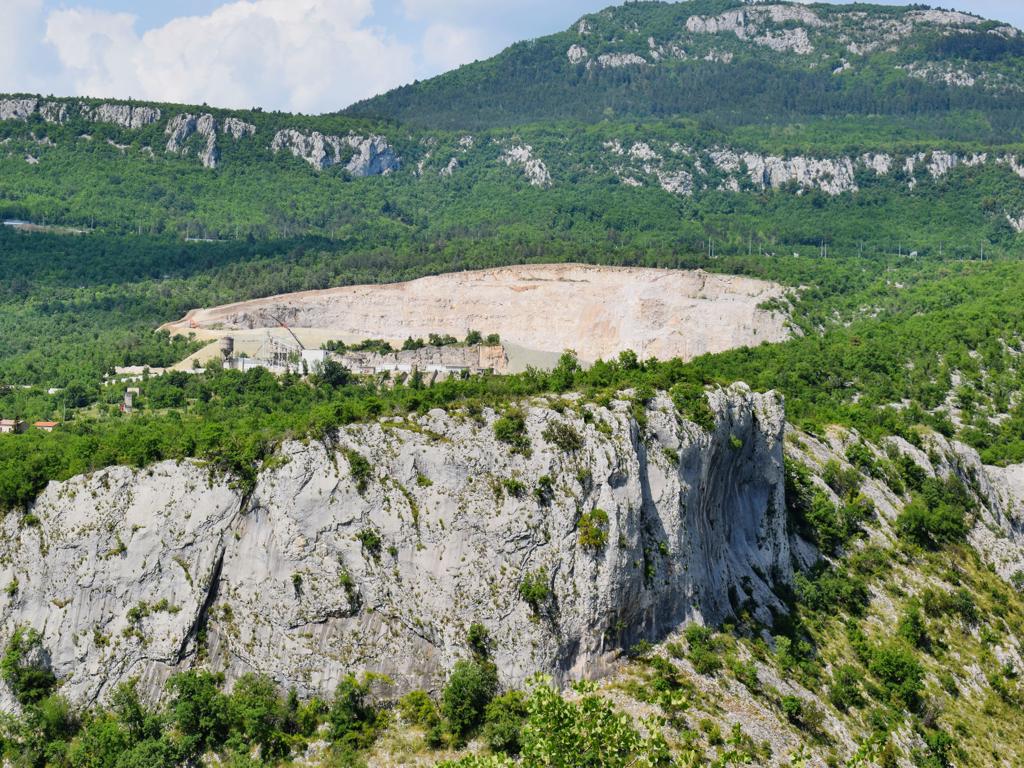
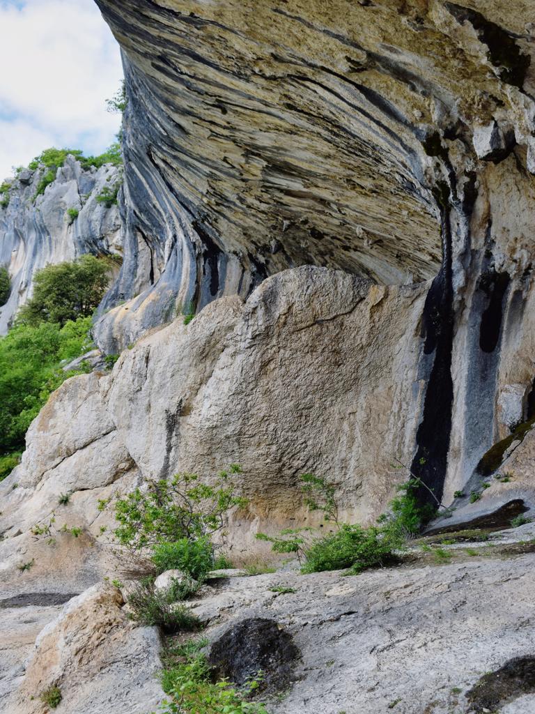
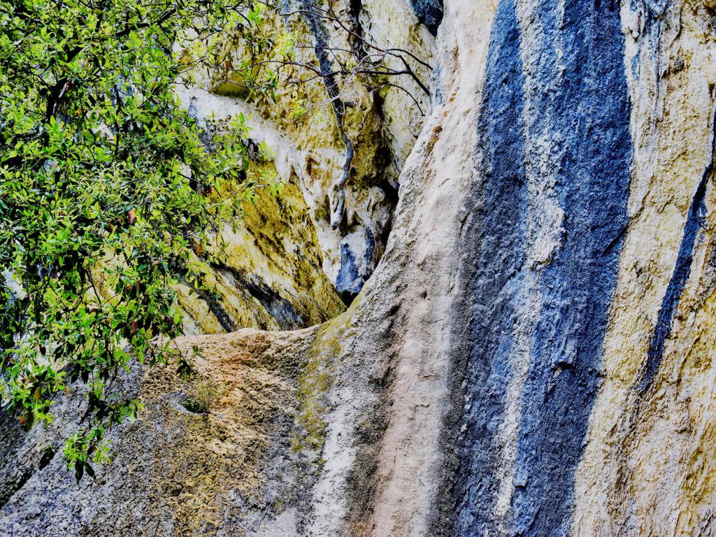
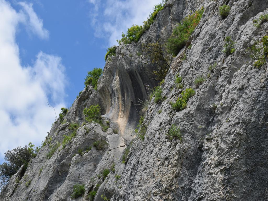
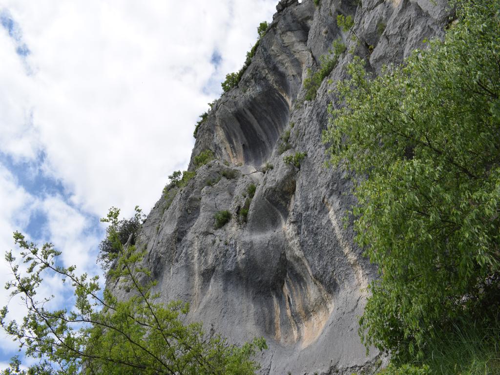
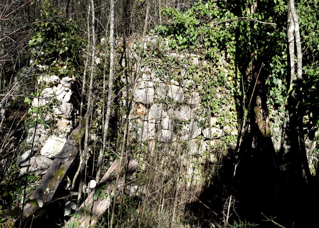
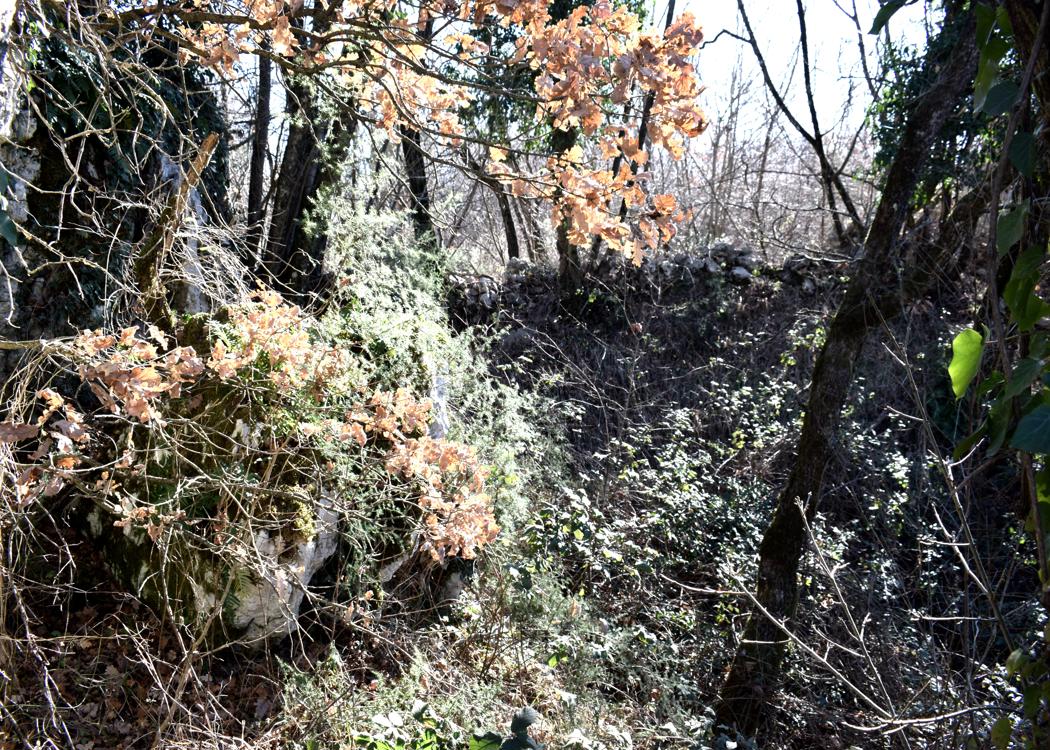
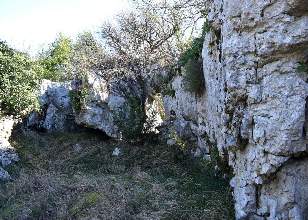
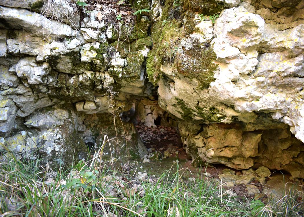
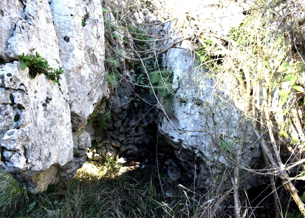
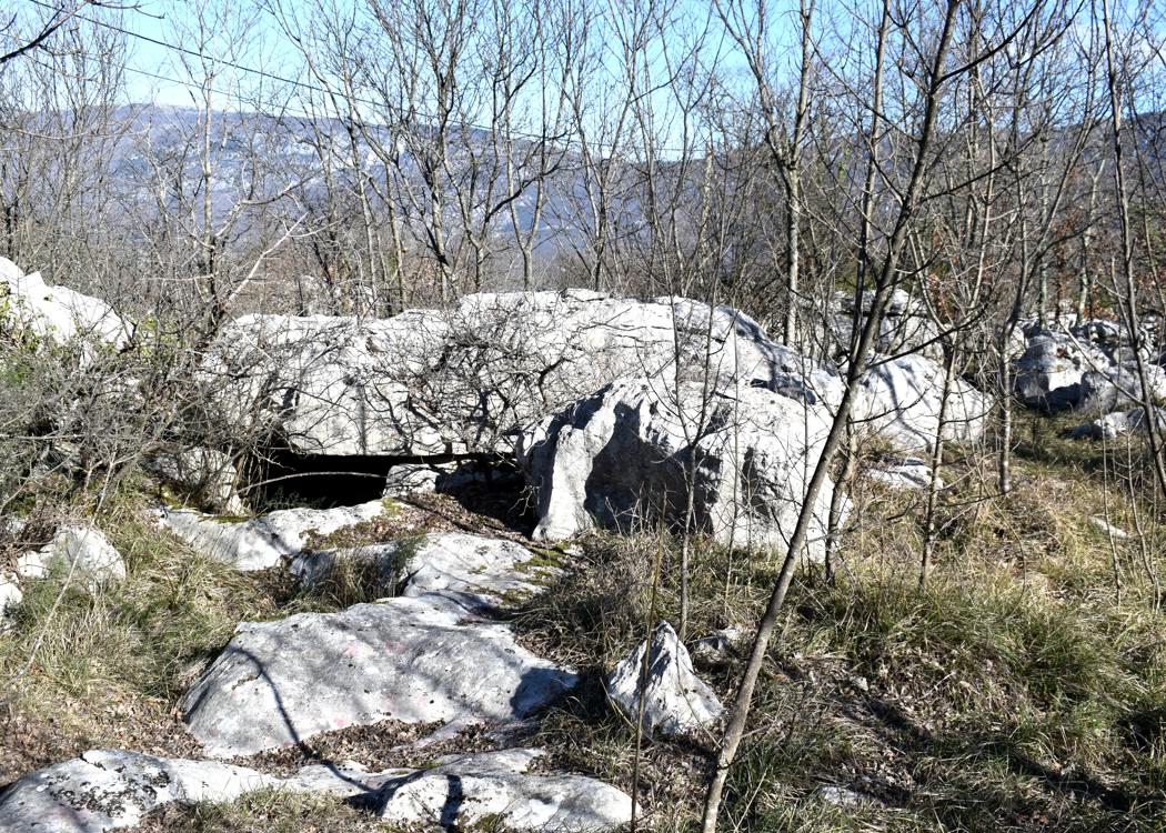
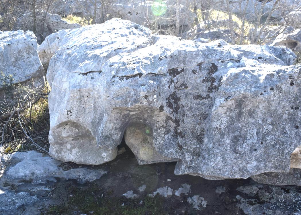
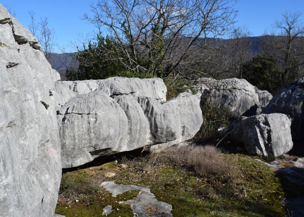
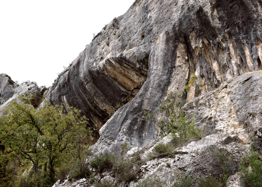
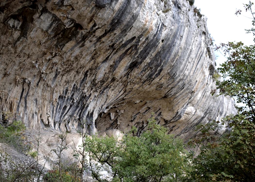
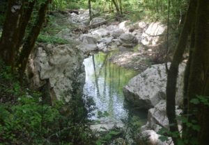
Name: Nature park with stone bridge / cliffs Veli Badin (called “The ears of Istria”).
Place: Maršiće – Sočerge – (Koper).
Coordinates: Start 45.45294 N – 13.92624 E, split Path to stone bridge/cliffs 45.45488 N – 13.92699 E, natural stone bridge 45.45407 N – 13.92409 E, Church 45.46360 N – 13.90442 E.
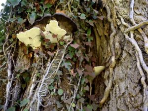
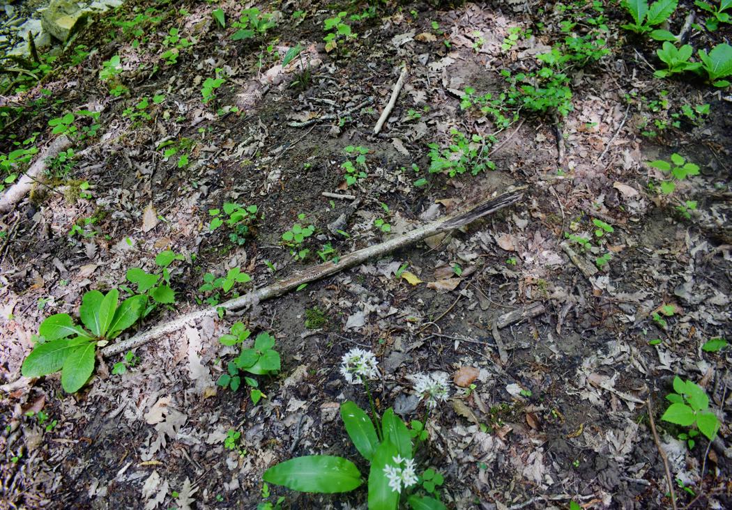
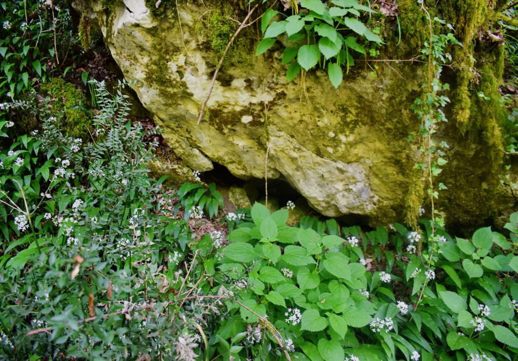
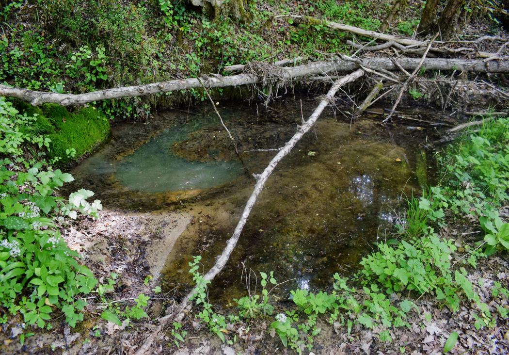
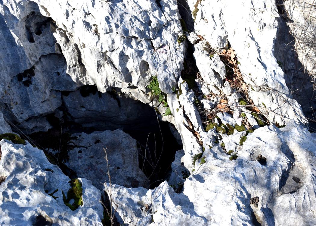
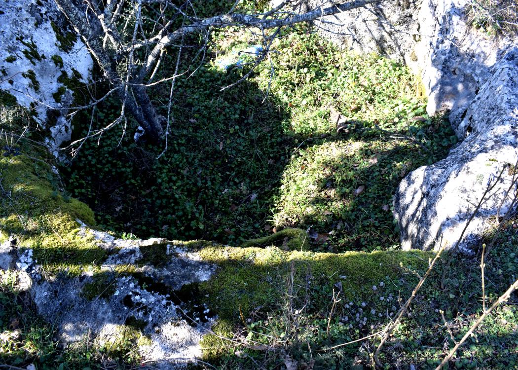
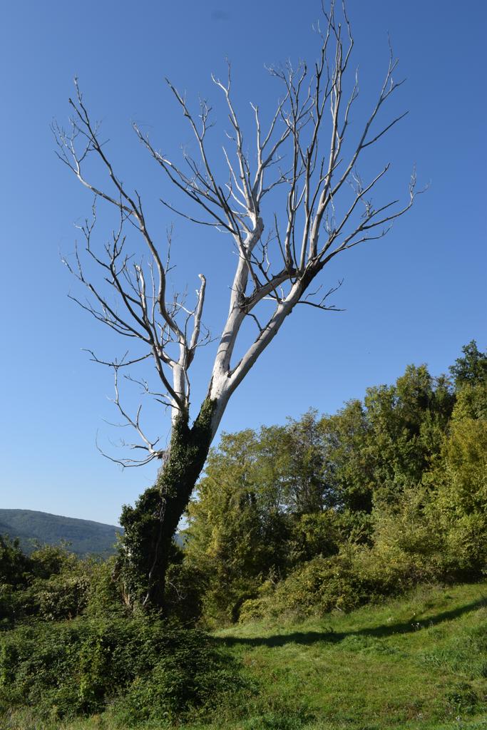
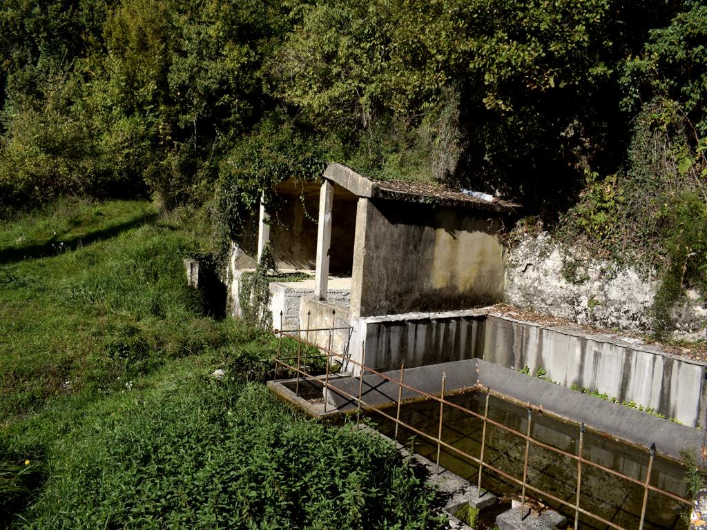
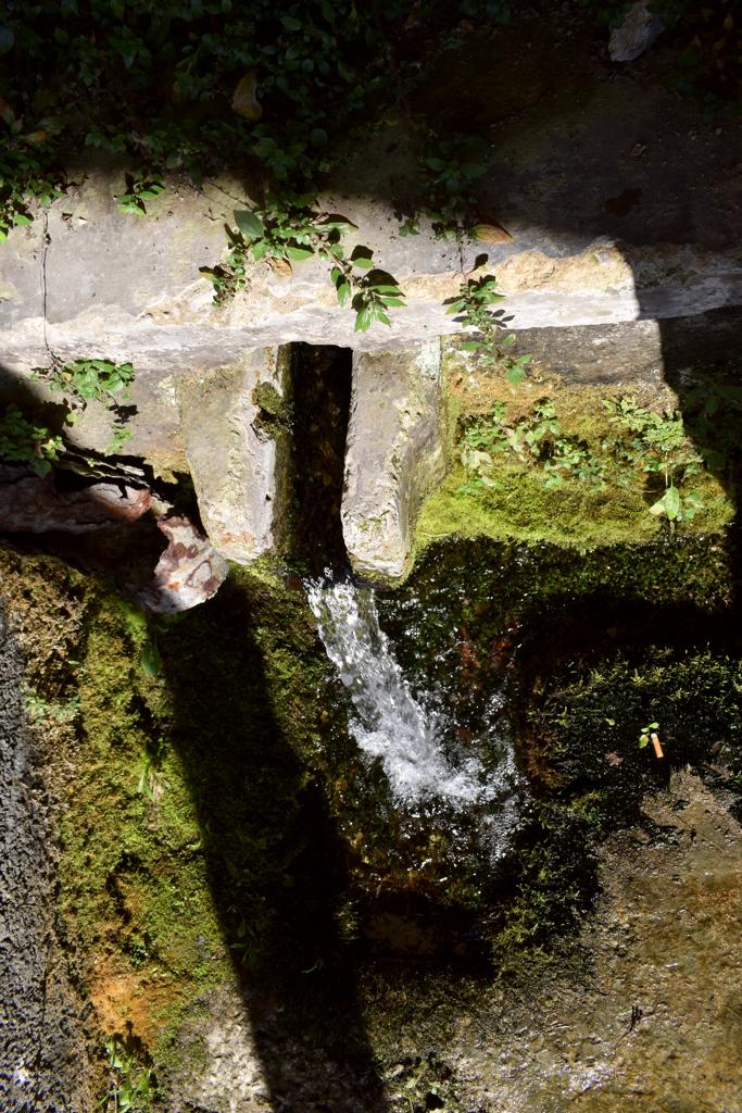
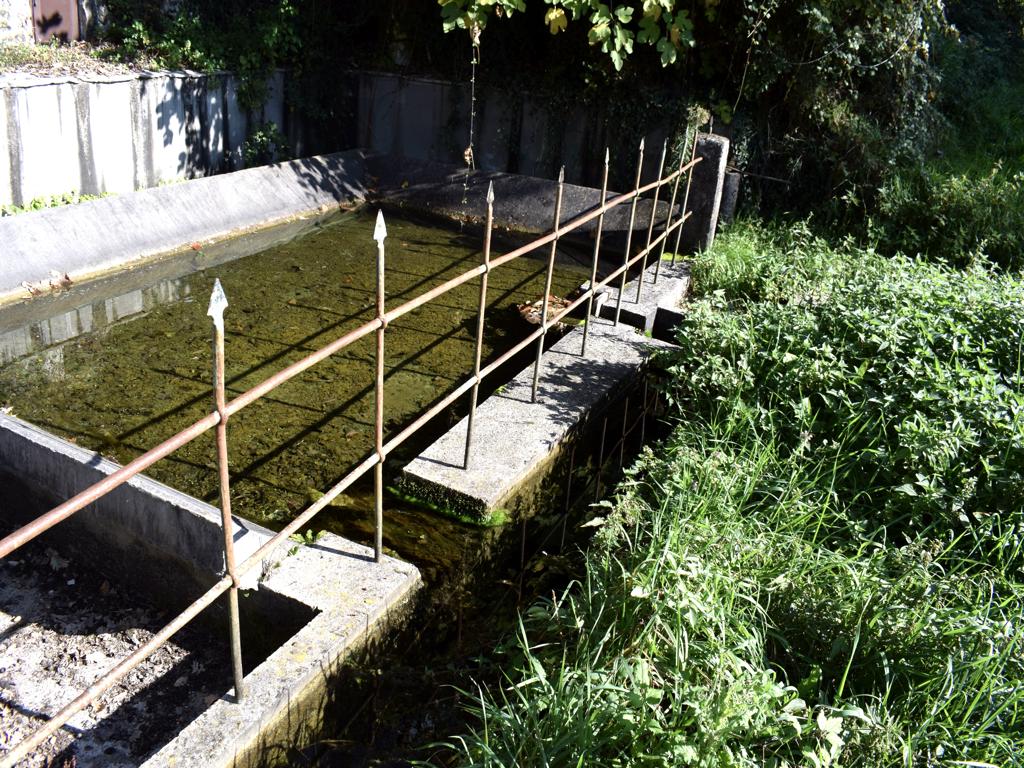
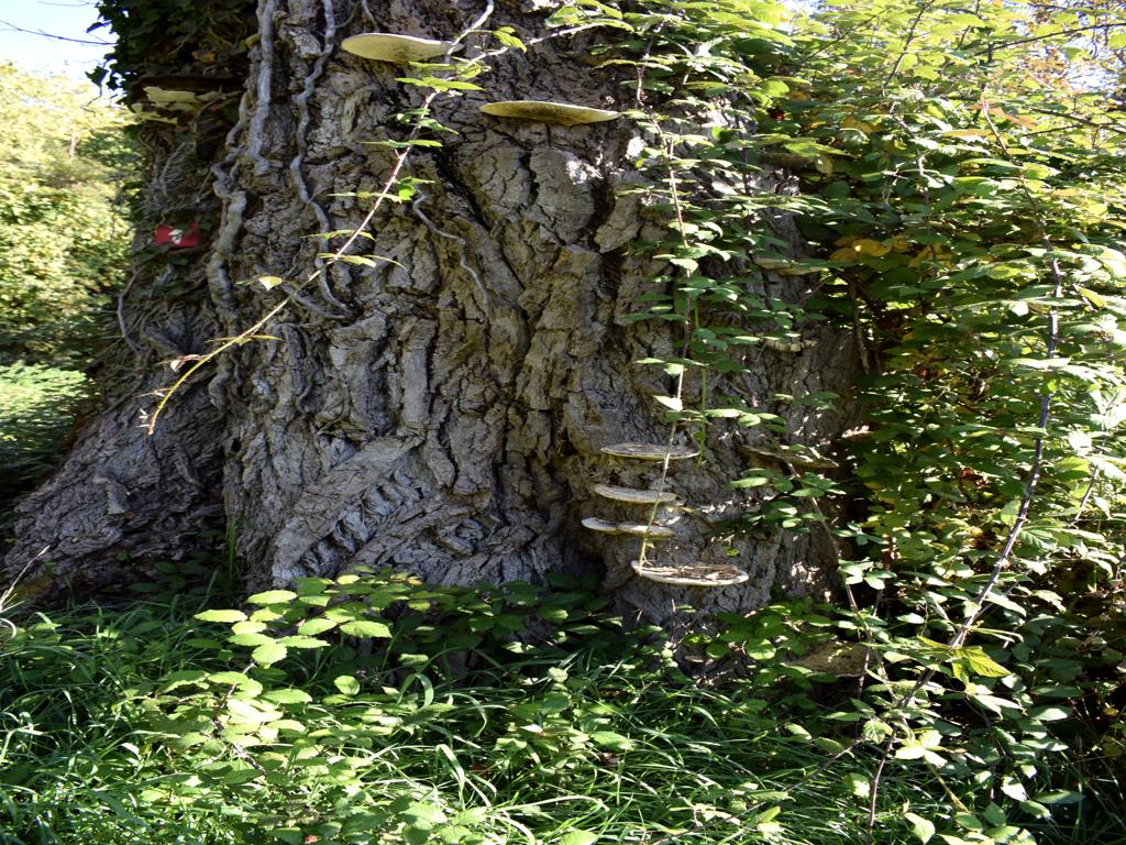
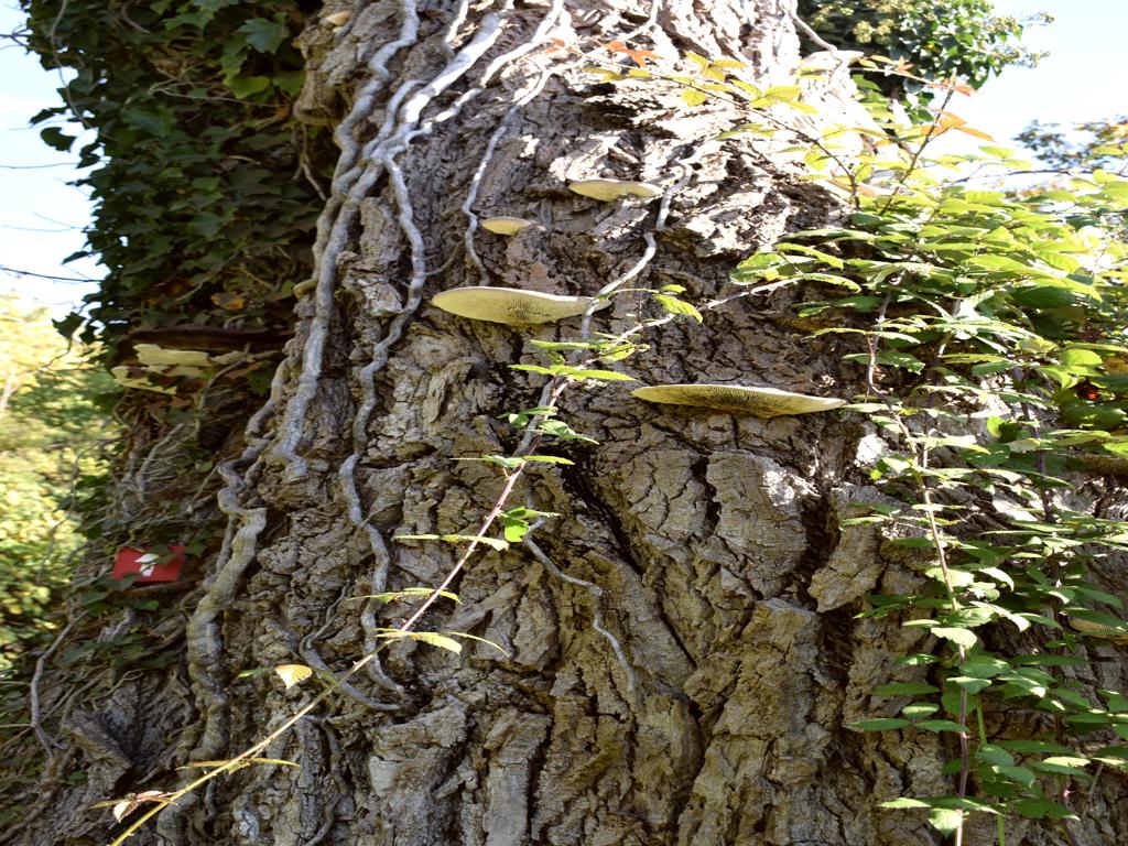
Name: Waterspring and tree with turkey tails (trametes versicolor).
Place: Črnica – (Buzet).
Coordinates: 45.44394 N – 13.93468 E.