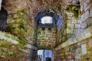
Name: Trail along the northern coast Pula to the fort Monte Minude.
Place: Stinjan – (Pula).
Coordinates: Start 44.88245 N – 13.81990 and from point 44.88274 N – 13.81191 E to Monte Minude 44.88211 N – 13.81489 E.
Fort Minude is built in 1852.

Name: Trail along the northern coast Pula to the fort Monte Minude.
Place: Stinjan – (Pula).
Coordinates: Start 44.88245 N – 13.81990 and from point 44.88274 N – 13.81191 E to Monte Minude 44.88211 N – 13.81489 E.
Fort Minude is built in 1852.
Among other things, near the elementary school on the street S Caterina.
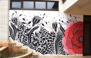
Name: Graffiti Vodnjan 2022.
Coordinates school: 44.95796 N – 13.85156 E.

Name: Graffiti area South Ulica Vallelunga.
Place: Pula.
Coordinates: 44.88575 N – 13.84642 E.
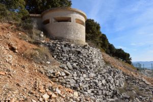
Name: Fort Forno near the Bay Lunga and Cape Debeli.
Place: Near Barbariga – (Bale).
Coordinates: 44.99887 N – 13.72583 E
Bernedetto battery is a coastal battery and was part of the Barbariga Defensive Group, which was specifically responsible for controlling access to the Fažana channel. The defensive group Barbariga was one of the defensive areas around the city of Pula of the Austro-Hungarian stronghold Pula and covered an area of 150 ha.
The San Bernedetto battery had four 15-cm calibre cannons for coastal defense and two 7- cm calibre cannons. It was built between 1898 and 1903 and has two levels. The bottom one for garrison facilities and storehouses. The upper floor consists of terraces with defensive ramparts, observation domes and casemates.
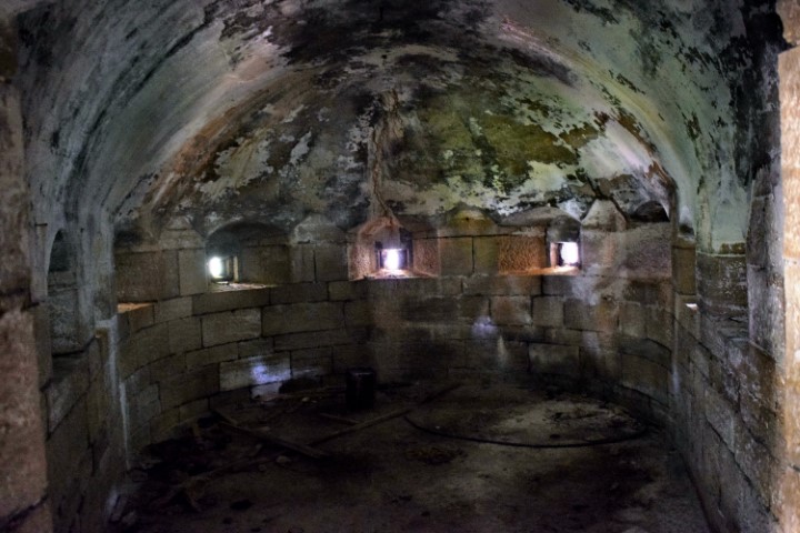
Name: San Benedetto battery – Barbariga.
Place: Barbariga – (Bale).
Coordinates: 44.99443 N – 13.73419 E.