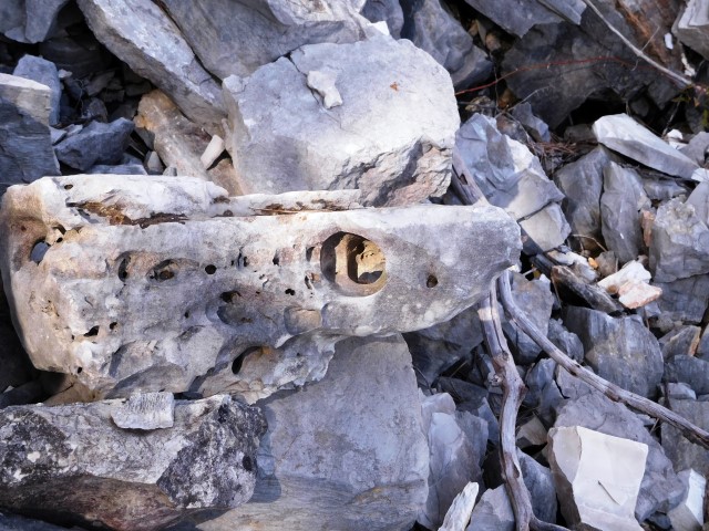
Name: Quarry Tarska Finida
Place: Tar
Coordinates: 45.31501 N – 13.60883 E
This old quarry is a fine example of lime sedimentation (Karst phenomenon) over more than 130 million years in the formation of the earth’s crust.
This sedimentation took place through strong sea currents of alga mixed with limestone silt. Between the layers horizontal and vertical grooves with different types of dolomite and inclusions are visible with genetic and diagenetic characteristics.
Since 1986 this quarry is due to its scientific value, a natural monument.
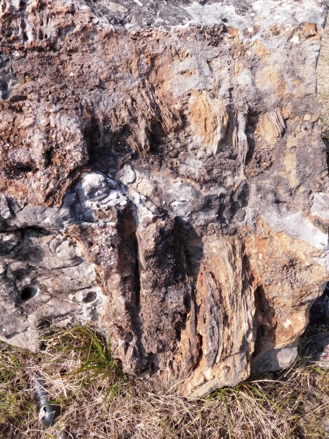
Name: Monfiorenzo
Place: Rovinj
Coordinates: 45.08128 N – 13.66912 E
These water sources were in the past the main water supplies of the inhabitants between Kanfanar and Vidulini.
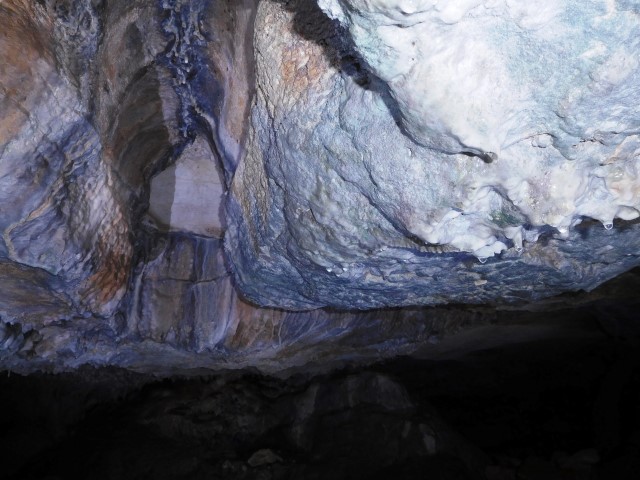
Name: Cave and watersources Kaštanjer
Place: Kanfanar
Coordinates: between 45.12645 N – 13.84116 E and 45. 13772 N – 13.84159 E
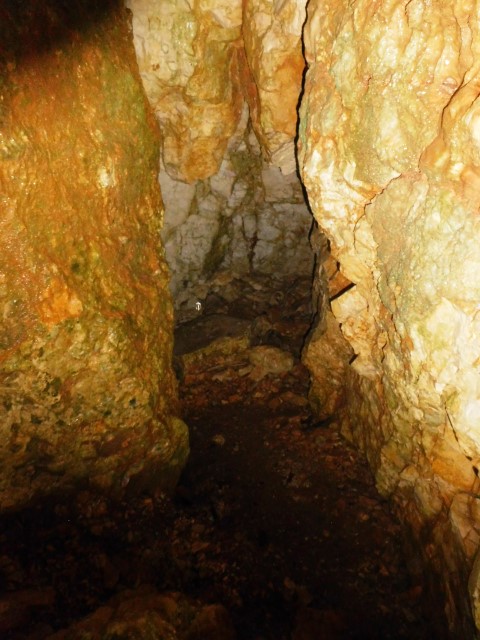
Name: Cave – abandoned Quarry
Place: Mala Traba – (Pazin)
Coordinates: 45.25000 N – 13.88031 E
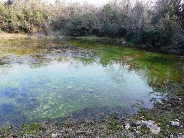
Name: Lake Mandriol
Place: Mandriol – (Vodnjan)
Coordinates: 44.99962 N – 13.76229 E
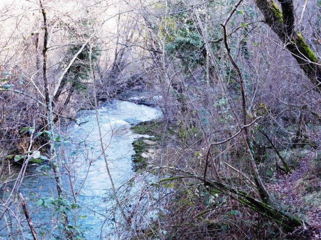
Name: Dragoni stream
Place: Kaštel – (Buje)
Coordinates: from 45. 44255 N – 13.67584 E to 45.44354 N – 13.67282 E