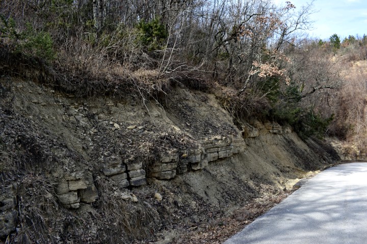
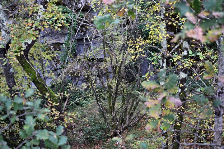
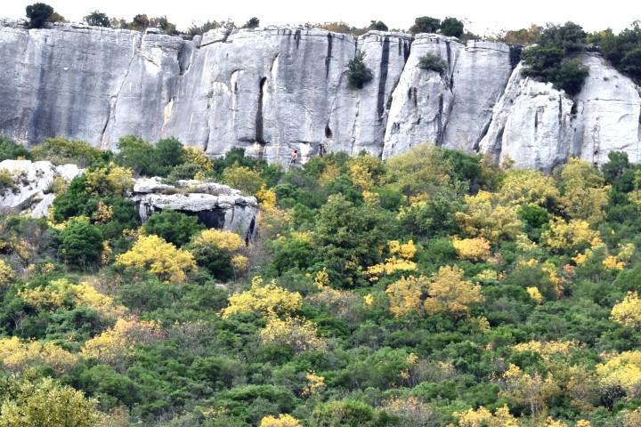
Name: Geological formation layers.
Place: Along road near Kršikla.
Coordinates: 45.30080 N – 13.94938 E.
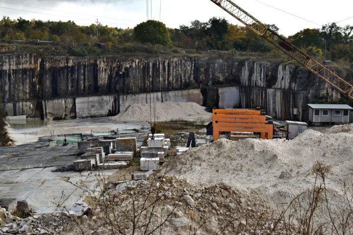
Name: Geological formation layers.
Place: Along road near Kršikla.
Coordinates: 45.30080 N – 13.94938 E.
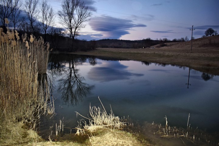
Name: Pond near Borut.
Place: Borut – Selo – (Cerovlje).
Coordinates: 45.30648 N – 14.05969 E.
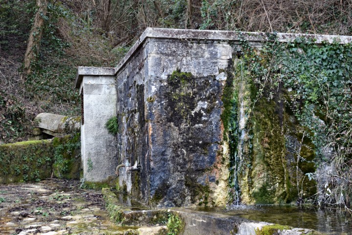
Name: Waterspring Vruja.
Place: Near Ukotići – (Payin).
Coordinates: 35.32495 N – 13.91317 E.
Name: Cave Fulinovica.
Place: near Pilkovići – (Kanfanar).
Coordinates: 45.11712 N – 13.77966 E.
Name: View Vela Draga near Dvigrad.
Place: Dvigrad – (Kanfanar).
DSCN 8672/8673: former railroad from Rovinj to Kanfanar (1876-1966)
Name: View spot Finida-Kamenjaća Lim Channel
Place: Rovinj – Rovinj-Selo
Coordinates: 45.13214 N – 13.70581 E
The mines are located in the valley of the river Mirna on a hill named Minjera near Sovinjak. They started here with excavations of the puritanic bauxite in the 16th century. In 1780 a Venetian Pietro Turrini built here a plant for processing bauxite into sulphuric acid and alum that was used among other for tanning leather. The mines were closed in 1856.
Name: Minjera
Place: Sovinjak – (Buzet)
Coordinates: 45.38628 N – 13.92662 E to 45.38971 N -13.93498 E