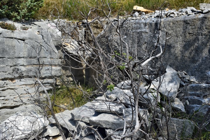
Name: Northern ridge Mirna south of Srbani – View Mirna Valley.
Place: Srbani – Nova vas – (Brtonigla).
Coordinates: 45.33741 N – 13.64297 E.

Name: Northern ridge Mirna south of Srbani – View Mirna Valley.
Place: Srbani – Nova vas – (Brtonigla).
Coordinates: 45.33741 N – 13.64297 E.
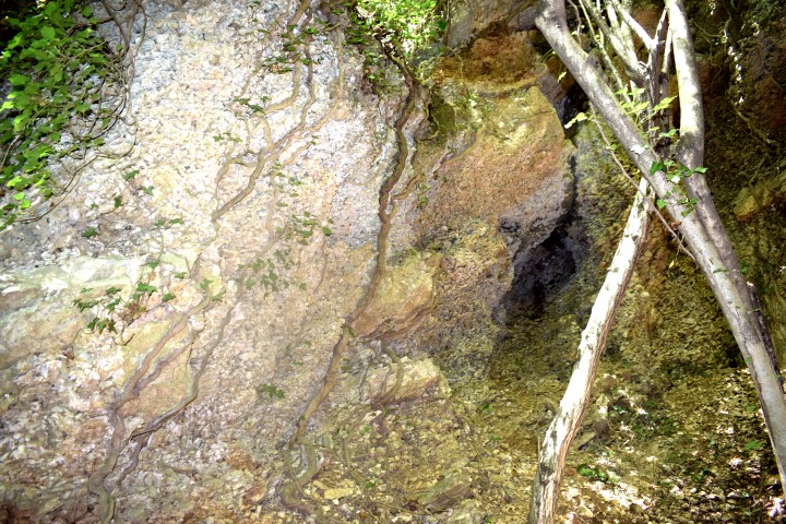
Name: Cliff near Čiritiž.
Place: Čiritiž – (Buzet).
Coordinates: 45.40179 N – 14.02338 E.
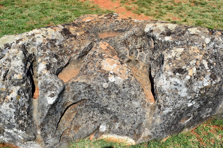
Name: Karst stones.
Place: Baredine – Nova Vas – (Poreč).
Coordinates: 45.27016 N – 13.66248 E.
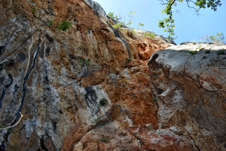
Name: Hiking trail with view on Belićeva rock, Belićev column, and Brseč.
PLace: Brseč – ( Mošćenićka Draga).
Coordinates:
Starting point: Cave Ilovica: 45. 22524 N – 13.63429 E, altitude: 58 m.
End point: 45.17631 N – 14.2365 E, altitude 74 m.
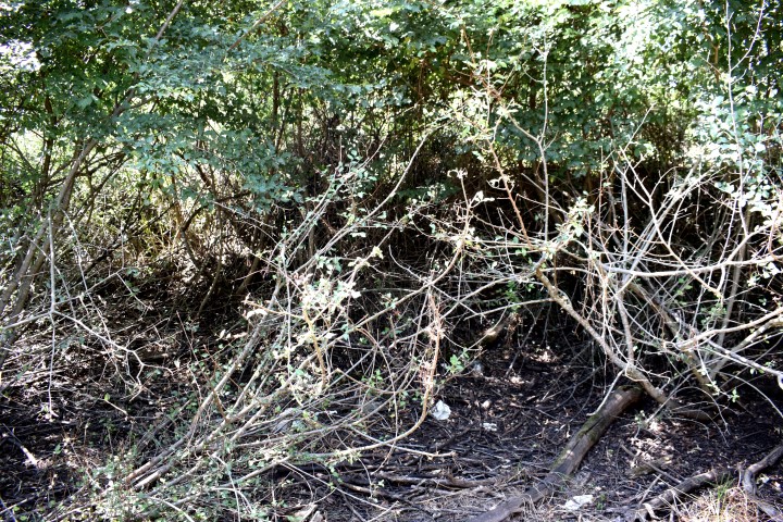
Name: Puddle Pižanovac.
Place: Pižanovac – (Bale).
Coordinates: 45.07453 N – 13.76096 E.
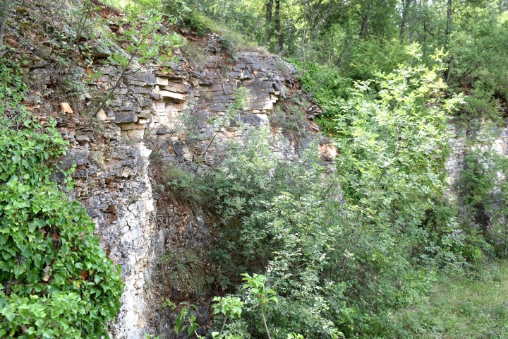
Name: Abandoned quarry.
Place: Rovinj Selo – (Rovinj).
Coordinates: 45.103423 N – 13.72383 E.
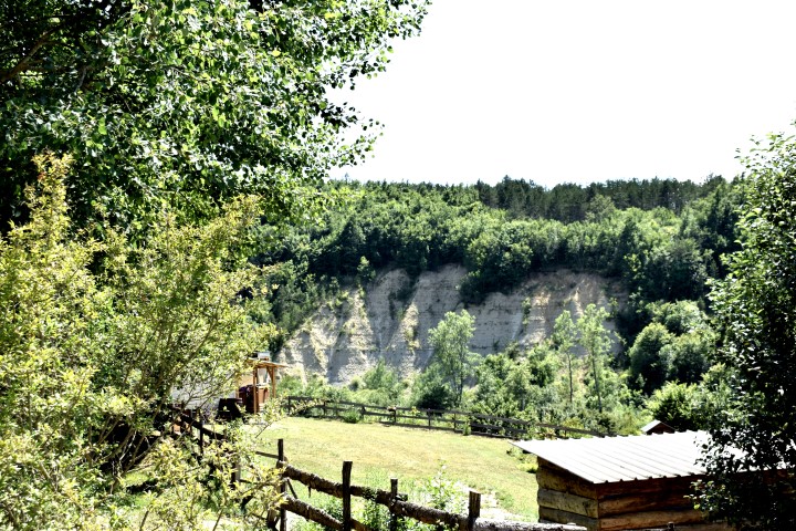
Name: Sestani.
Place: Sestani – (Cerovlje).
Coordinates: 45.24568 N – 13.9859 E.
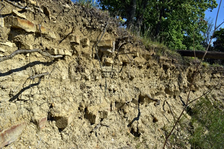
Name: Sandstone quarry.
Place: Kal – (Pazin).
Coordinates: 45.33059 N – 13.87329 E-