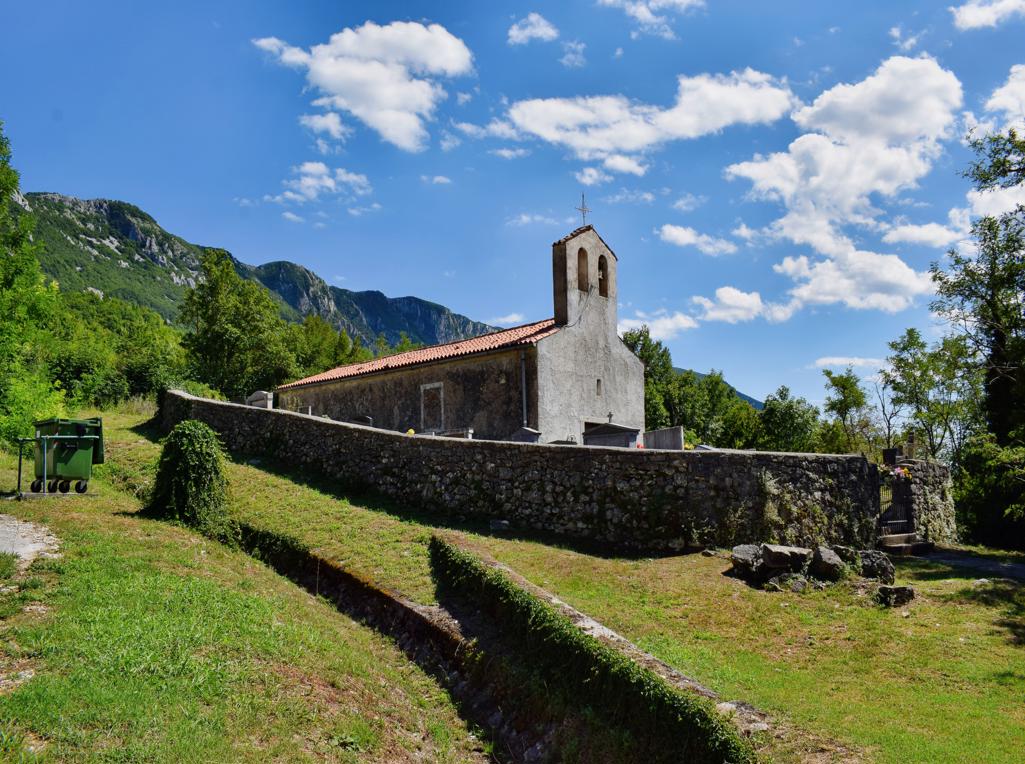
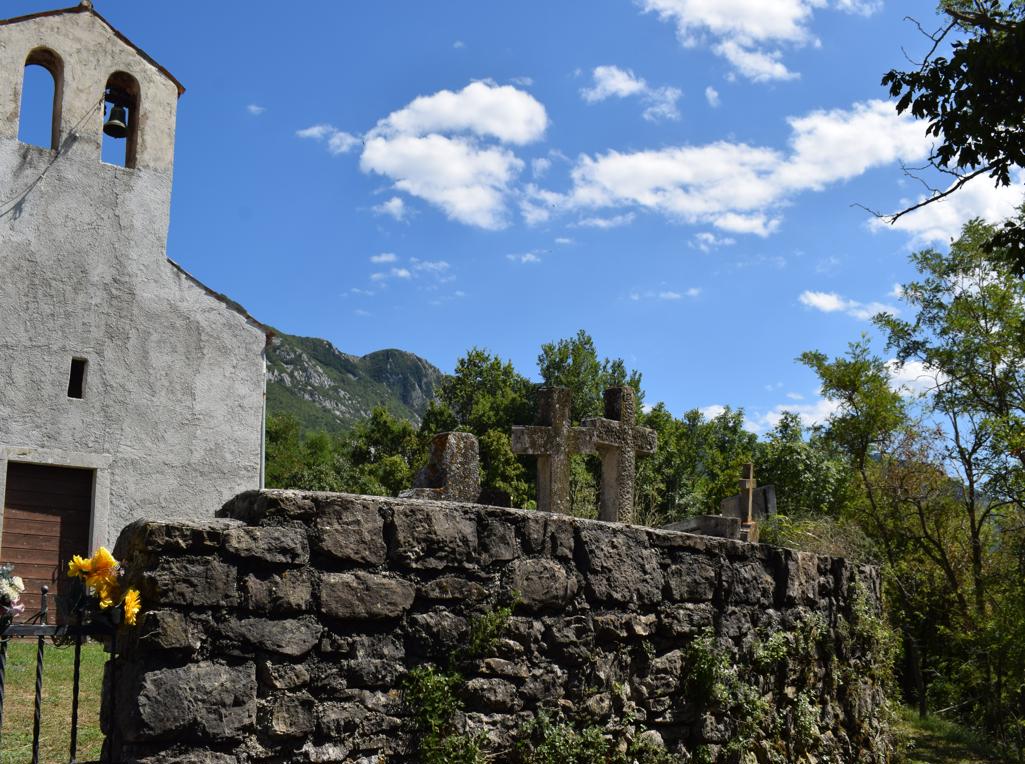
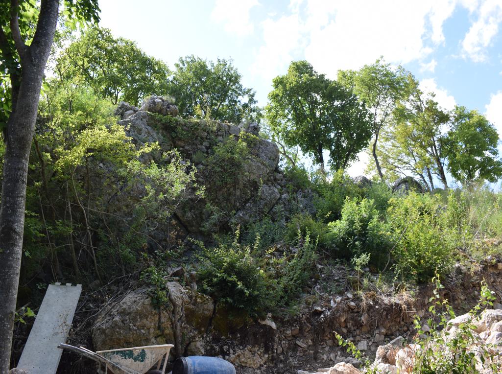
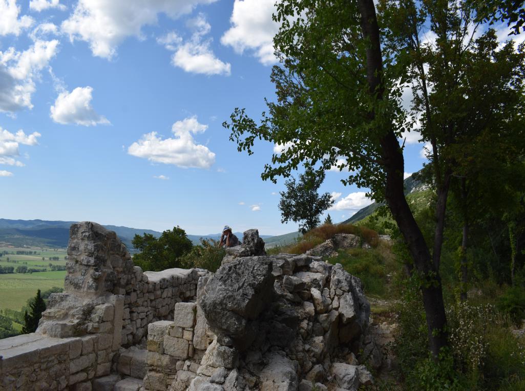
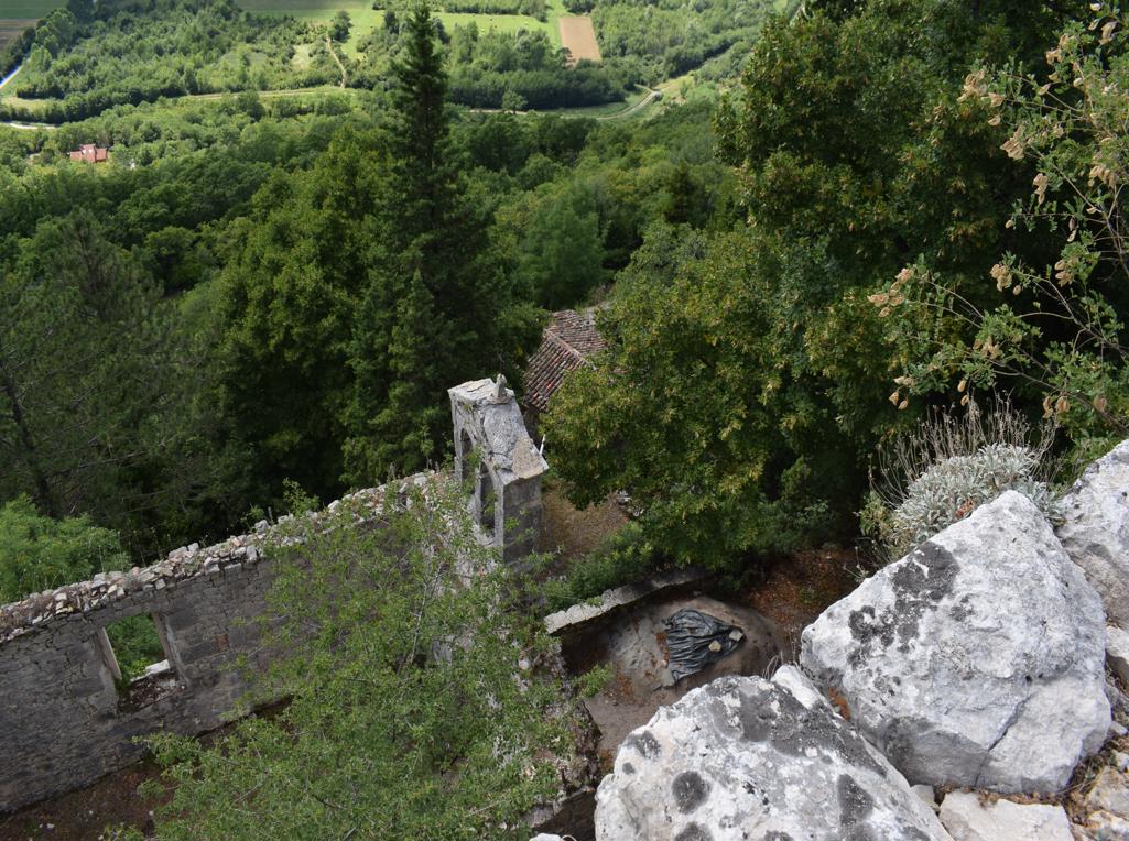
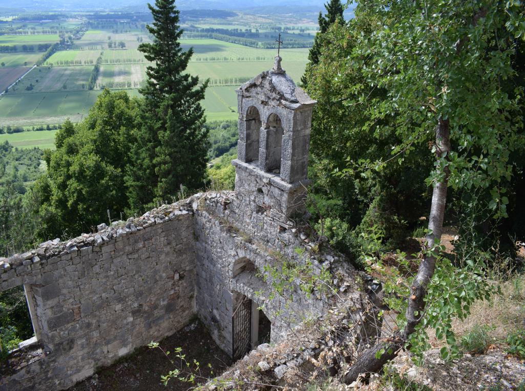
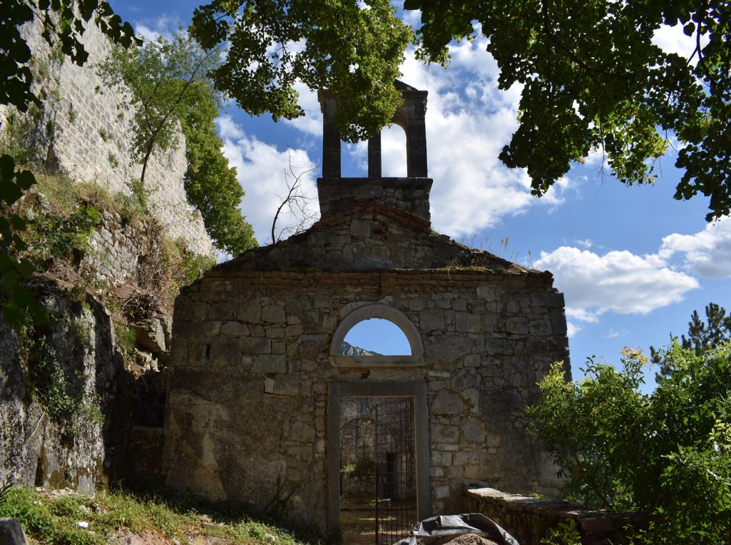
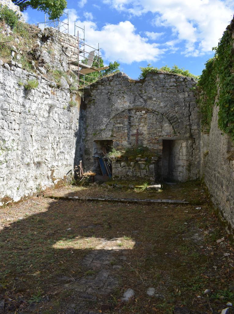
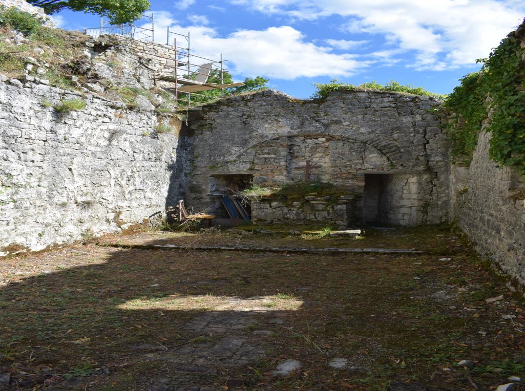
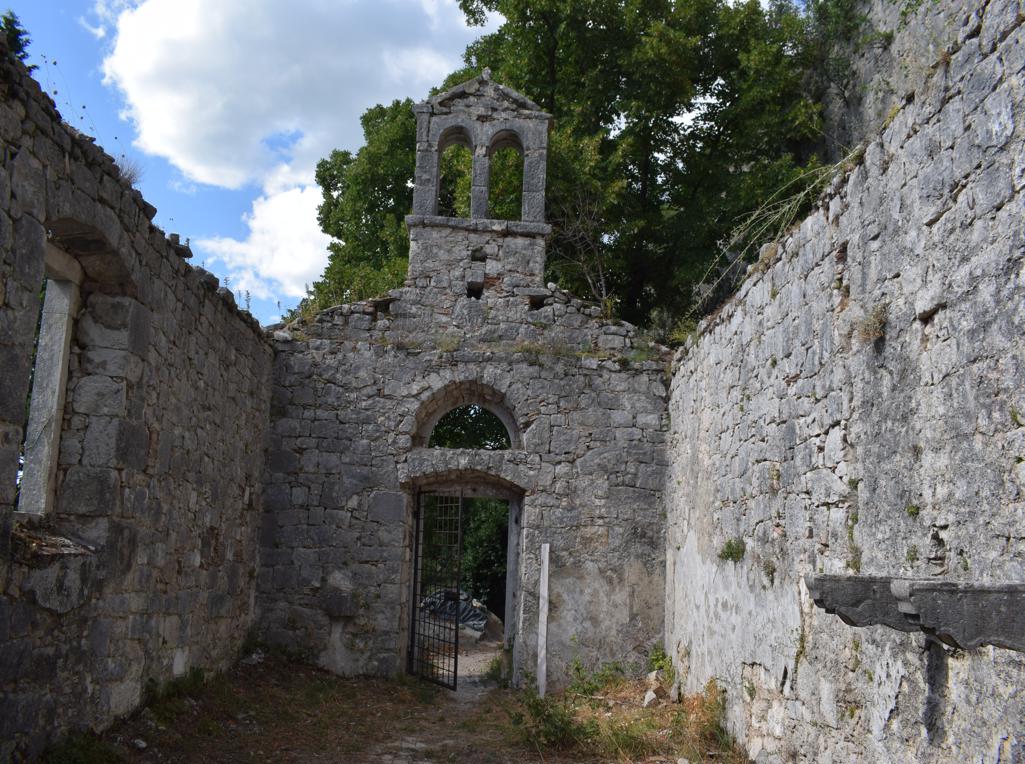
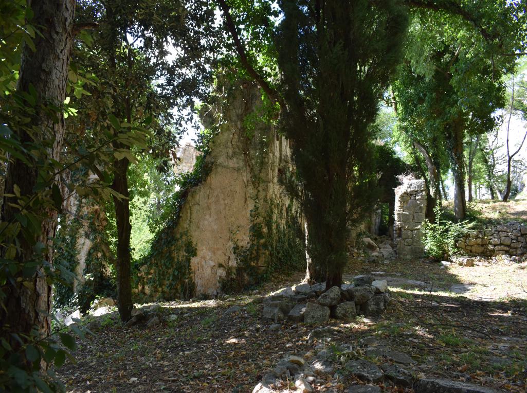
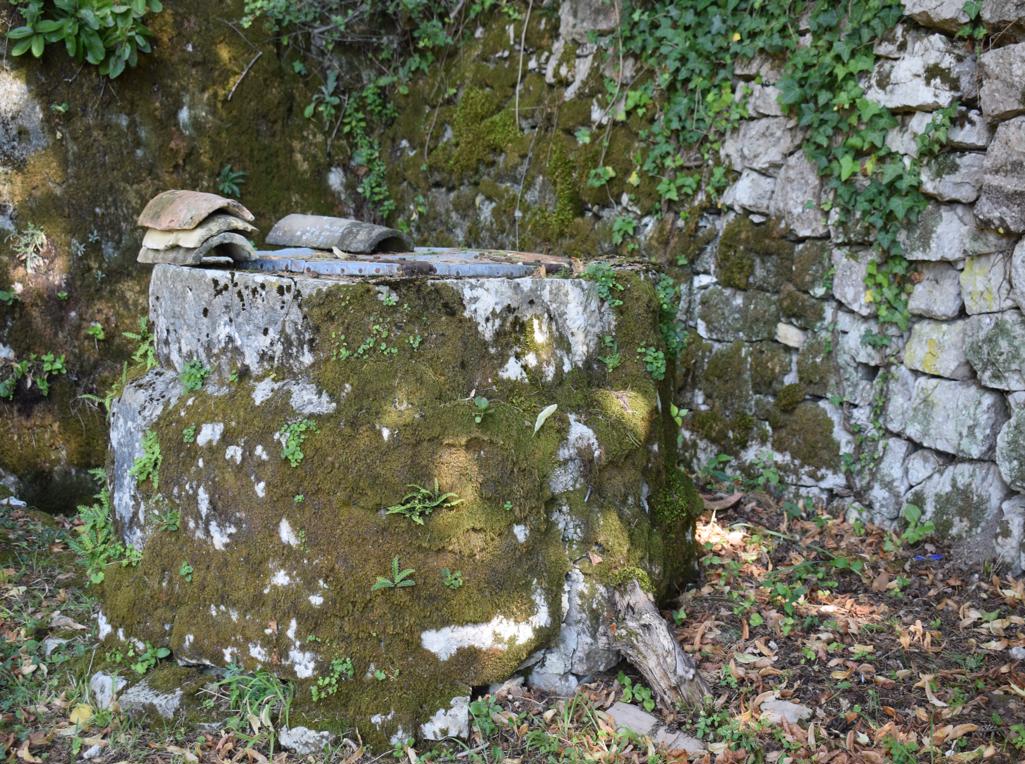
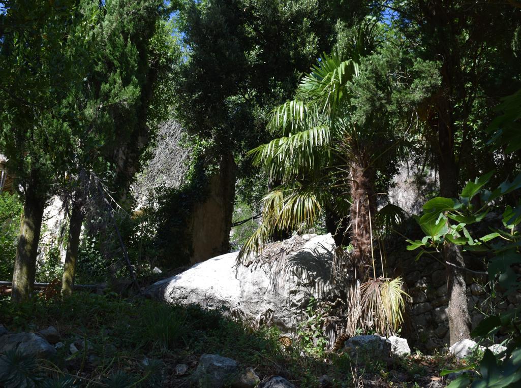
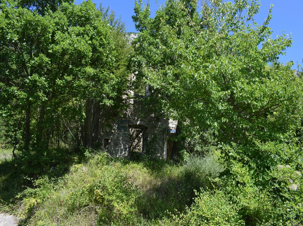
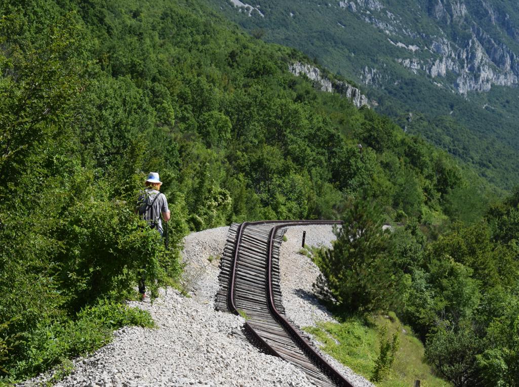
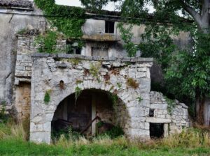
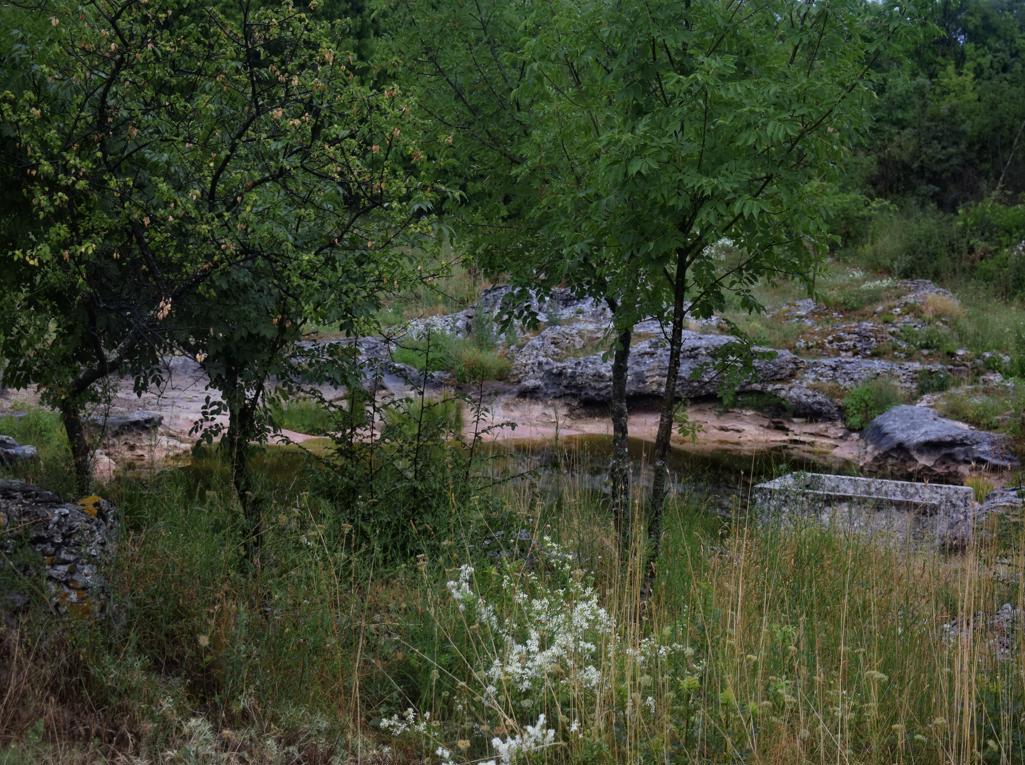
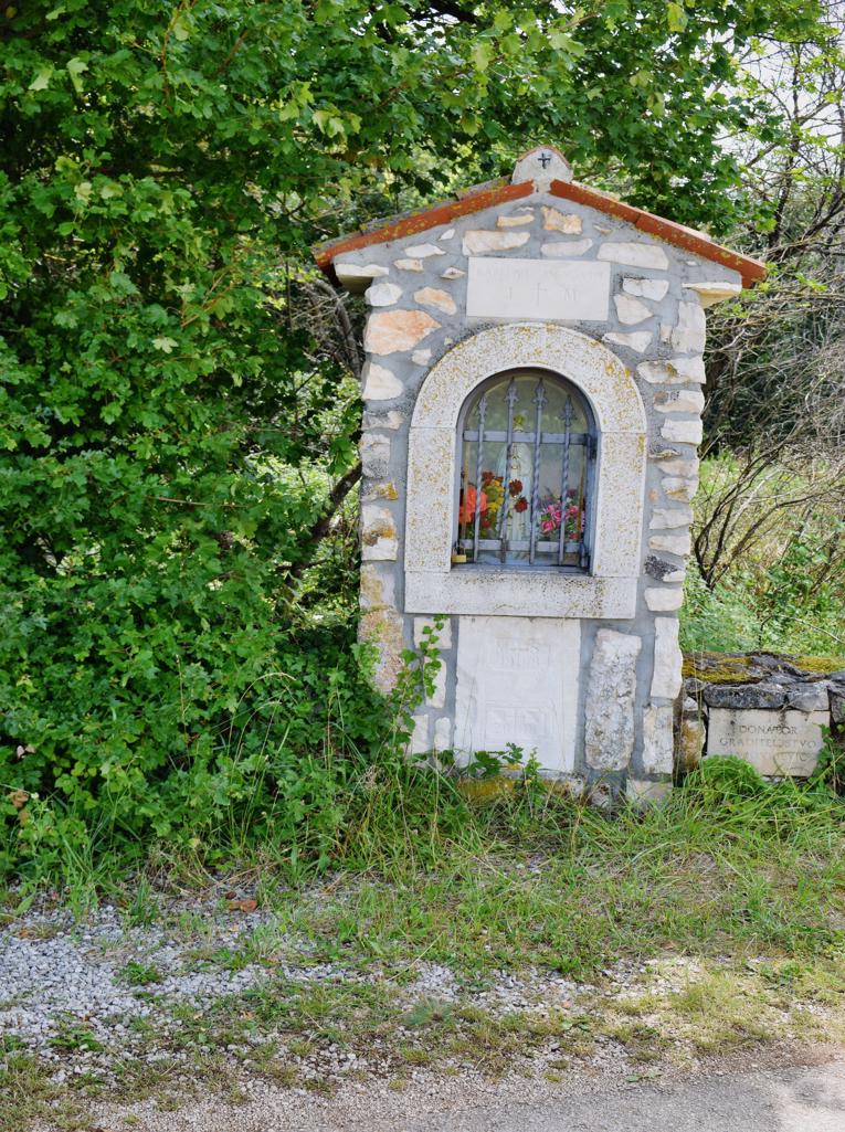
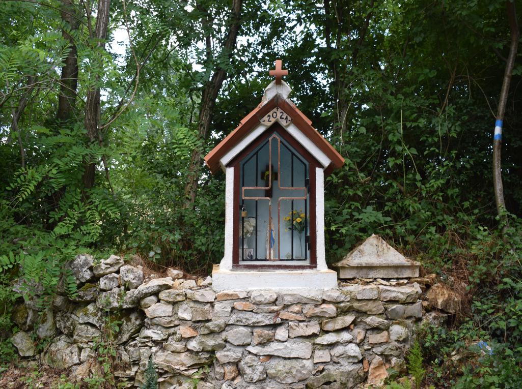
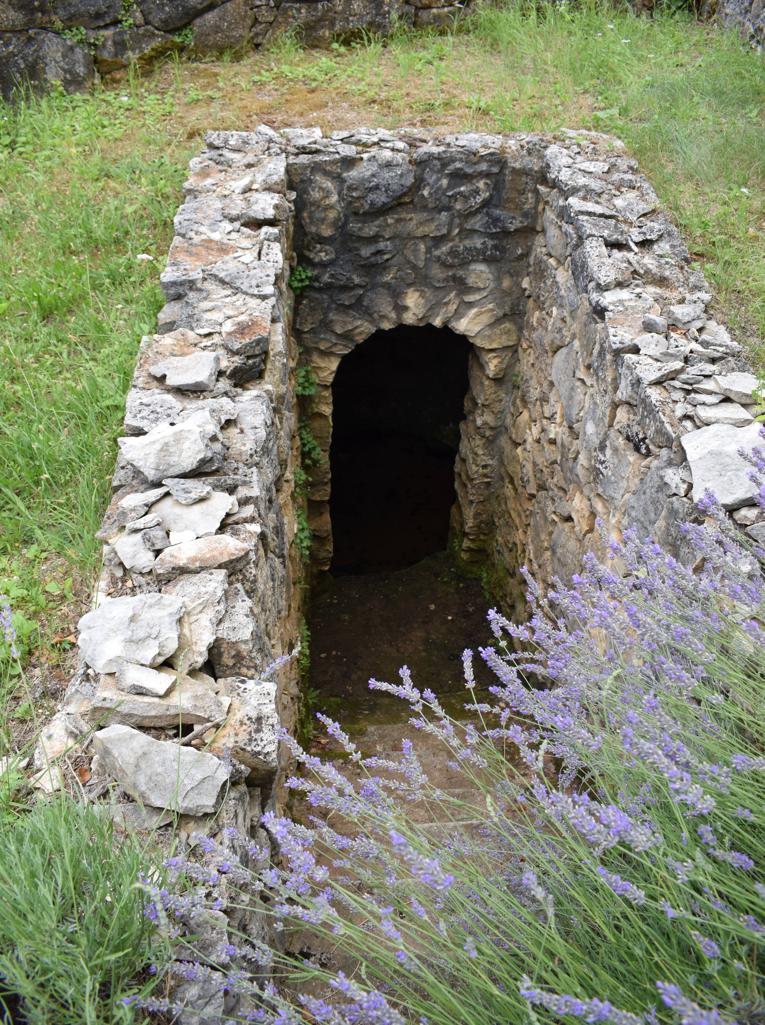
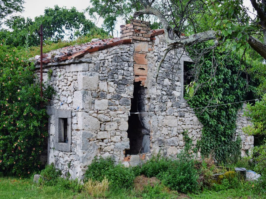
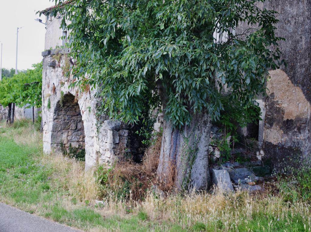
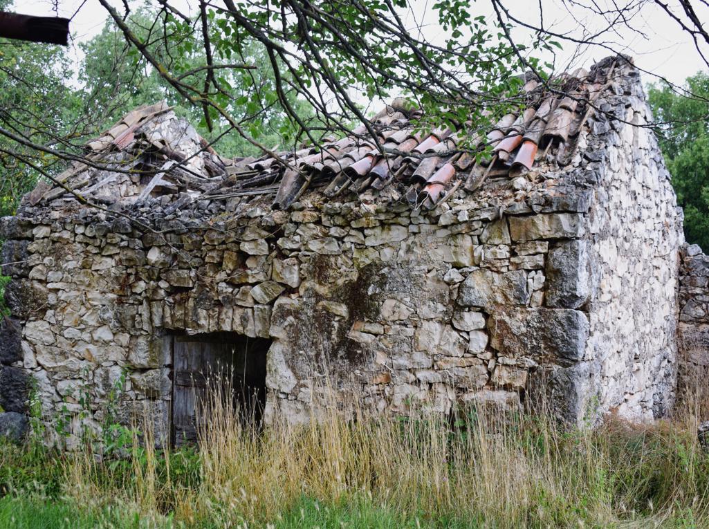
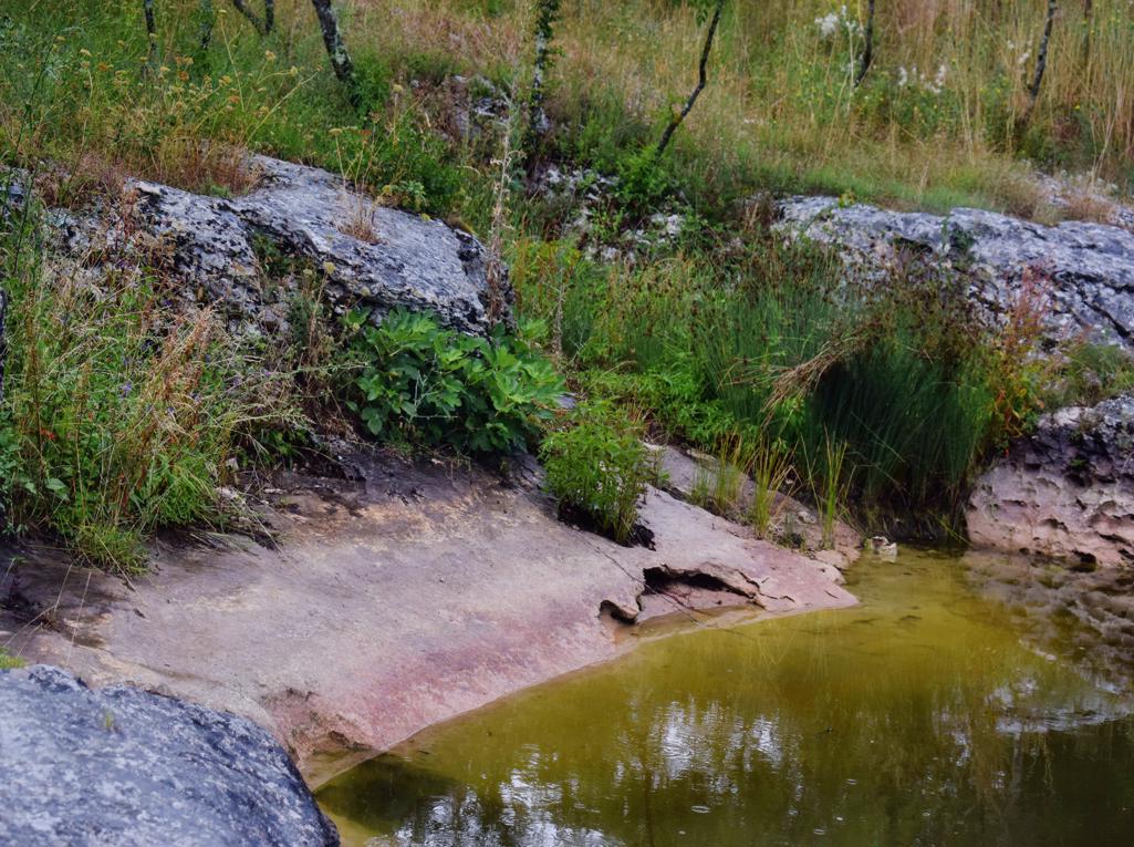
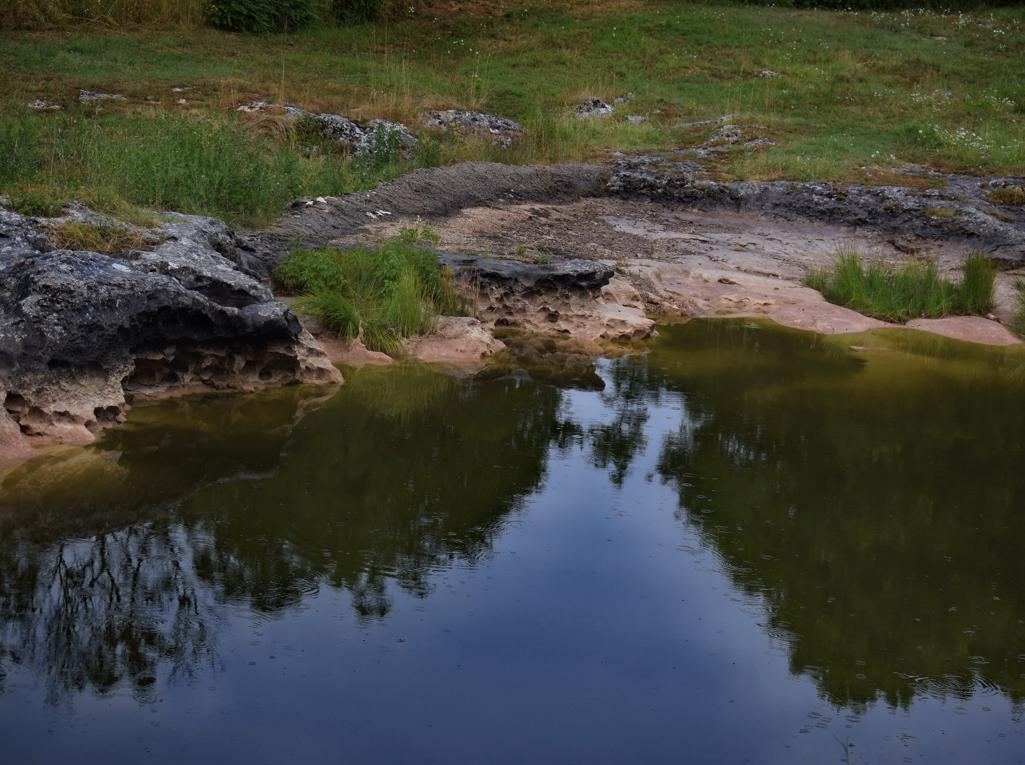
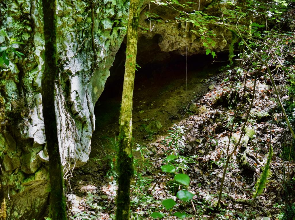
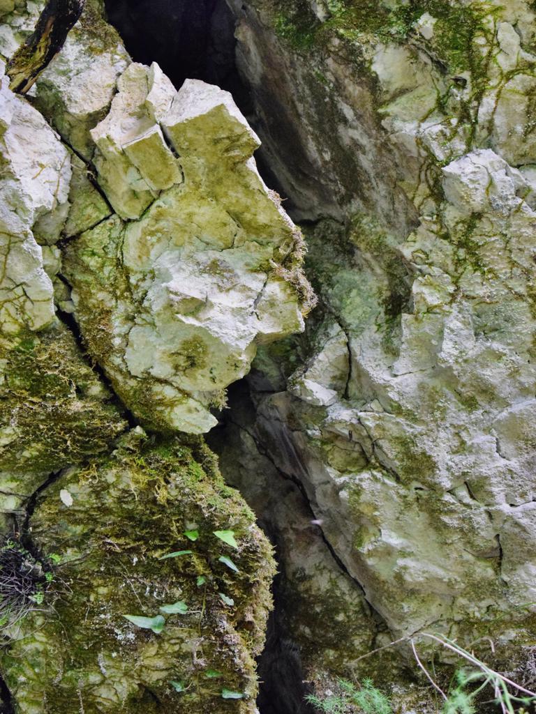
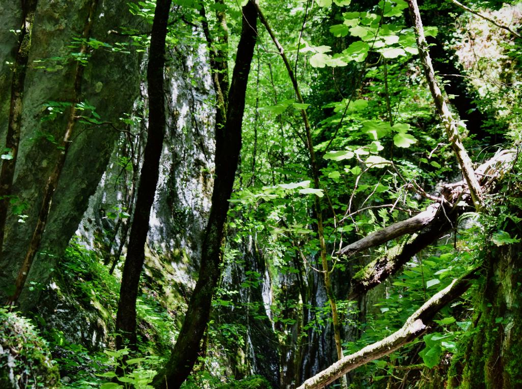
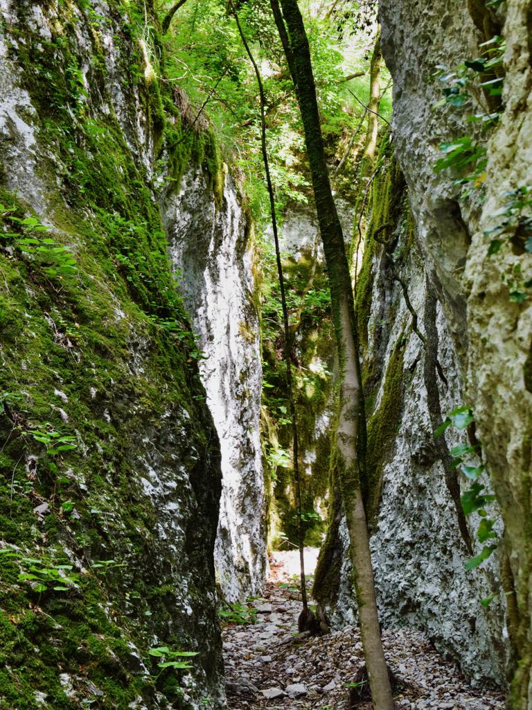
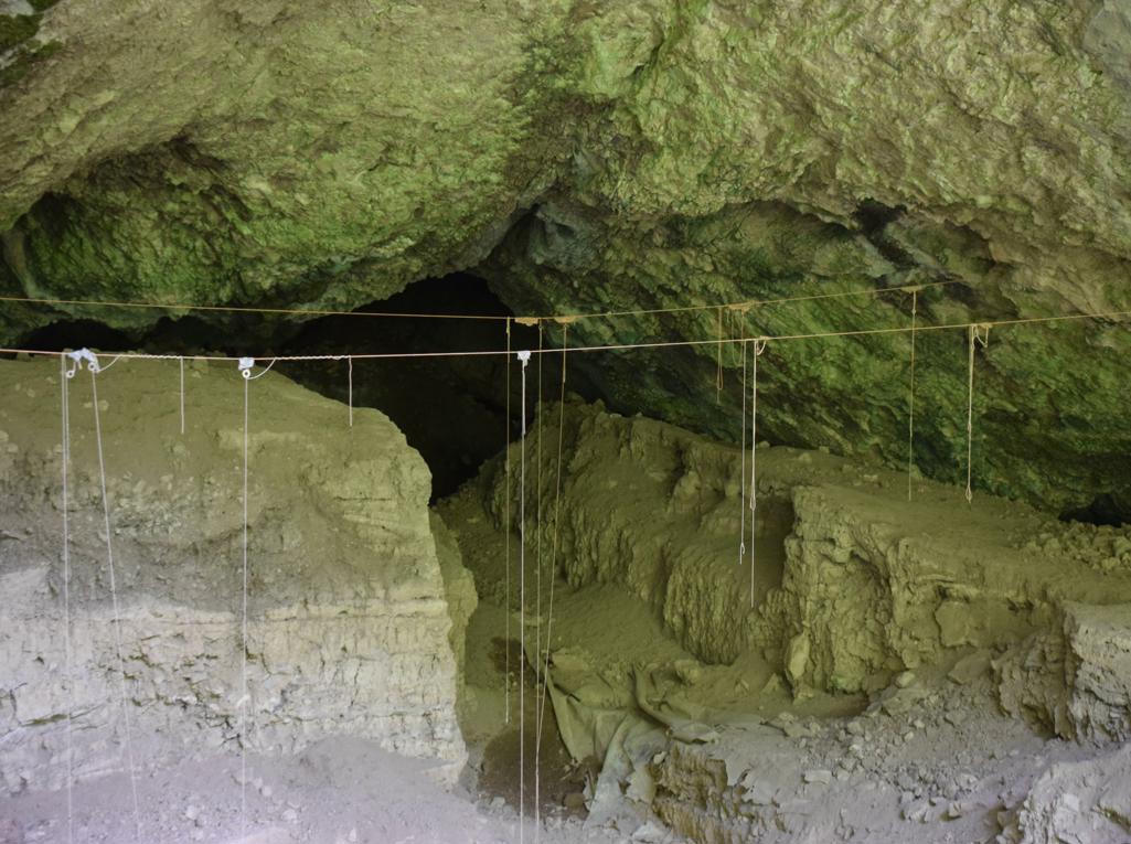
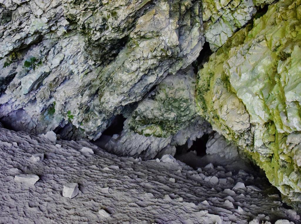
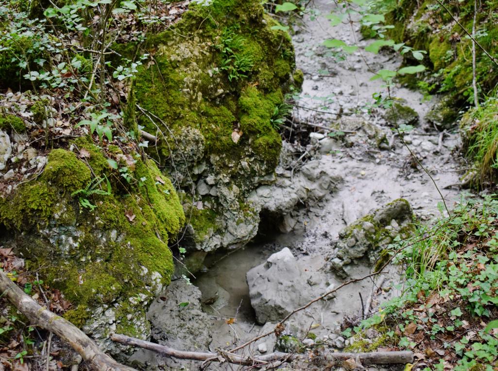
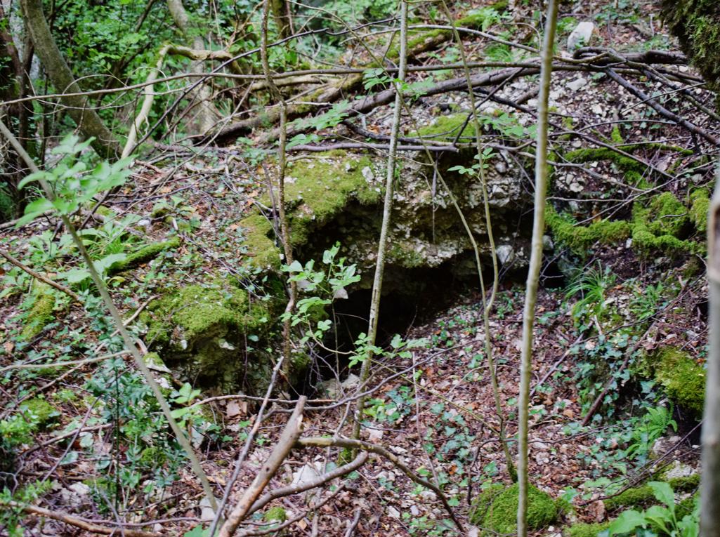
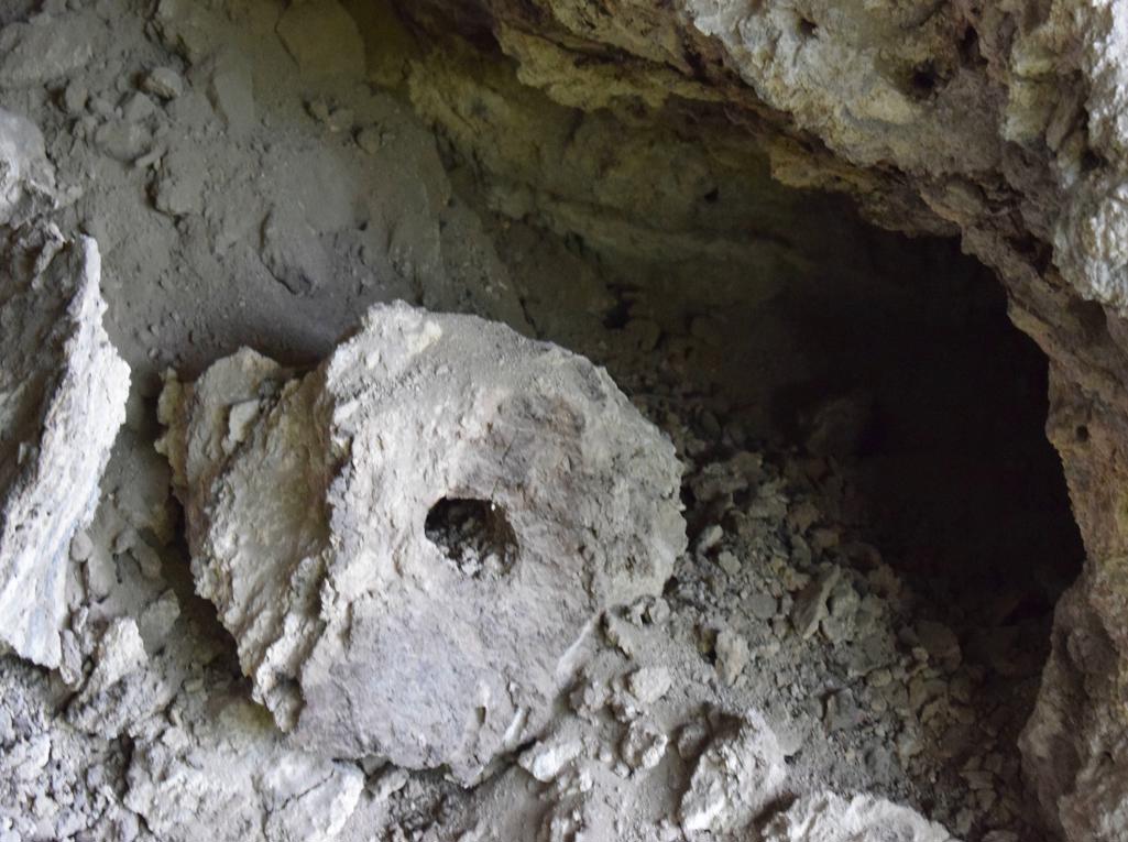
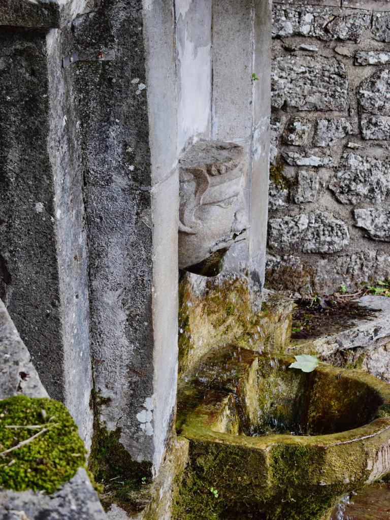
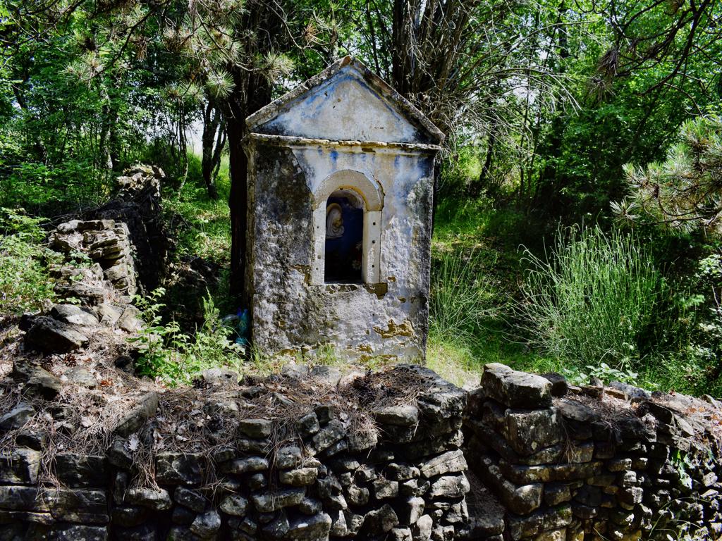
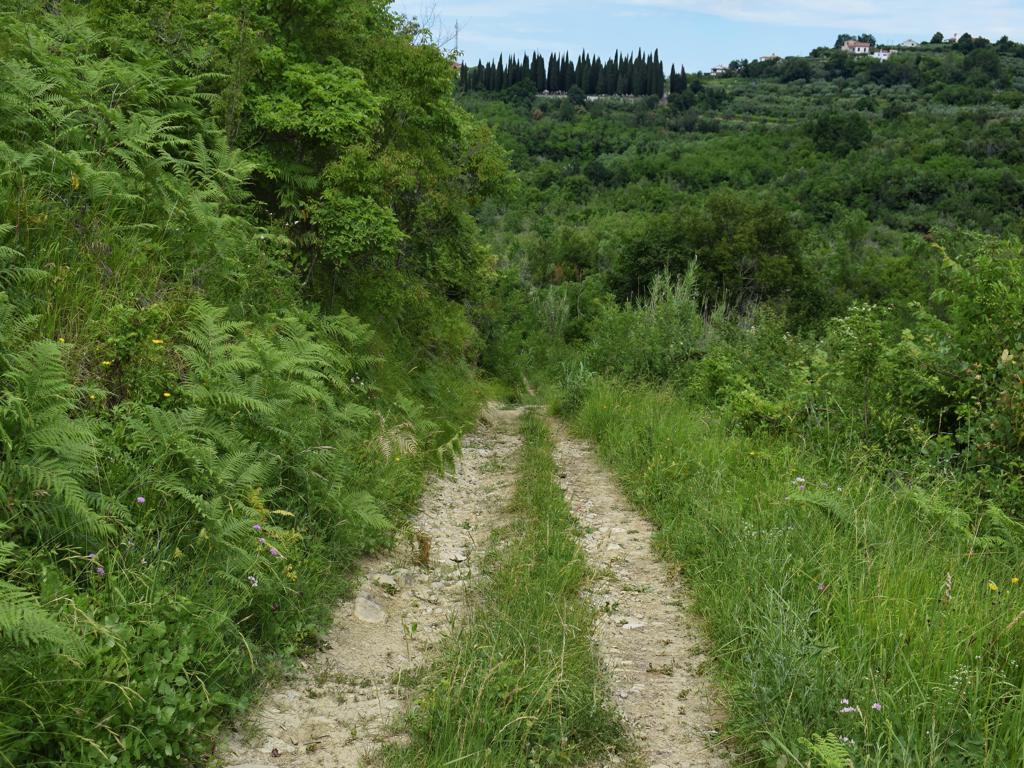
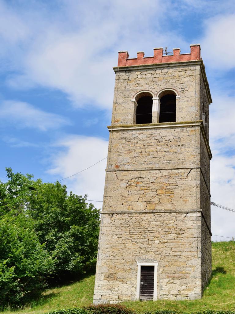
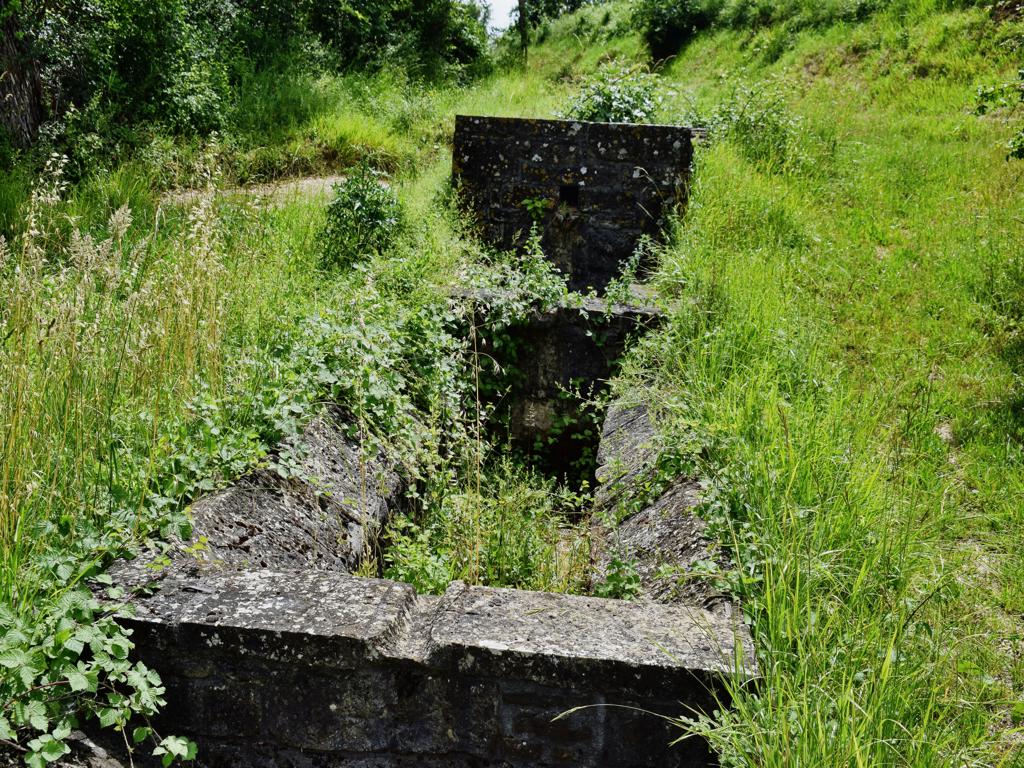
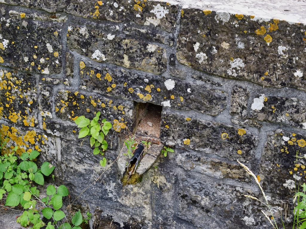
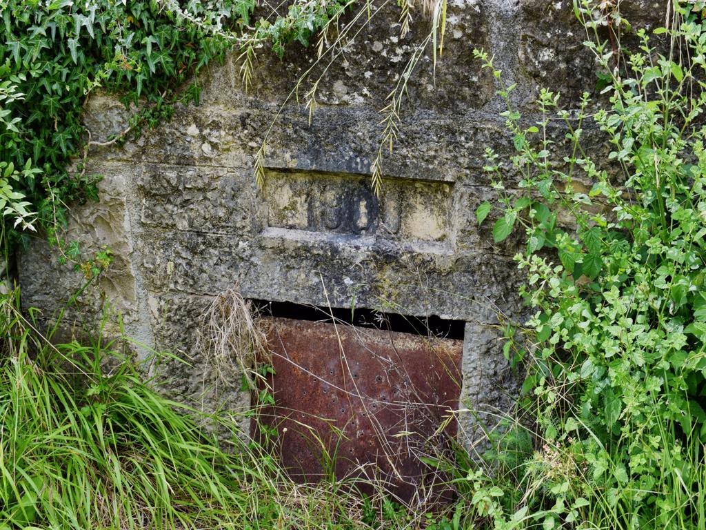
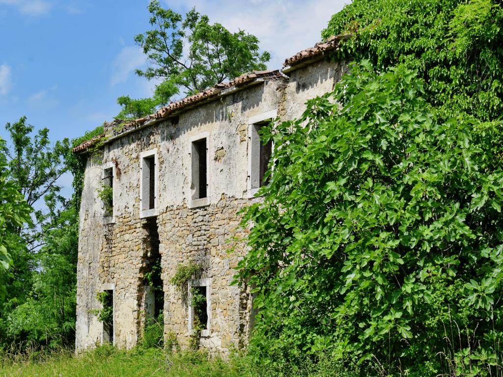
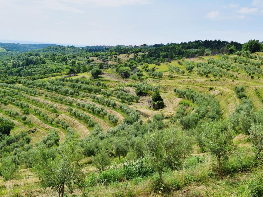
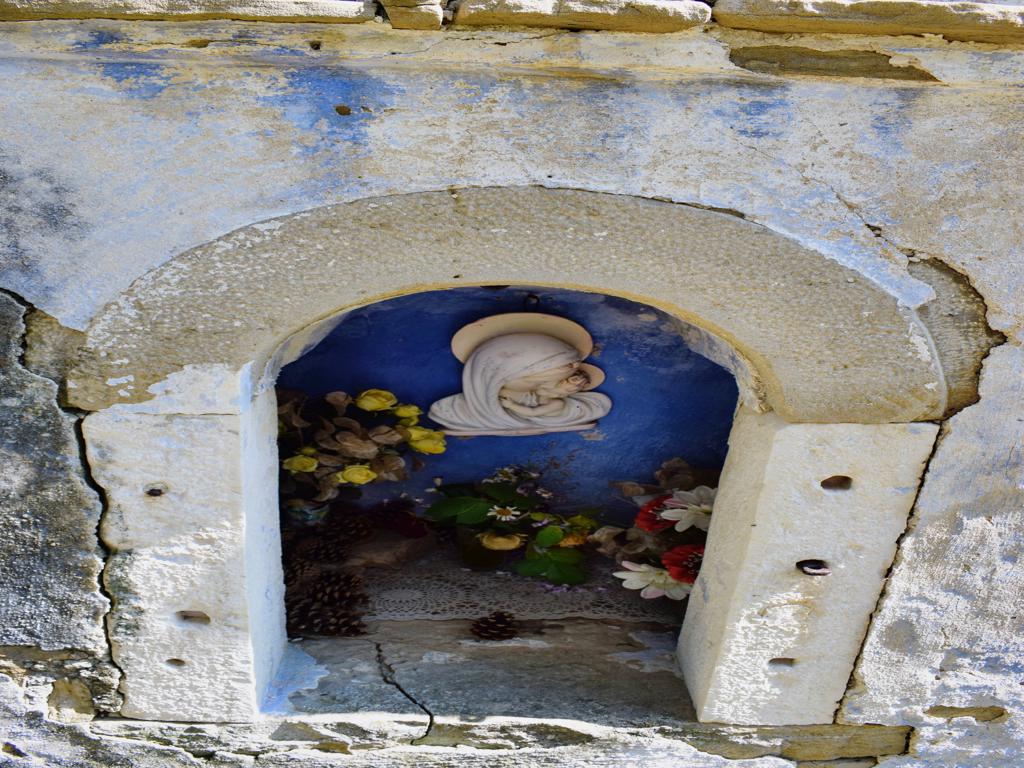
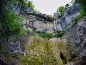
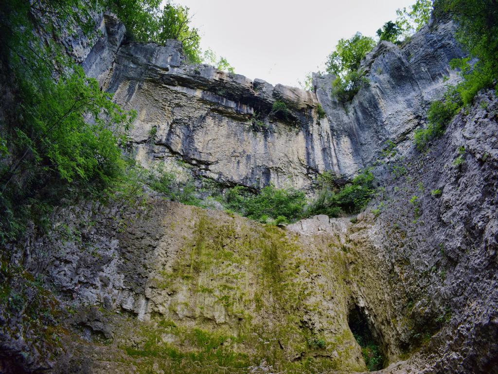
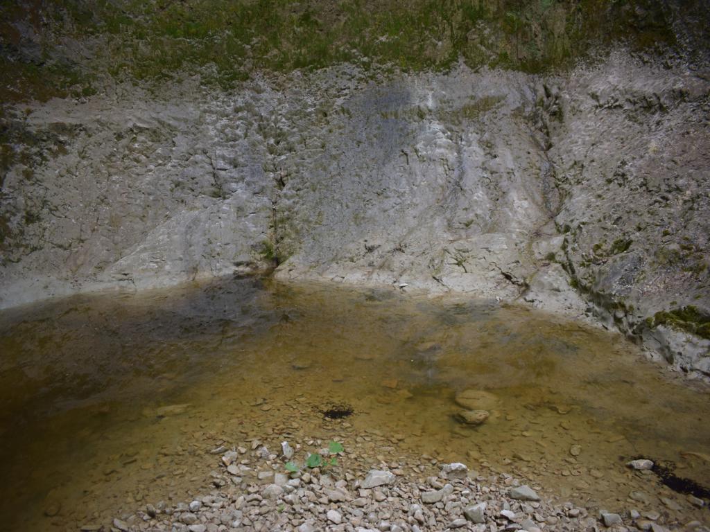
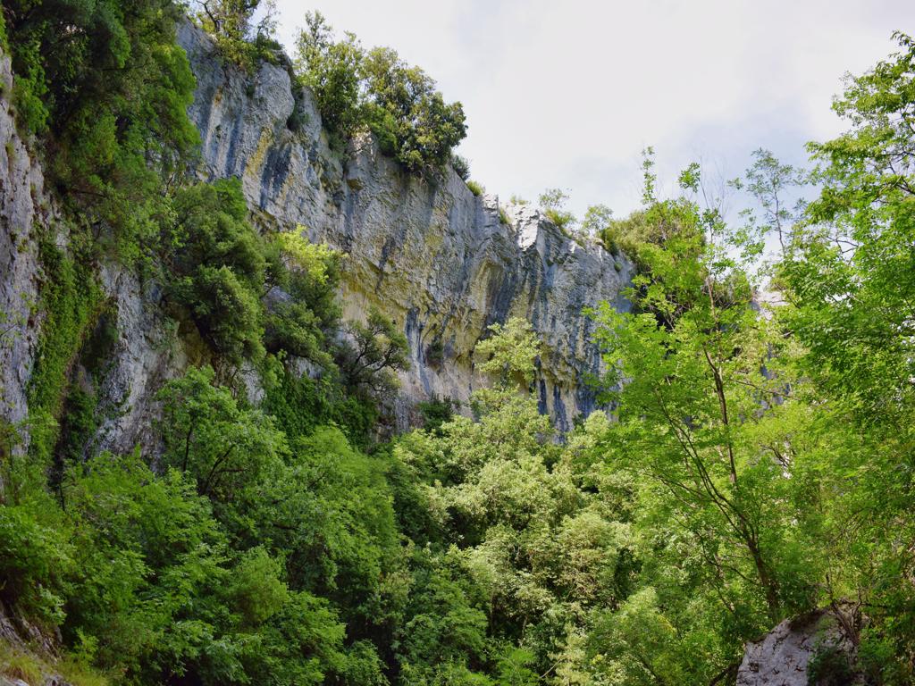
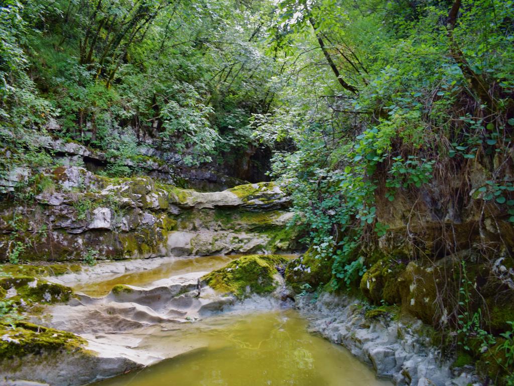
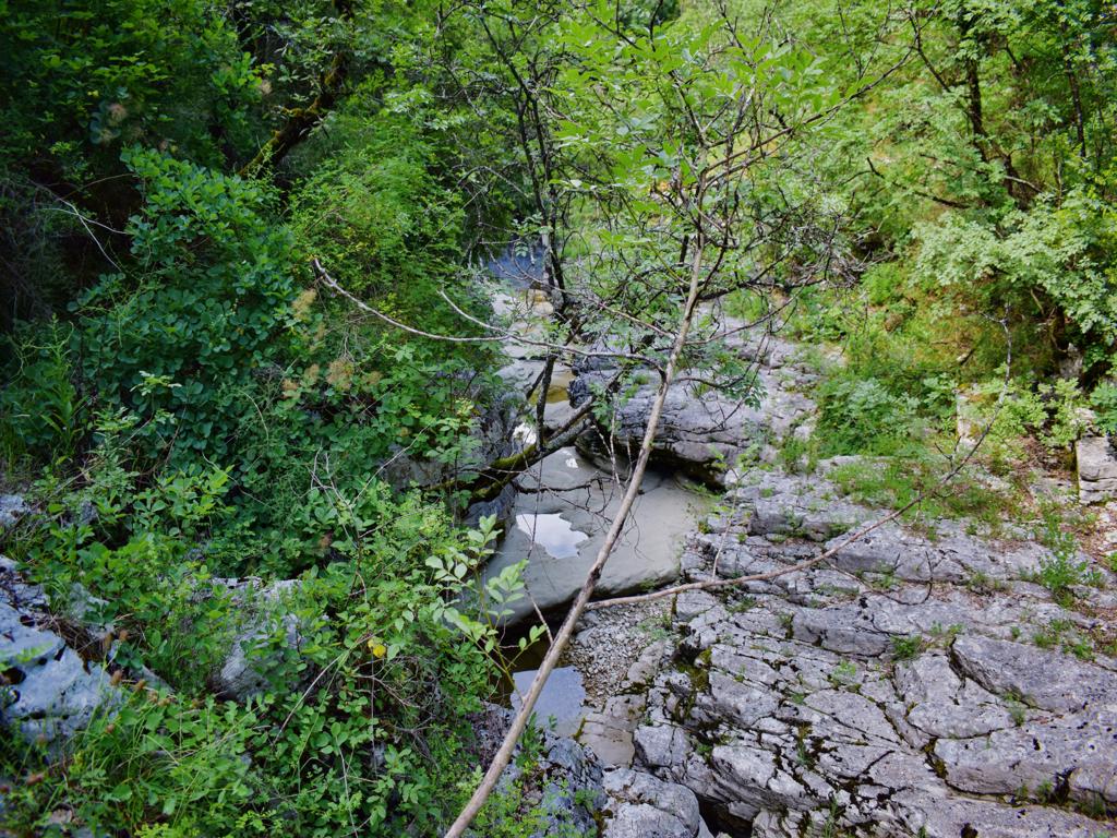
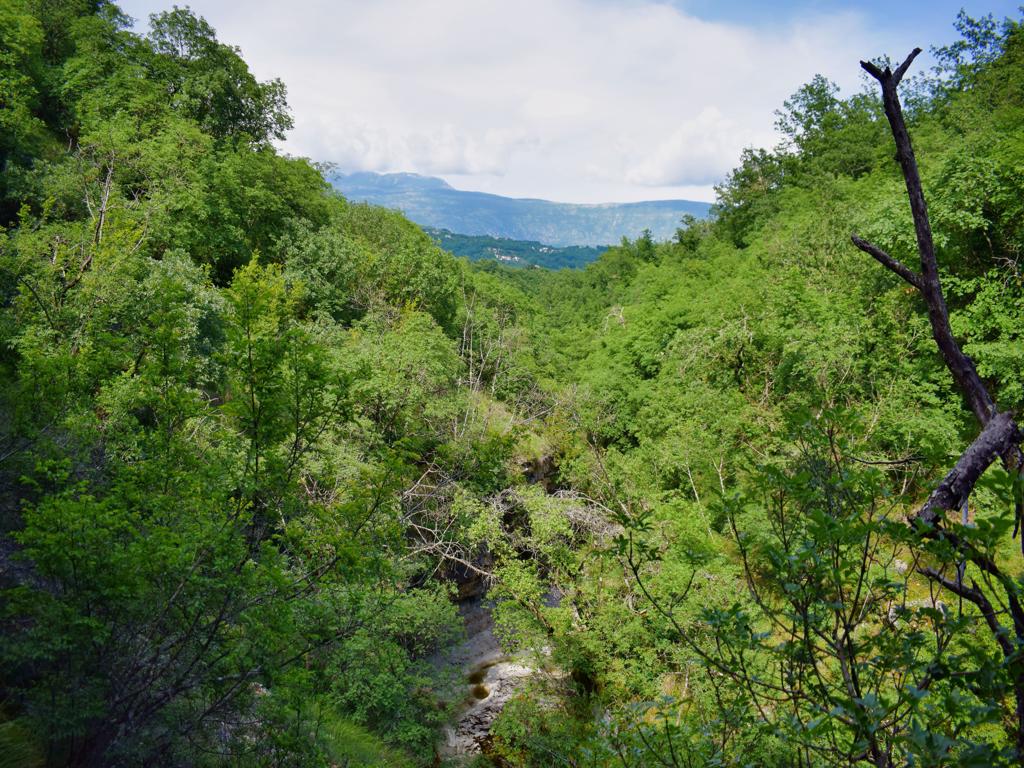
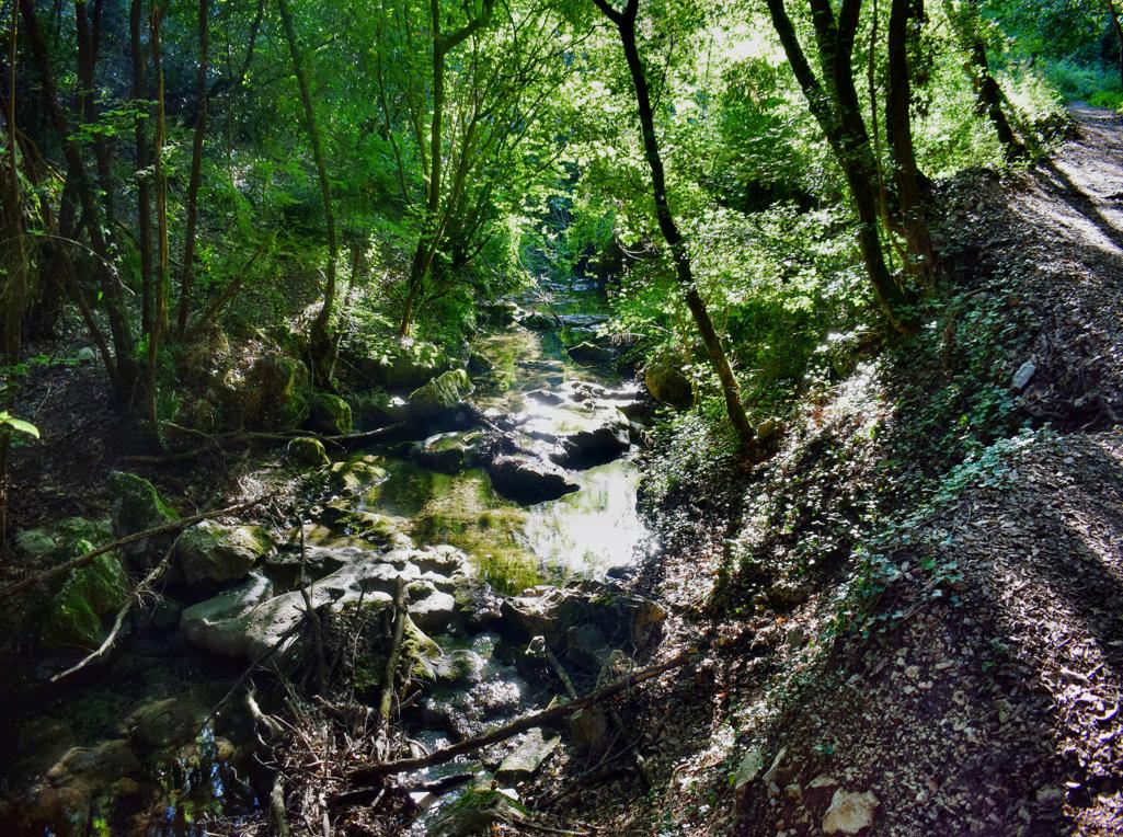
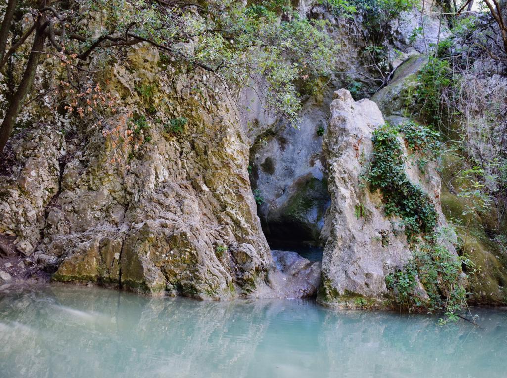
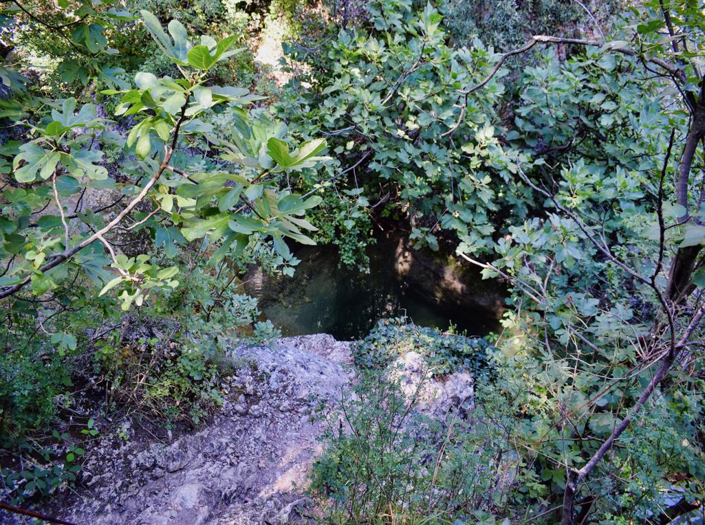
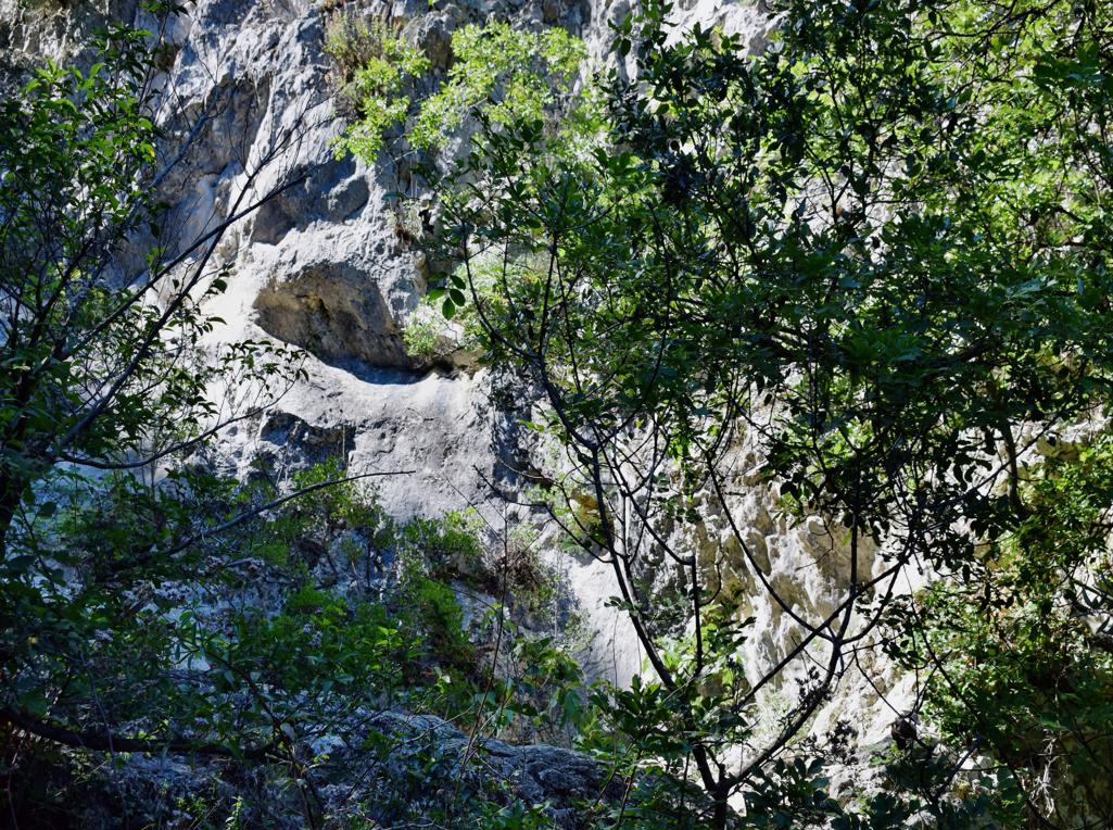
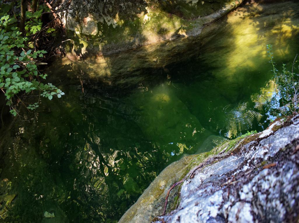
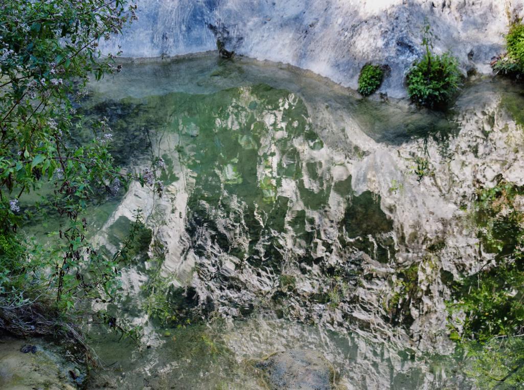
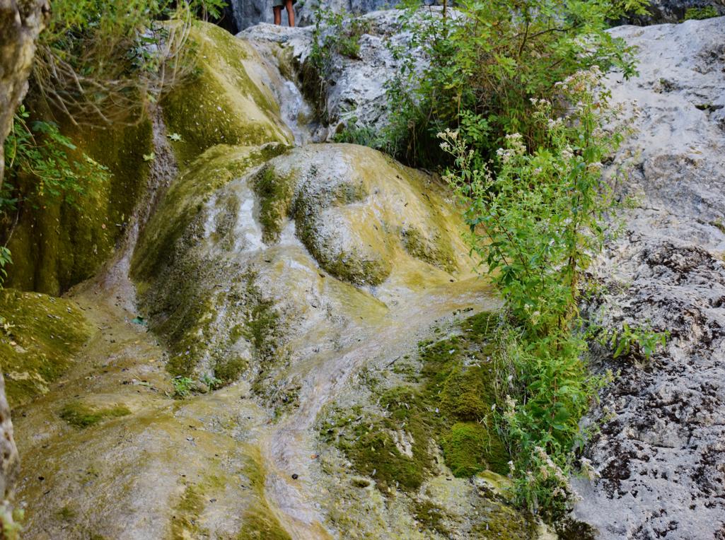
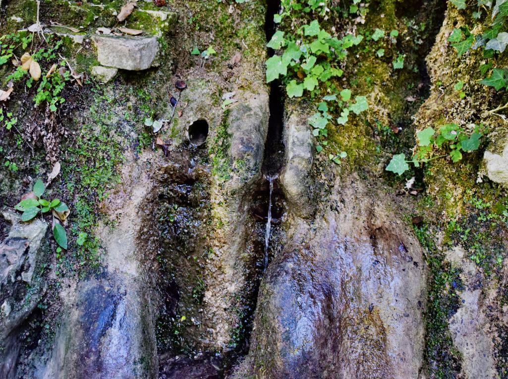
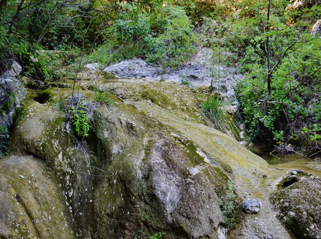
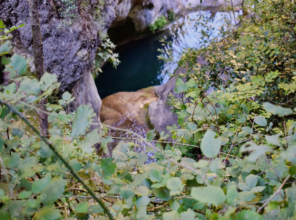
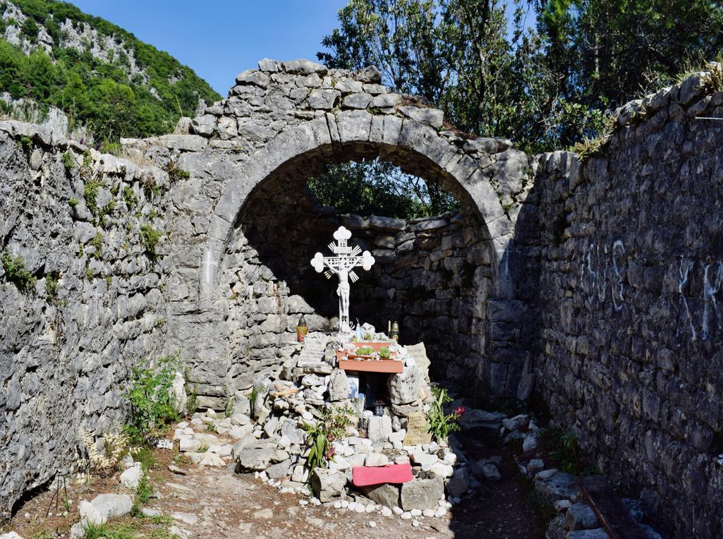
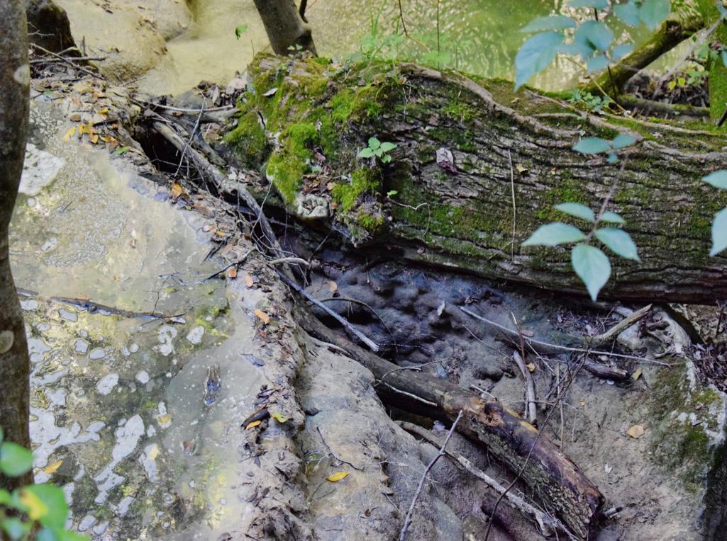
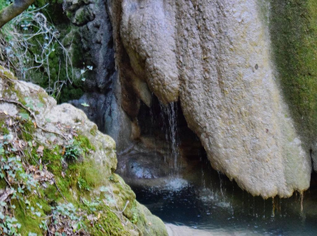
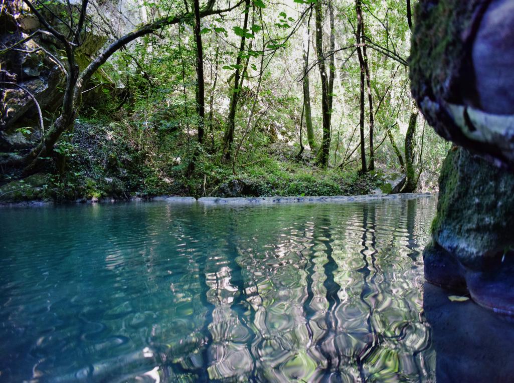
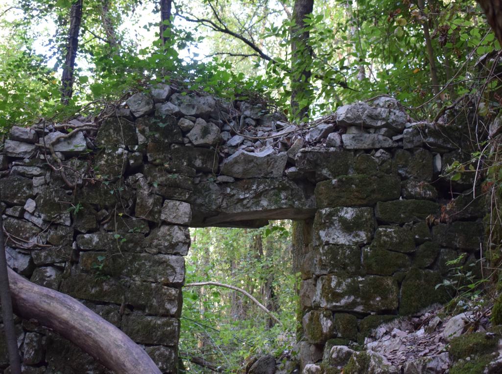
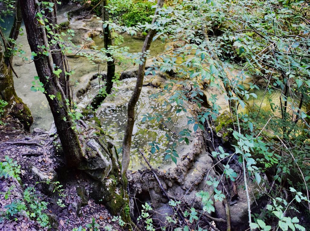
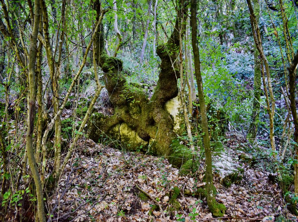
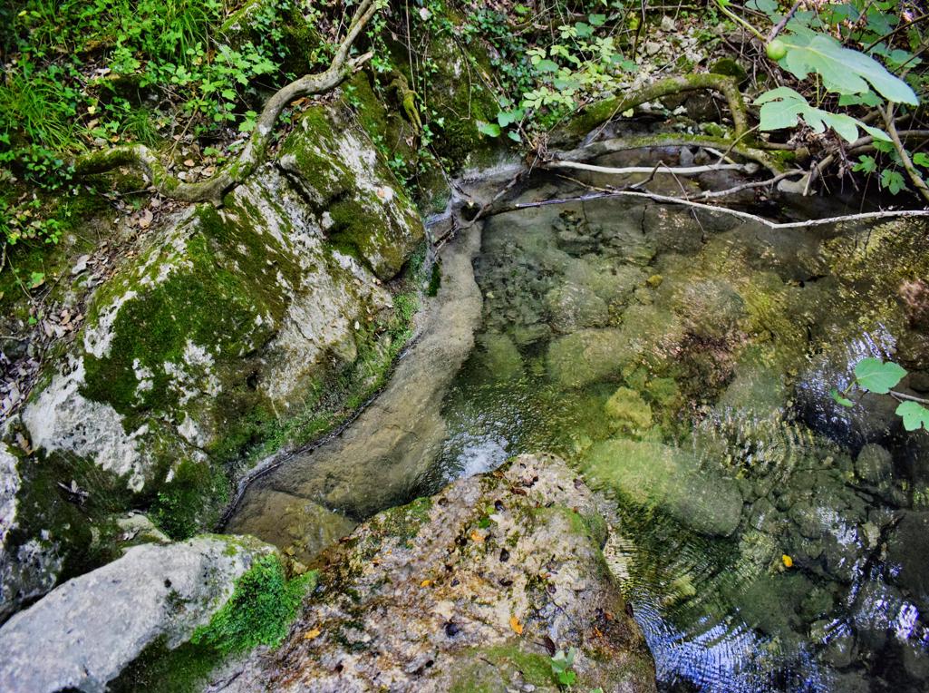
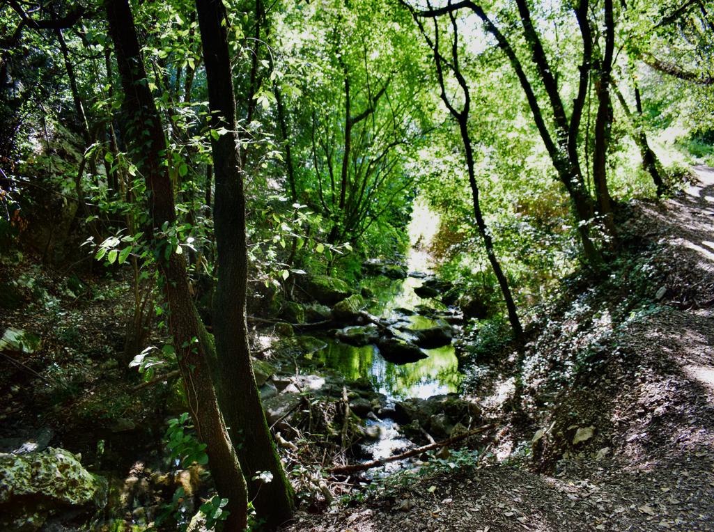
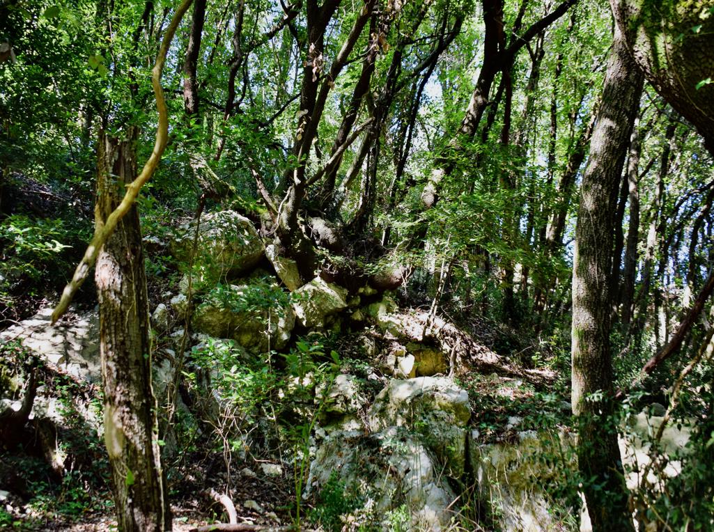
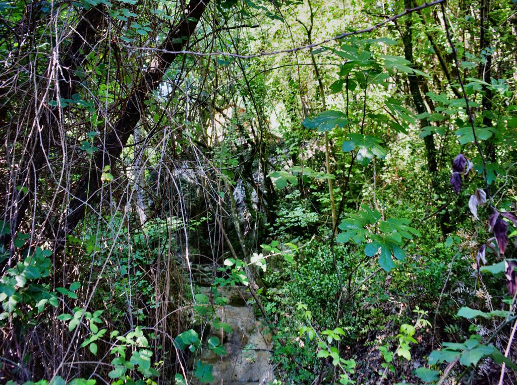
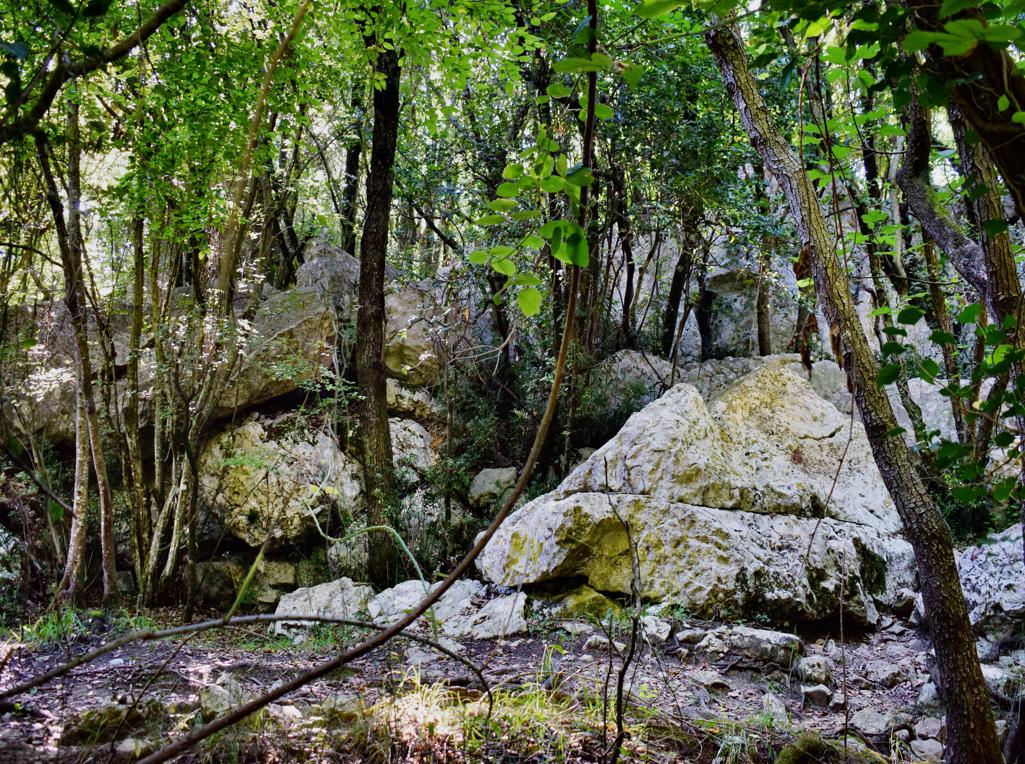
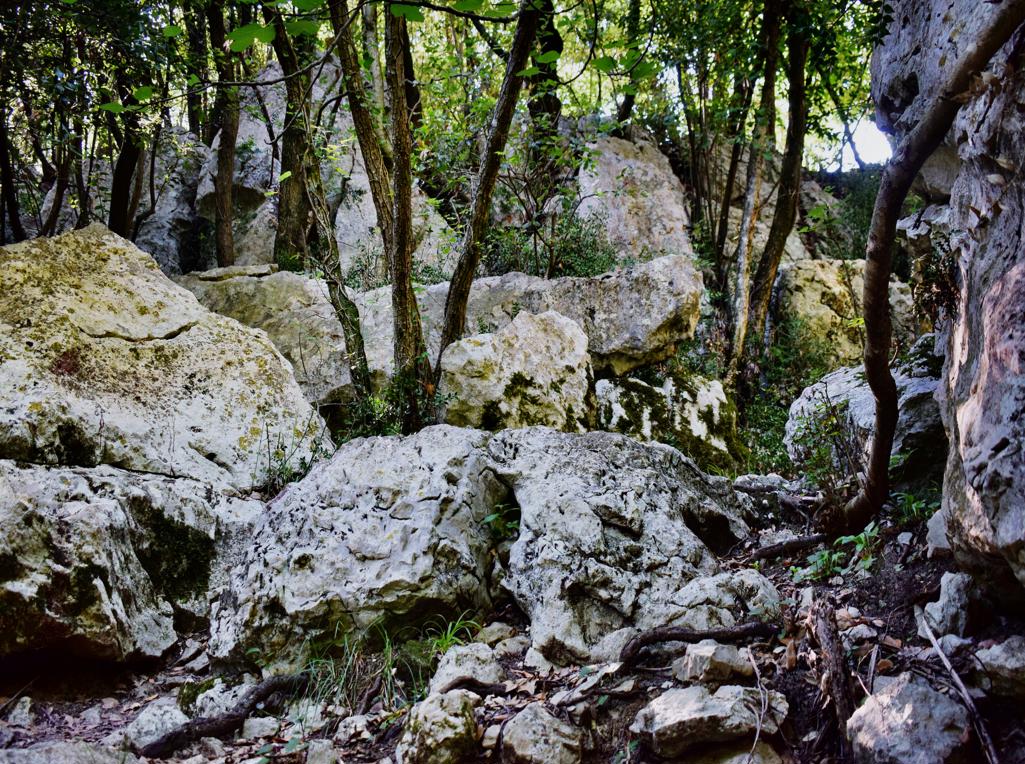
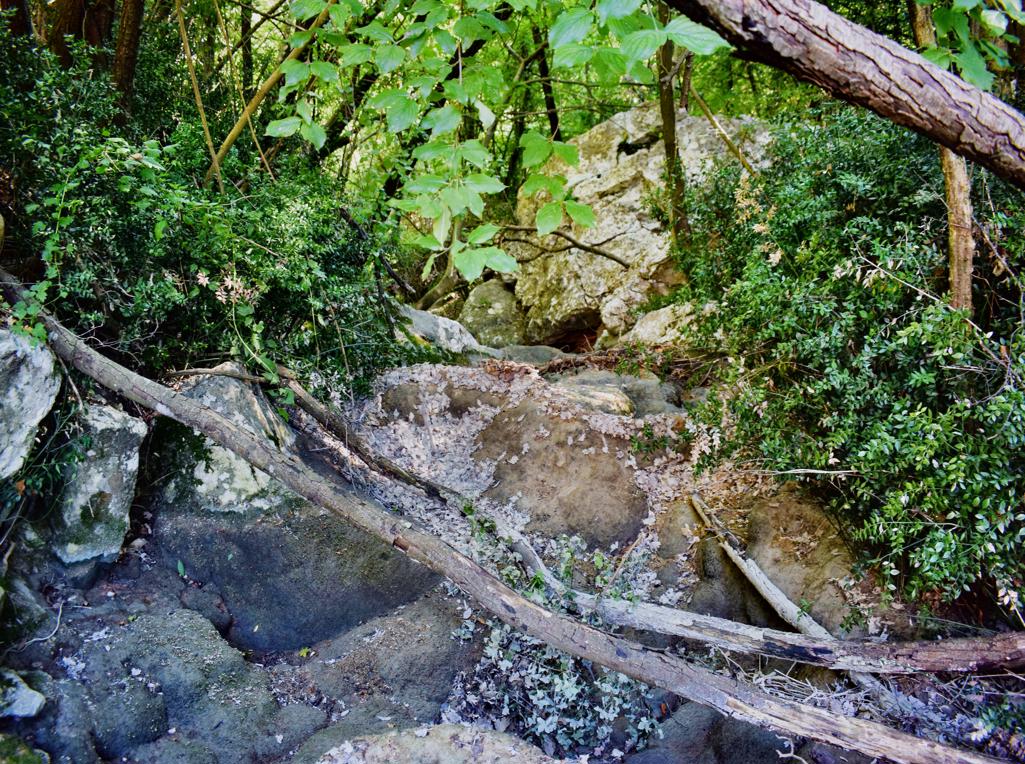
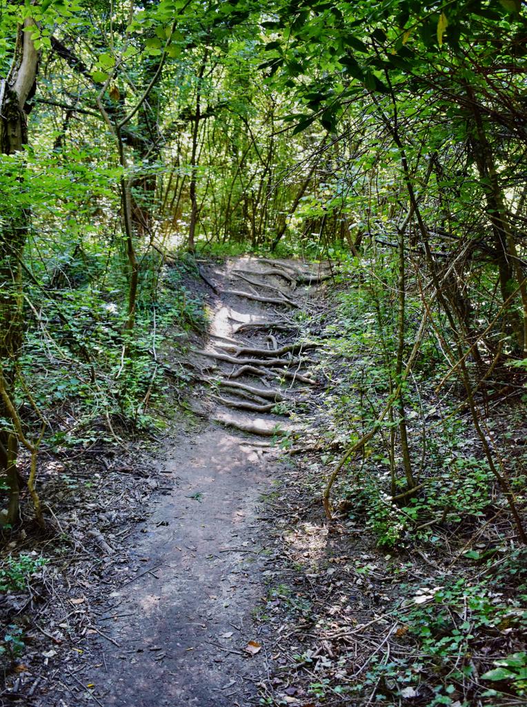
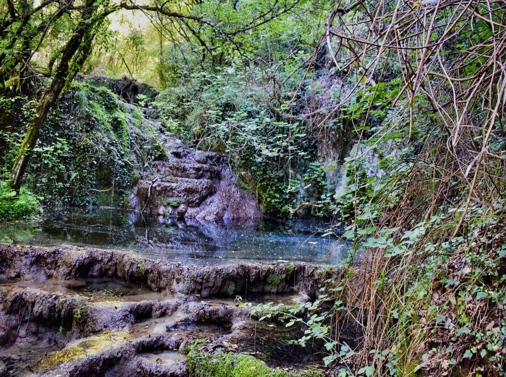
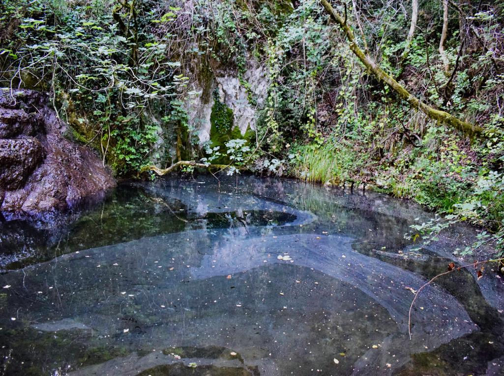
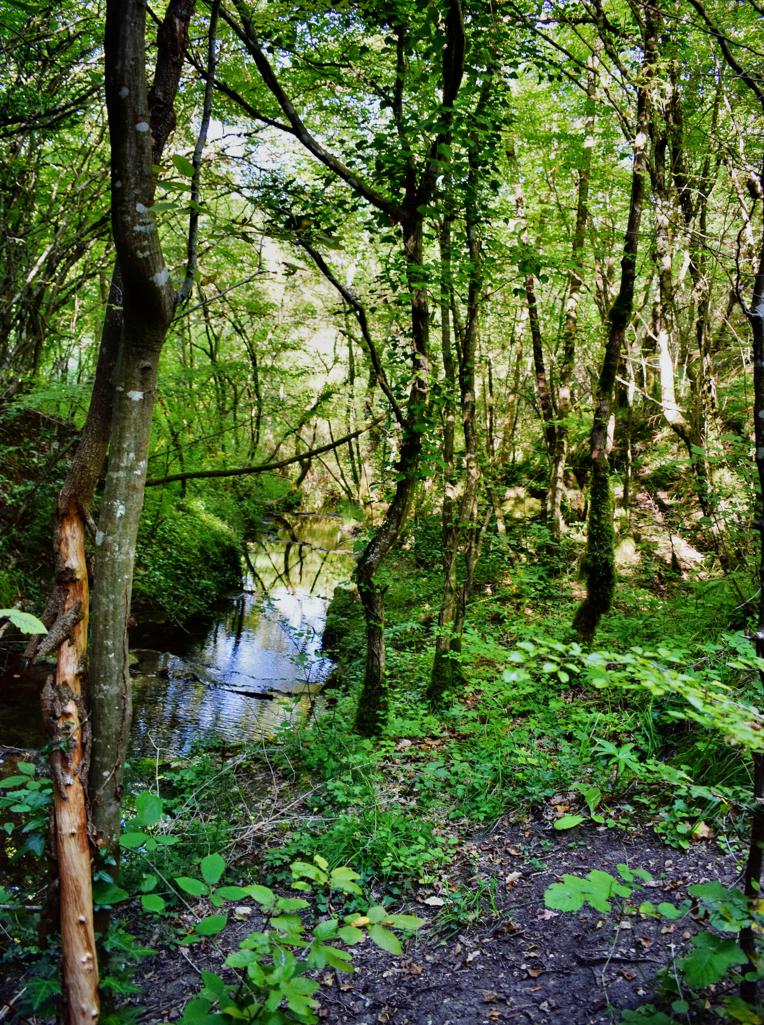
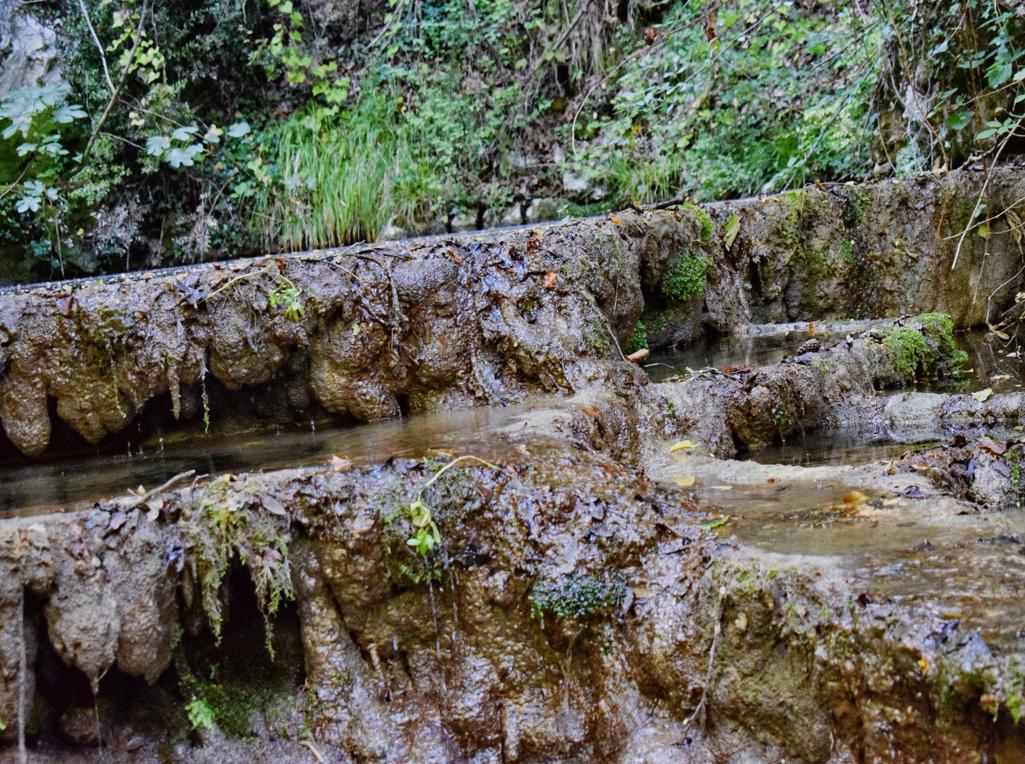
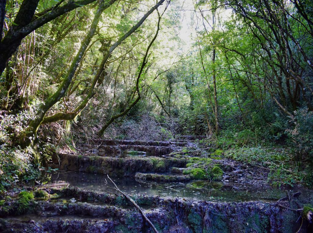
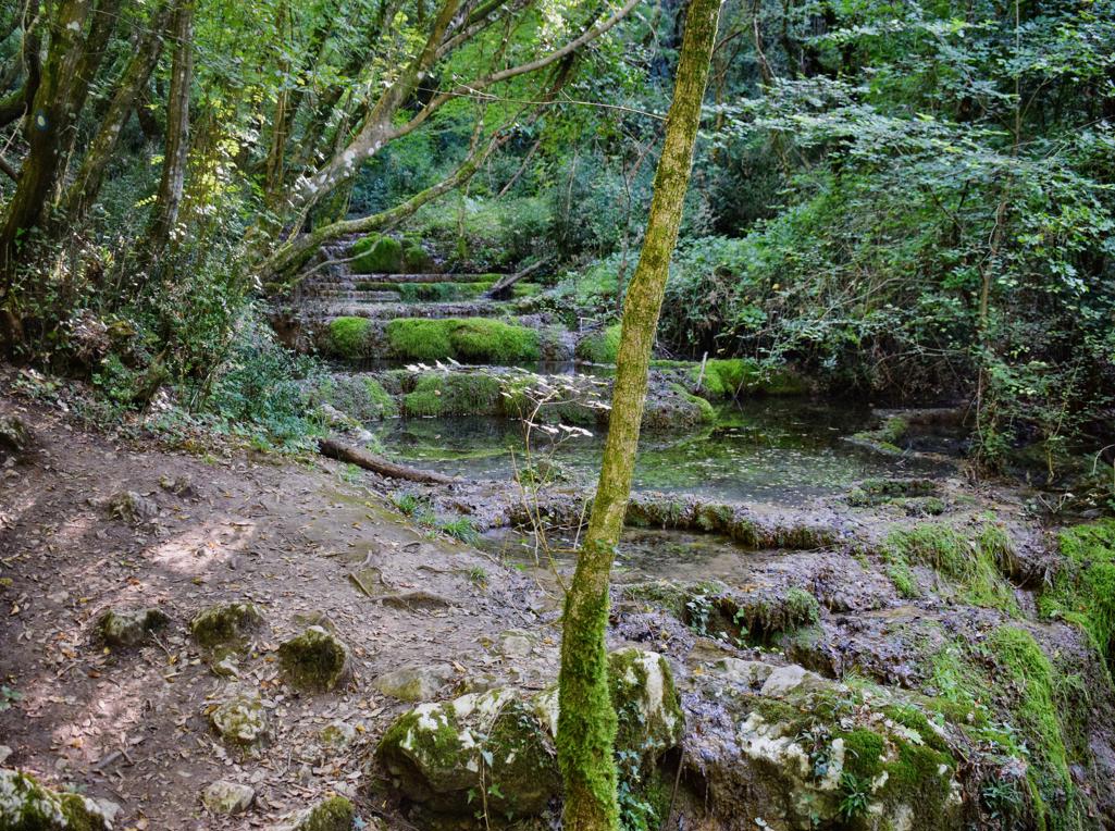
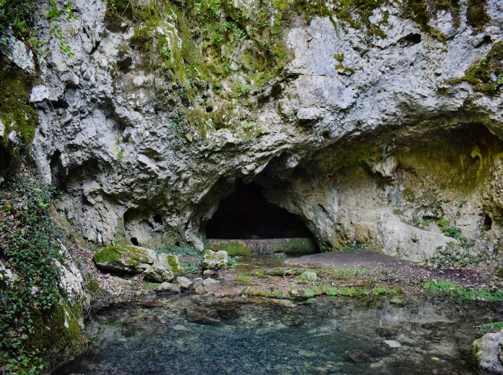
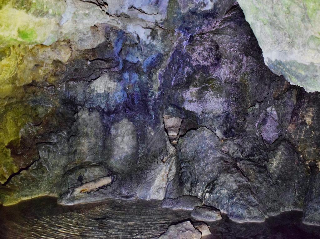
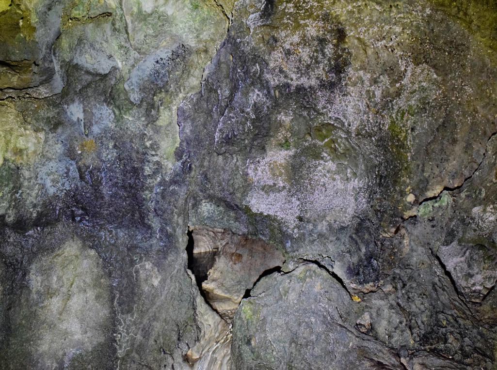
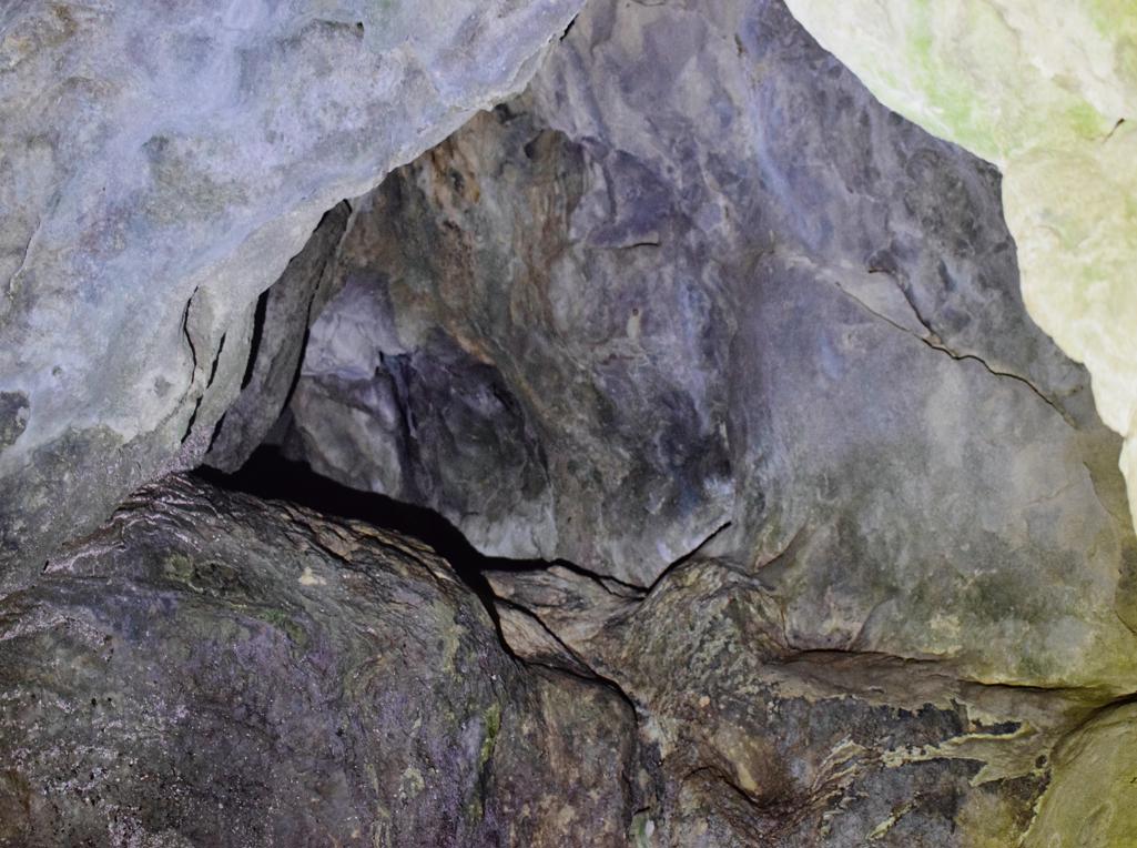
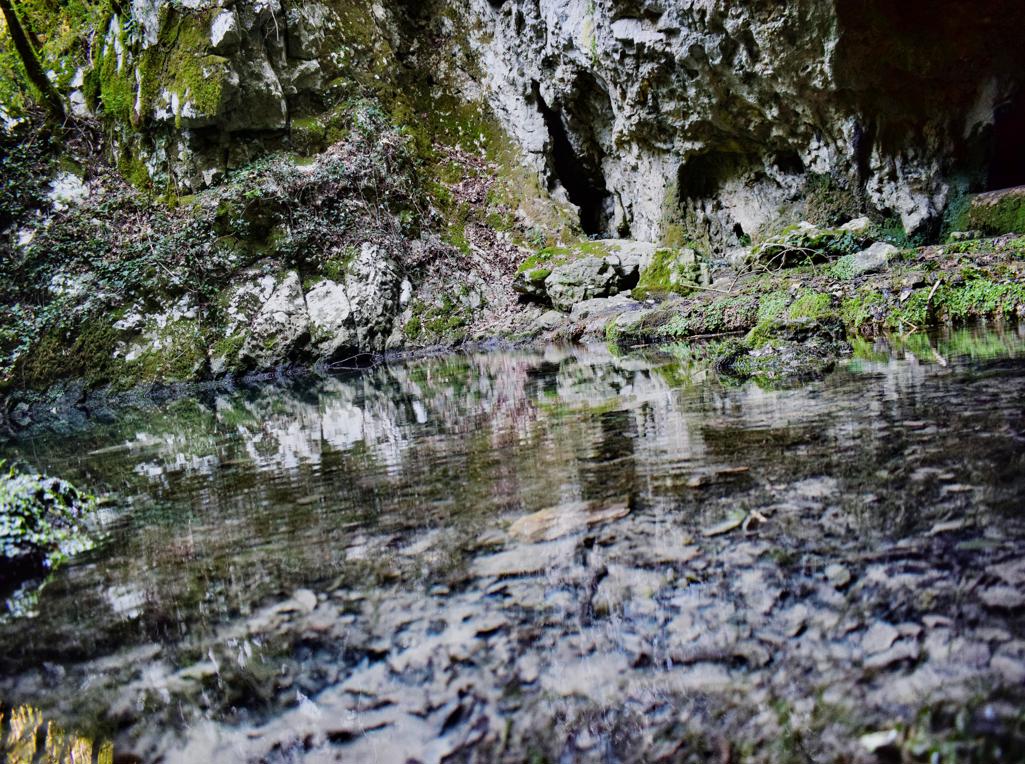
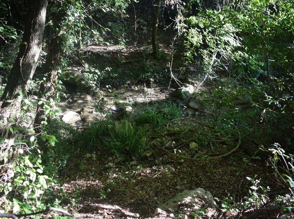
“The Goddess of Sendon” was a patron saint of travelers. The trail partly along the stream Pecina has several waterfalls, ruins of water mills and water springs. The name of the cave with a water source is called the Nigri. The church along the path is St. Hidran from the 12th/13th century.

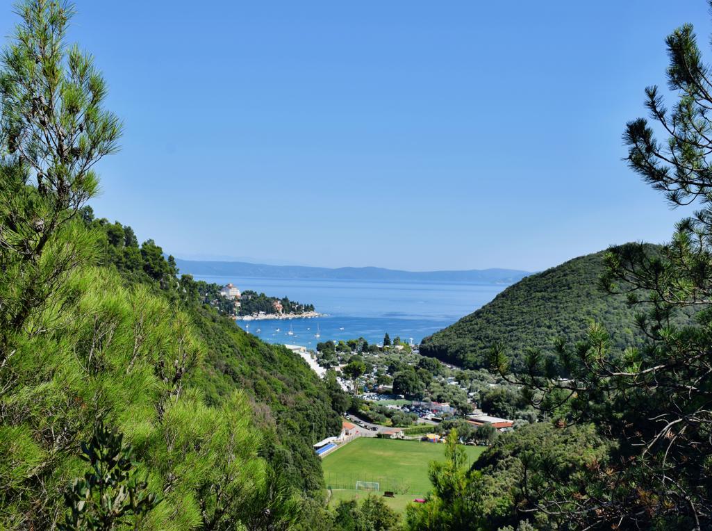

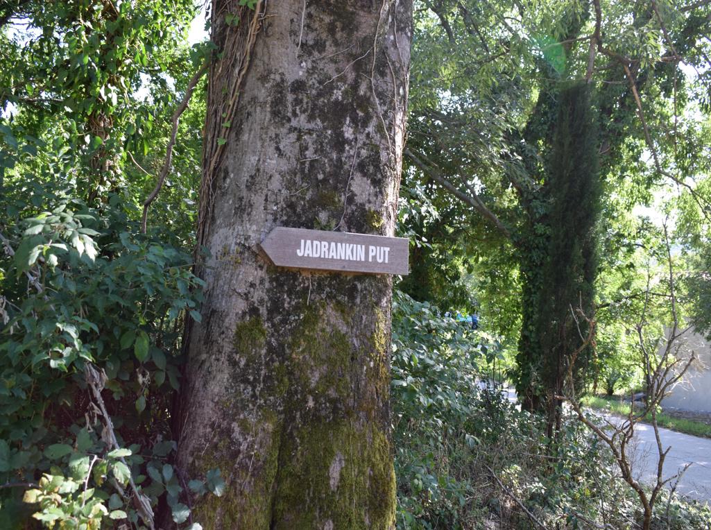
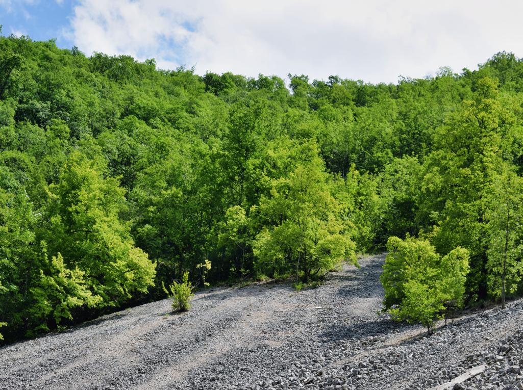
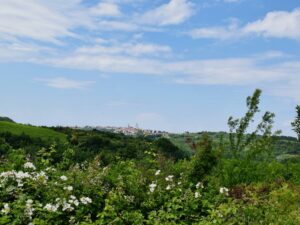
Name: Trail of Goddess Sedon from Rabac to Labin.
Place: Rabac – Labin.
Coordinates: Start trail 45.08126 N – 14.14586 E.