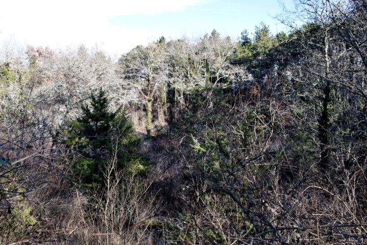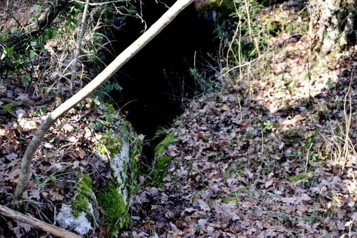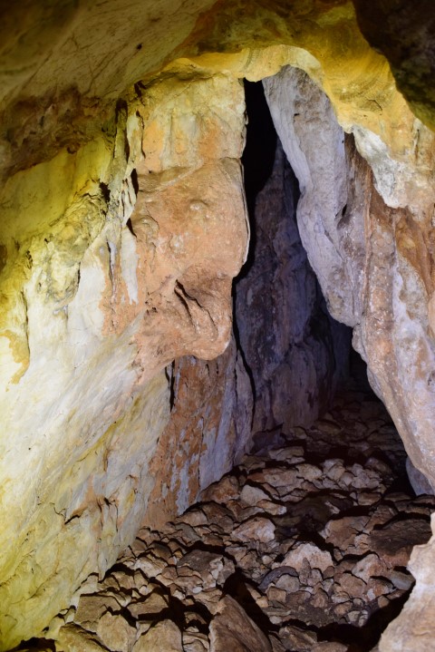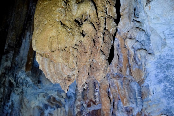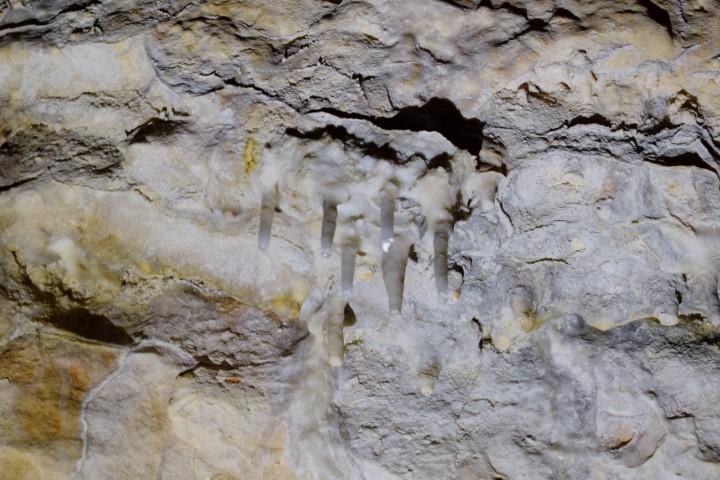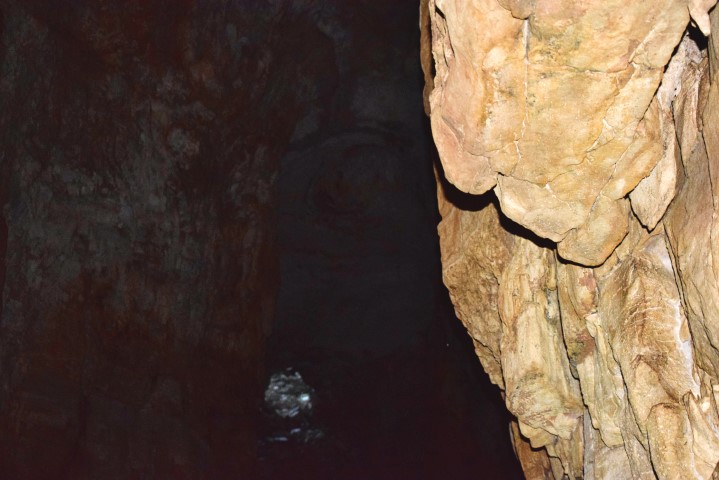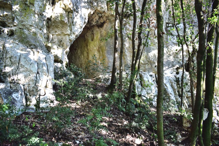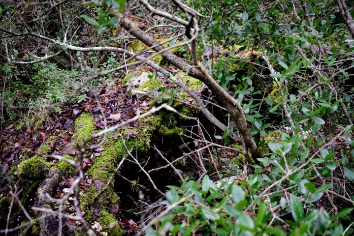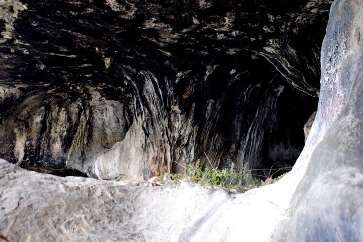

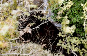
Name: Tribanjska jama.
Place: Triban – (Buje)
Coordinates: 45.4041 N – 13.68885 E.
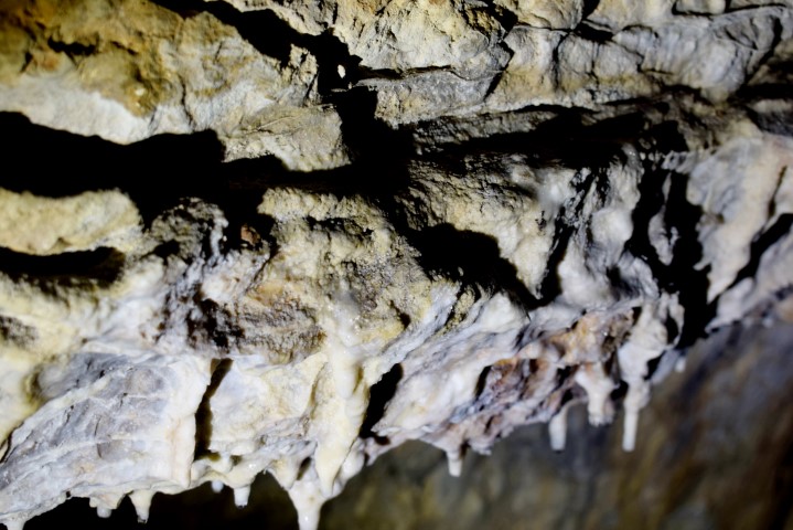
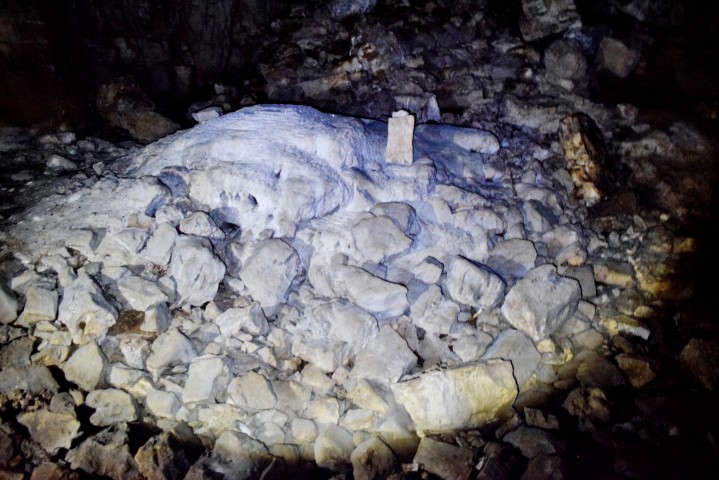
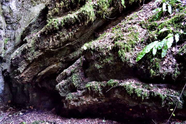
Name: Cave Rajine Rupe.
Place: Near Festini – (Zminj).
Coordinates: 45.10620 N – 13.94285 E.

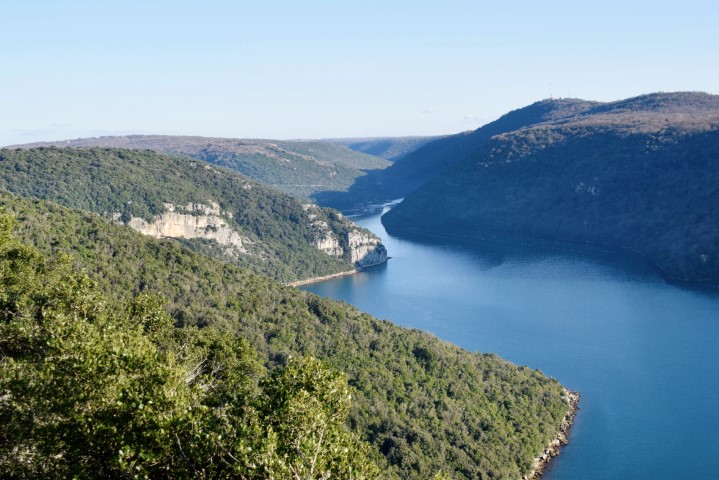
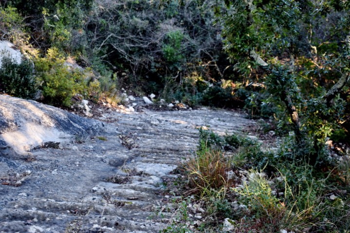
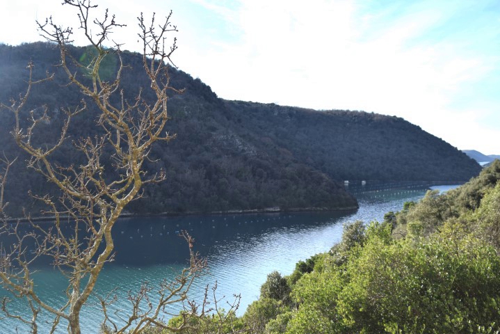
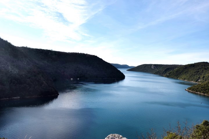
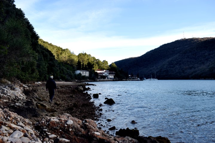
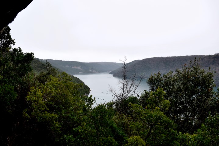
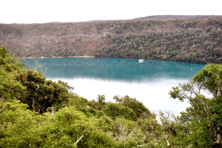
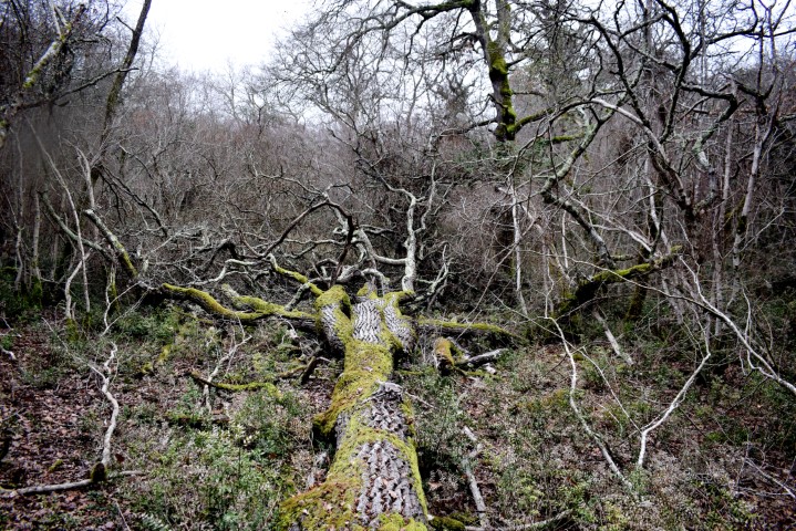
Name: H.t. from Sveti Mihovi to the Limski Kanal and to the Jankova cave and rocks Fratarske Škale.
PLace: Kloštar – (Vrsar).
Coordinates: Kloštar 45. 14055 N 13.70237 E, Limski kanal 45. 13787 N -13.70680 E, Rocks Fratarske Škale 45.13908 N -13.70626 E.

Name: Trongrla cave.
Place: Near Majkusi – (Tinjan).
Coordinates: Start: 45.23432 N – 13.77567 E, split 45.23477 N – 13.78089, Cave 45.23588 N – 13 7802 E.
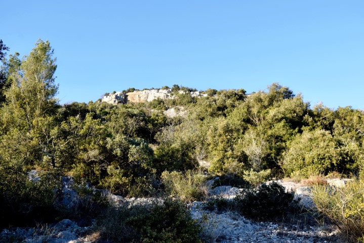
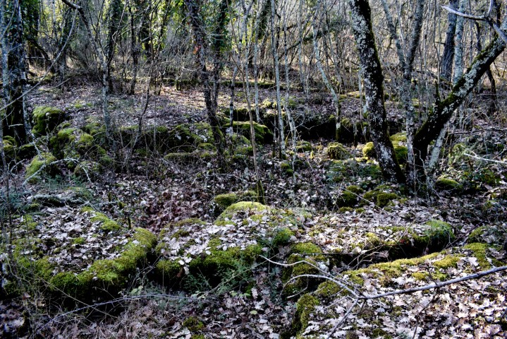
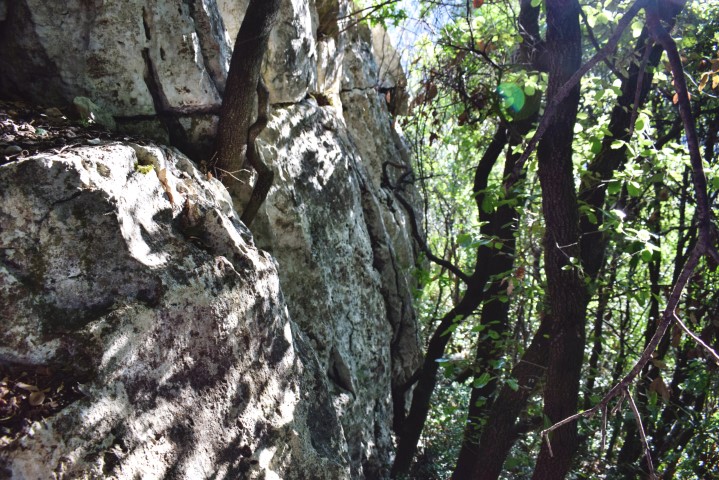
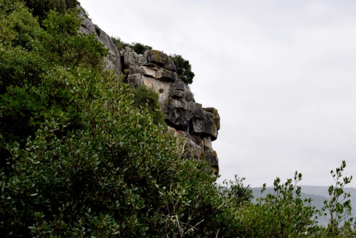
Name: Cave near the prehistoric hillfort Bumberić.
Place: Krunčići – Sv. Lovreč.
Coordinates: 45.13587 N – 13.73765 E.

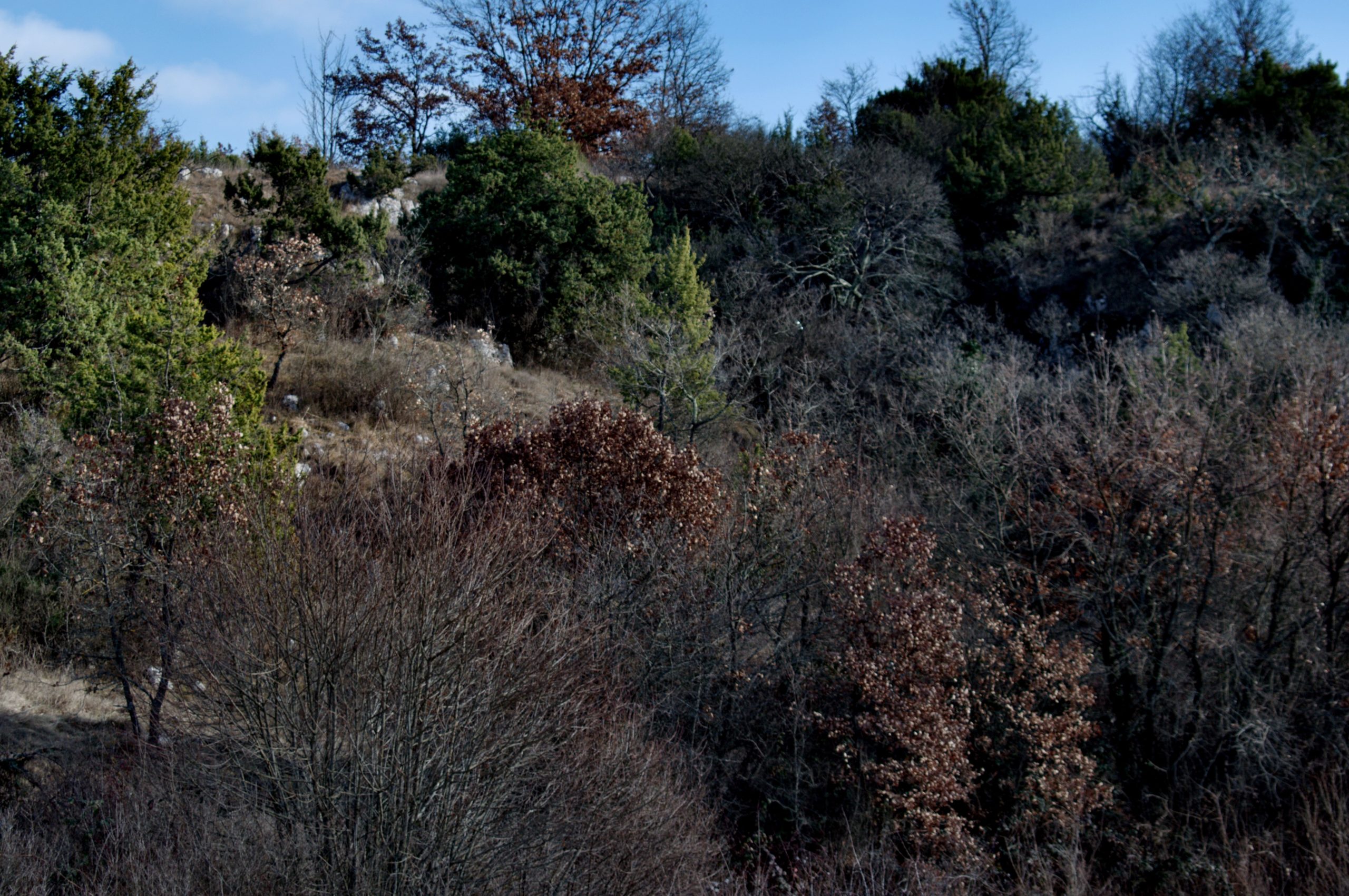
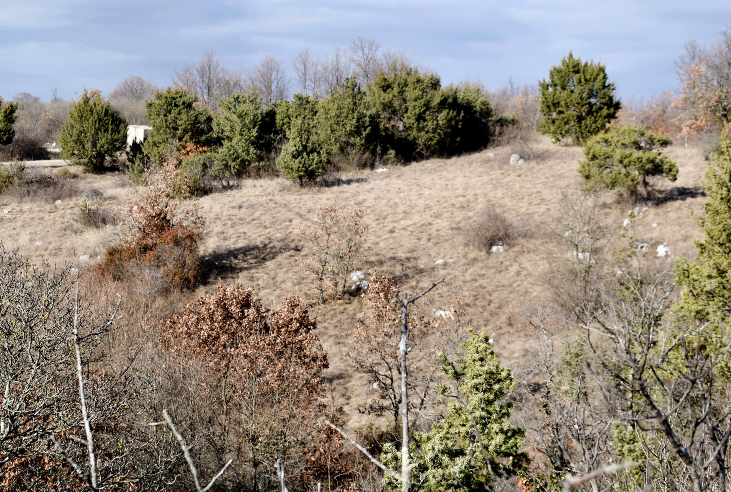
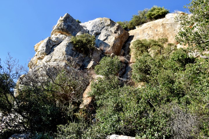
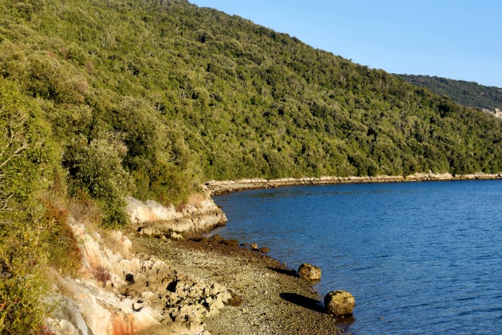
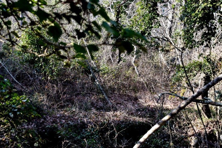
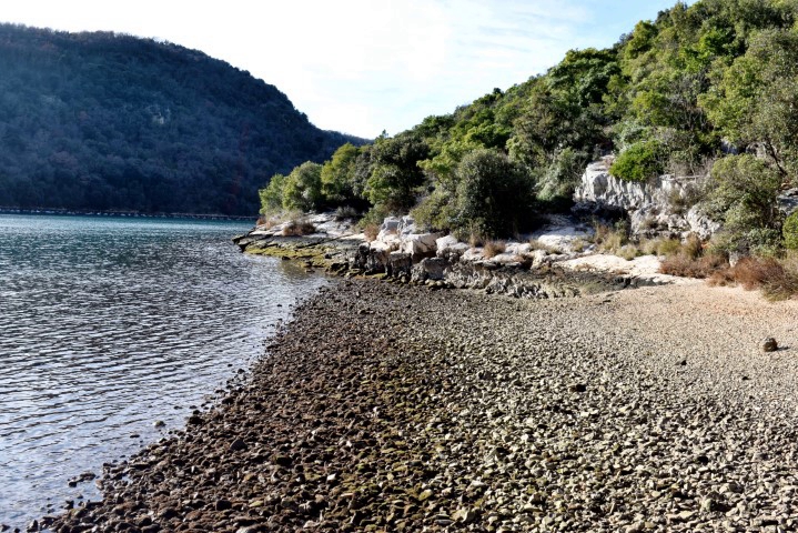
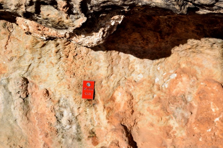
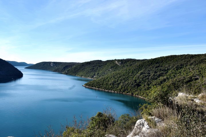
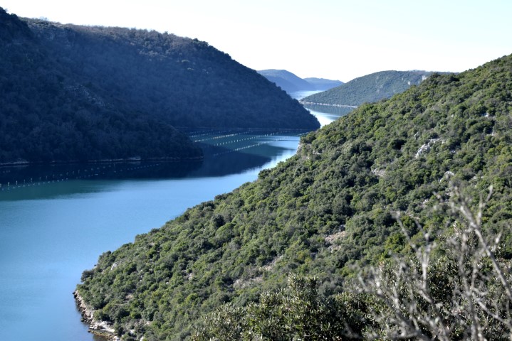
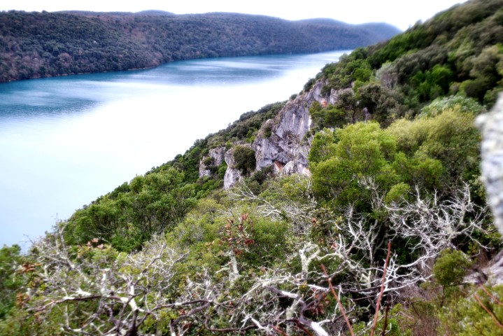
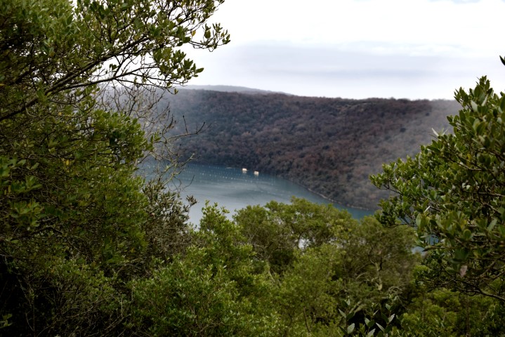
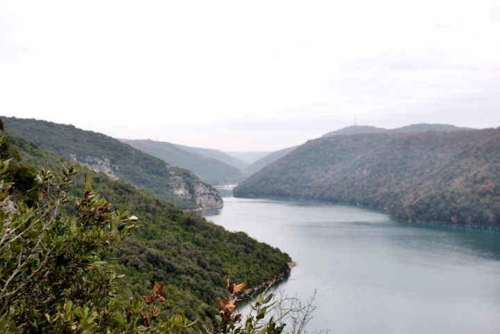
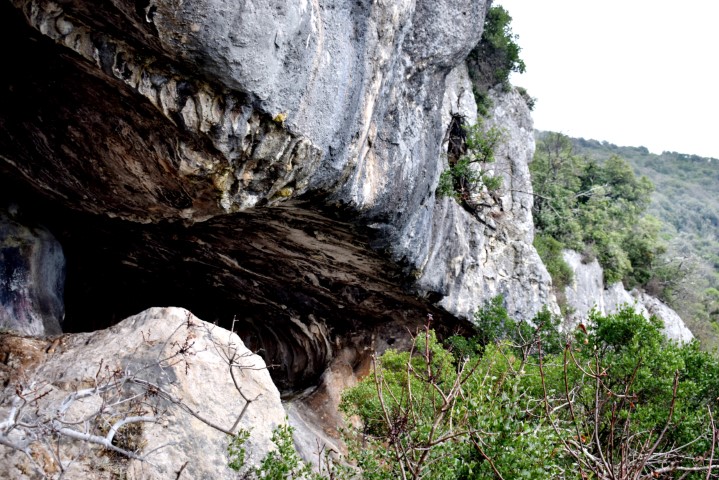
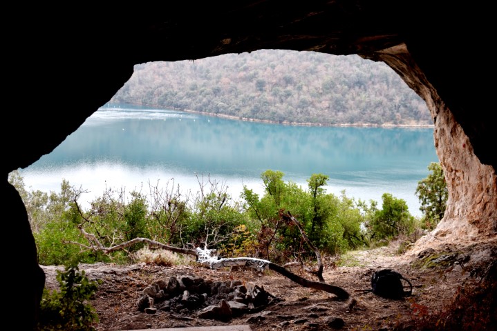
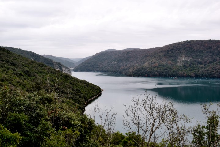
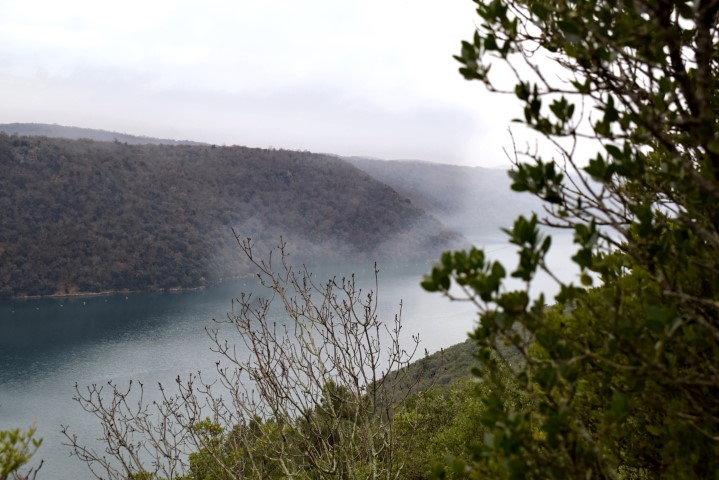
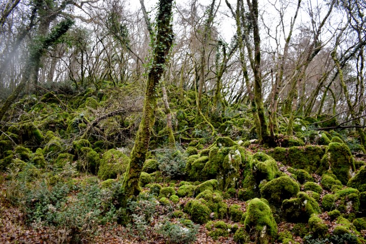
Name: Trail along the Limski canal with the hills Vrela and Kozarica and the cave SK HAD 548.
Place: Vrsar.
Coordinates: From 45.13400 N – 13.73159 E to 45.13632 N to 13.71968 E.
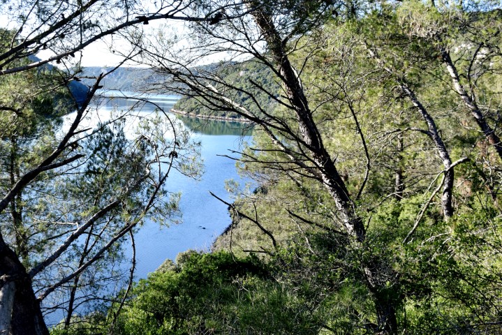
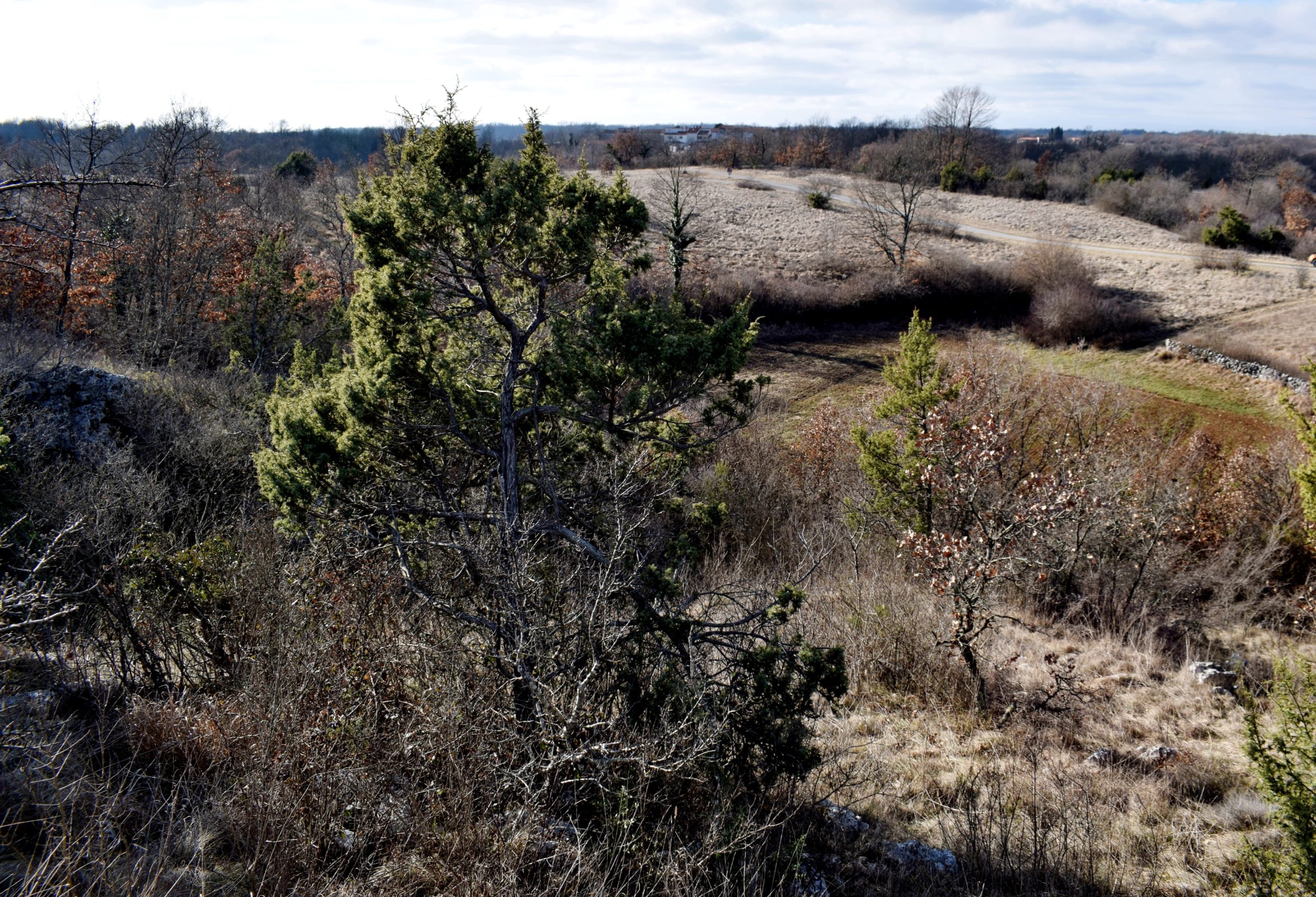
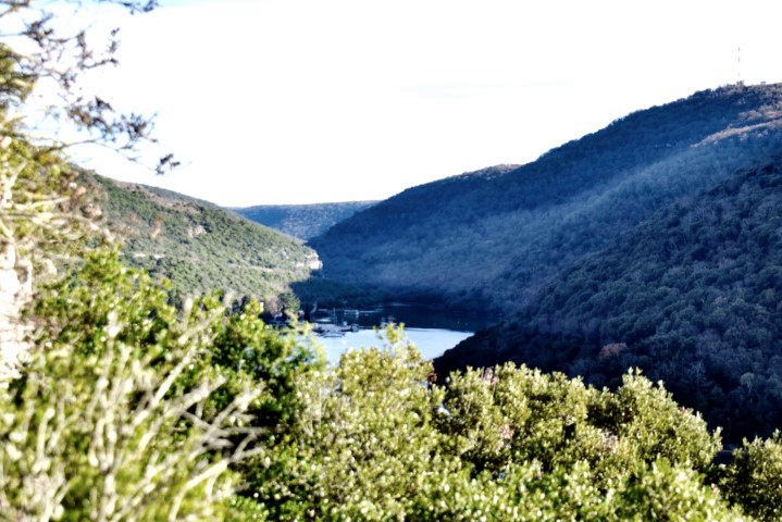
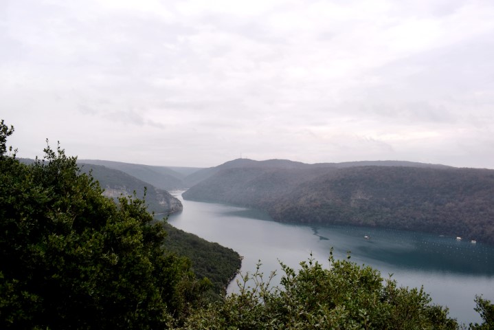
Name: Hiking trail from Lim Fjord Panorama point to Lim 001 and Limski canal.
Place: near Kloštar – (Vrsar).
Coordinates: From 45.13796 N – 13.72450 E to 45.13399 N – 13.13.73177 E.
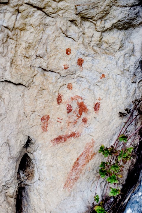
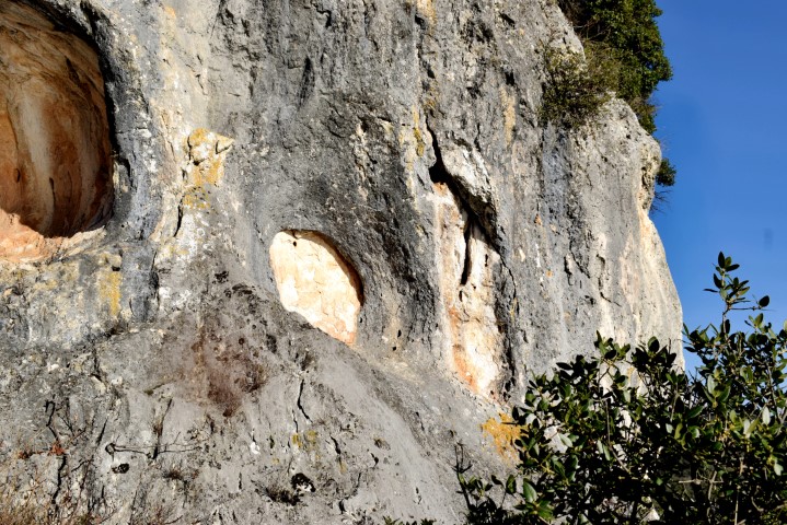
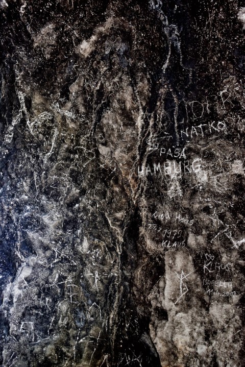
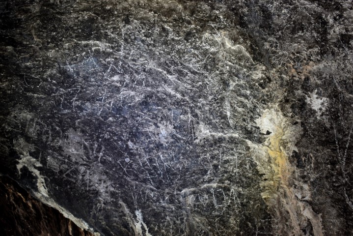
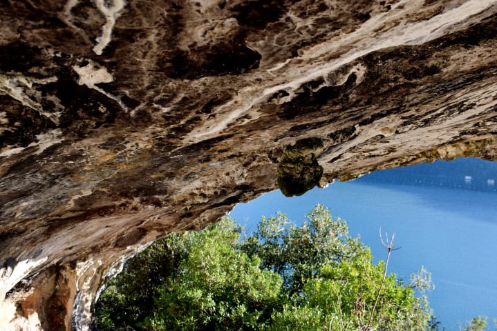
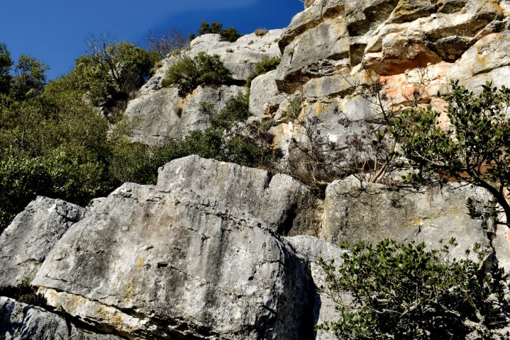
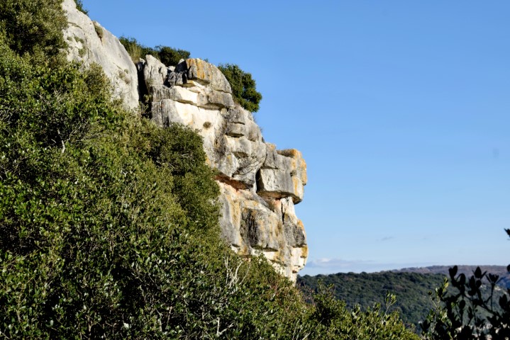
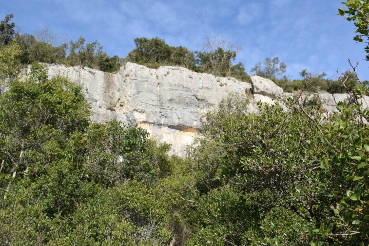
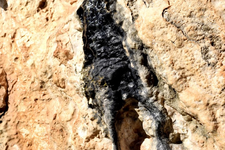
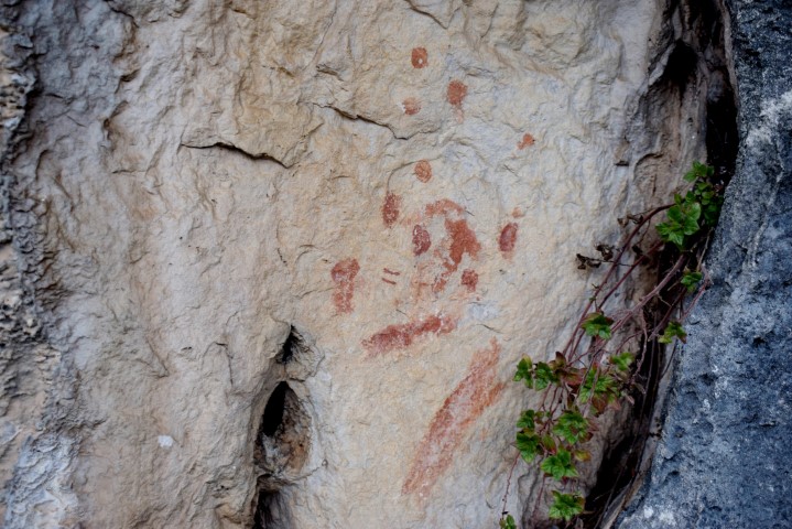
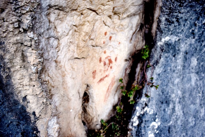
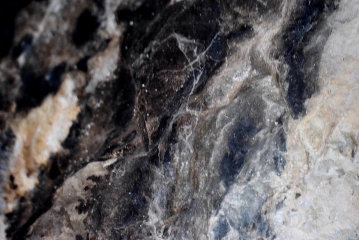
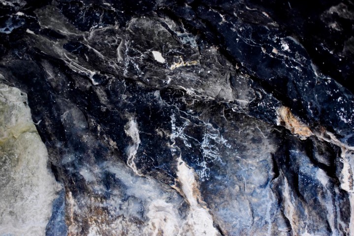
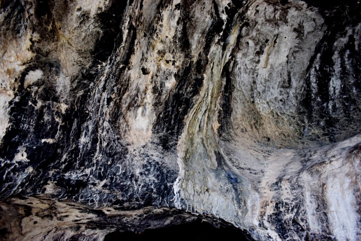
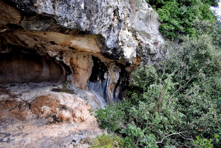
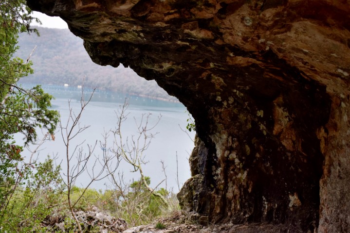
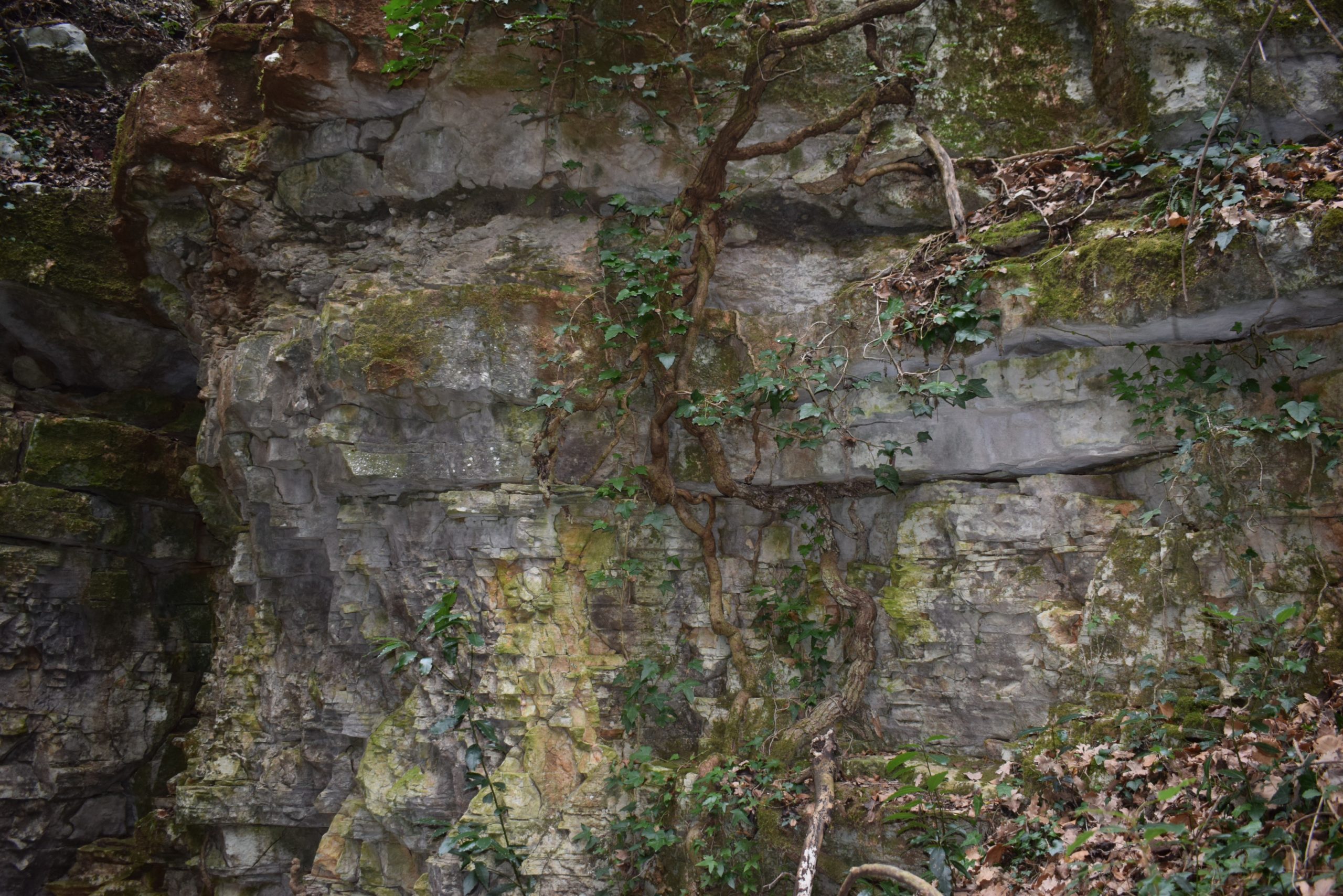
Name: Sloops Limski Canal with Jankova cave – Rock Art on the cliff Mala Šimija.
Place: Near Kloštar – (Vrsar).
Coordinates: Start path Mala Šimija 45.13569 N – 13.68743 E, Art 45.4513594 N – 13.68914 E.
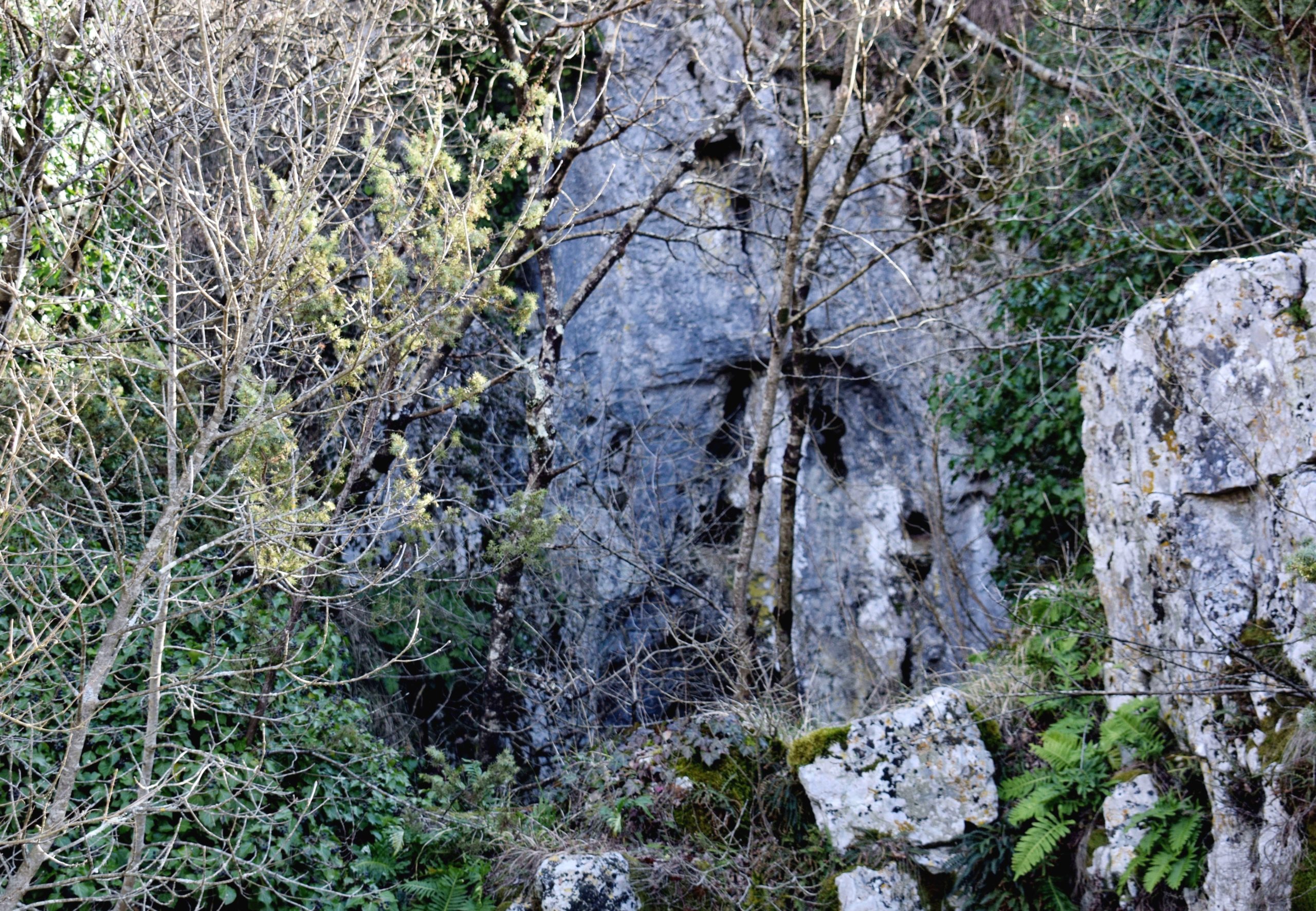
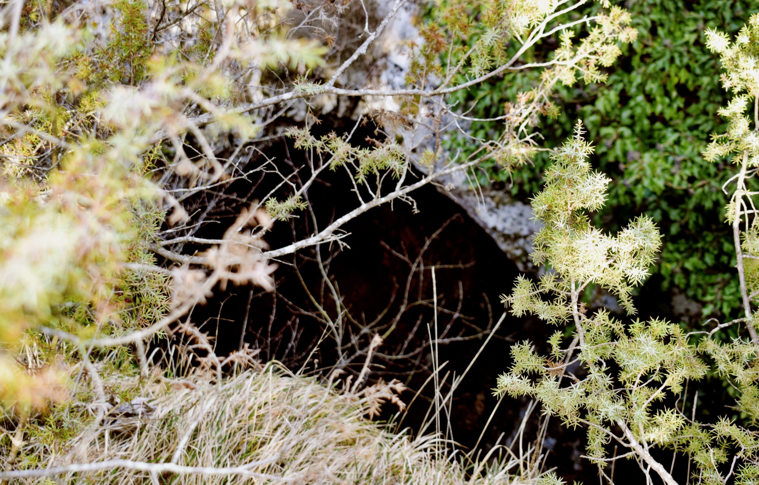
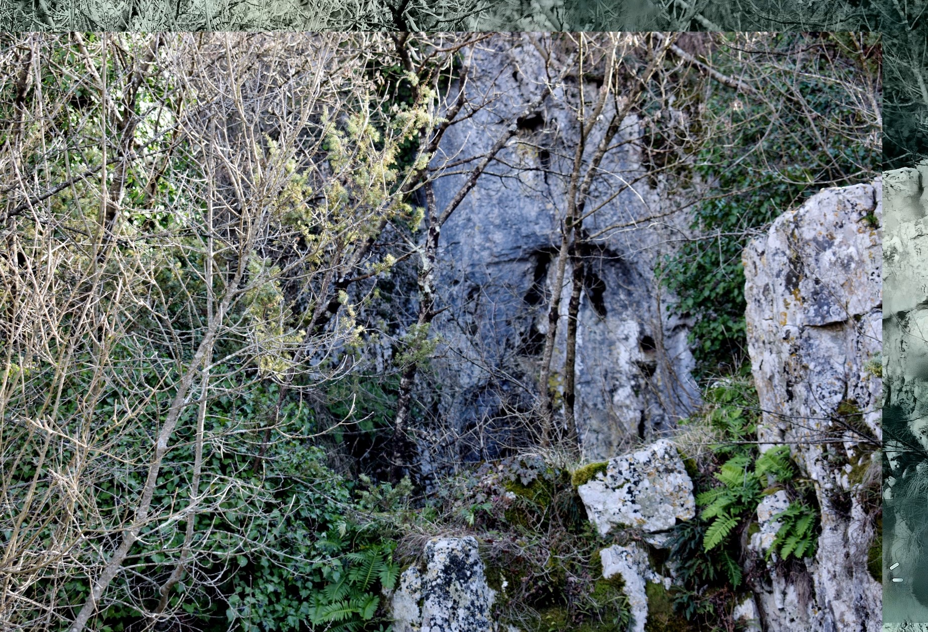
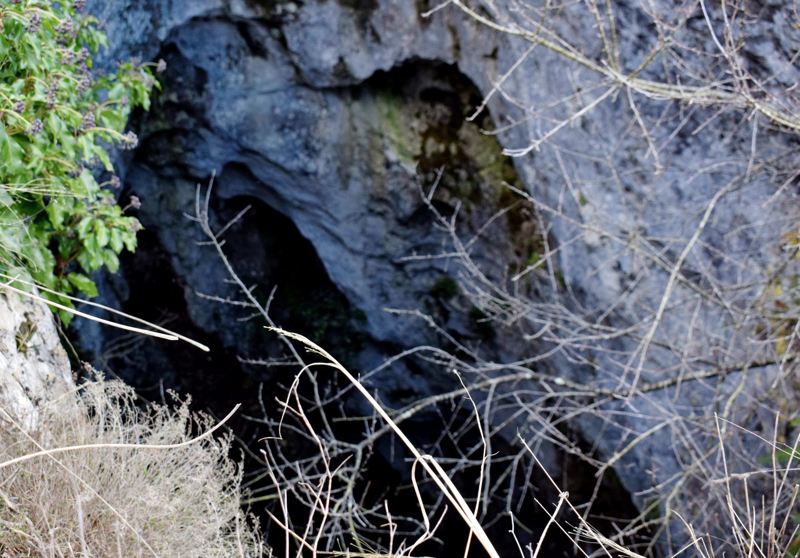
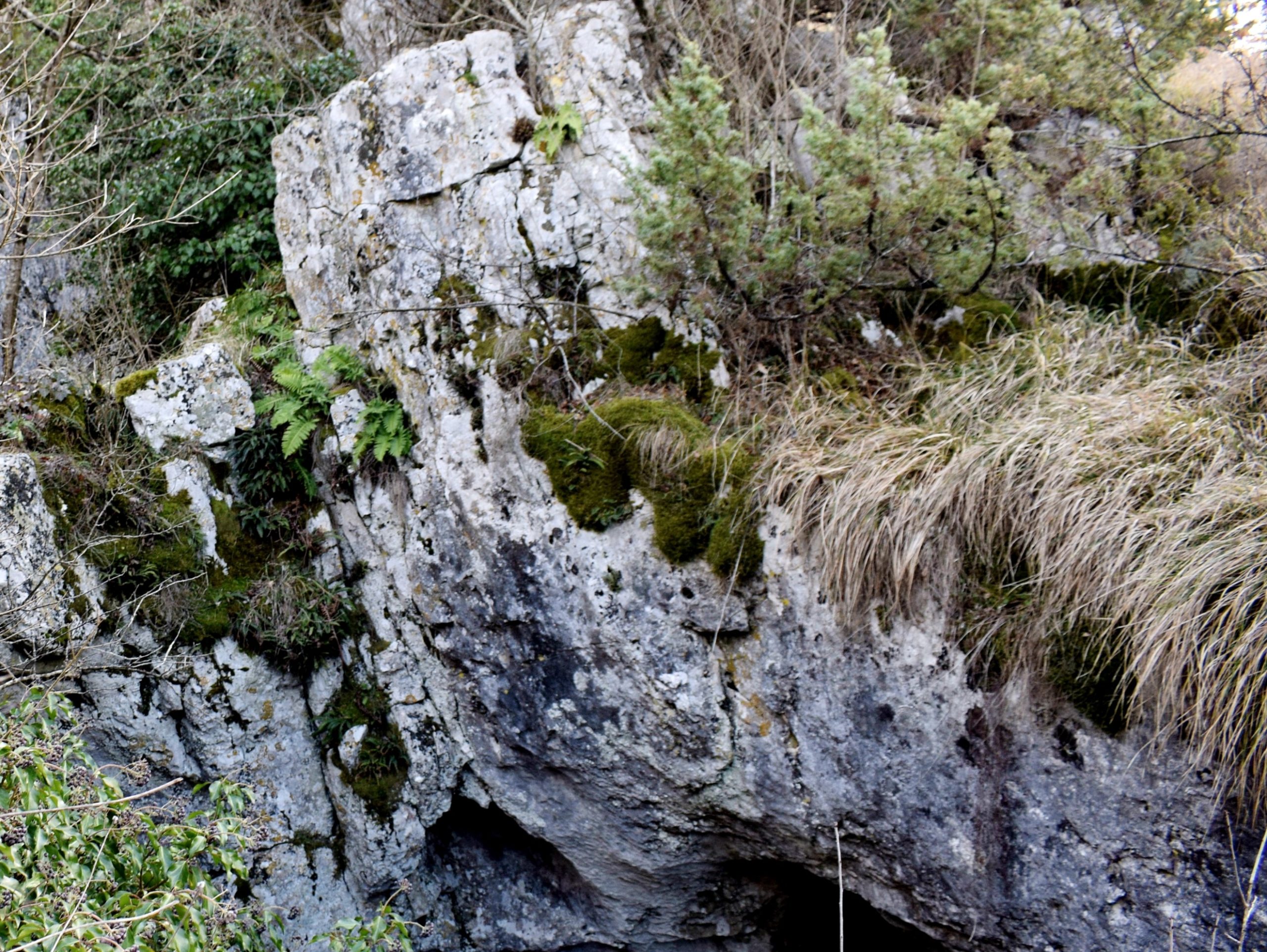
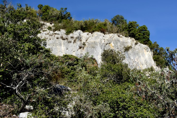
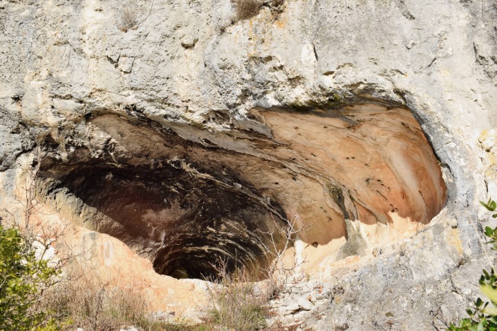
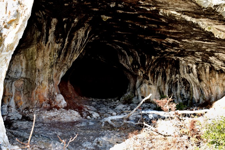
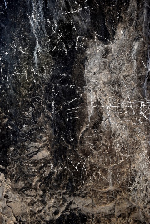
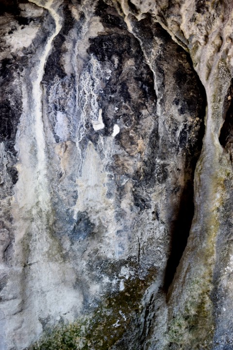
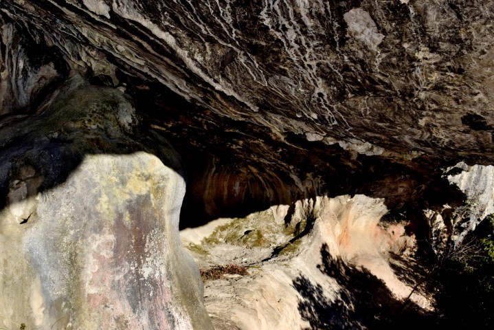
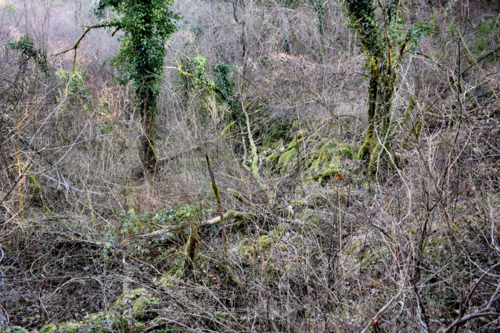
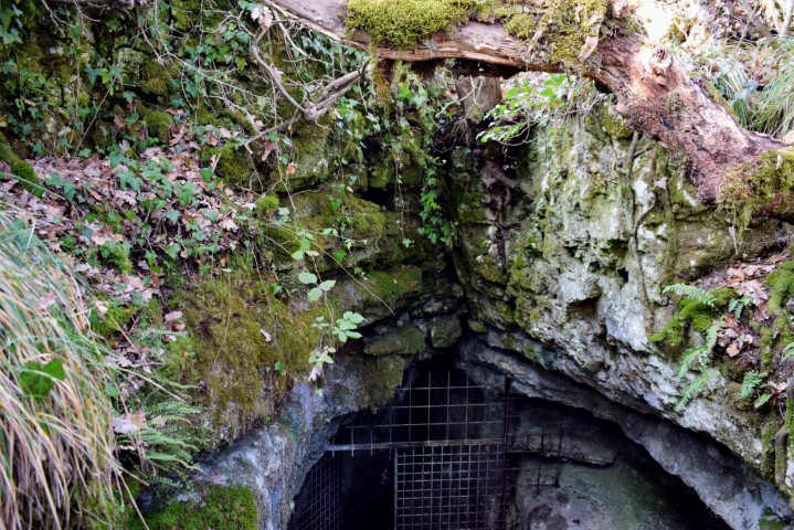
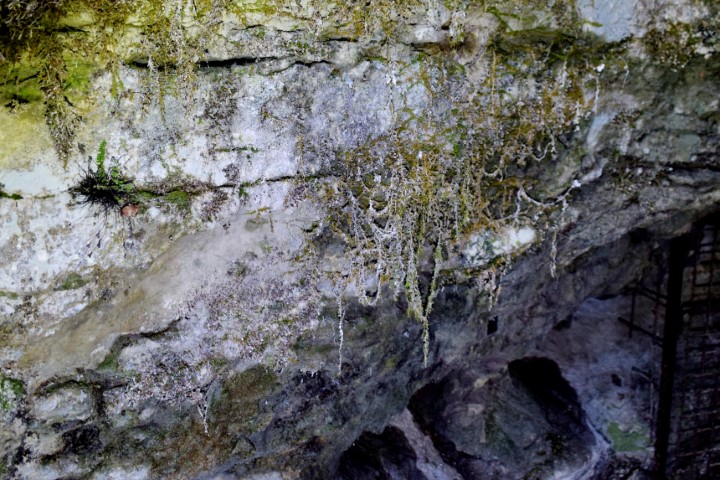
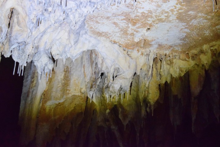
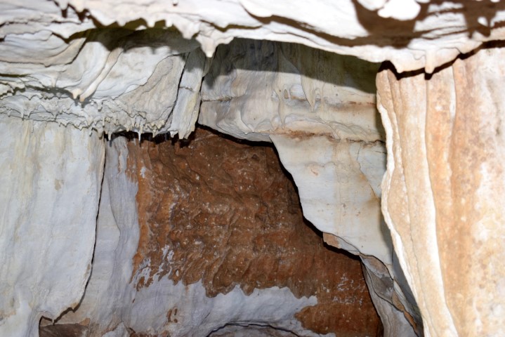
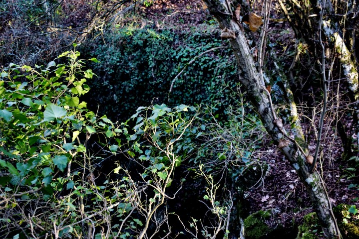
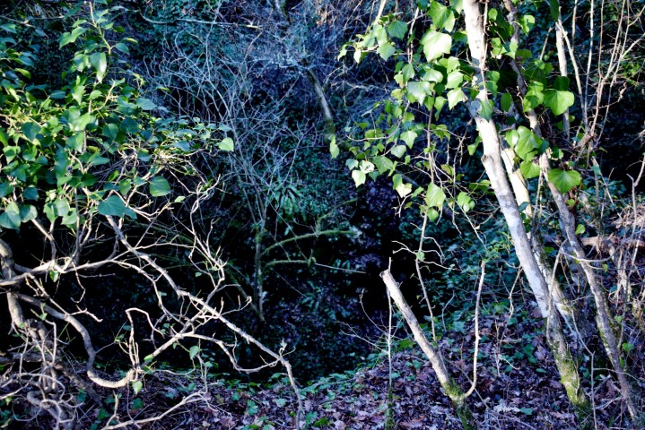
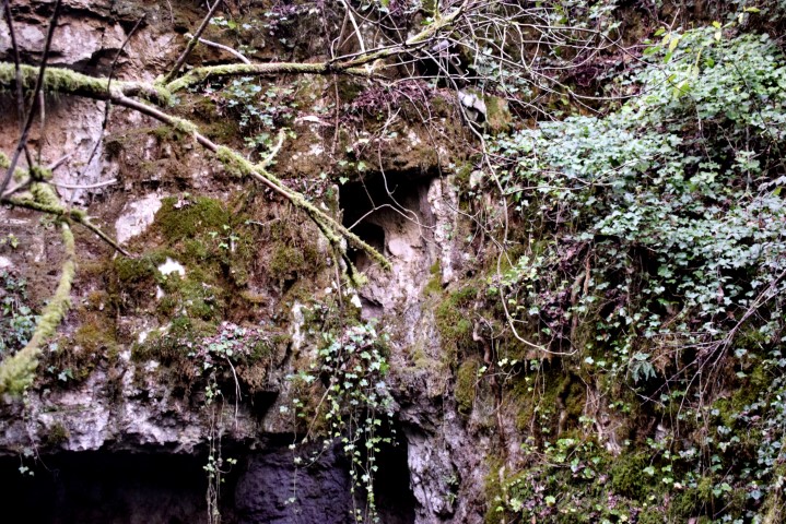
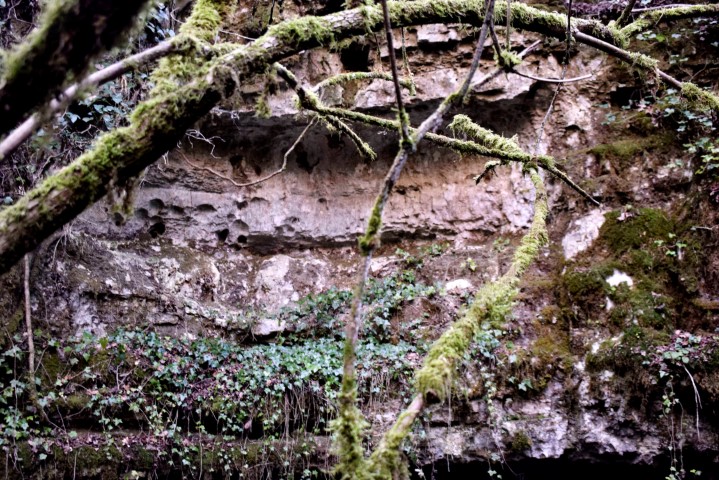
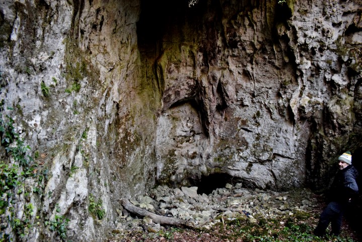
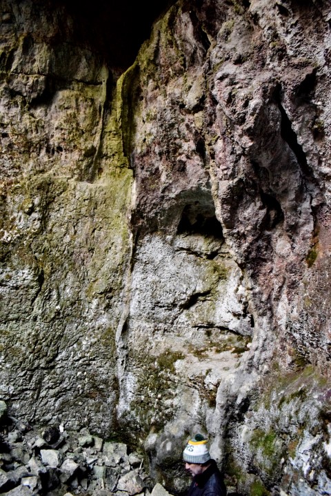
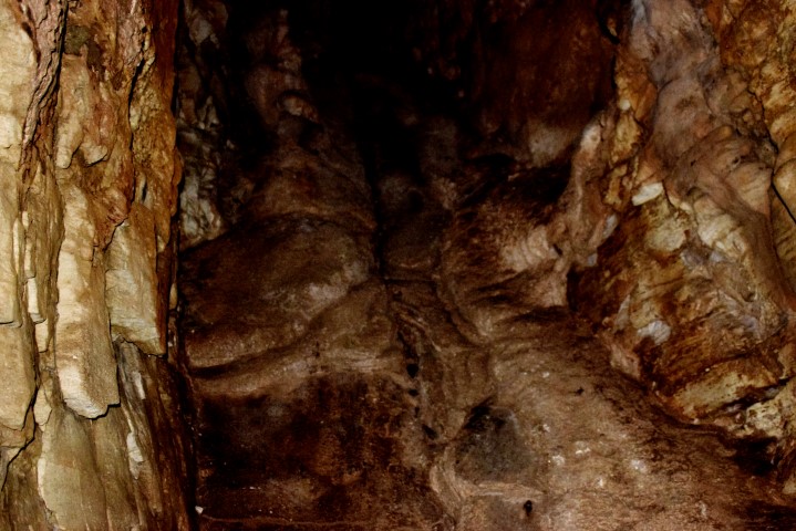
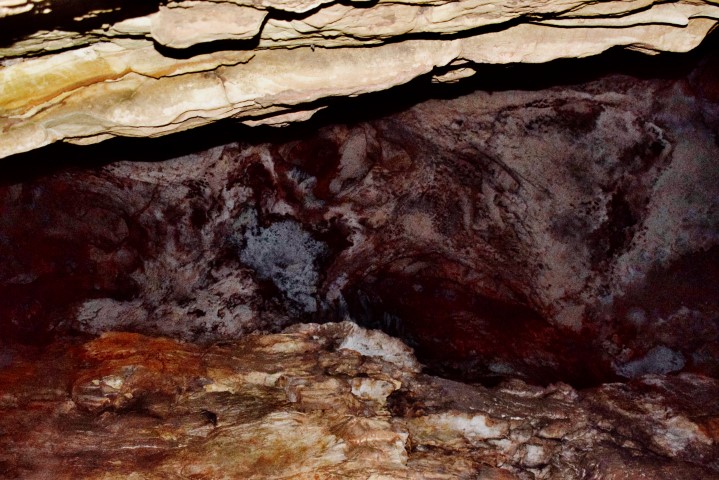
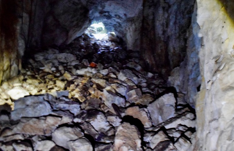
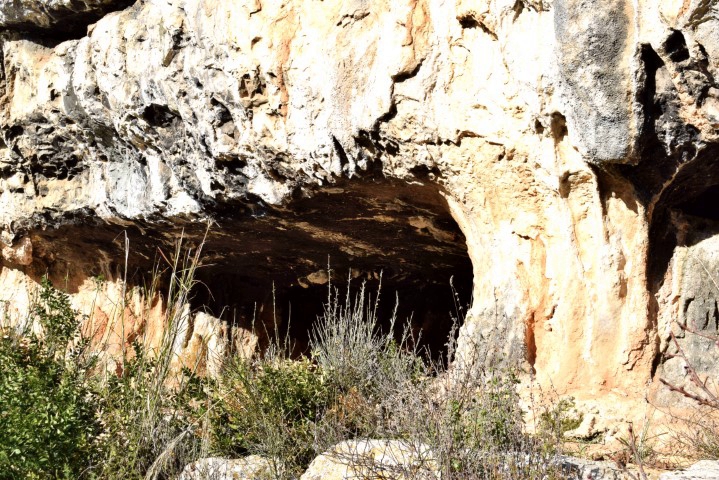
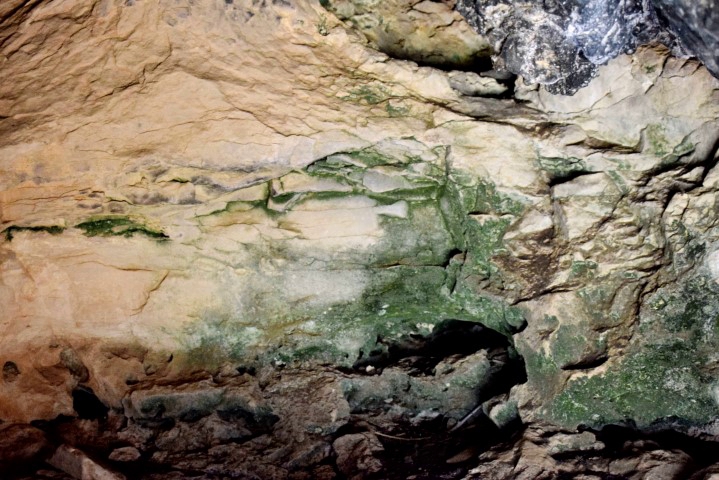
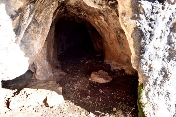
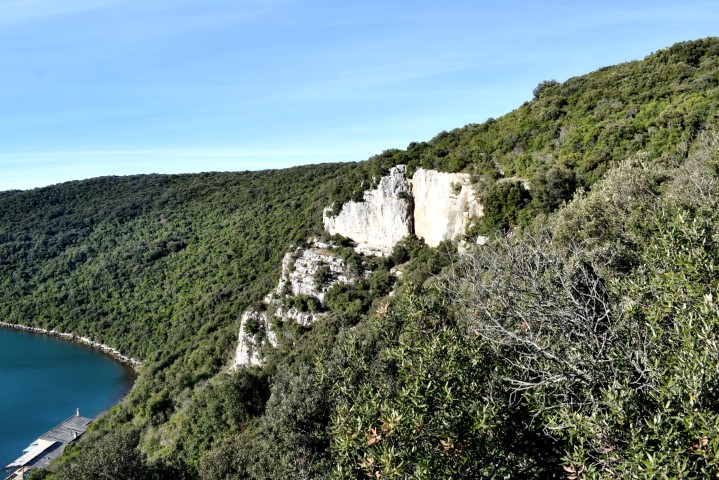
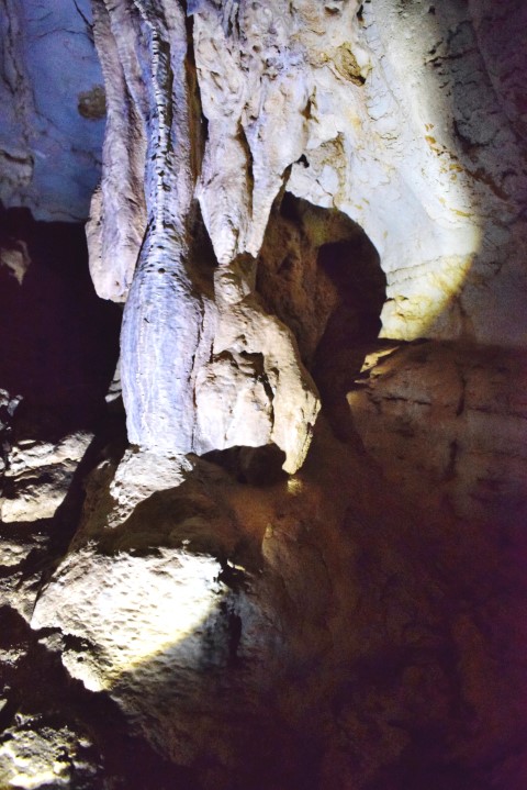
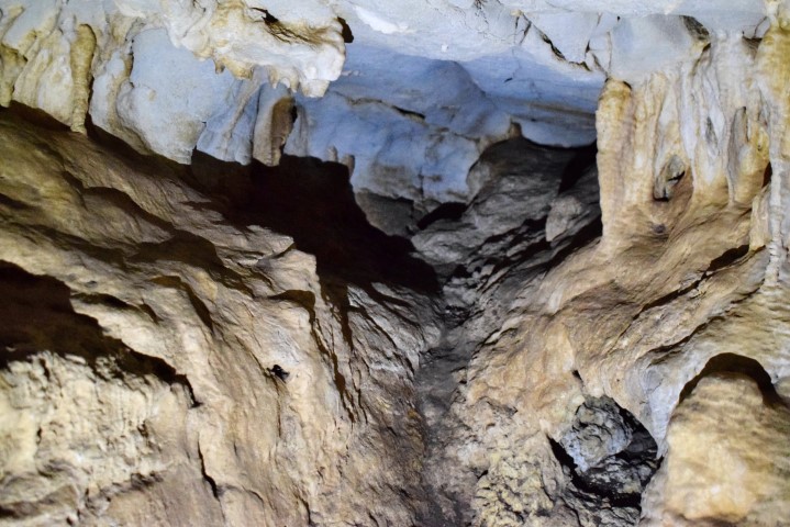
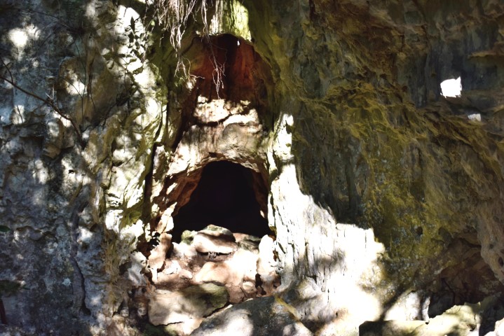
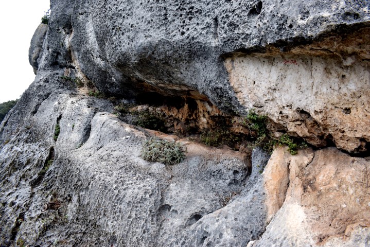
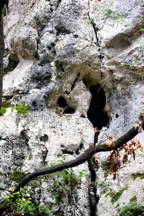
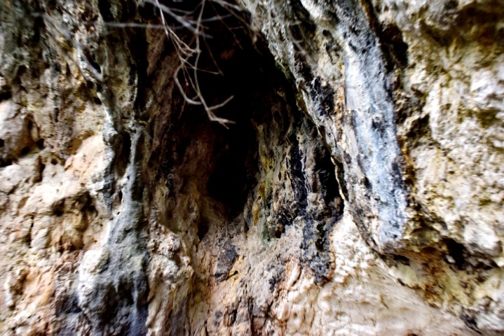
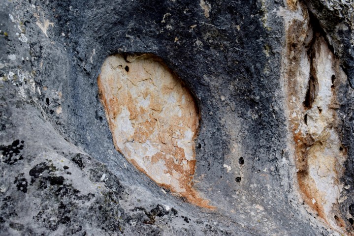
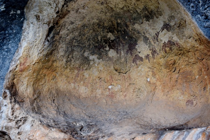
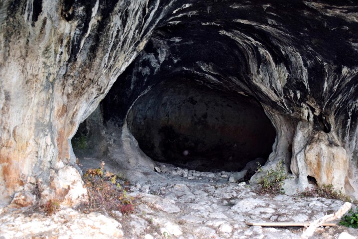
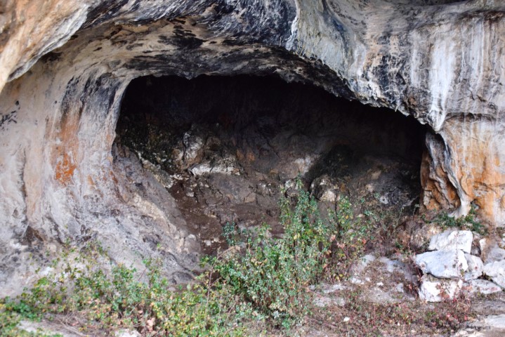
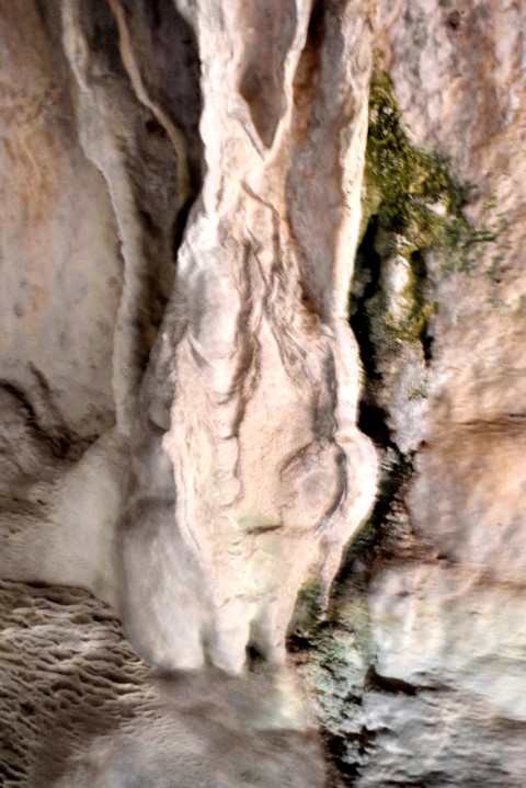
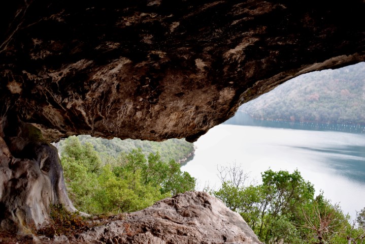
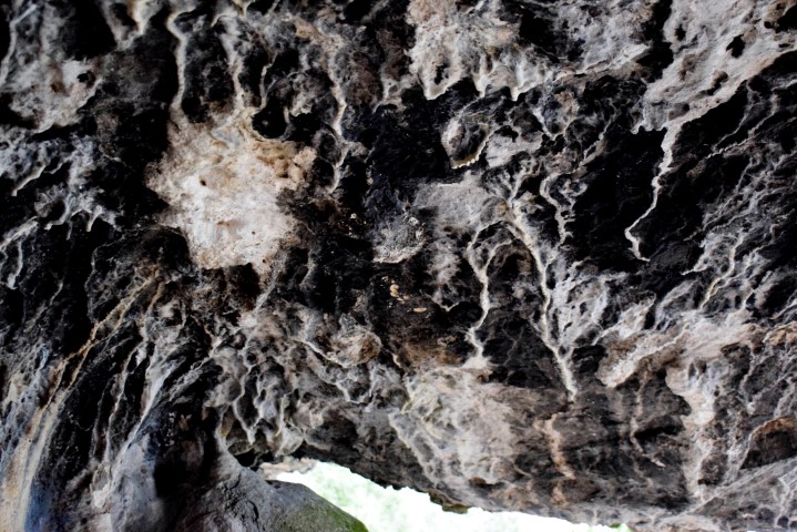
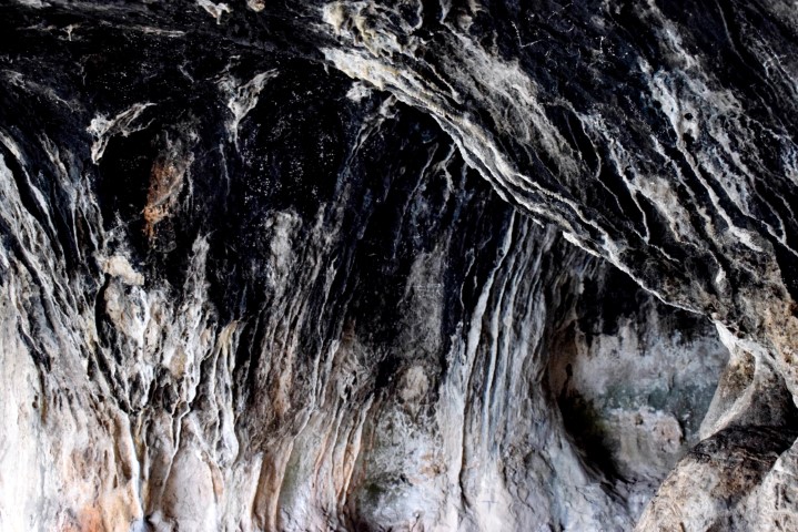
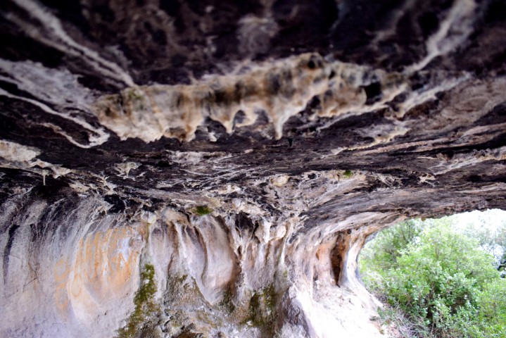
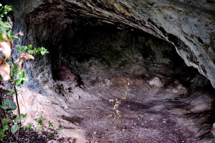
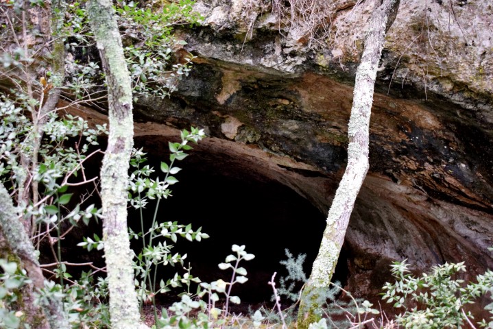
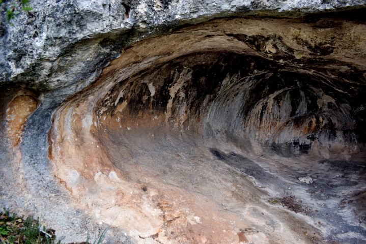
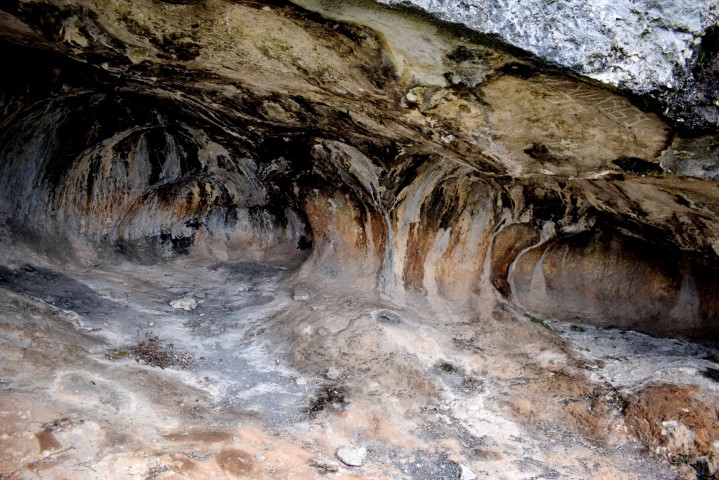
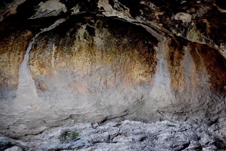
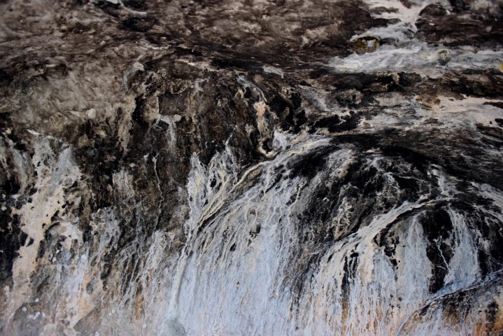
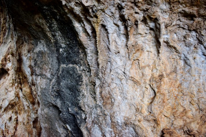
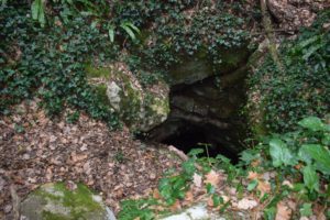
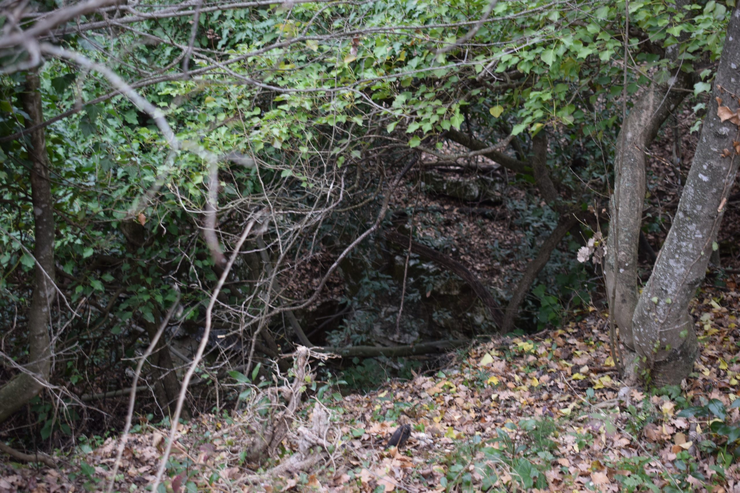
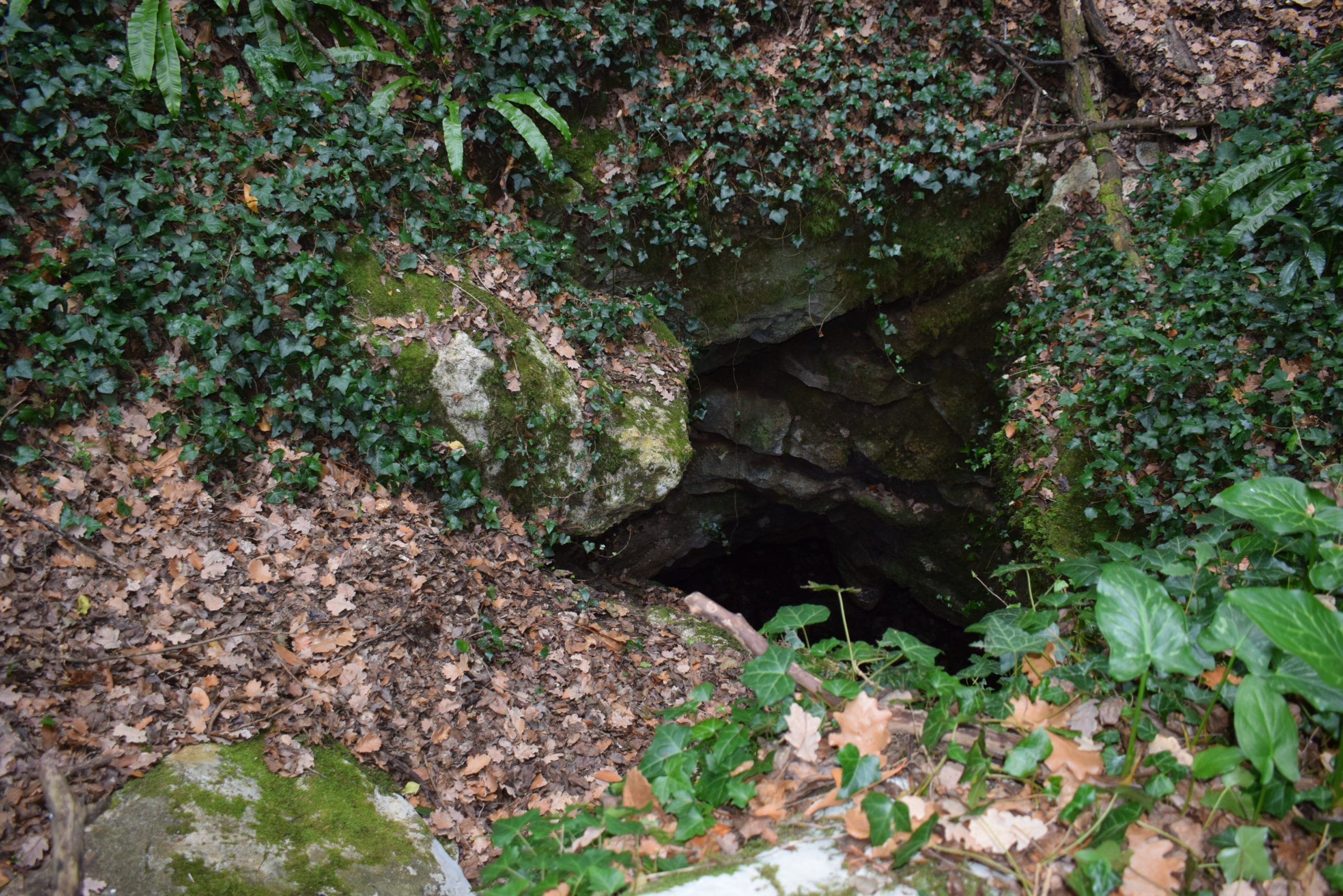
Name: Jankova cave near Fratarske skale – Limski Kanal.
Place: Near Kloštar – (Vrsar).
Coordinates: Start trail 45.14059 N – 13.70231 E, leave the path 45.1387 N – 13.70382 E, Jankova cave: 45.13876 N -13.70659 E.
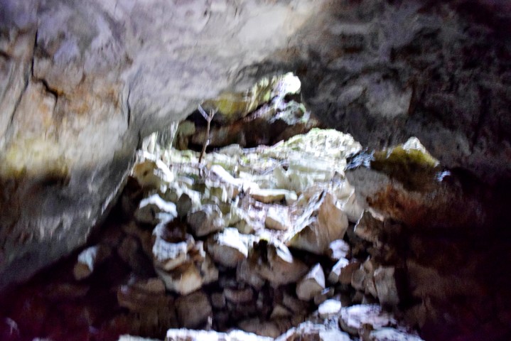
Name: Hiking trail to the pit cave Klaričeva on the hill Milosevica.
Place: Flengi – (Vrsar).
Coordinates: Start 45.16173 N – 13.67244 E, Pit cave 45.15032 N – 13.67366 E, End 45.16132 N – 13.67706 E.