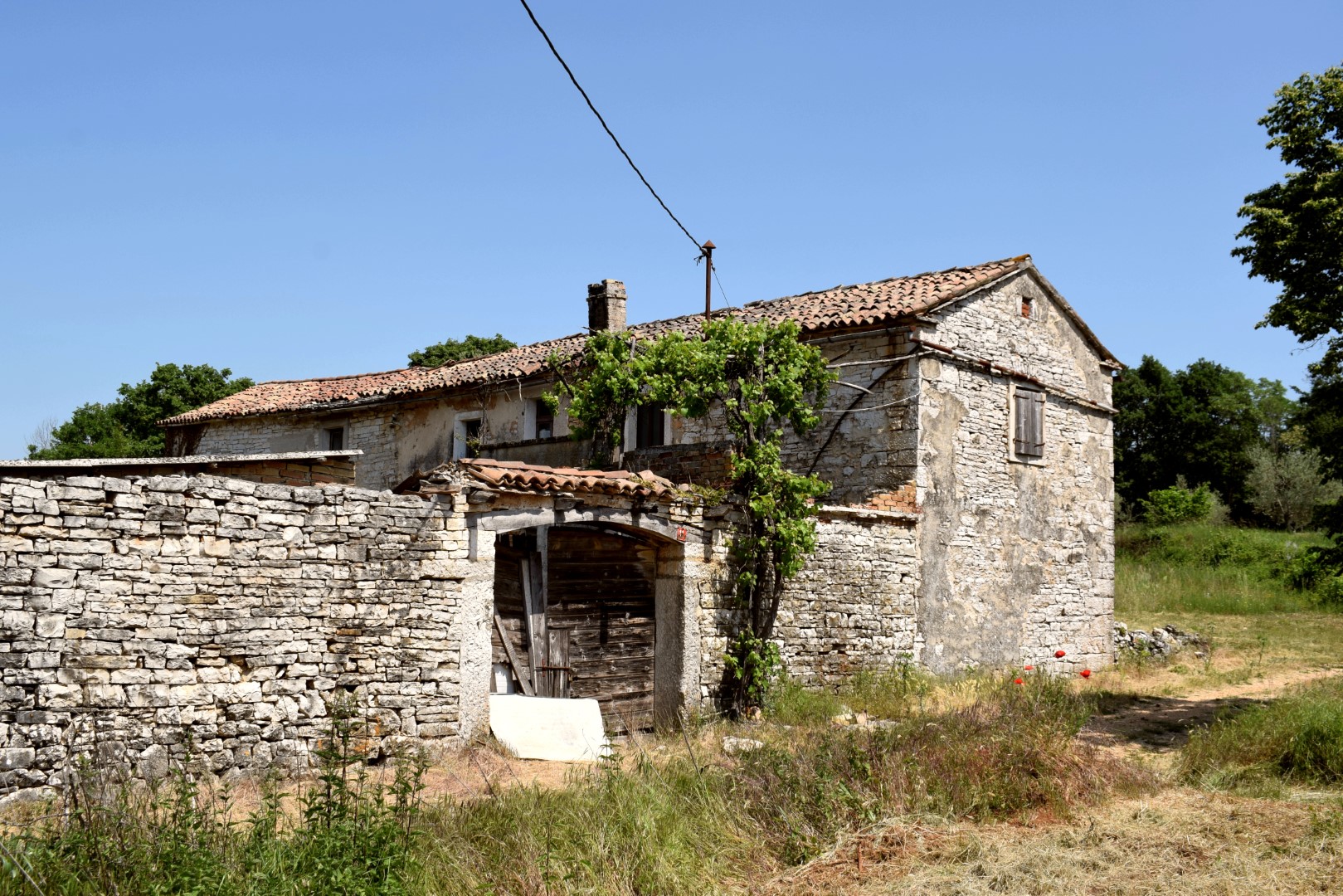


Name: Hiking trail from Podgaće via Bašanov Dvor to the Bliznica 163 cave.
Place: Podgaće – (lanišće).
Coordinates: Start Podgače 45. 4o929 N – 14.10526 E, Bašanov Dvor 45.40845 N – 14.08568, Bliznica cave 163 45.40382 N- 14.07581 E.
Name: Hiking trail from Podgaće via Bašanov Dvor to the Bliznica 163 cave.
Place: Podgaće – (lanišće).
Coordinates: Start Podgače 45. 4o929 N – 14.10526 E, Bašanov Dvor 45.40845 N – 14.08568, Bliznica cave 163 45.40382 N- 14.07581 E.
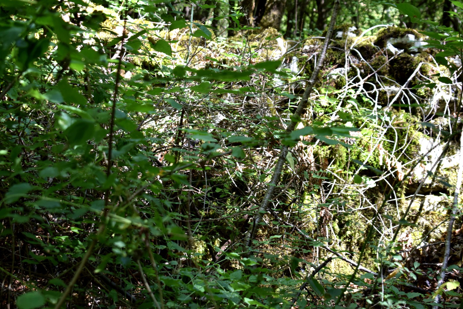
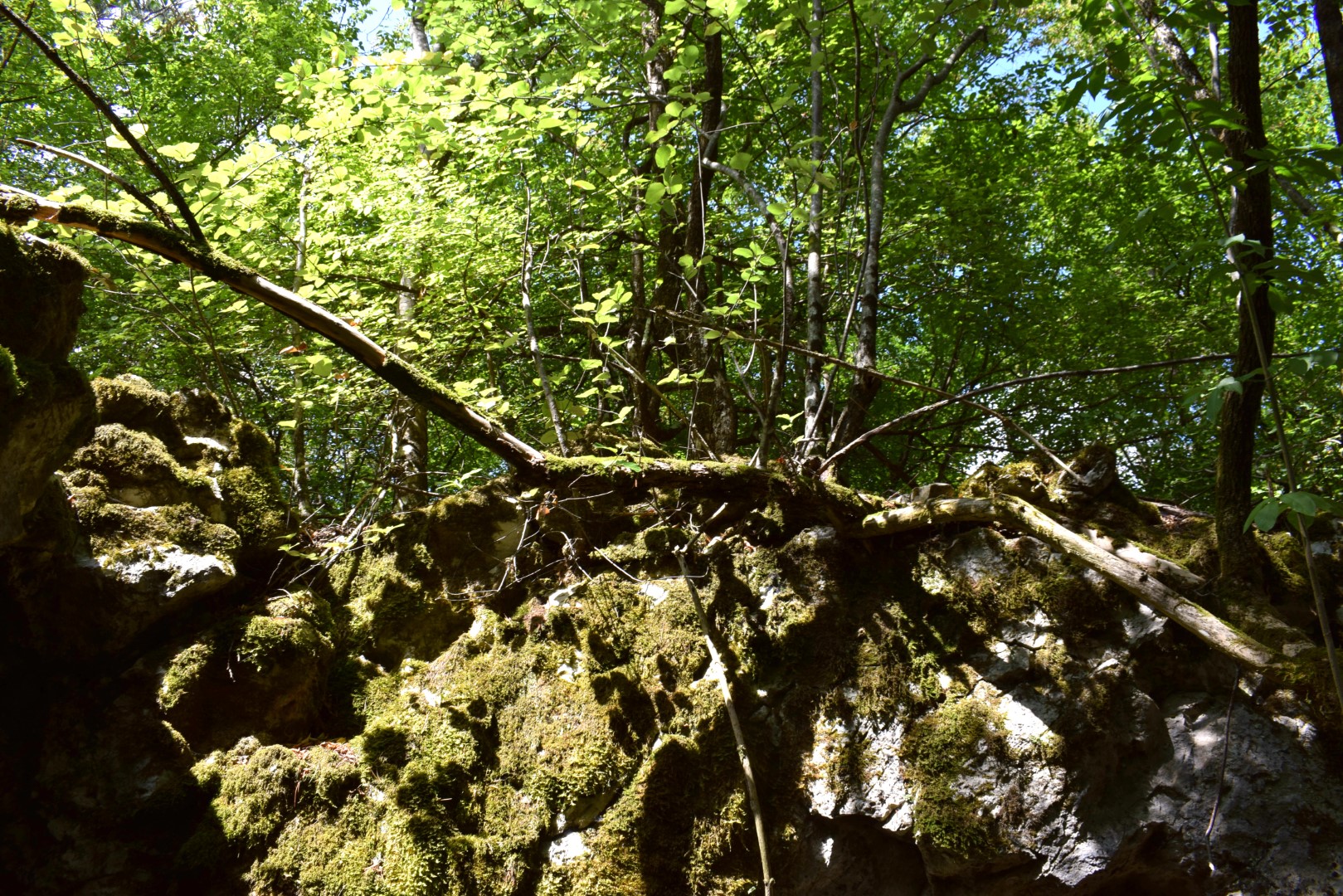
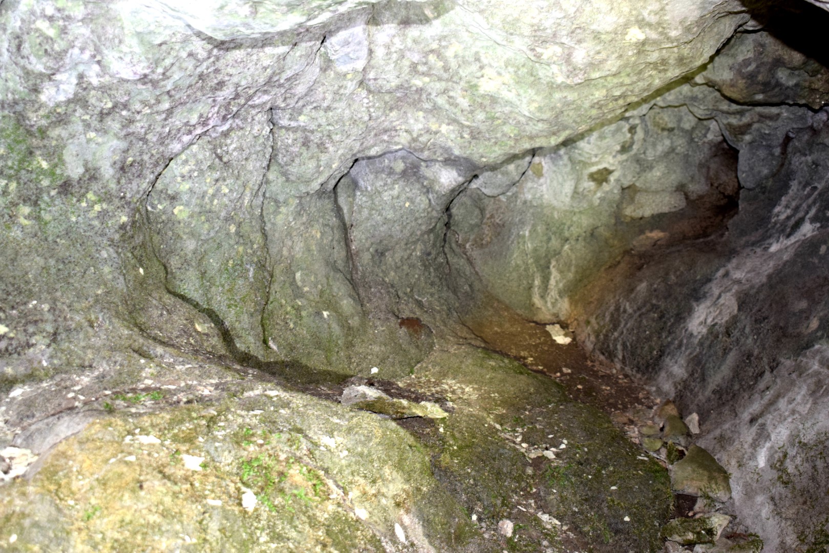
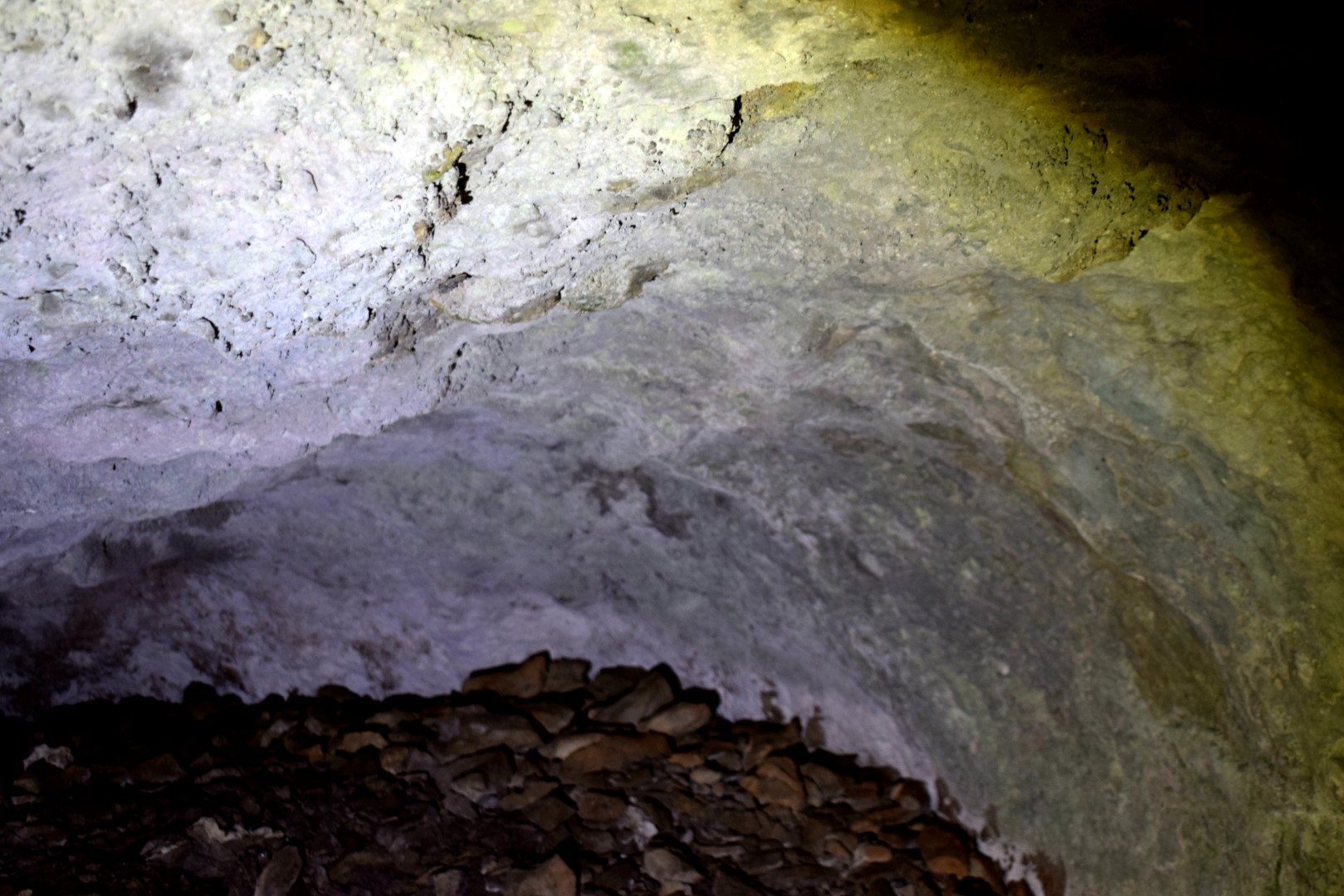
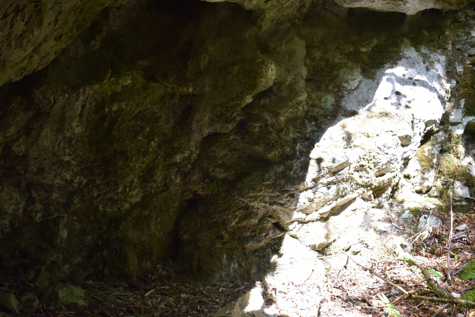
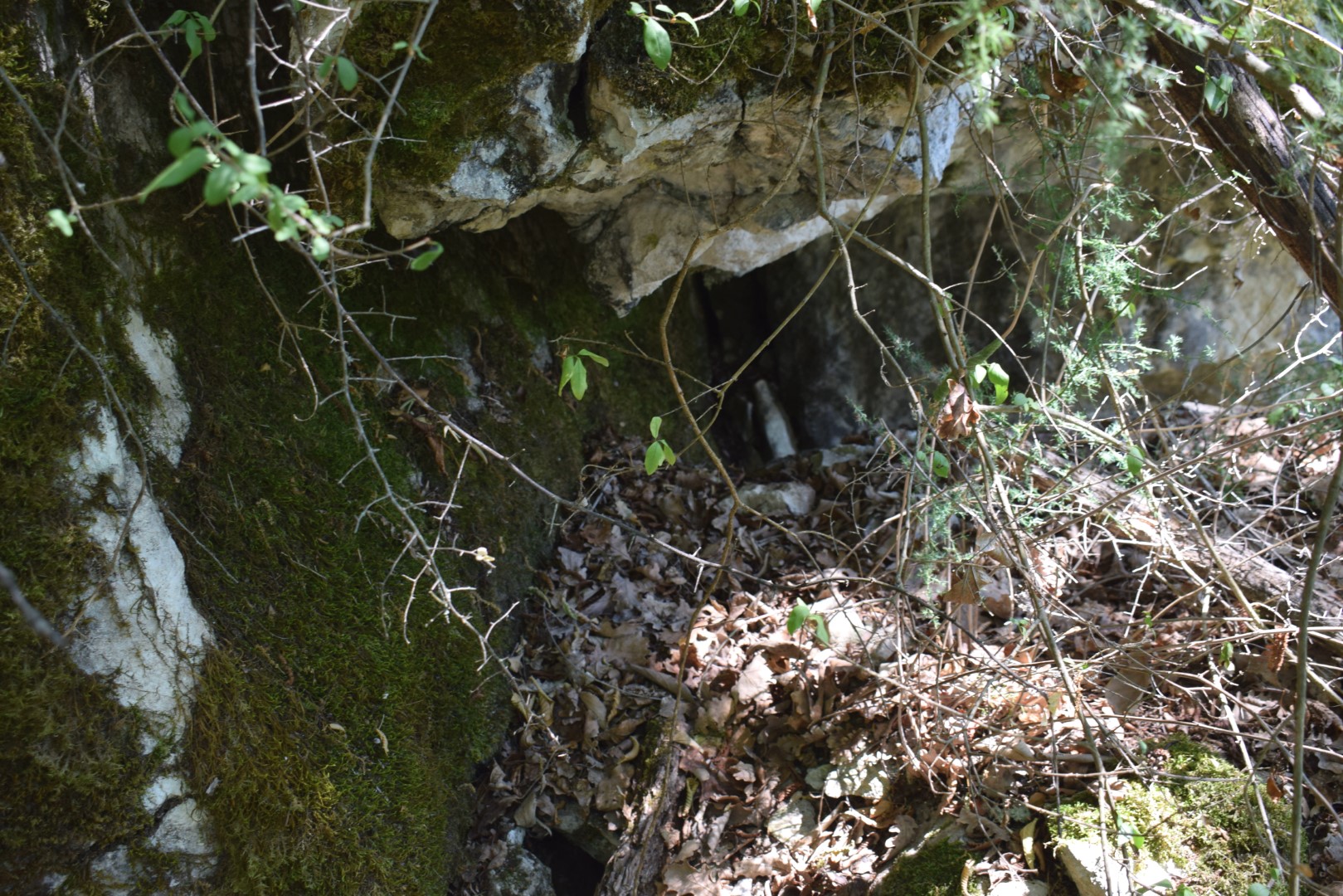
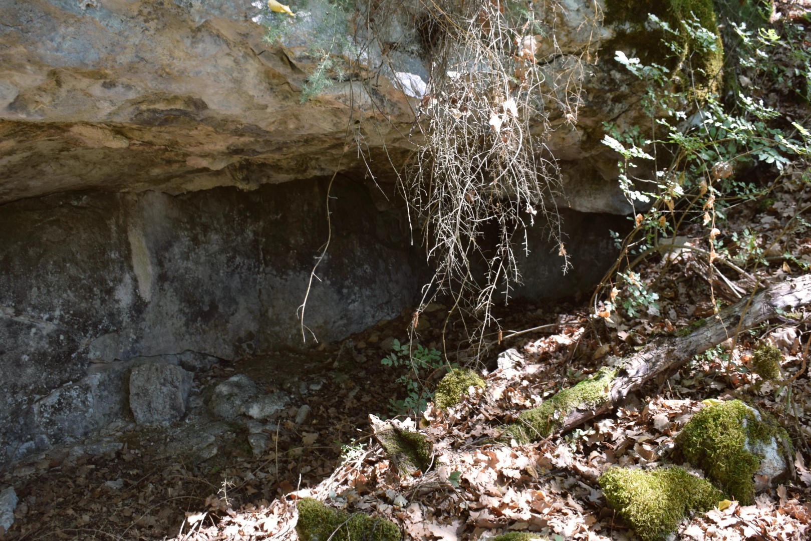
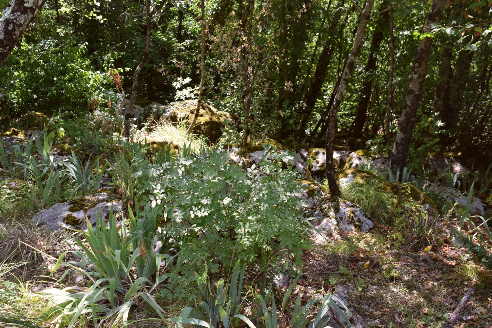
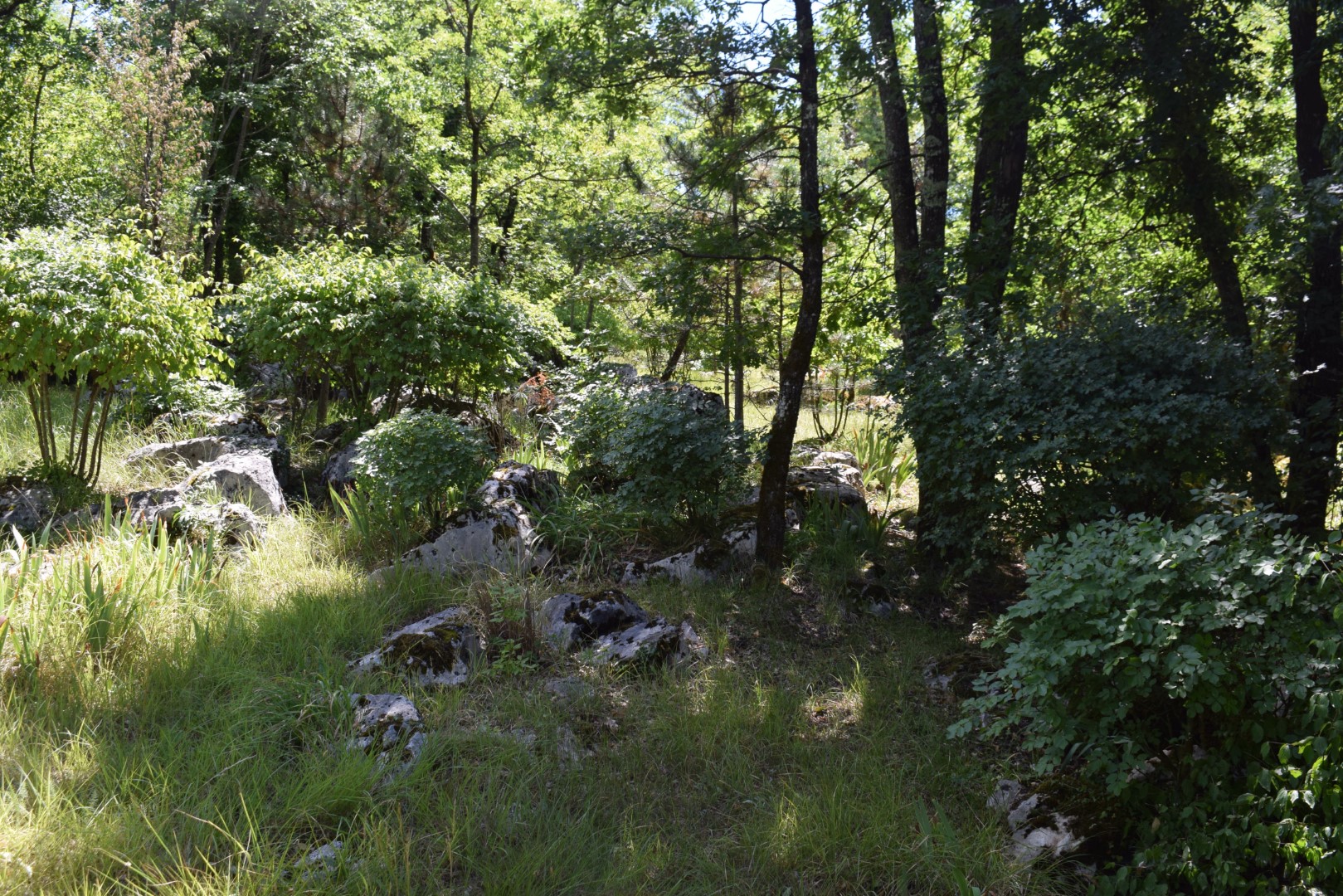
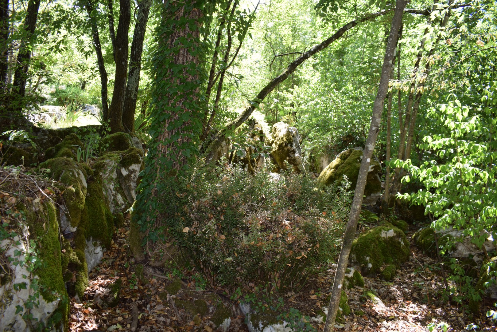
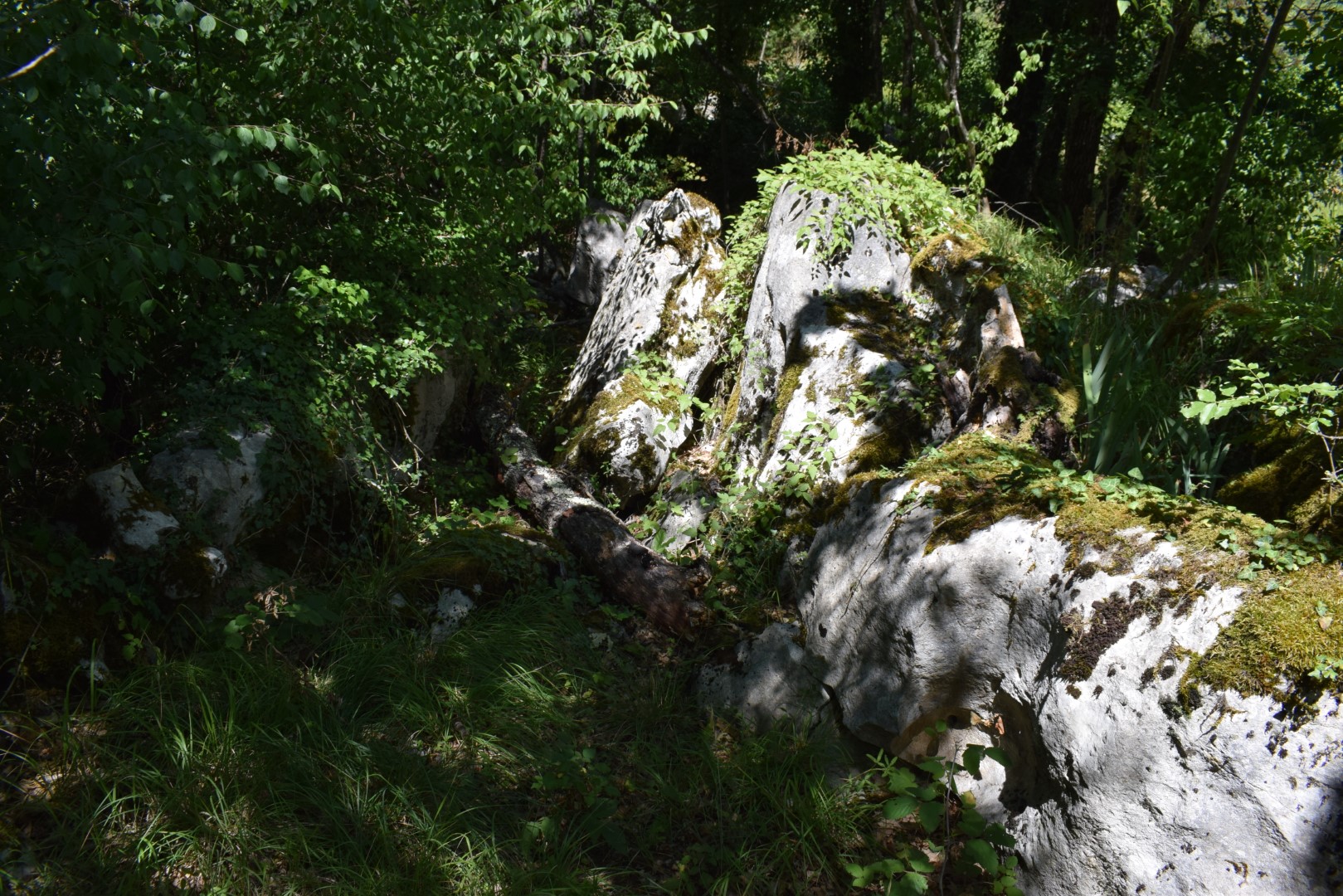
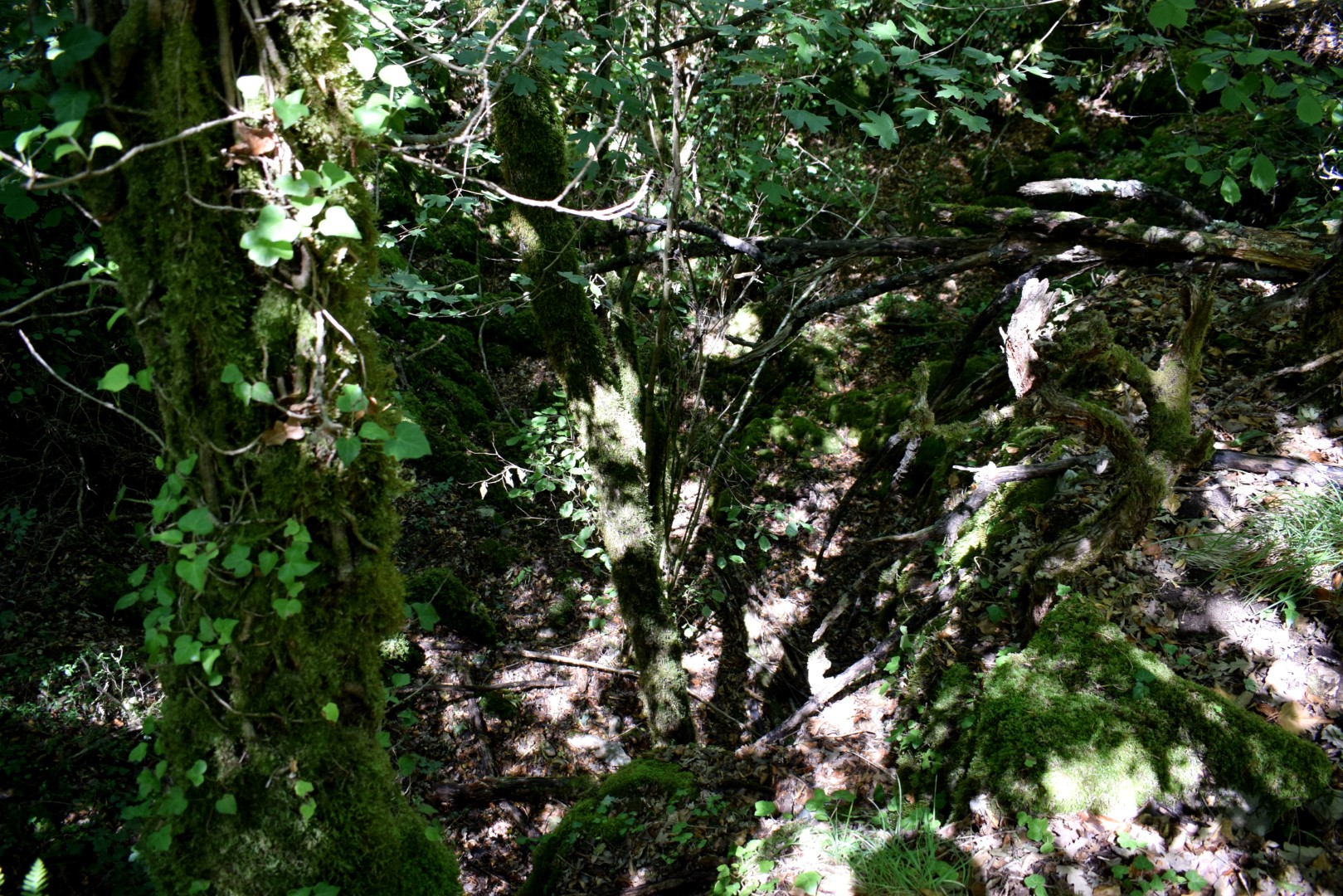
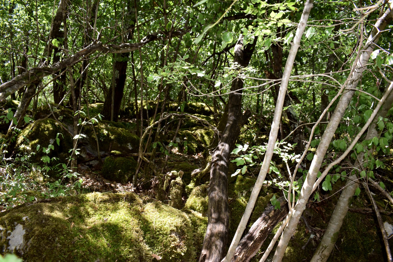
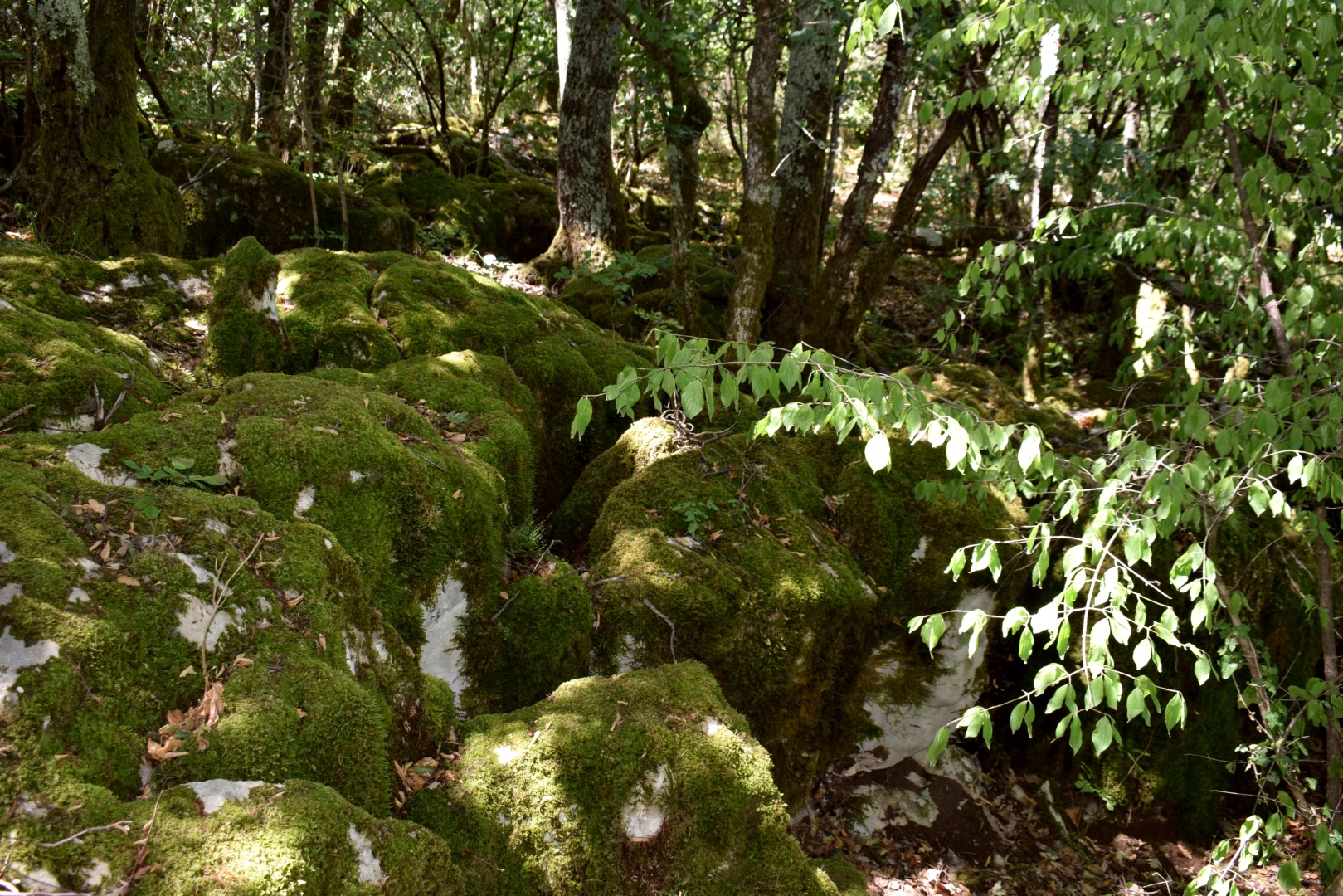
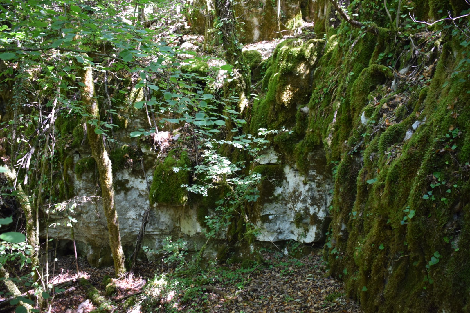
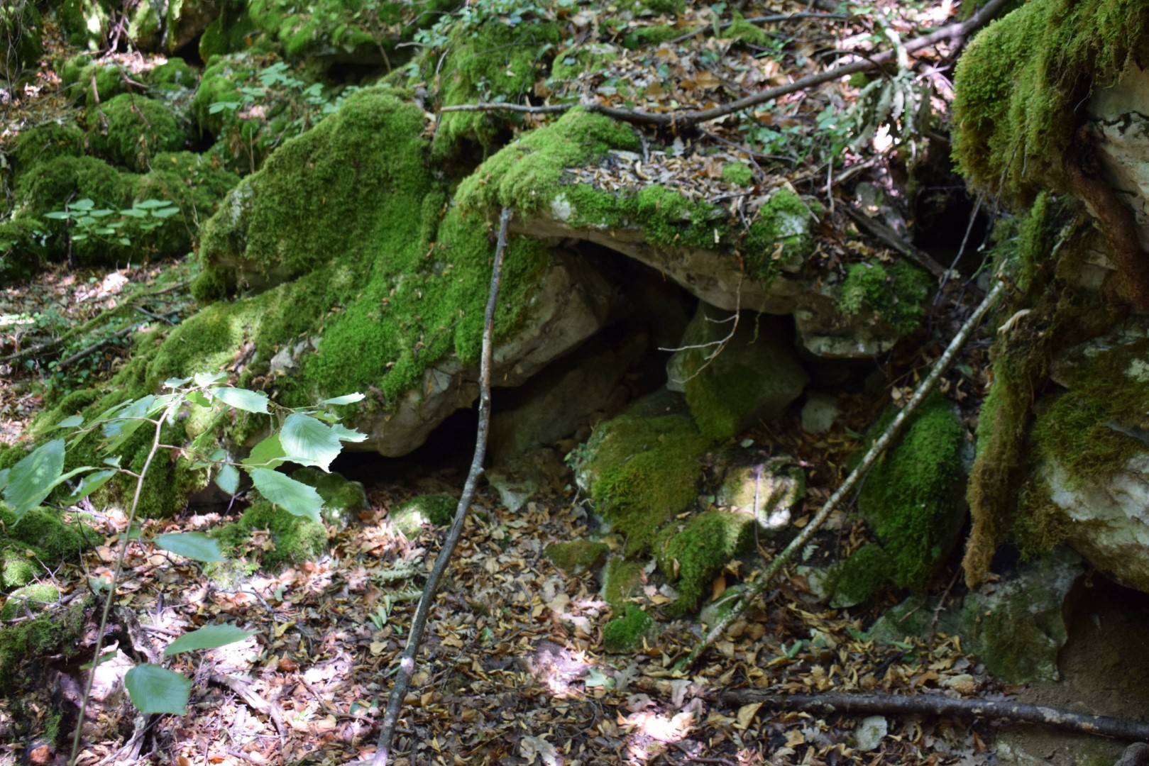
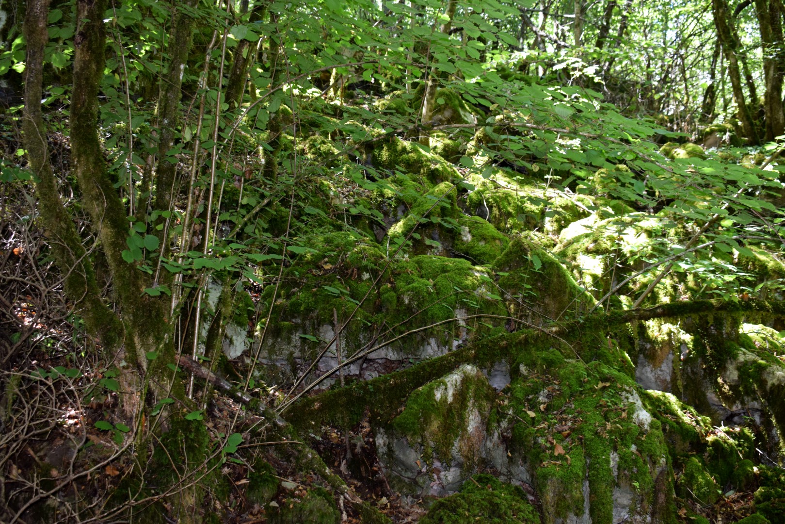
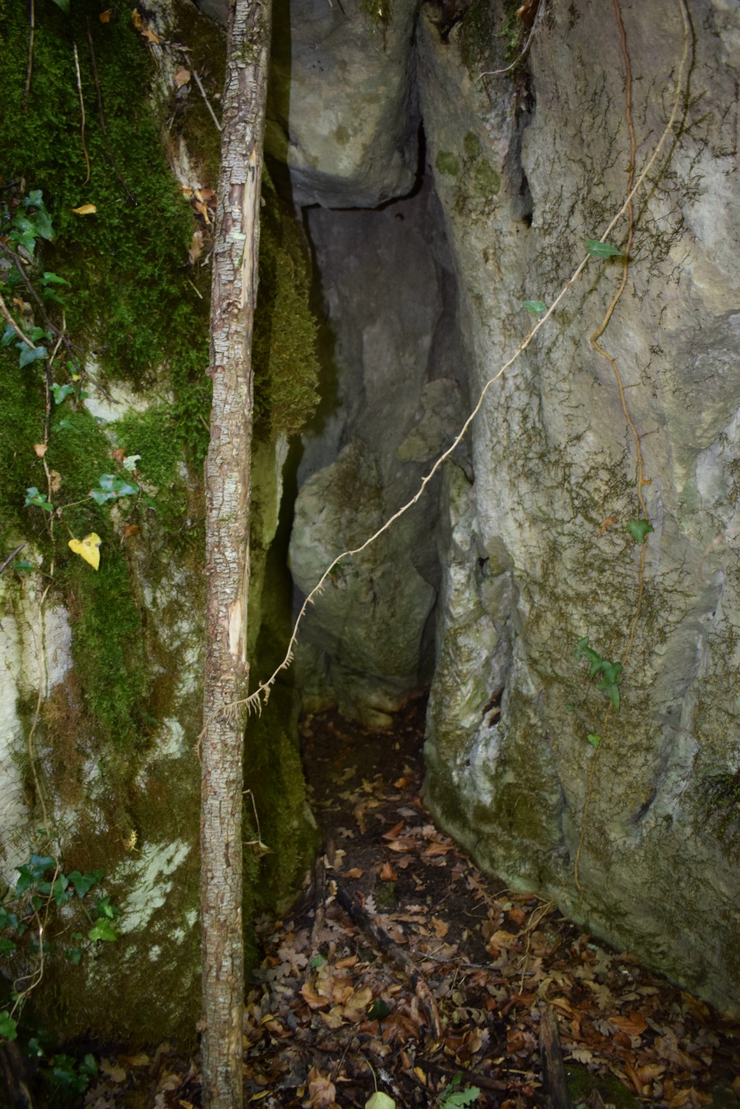
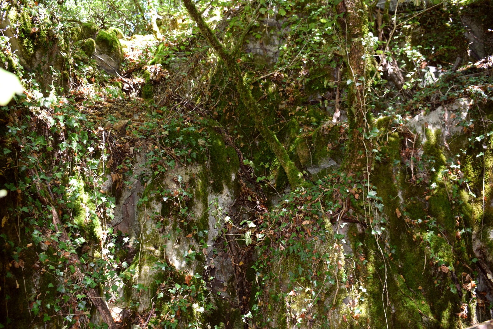
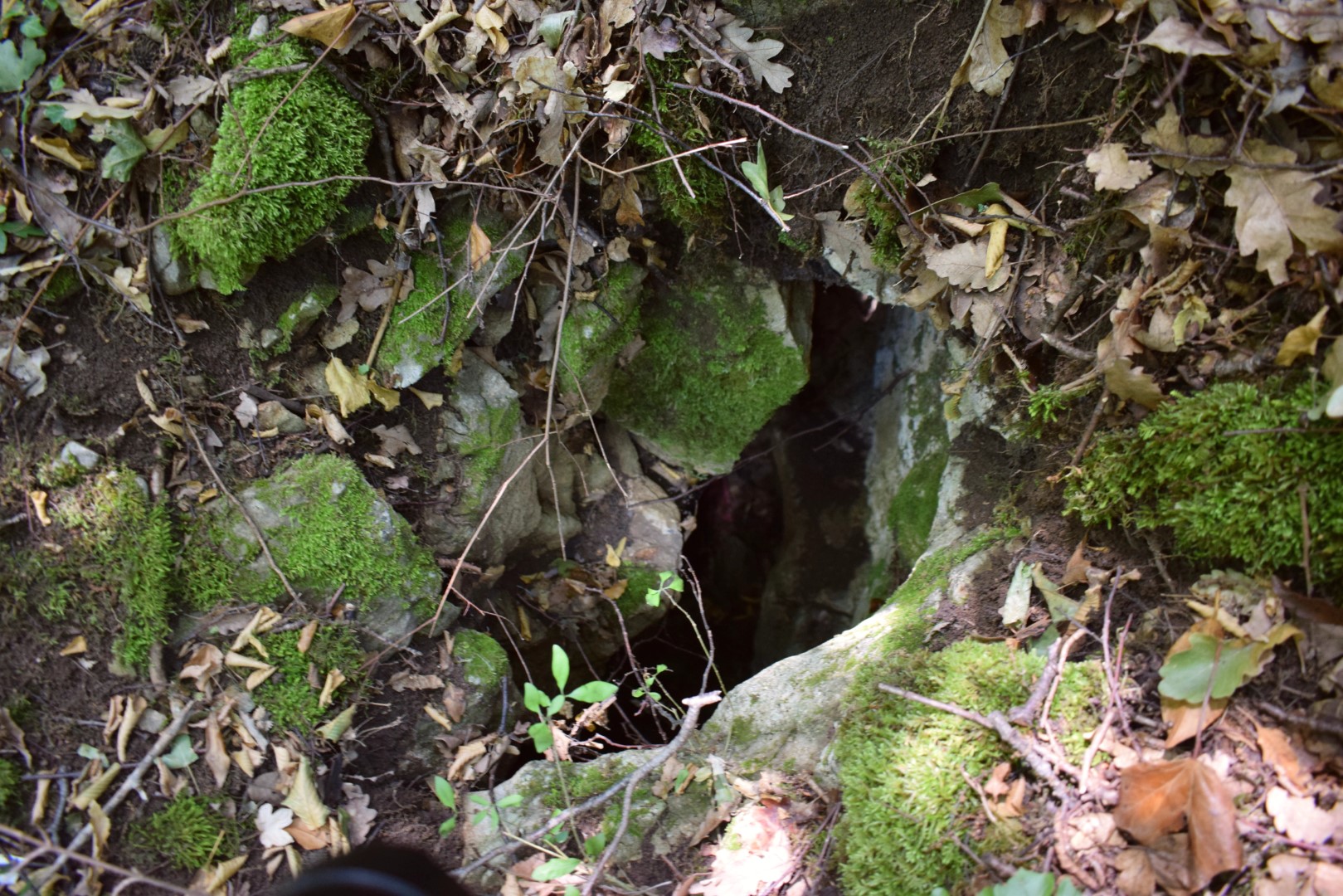
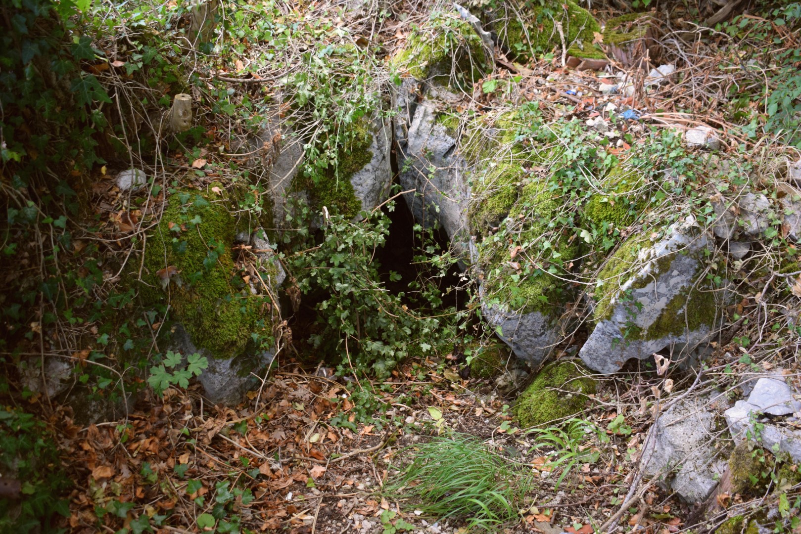
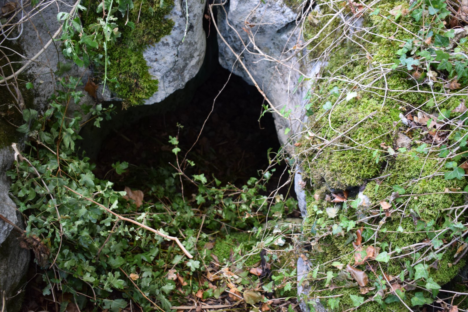
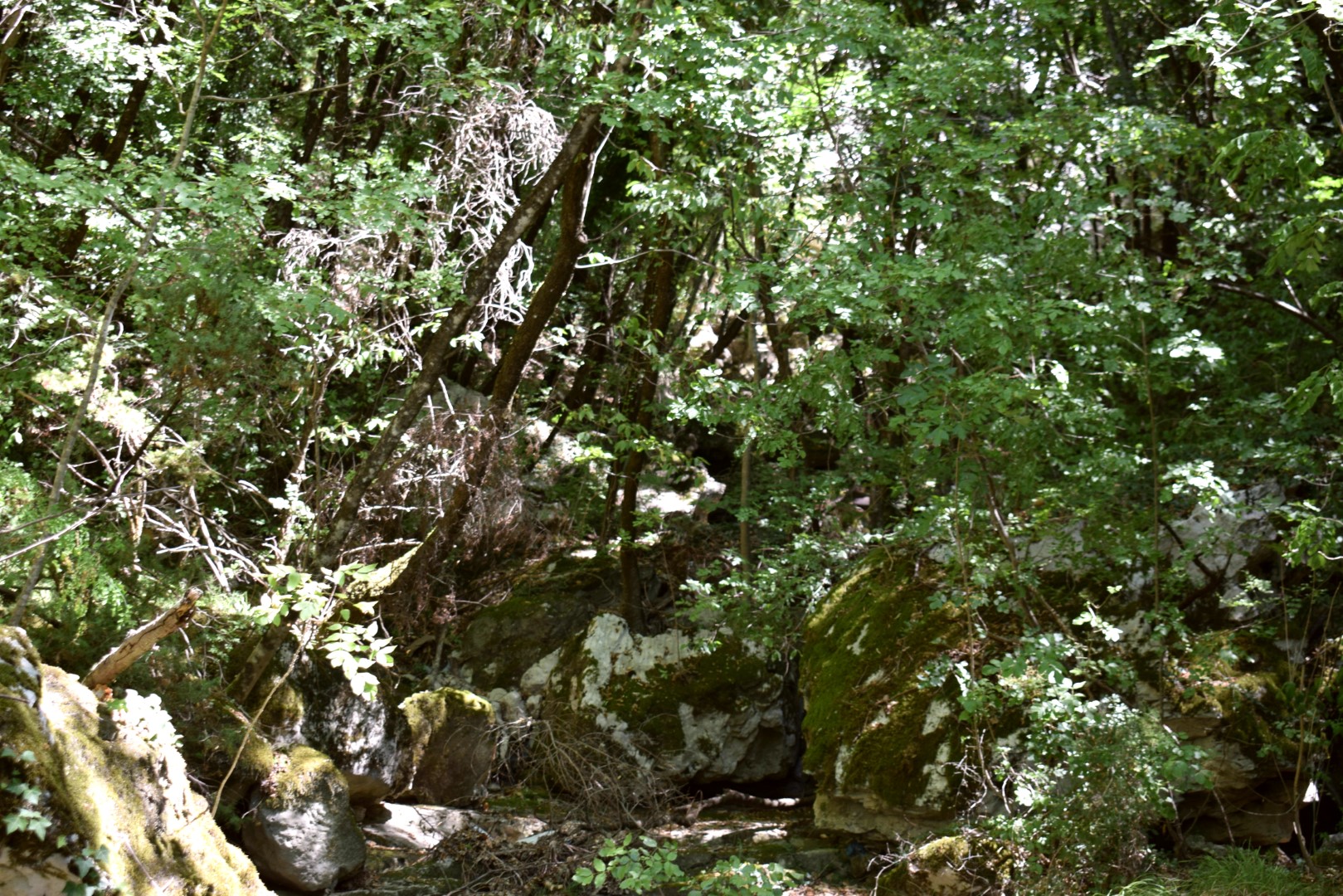
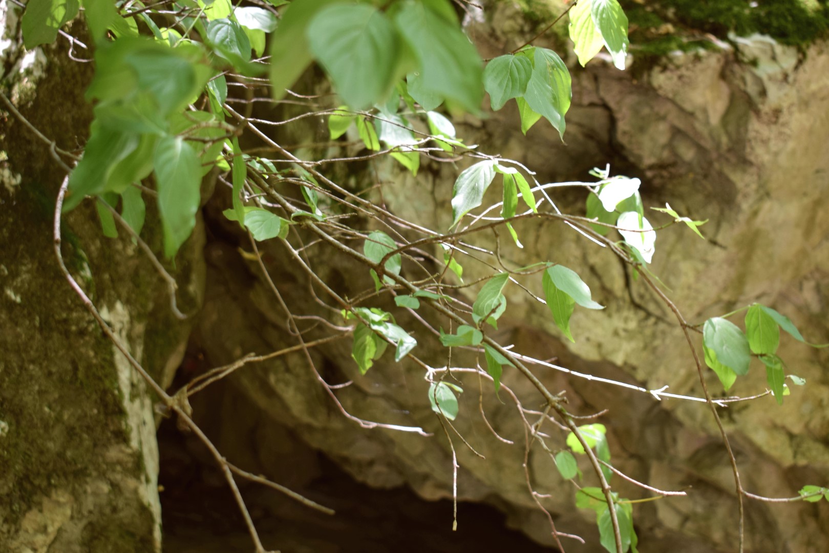
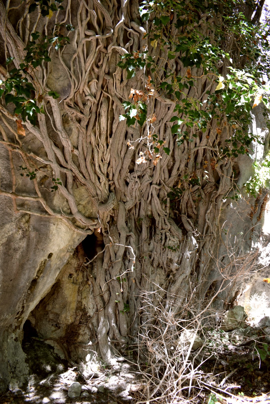
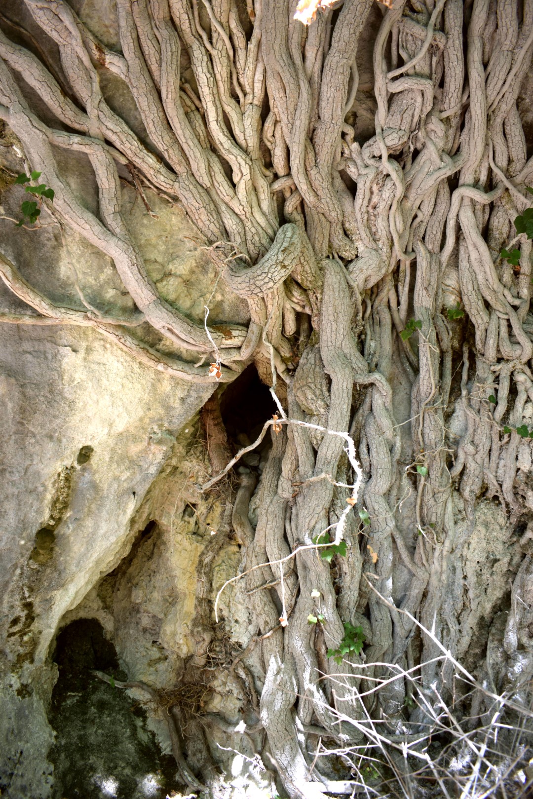
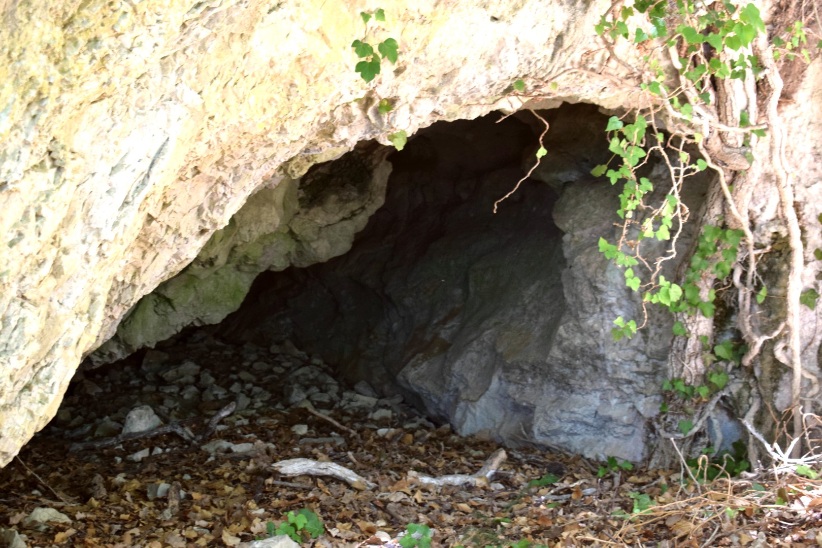
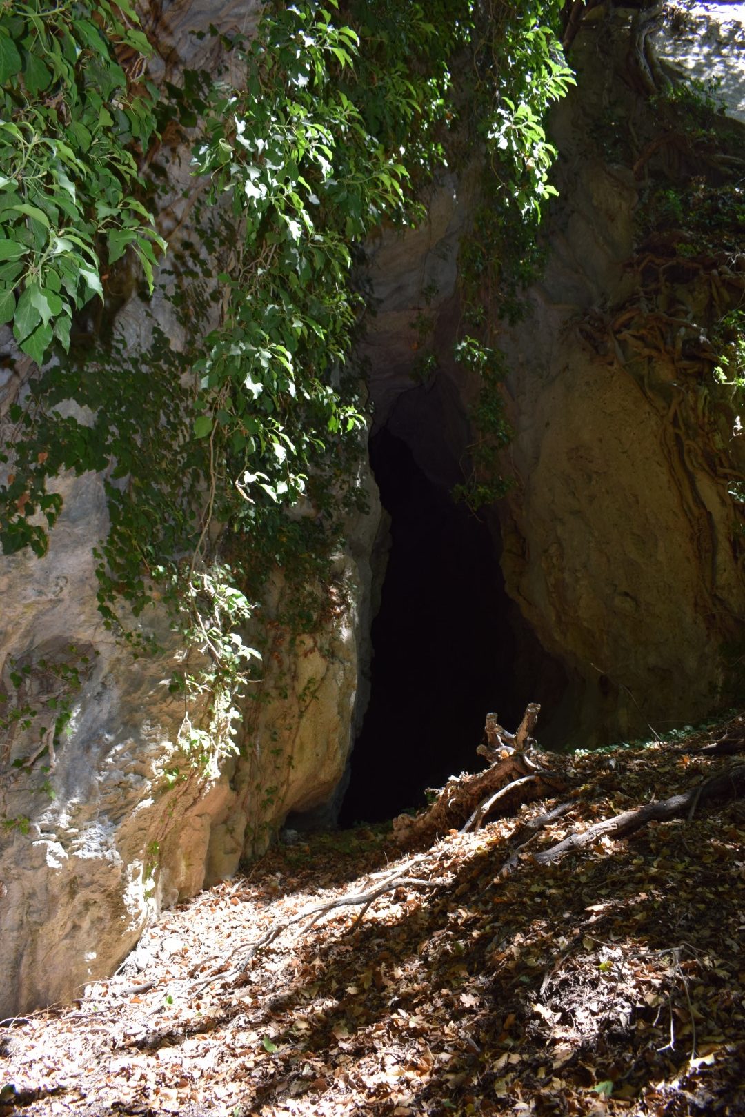
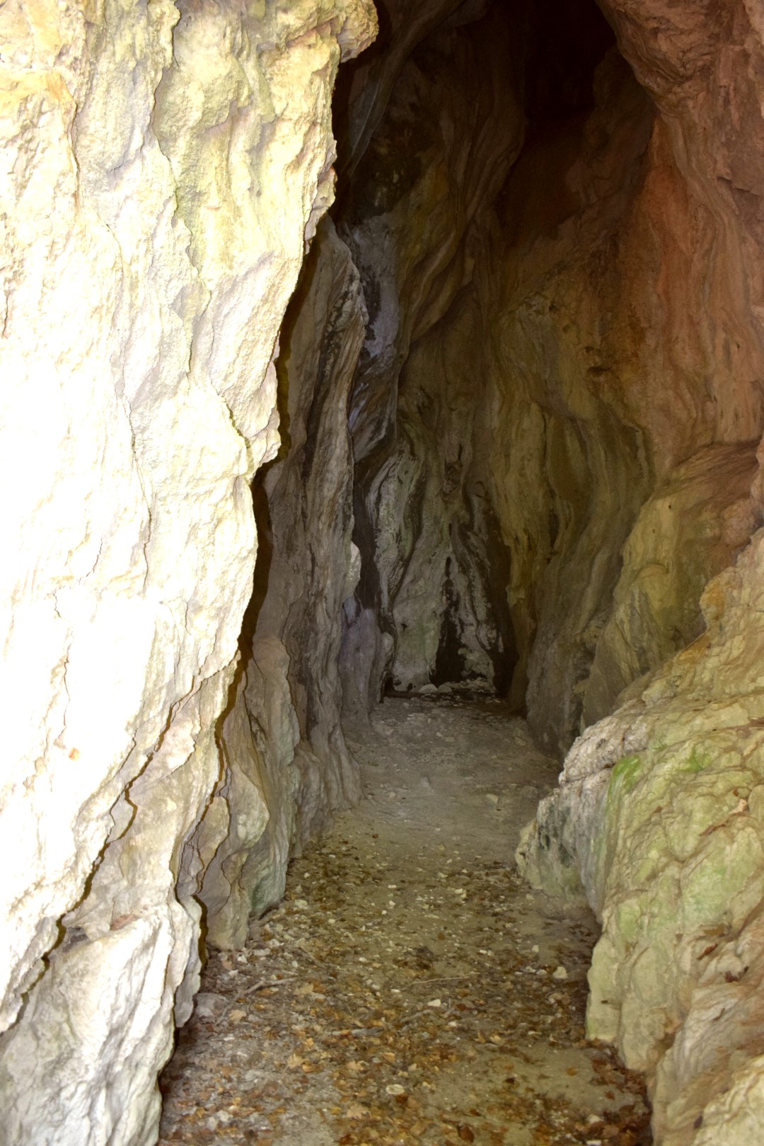
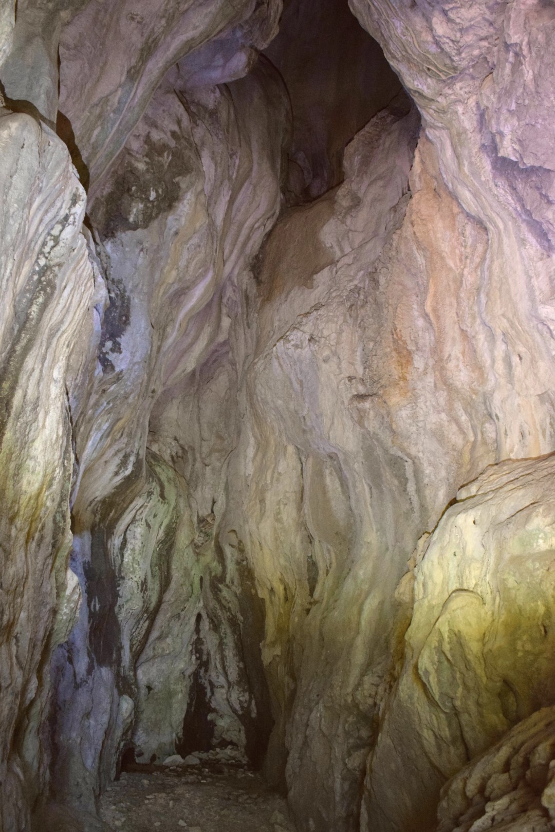
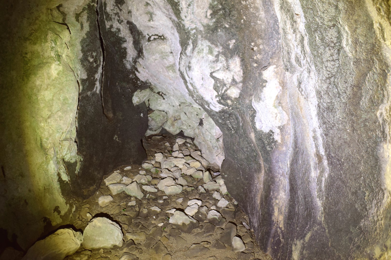
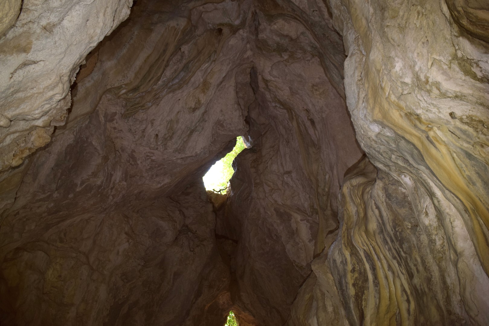
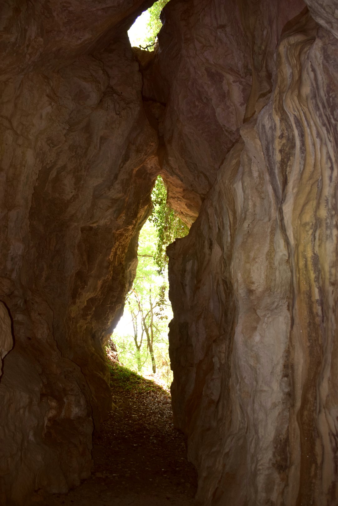
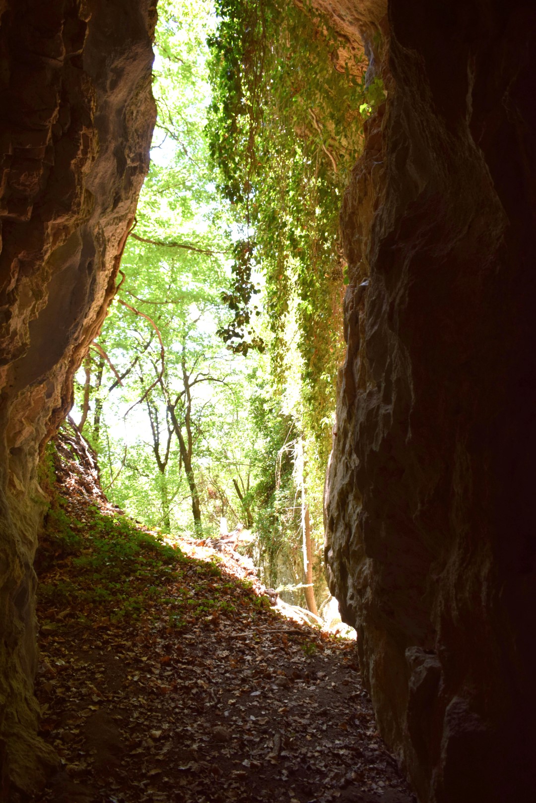
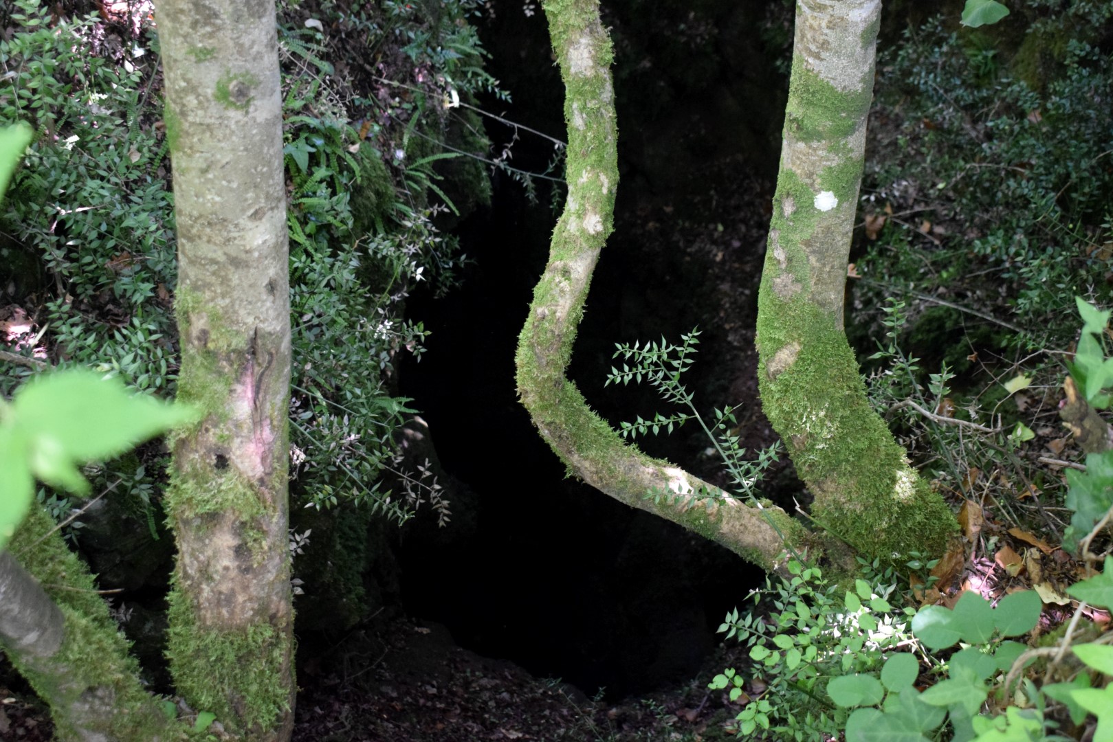
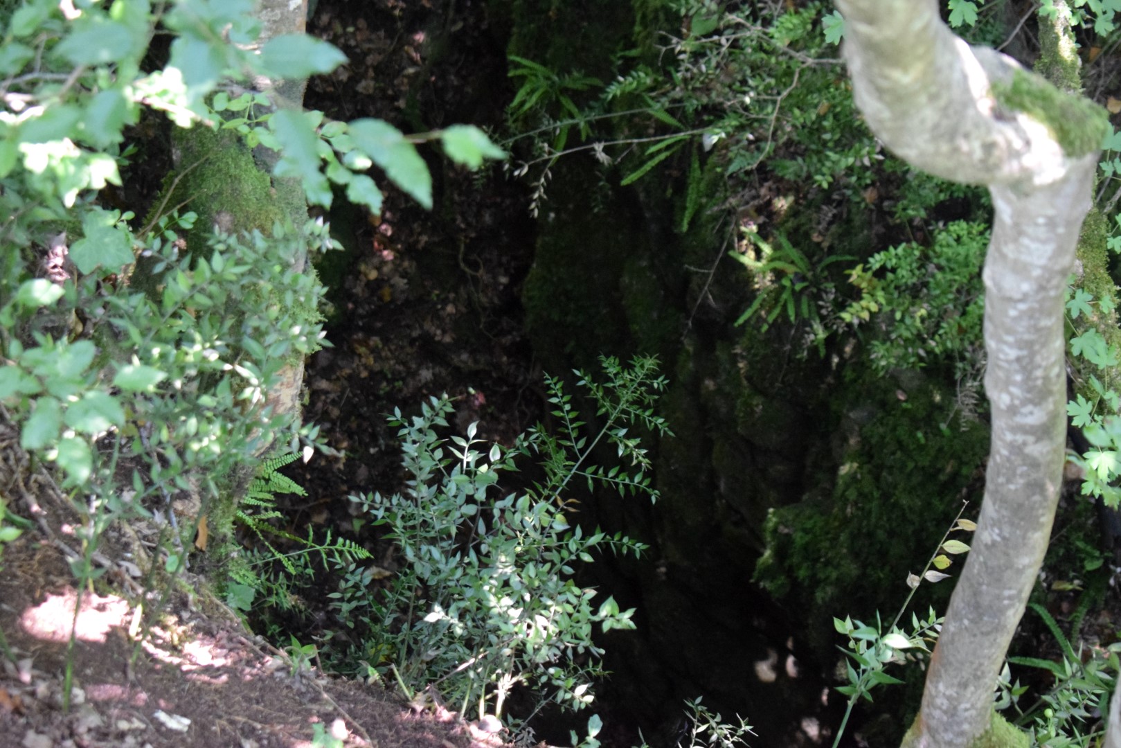
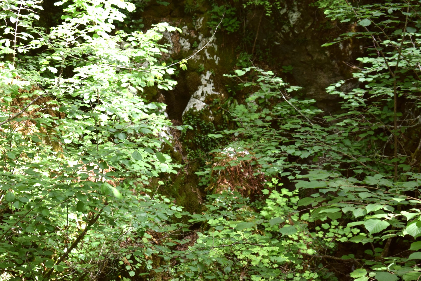
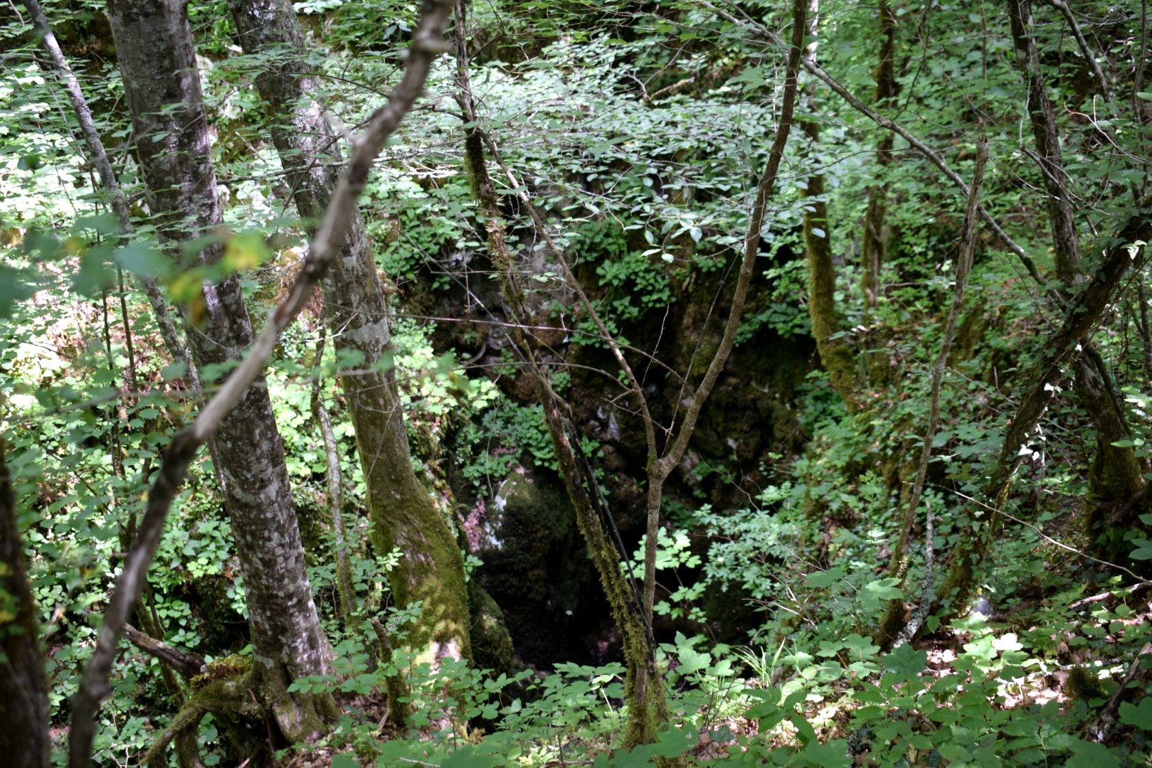
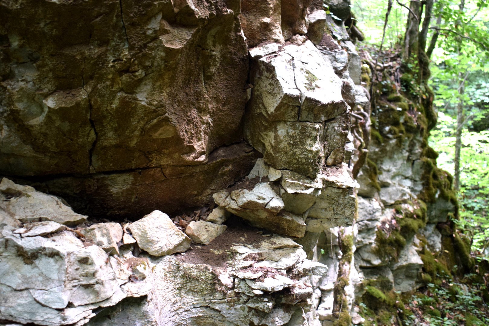
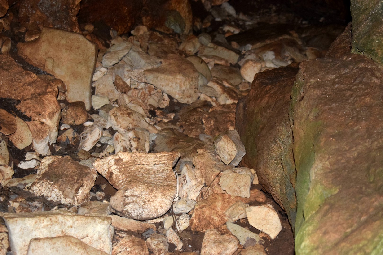
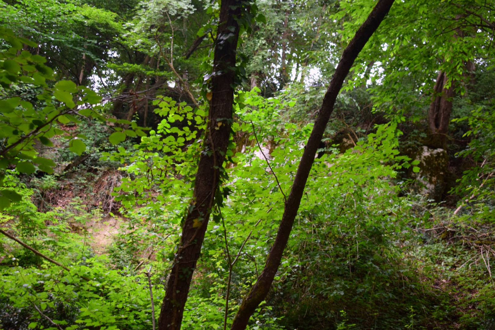
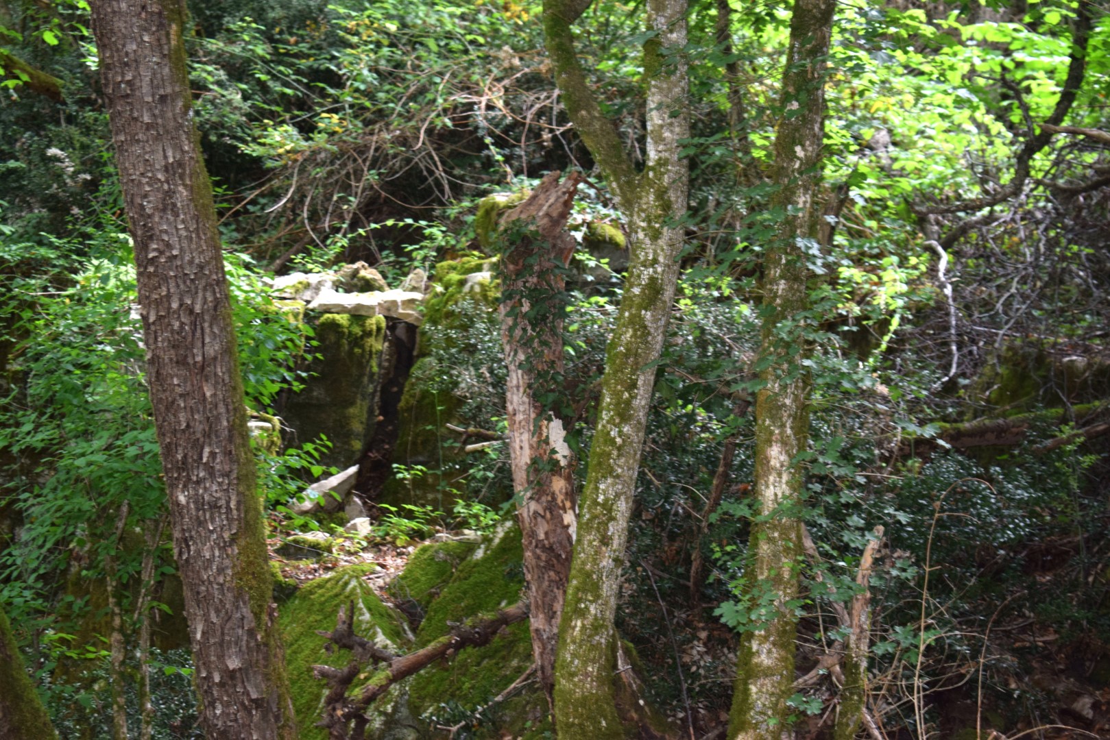
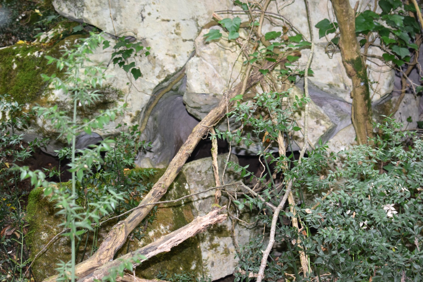
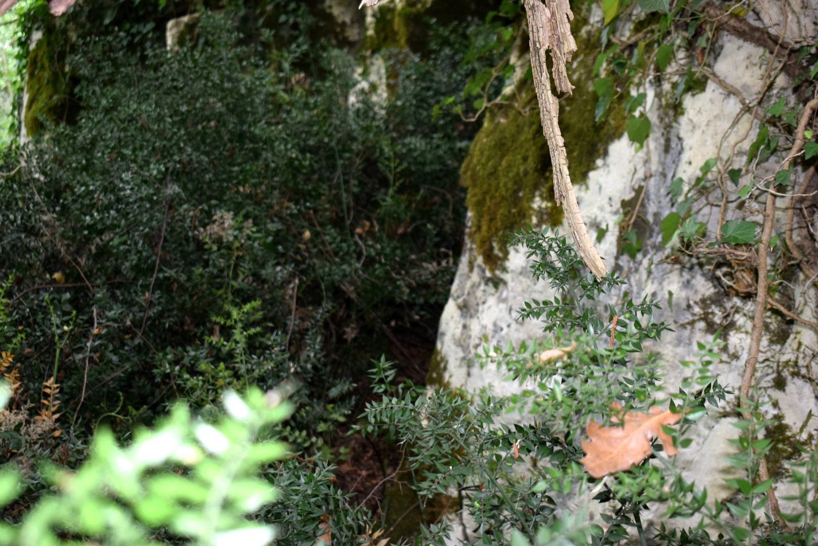
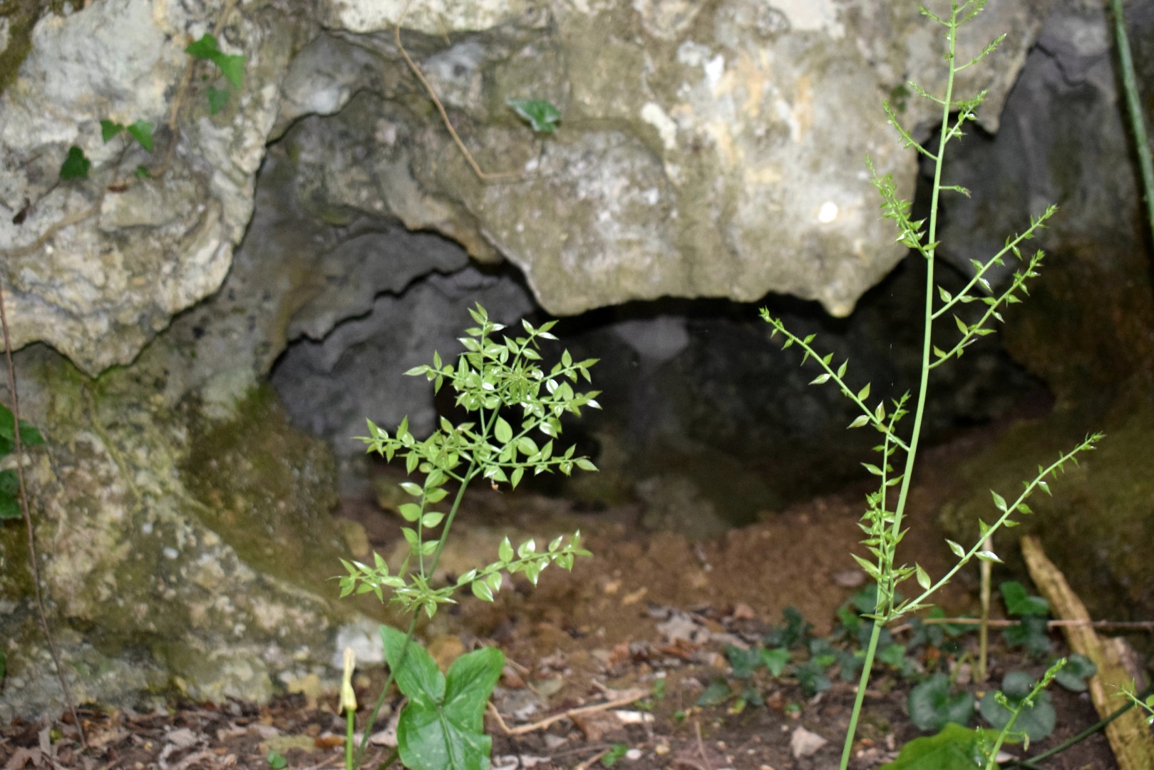
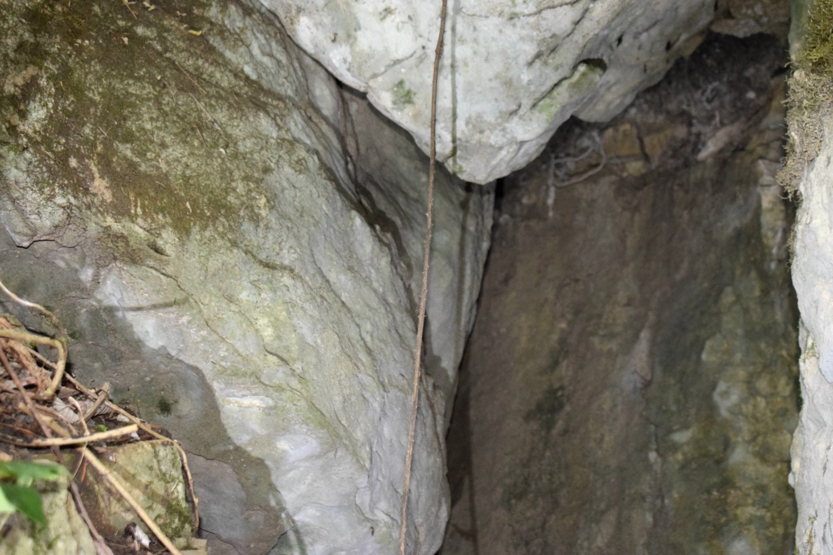
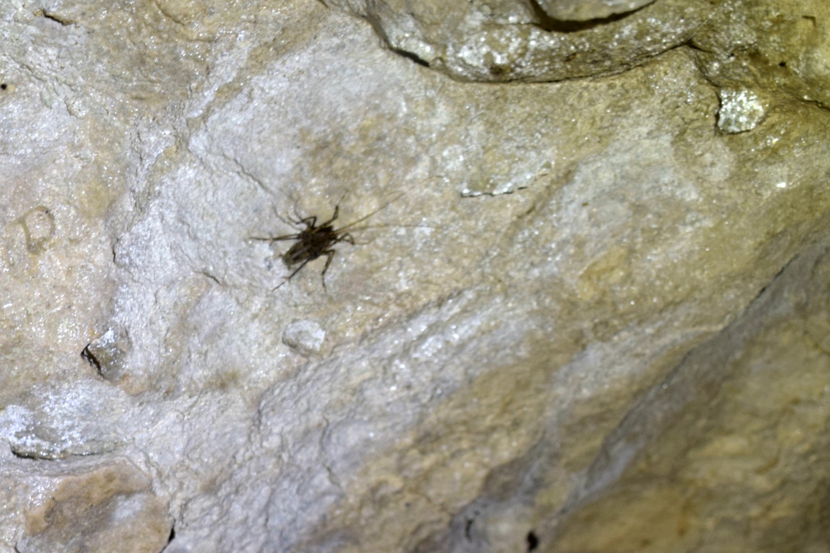
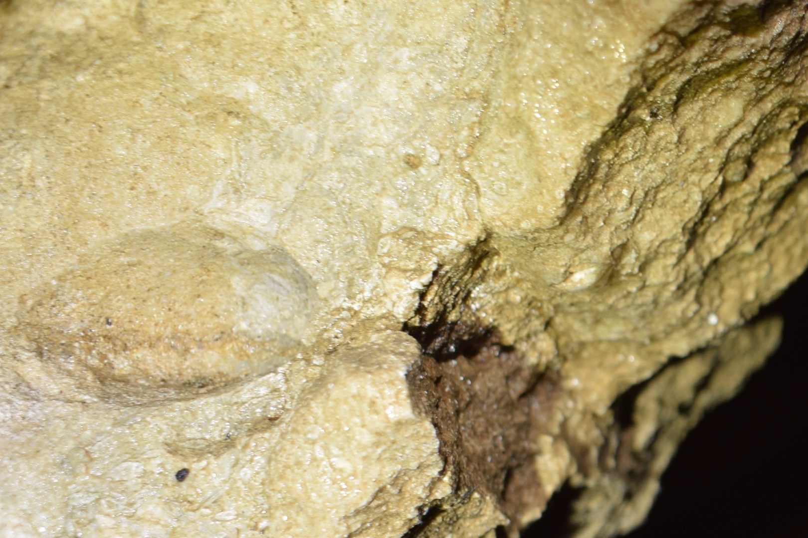
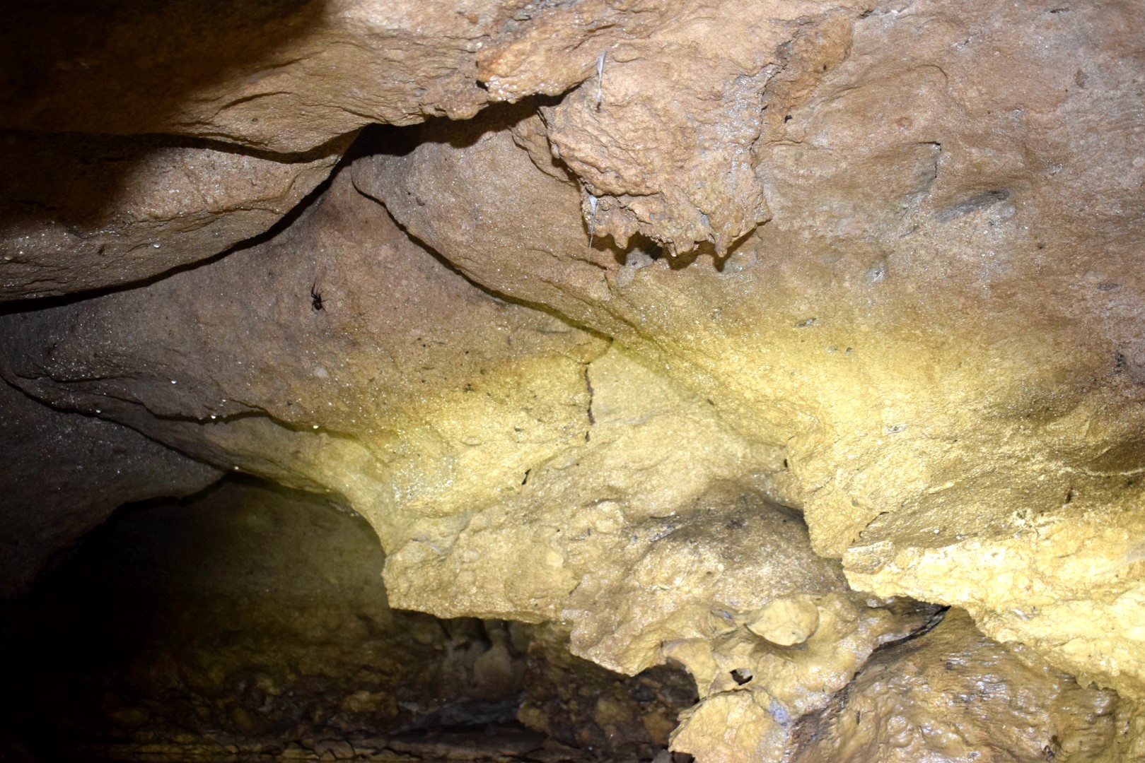
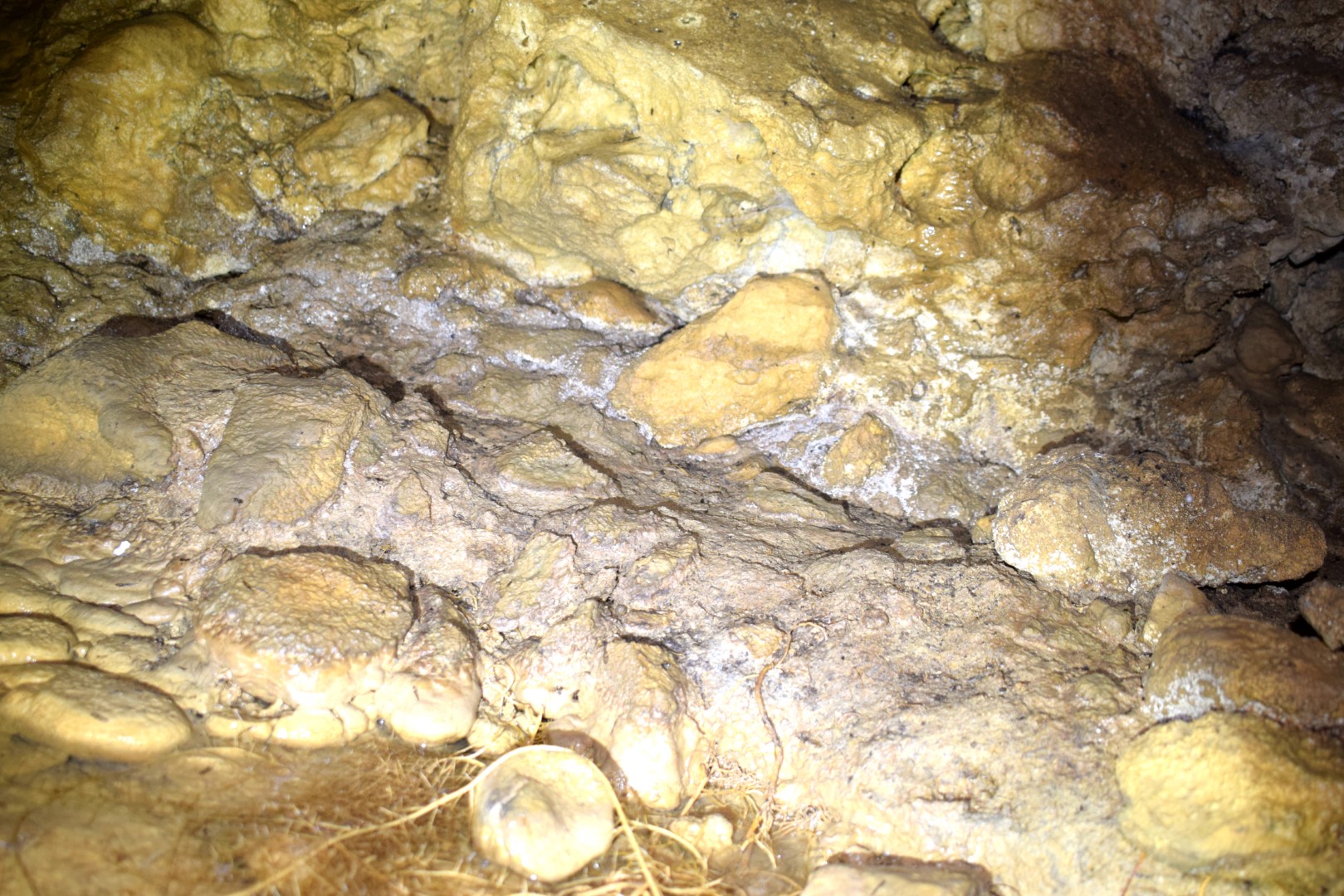
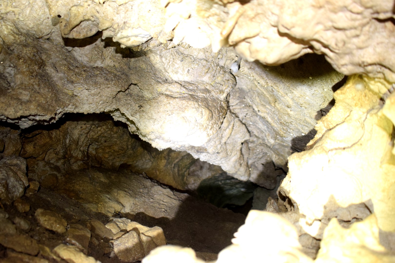
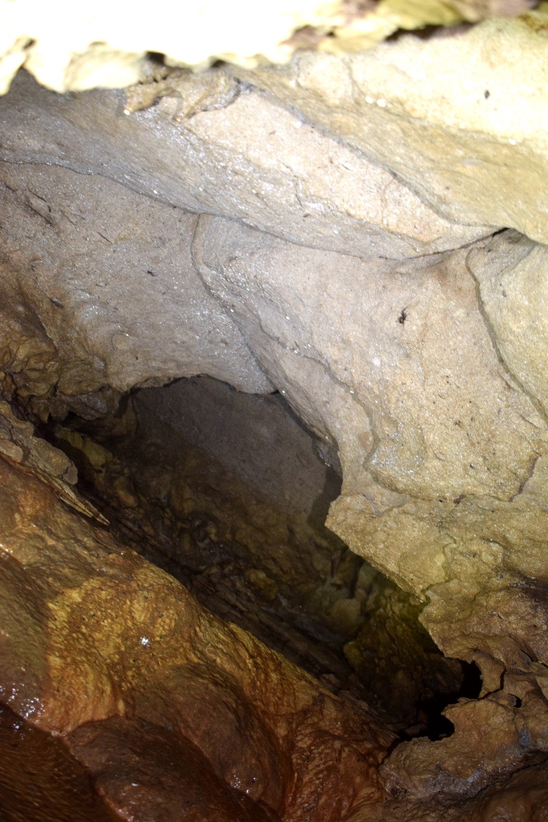
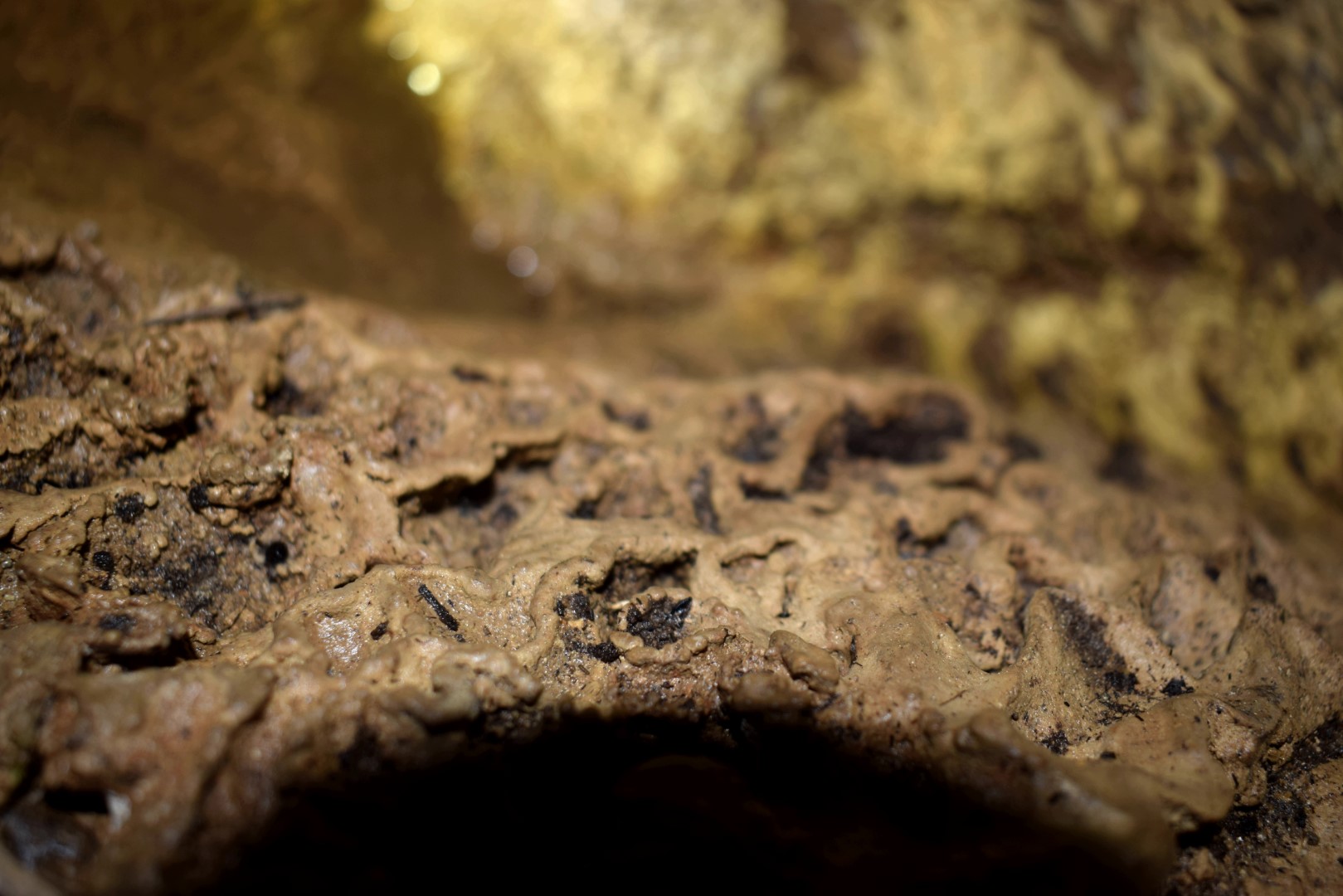
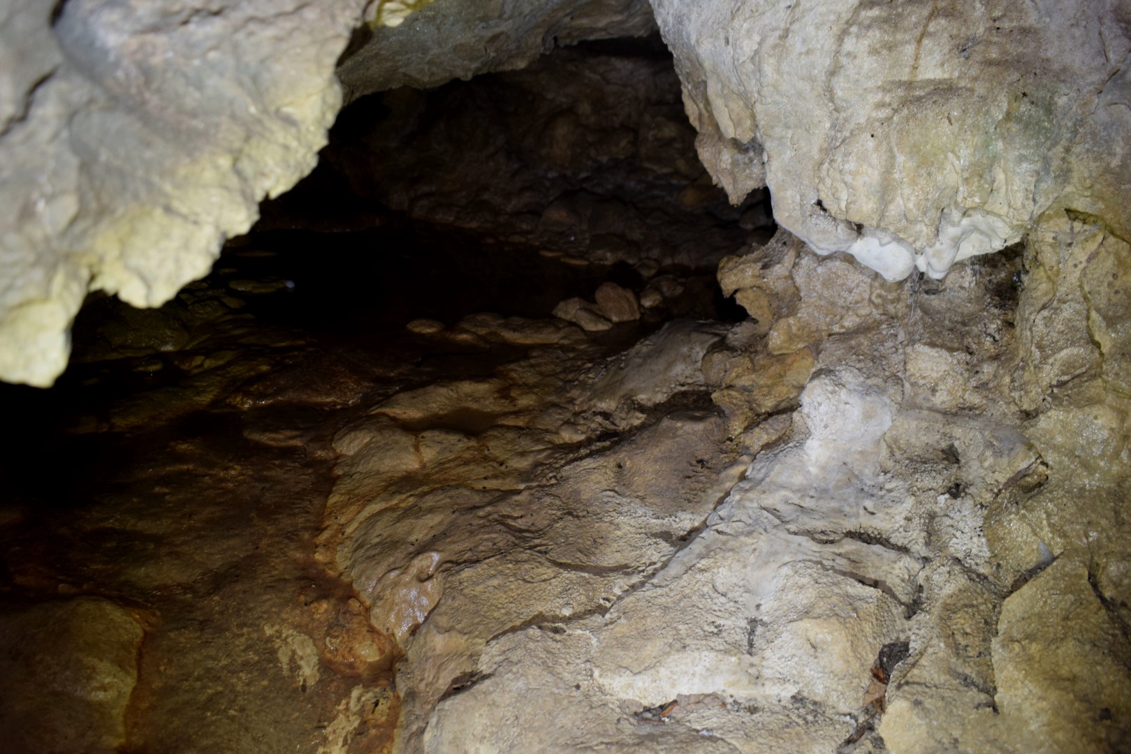
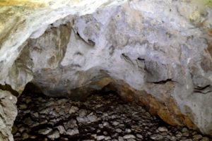
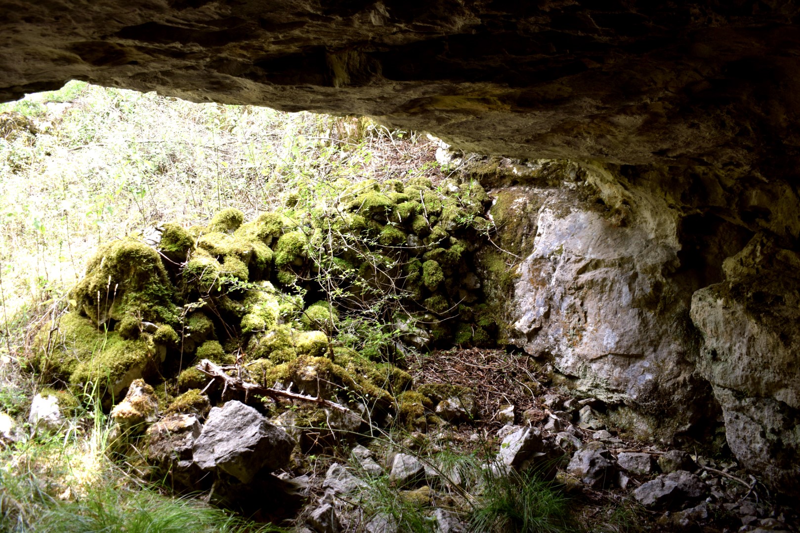
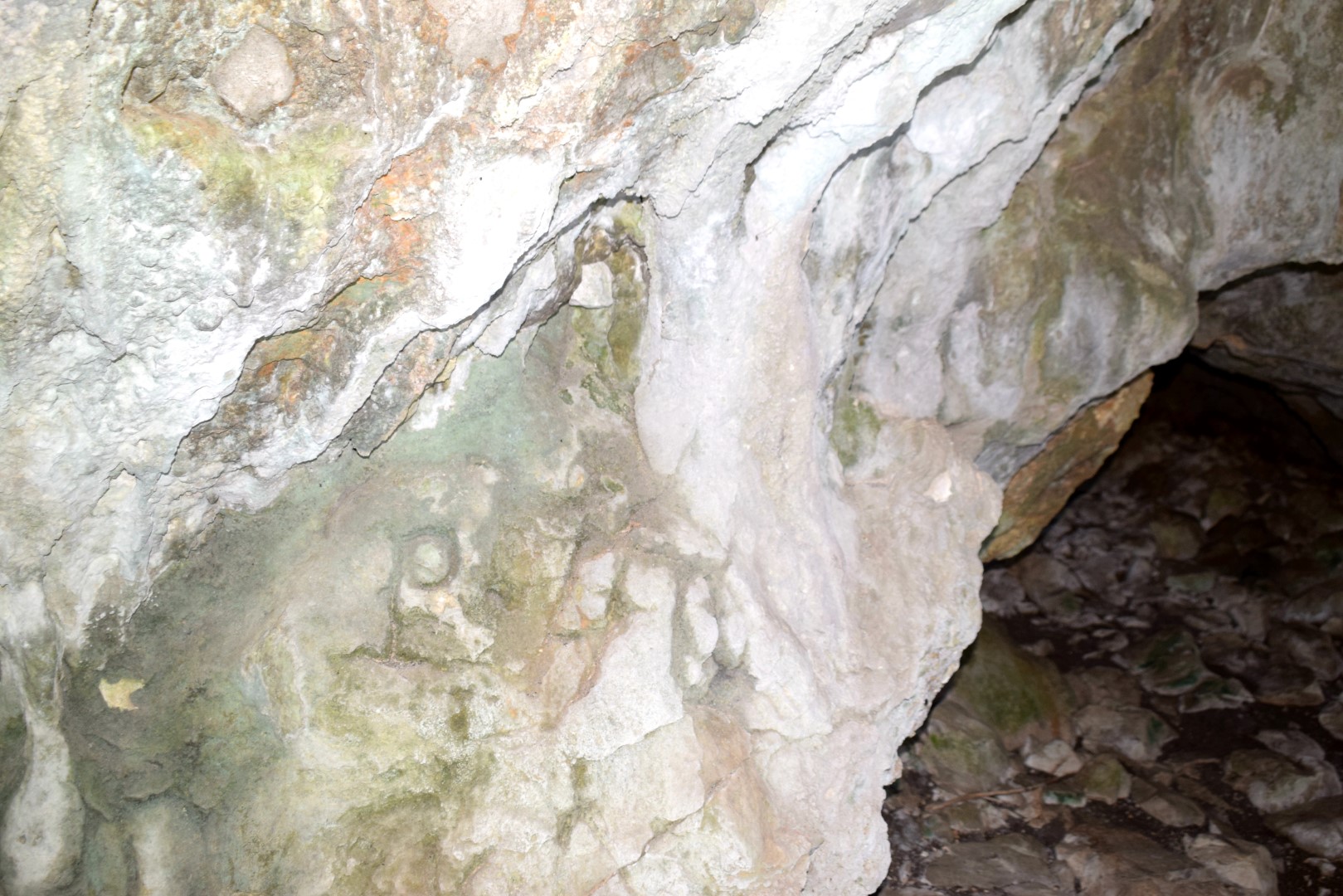
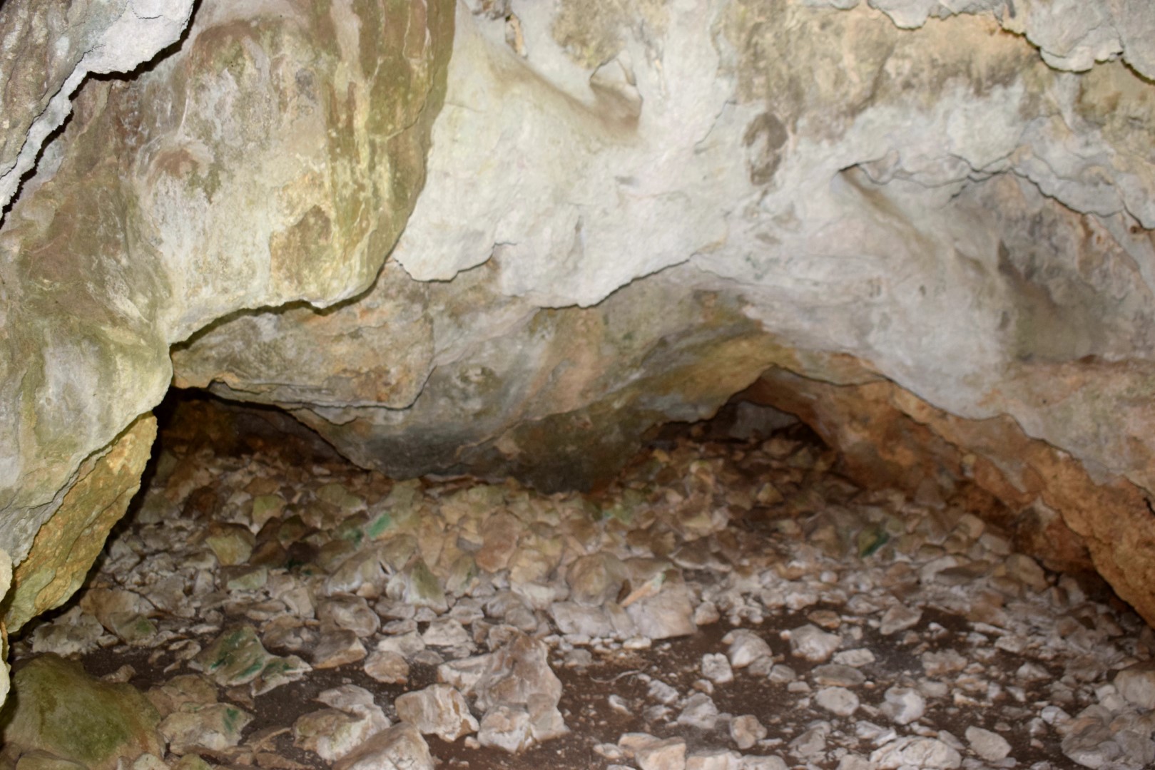
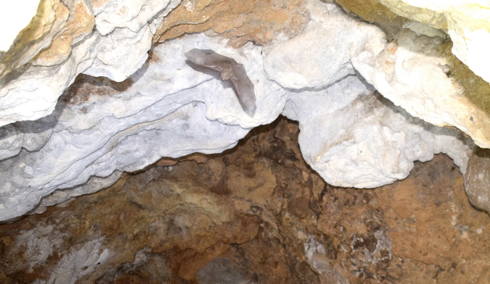
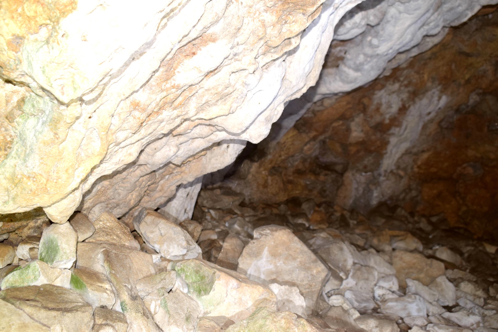
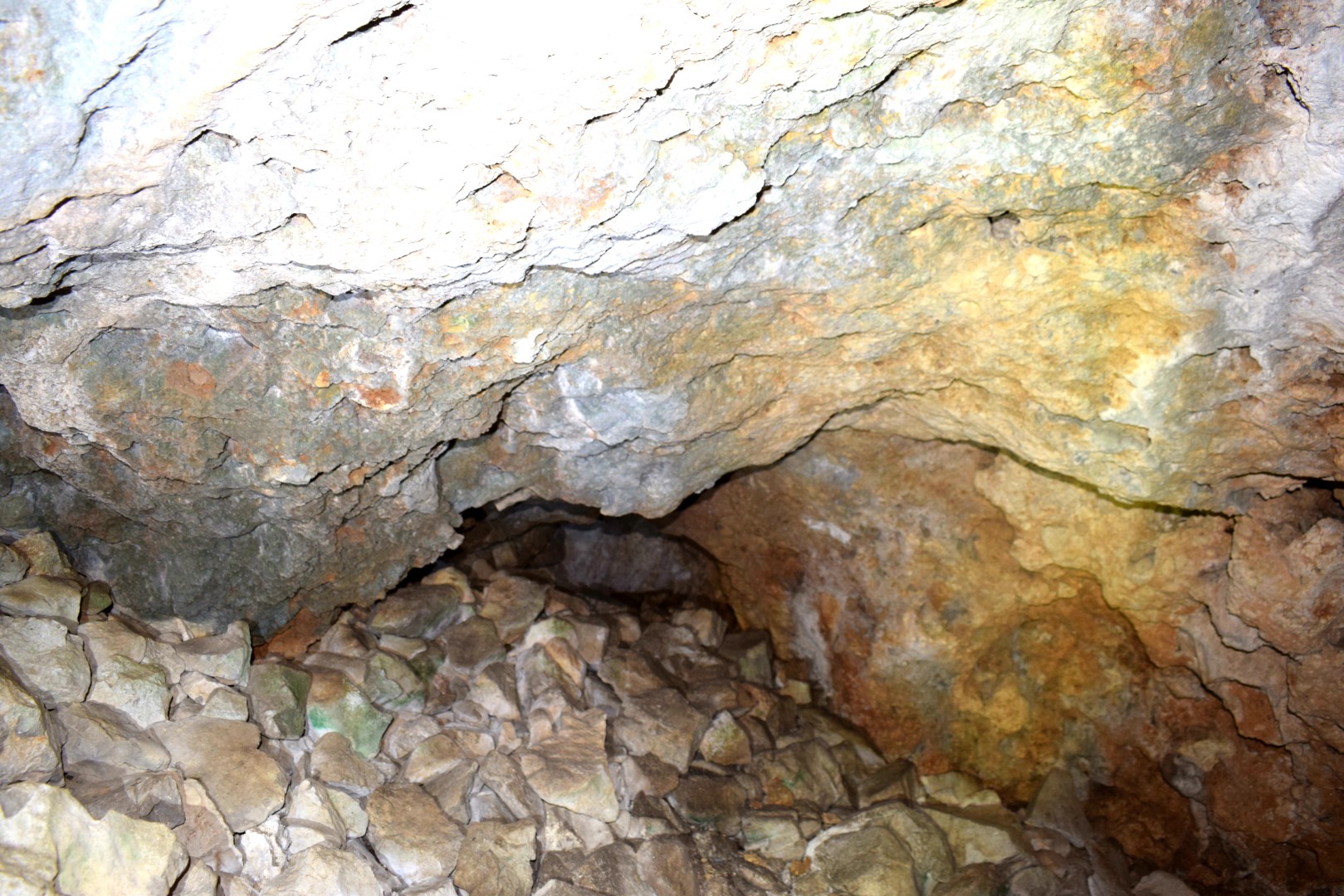
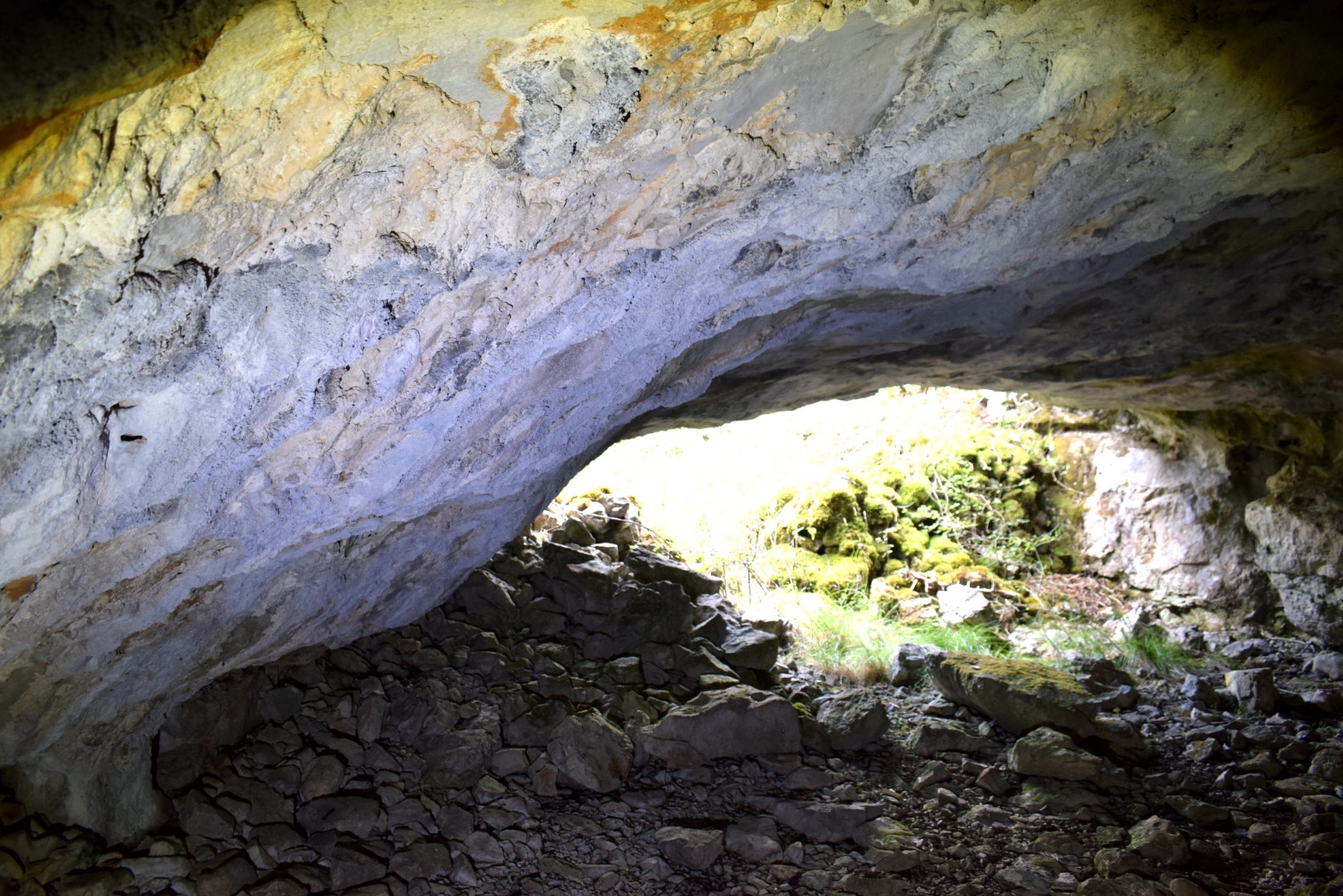
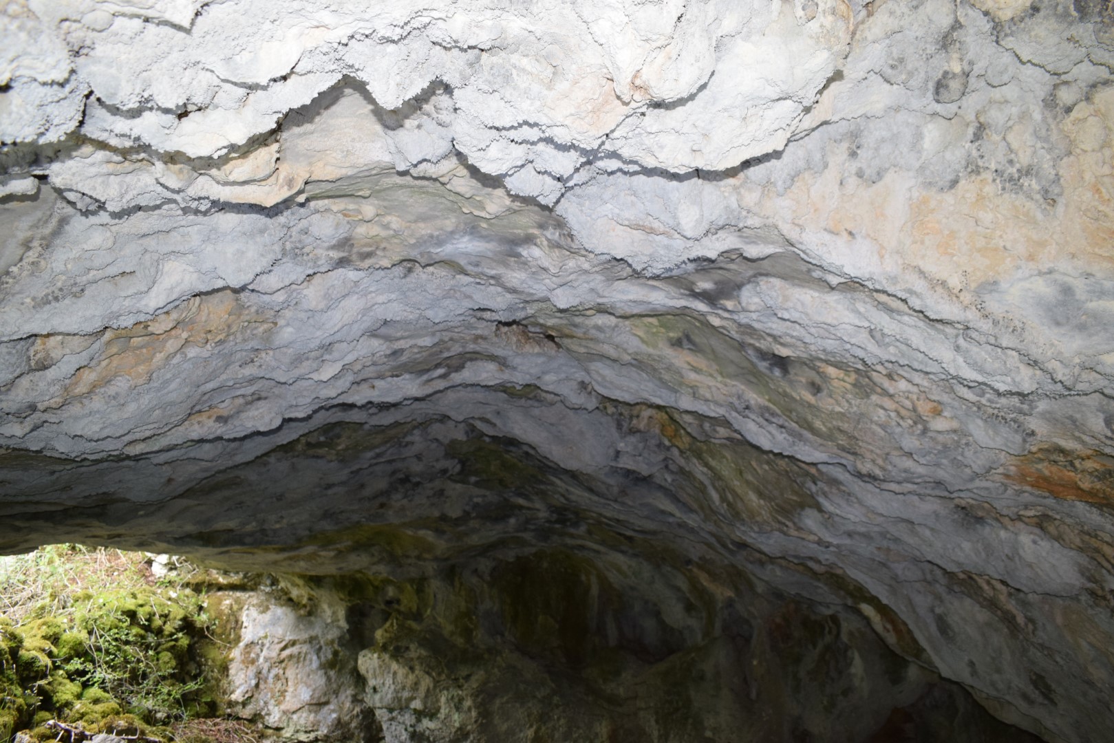
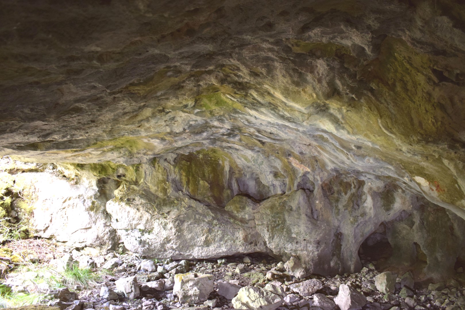
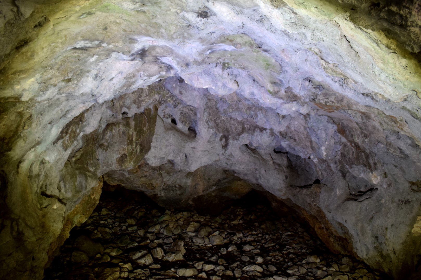
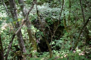
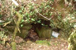
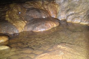
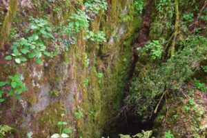
Name: Cave Bršljanovica.
Place: Lanišće.
Coordinates: Start trail 45.39725 N – 14.10373 E, Cave 4539867 N -14.09582.
Name: Hiking trail to the village and the cave Potpećine.
Place: Cernehi – Potpećine – (Buzet).
Coordinates: Start 45.35359 N – 14.96273 E, village Potpećine 45. 35784 N – 14.054631 E, Cave: 45.35808 N – 14.05525 E.
Name: Rabakova cave.
Place: Ročko Polje – (Buzet)..
Coordinates: 45.36972 N – 14.07888 E.

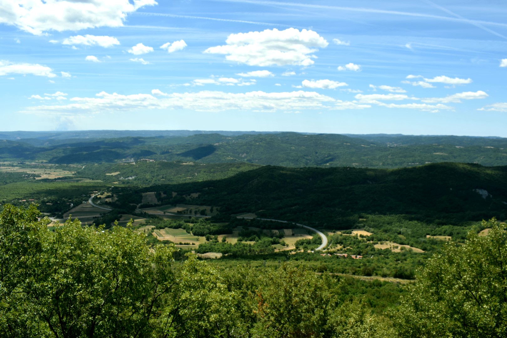
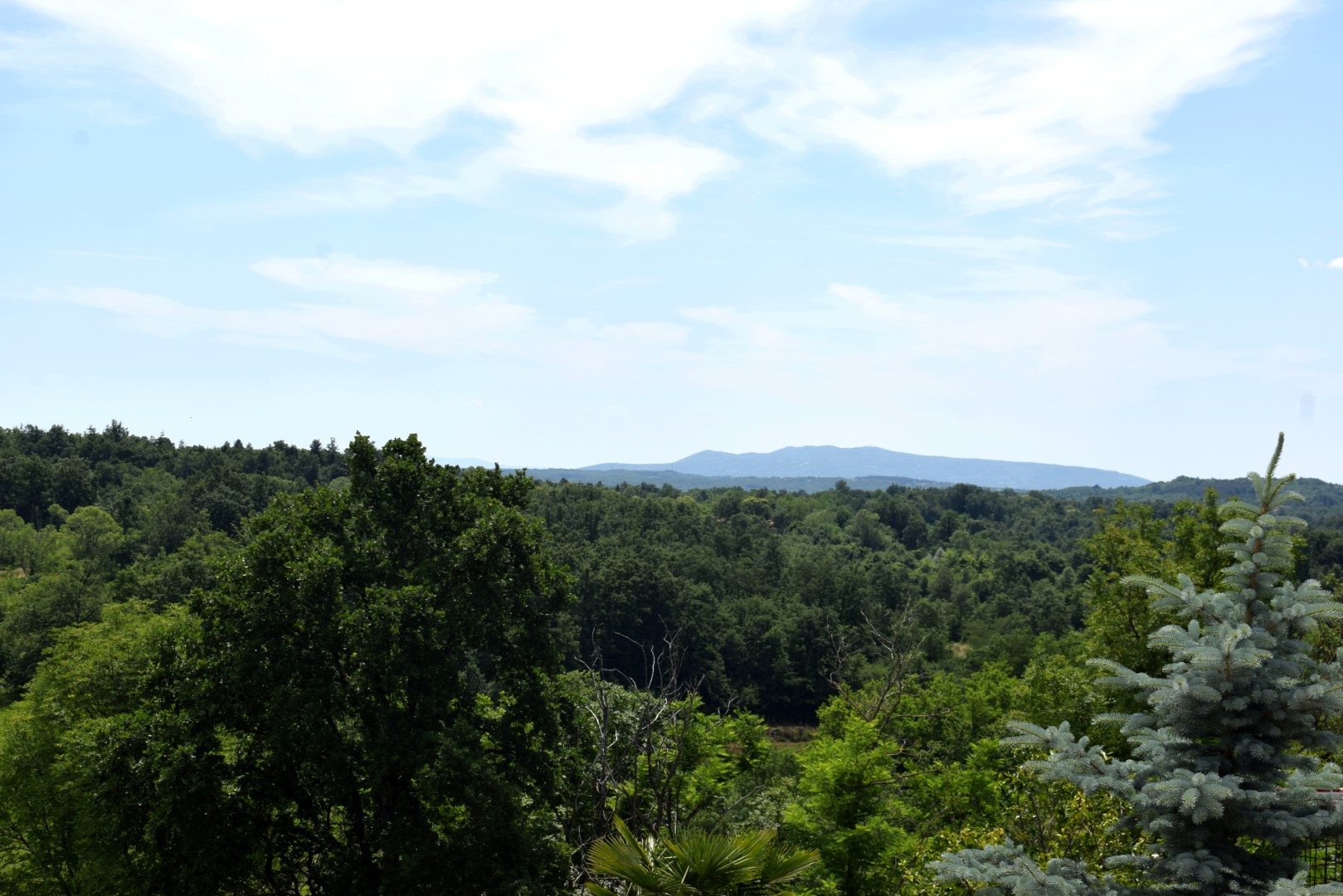
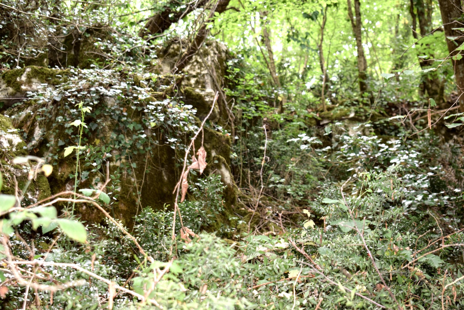
Name: Hiking trail from Brest Pod Učkom to the viewpoint and the caves near the Zuranski stream.
Place: Brest Pod Učkom – Lupoglav.
Coordinates: Start 45.33067 N – 14.15203 E, viewpoint 45.33046 N – 14.149 57 E (545 m.), caves 45.33252 N -14.14577 E.

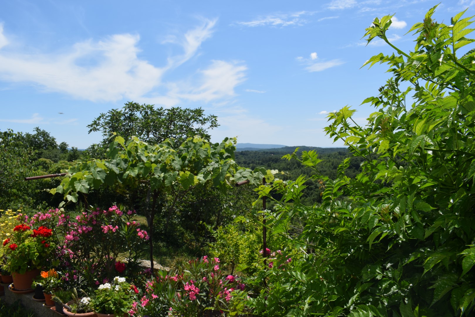
Name: The area around the Markova cave near the village Spin.
Place: Spin – (Tar).
Coordinates: 45.31921 N -13.63156 E
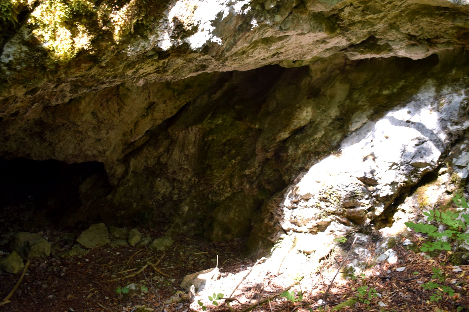
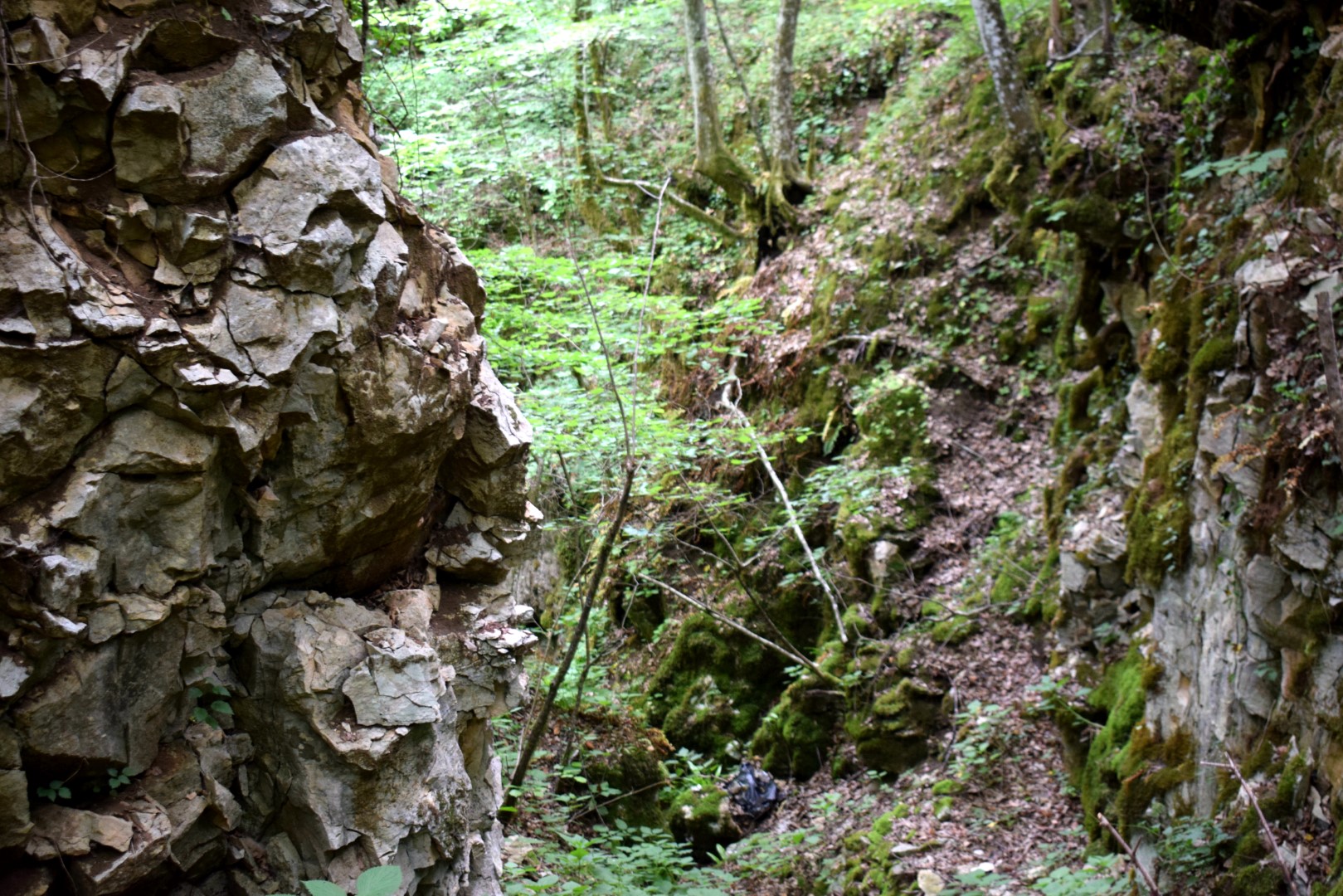
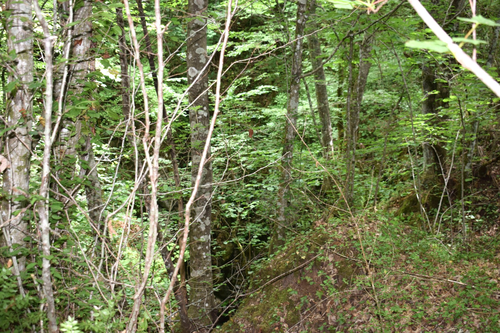
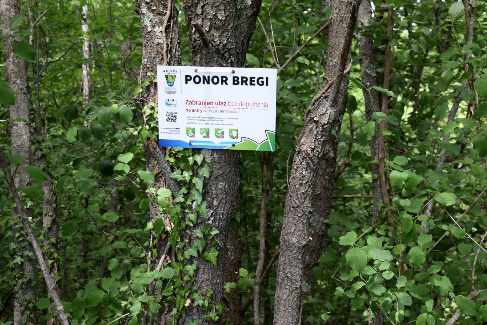
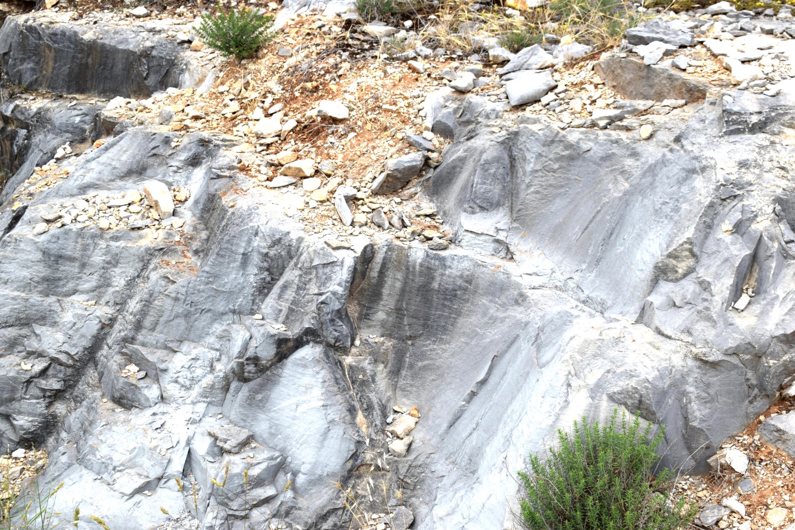
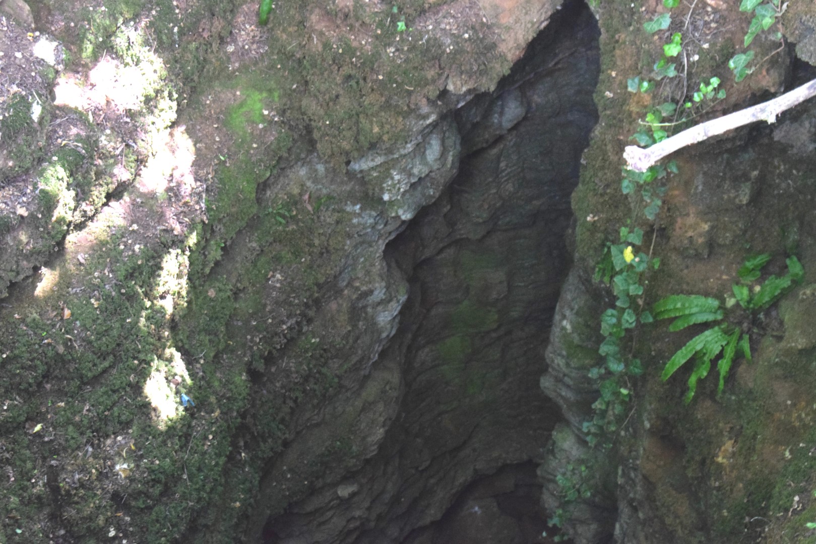
. This cave/abyss near the village of Brigi (Gračišće) is 273 meters deep and about 2 km long and collects rainwater from the surrounding hills.
.
Name: Cave/abyss Bregi.
Place: Near the vilage of Brigi – (Gračišće).
Coordinates: 45.19147 N – 14.00662 E.
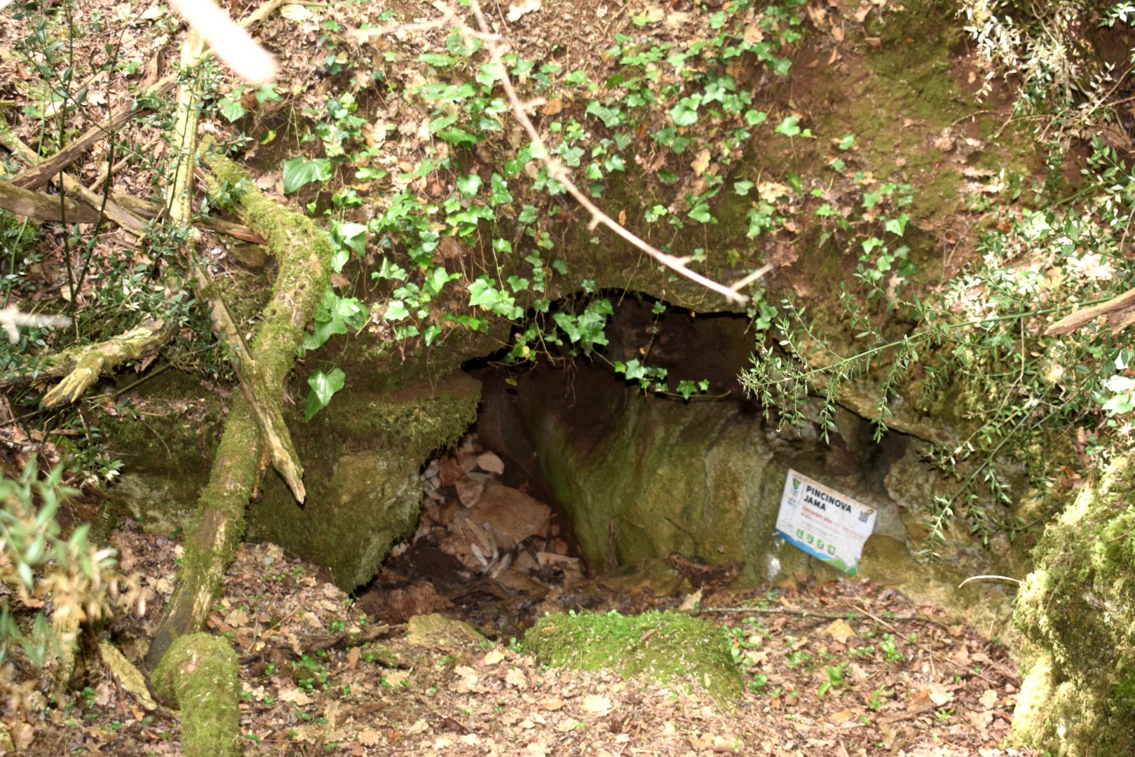
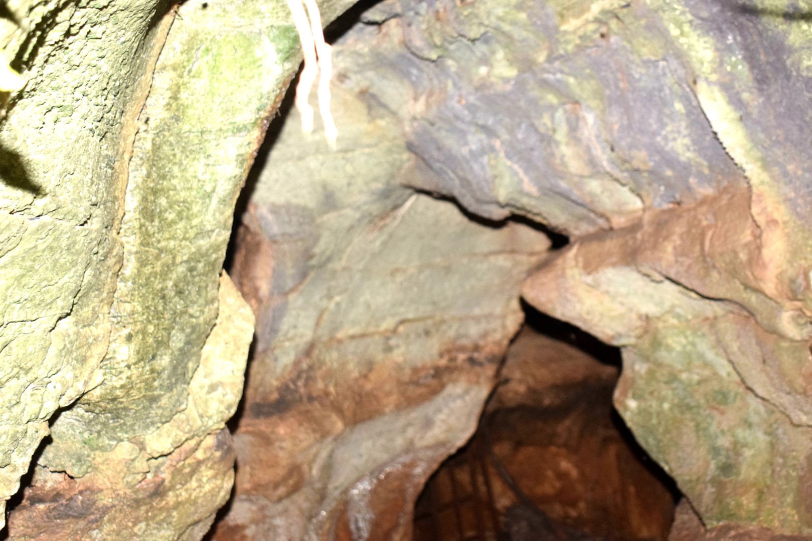
Name: Trail to the Pincinova Cave.
Place: Near Perci – (Tar).
Coordinates: Start trail 45.28787 N – 13.64183 E, Pincinova cave 45.28740 N – 13.63520 E.
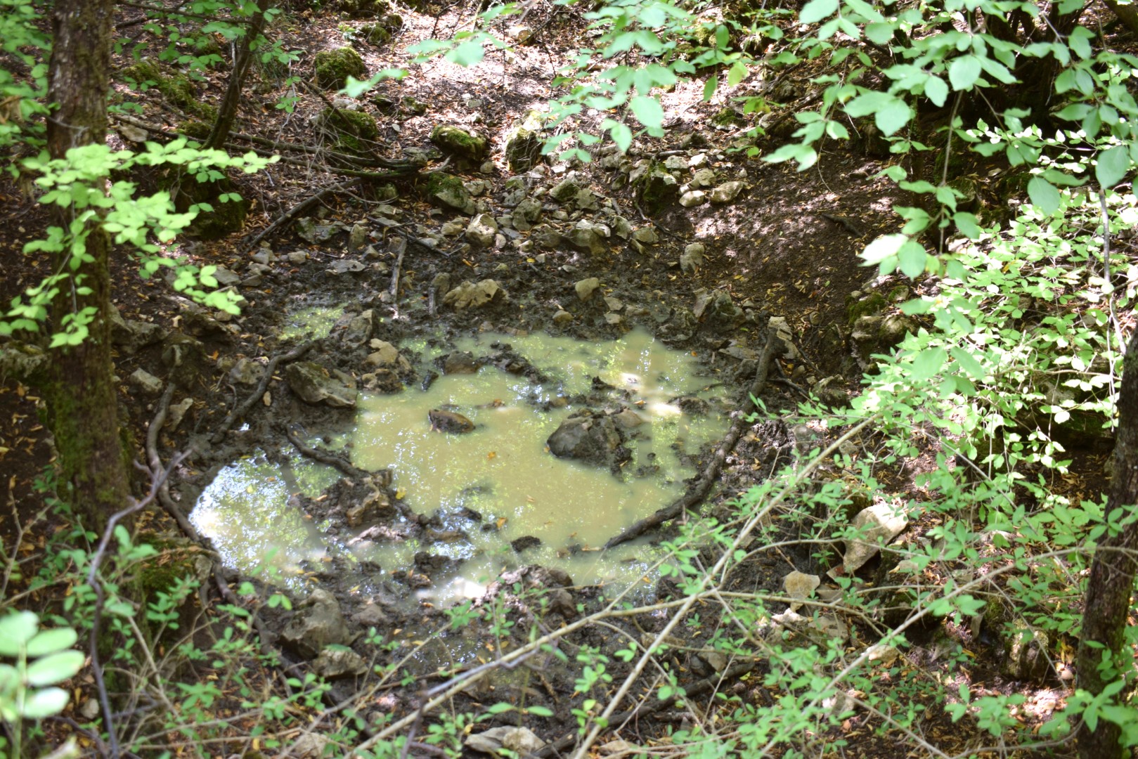
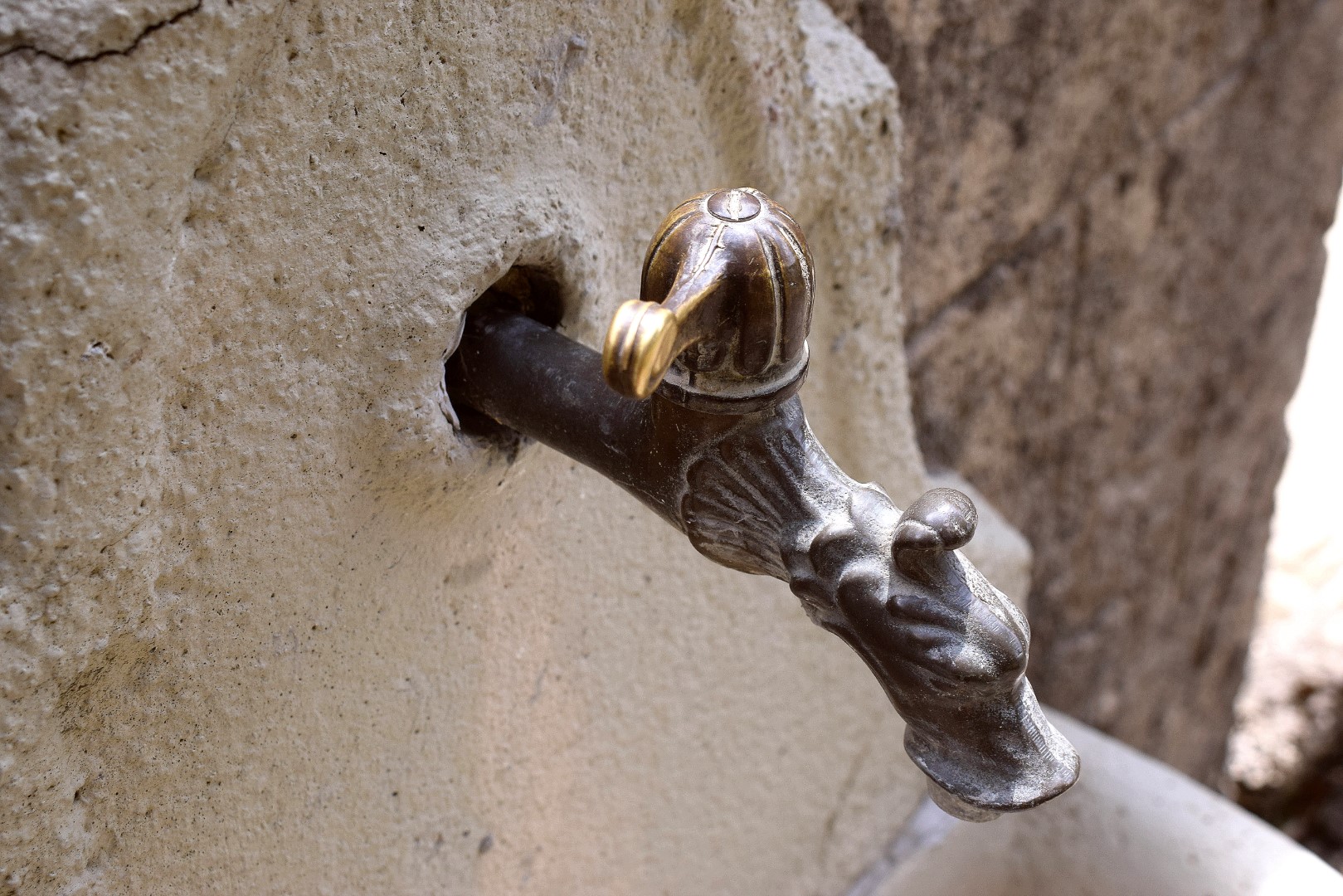
Name: Sitnica cave – water source near the villages Klis and Verbani,
Places: Klis – Verbani – (Vižinada).
Coordinates: 45.34328 N – 13.74433 E
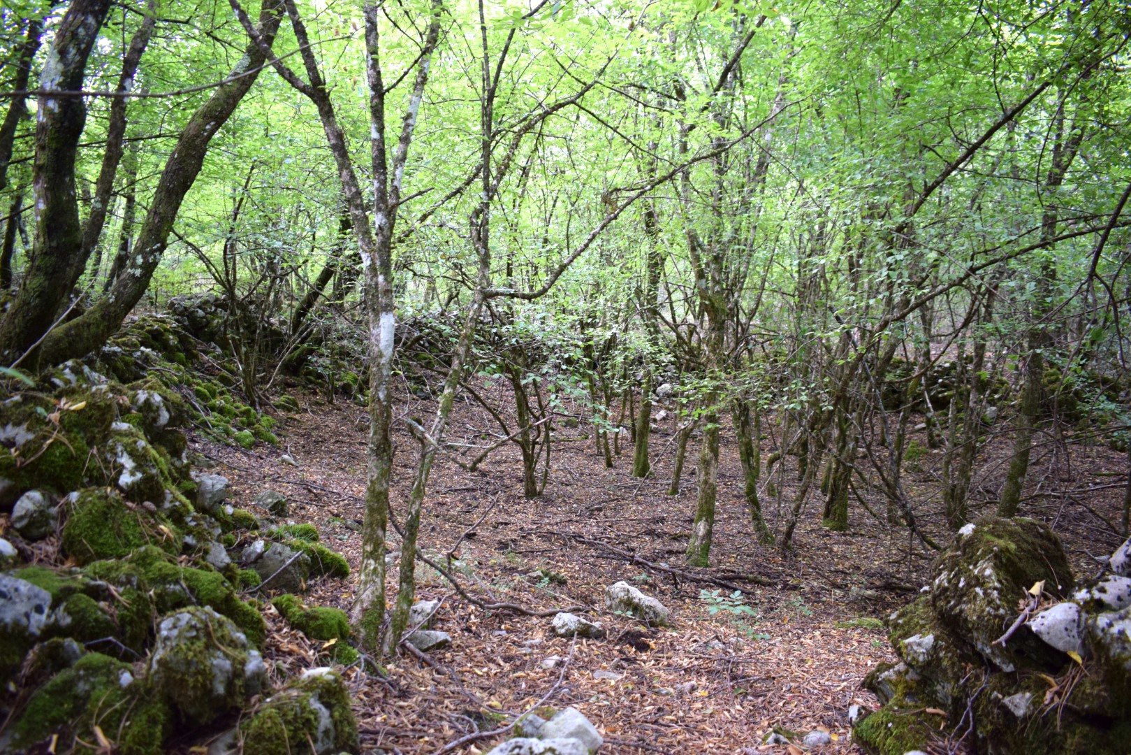
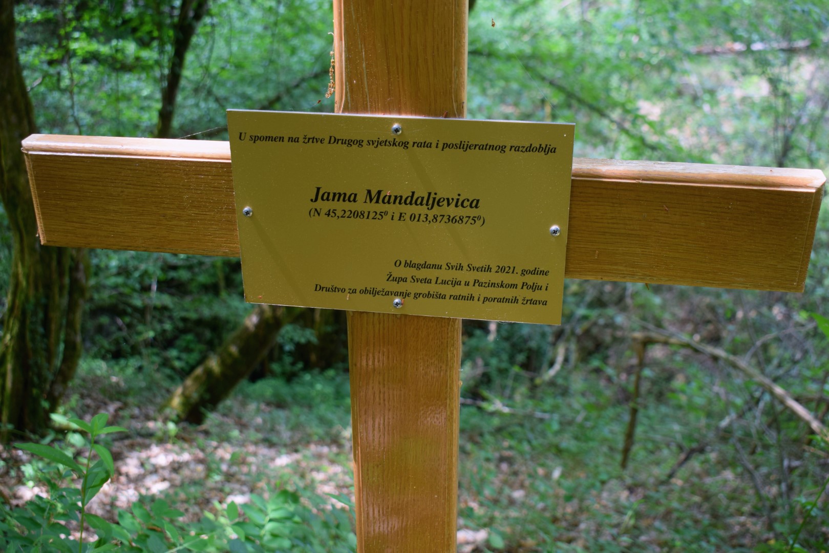
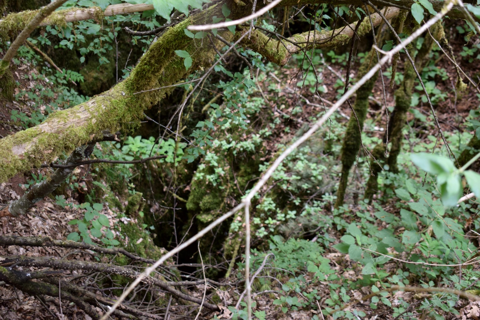
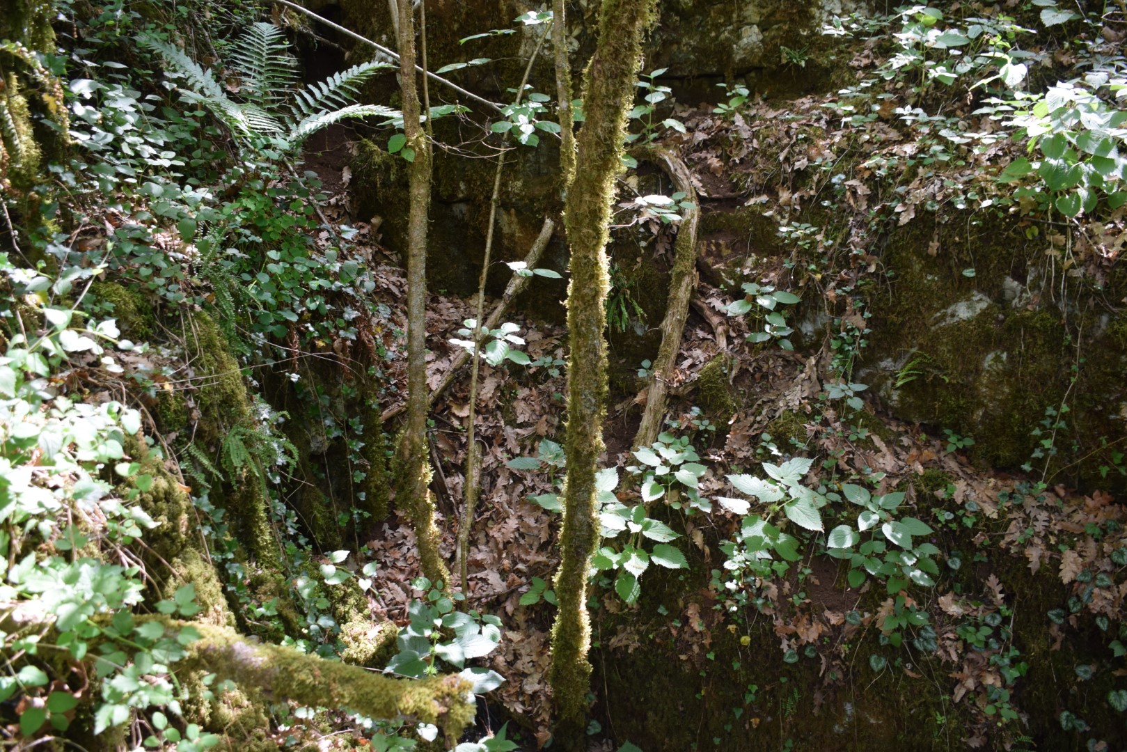
Name: Hiking trail from Mali Ježenj to the cave Brčanova to the village Veli Ježenj and the cave Siroćica
Place: Mali – Veli Ježenj – (Pazin).
Coordinates: Mali Ježenj 45.22521 N – 13.85279 E, Jjama Brčanova 45.23026 N – 13.86447 E, Jama Siroćica (Jama Mandaljevica) 45.220951 N – 13.87404 E.