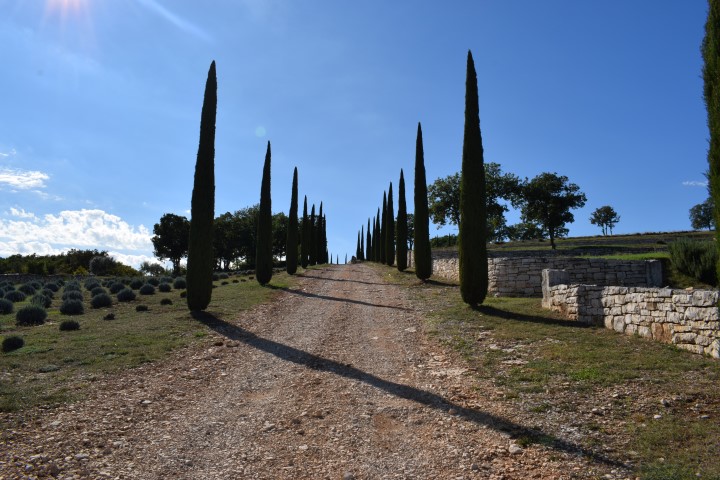
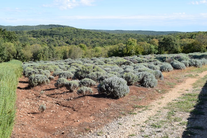
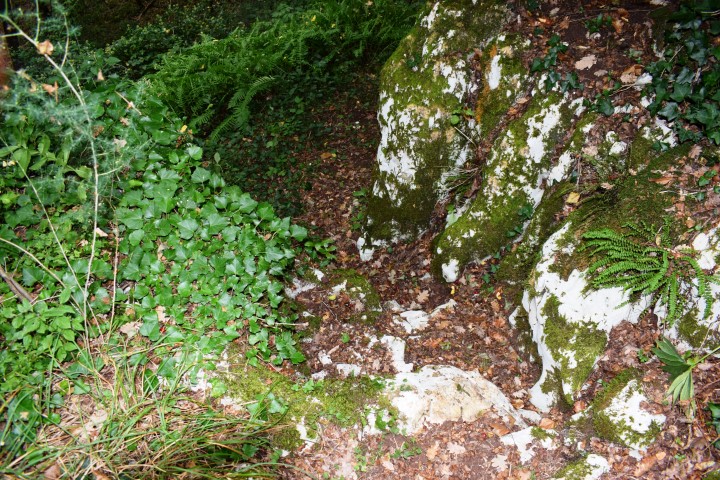
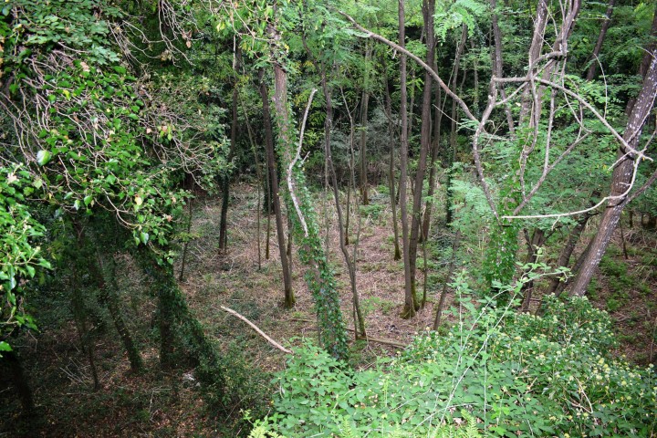
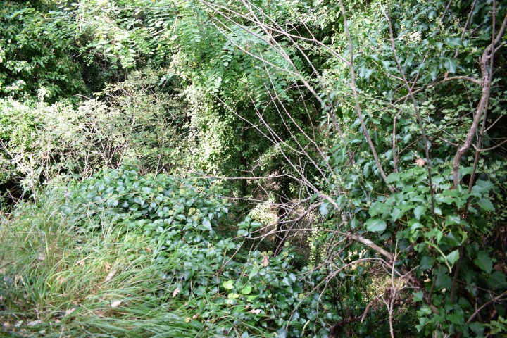
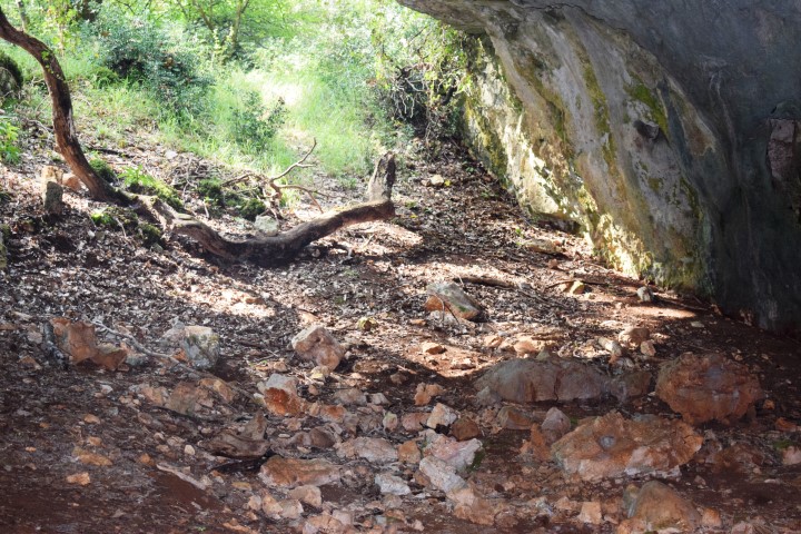
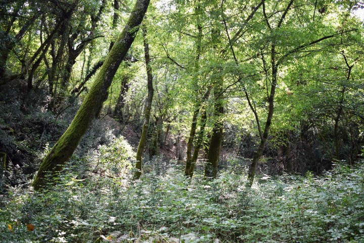
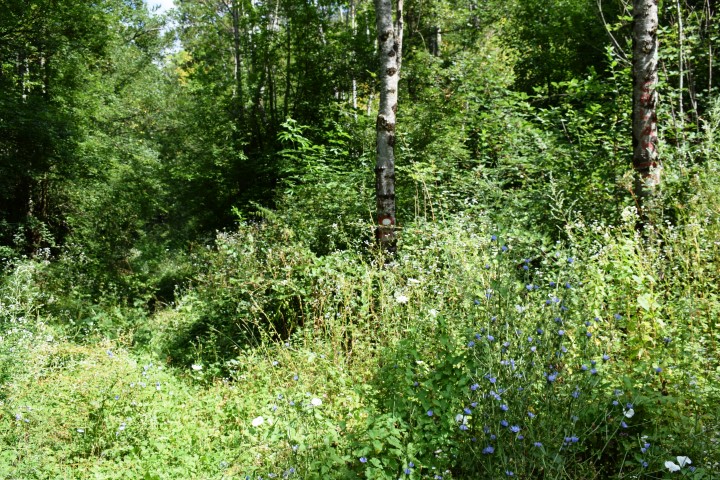
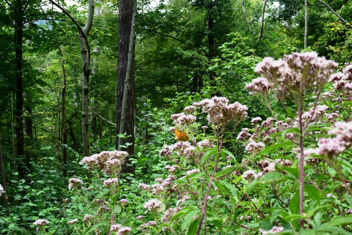
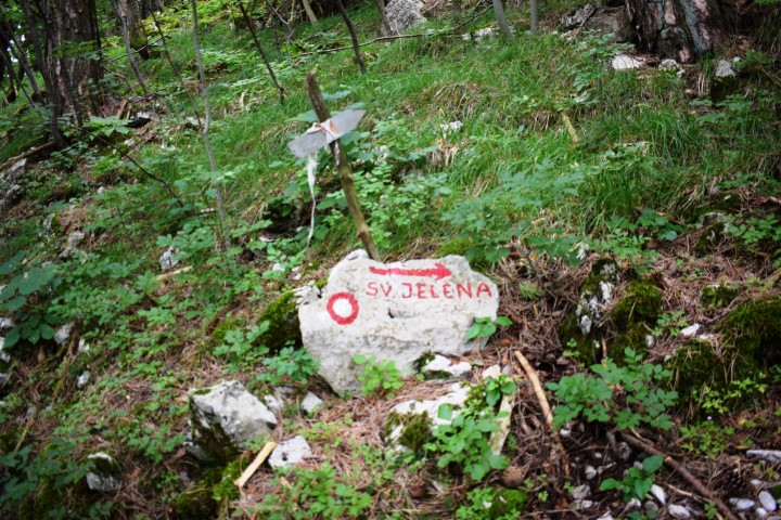
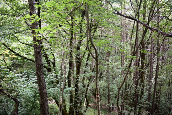
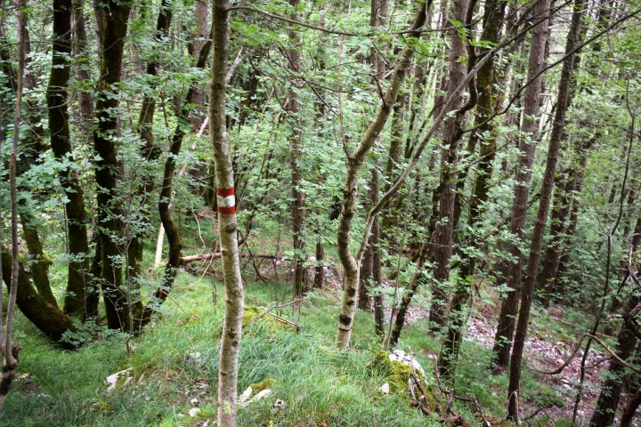
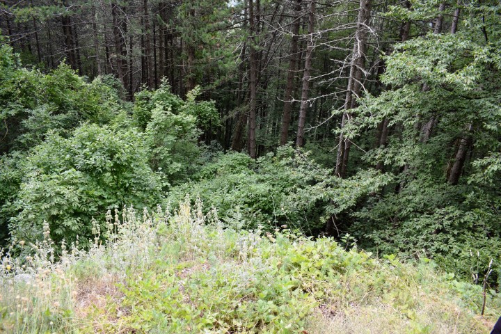
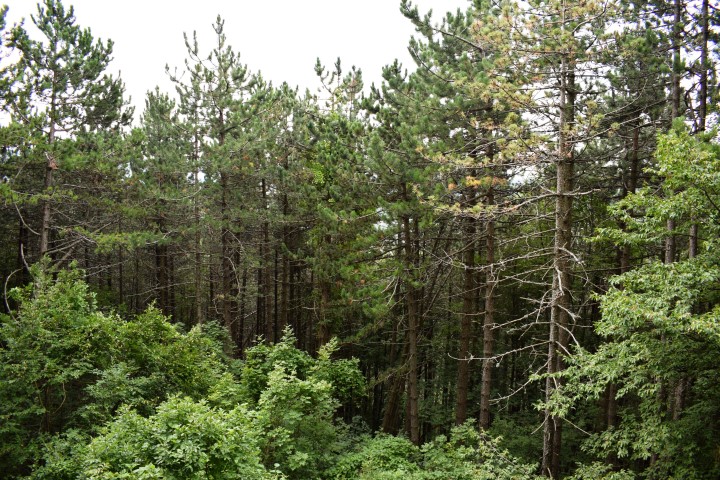
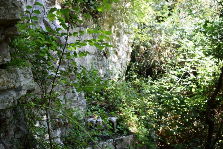
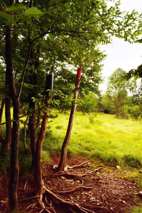
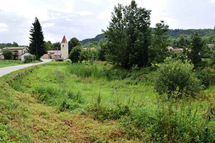
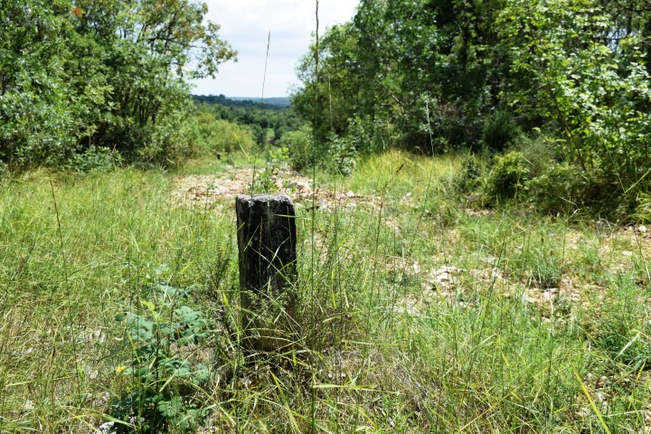
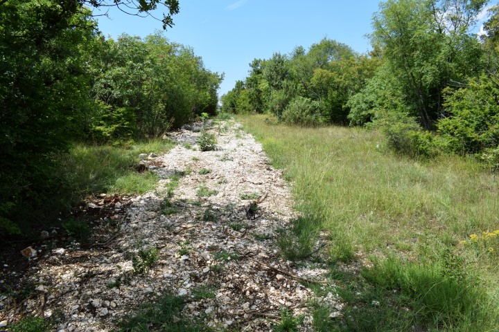
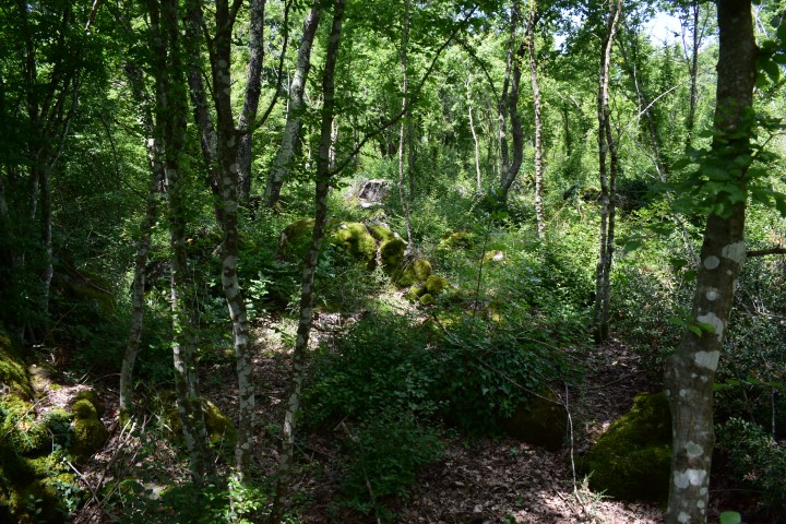
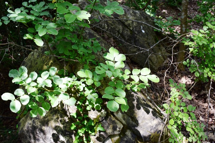
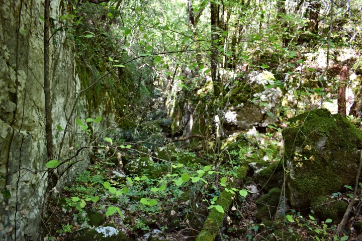
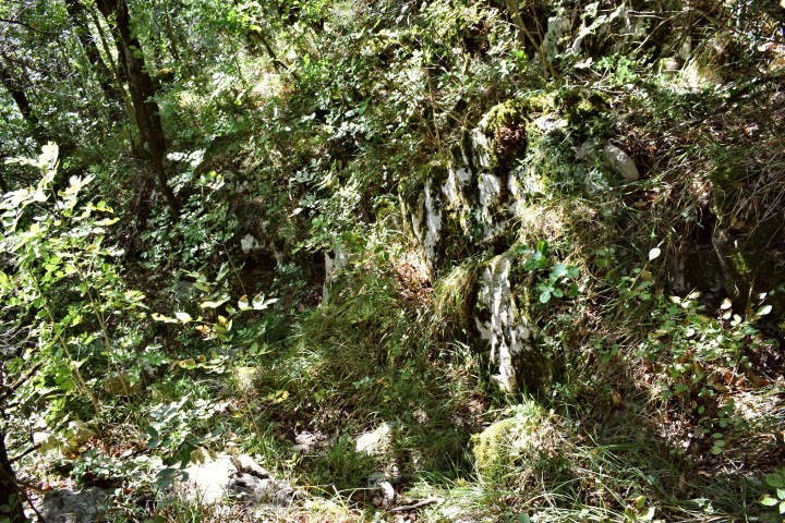
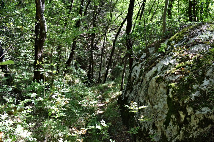
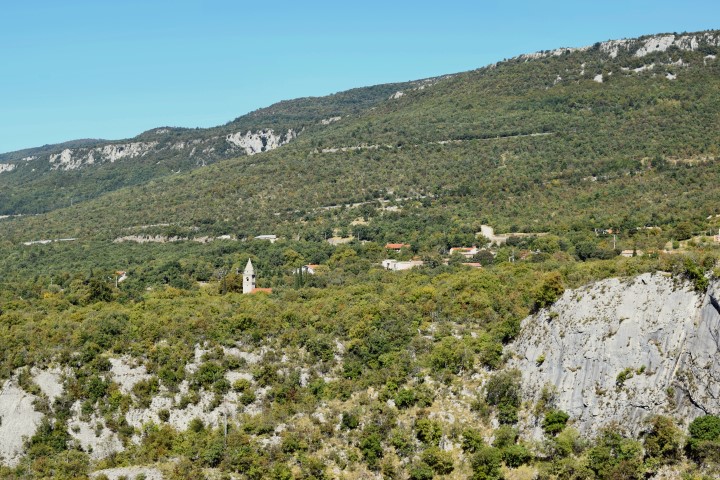
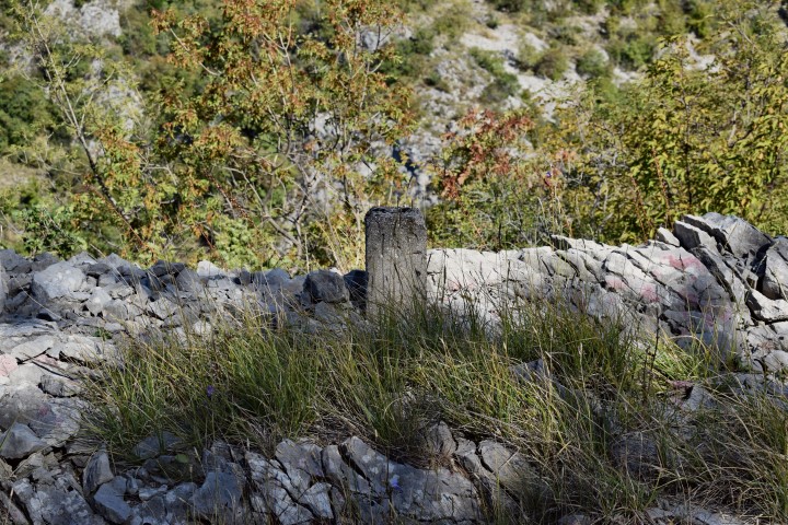
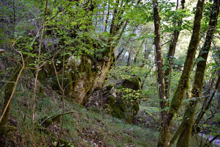
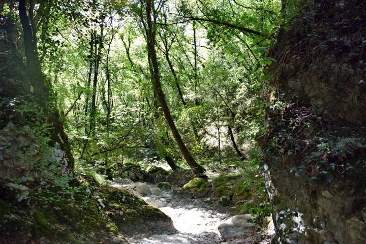
This hiking path starts near the village Baričeviće: 45.31660 N -14.15137 E. Entrance forest path: 45 .31590 N – 14.15146 E.
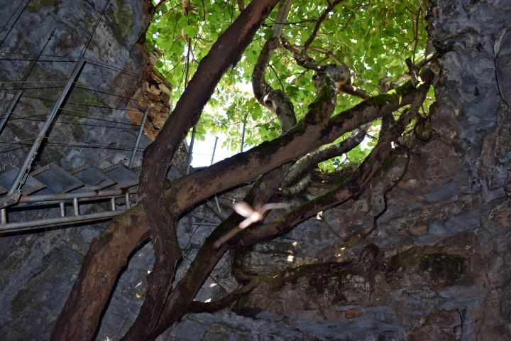
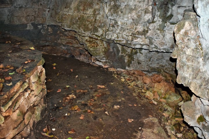
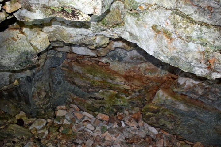
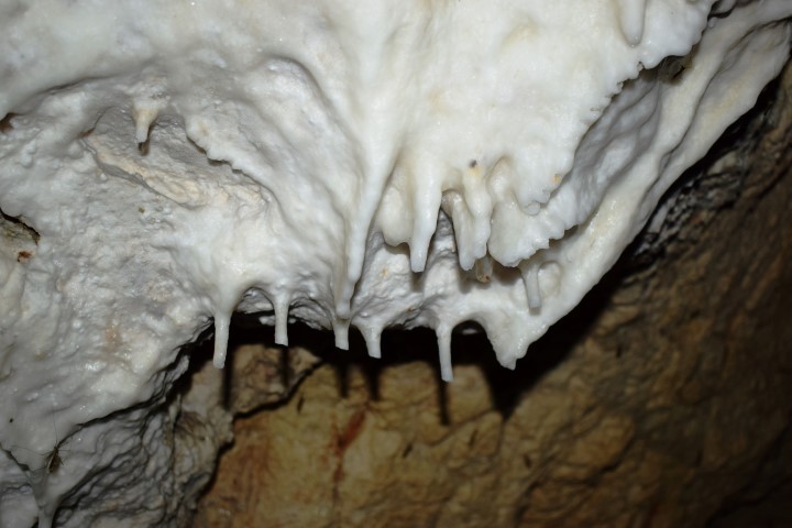
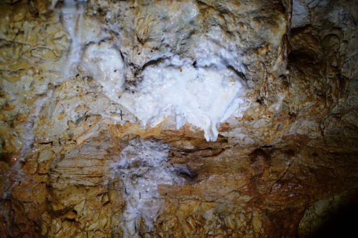
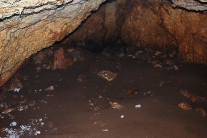
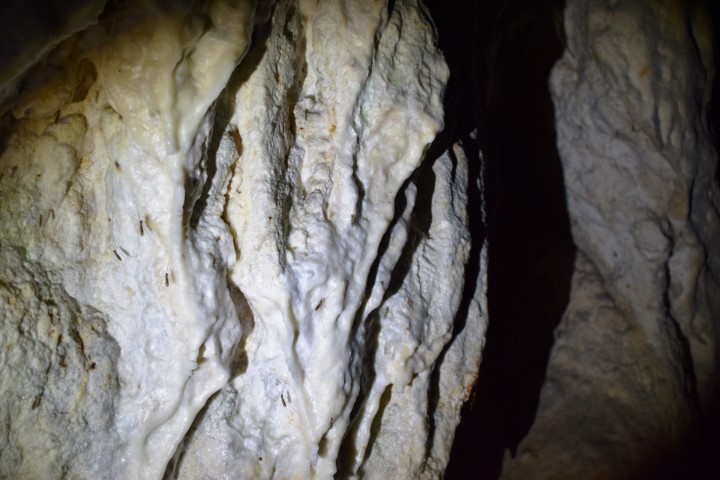
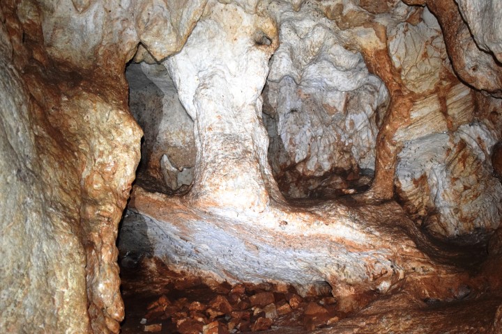
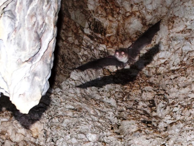
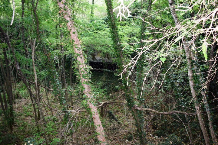
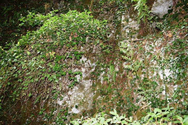
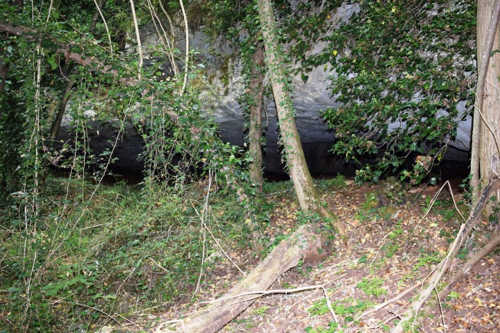
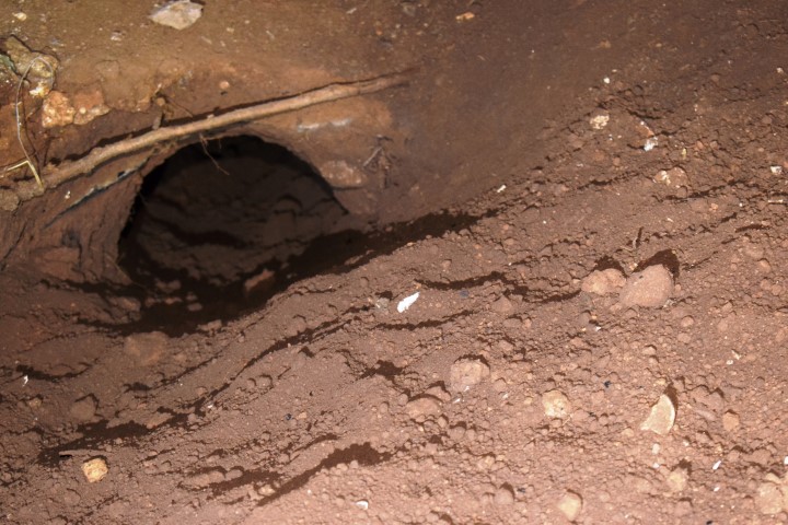
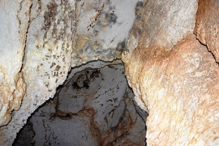
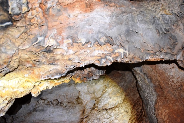
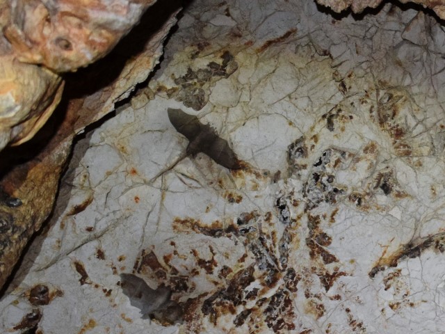
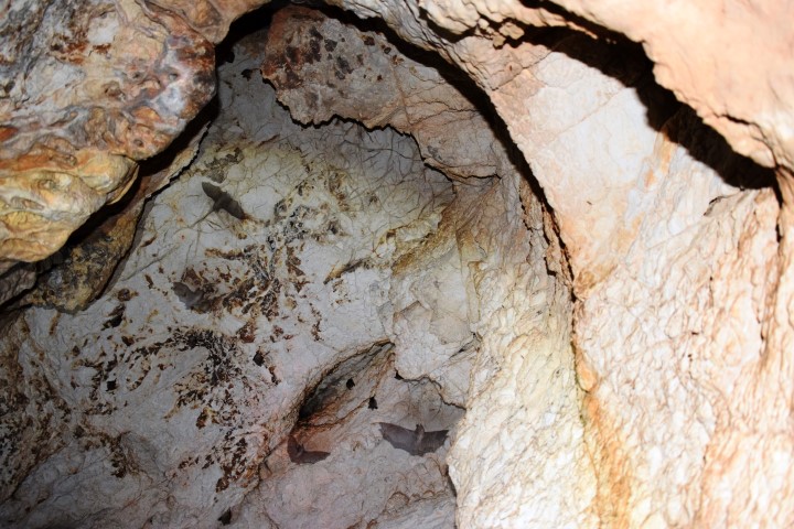
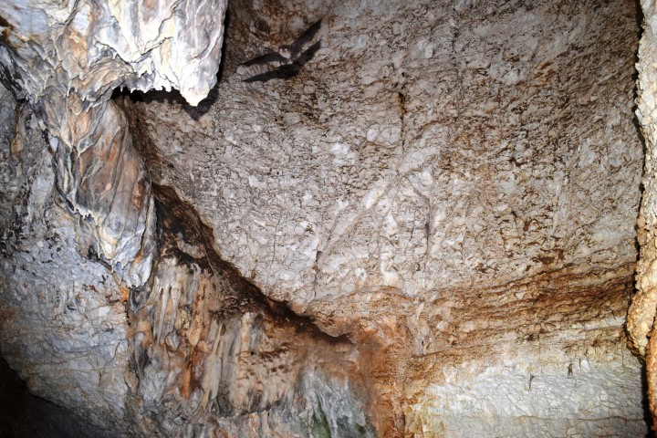
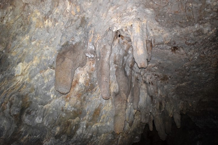
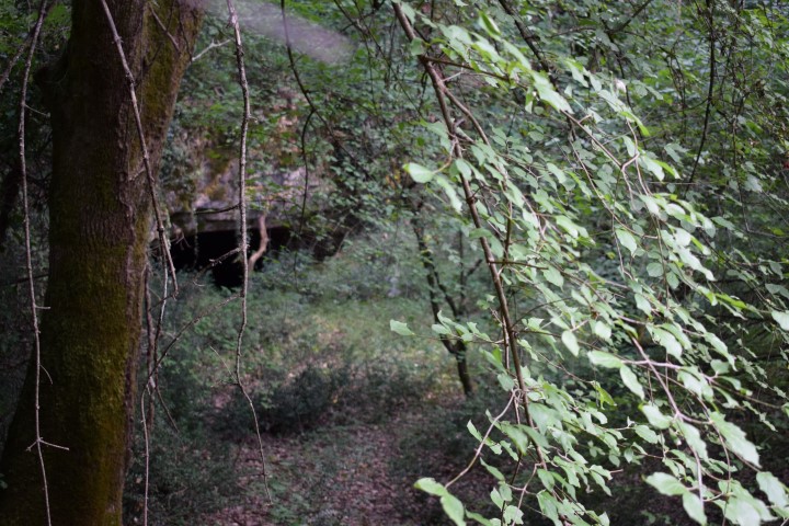
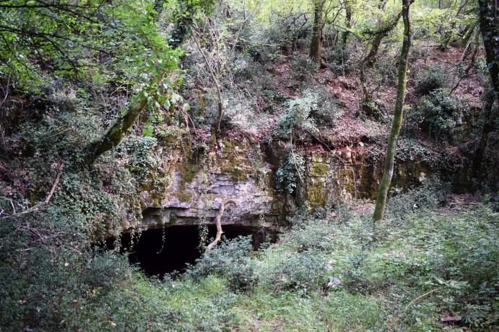
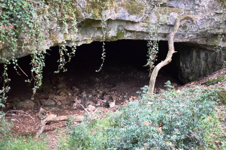
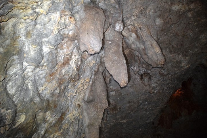
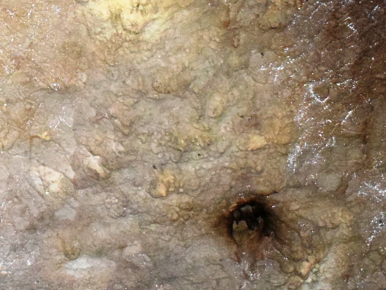
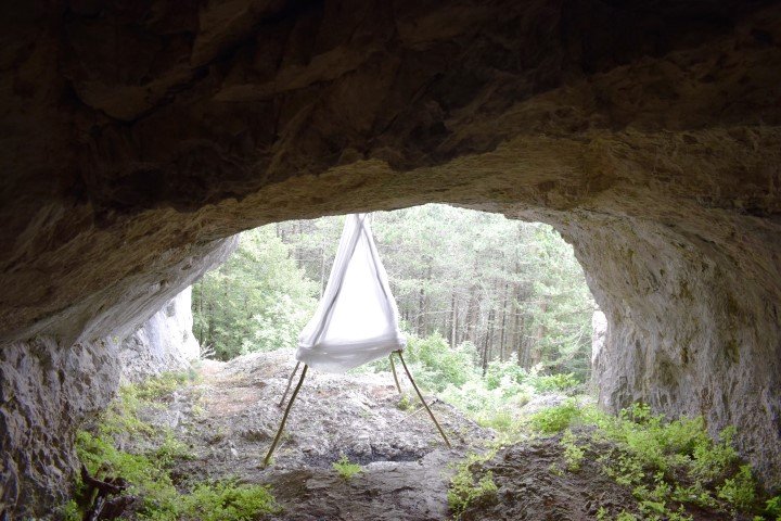
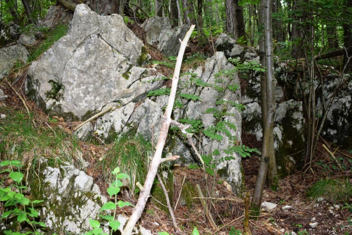
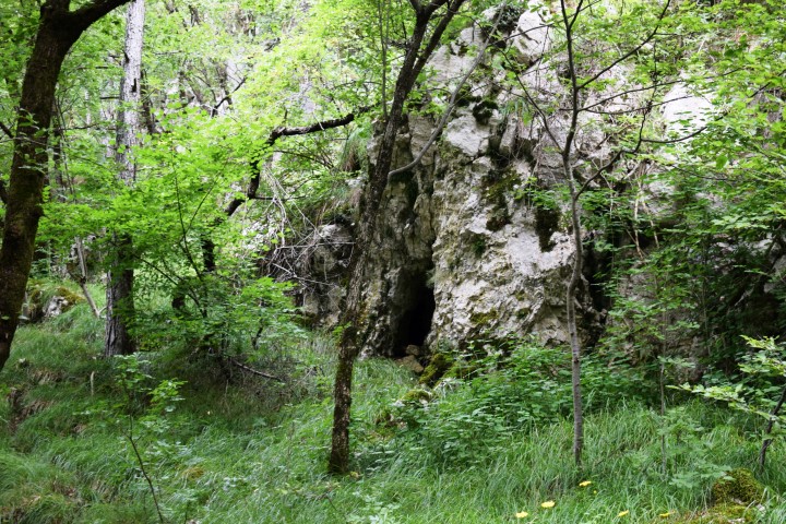
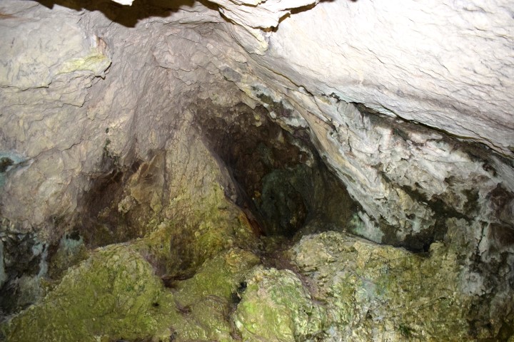
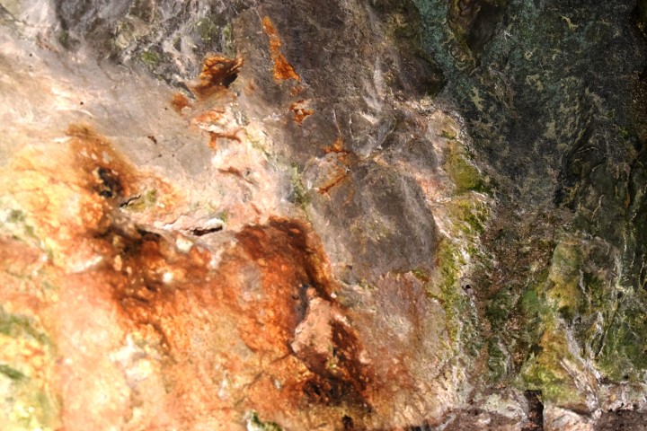
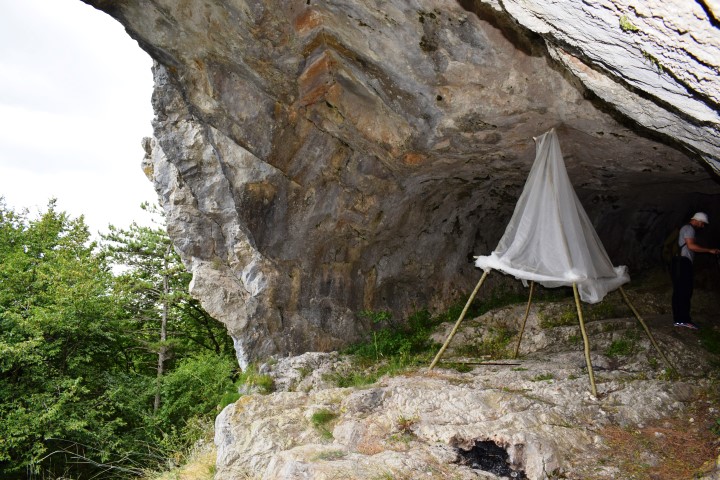
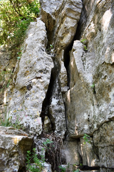
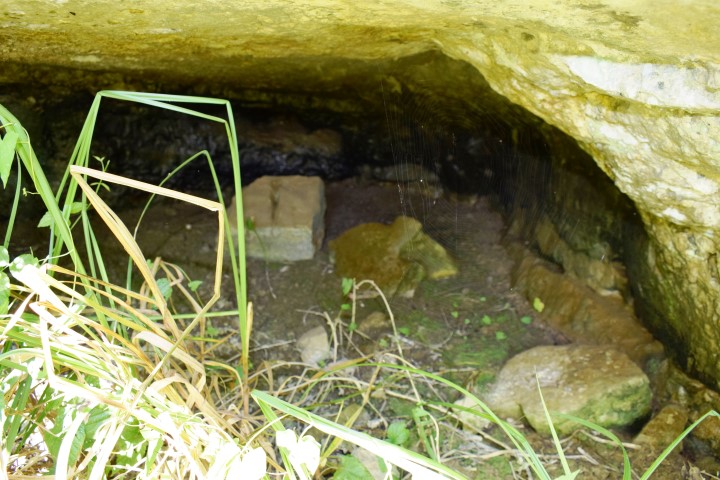
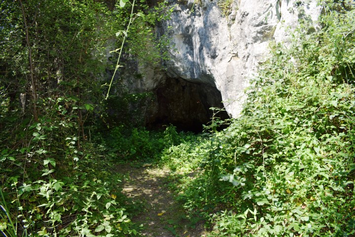
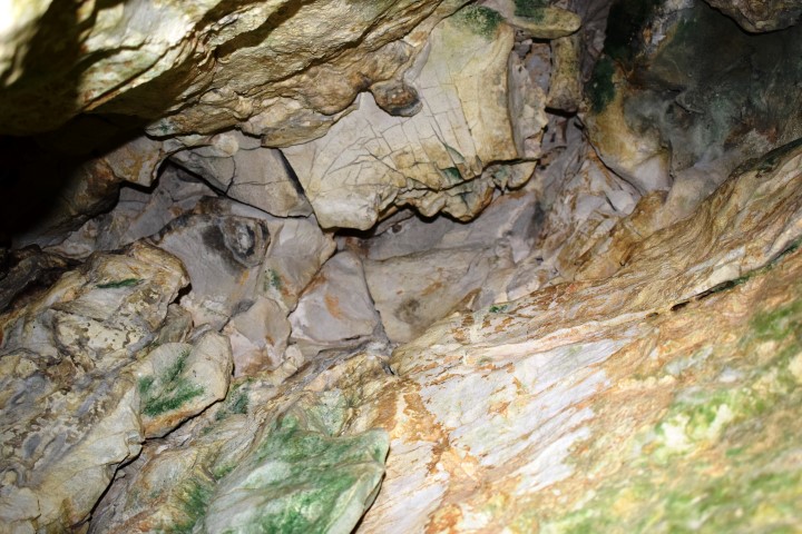
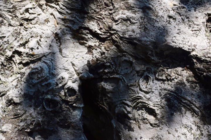
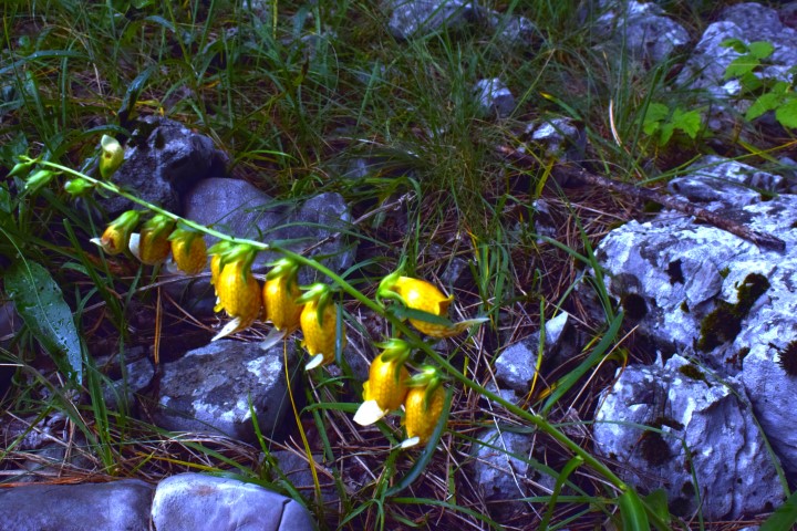
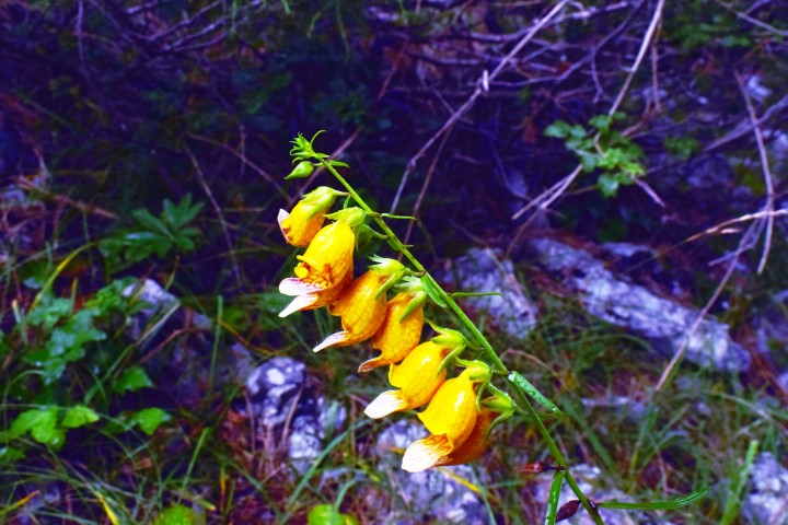
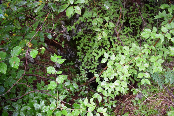
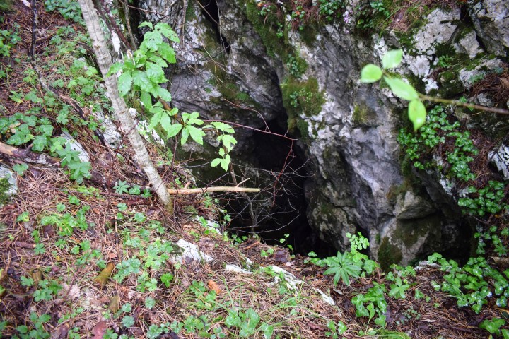
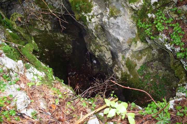
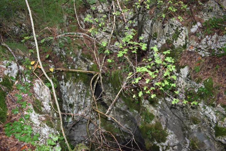
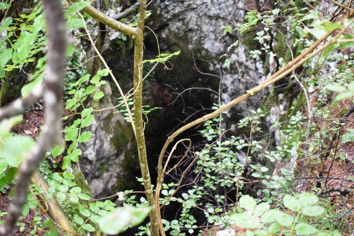
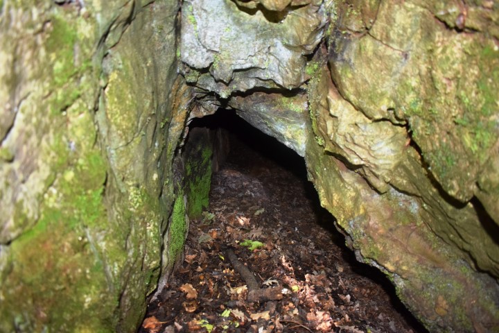
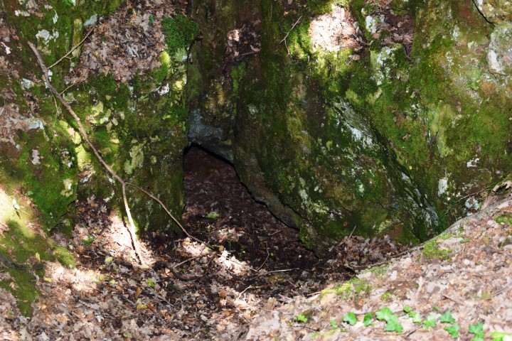
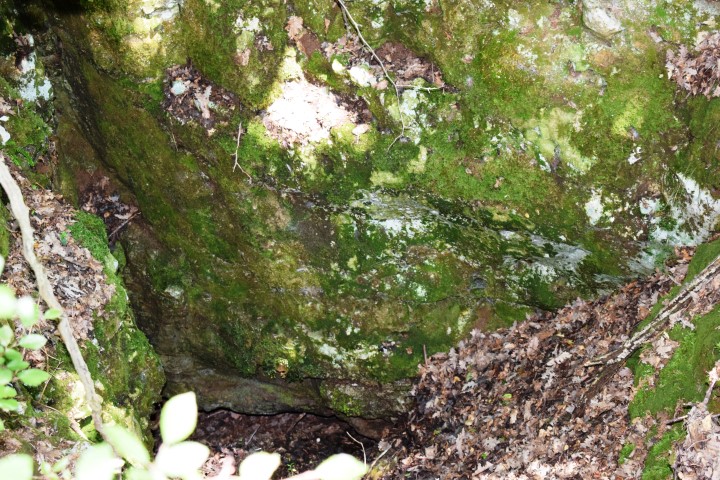
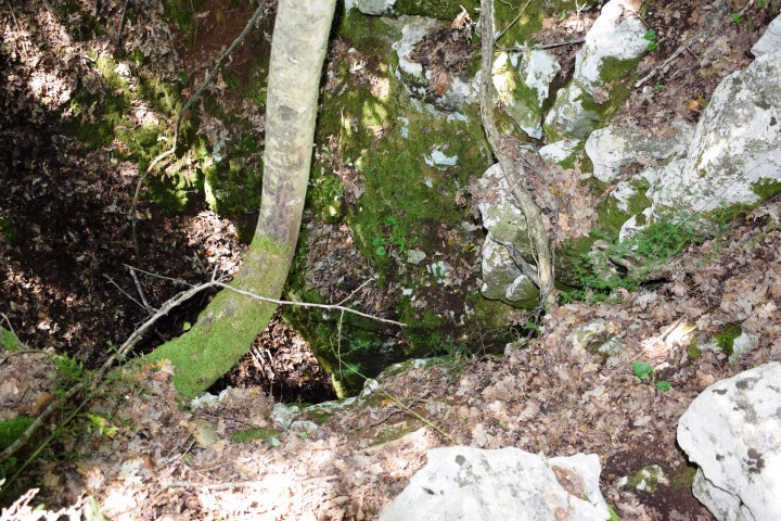
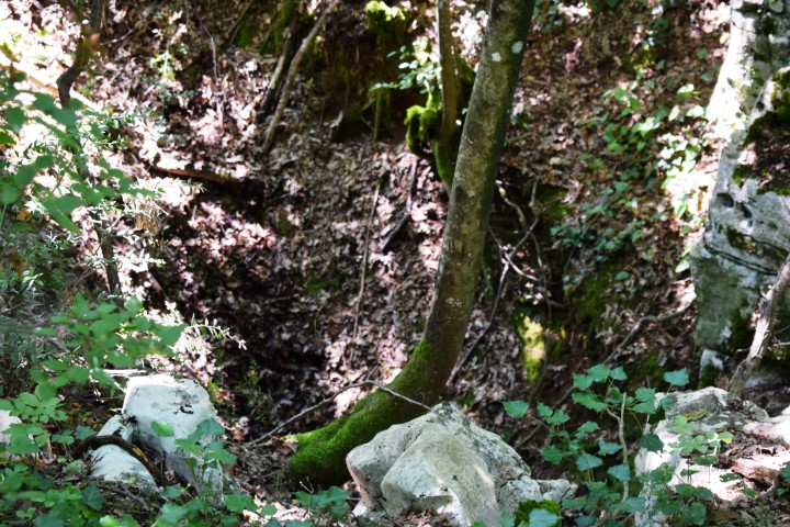
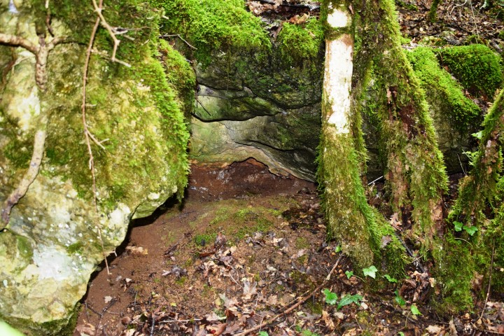
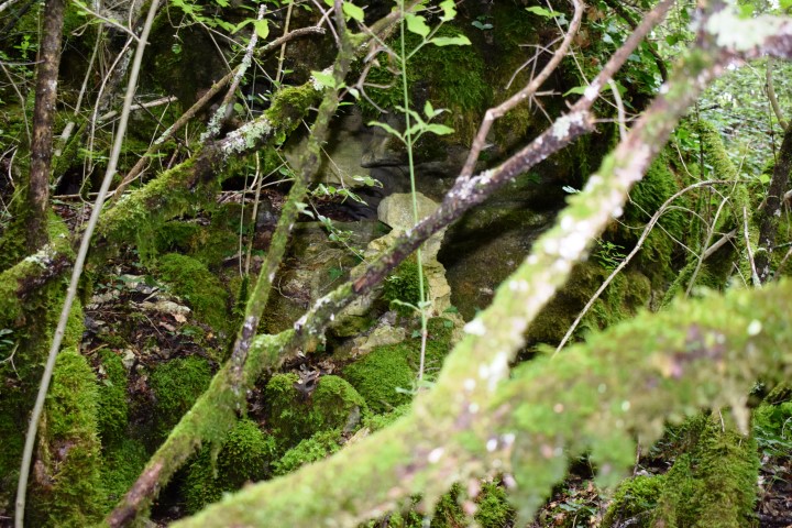
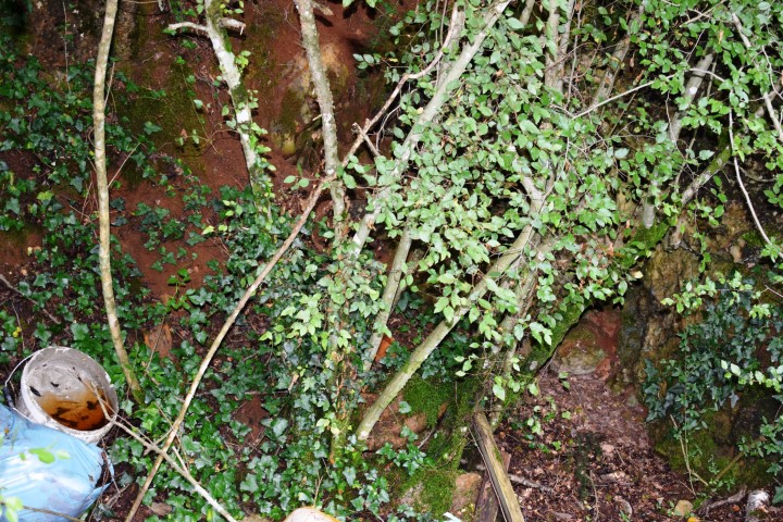
Cave near the crossing of the streams Veladraga and Crnjak: 45.31363 N – 14.15347 E.
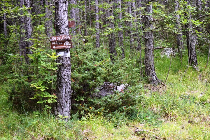
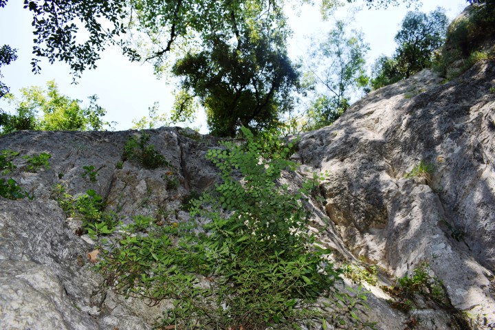
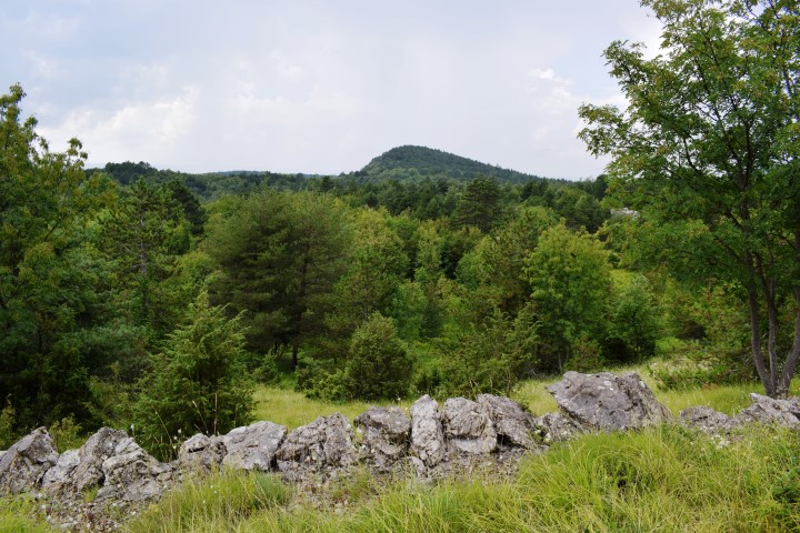
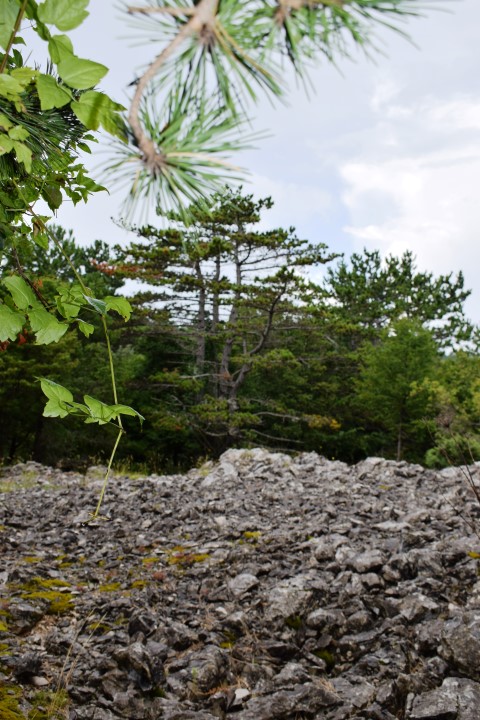
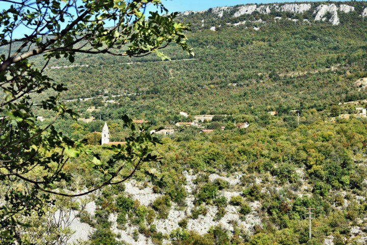
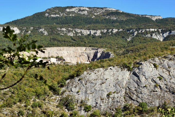
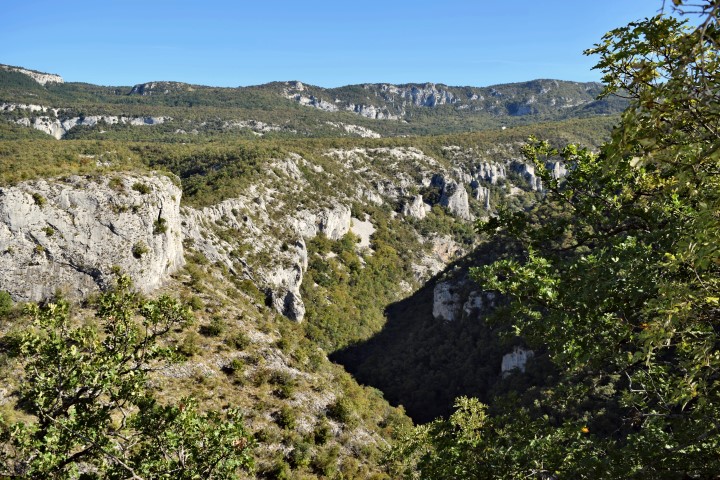
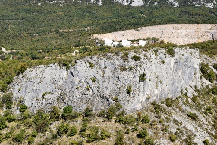
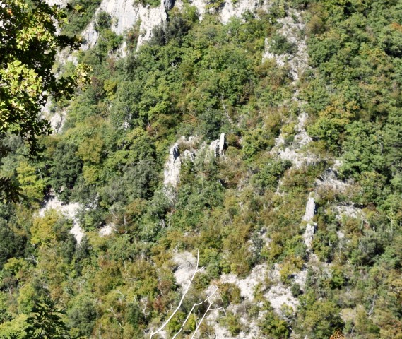
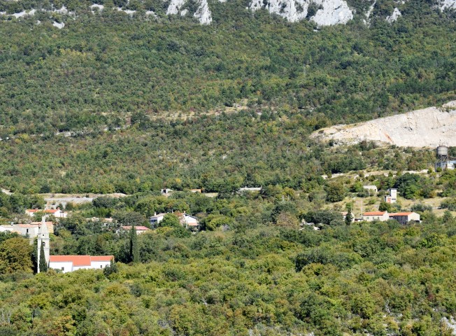
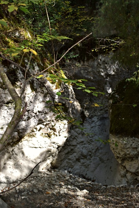
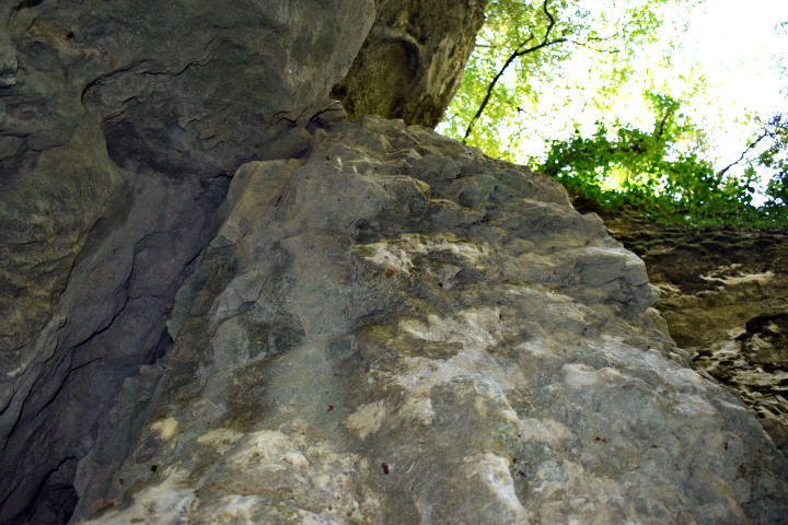
After following the path is on the top the railway from Lupoglav to Rasa with a view over the Vela Draga canyon.
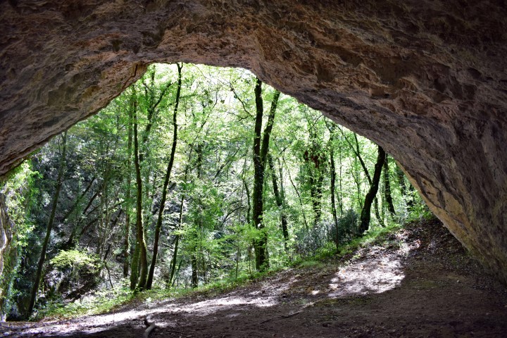

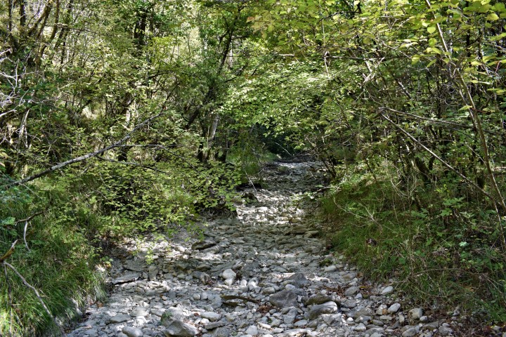


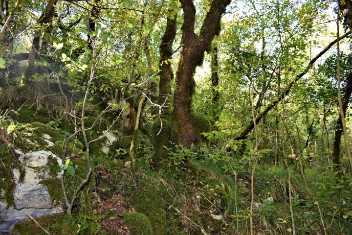
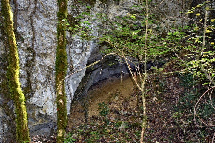
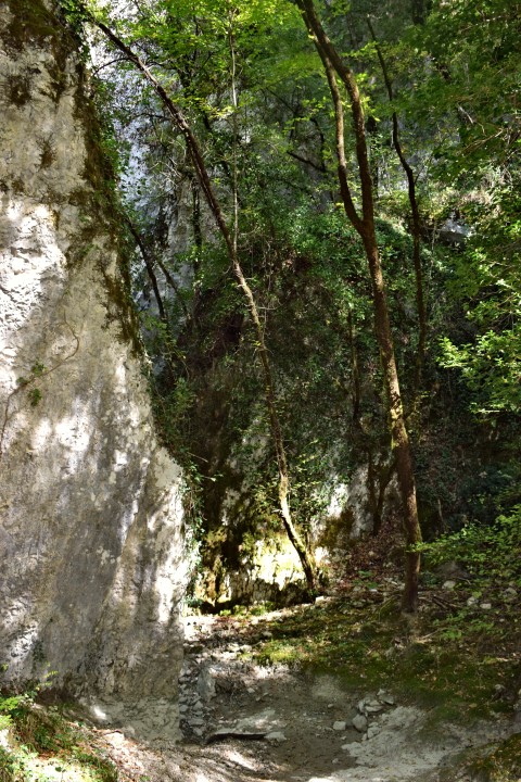

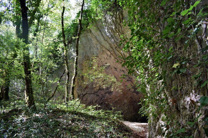
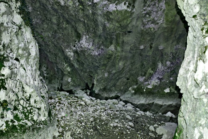
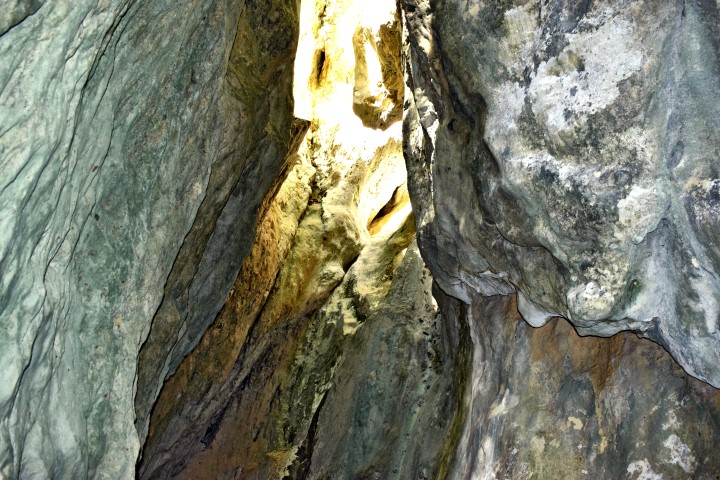
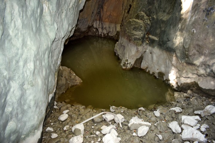
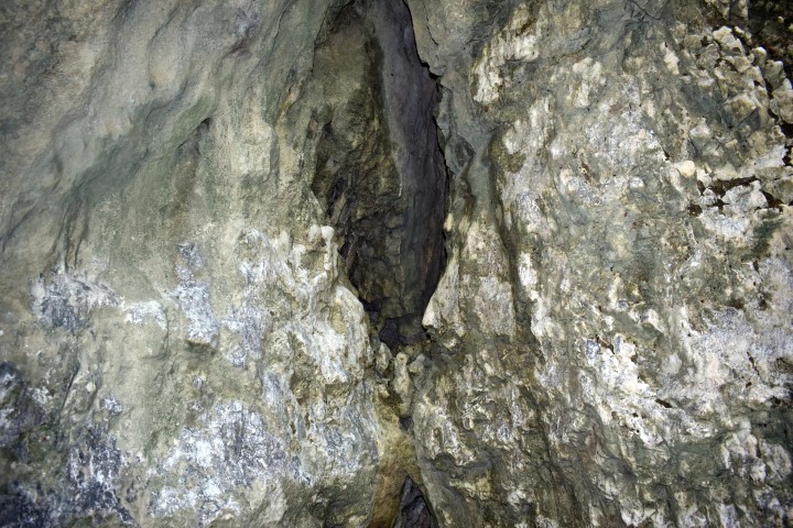
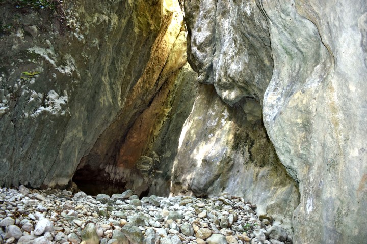
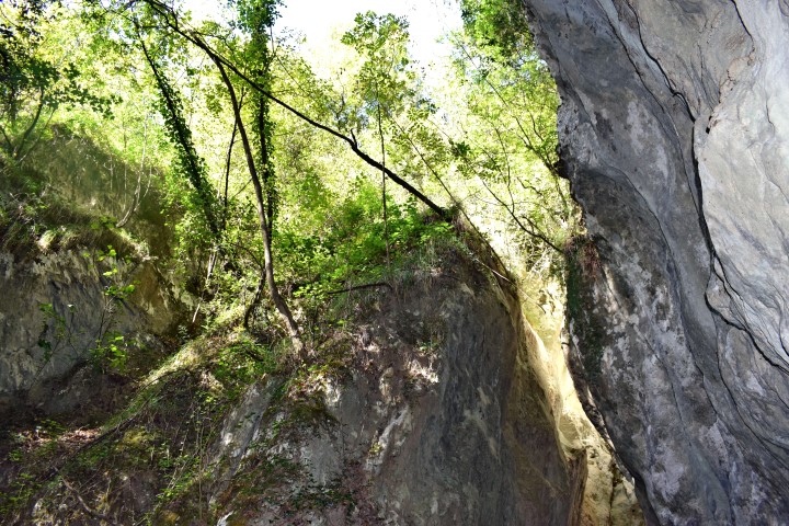

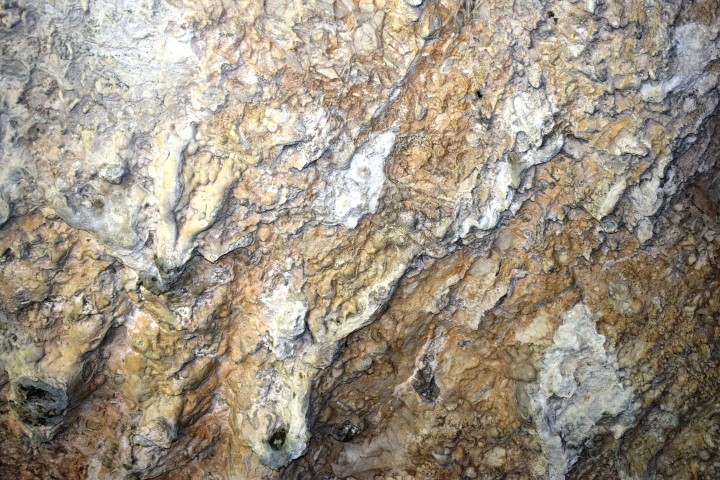

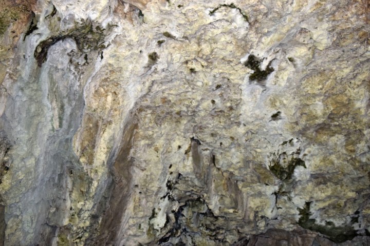
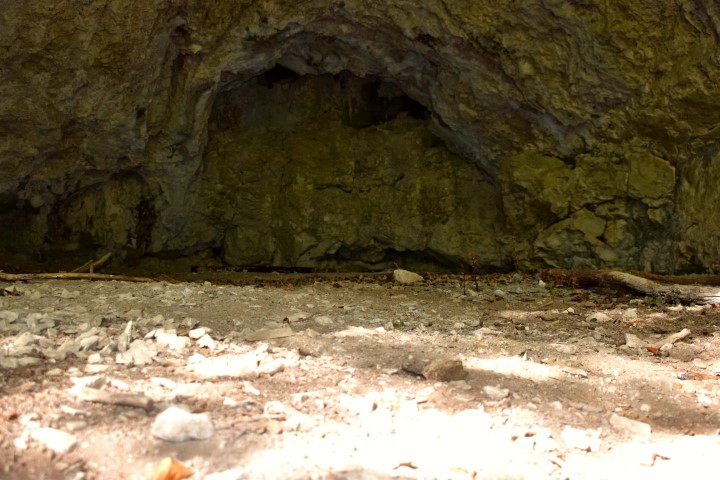
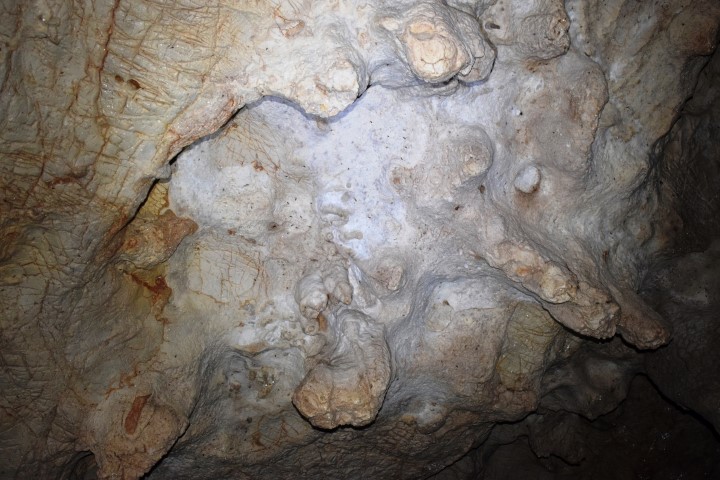
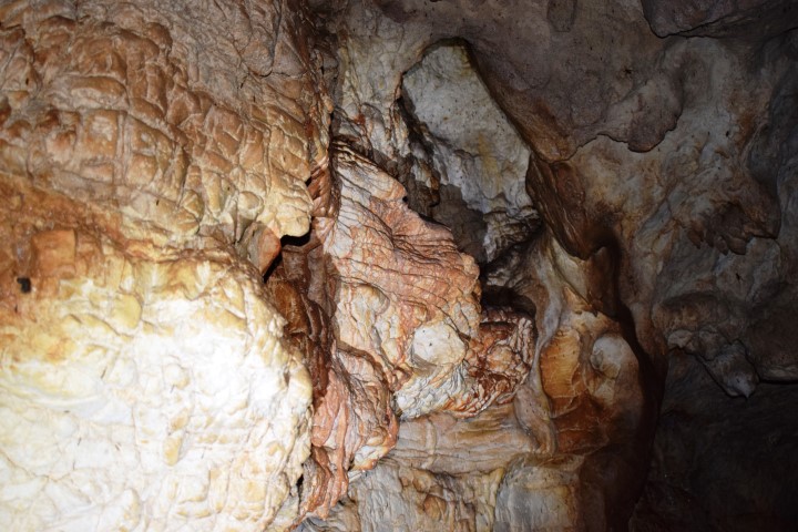
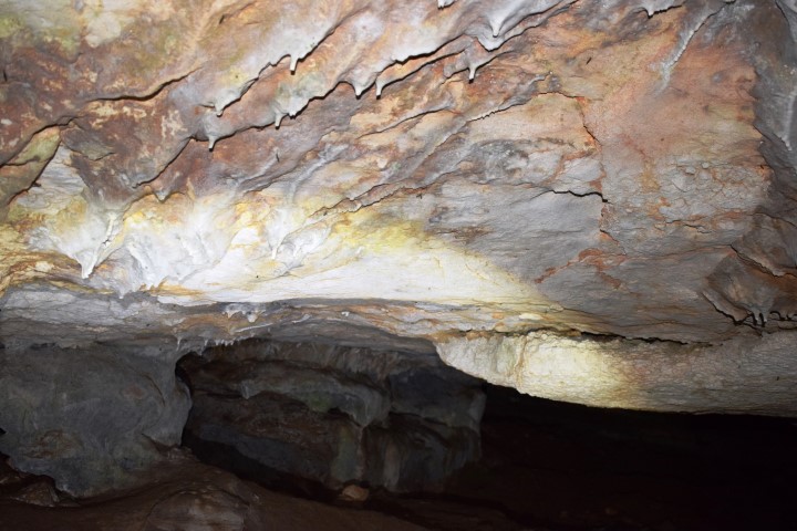
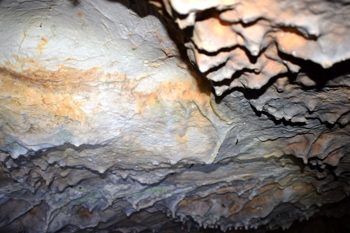
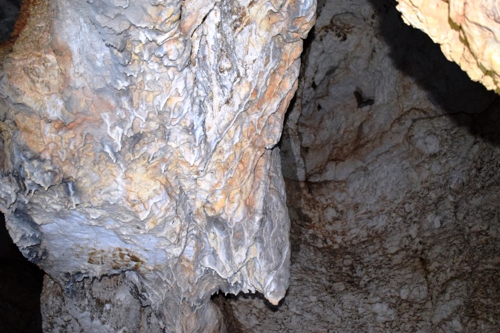
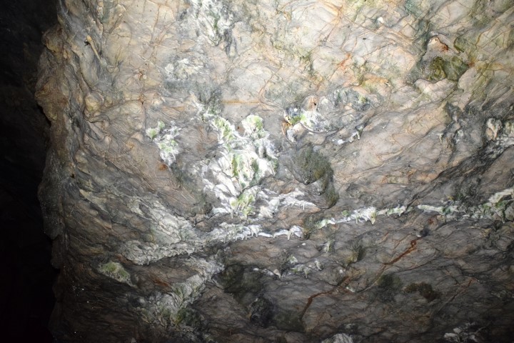
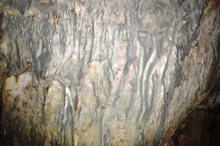
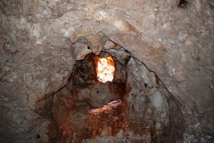
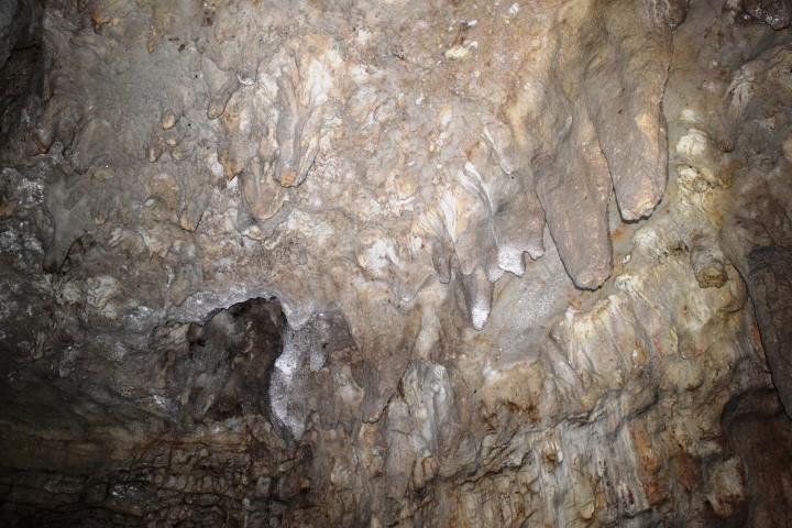
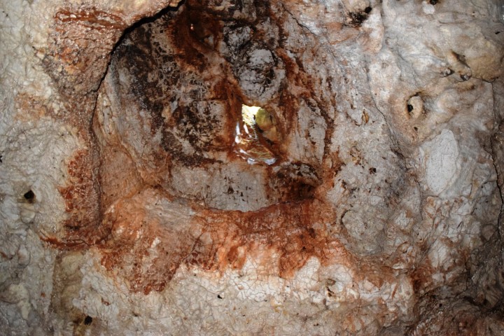
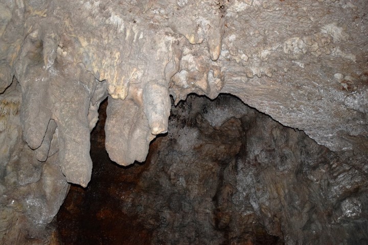
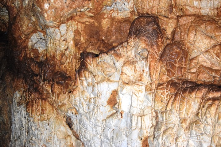
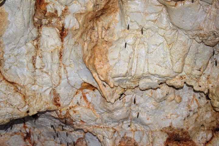
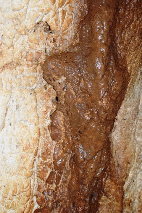
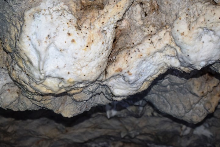
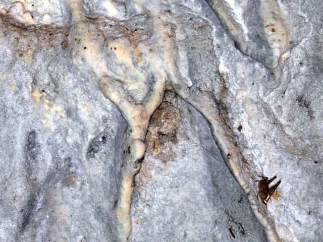
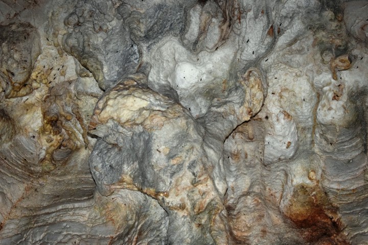
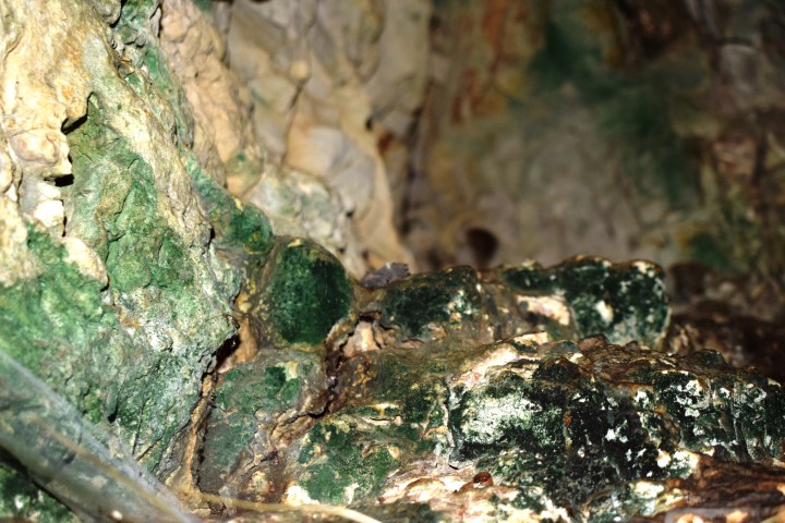
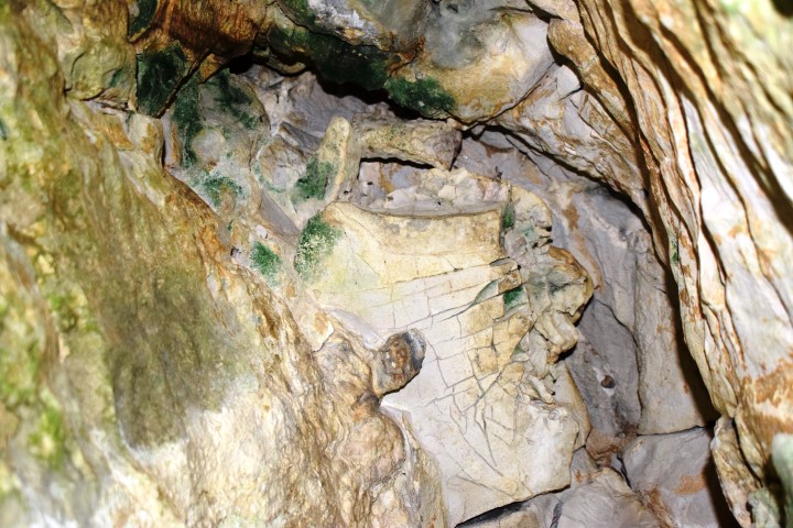
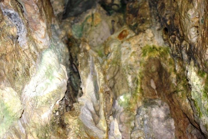
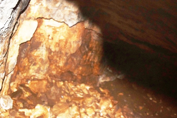
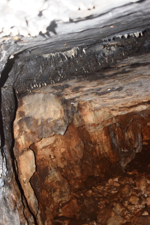
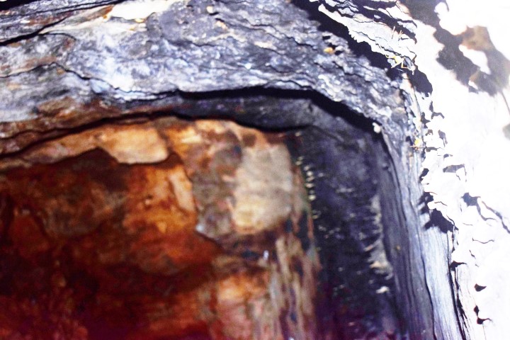
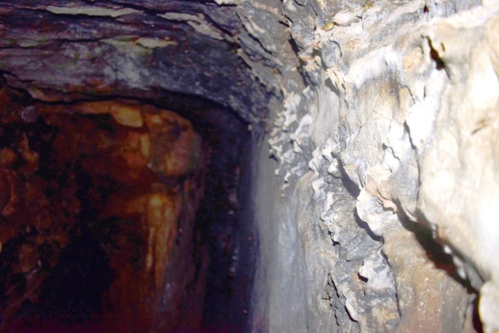
Name: Cave Vela Draga near crossing of the streams Veladraga en Crnjak.
Place: Baričevići – Učka