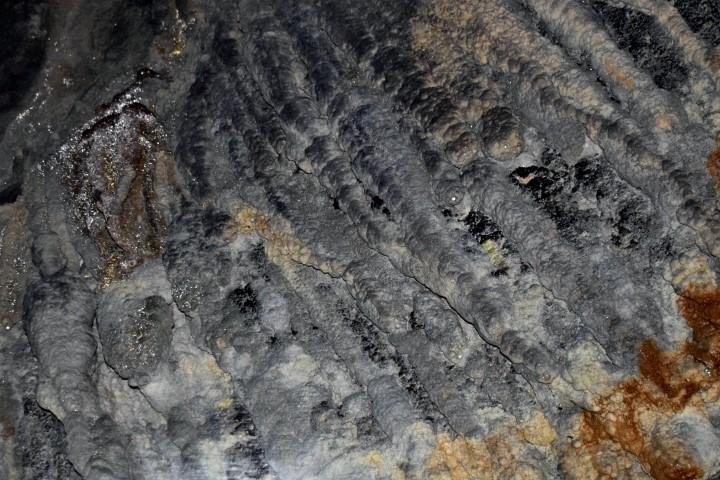
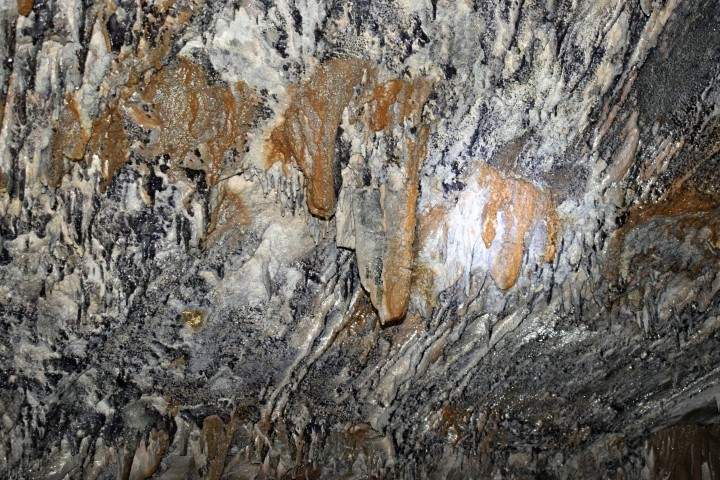
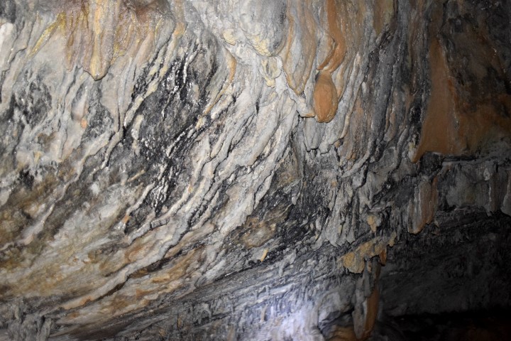
Caves
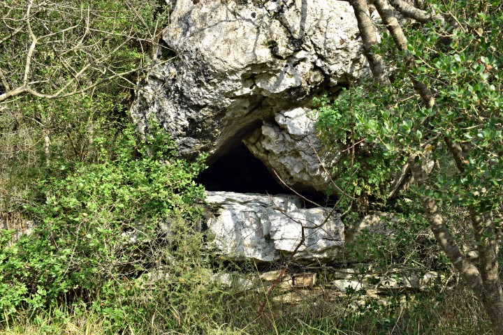
Cave near Brest Pod Učkom

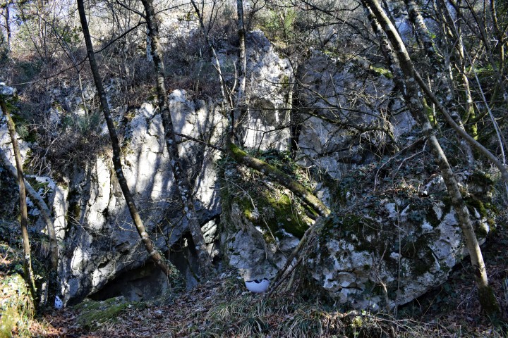


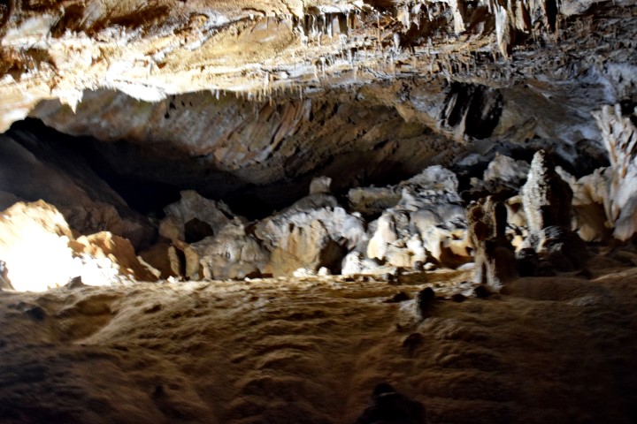
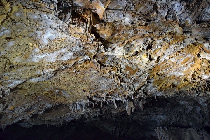
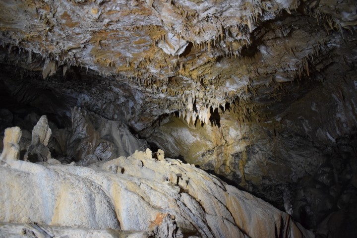
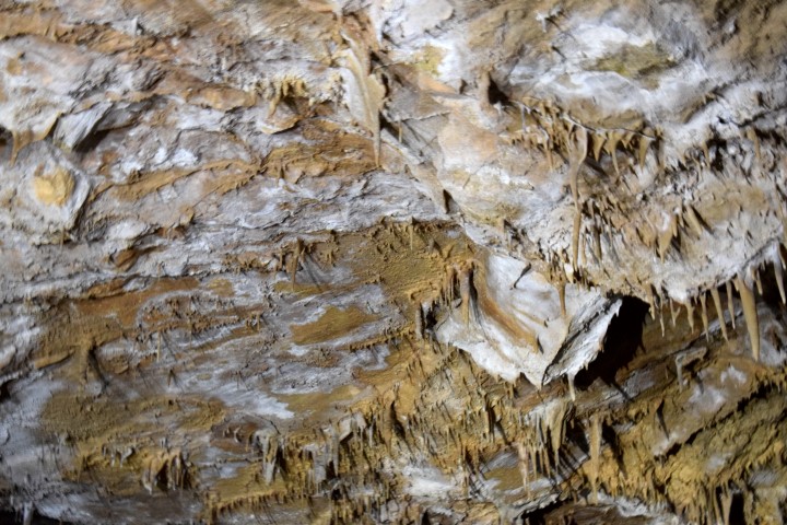


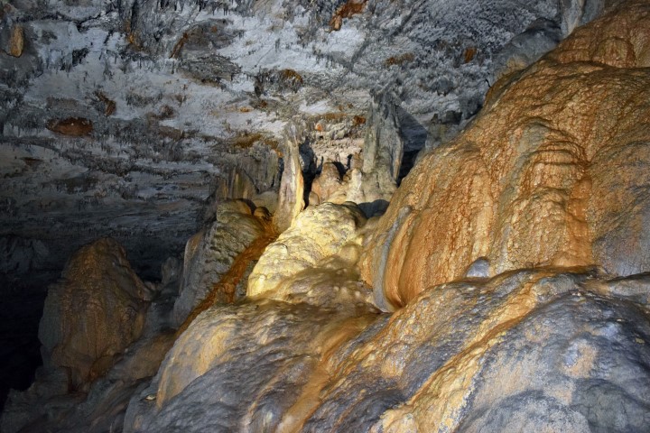


Name: Cave near Brest Pod Učkom.
Place: Near Brest Pod Učkom.
Coordinates: 45.33319 N – 14.15816 E (more…)
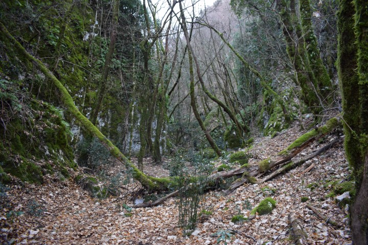
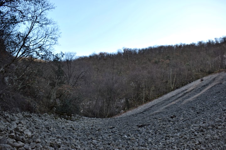
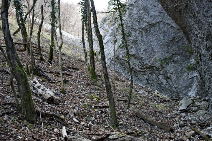
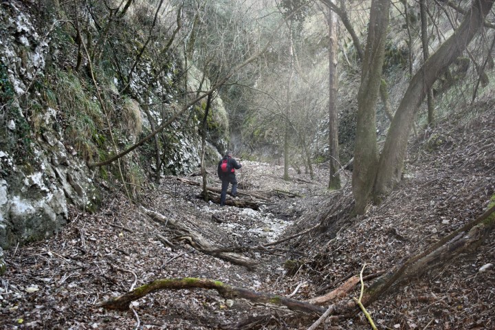
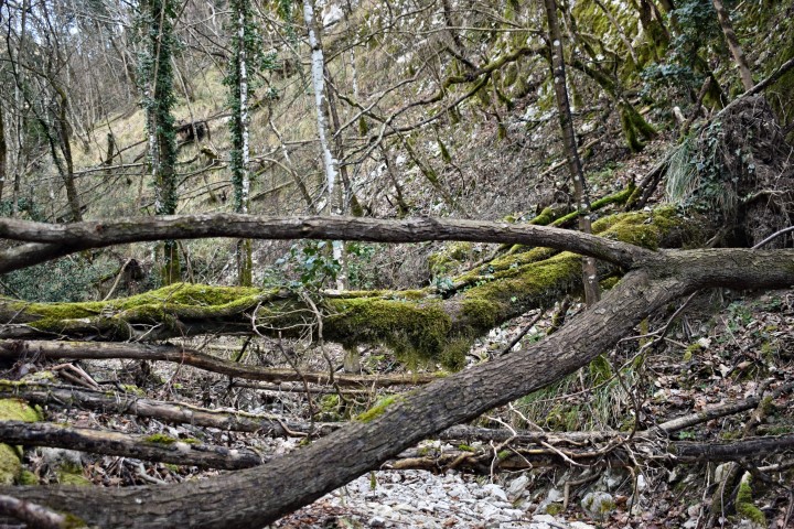
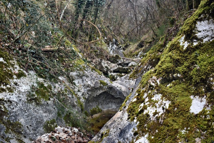
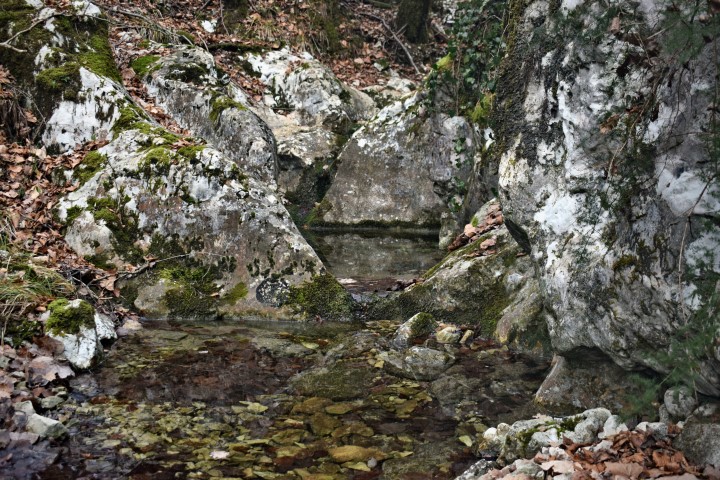
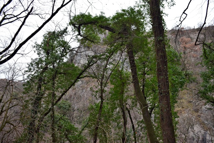
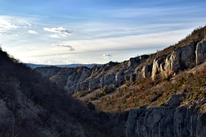
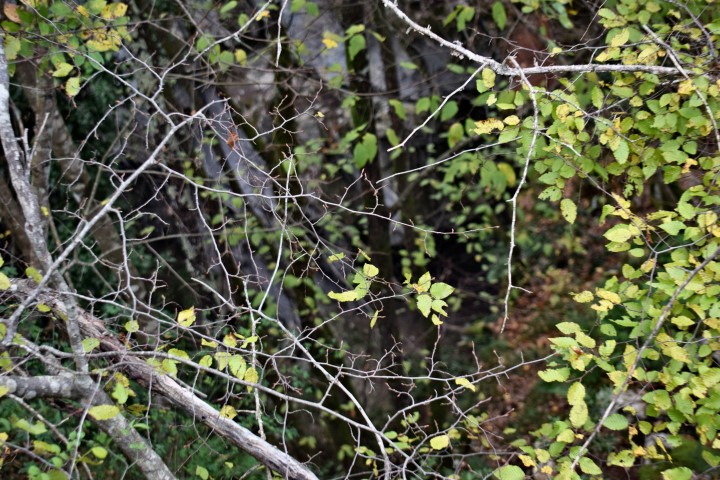
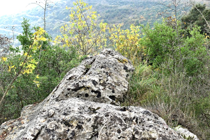
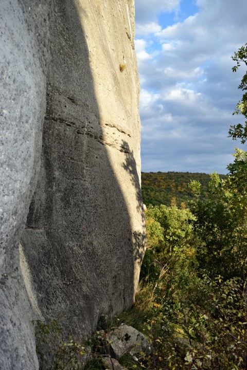
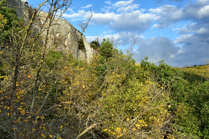
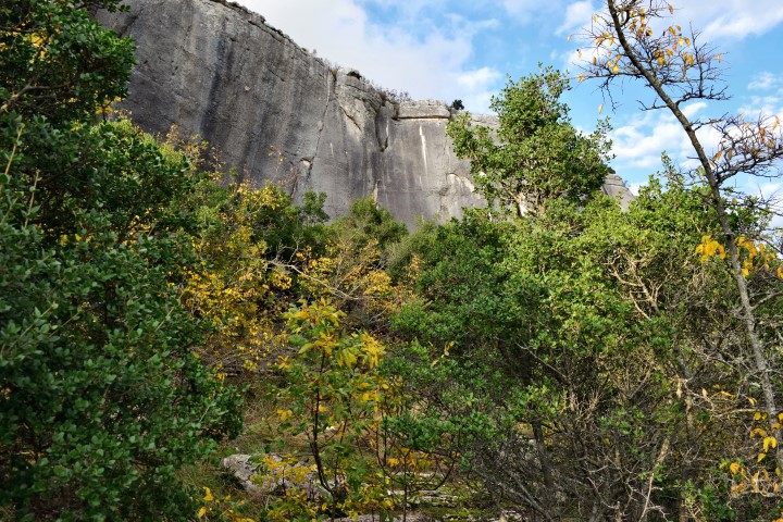
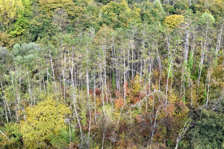
Hiking trail Vela Draga to Crna Peć, Pupićina Peć and a cave near the railway.
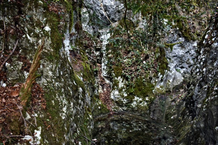
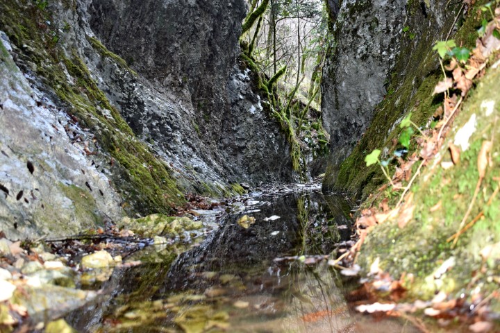
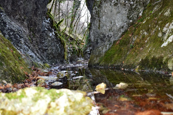
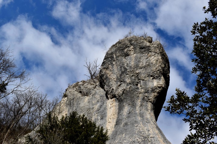
Crna Peć
For information about the trail and pictures see the post named: “Hiking path to the Black cave near the streams Veladraga and Crnjak “. Posted 2018-10-05.
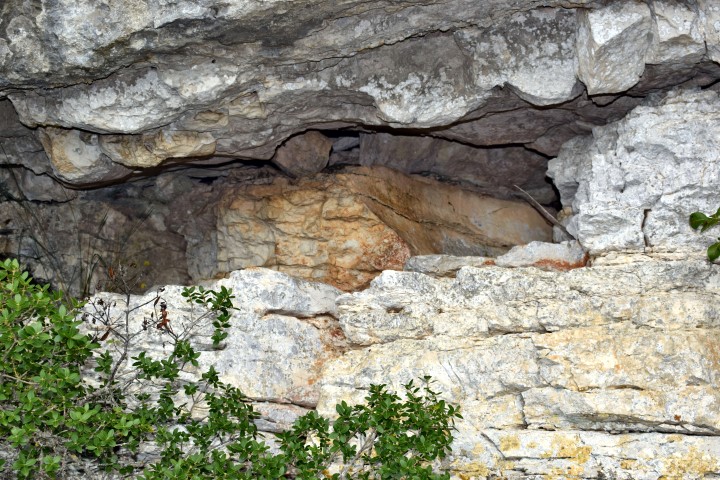
Pupićina peć
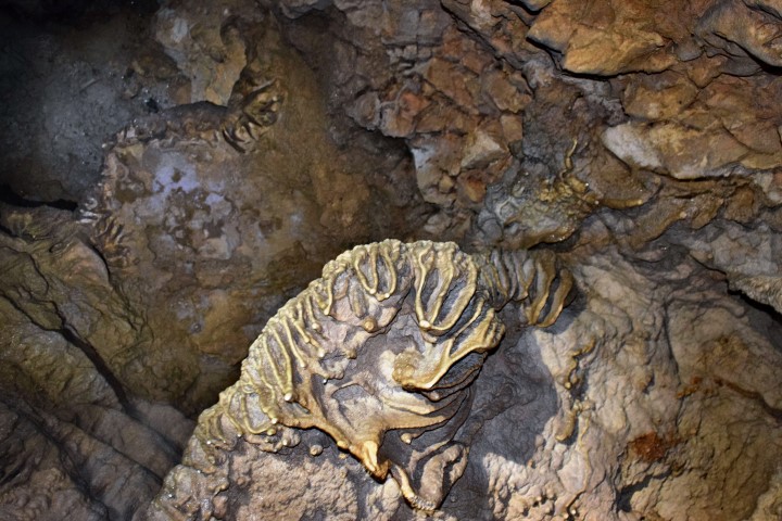
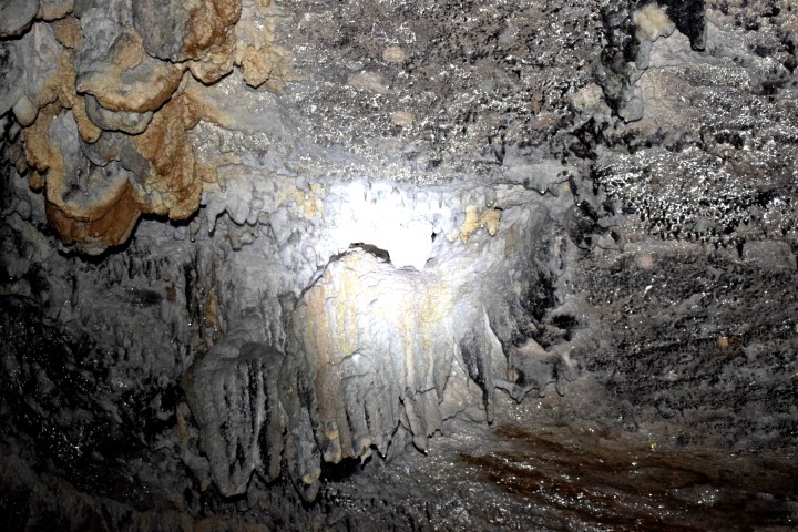
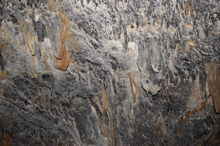
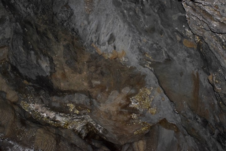
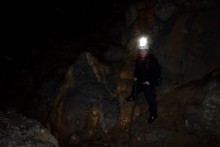
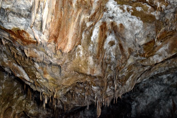
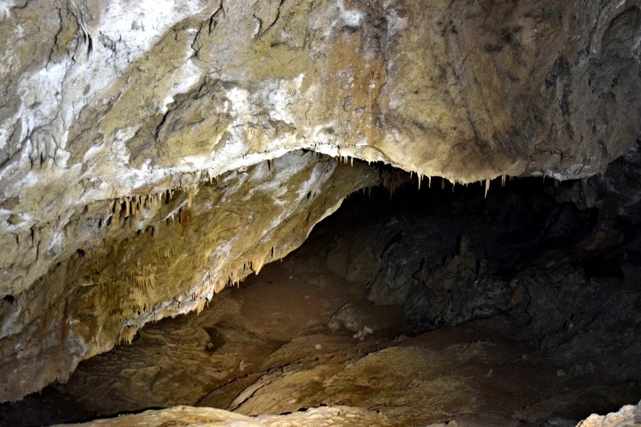
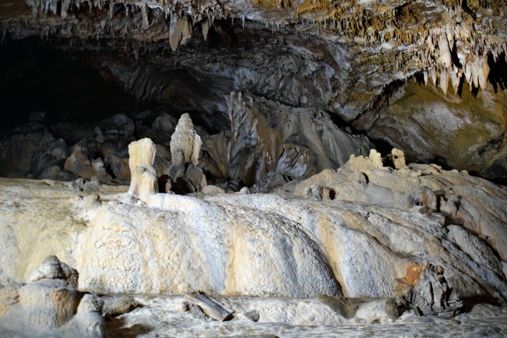
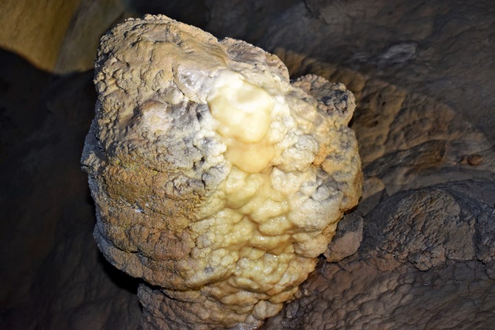
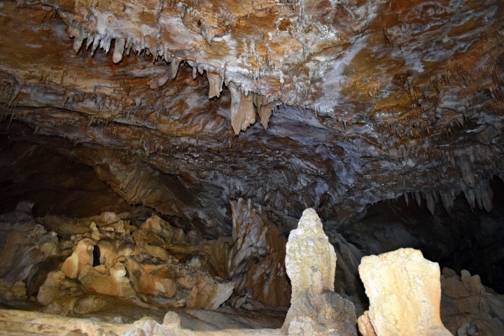
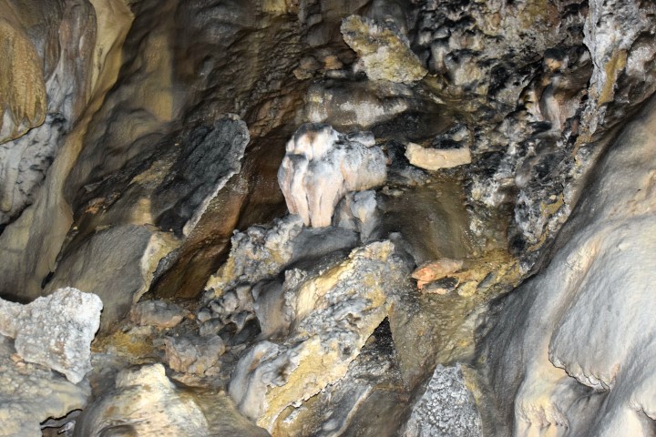
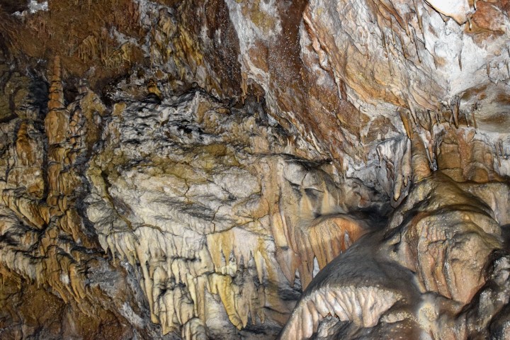
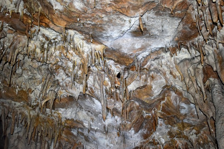
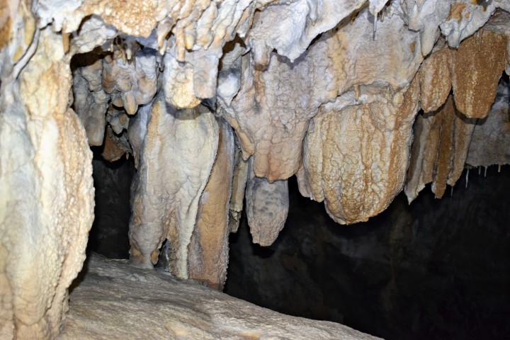
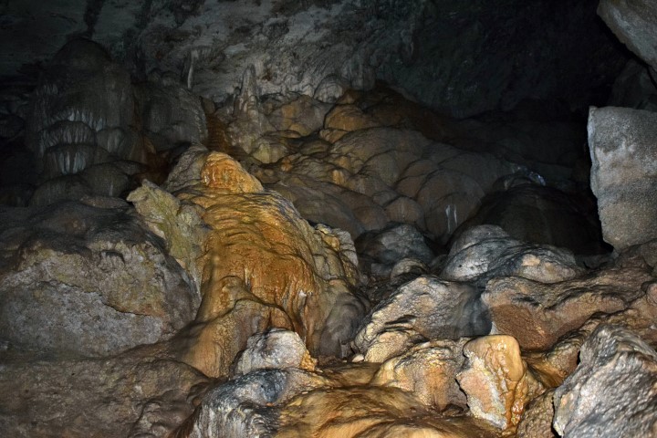
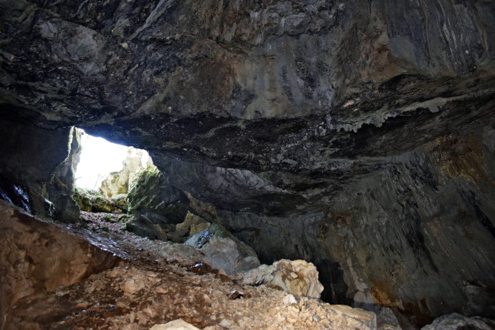
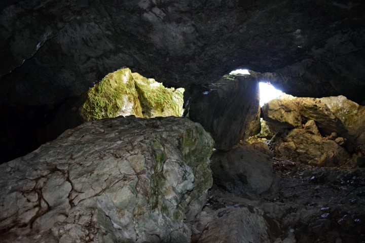
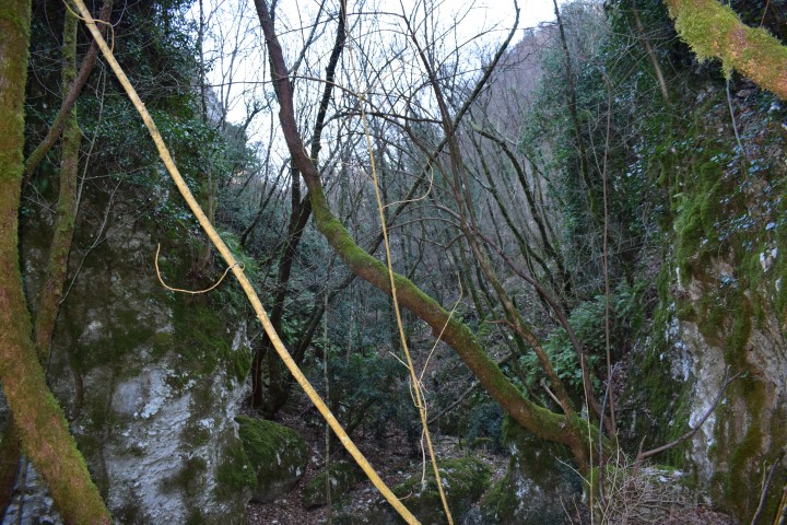
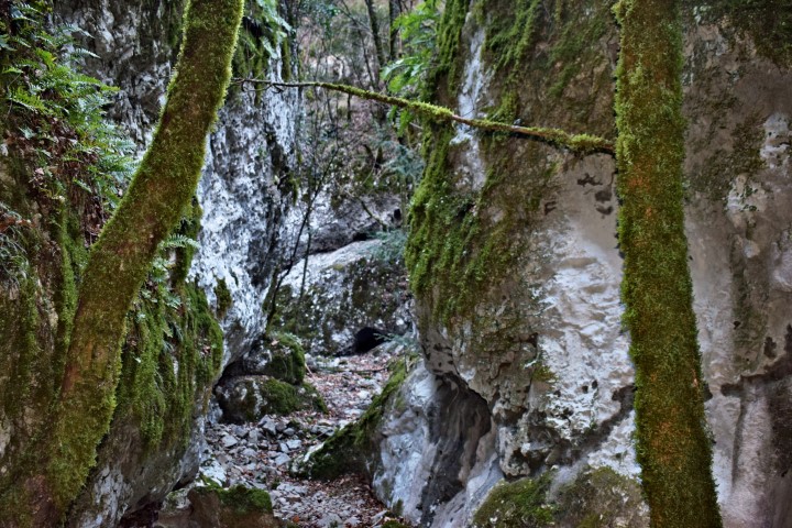
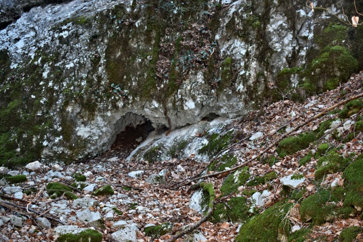
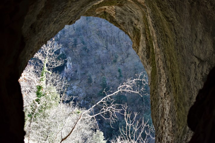
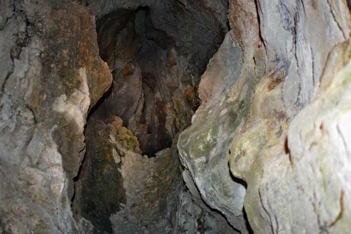
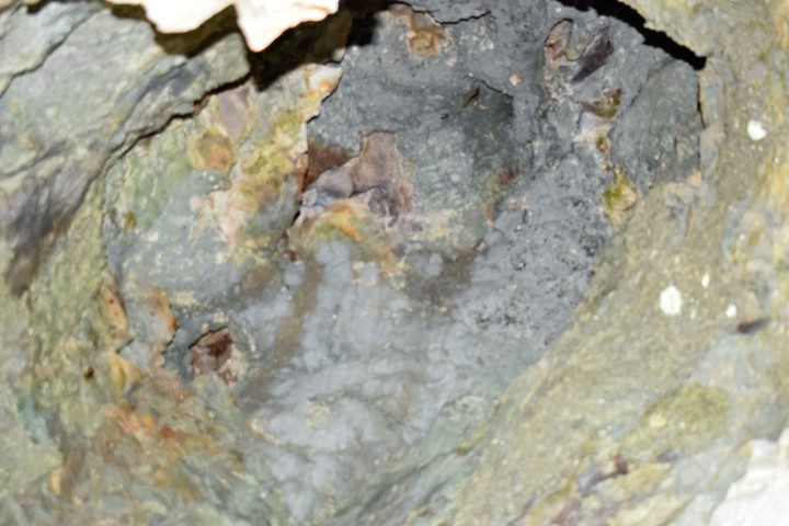
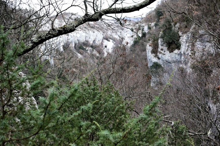
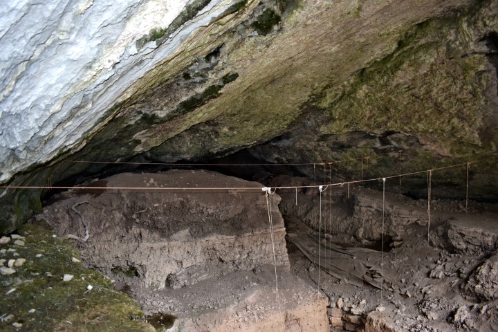
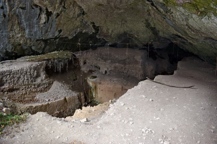
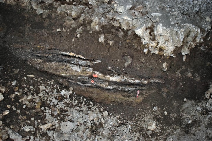
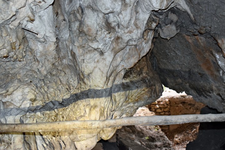
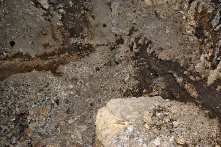
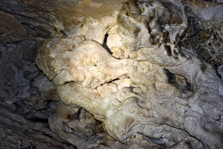
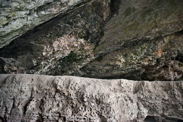
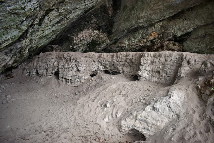
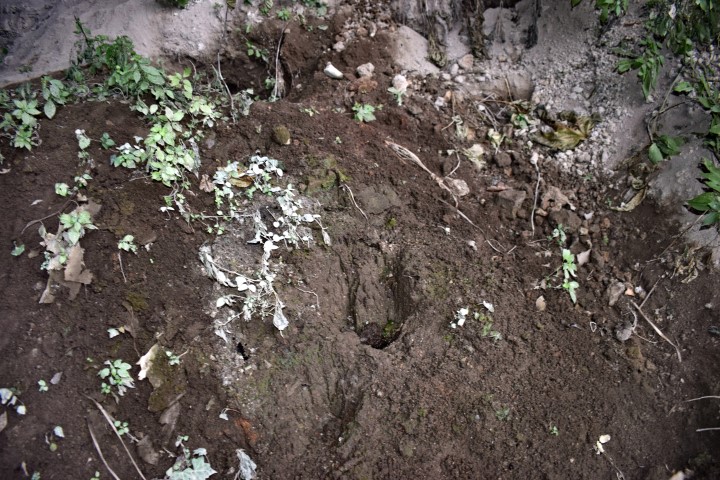
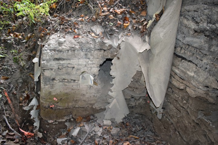
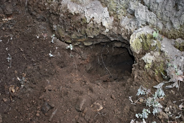
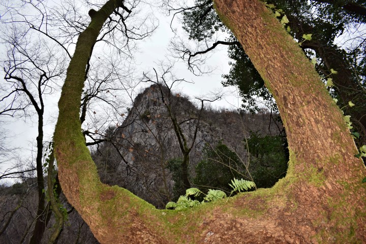
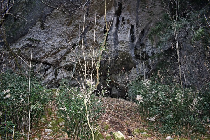
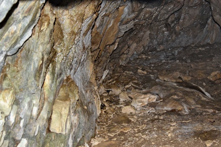
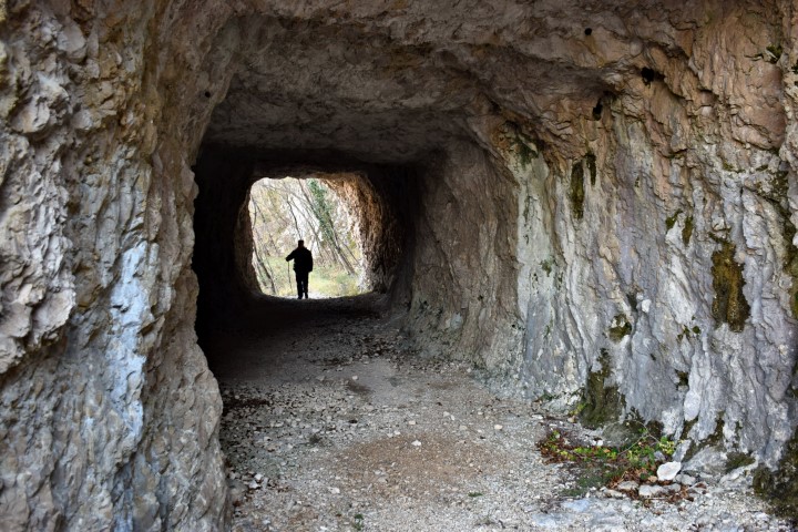
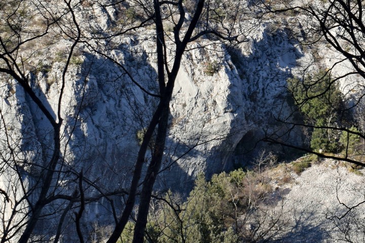
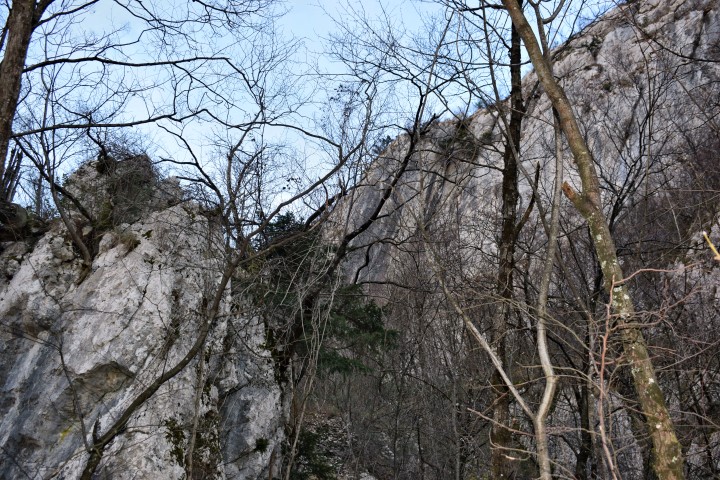
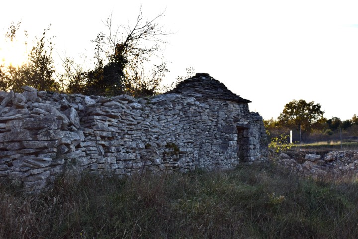
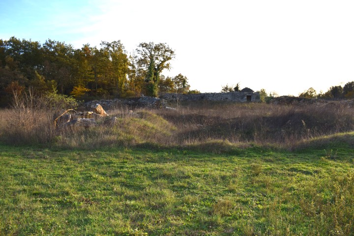
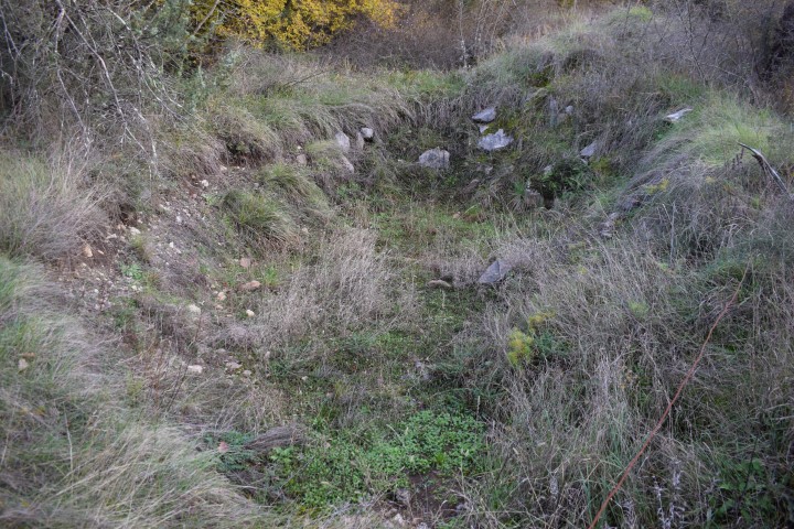
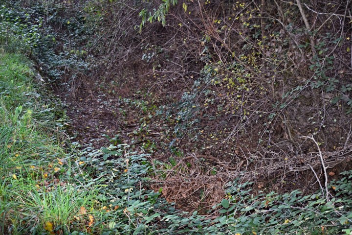
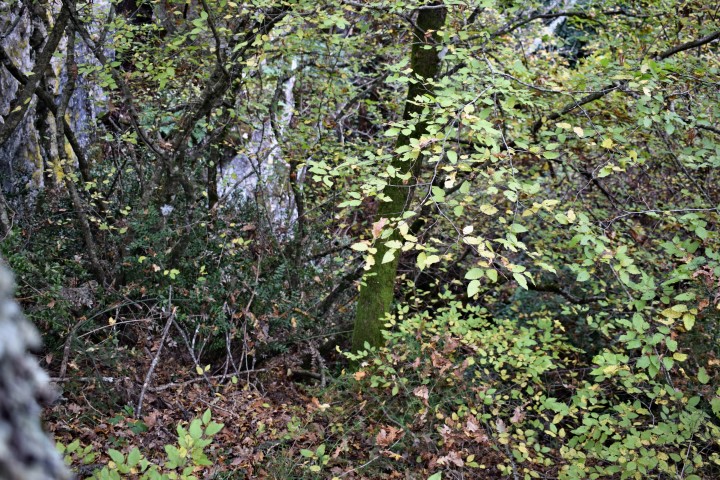
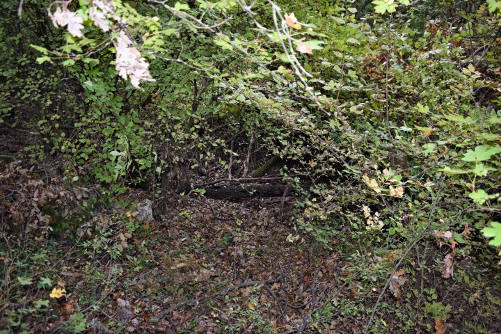
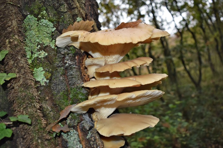
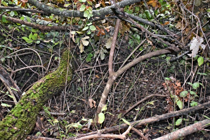
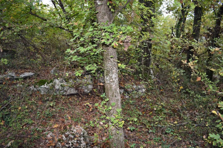
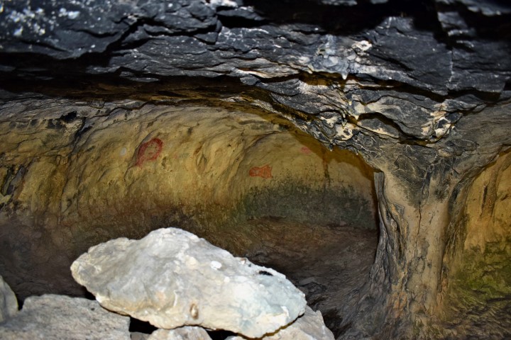
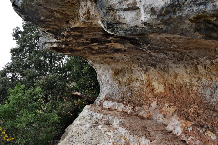
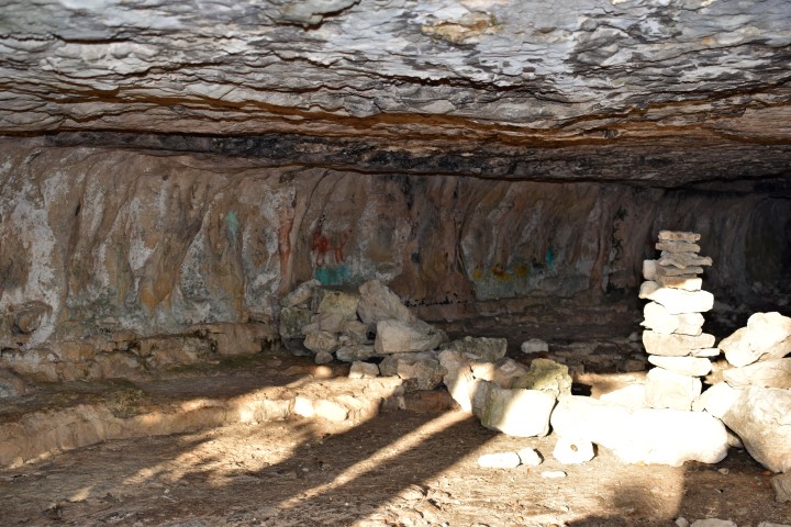
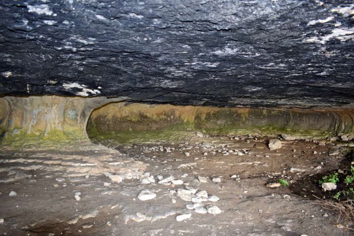
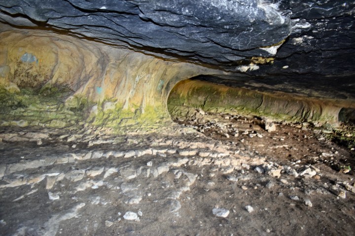
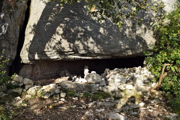
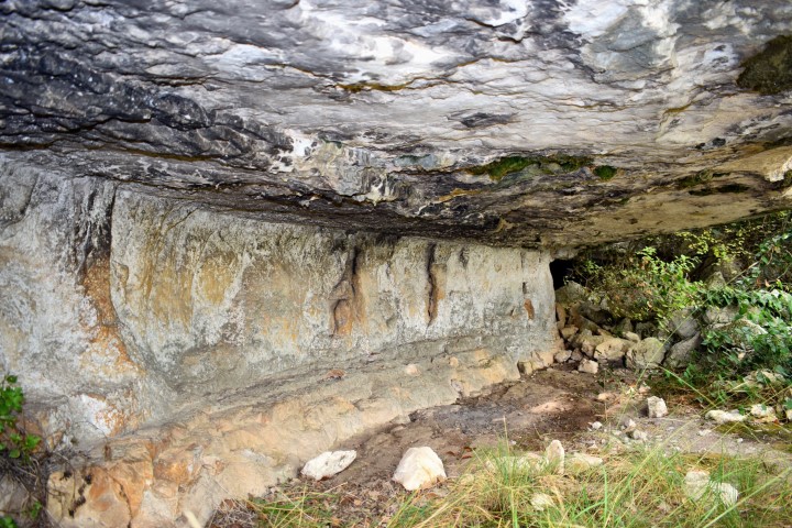
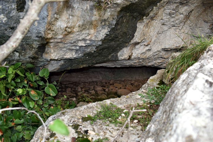
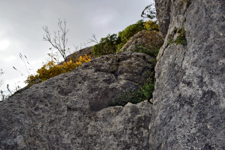
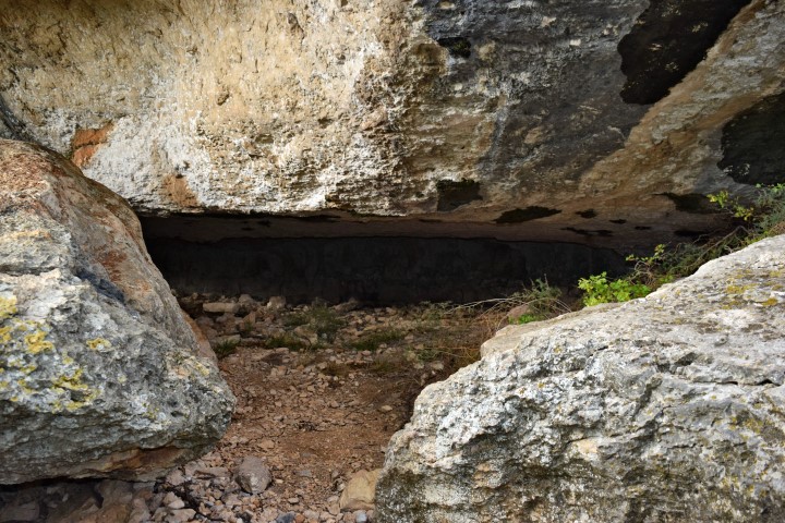
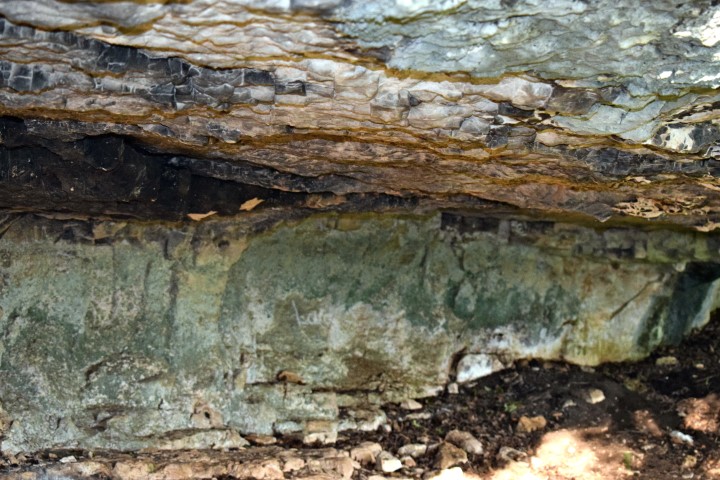
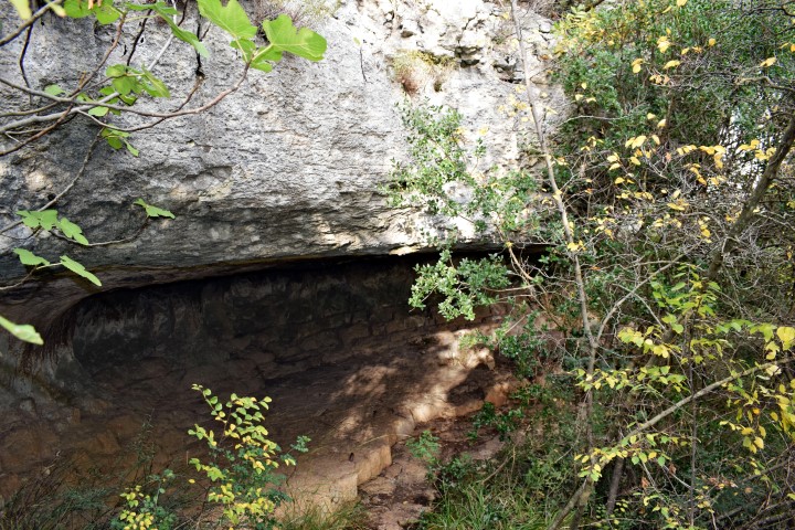
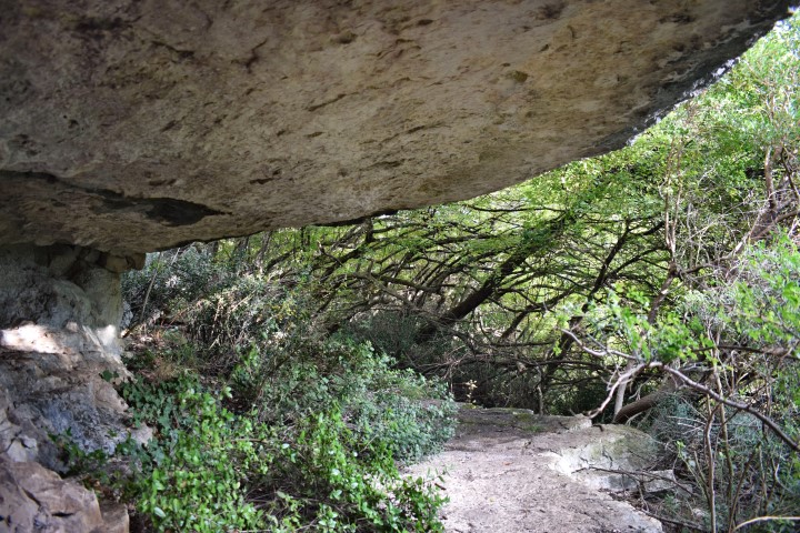
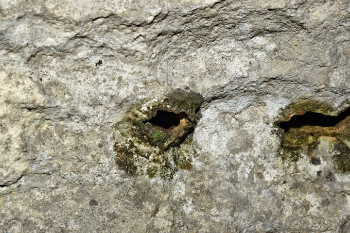
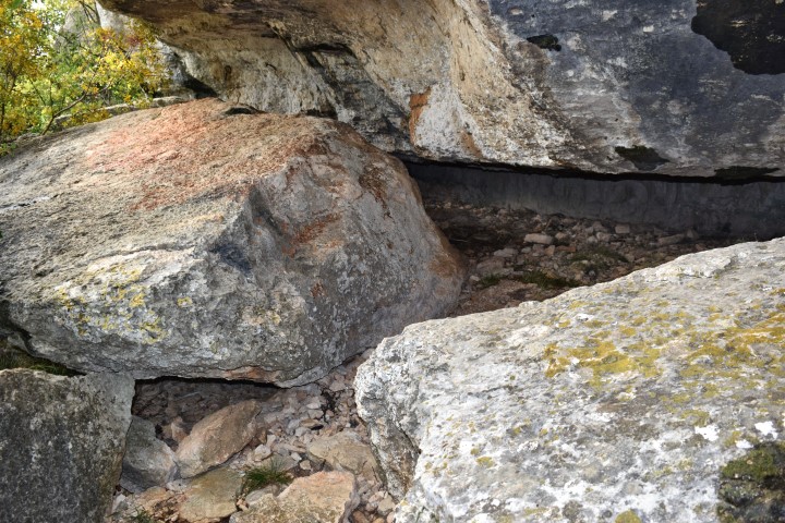
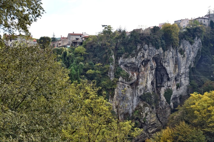
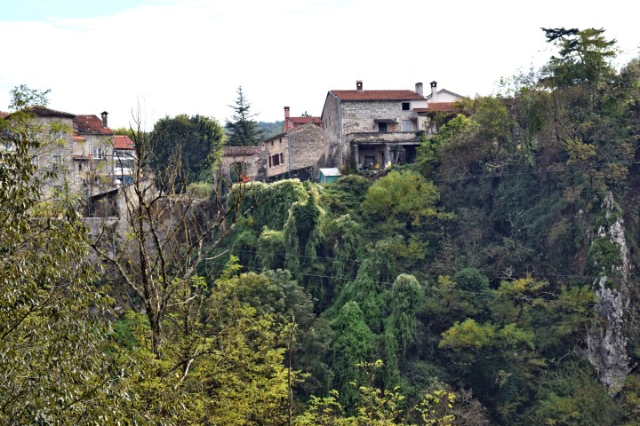
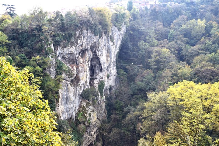
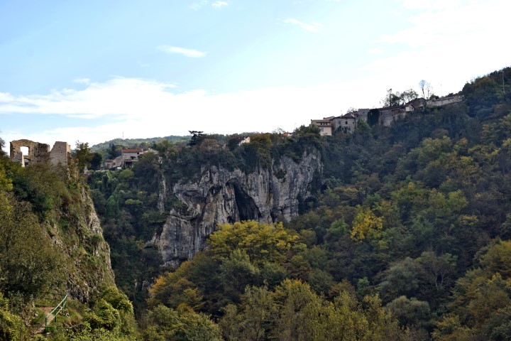
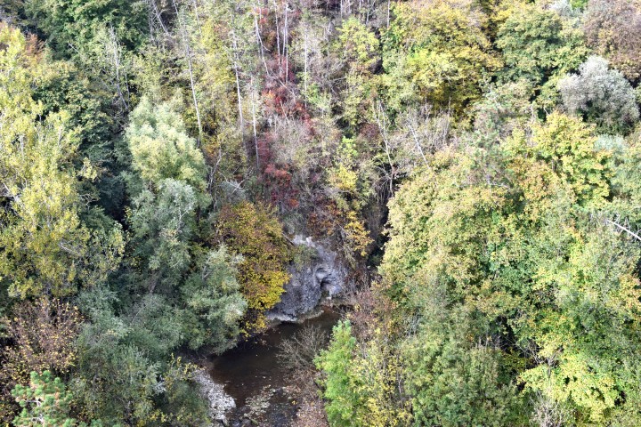
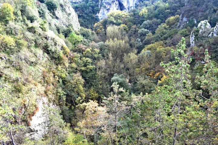
This cave is located in the canyon near the ruins of Stara Vranja (post “Castrum Vrane” posted: 2018-08-10) at a height of 200 m above sea level and it has a depth of about 30 meters. From 1991 to 1995 archaeological research took place here and in several caves in the area to determine prehistoric ecology in the northeast of Istria. During the excavations to a depth of 3.5 meters the sediments were uncovered, in which remains from the Late Upper Paleolithic (last Ice Age) until the Bronze Age (10500 – 3300 BC). In the layers are the artifacts found of tools, flints, fireplaces, bones of roe deer,wild boar, ibex, wild cattle, badger, hare, snails, shells and ceramic fragments. The research has shown that this cave has been visited by people over longer periods of time, if the climate conditions this allowed. Pictures: 58 to 68.
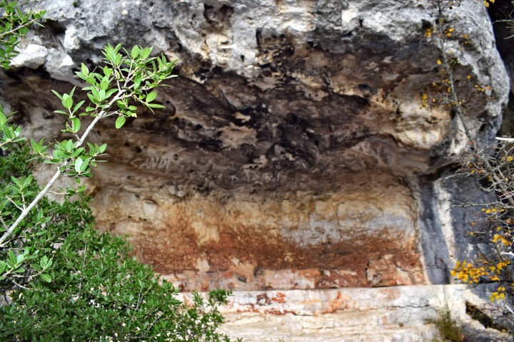
Vele Peć
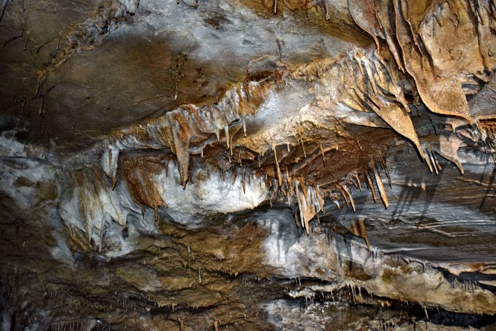
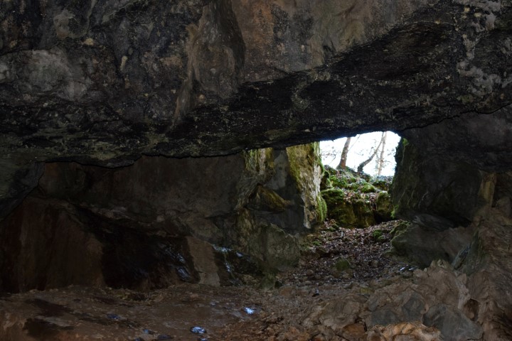
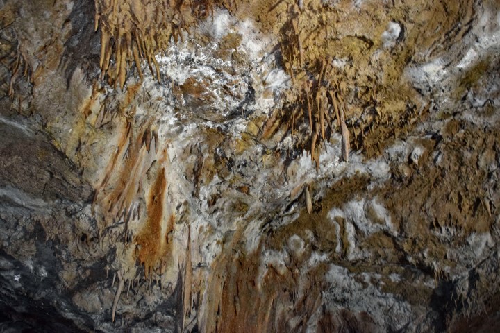
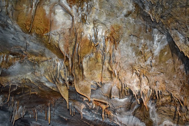
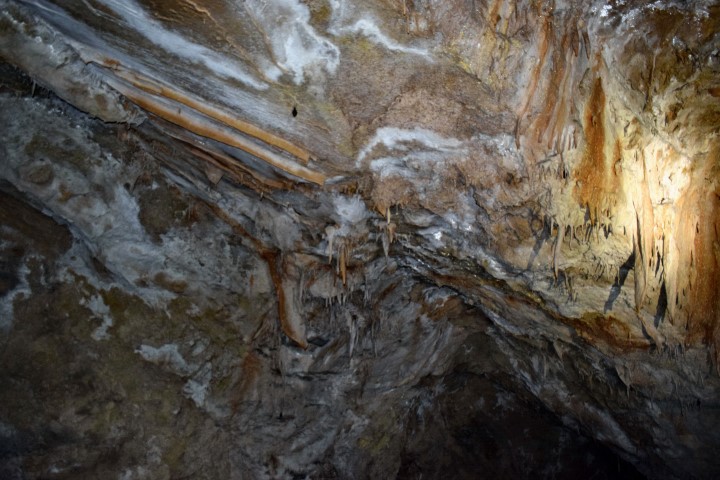
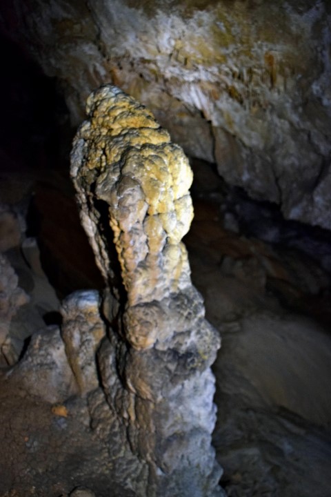
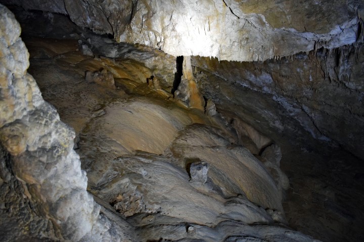
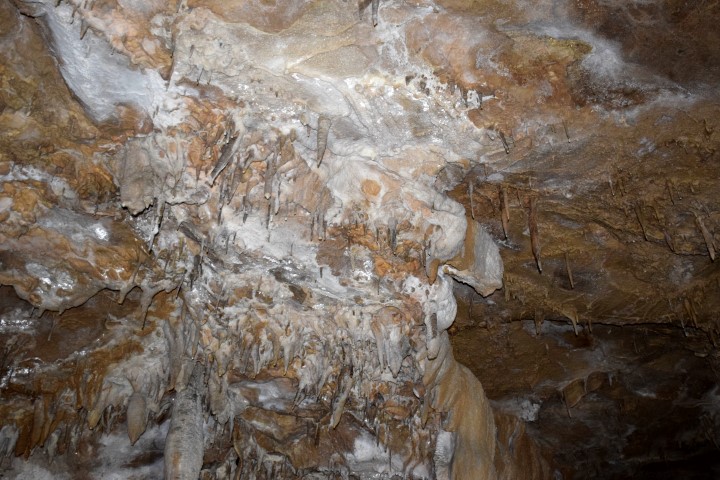
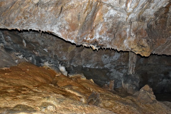
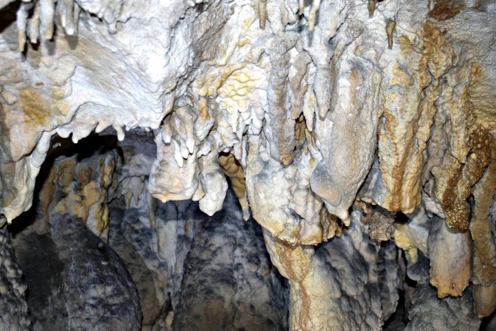
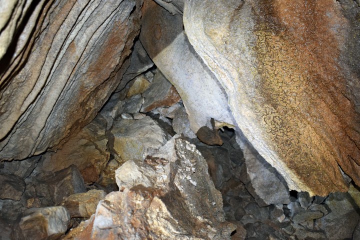
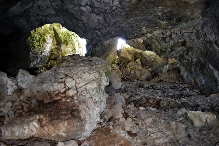
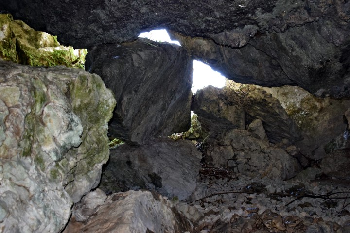
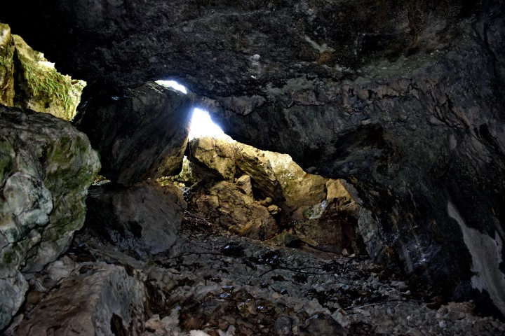
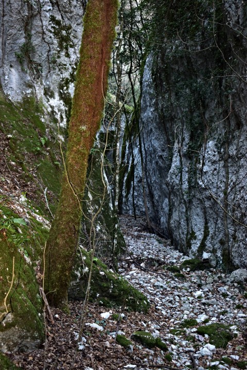
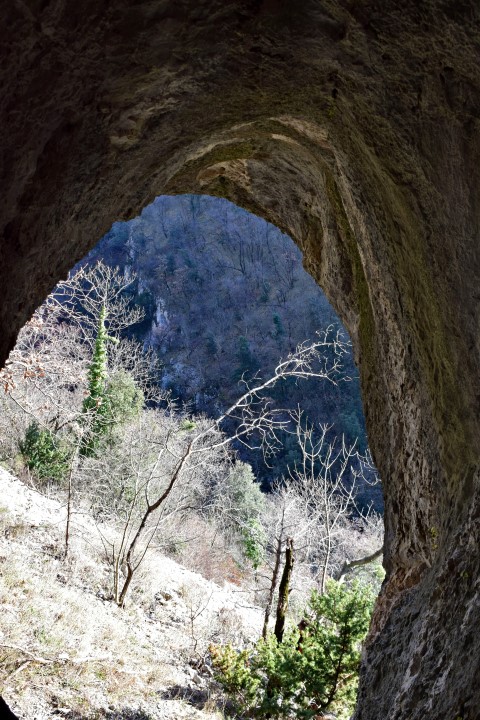
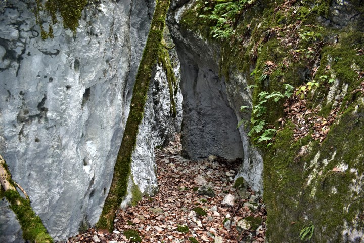
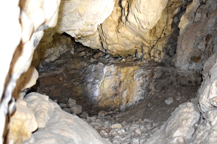
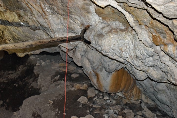
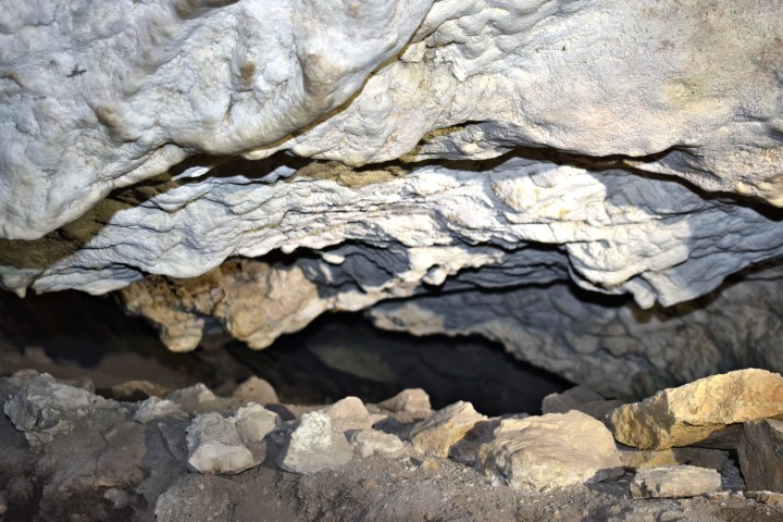
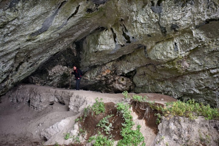
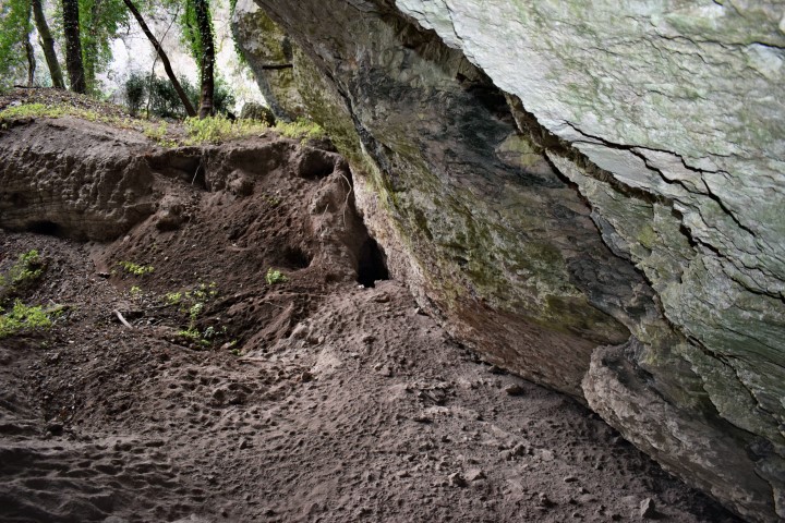
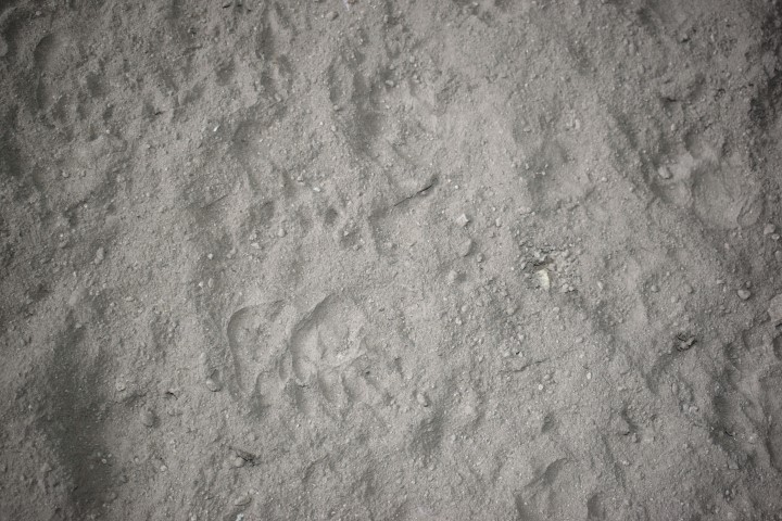
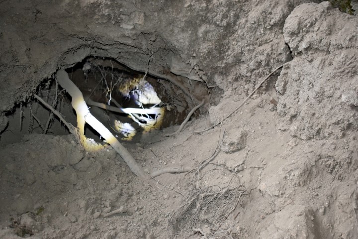
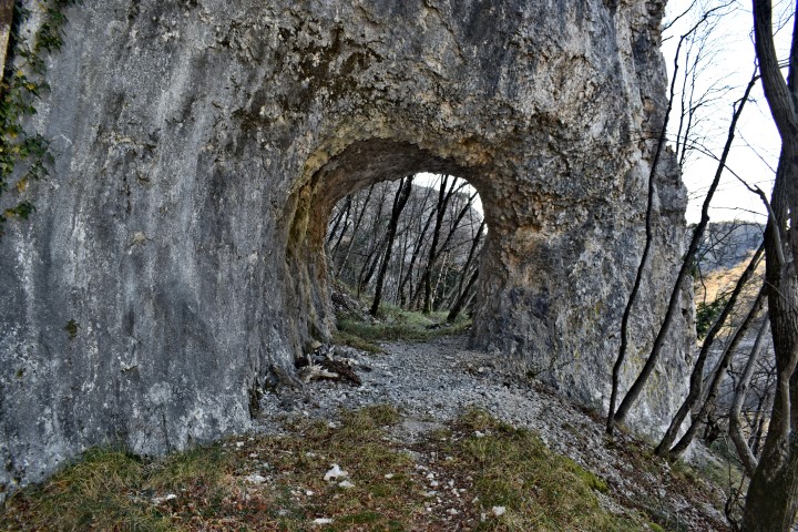
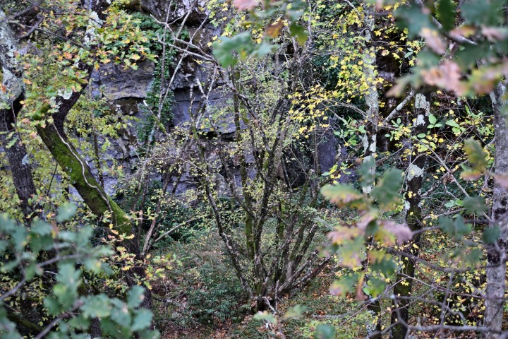
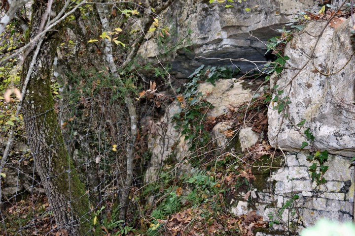
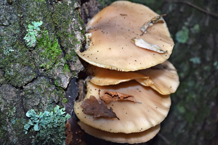
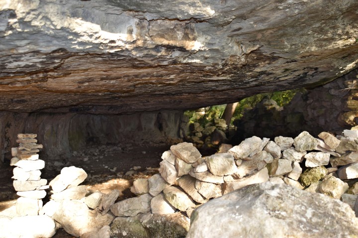
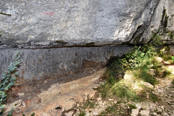
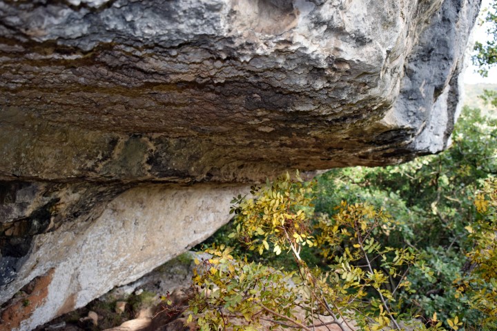
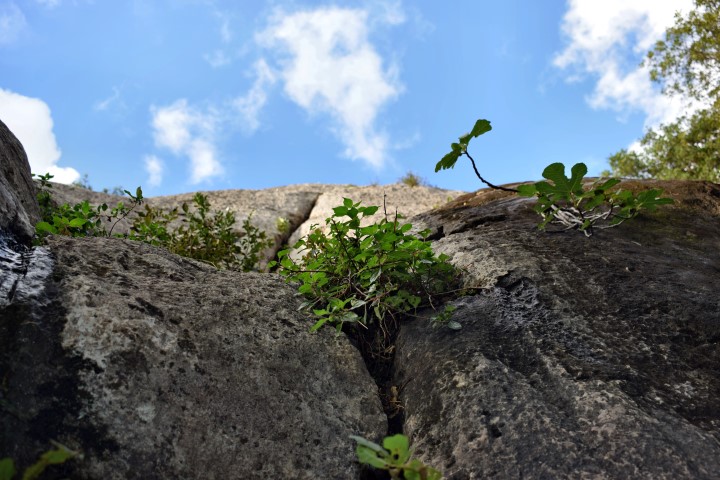
The Vela peć (Big cave) is opposite the Pupićina peć. In the cave had place archaeological investigations. Special is the present of badger setts. Pictures: 72 to 76; 78-87.
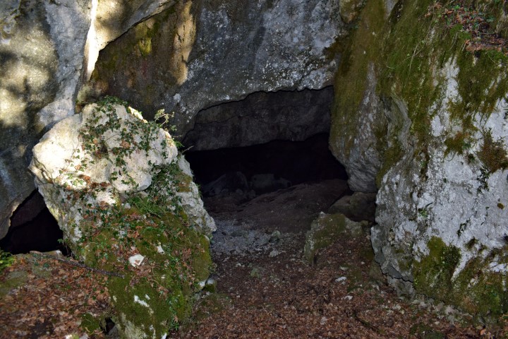
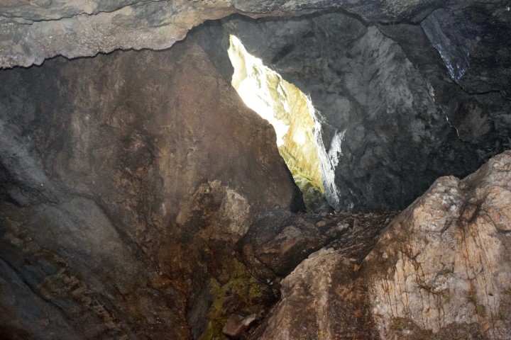
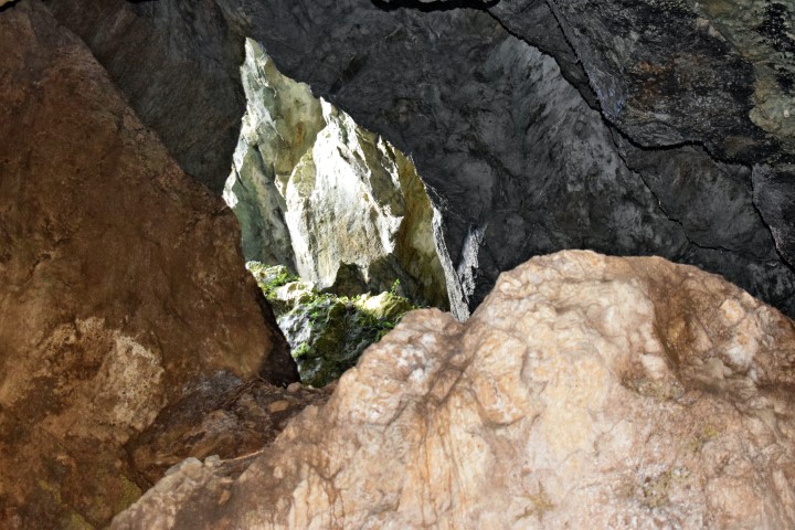
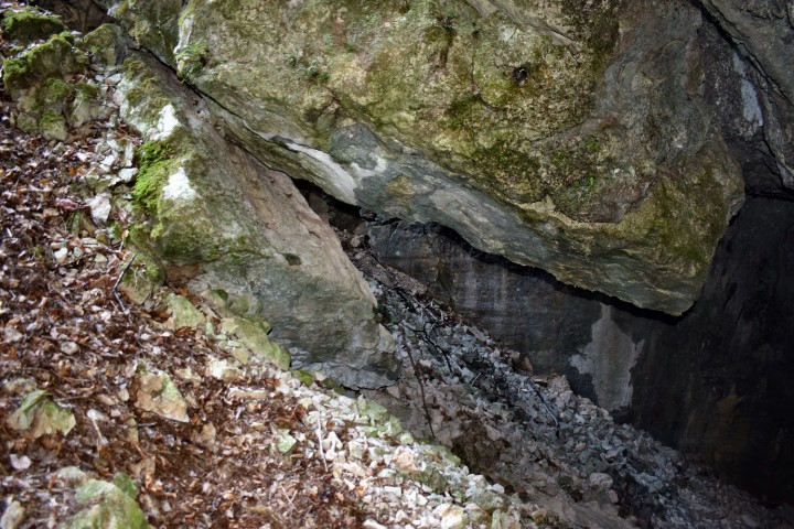
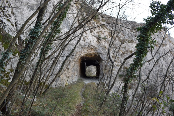
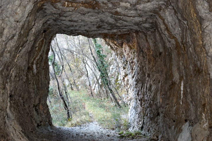
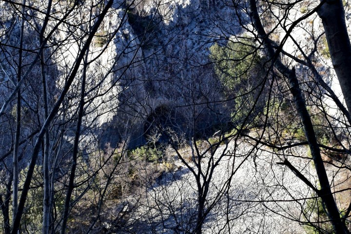
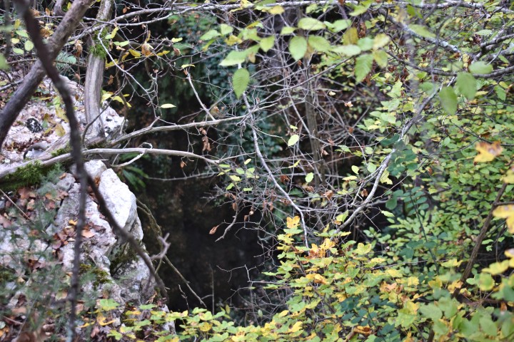
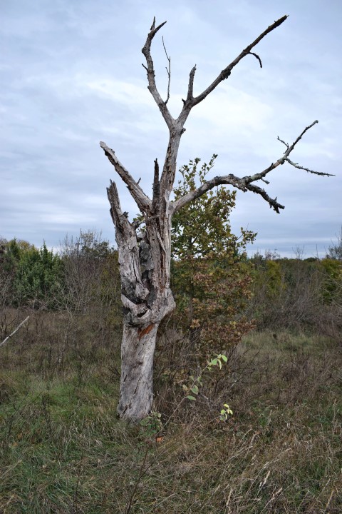
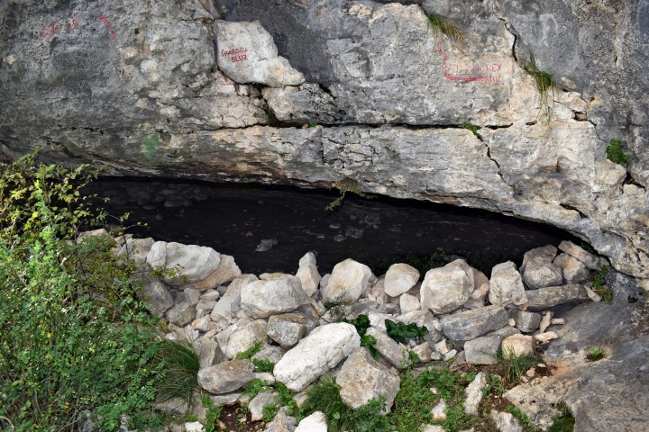
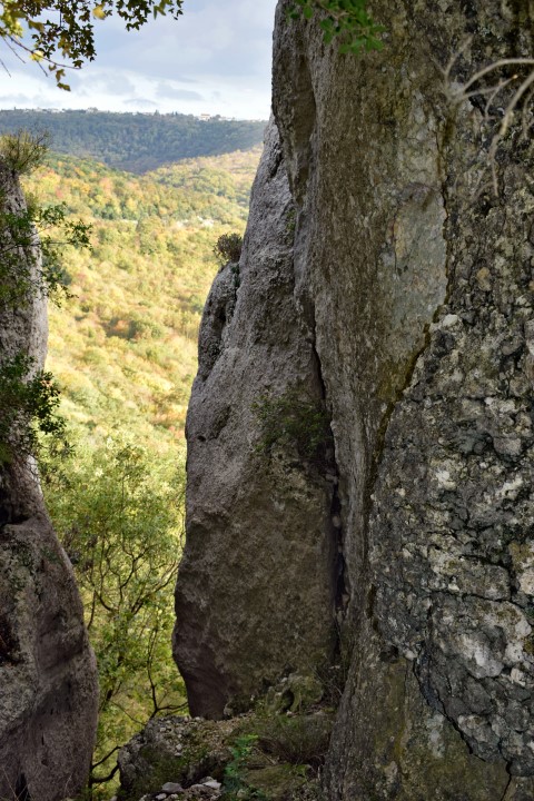
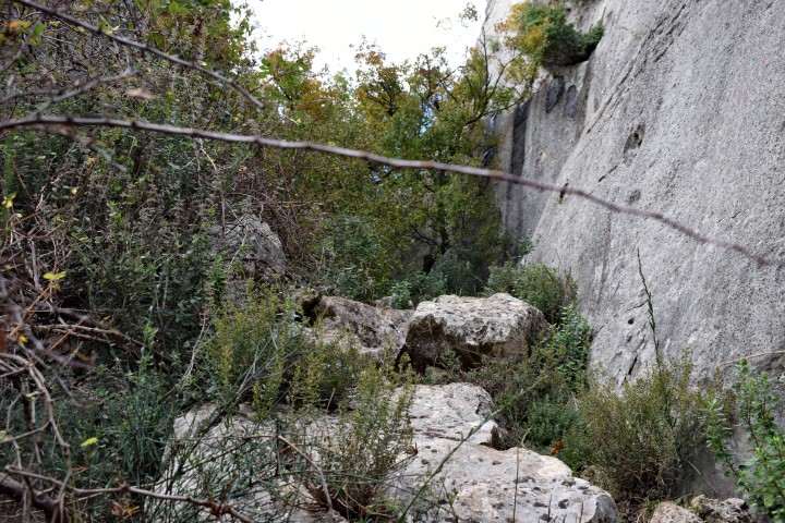
The last cave in this canyon is not far away from the railway over the Vela Draga. Pictures 41 to 47.


Pupićina pec: 45.31344 N – 14.15676 E
Name: Pupićina peć – Crna peć
Place: Vela Draga – Učka
Coordinates:
Starting point hiking trail: 45.31590 N – 14.15146 E. near the village Baričevići and the church St. Peter.
Crossing point stream Crnjak 45.31363 N – 14.15334 E.
Follow the opposite path to 45.31343 – 14.15465 E , and the stream Vela Draga to point 45.31292 N – 14.15715 E.
Vela peć: 45.31269 N – 14.15691
Cave near railway: 45.31552 N -14.16391 E
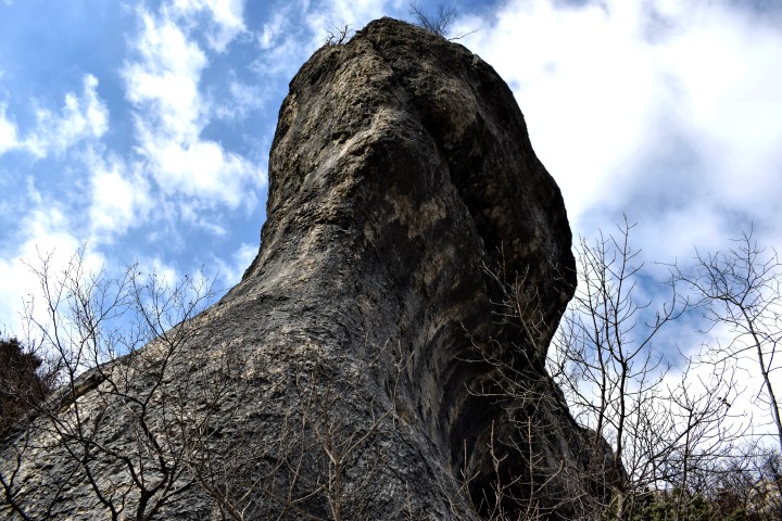
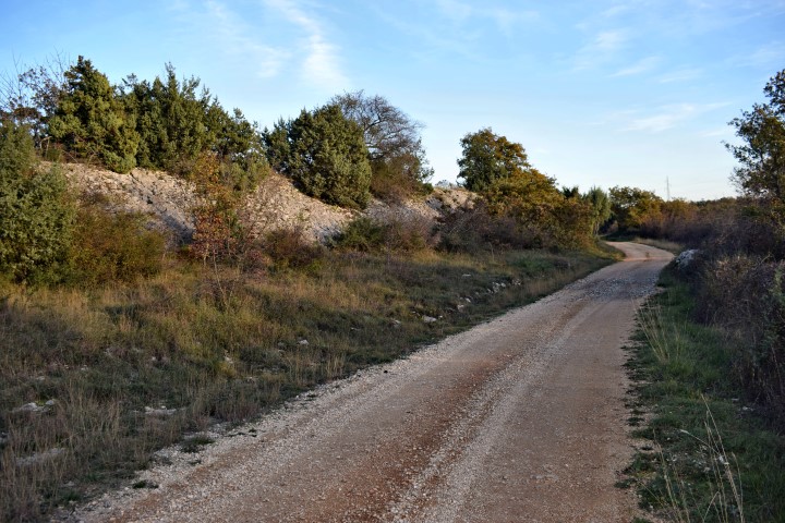
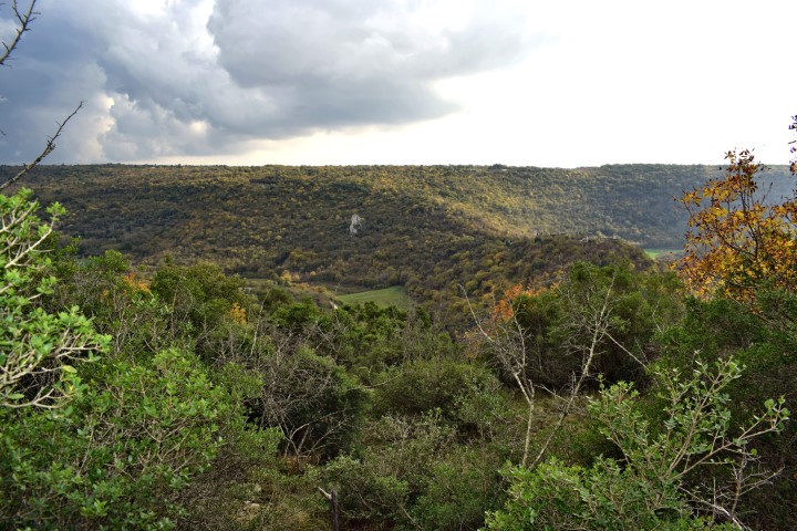
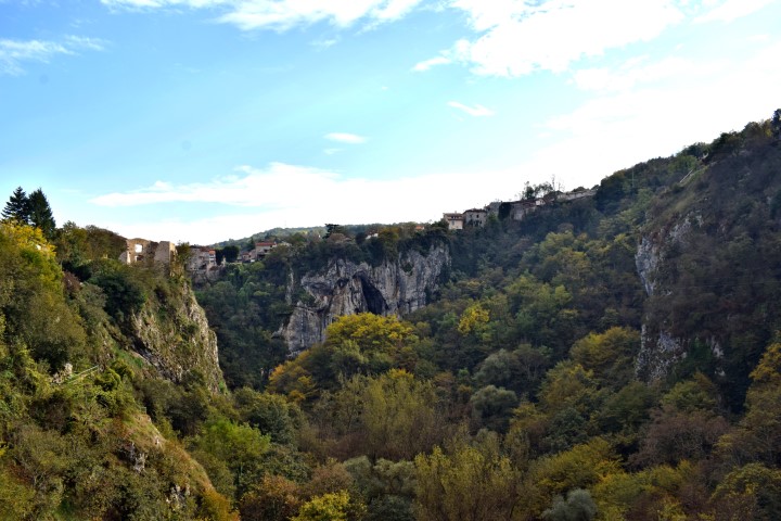
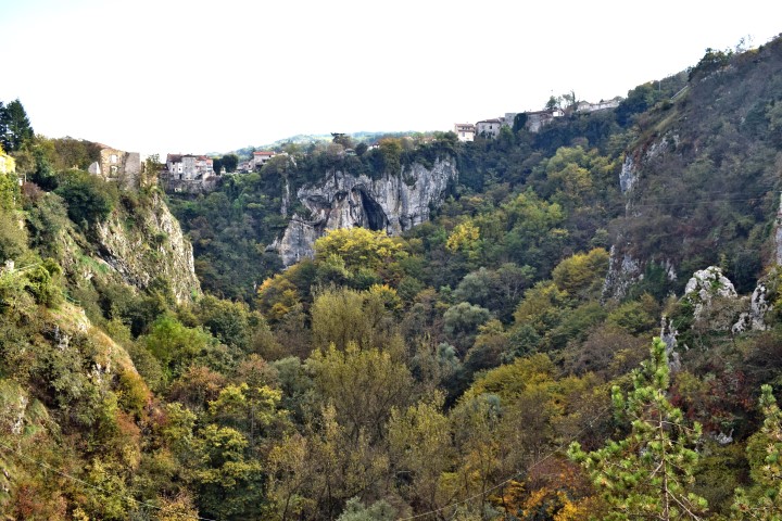
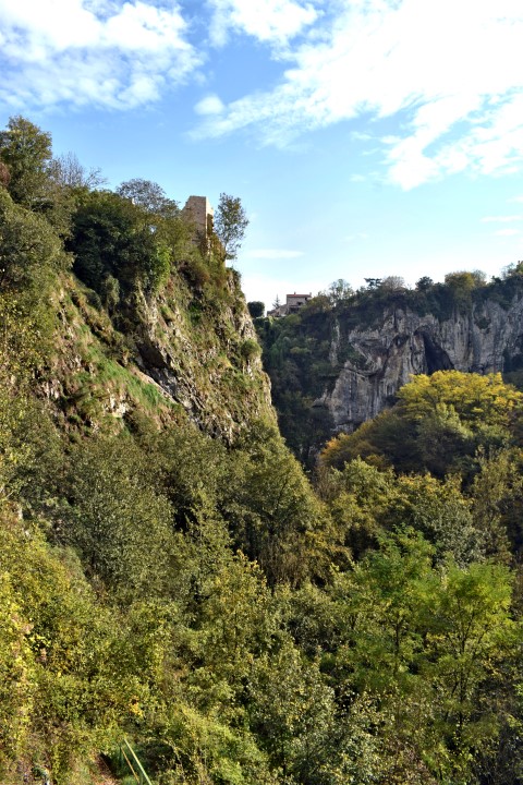
Hiking path canyon Vela Draga South – Učka


Name: Hiking path Vela Draga South
Place: Učka Nature Park
Coordinates: Startpoint near entrance tunnel 45.31449 N – 14.6671 E ,
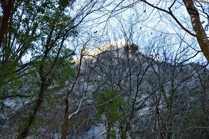
View on Pupićina peć; 45.31545 N – 14.16413 E.
Hiking path to caves Barošnica and Kumbašel,


Cave Fulinovica


Name: Cave Fulinovica.
Place: near Pilkovići – (Kanfanar).
Coordinates: 45.11712 N – 13.77966 E.
Cave near Burići


Name: Cave kod Burići.
Place: Burići – Kanfanar.
Coordinates: 45.11101 N – 13.83484 E.
Hiking path Vela Draga – Vrilače


Name: Hiking path Vela Draga – Vrilače
Place: Near Korenići
Coordinates: Starting point: 45.13247 N – 13.80763 E ; End: 45.13219 N – 13.02103 E
Name of the church: St. Ilija (picture o21)
Pazinska jama – Pazin


Name: Pazinska jama
River: Pazinčića
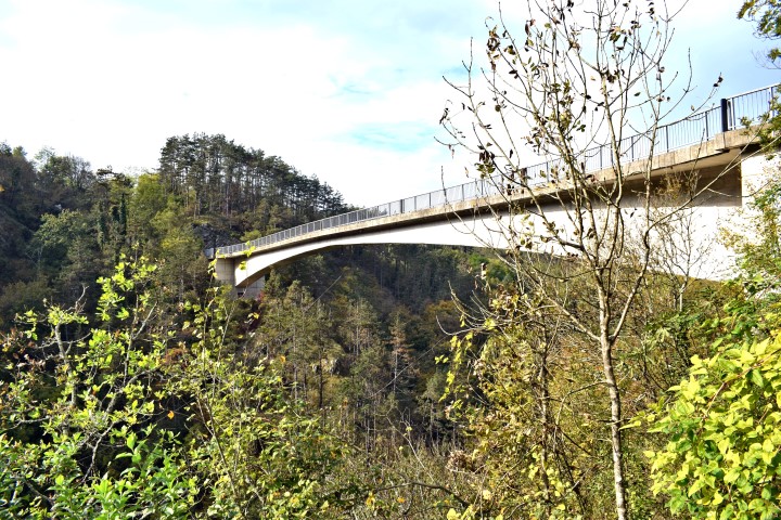
Name bridge: Vršić
Coordinates: 45.24156 N – 13.92840 E (bridge over Pazinčića)
Place: Pazin