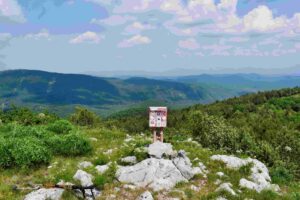
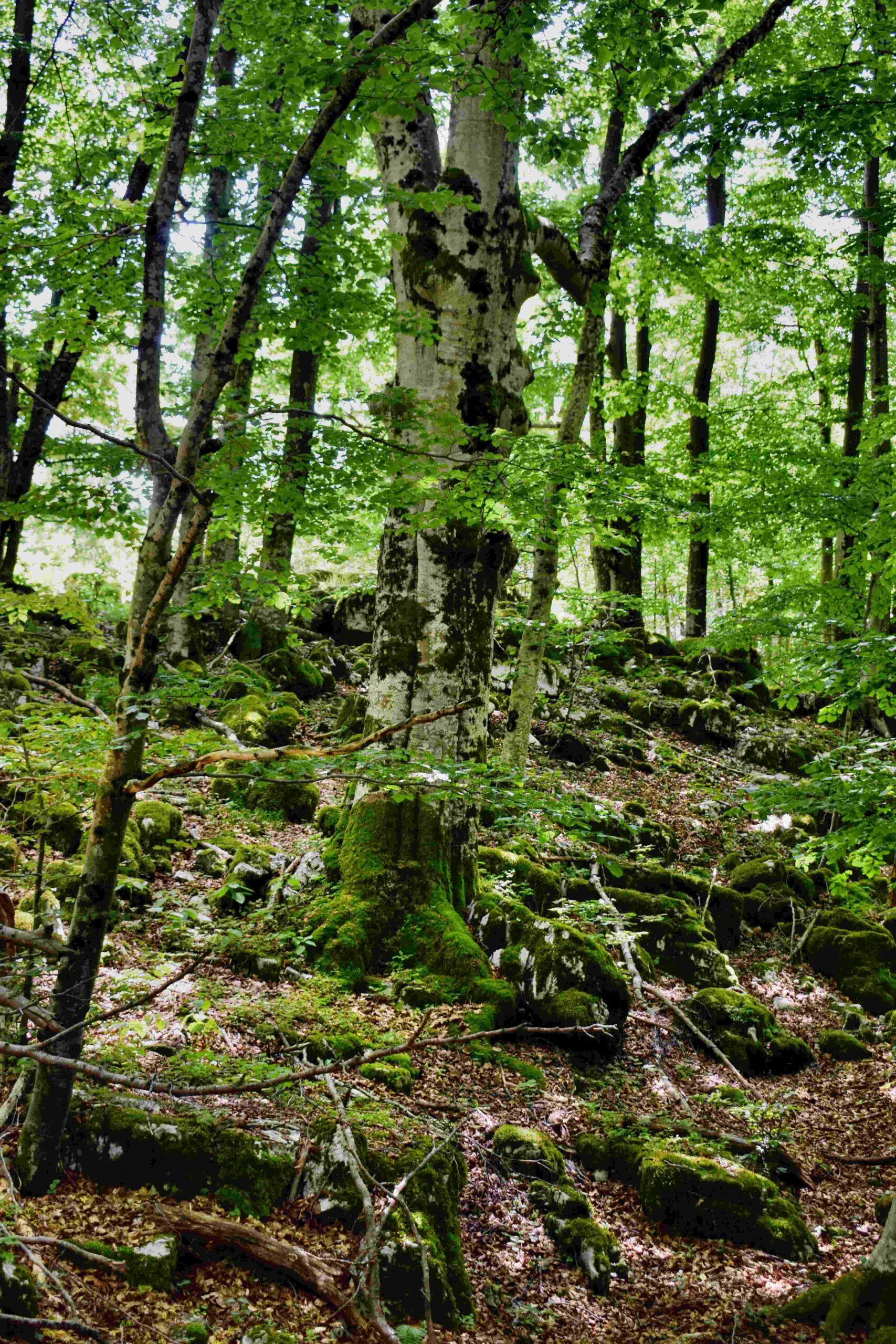
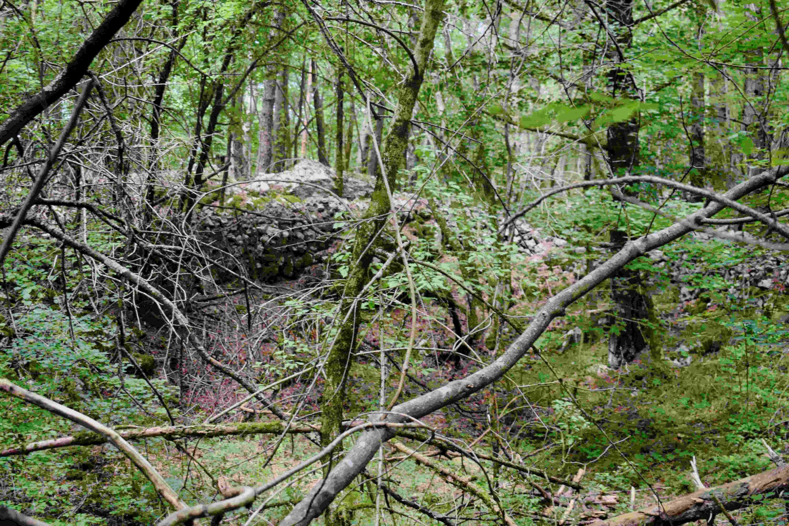
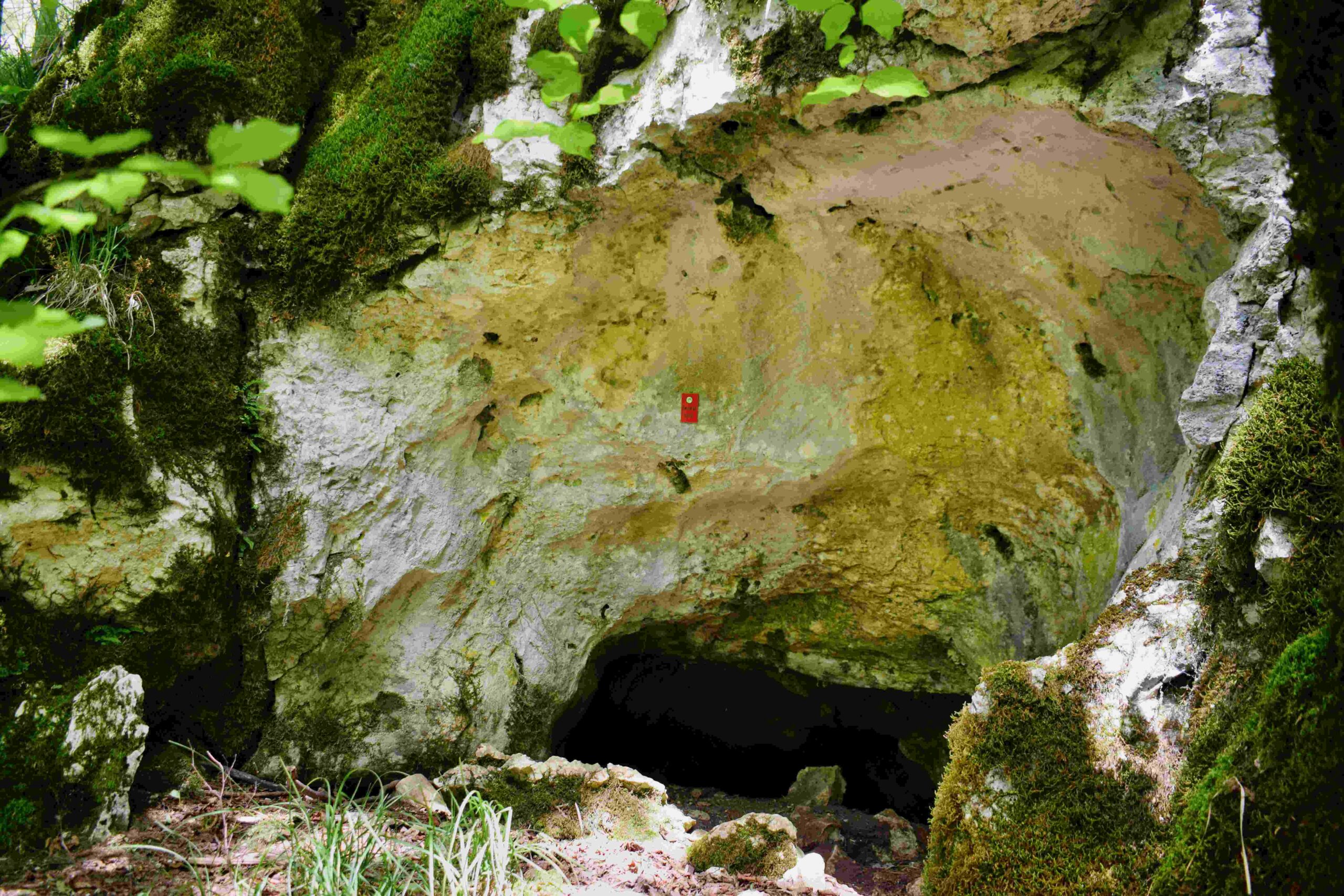
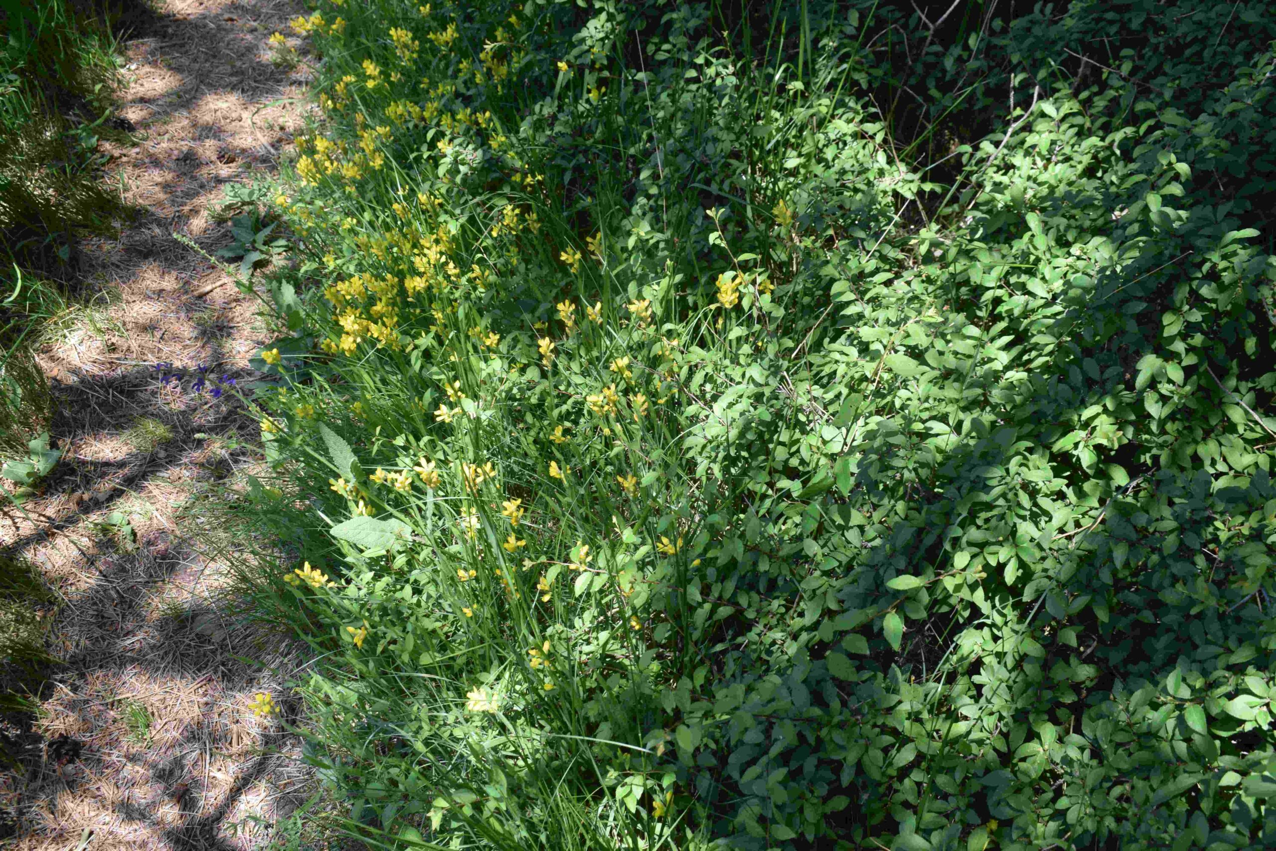
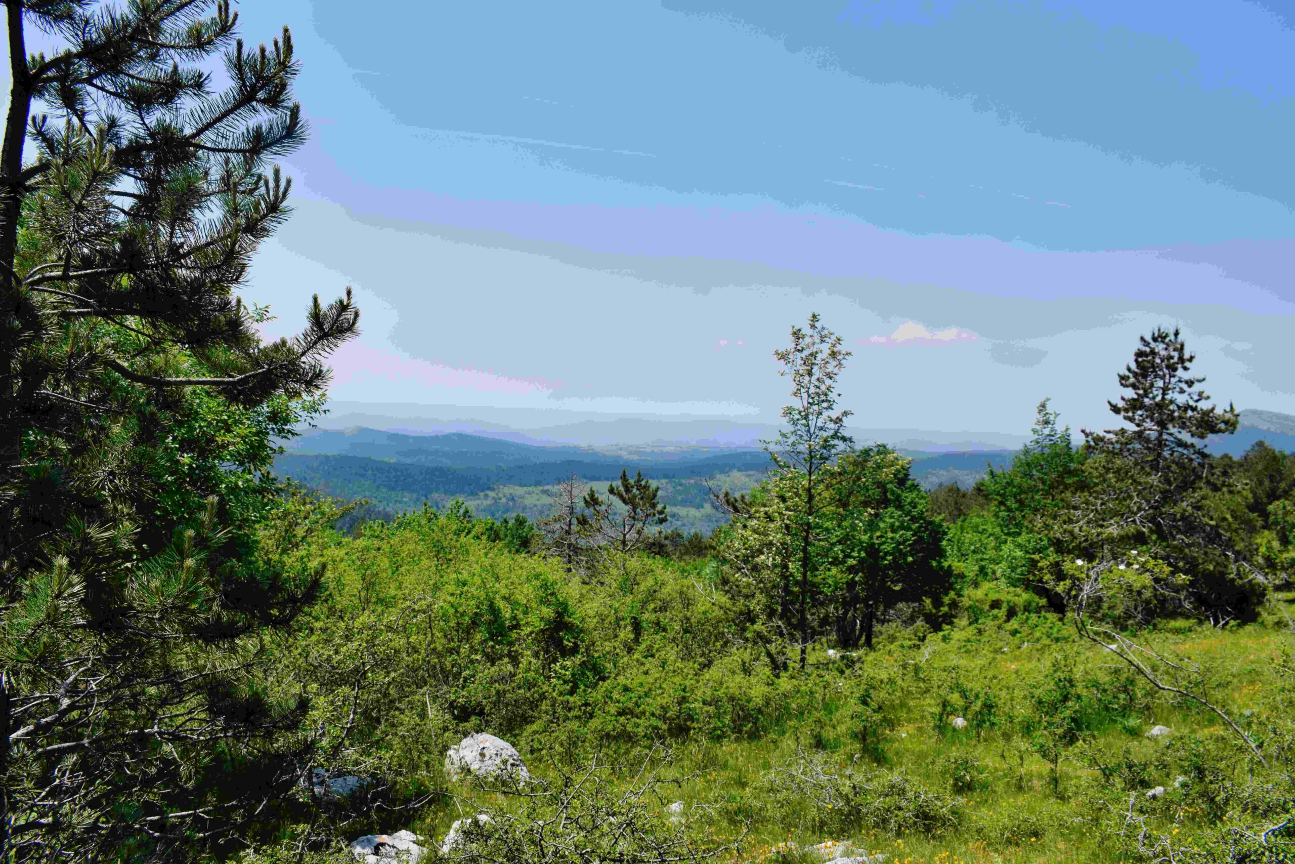
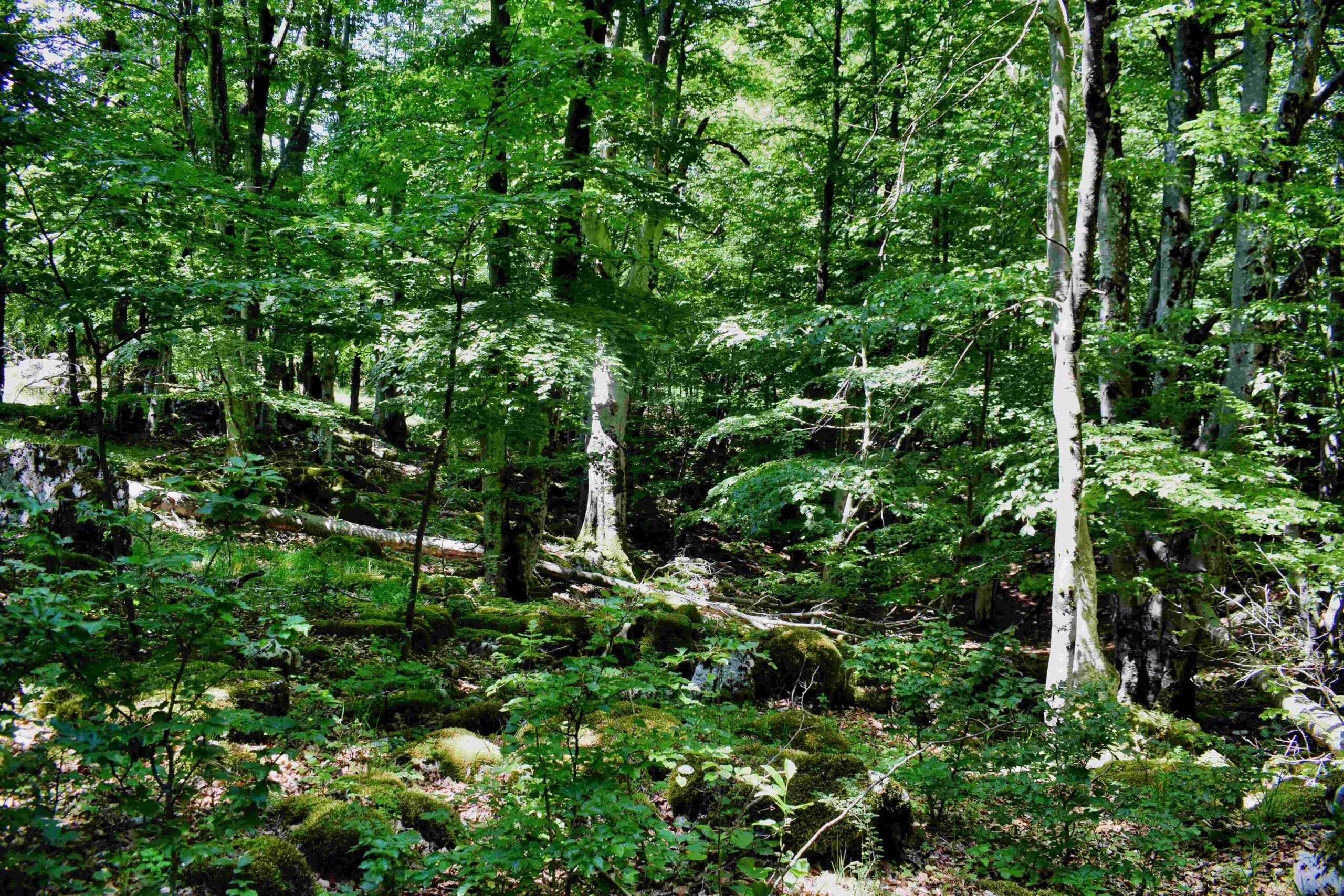
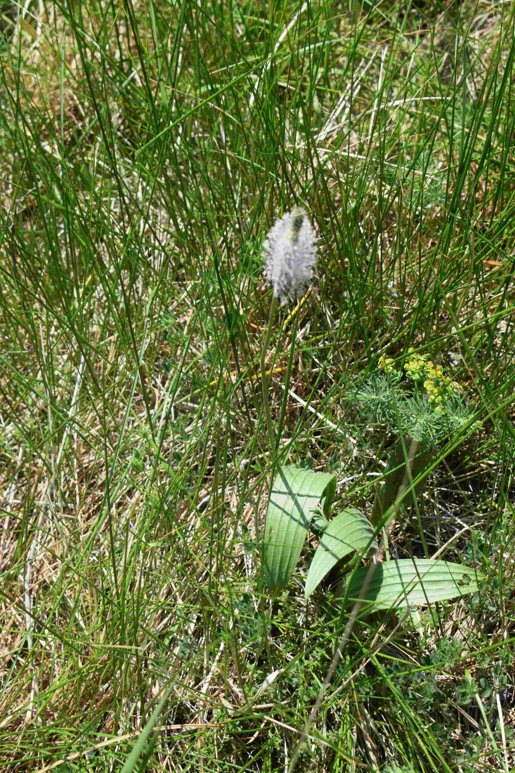
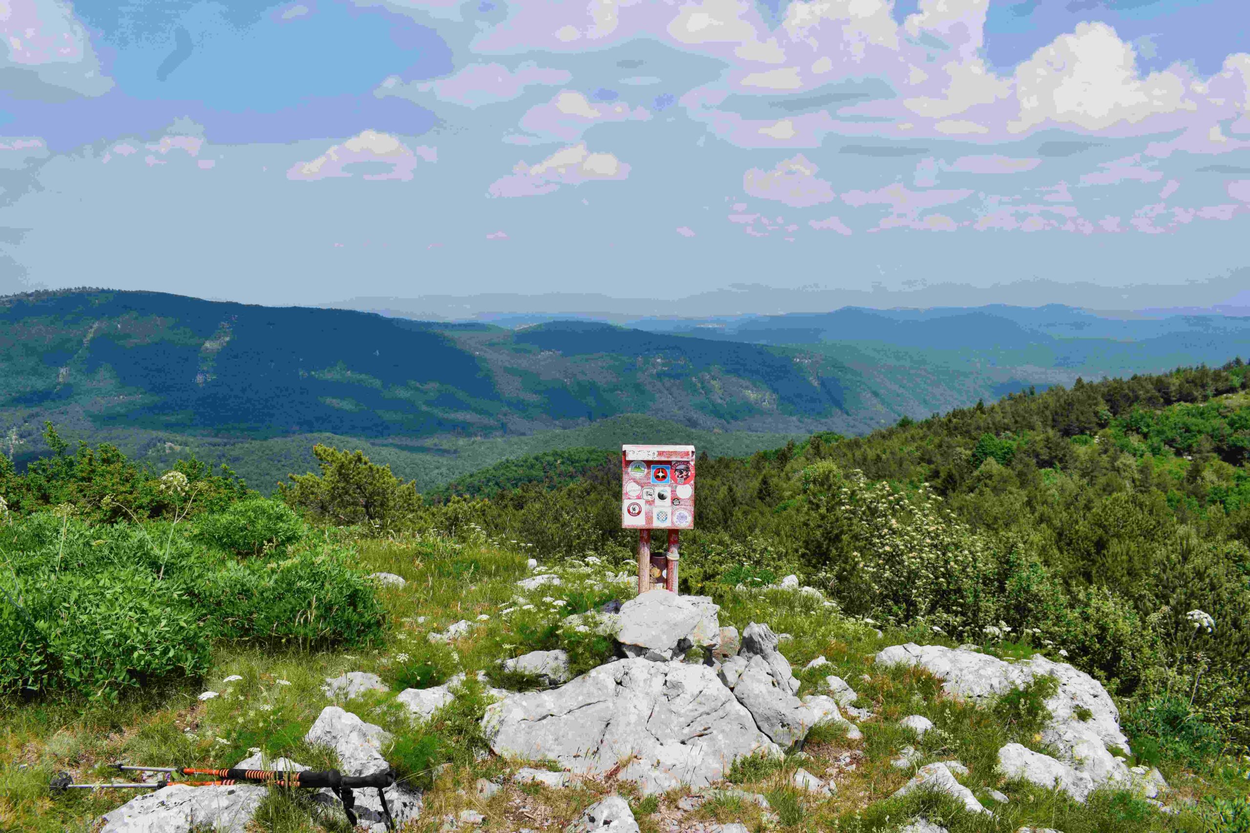
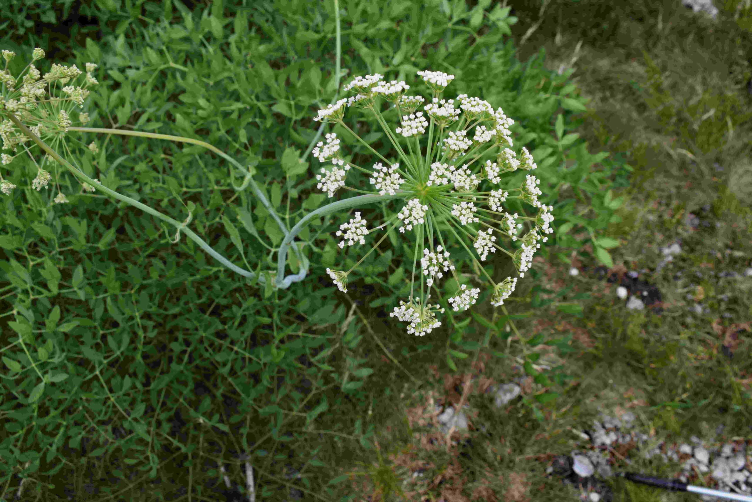
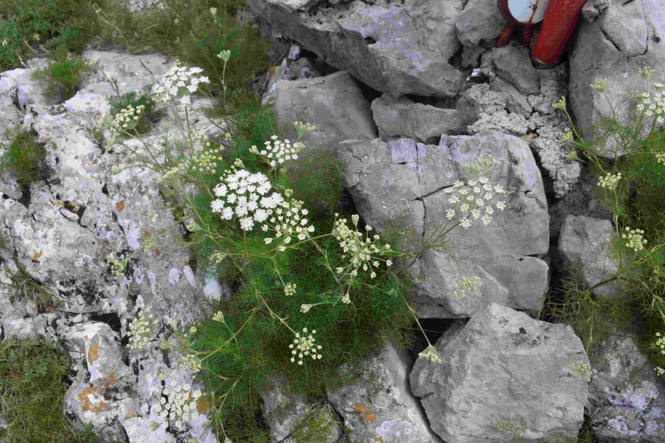
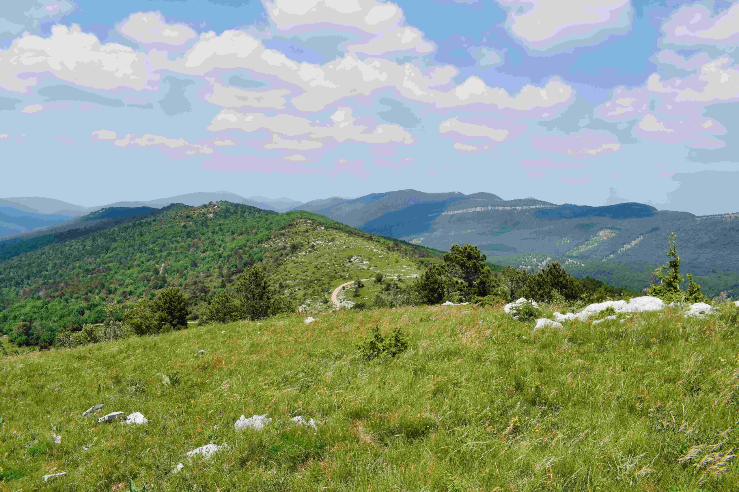
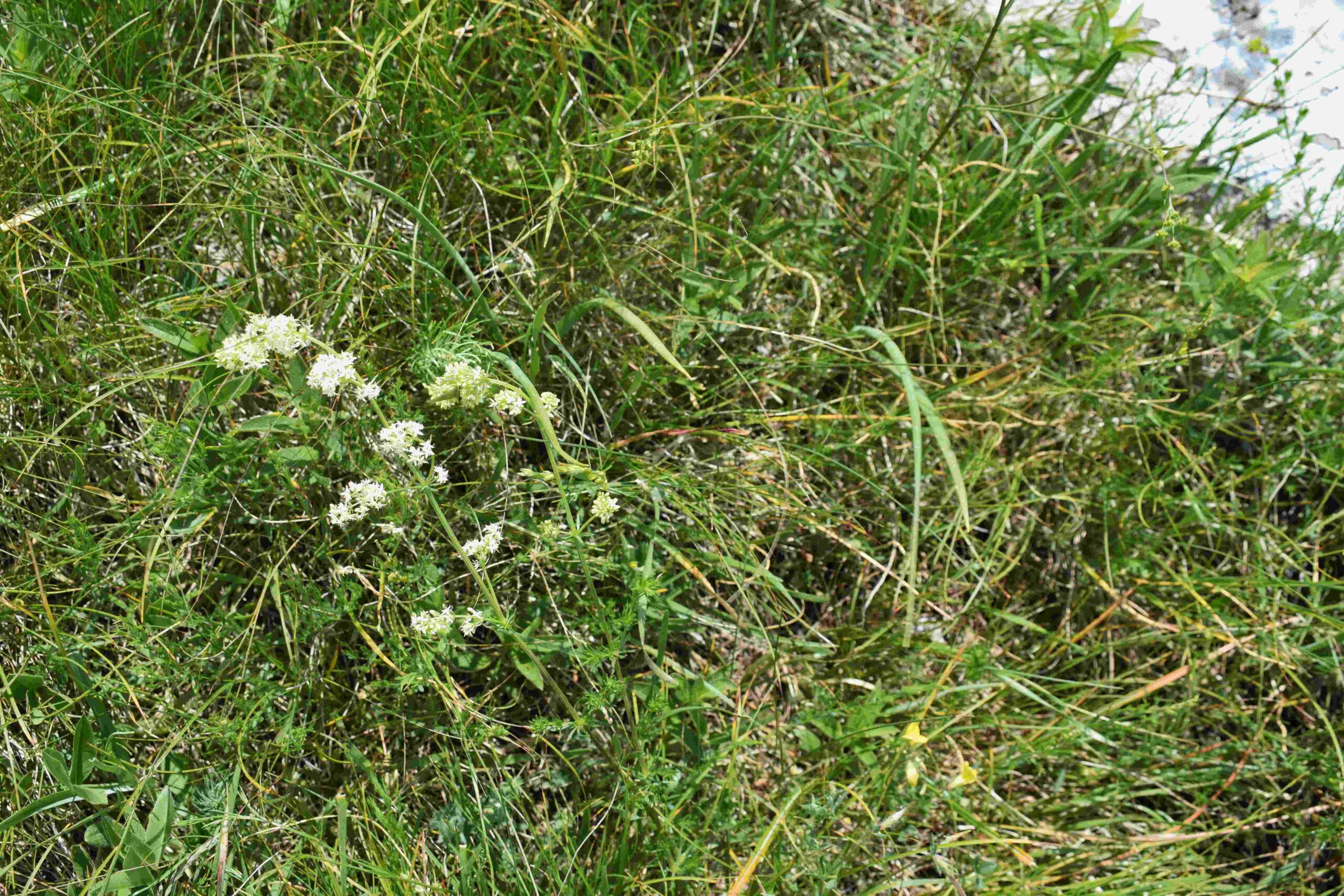
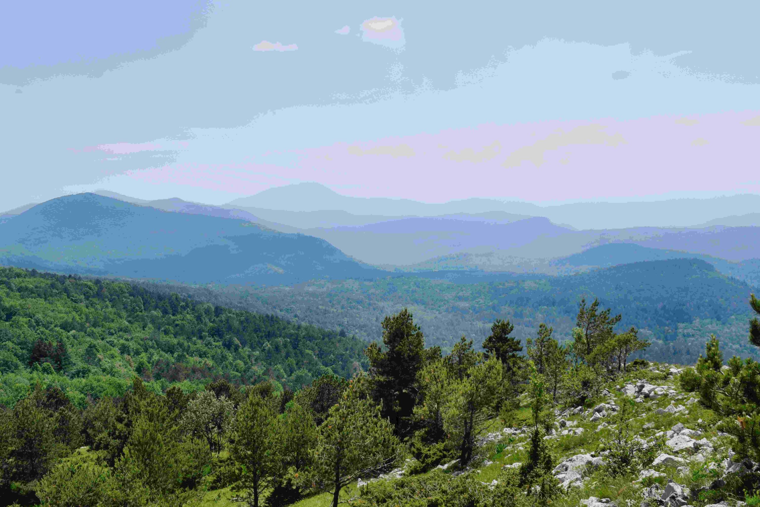
Trail from Račja Vas to the top Gomila on the Mountain plateau Ćićarija. Posted on 2026-05-312026-06-02by JanS DSC_0155DSC_0116DSC_0117DSC_0119DSC_0122DSC_0123DSC_0133DSC_0142DSC_0144DSC_0145DSC_0146DSC_0147DSC_0148DSC_0150 Name: Trail from Račja Vas to the top Gomila on the Mountain plateau Ćićarija. Place: Račja Vas – (Lanišće). Coordinates: Račja Vas 45.42679 N – 14.09629 E, Gomila 45.45342 E – 14.08706 E. Share this: Share on X (Opens in new window) X Share on Facebook (Opens in new window) Facebook