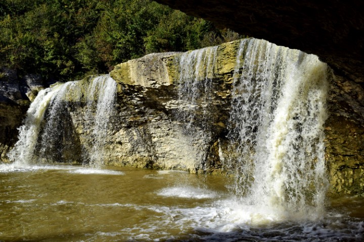
Name: Hiking trail from bridge Sv. Jožefa over the Pazinški river to the Roman way Pazin. watermills (153 – 154).
Place: NearRyavac – (Pazin).
Coordinates: Bridge Jožefa: 45.24530 N – 13.93836 E to 45.24344 N -13.93635 E.

Name: Hiking trail from bridge Sv. Jožefa over the Pazinški river to the Roman way Pazin. watermills (153 – 154).
Place: NearRyavac – (Pazin).
Coordinates: Bridge Jožefa: 45.24530 N – 13.93836 E to 45.24344 N -13.93635 E.