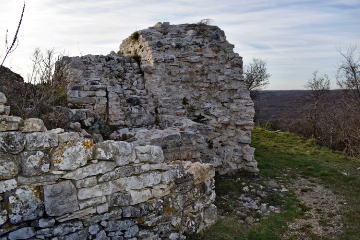
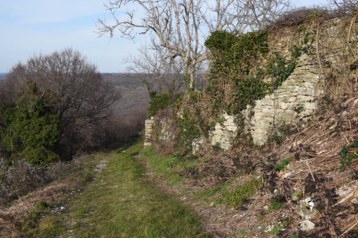
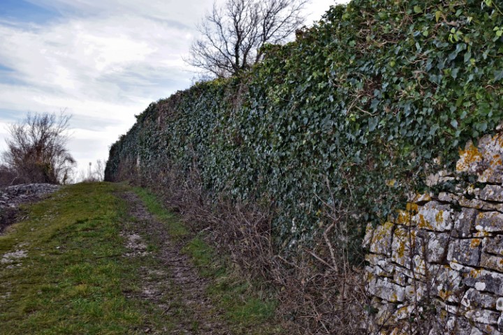
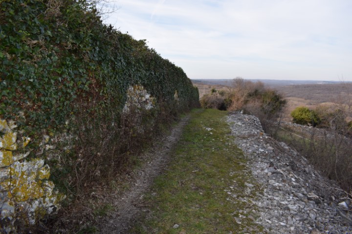
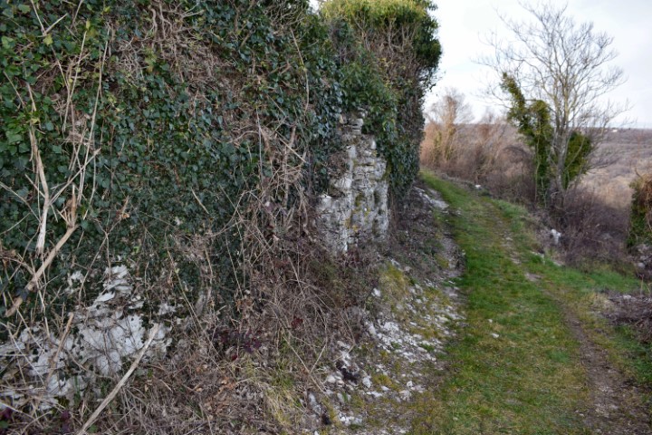
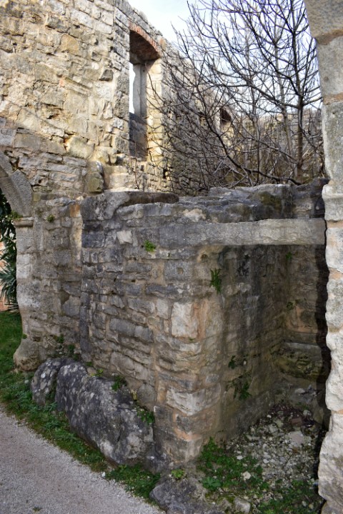
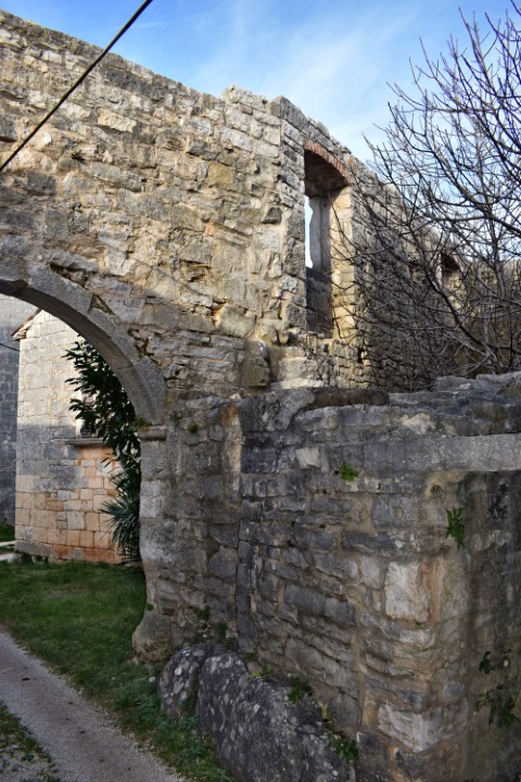
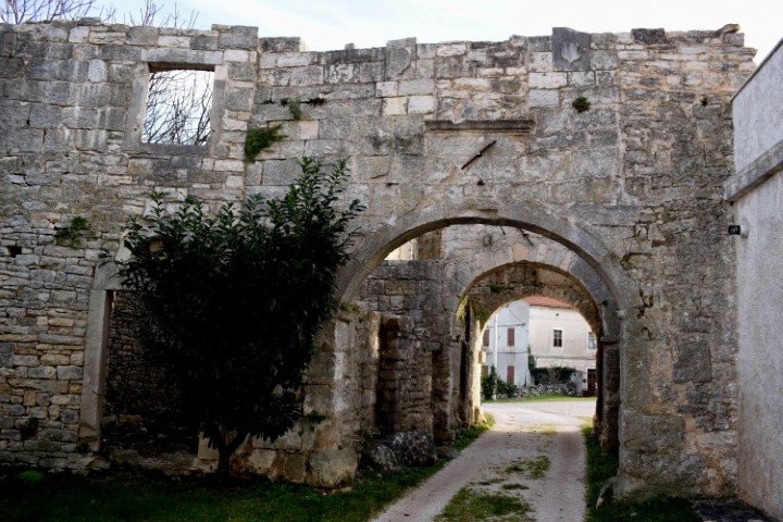
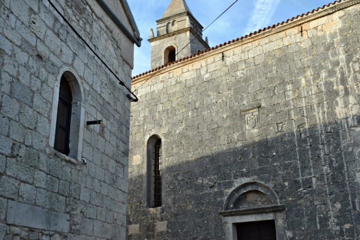
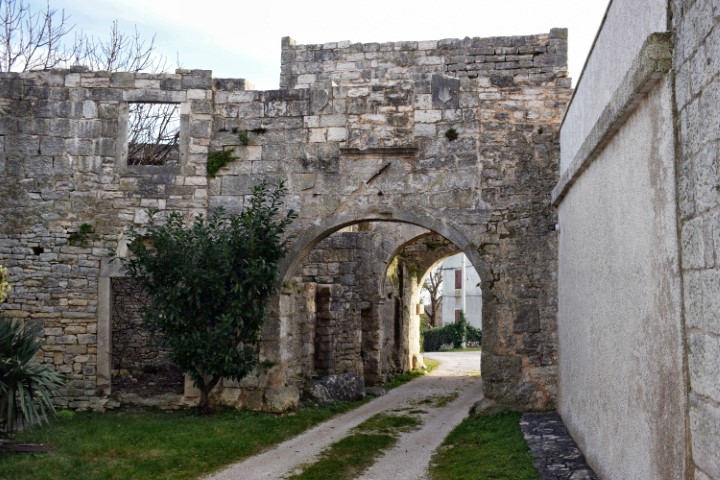
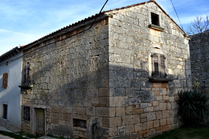
Mutvoran is located 180 meters above sea level on a cliff above the Mutvoranska draga, which stretches from Prodol to Luka Budova. Mutvoran was also a prehistoric settlement from the Bronze and Iron Ages. This can partly be recognized by the wall that was built around Mutvaron, with no mortar between the blocks over a part on the south side of the wall.
For other information see the post dated 2015/04/04


Name: Mutvoran.
Place: Mutvoran – (Marčana).
Coordinates: 44.95929 N – 13.985164 E.