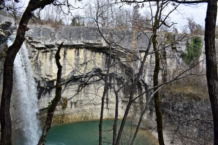
Name: Hiking trail 702 from the church St. Roch in Pičan to the waterfall Sopot.
Places: Lazišće – Slavići – Floričići – Pičan,
River: The Švićki.
Coordinates: Startpoint Pičan 45.20420 N – 14.04033 E, Slap sopot/ bridge 45.21882 N – 14.04385 E.

Name: Hiking trail 702 from the church St. Roch in Pičan to the waterfall Sopot.
Places: Lazišće – Slavići – Floričići – Pičan,
River: The Švićki.
Coordinates: Startpoint Pičan 45.20420 N – 14.04033 E, Slap sopot/ bridge 45.21882 N – 14.04385 E.