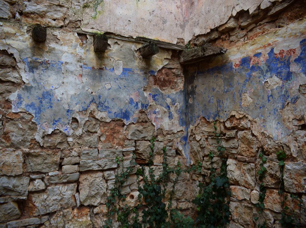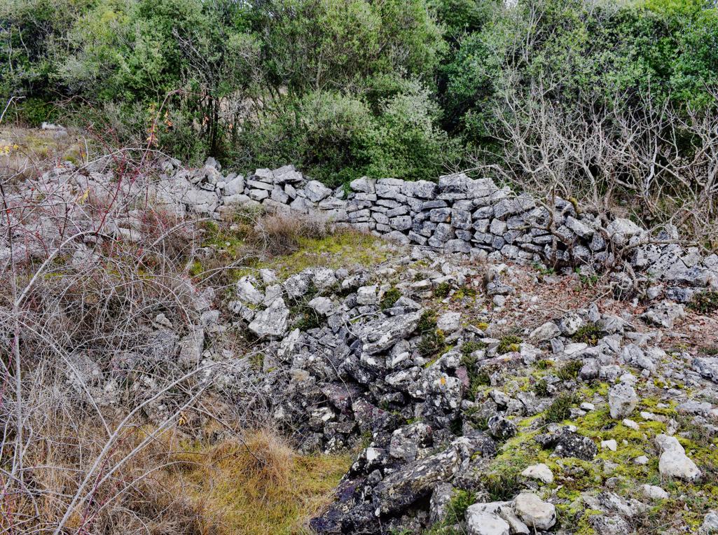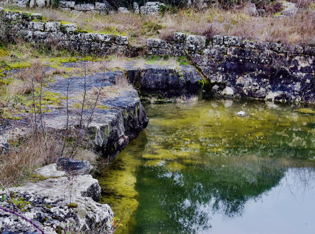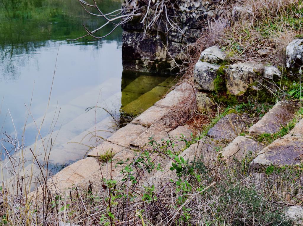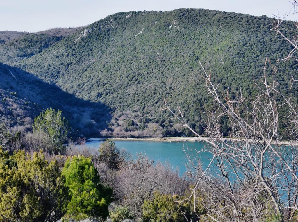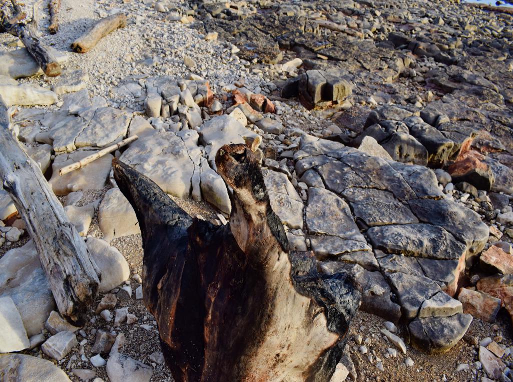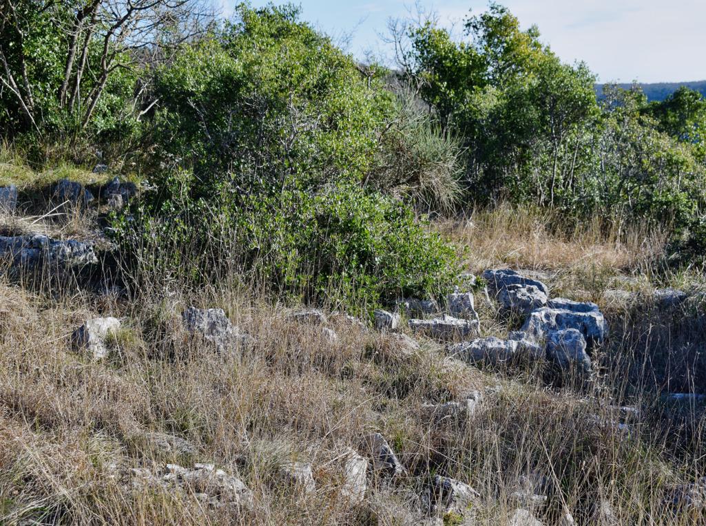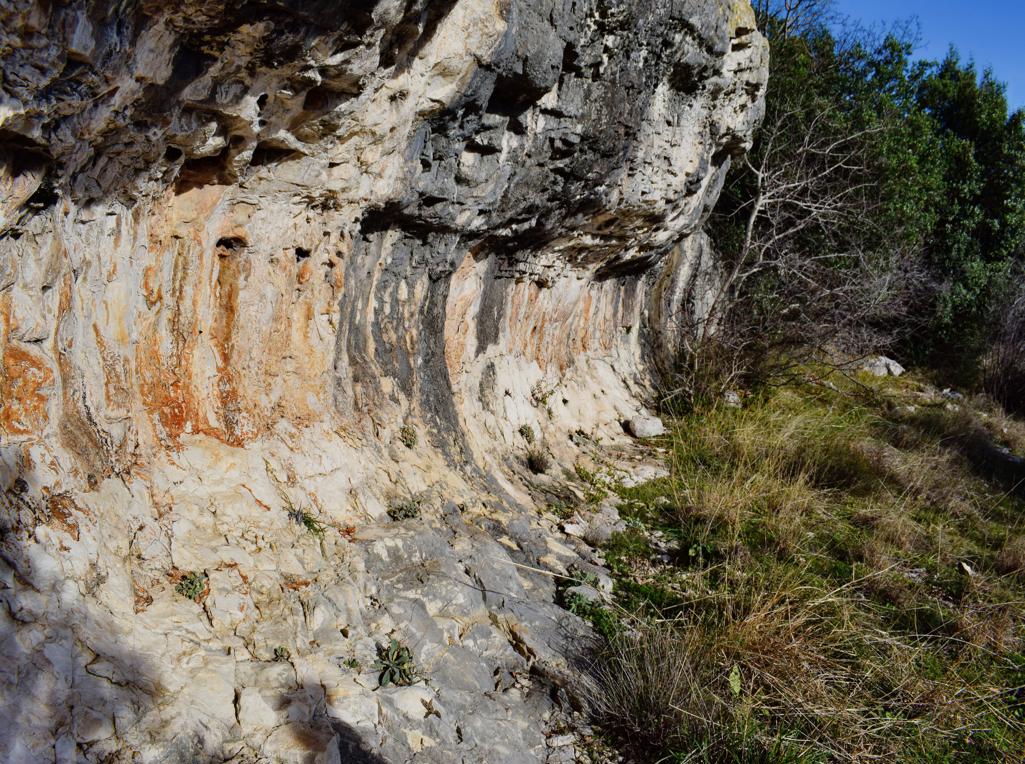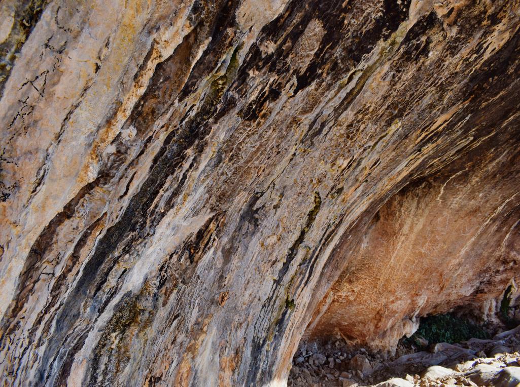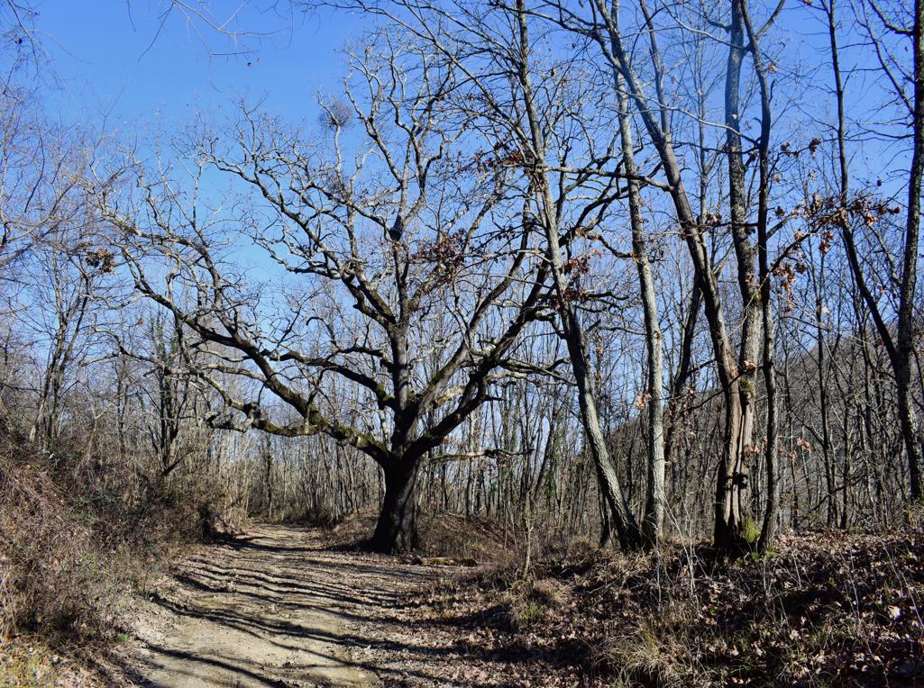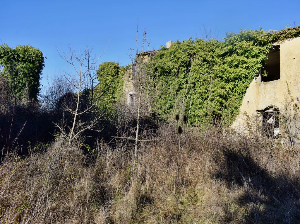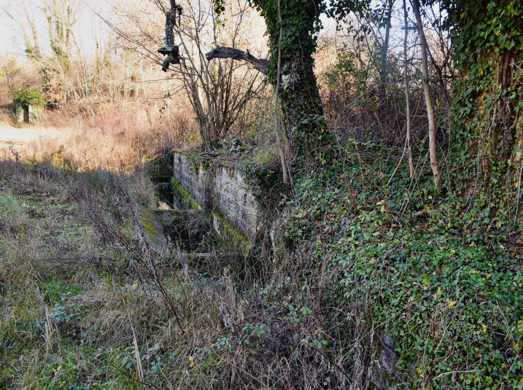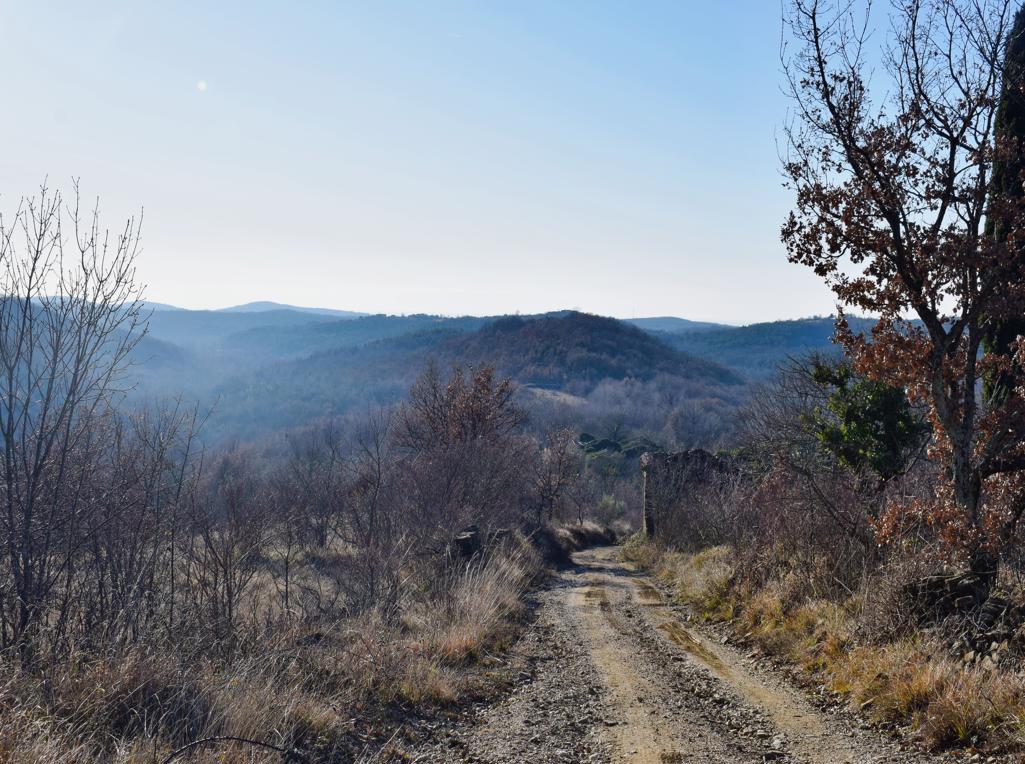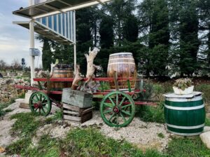
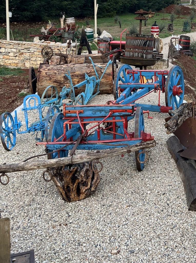
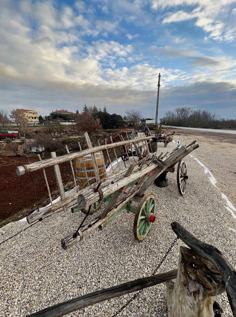
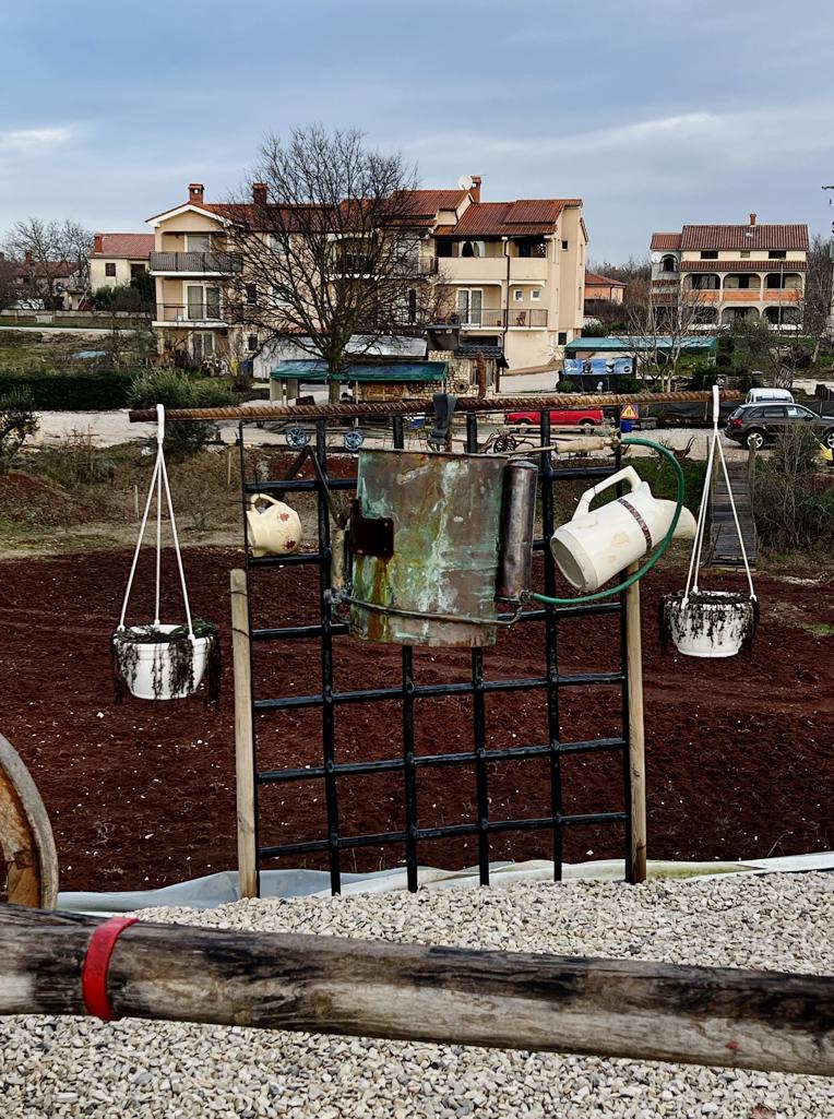


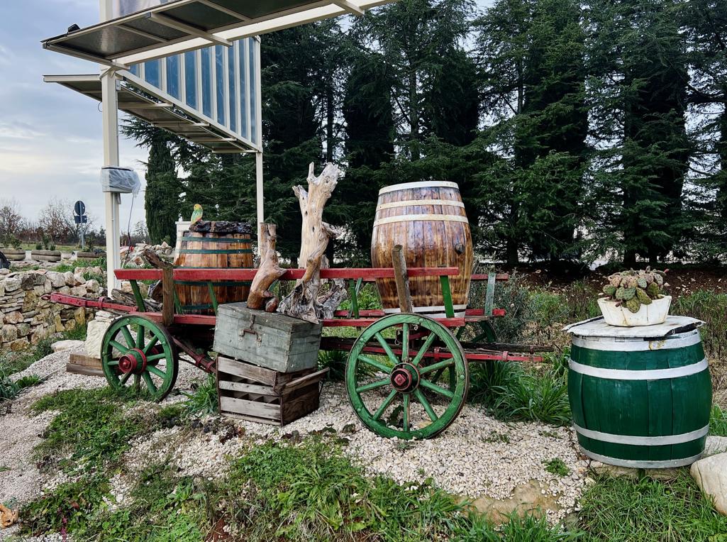

Name: Agriculture comes alive in Žbandaj – U Žbandaju poljoprivreda oživljava.
Place: Žbandaj – (Poreč).
Coordinates: 45.20962 N – 13.69128 E.
Pictures: Carla Bubičić.
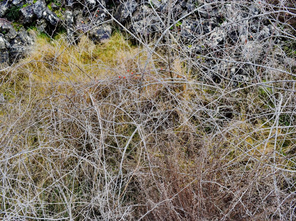
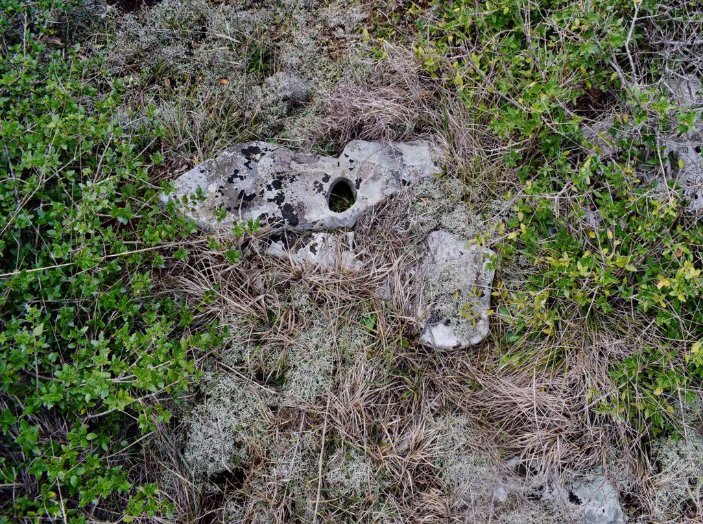
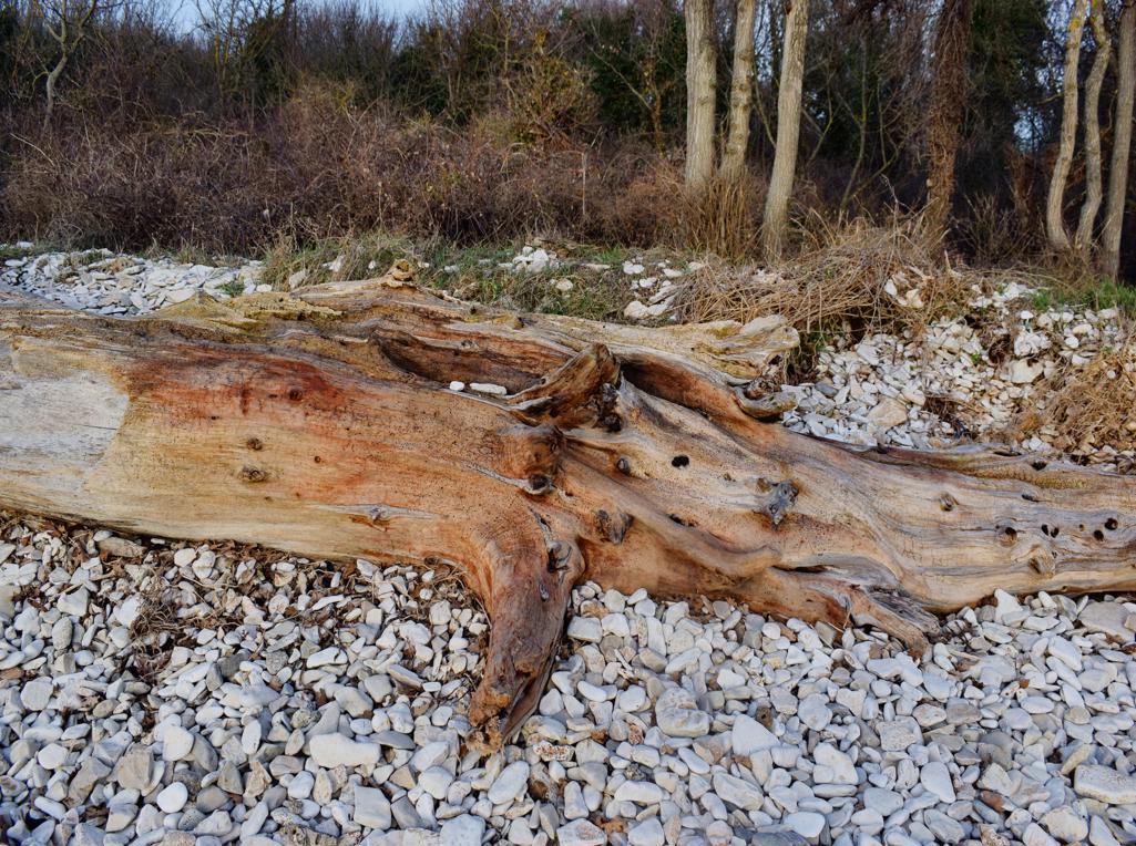
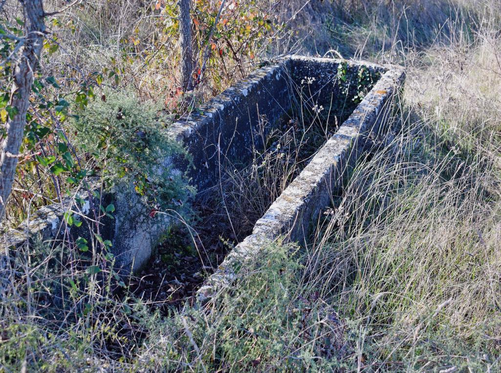
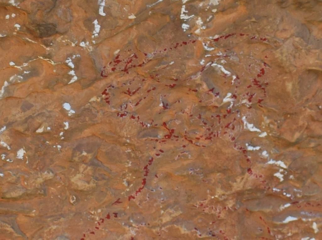
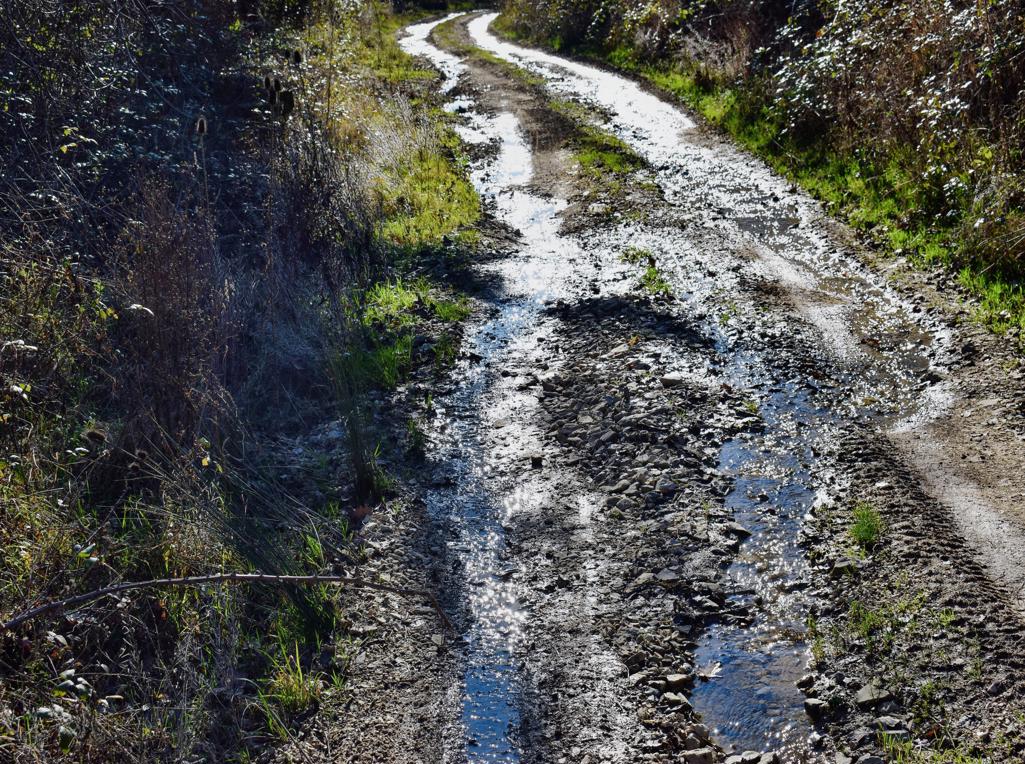
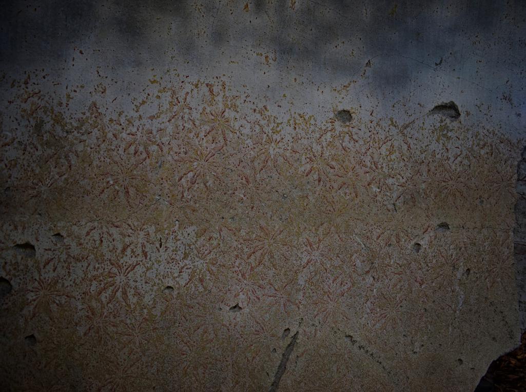
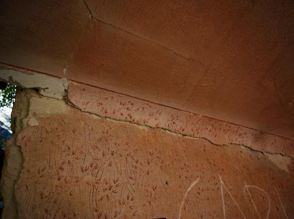
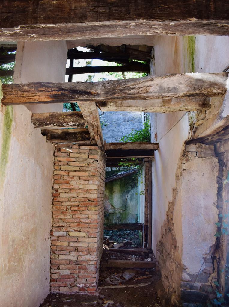
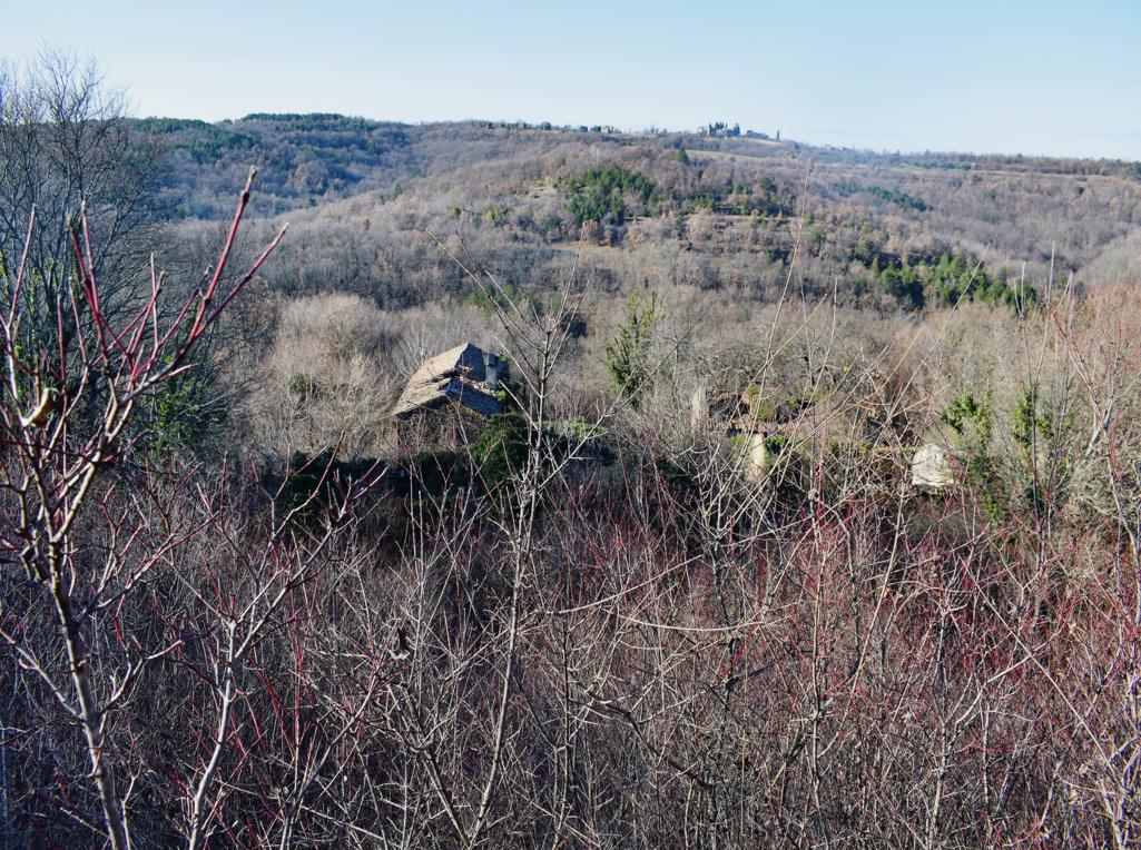
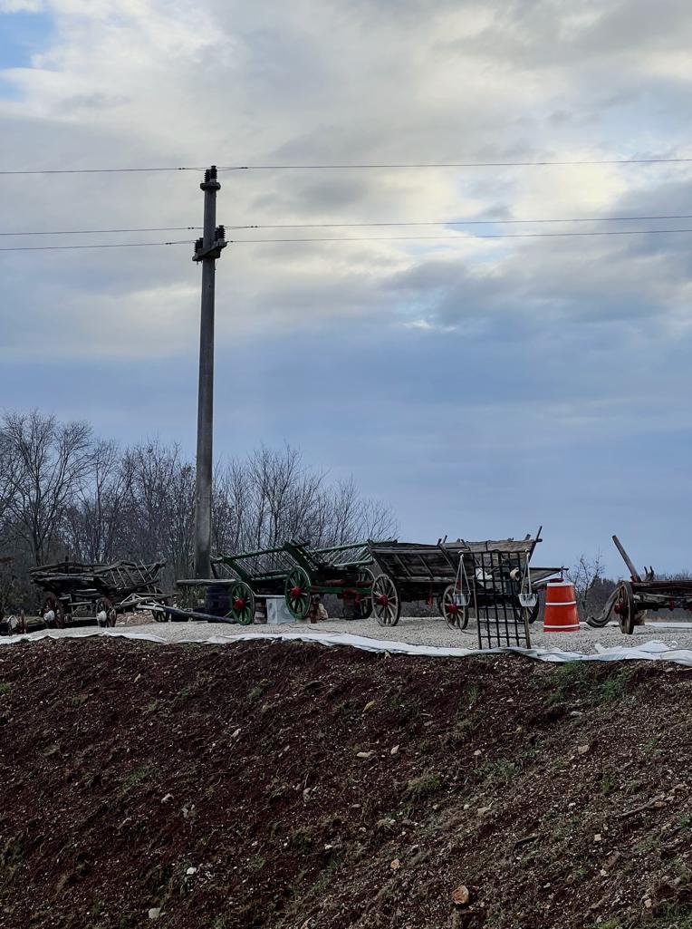
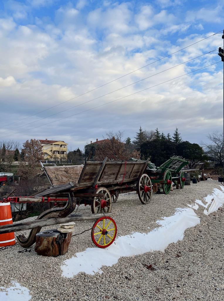
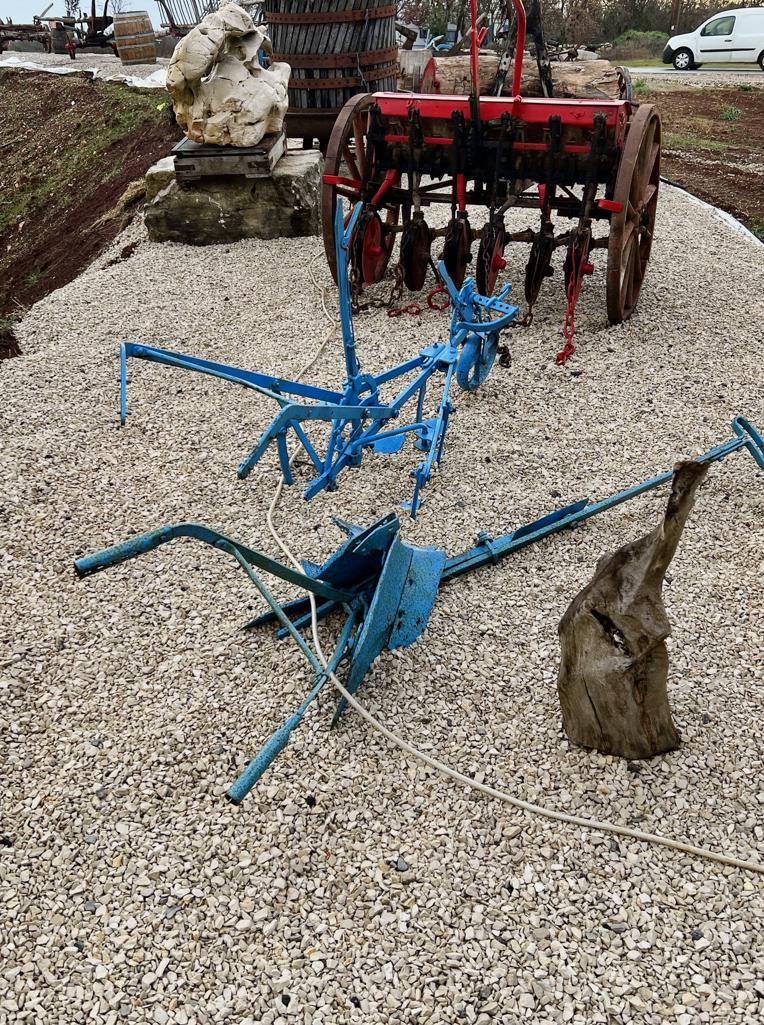
Name: Agriculture comes alive in Žbandaj – U Žbandaju poljoprivreda oživljava.
Place: Žbandaj – (Poreč).
Coordinates: 45.20962 N – 13.69128 E.
Pictures: Carla Bubičić.
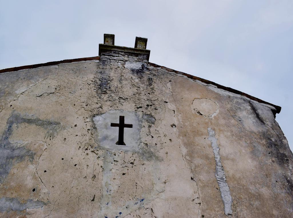
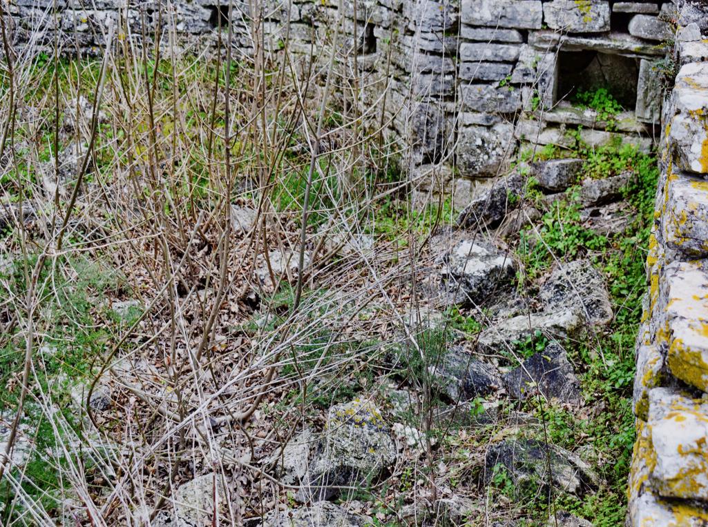
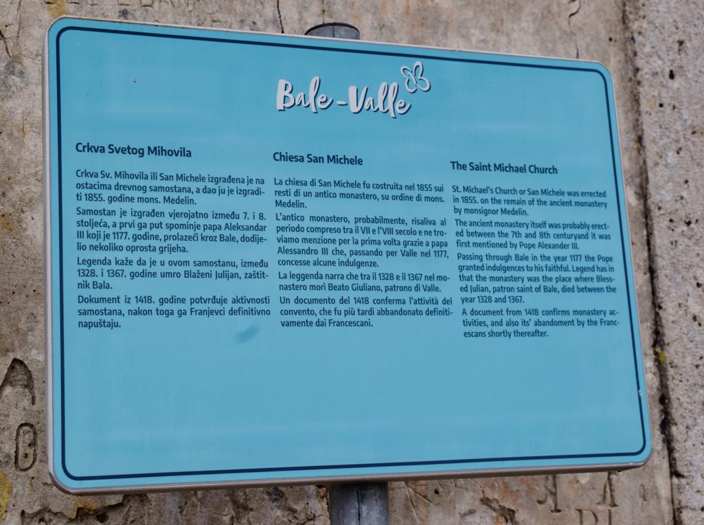
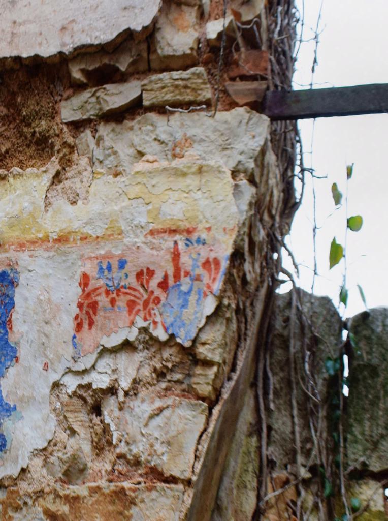
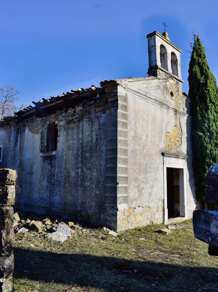
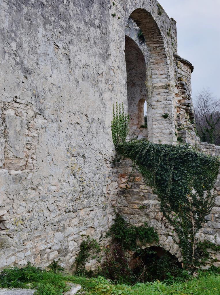
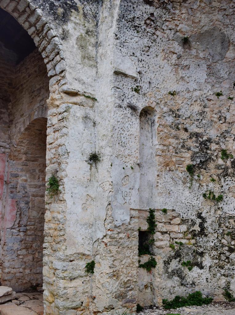
On the hill Sv. Mihovil was built a monastery in the 7th century and in 1855 a church named St. Michael.
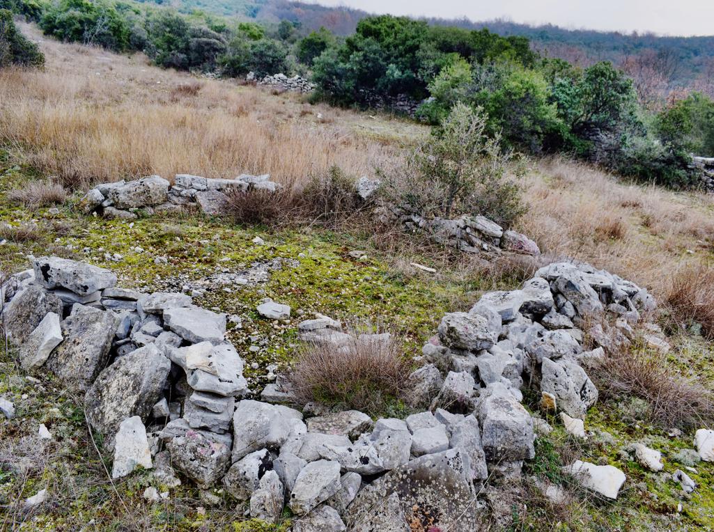
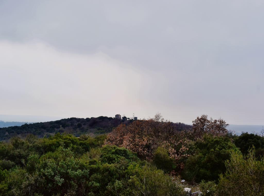
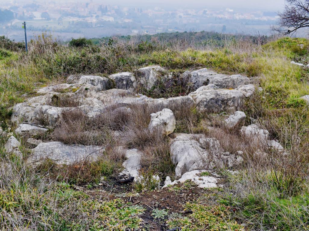
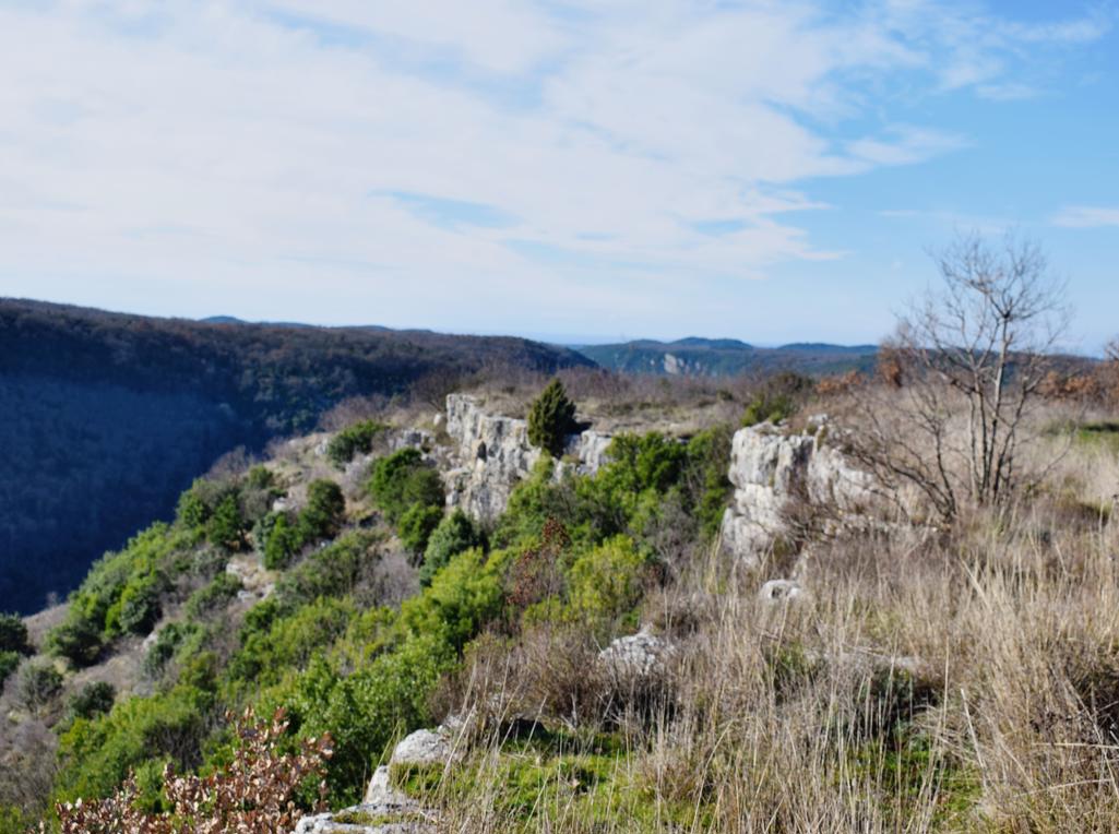
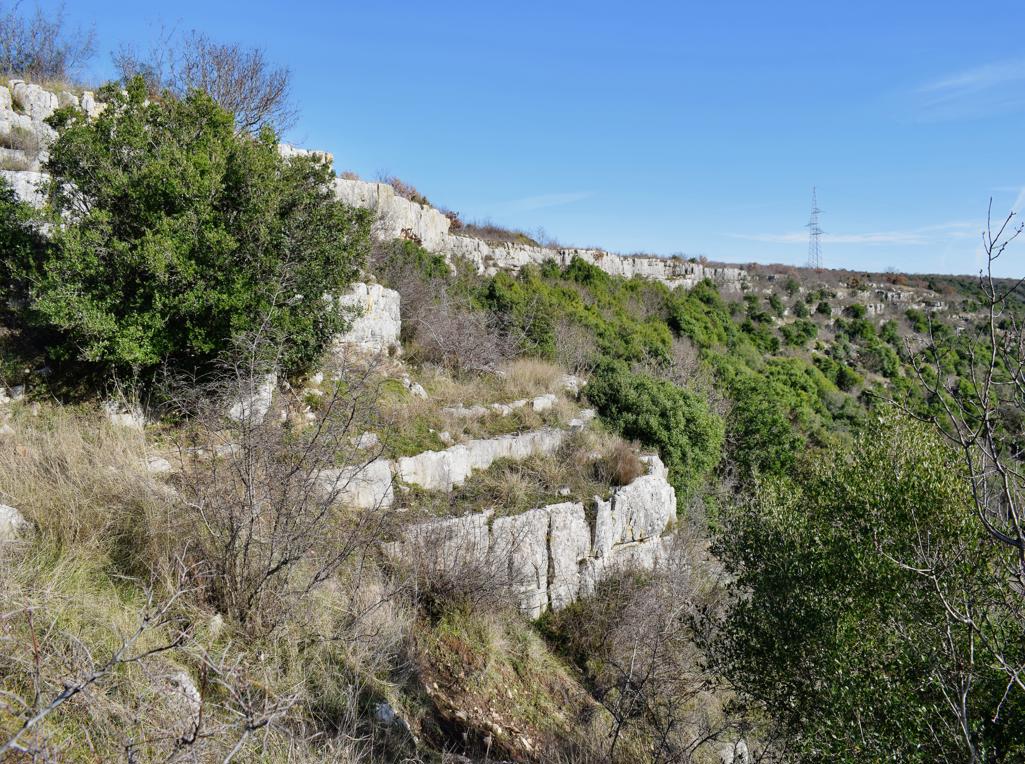
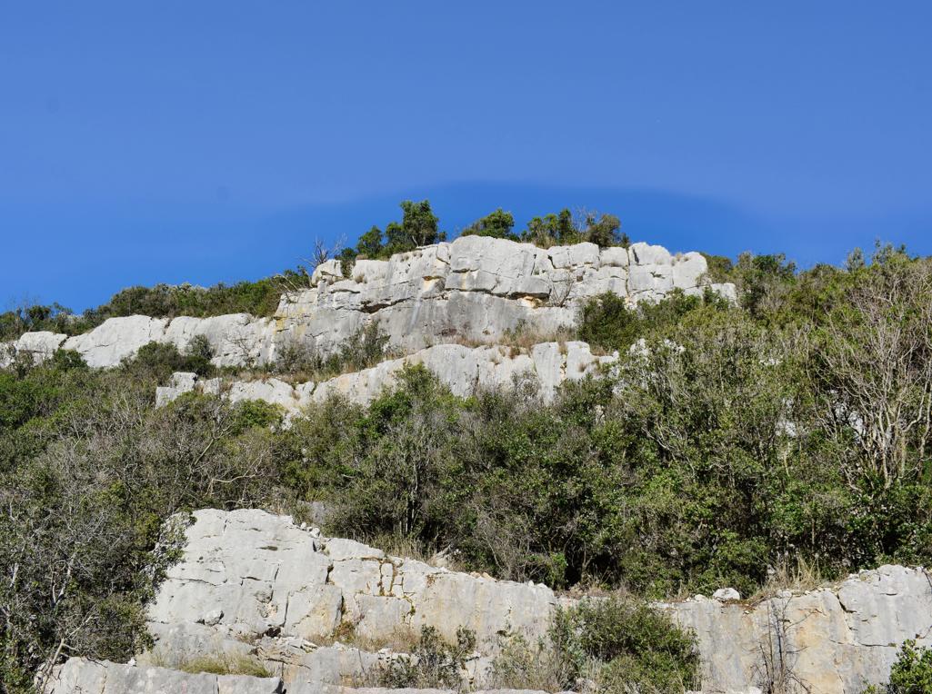
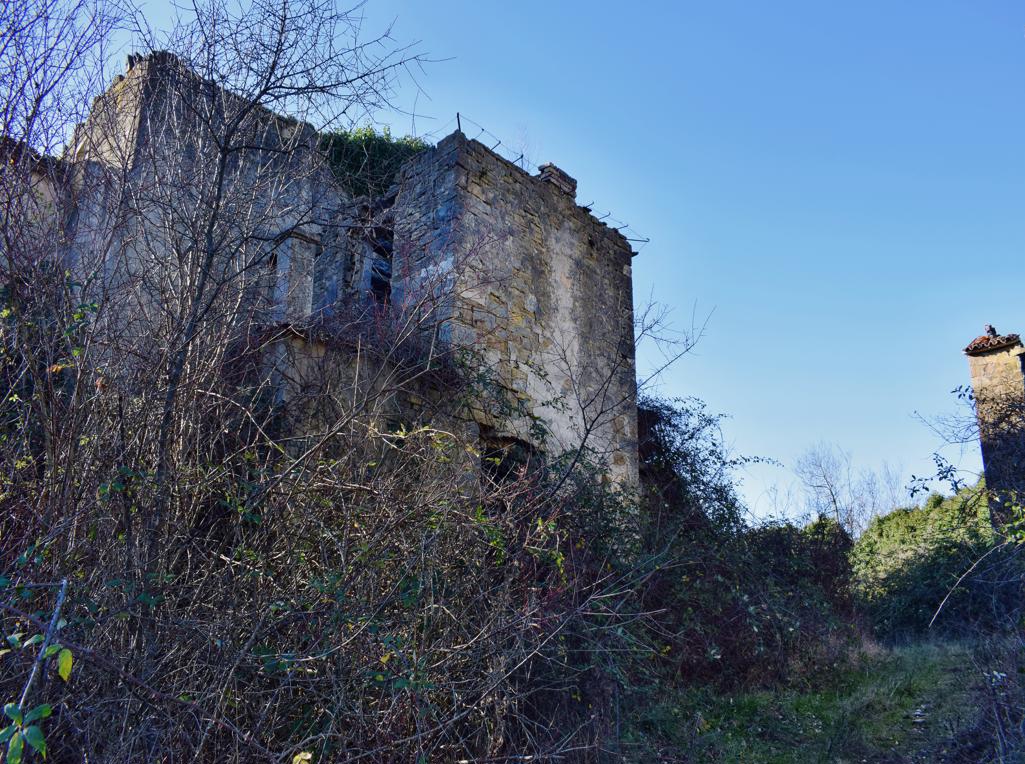
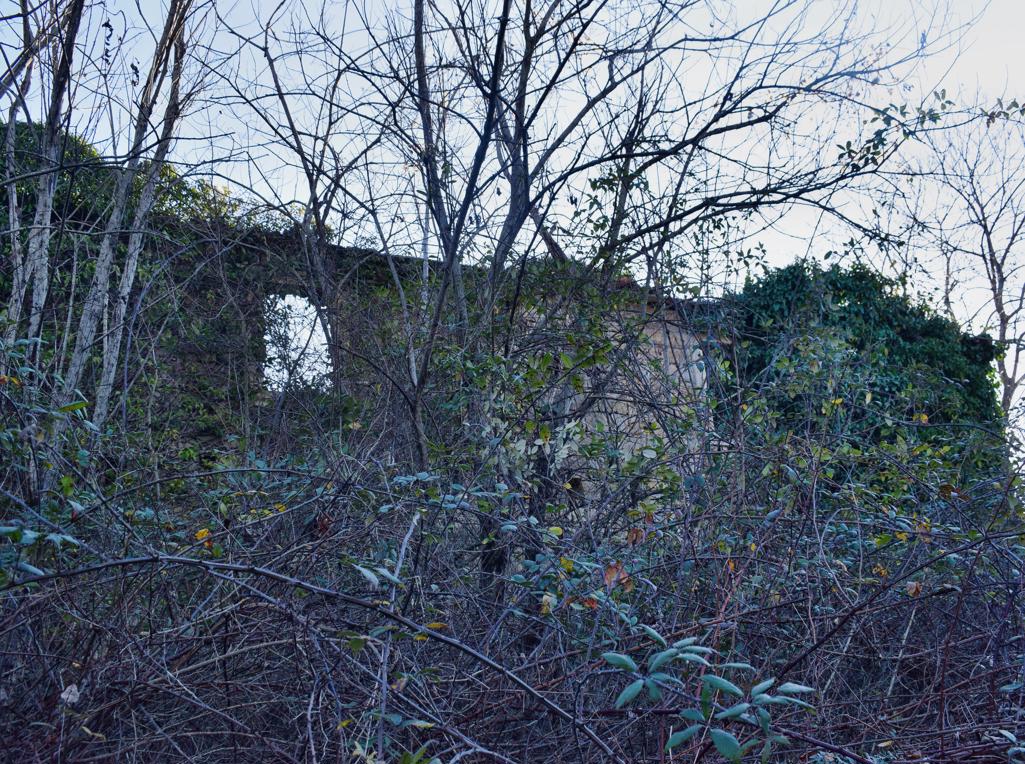
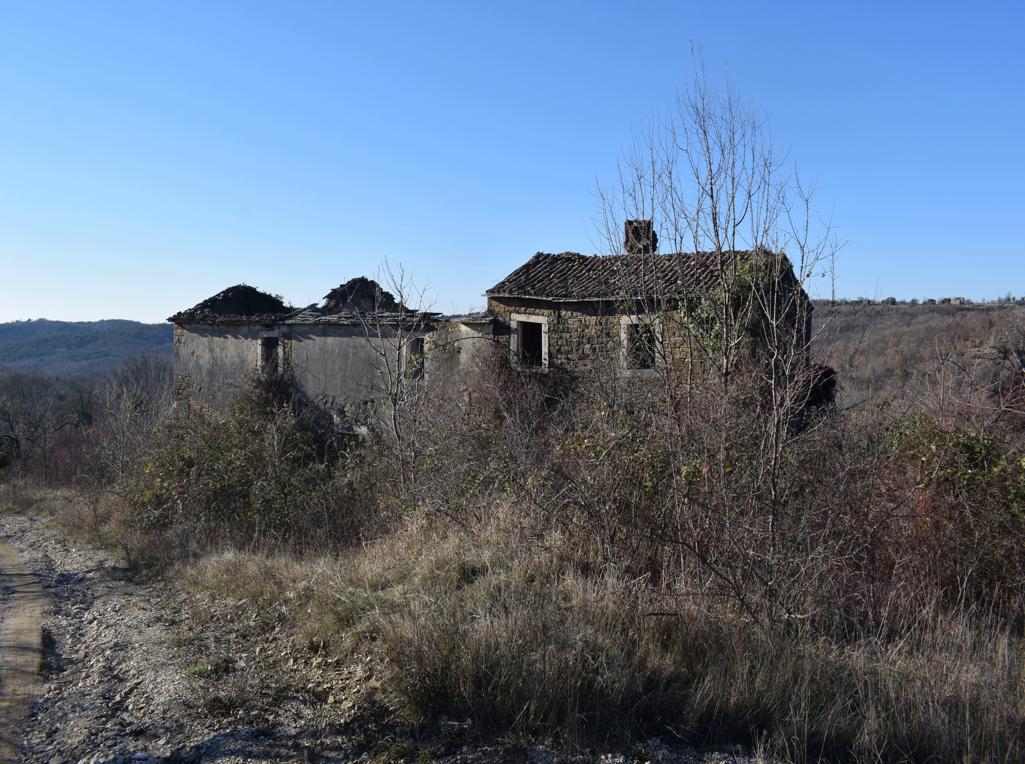
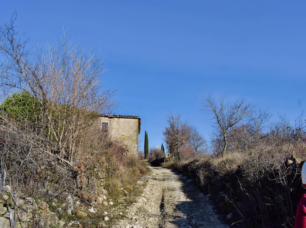
Name: Prehistoric settlement on the hills Sveti Mihovil and Forke .
Place: Bale
Coordinates. Church St. Michael 45.03820 N -13.79952 E, Top Forke
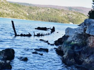
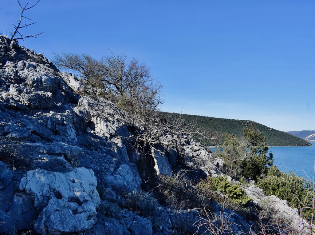
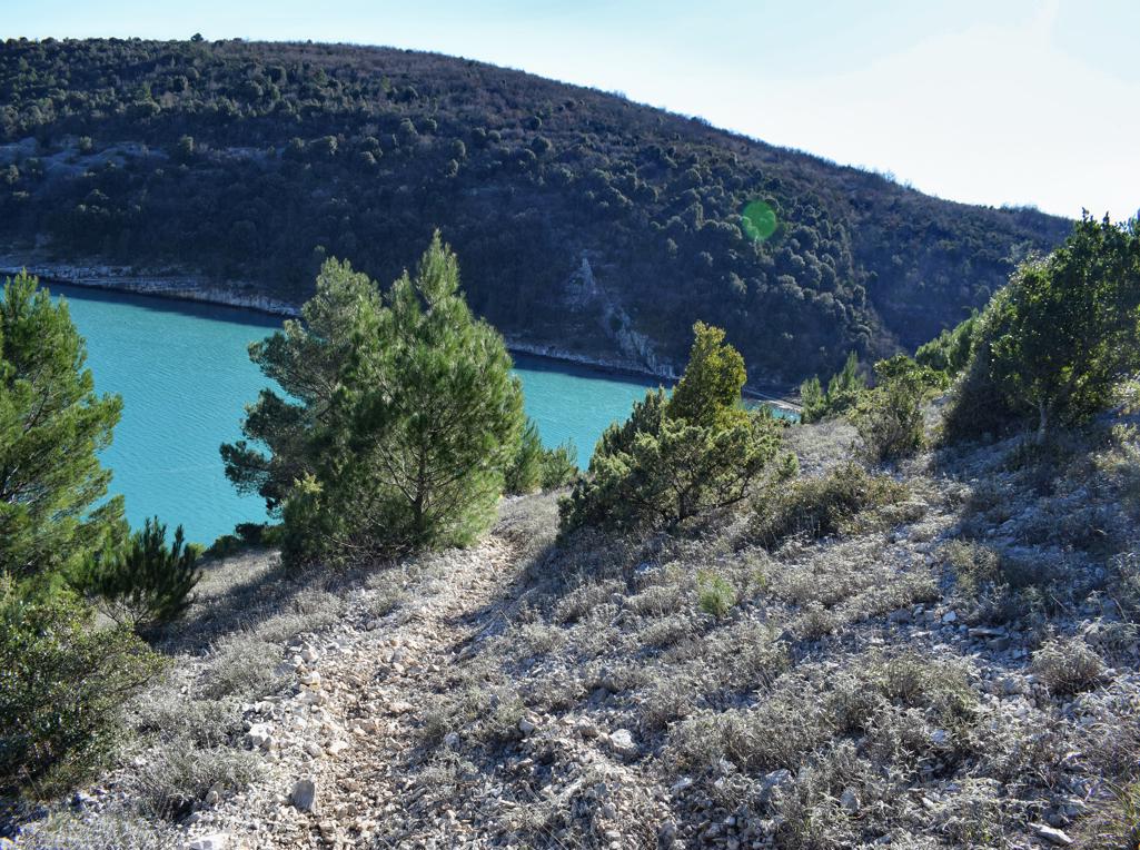
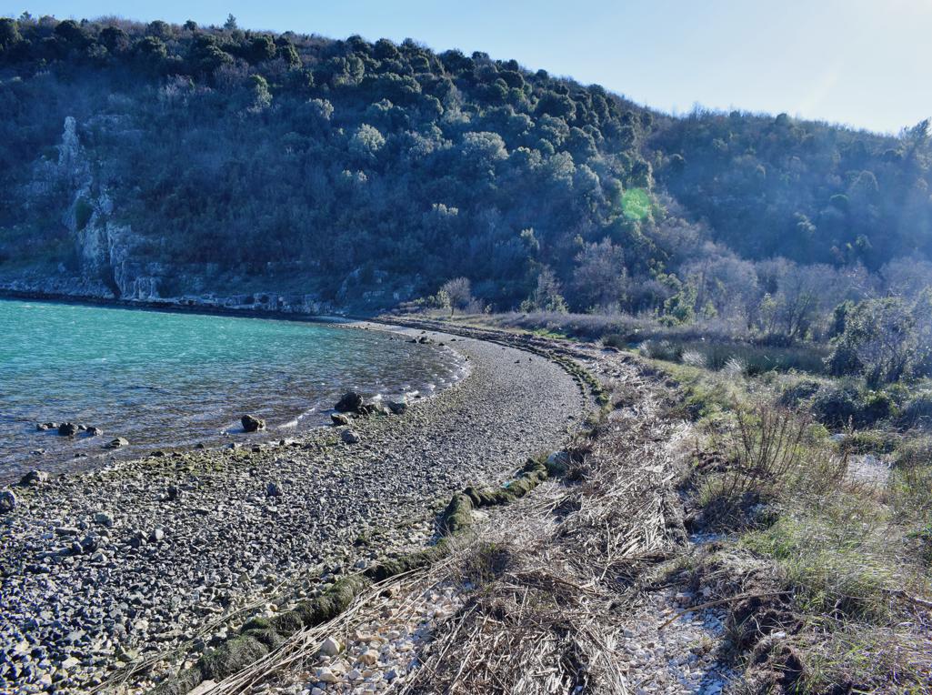
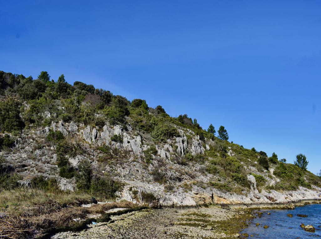
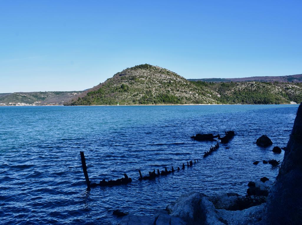
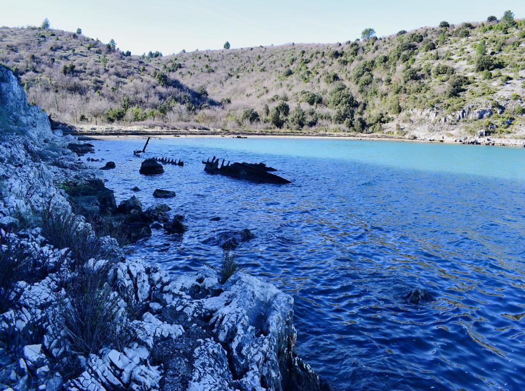
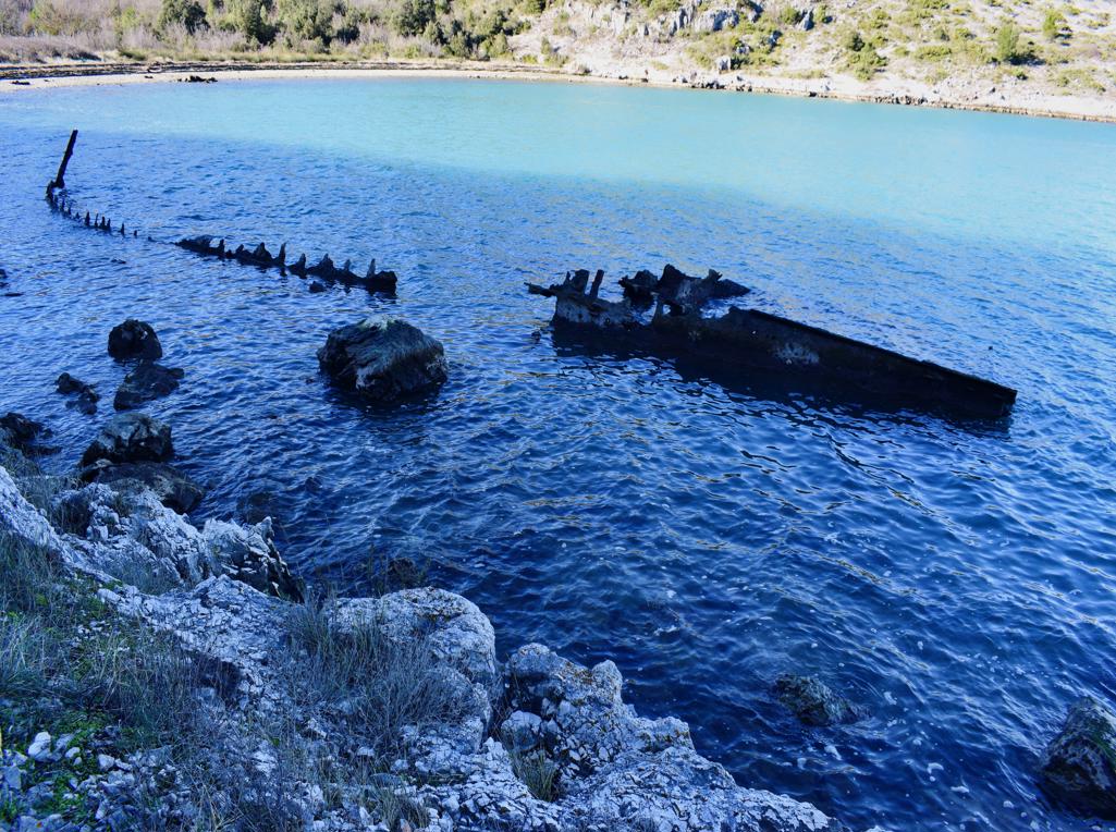
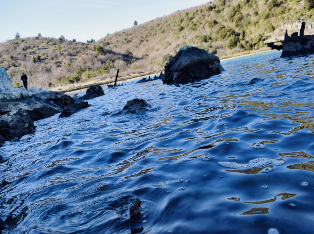
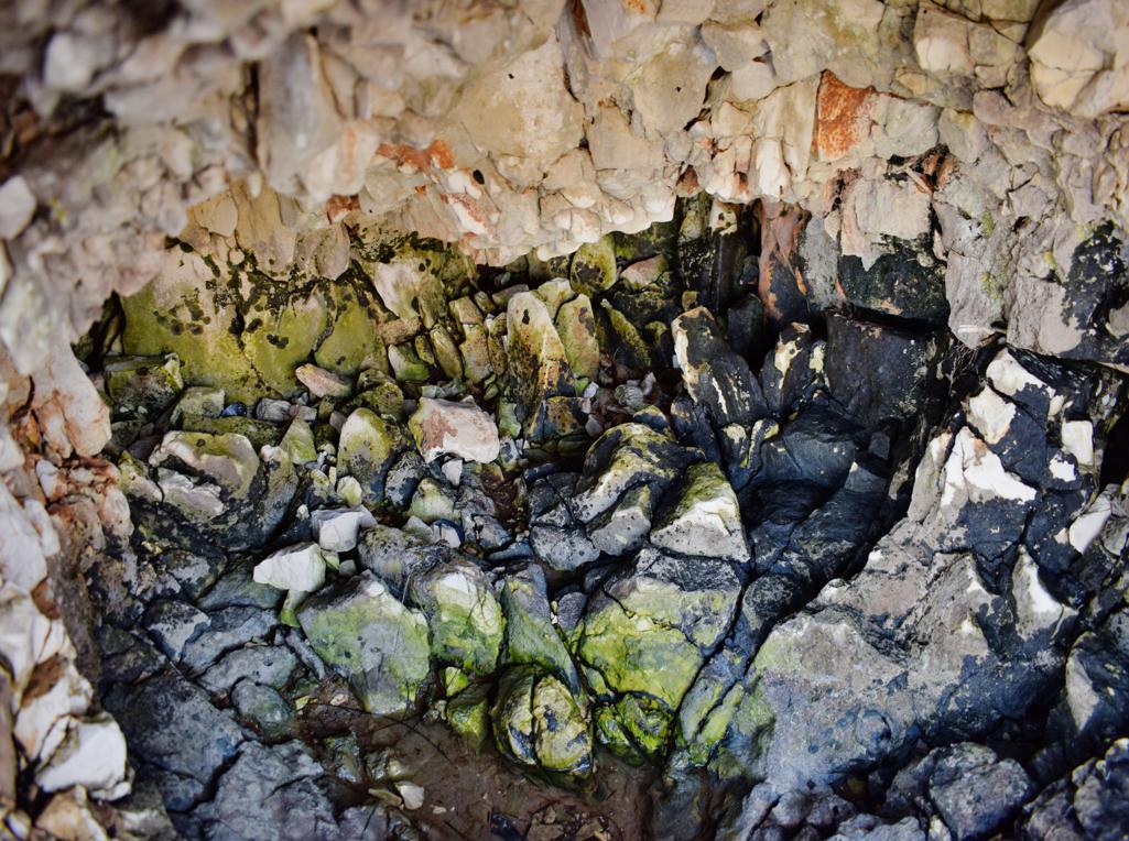
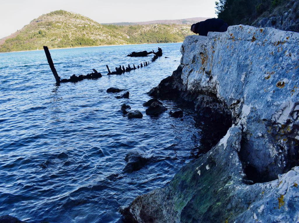
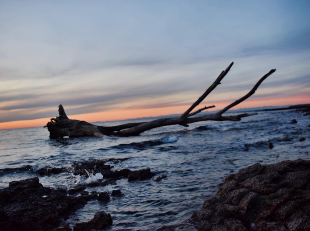
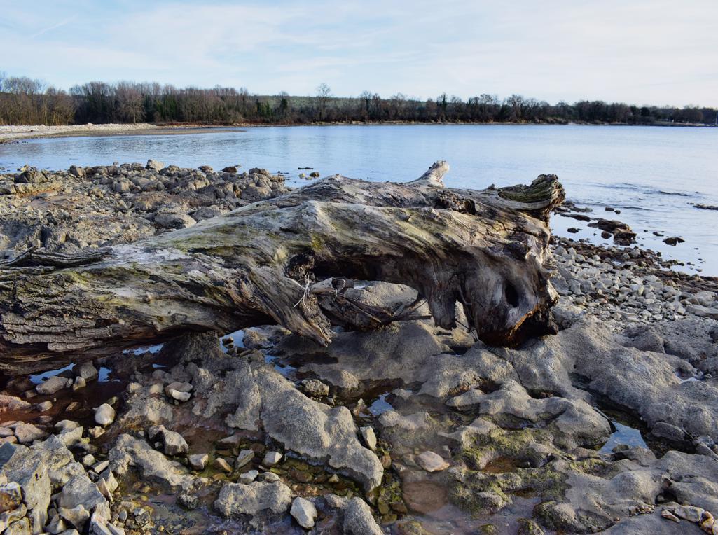
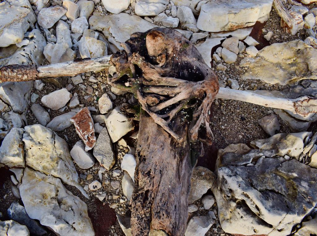
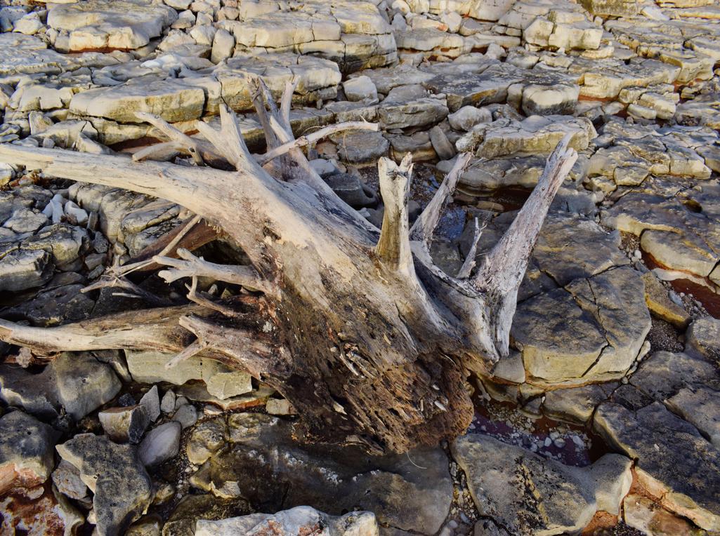
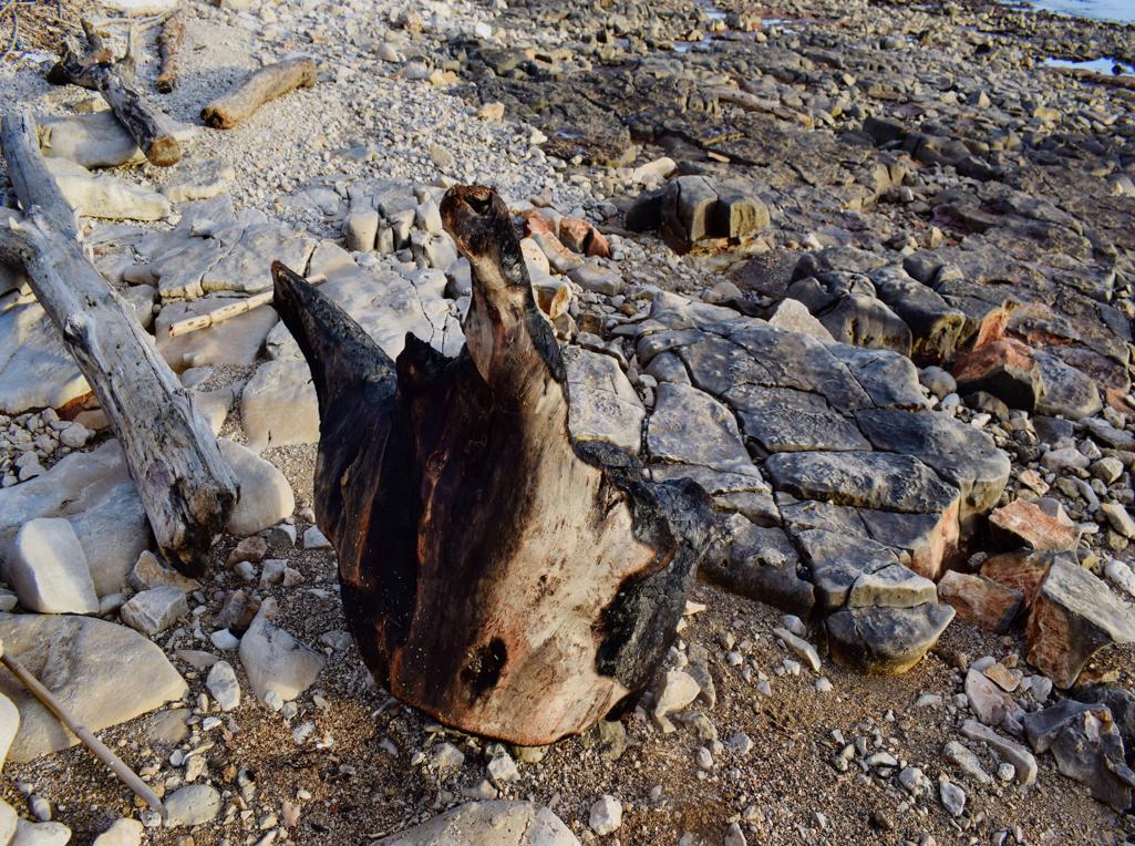
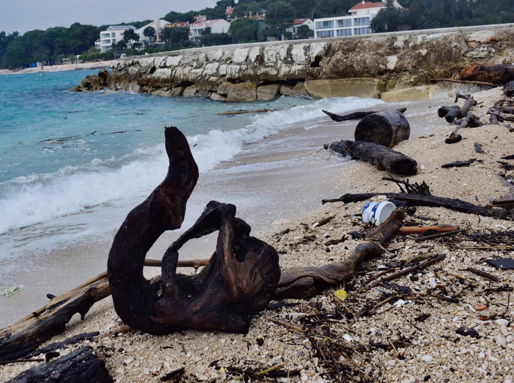
Name: Hiking trail to the Bay Salemušćica with a wreck.
Place: Rakalj – (Marčana).
Coordinates: Start: 44.99792 N – 14.04201 E, Bay: 44.99670 N -14.04801 E.

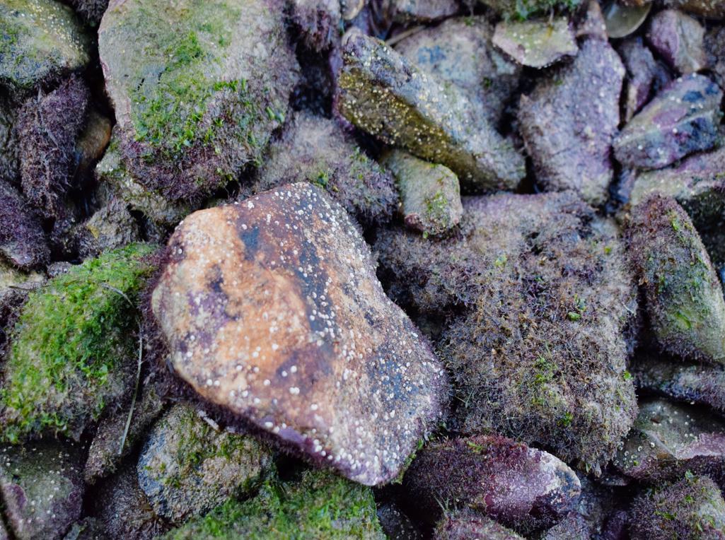
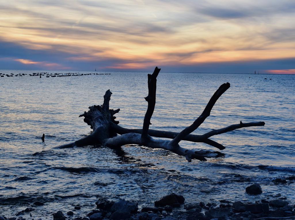
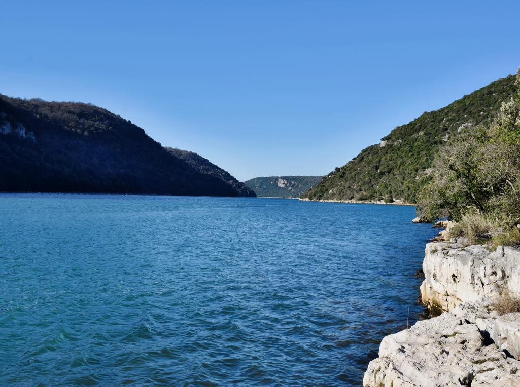
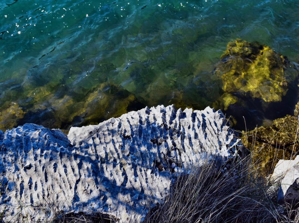
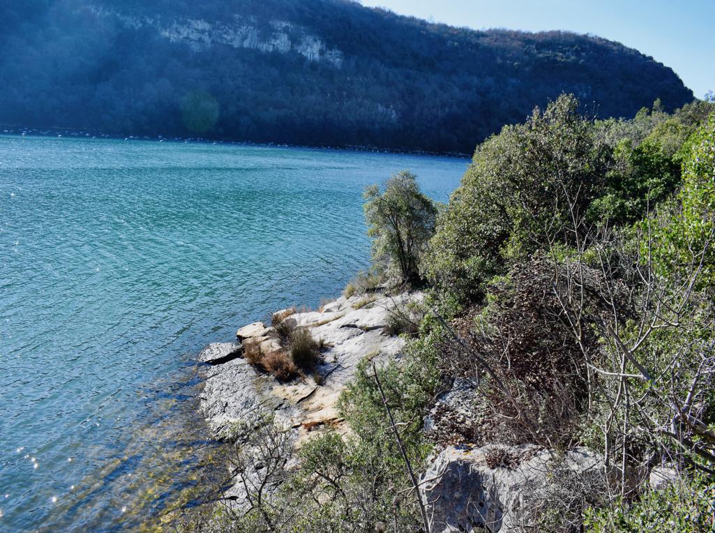
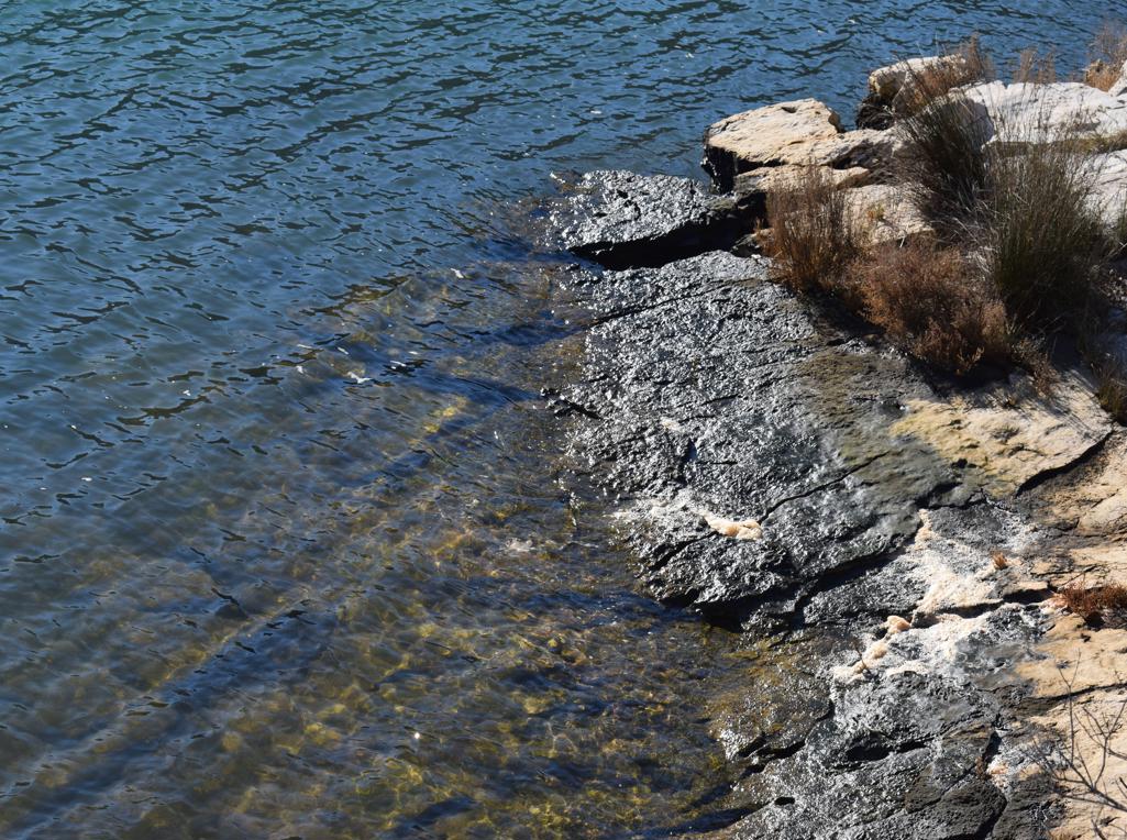
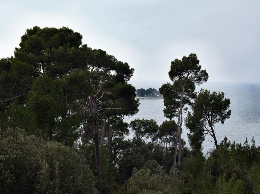
Name: Coast bay Mrčanela – Červar Porat.
Place: Červar Porat – (Poreč).
Coordinates: 45.27396 N – 13.58300 E.
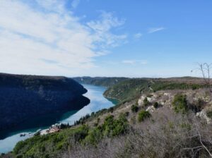
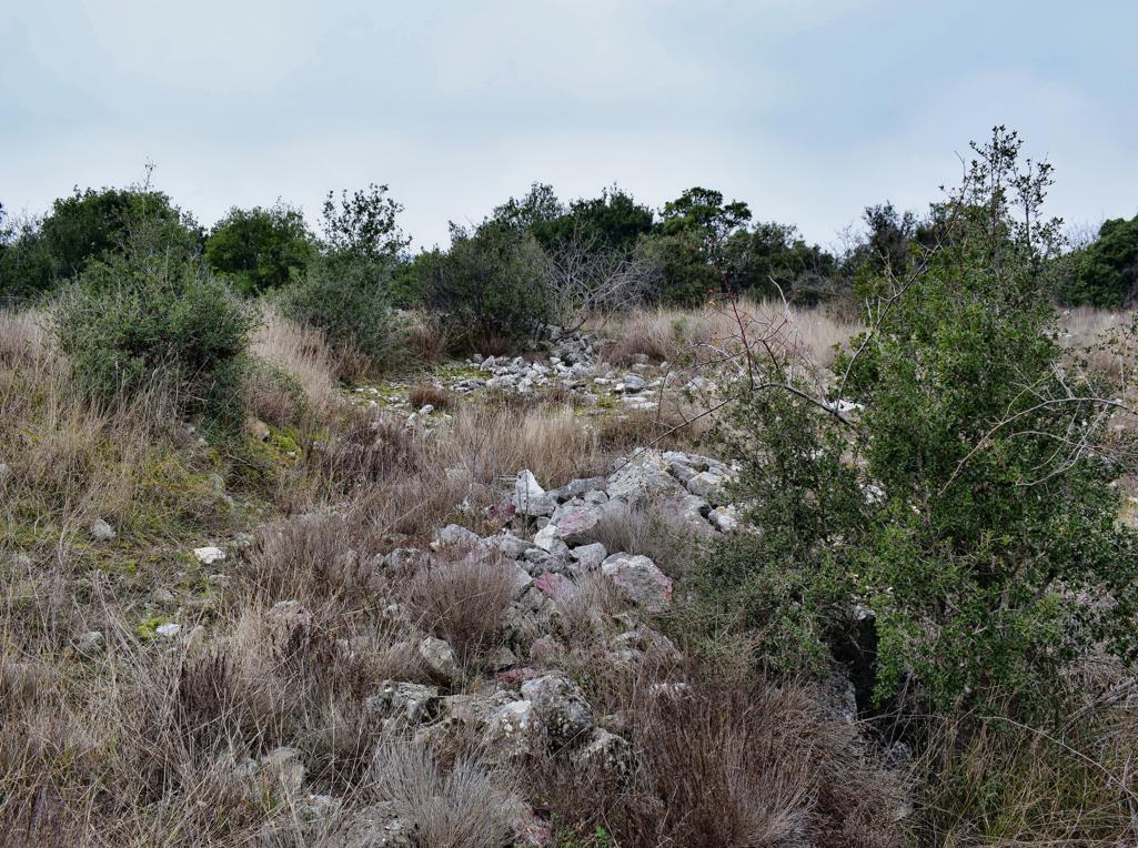
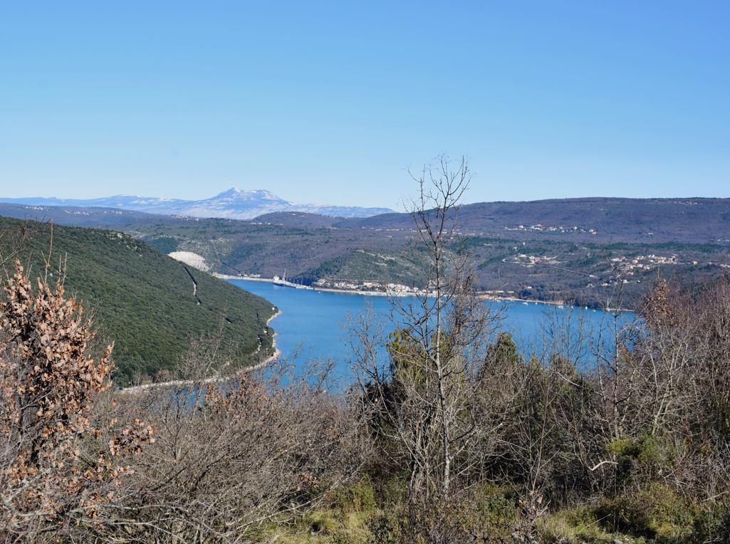
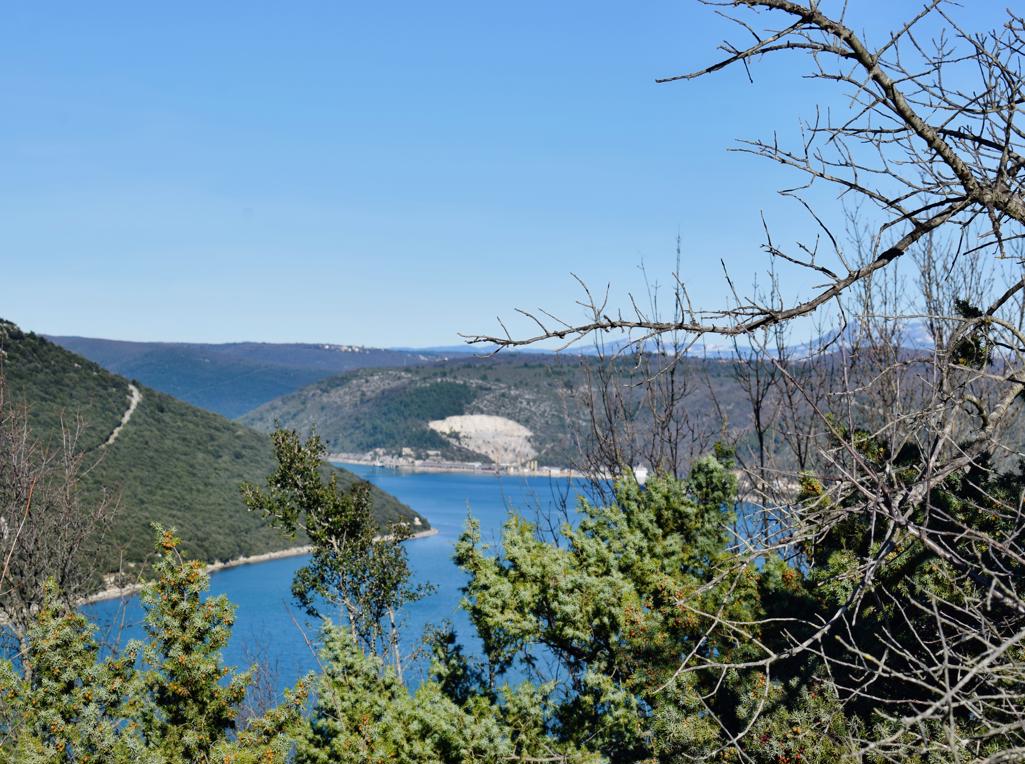
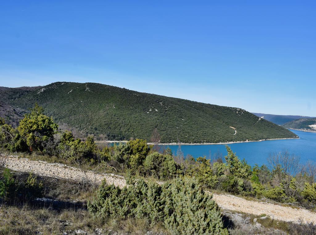
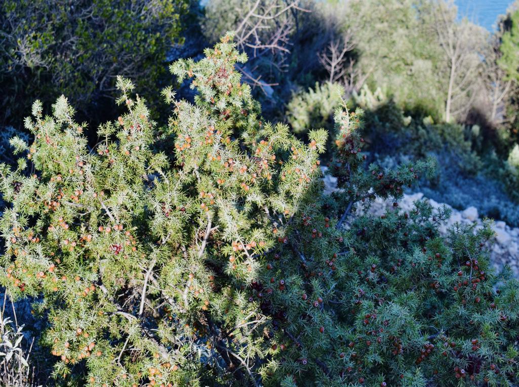
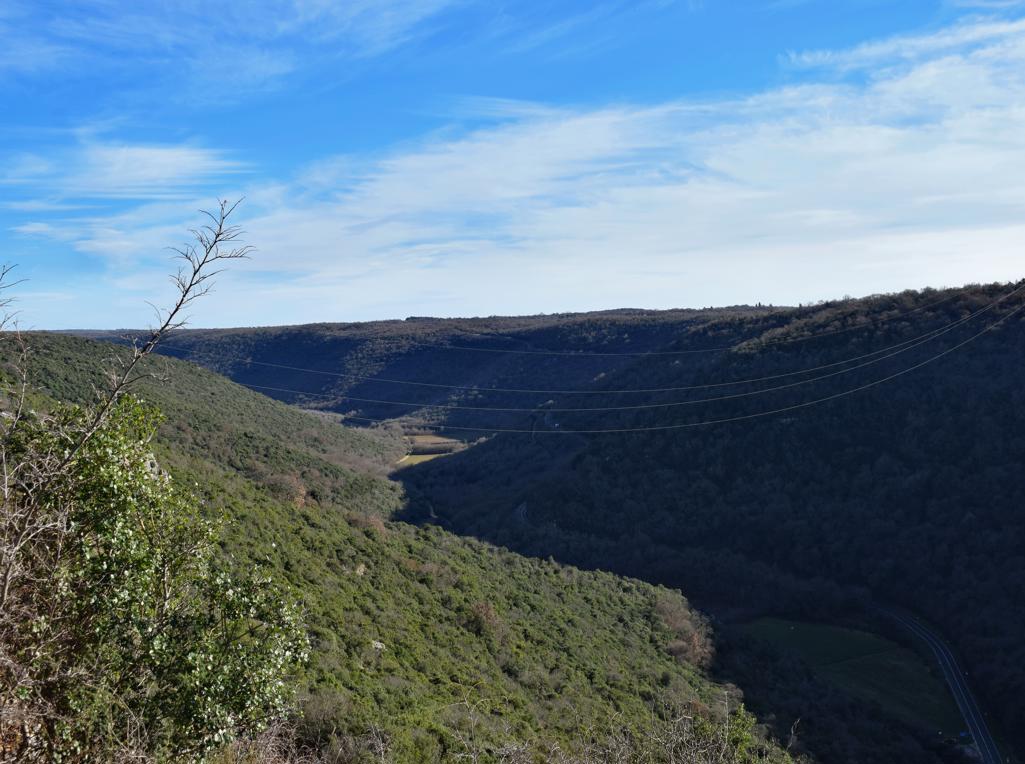
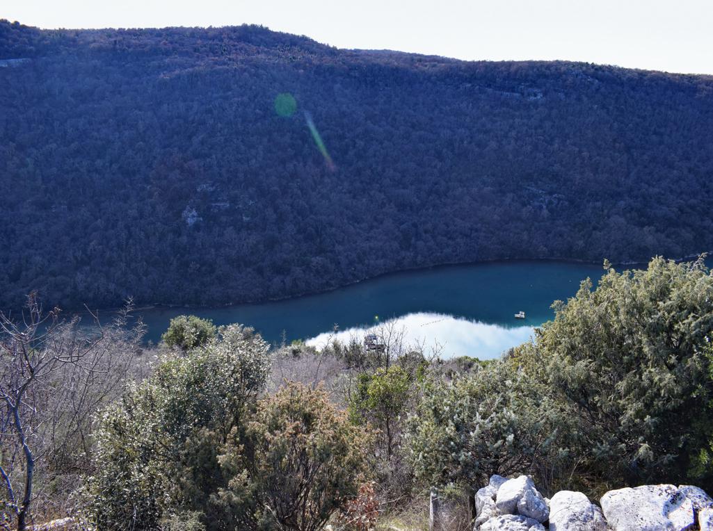
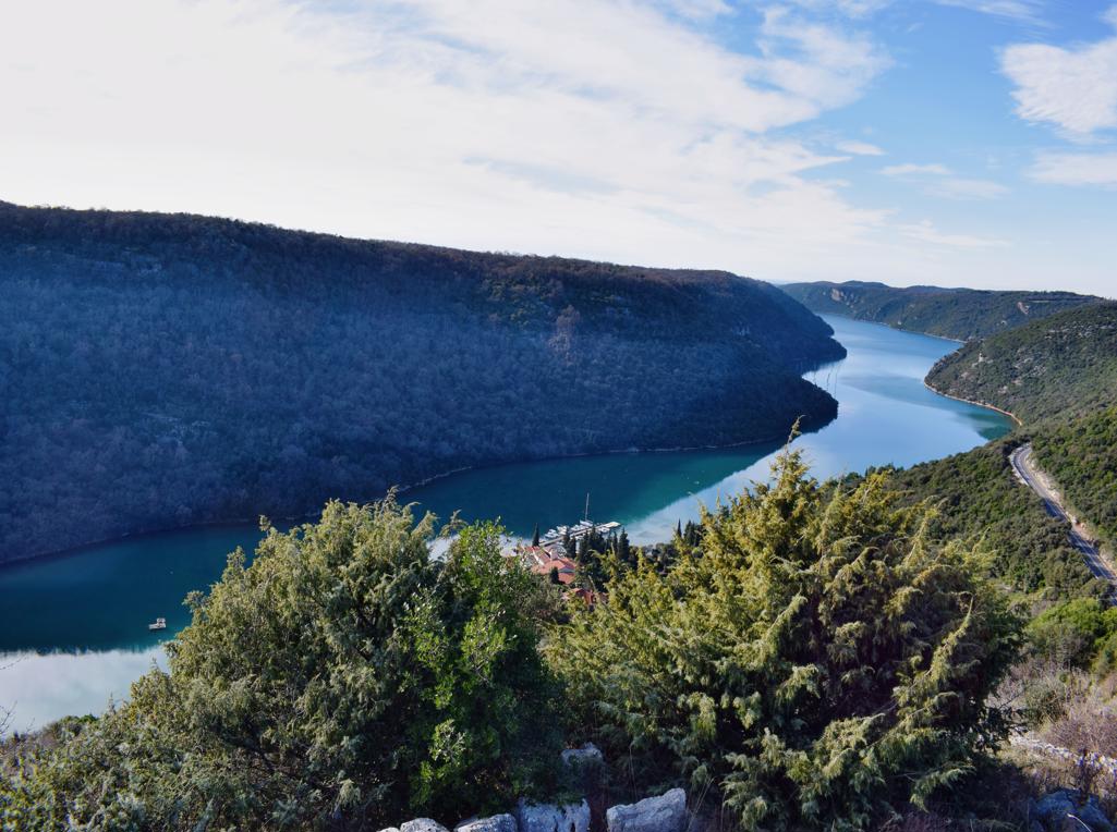
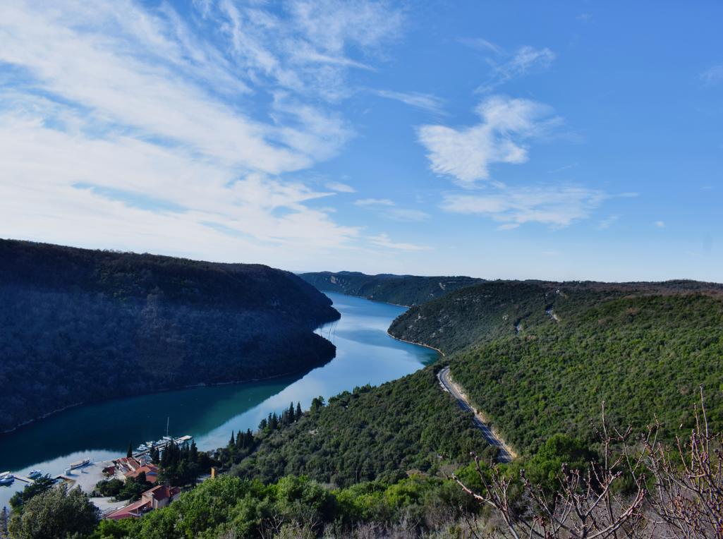
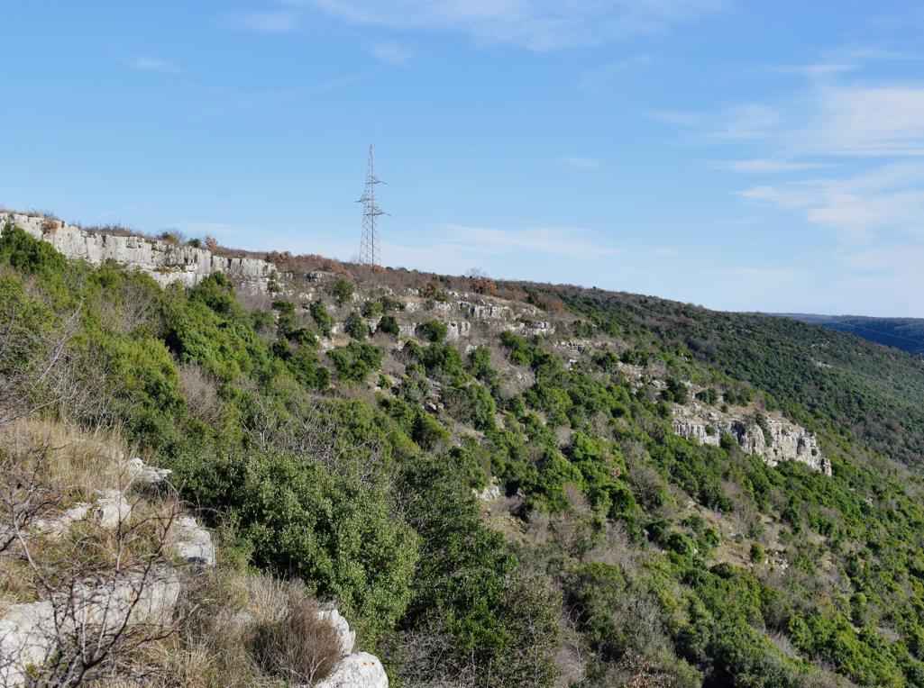
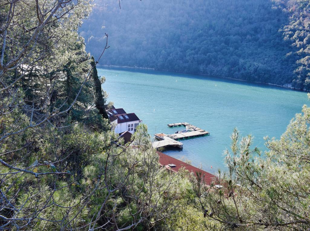
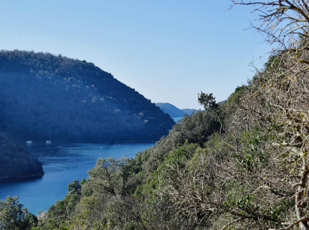
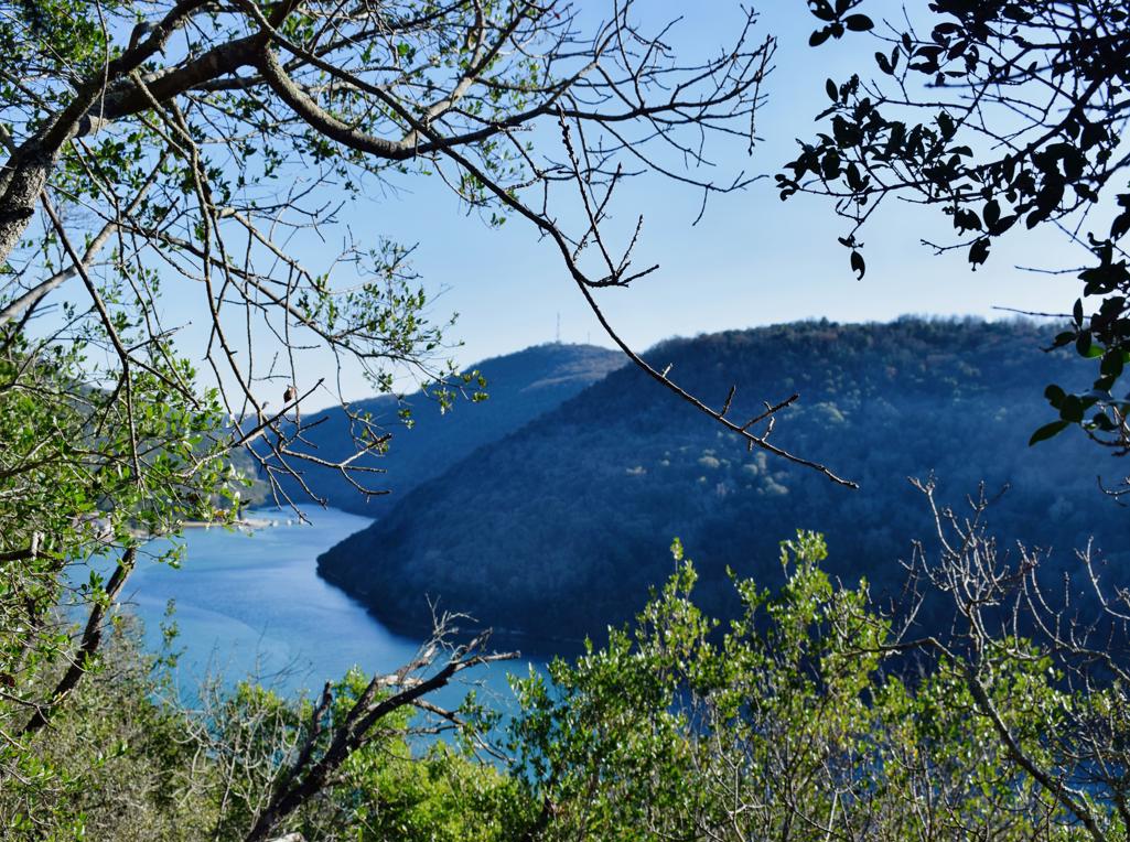
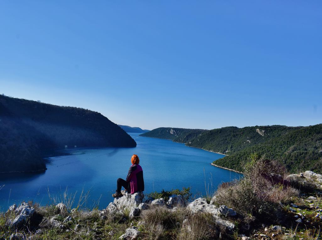
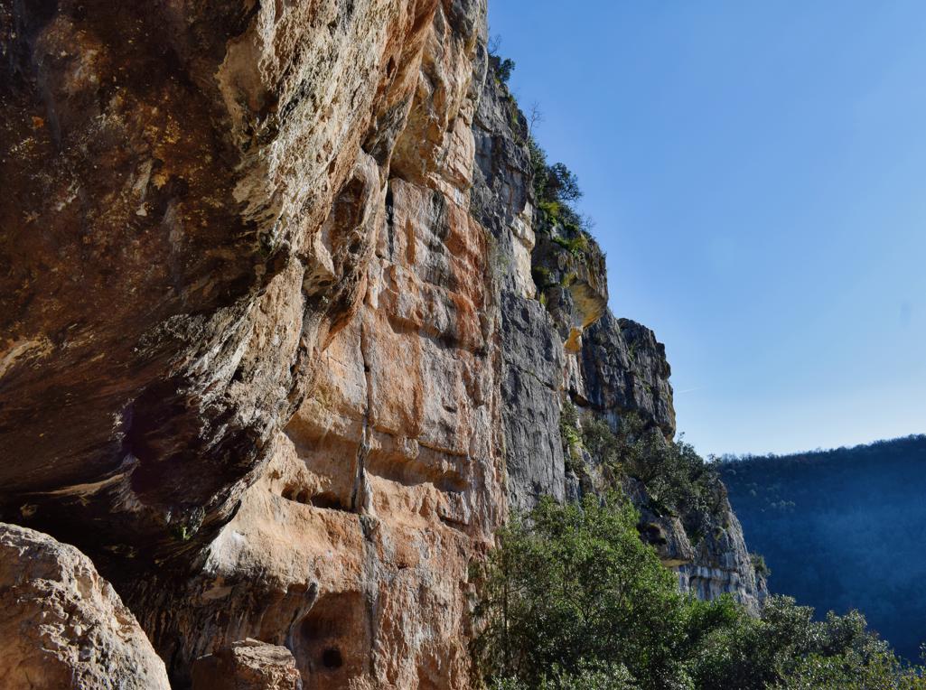
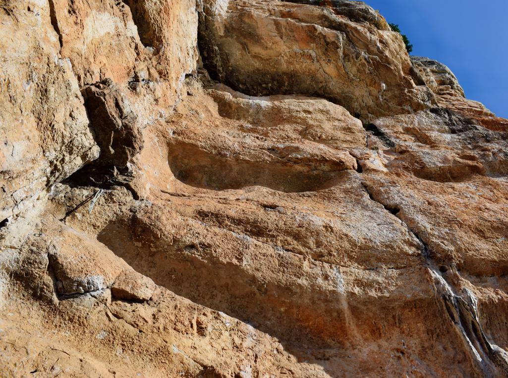
Name: Hiking trail from the Limski valley to the prehistoric settlement Gradine.
Place: near Jural – (Kanfanar).
Coordinaten: Start trail 45.12784 N – 13.74630 E, Gradine 45.13258 N – 13.73927 E.
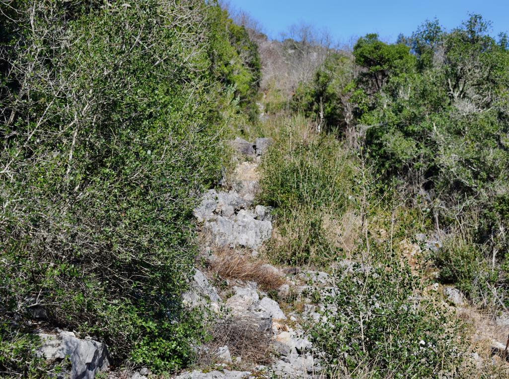
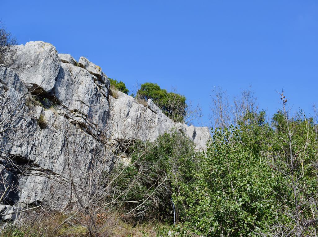
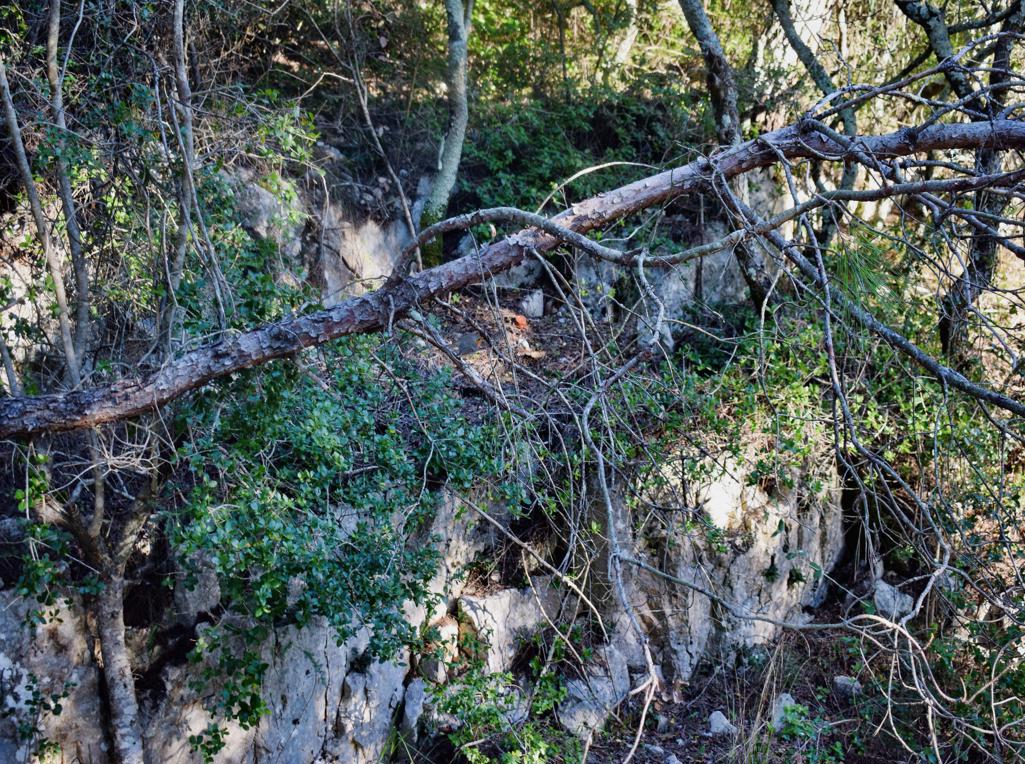
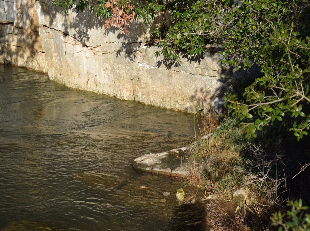
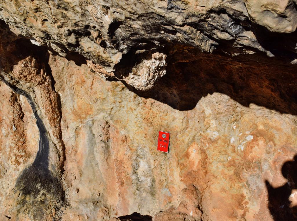
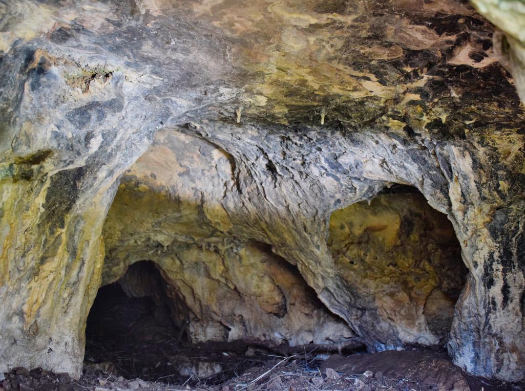
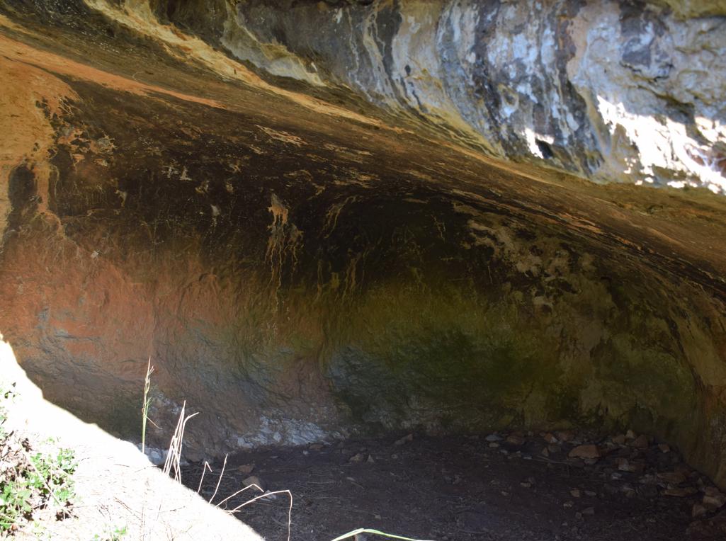
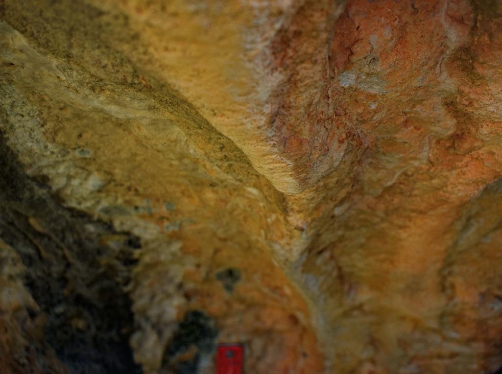
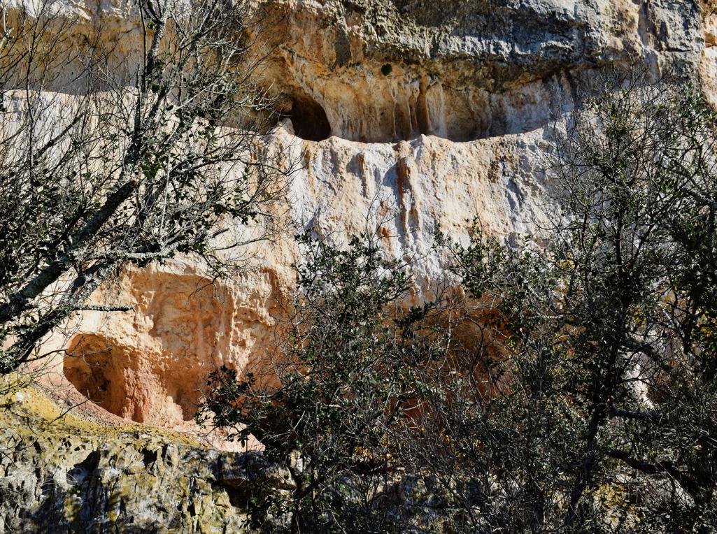
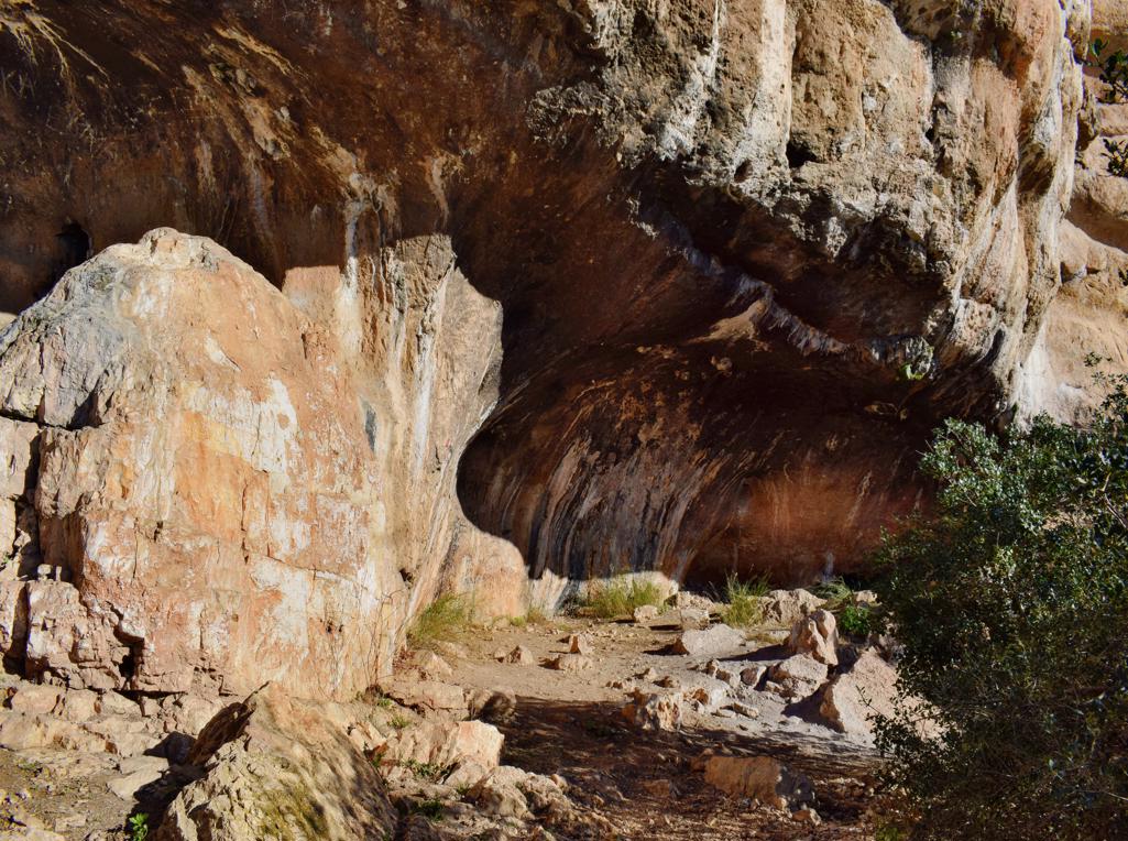
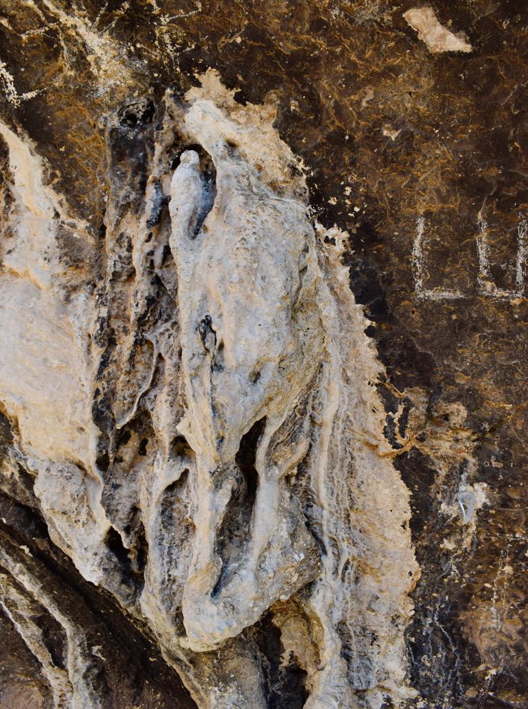
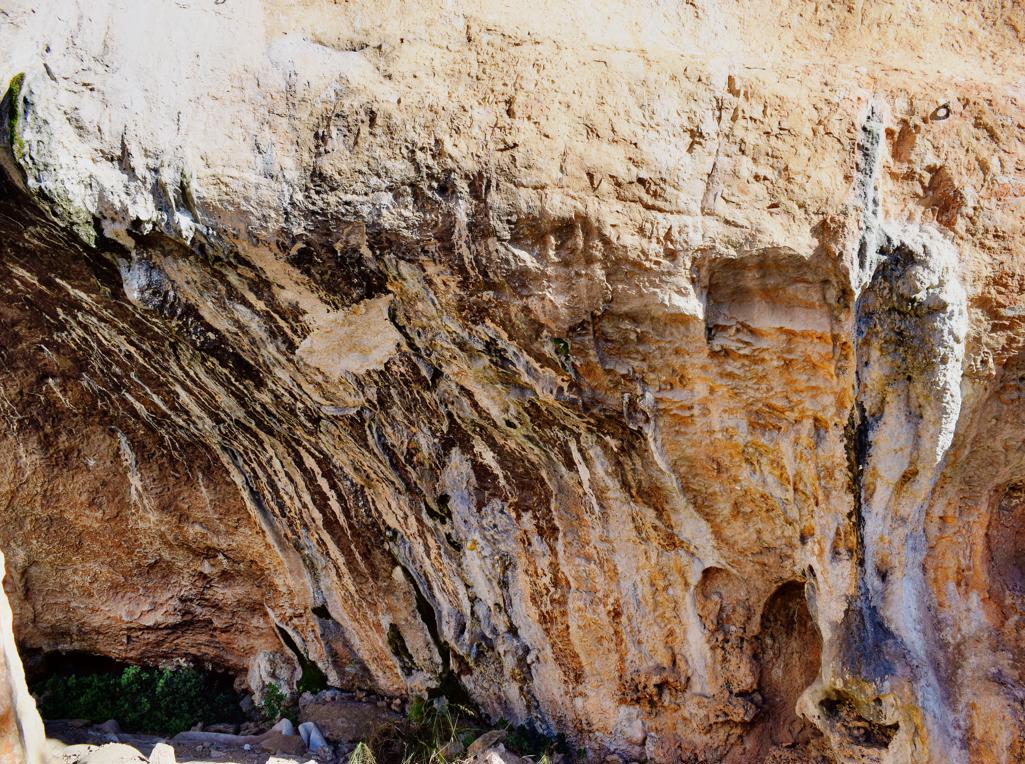
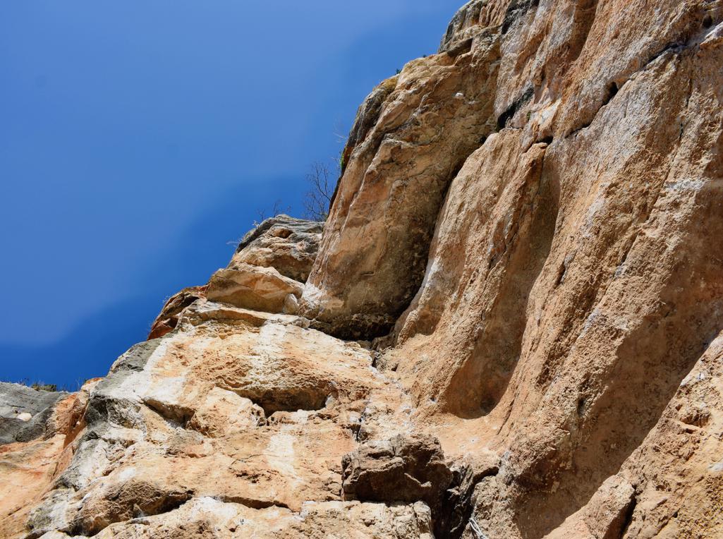
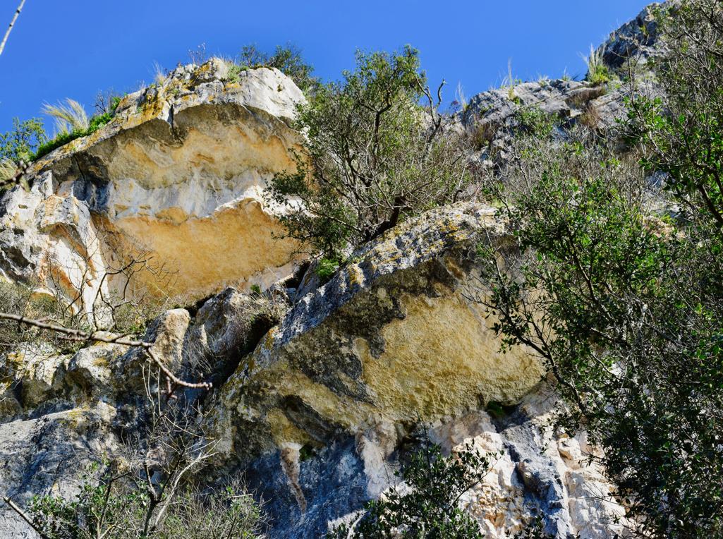
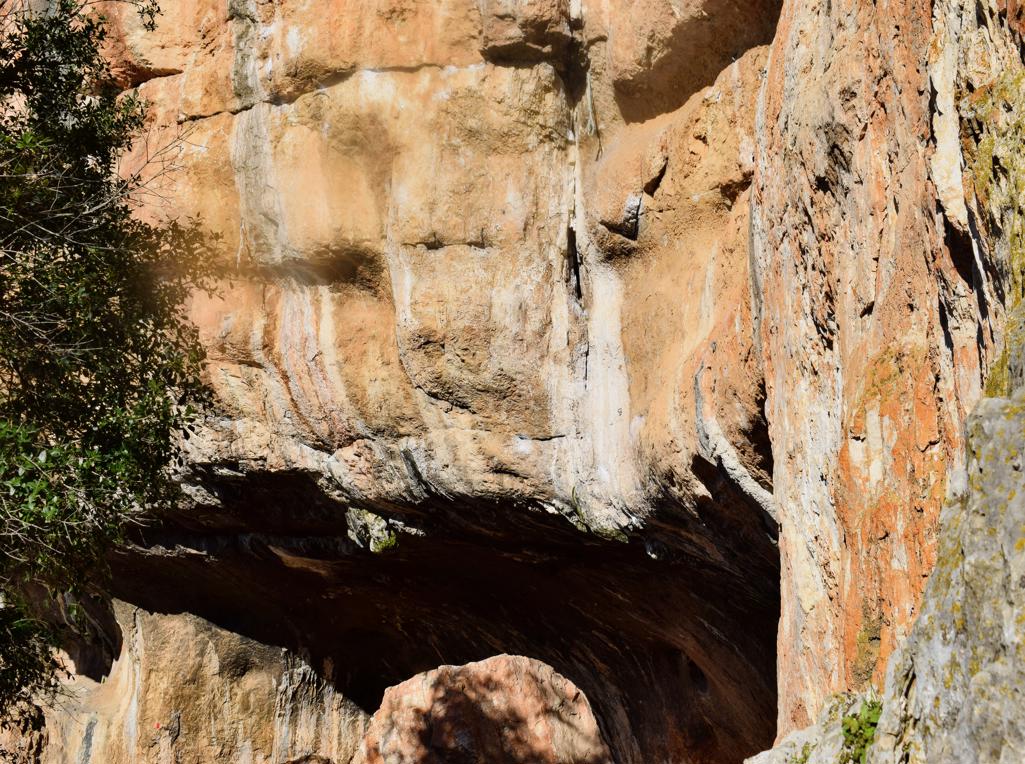
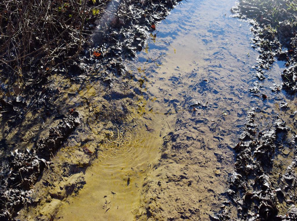
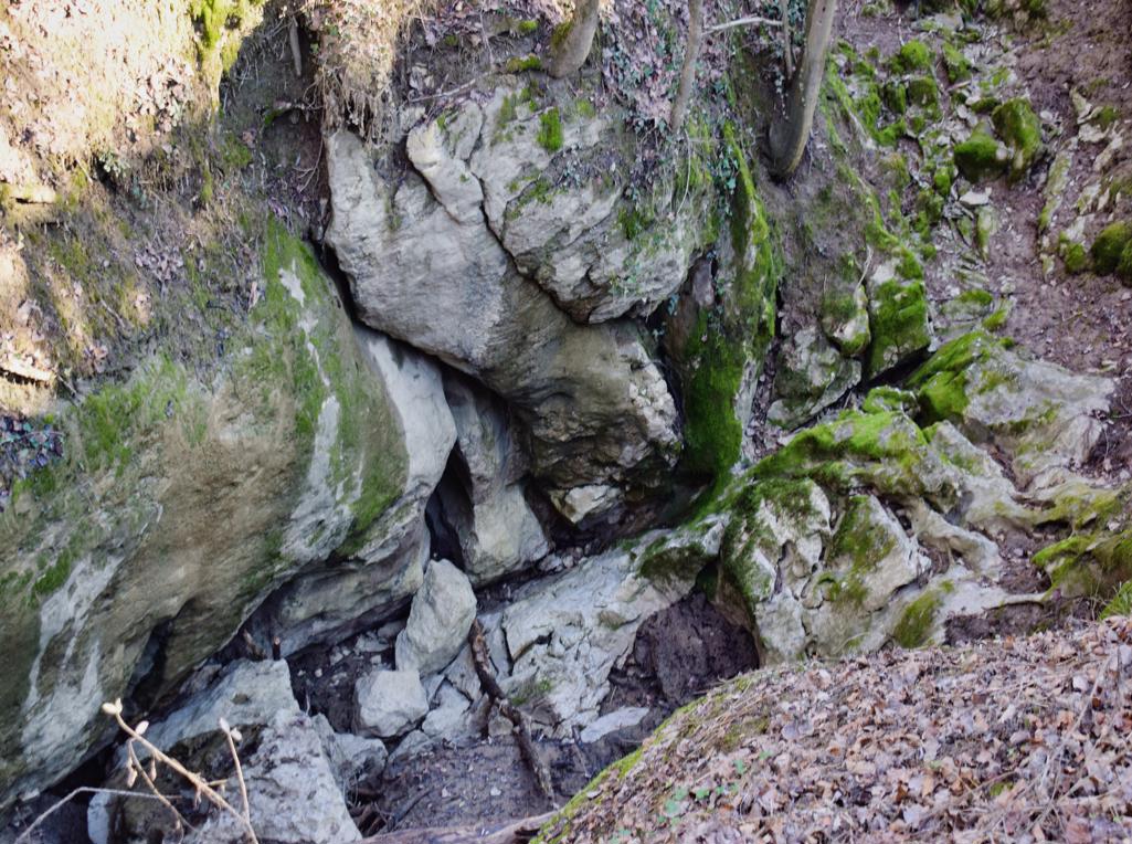
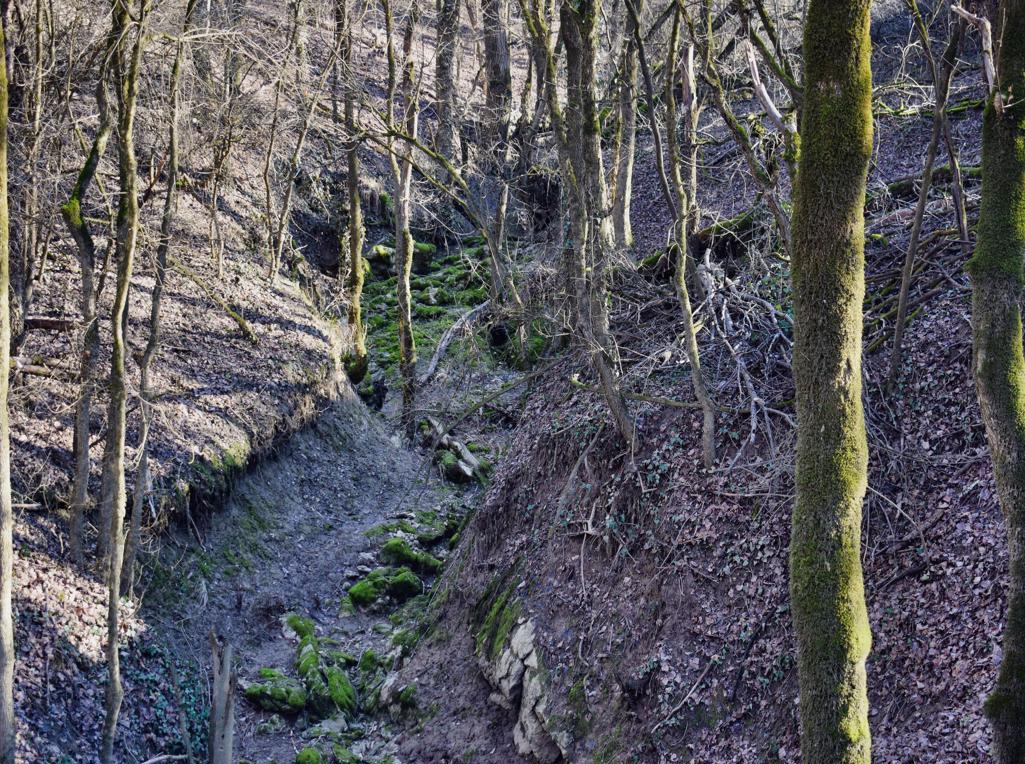
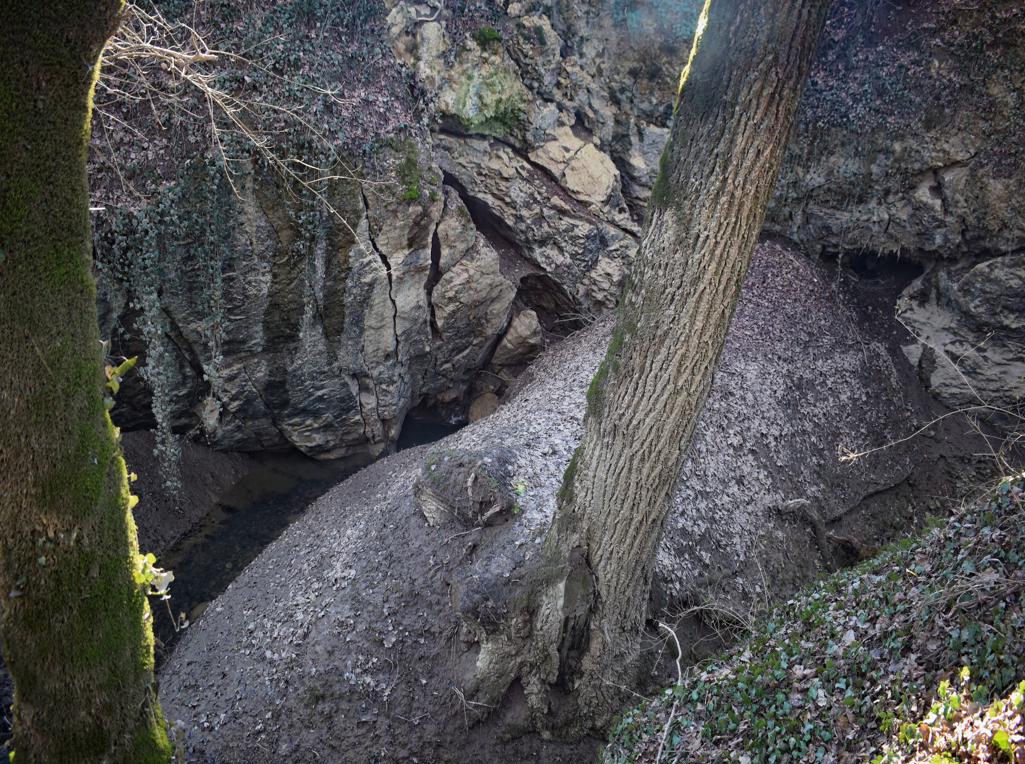
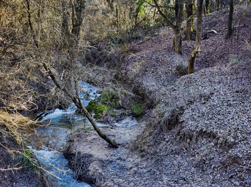
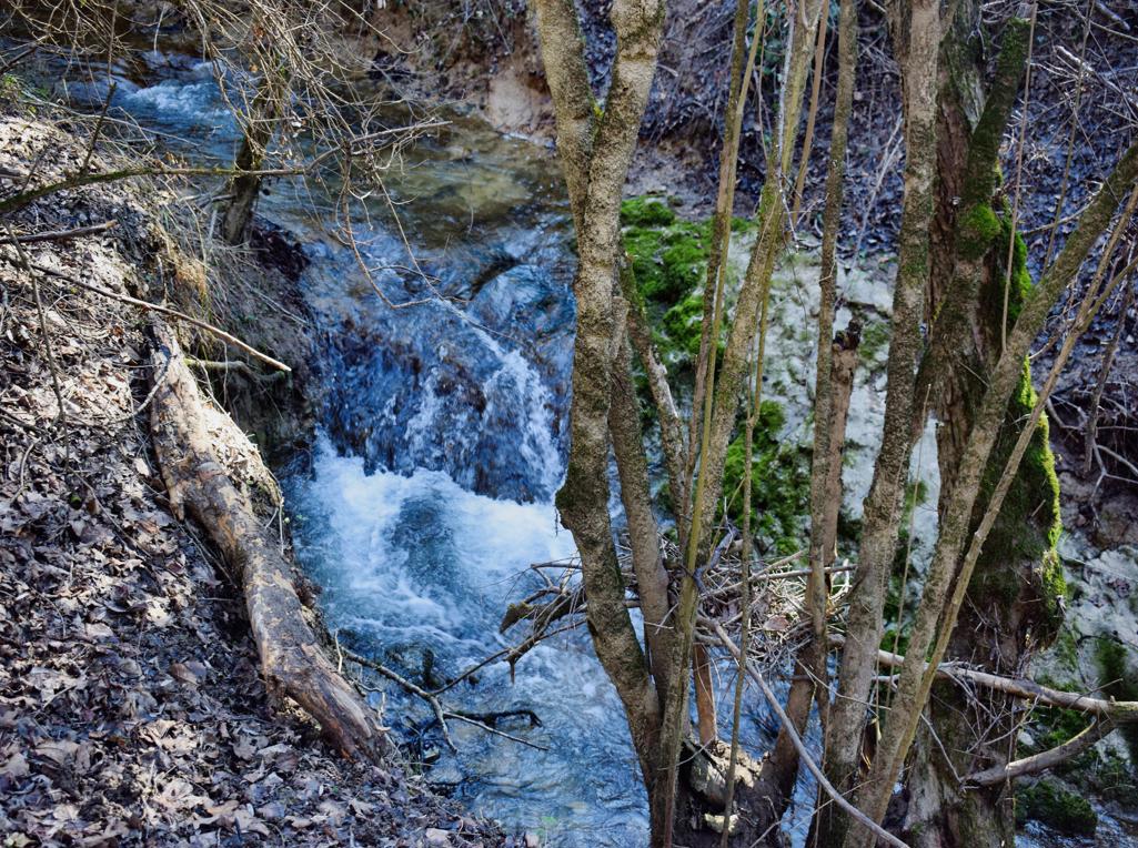
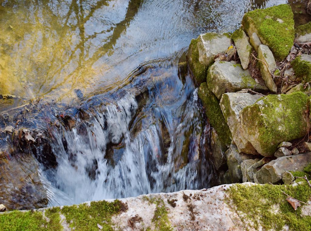
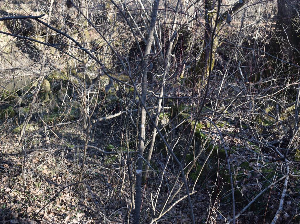
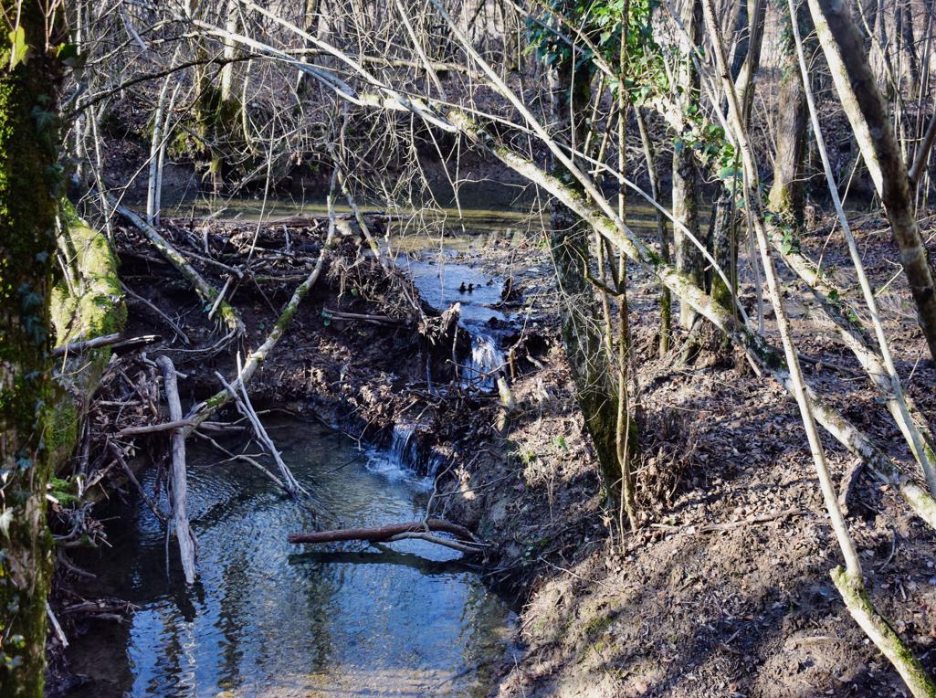
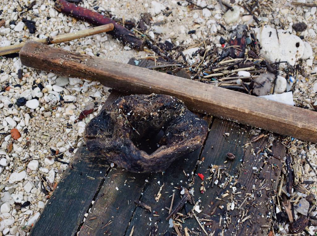
From the fish factory to rock formations Vrela and Kozarica withthe climbing rocks Hproskop and Krugi.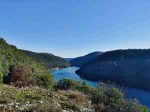
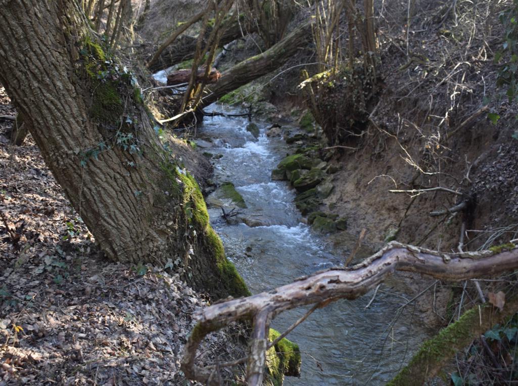
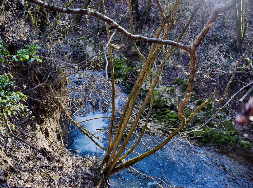
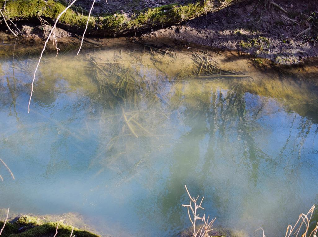
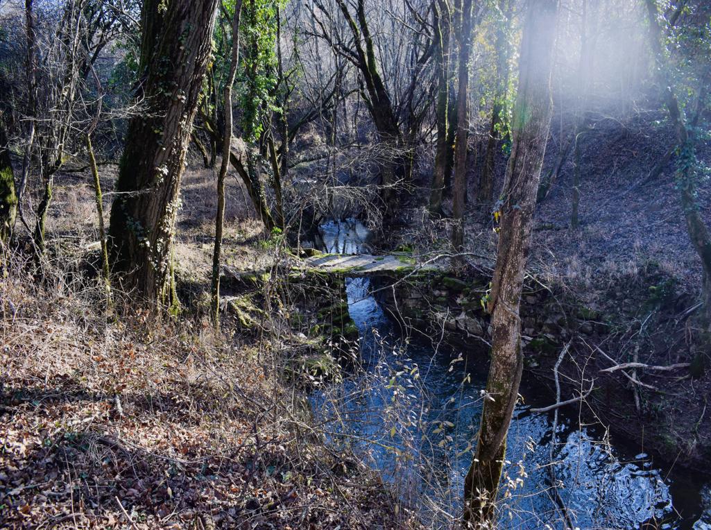
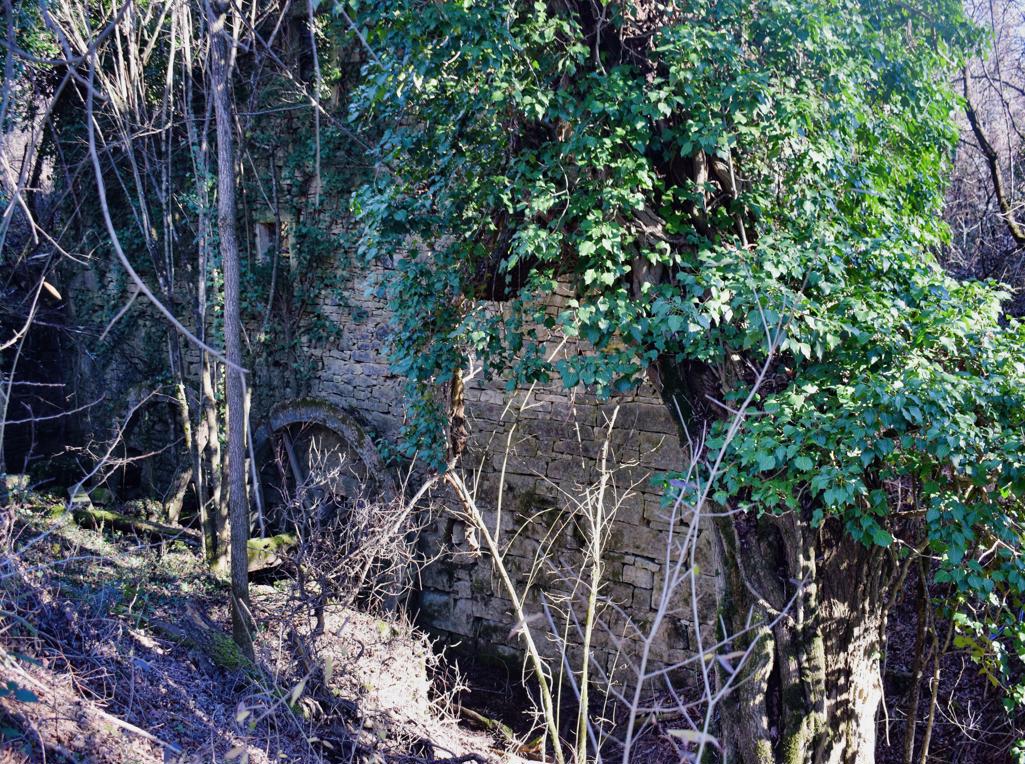
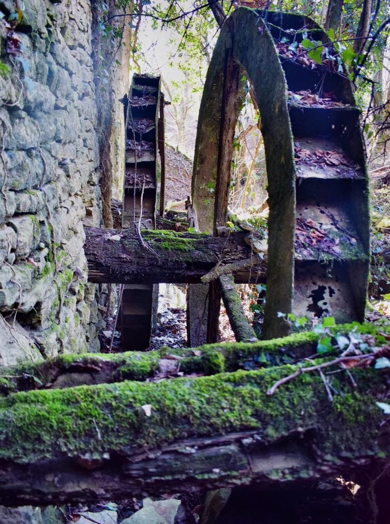
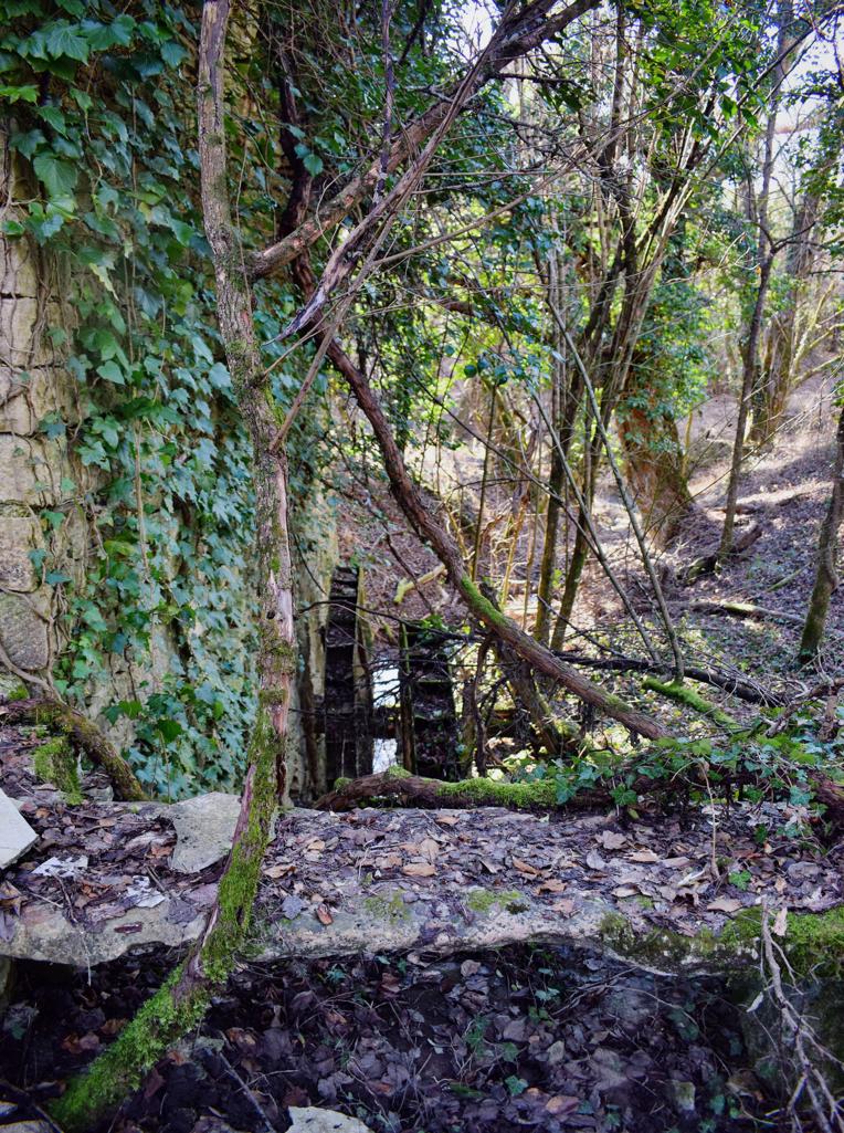
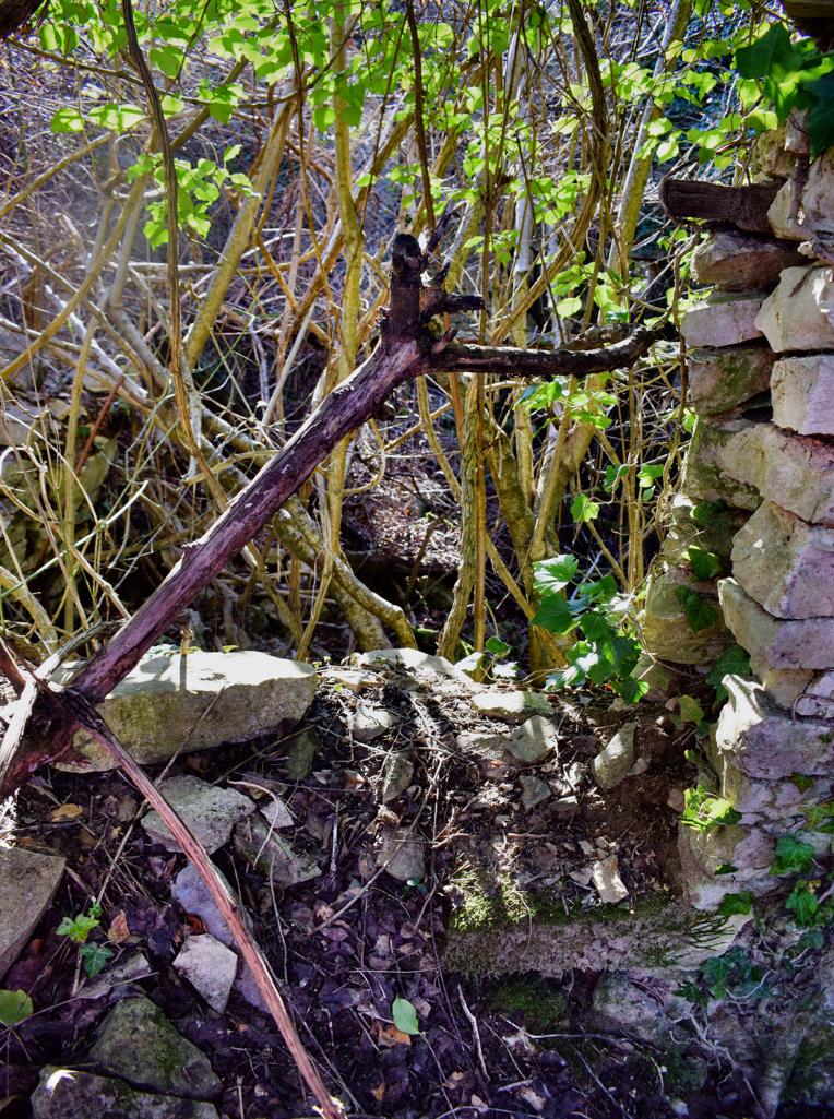
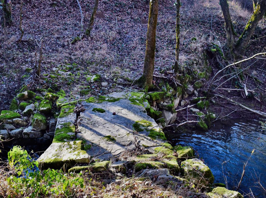
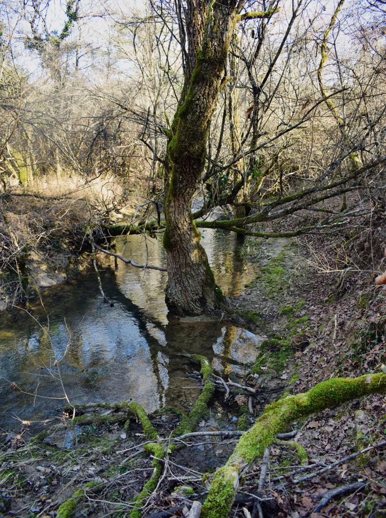
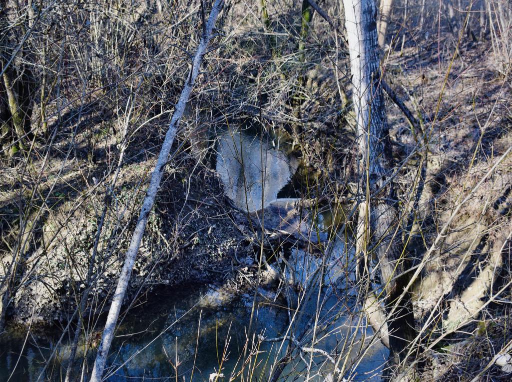
The trail is along the stream Buzuje with caves and a spring, and three former watermills.

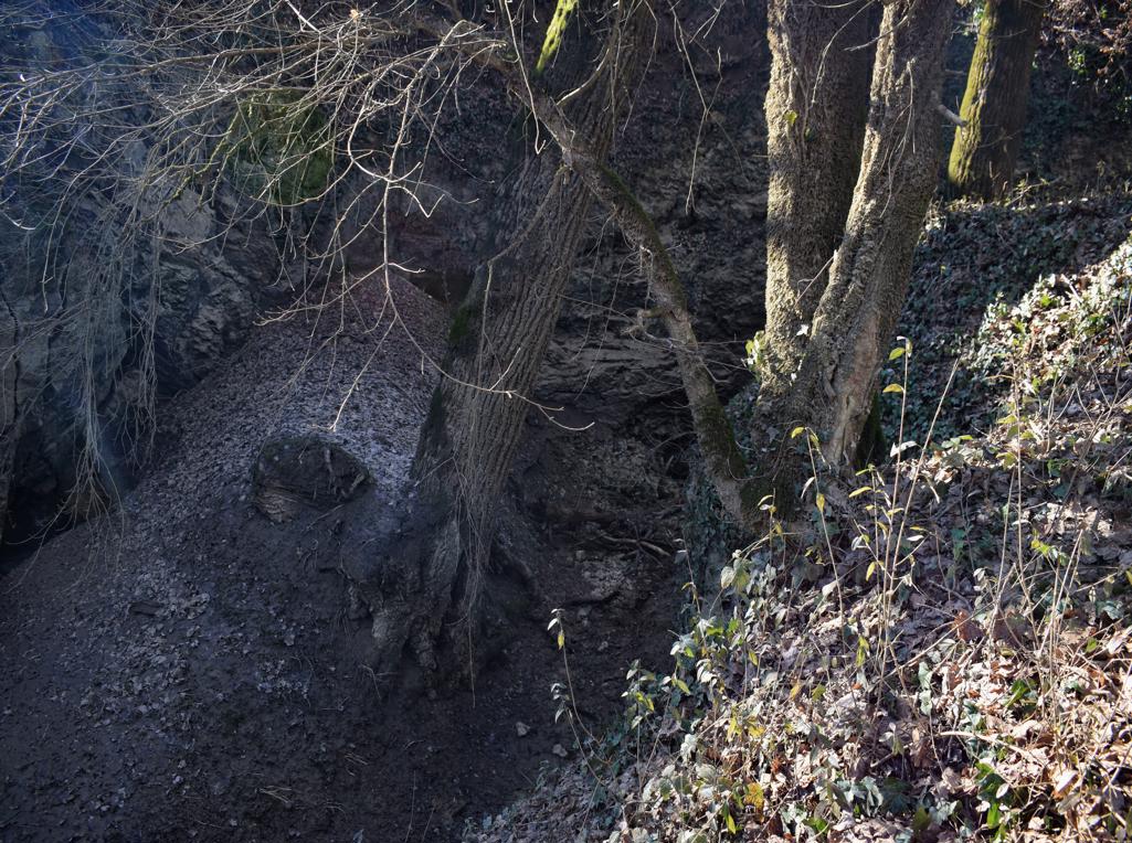
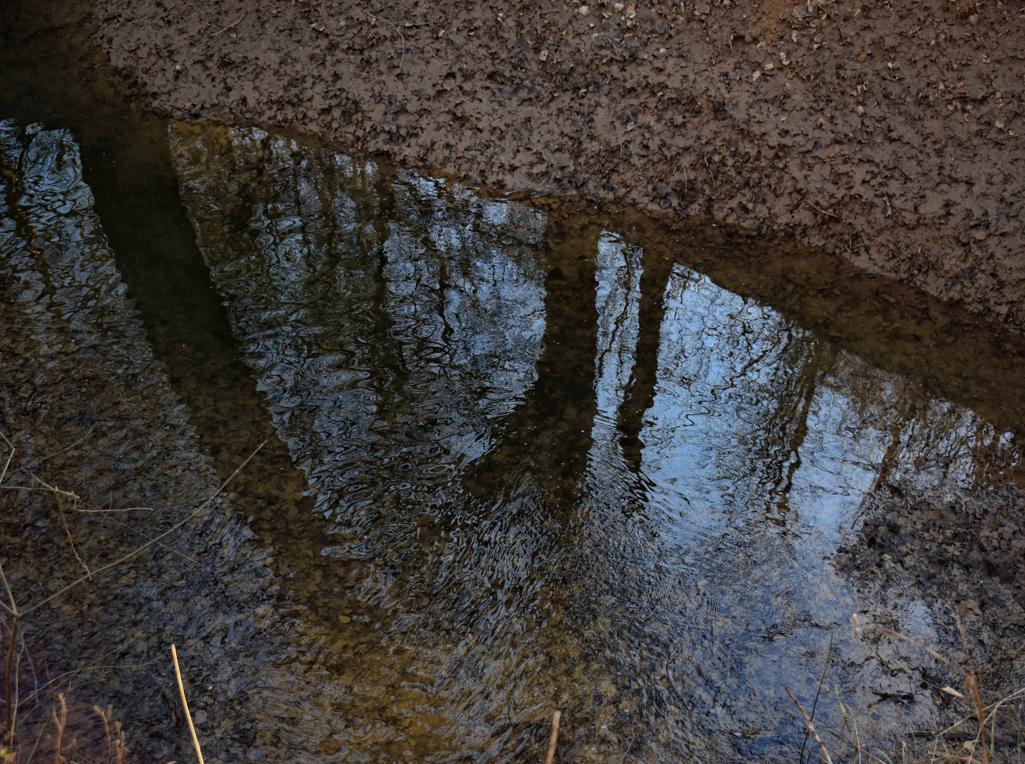
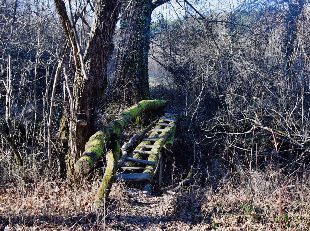
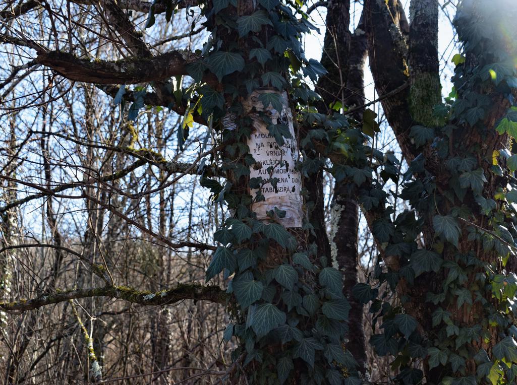
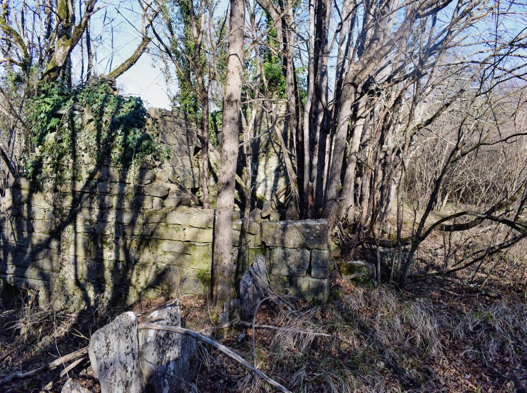
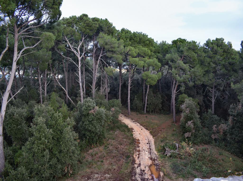
Name: Hiking trail from the village Bazuje to the abandoned village Vrnjak.
Place: Bazuje – Vrnjak – (Grožnjan).
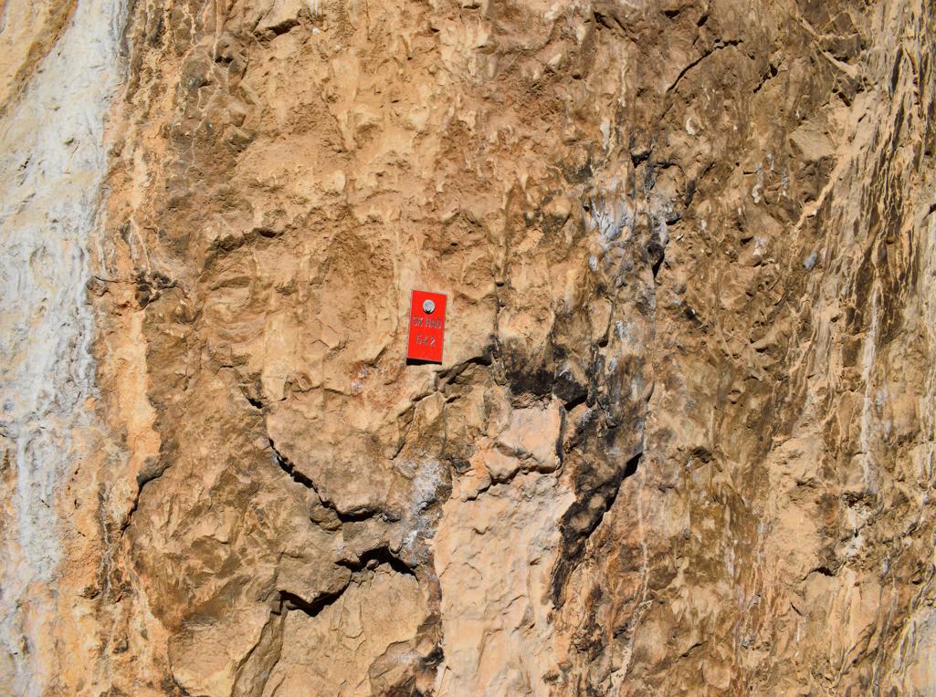
Start: Bazuje 45.41723 N – 13.73696 E, caves 45.41723 N – 13.774101 E, 45.41706 N -13.74309 E, 45.41783 N – 13.74462 E,watermills. 45. 41793 N -13.74435 E, 45.41932 N – 13. 74551 E, 45.42699 – 13 74912 E, Vrnjak: 45.43981 N – 13. 76807 E.
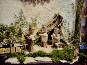
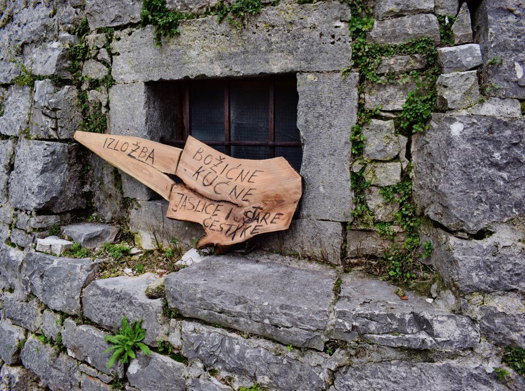
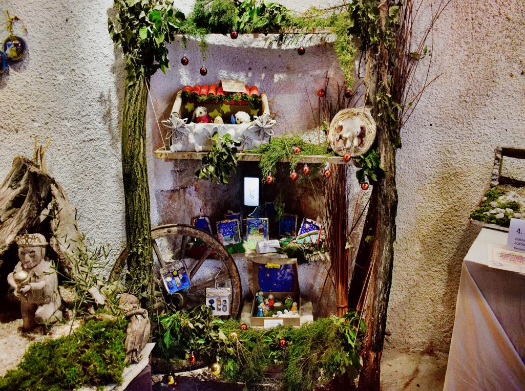
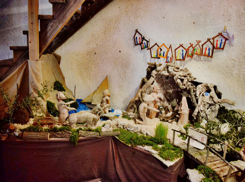
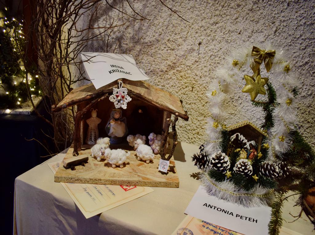
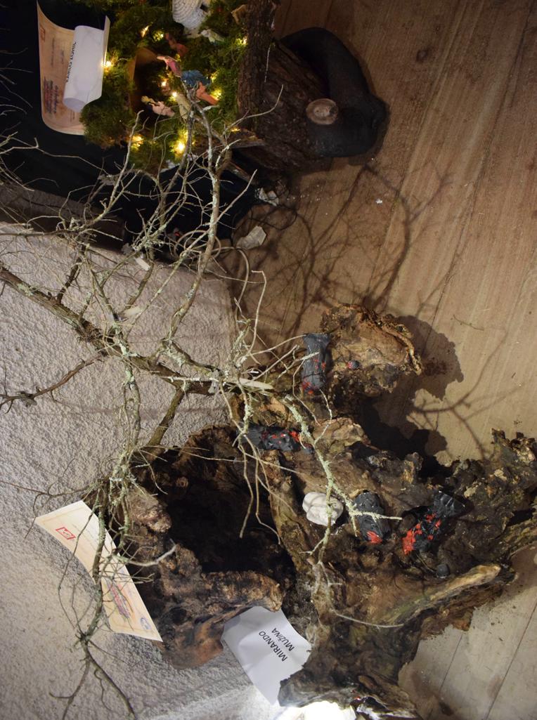
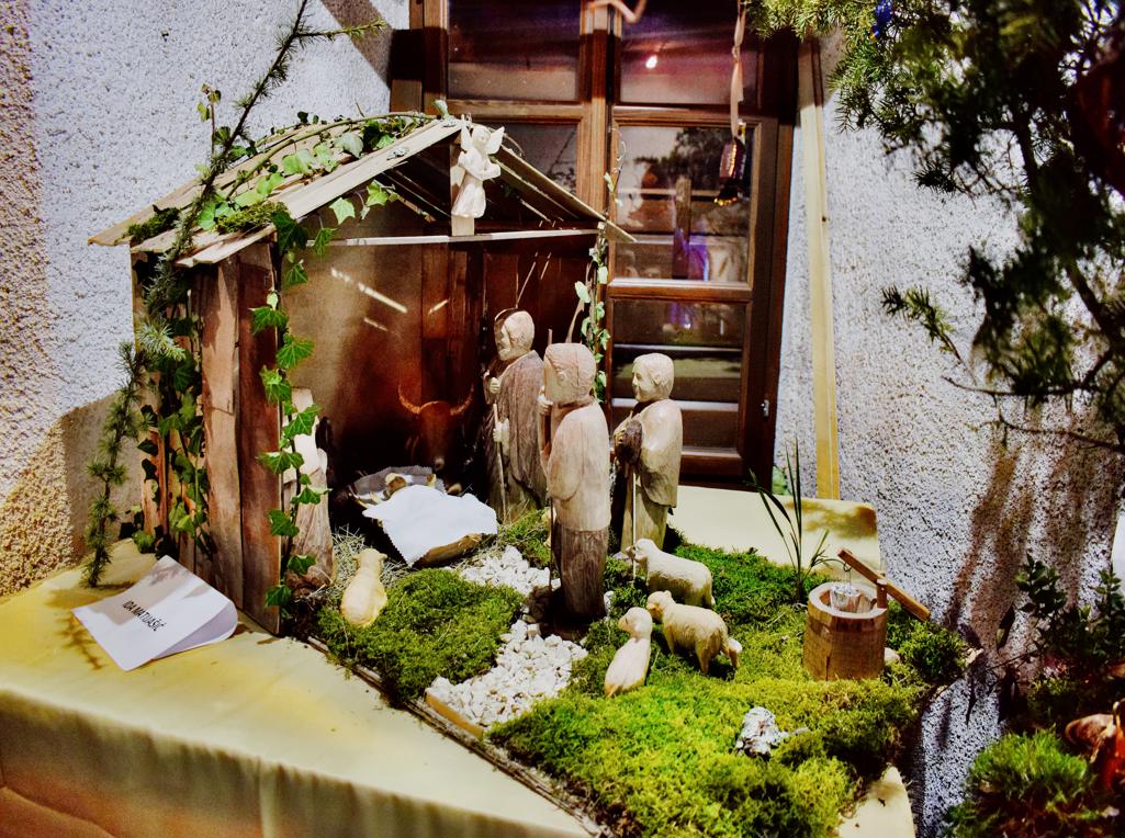
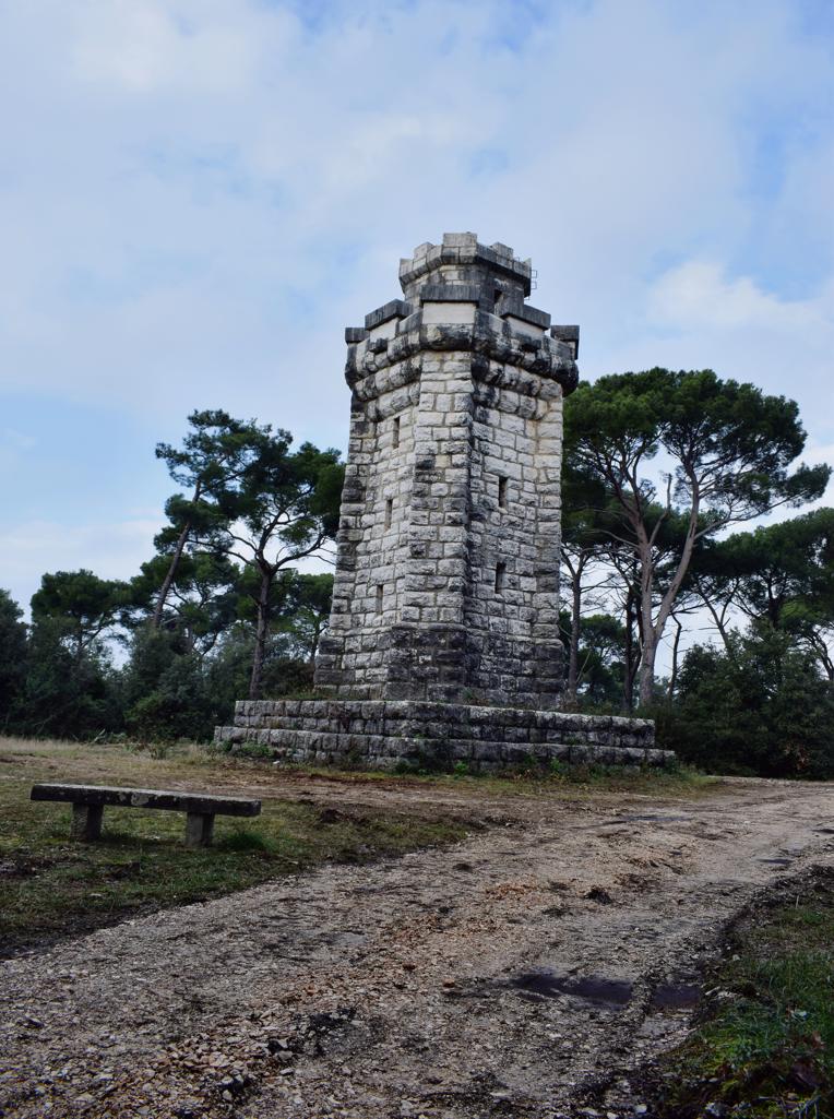
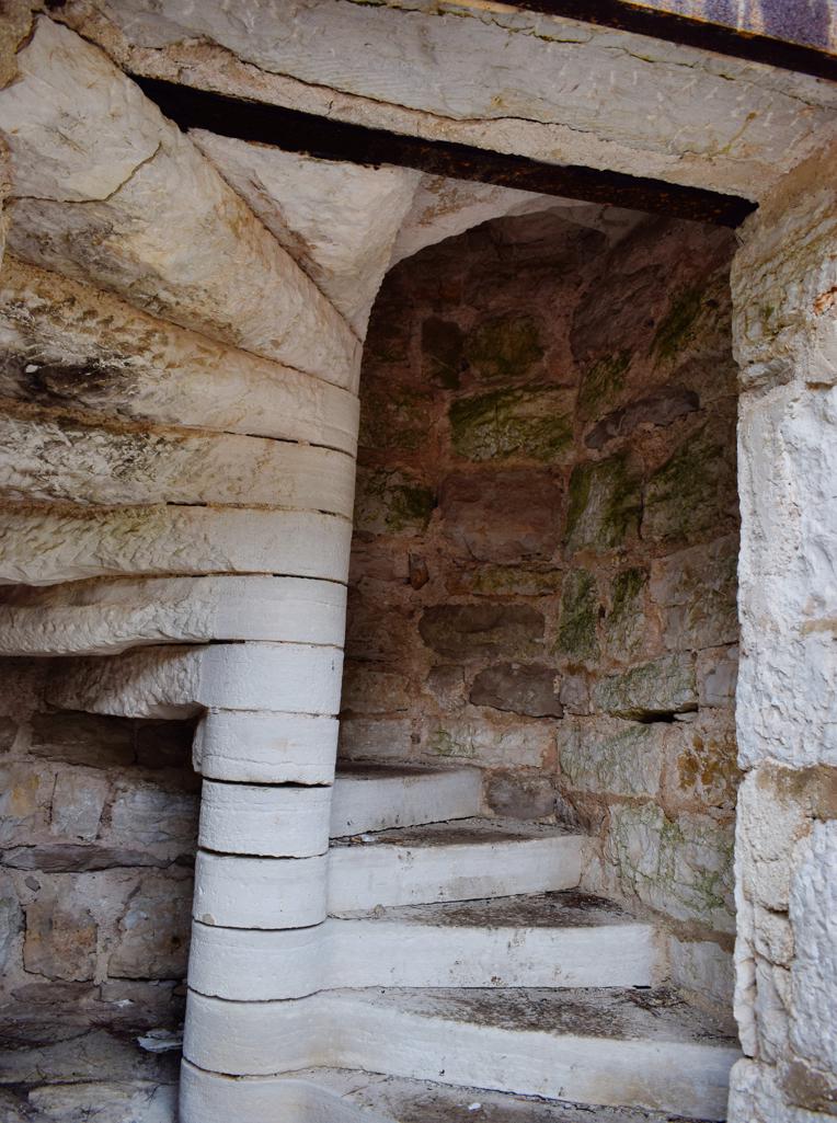
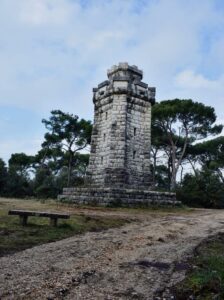
Name: Navity scenes exhibition in the defense tower Žminj.
Place: Žminj.
Coordinates: 45.14284 N – 13.90805 E.
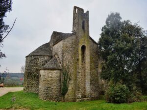
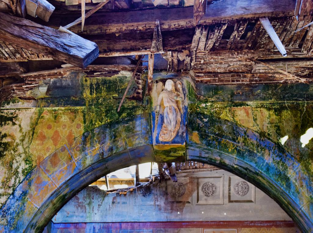
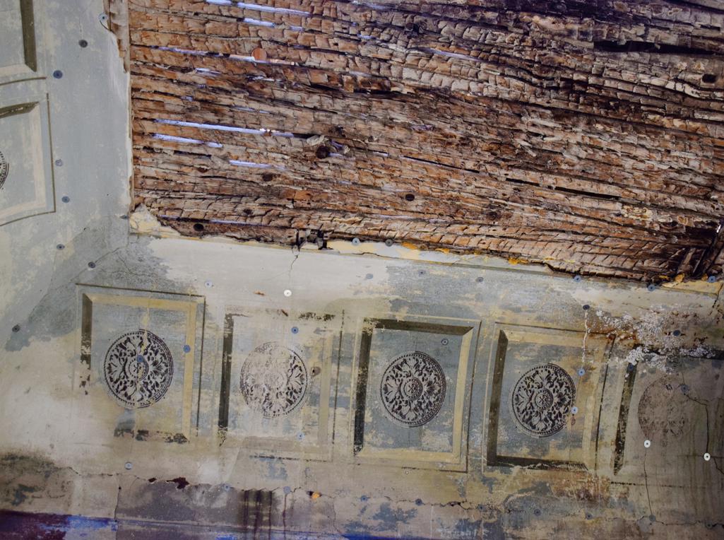
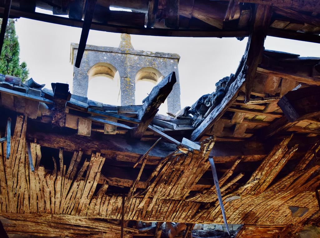
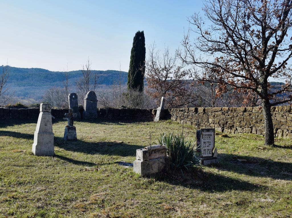
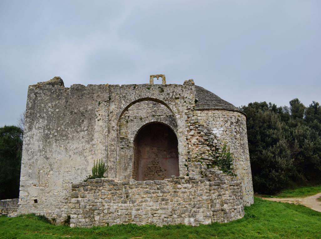
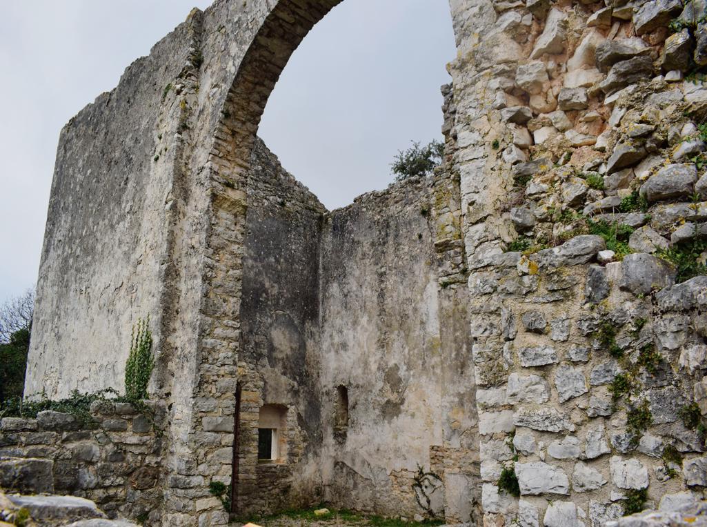
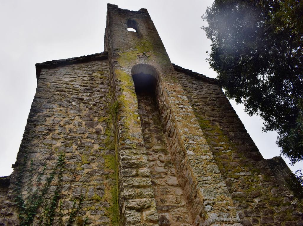
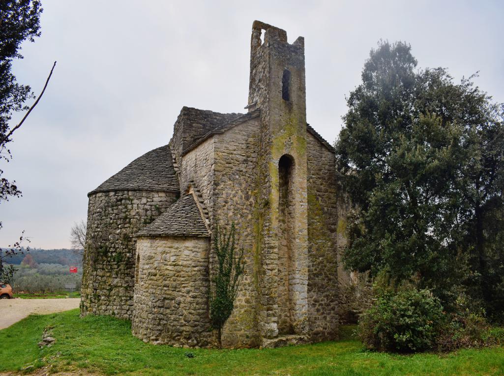
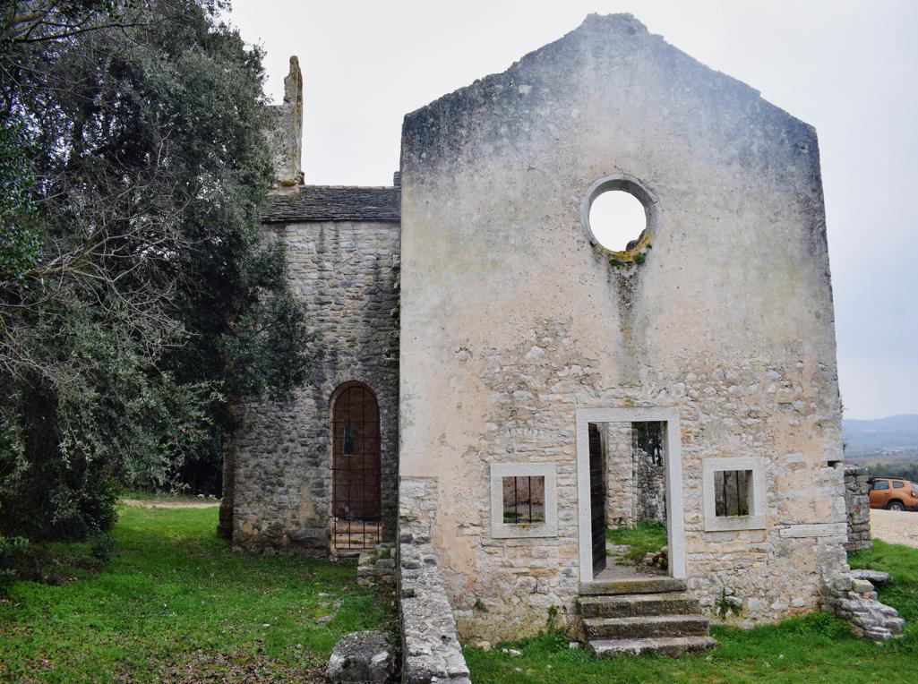
Name: Romanesque church St. Thomas the apostle.
Place: Borik- (Rovinj).
Coordinates: 45.10858 N – 13.65765 E.
Name: Trail along the bays Lešo, Valdebora and the cape Muća – Observation post Dr. Karl Lueger from 1908.
Place: Rovinj.
Coordinates: Observation tower 45,09585 N – 13.63154 E.