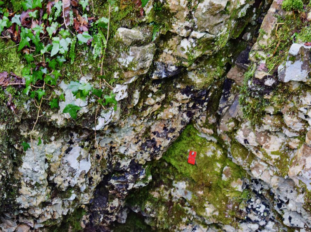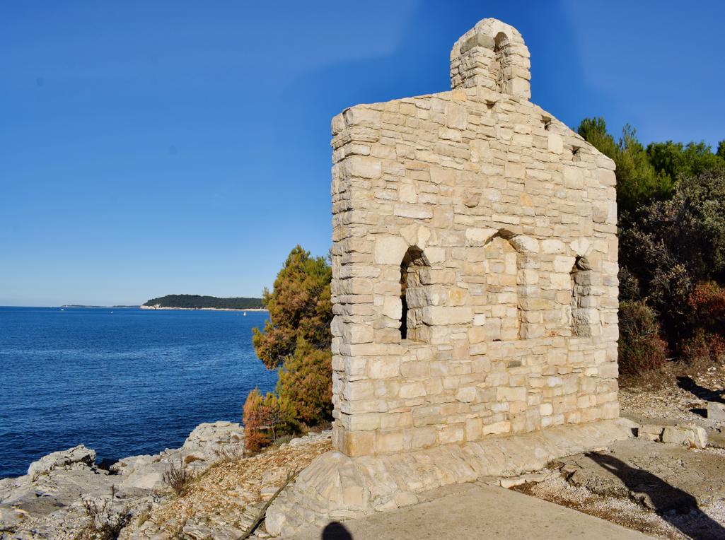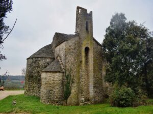
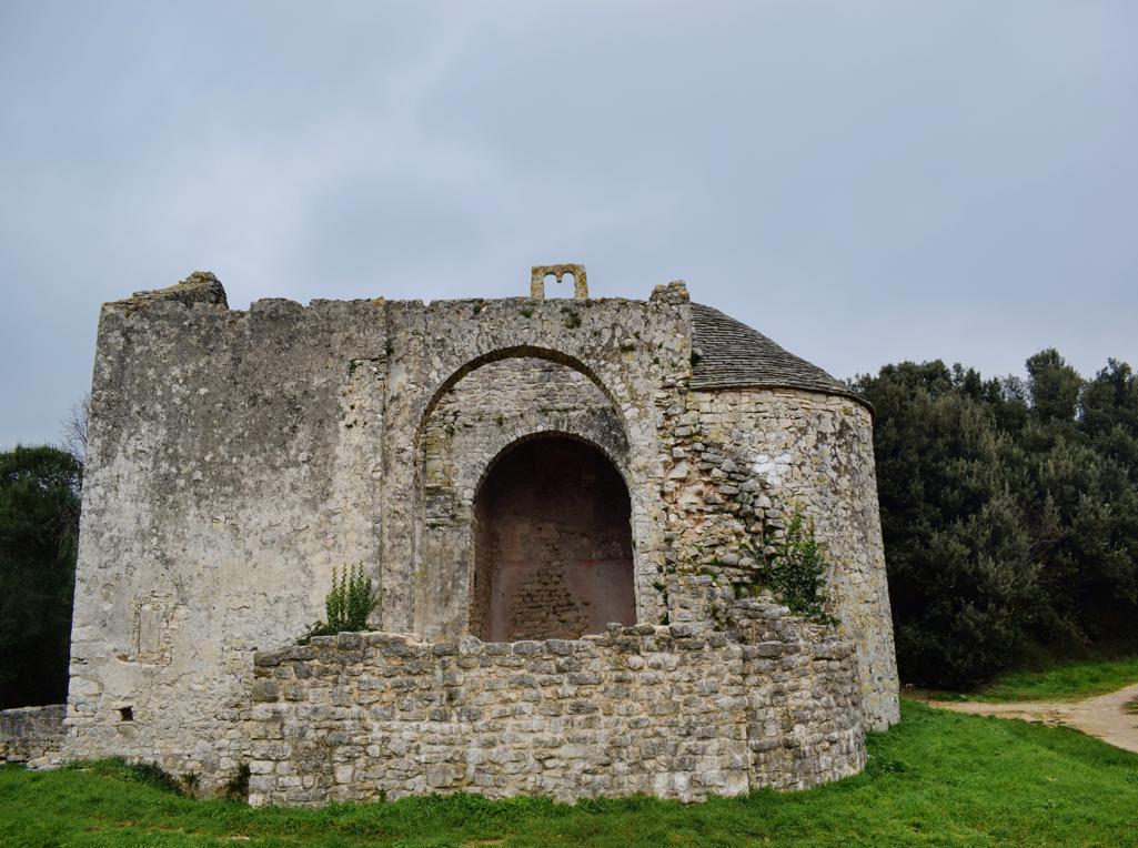
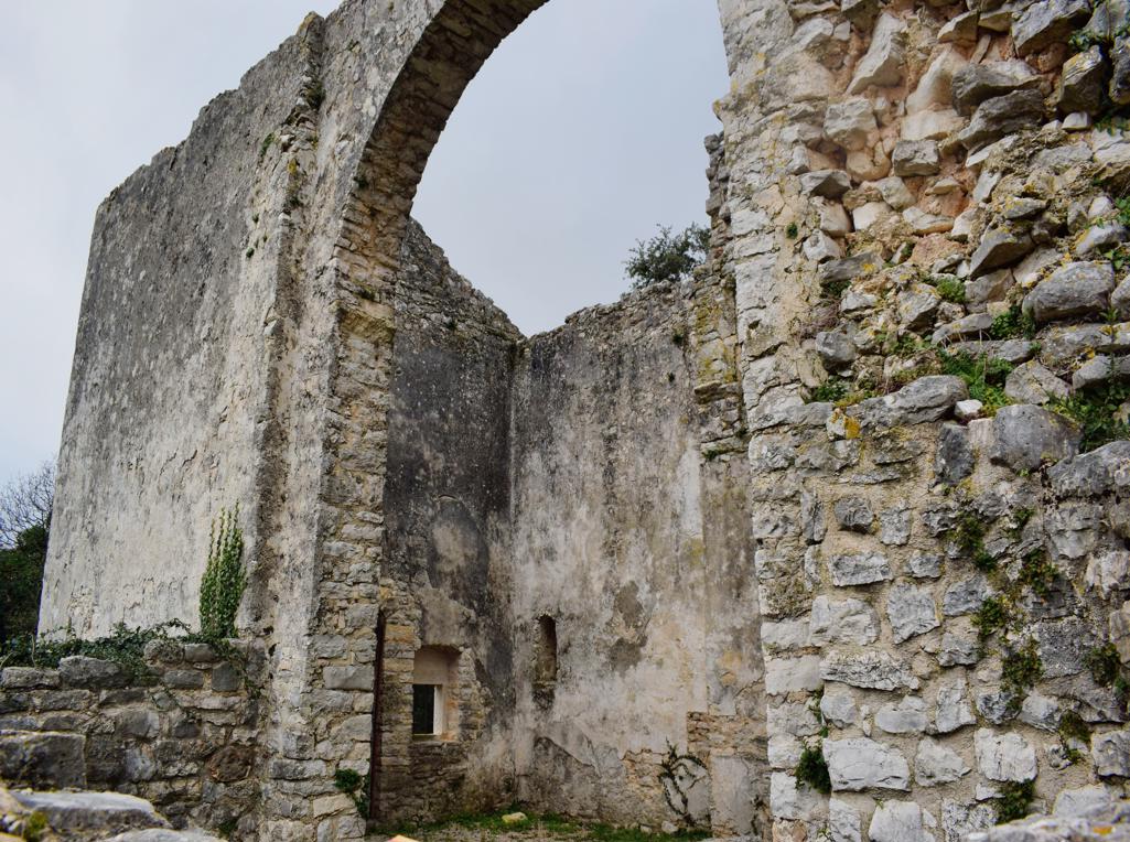
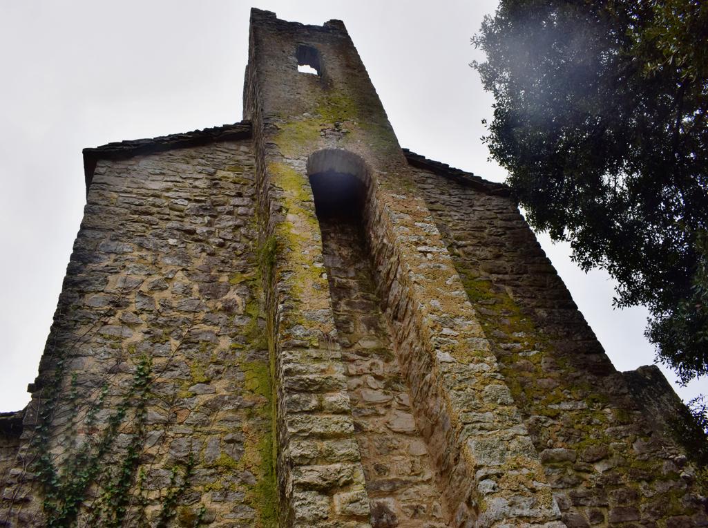
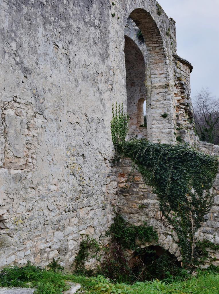
Name: Romanesque church St. Thomas the apostle.
Place: Borik- (Rovinj).
Coordinates: 45.10858 N – 13.65765 E.
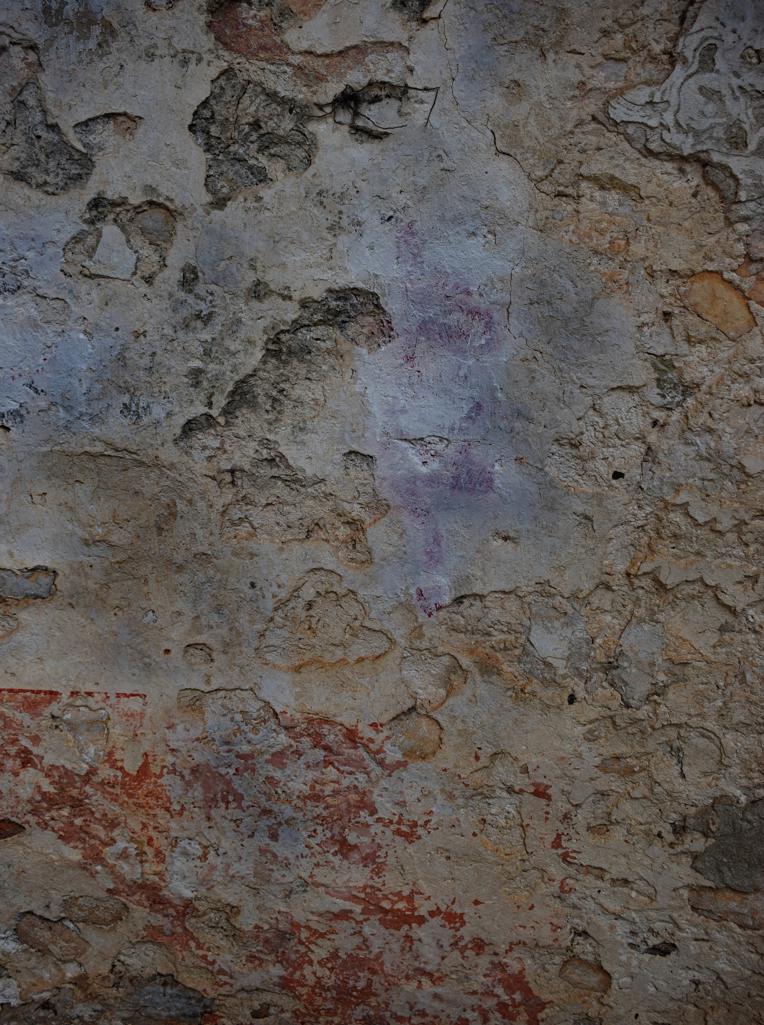
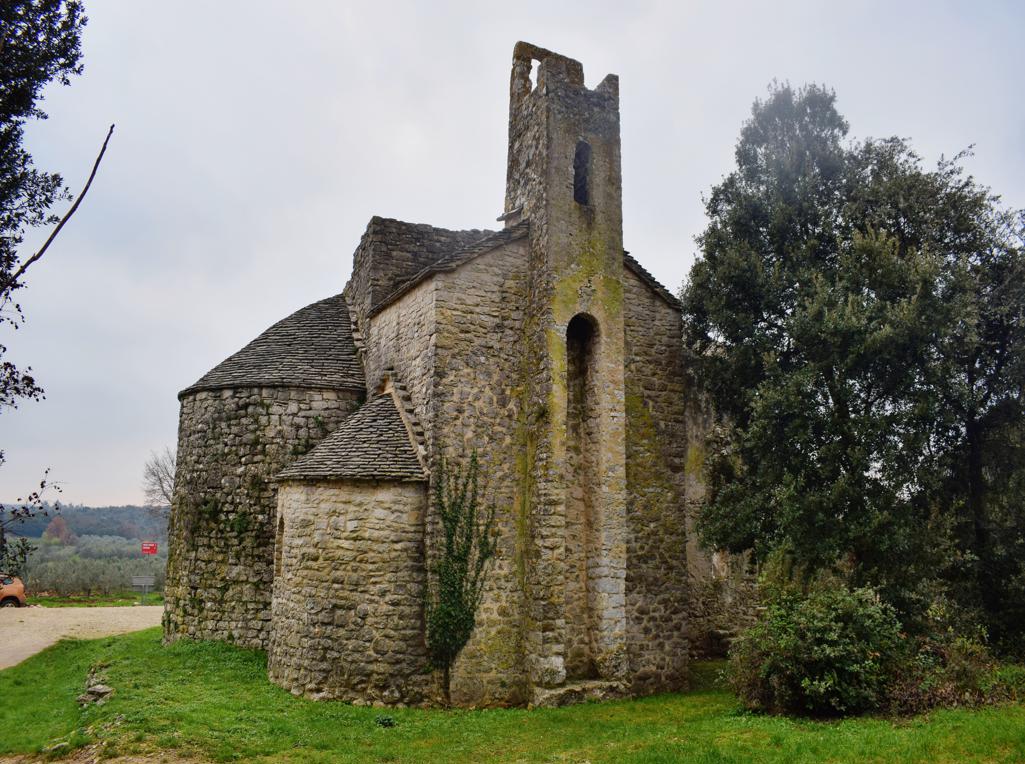
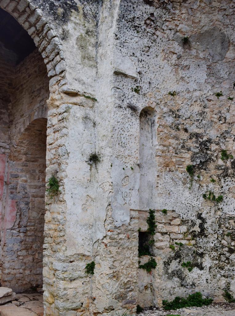
Name: Romanesque church St. Thomas the apostle.
Place: Borik- (Rovinj).
Coordinates: 45.10858 N – 13.65765 E.
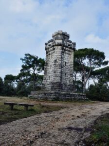
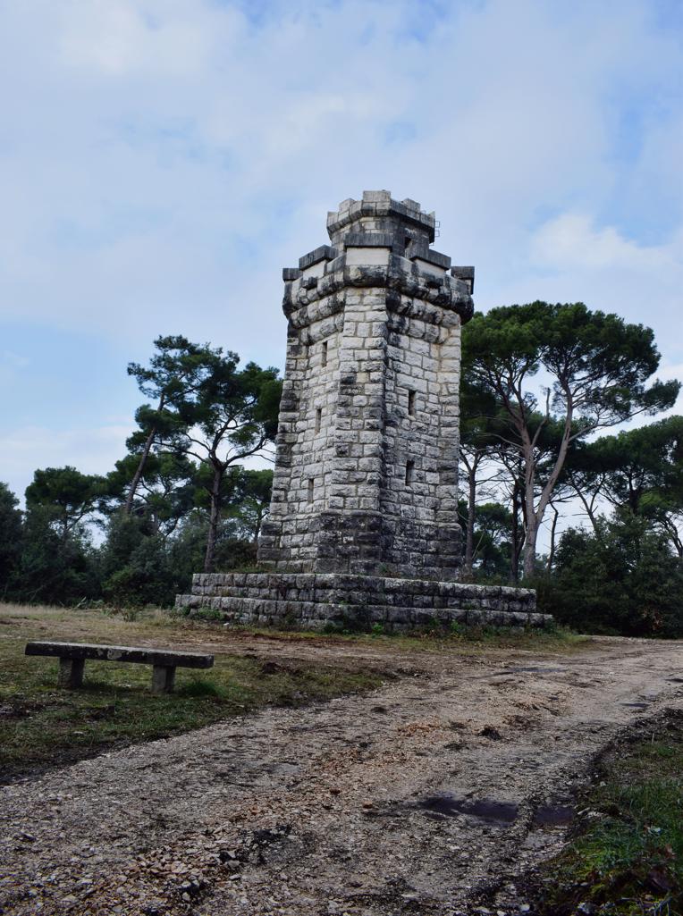
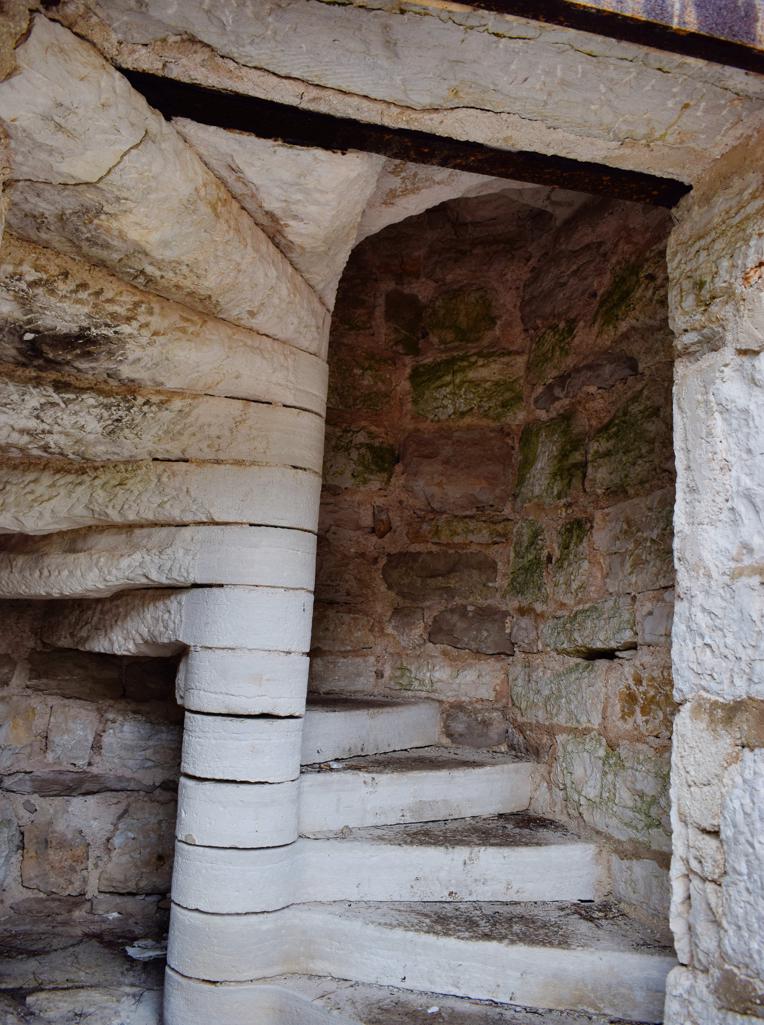
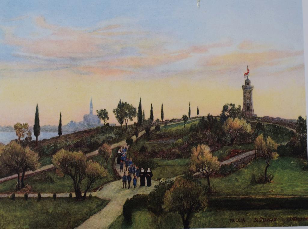
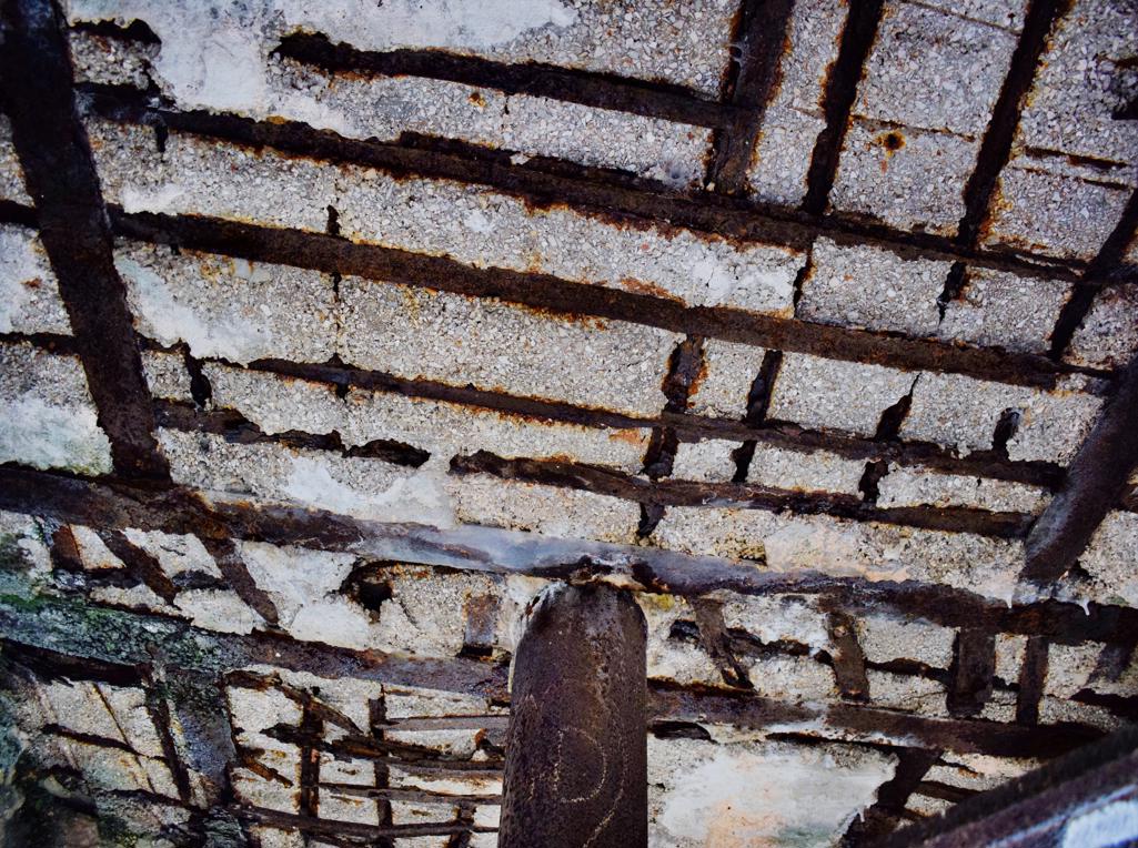
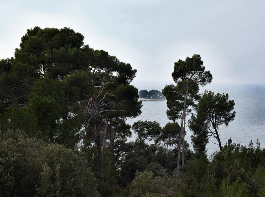
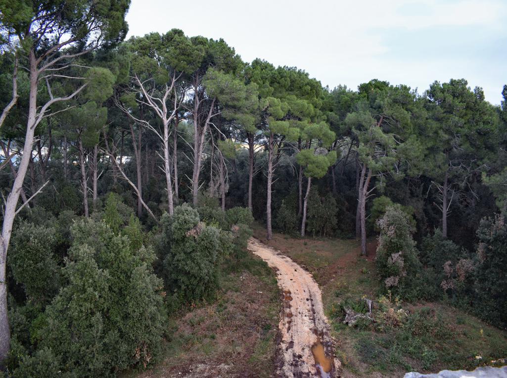
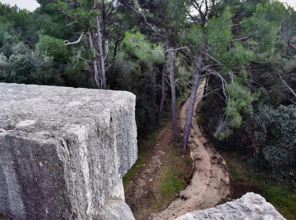
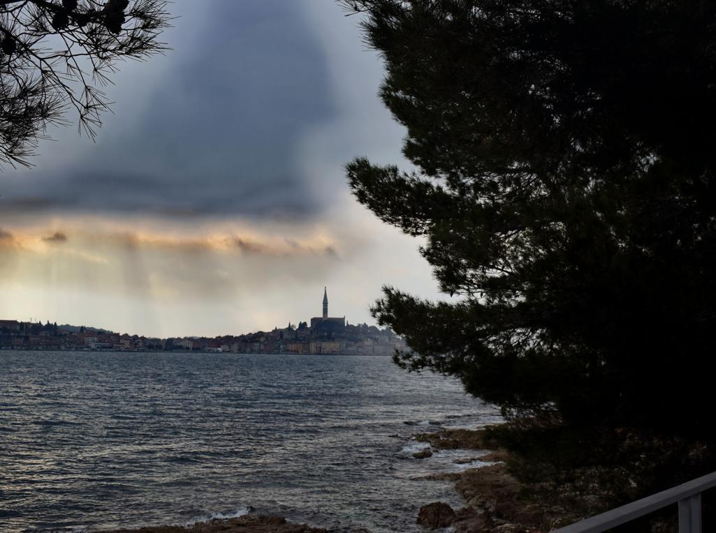
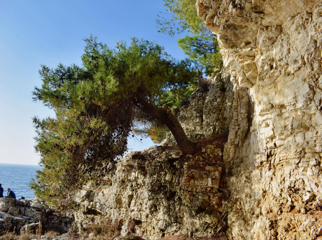
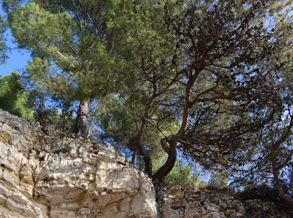
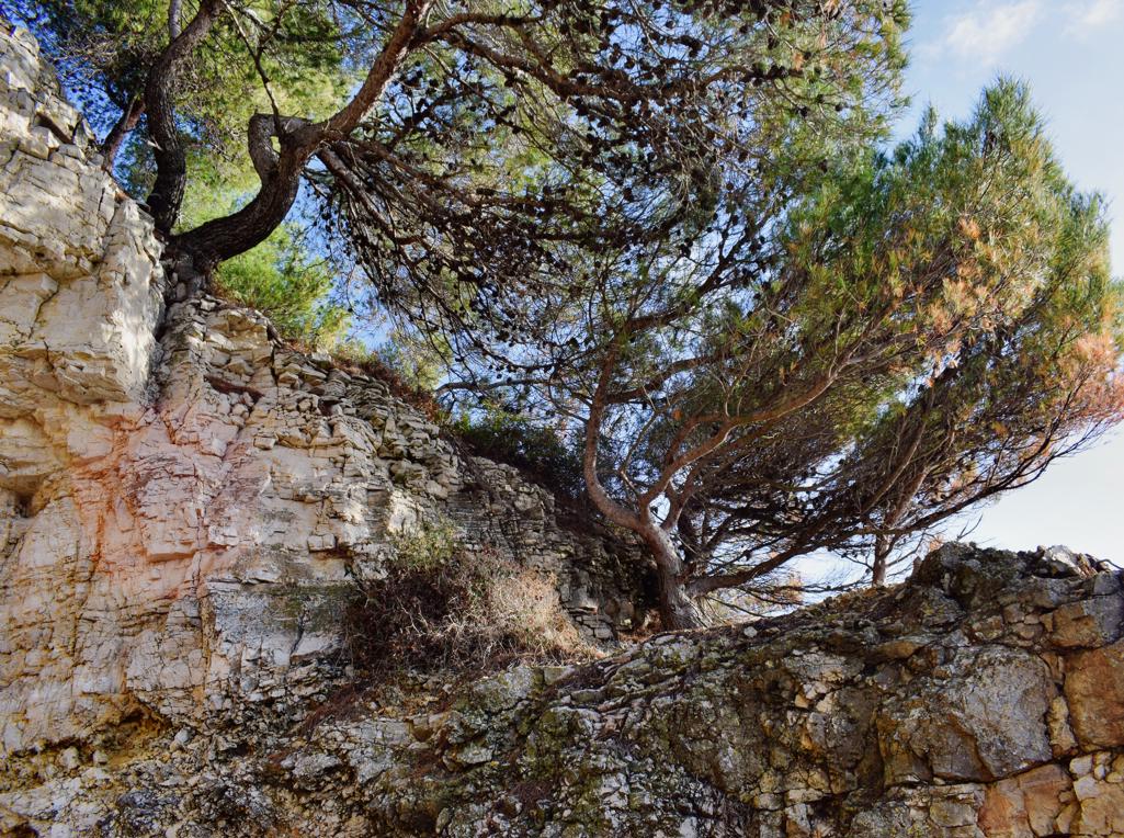
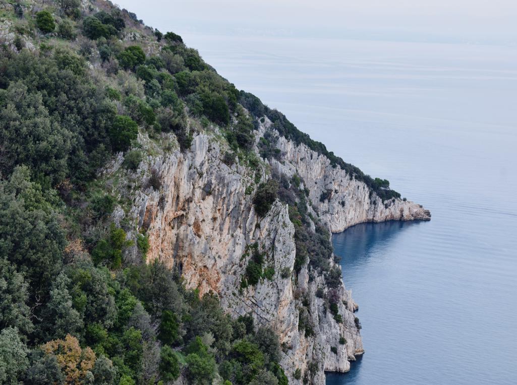
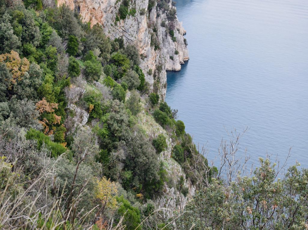
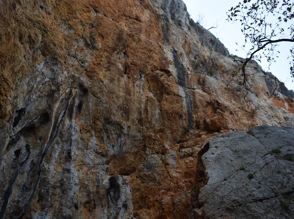
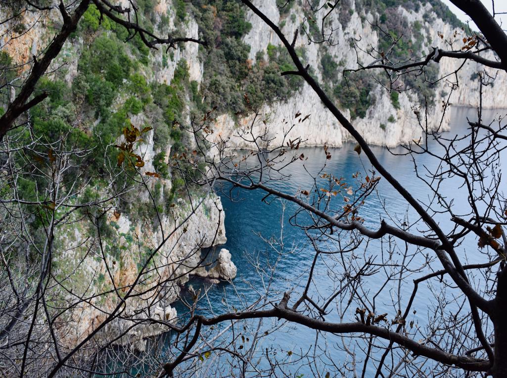
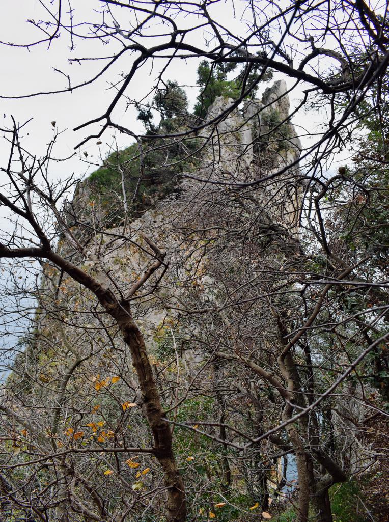
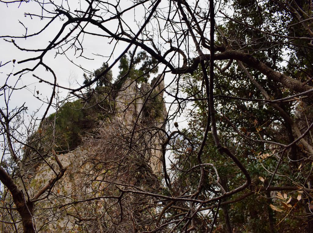
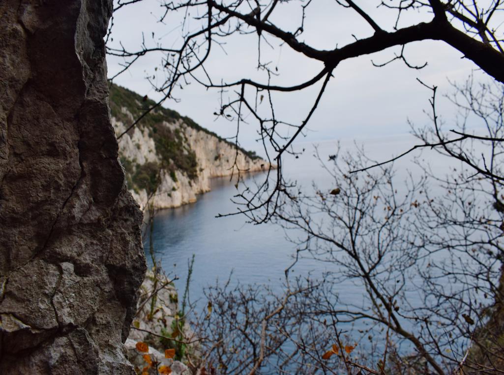
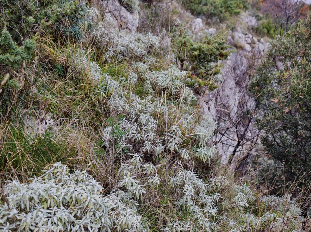
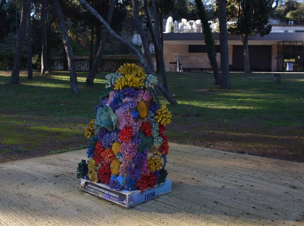
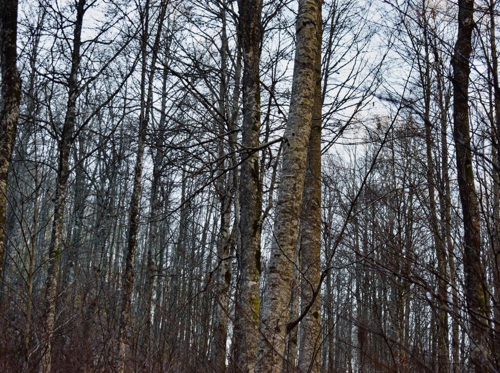
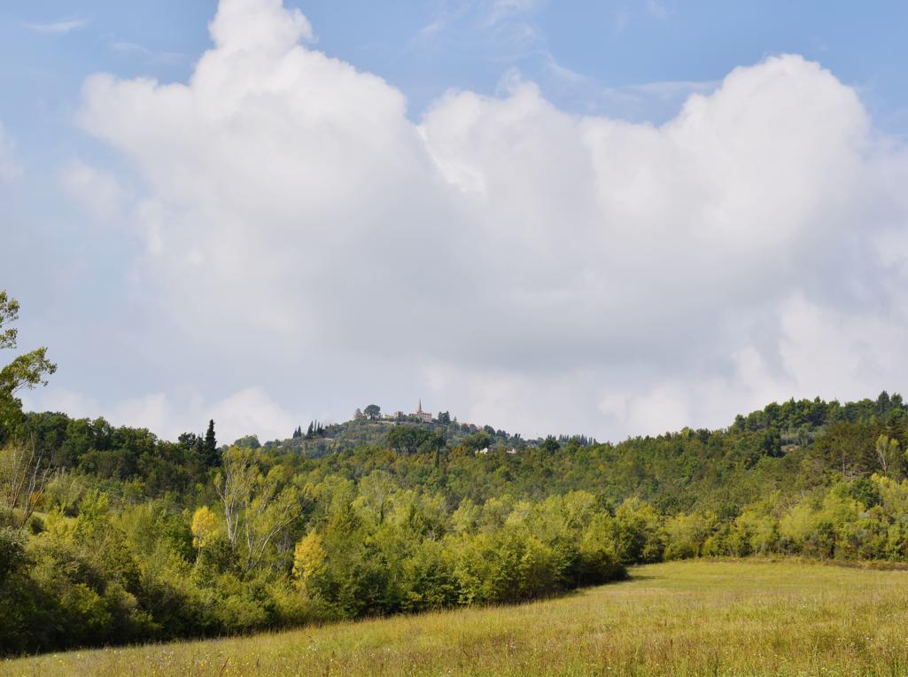
Name: Trail along the bays Lešo, Valdebora and the cape Muća – Observation post Dr. Karl Lueger from 1908.
Place: Rovinj.
Coordinates: Observation tower 45,09585 N – 13.63154 E.
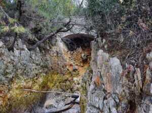
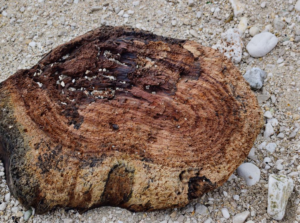
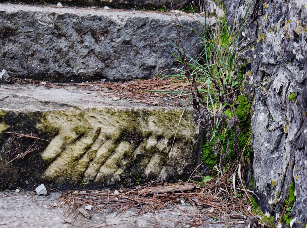
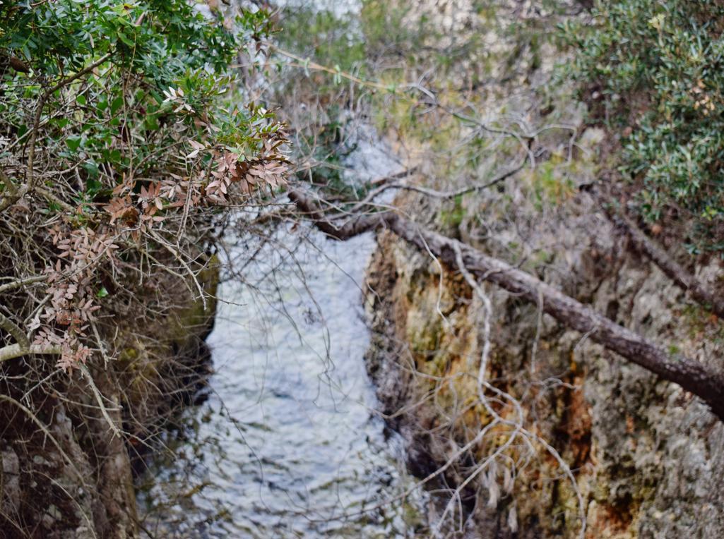
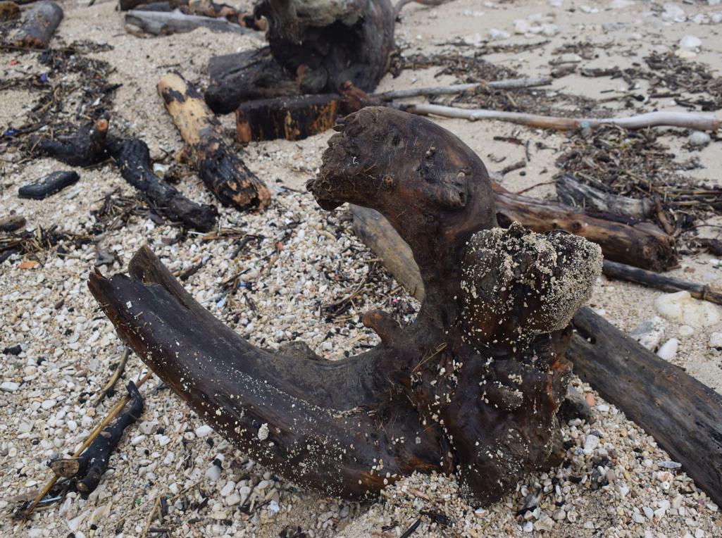
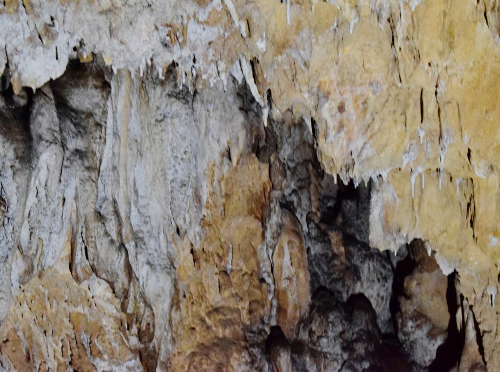
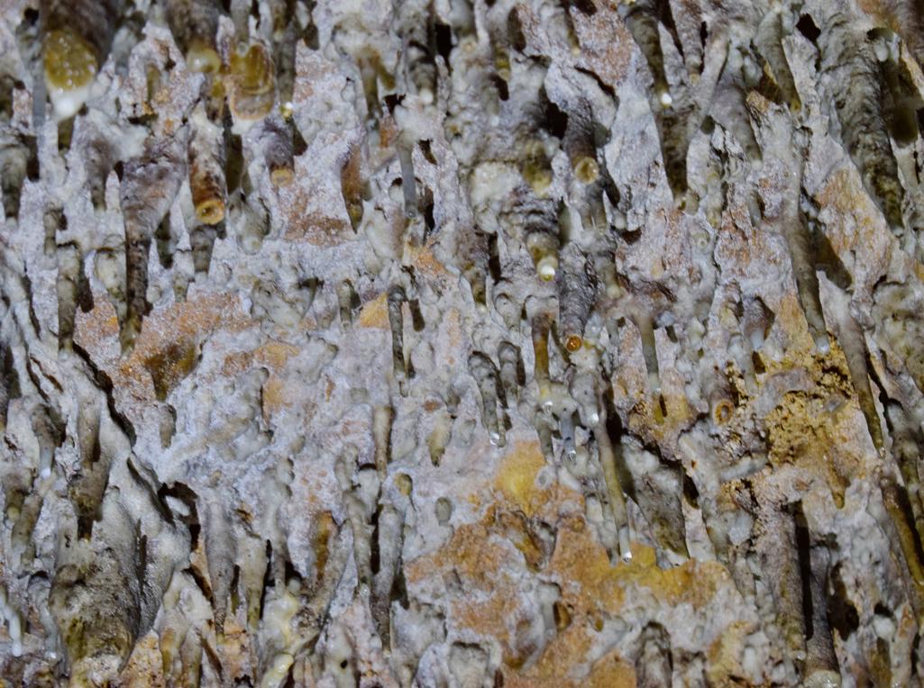
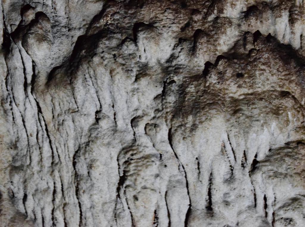
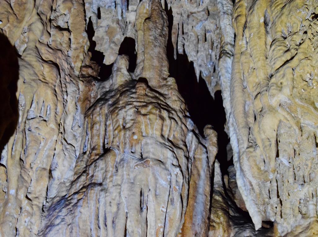
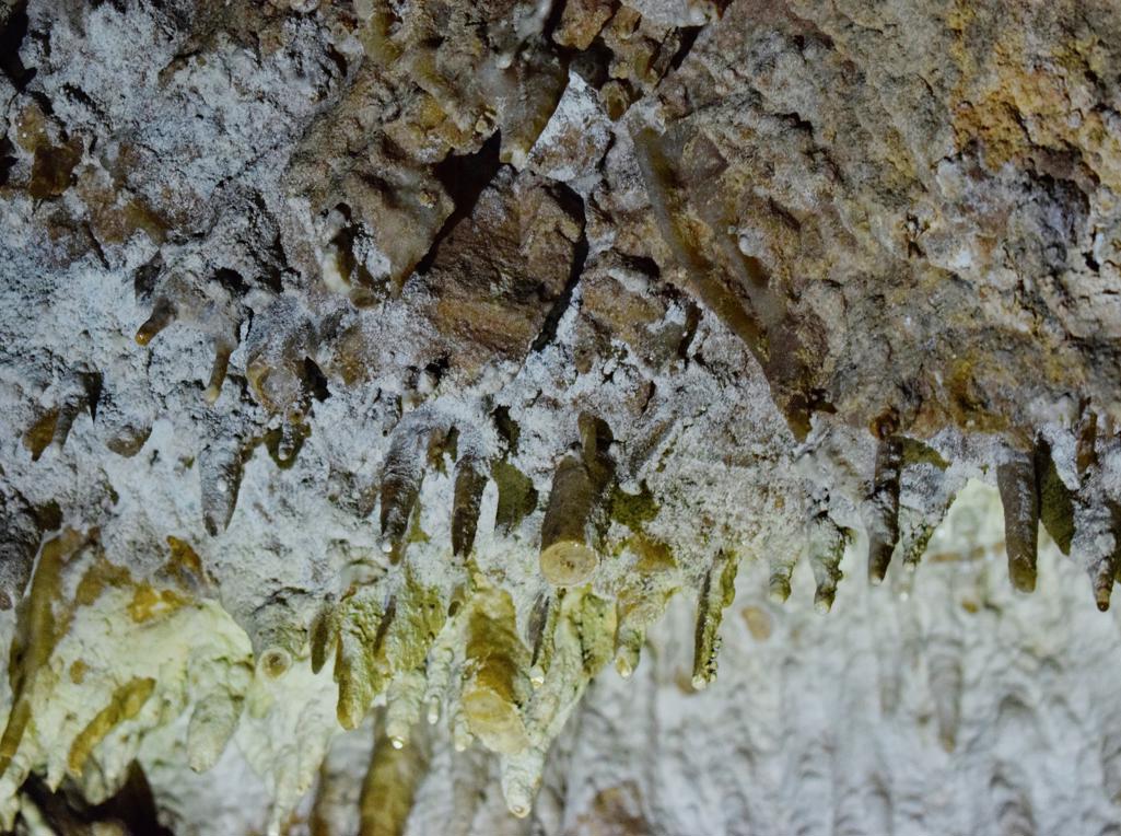
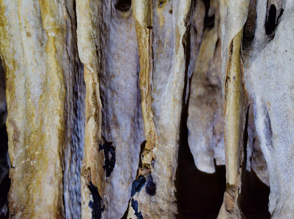
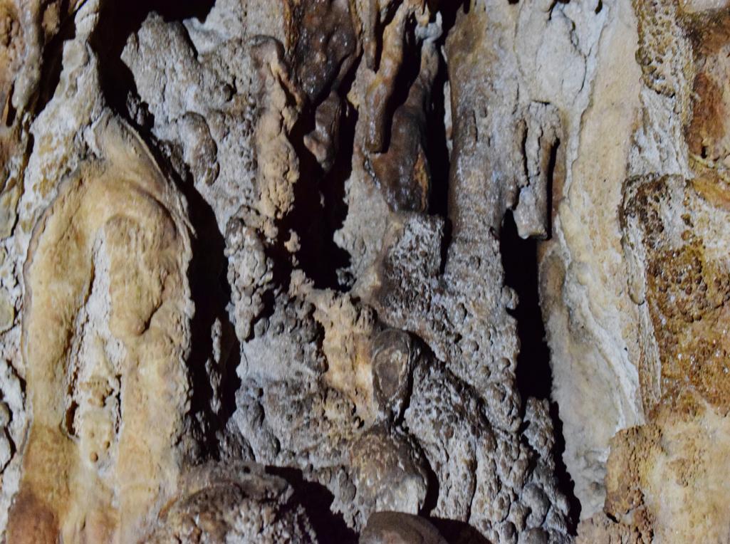
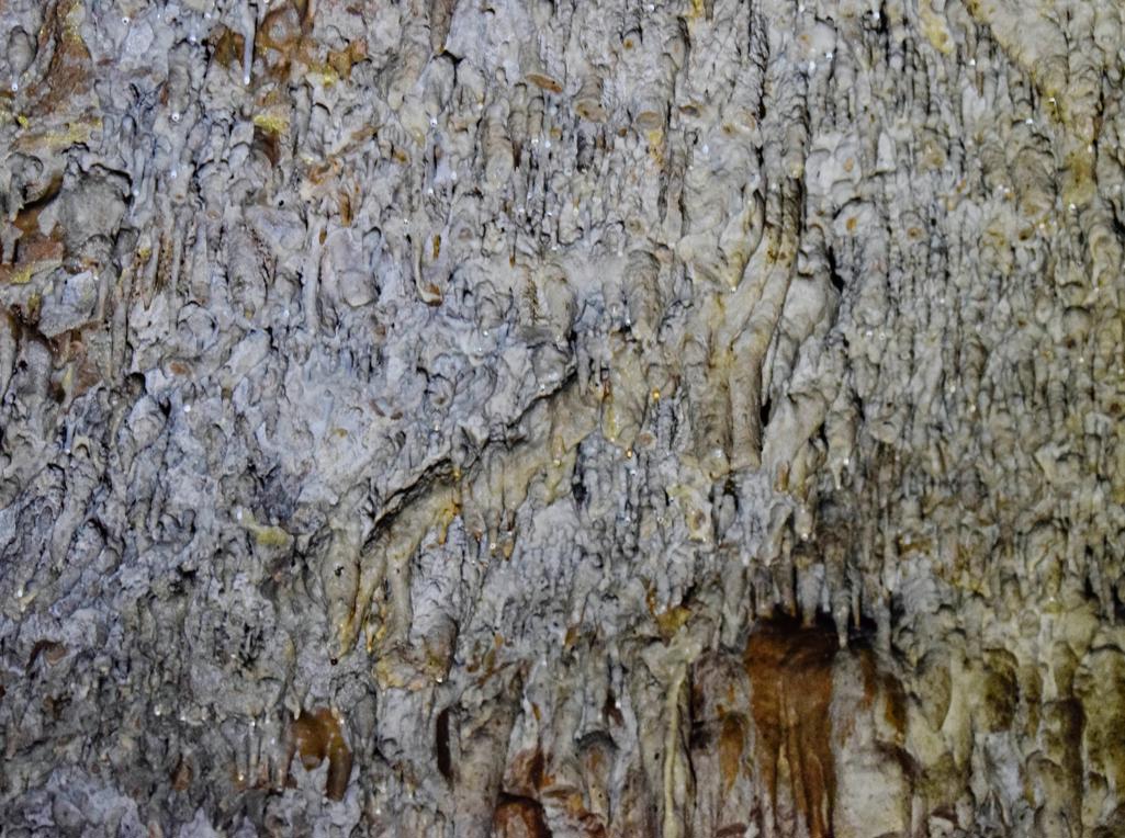
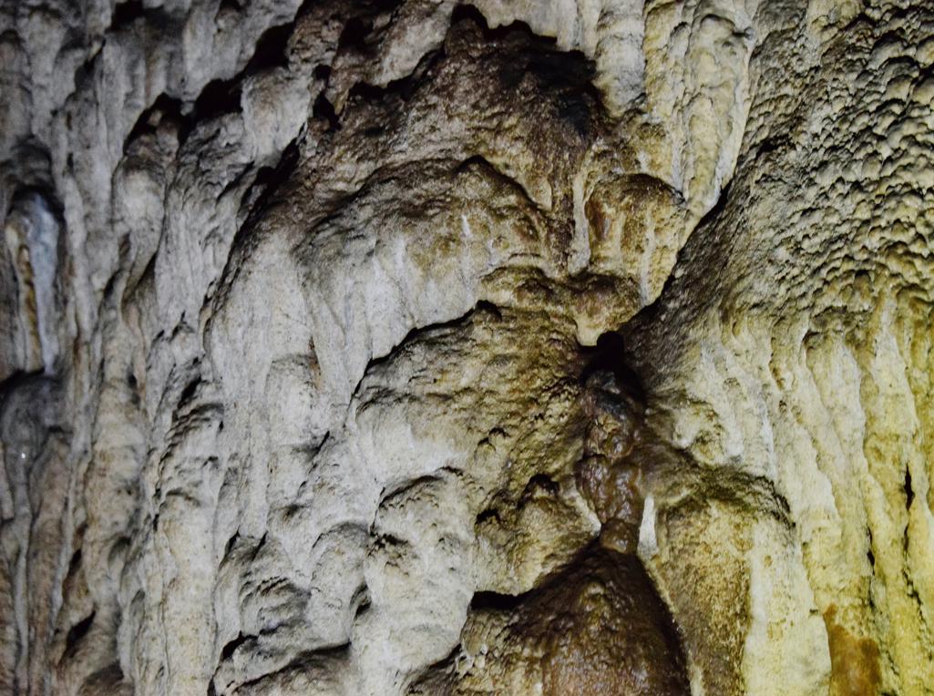
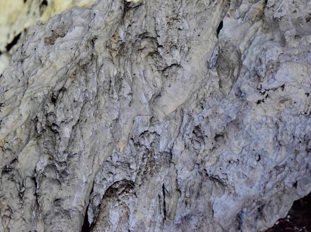
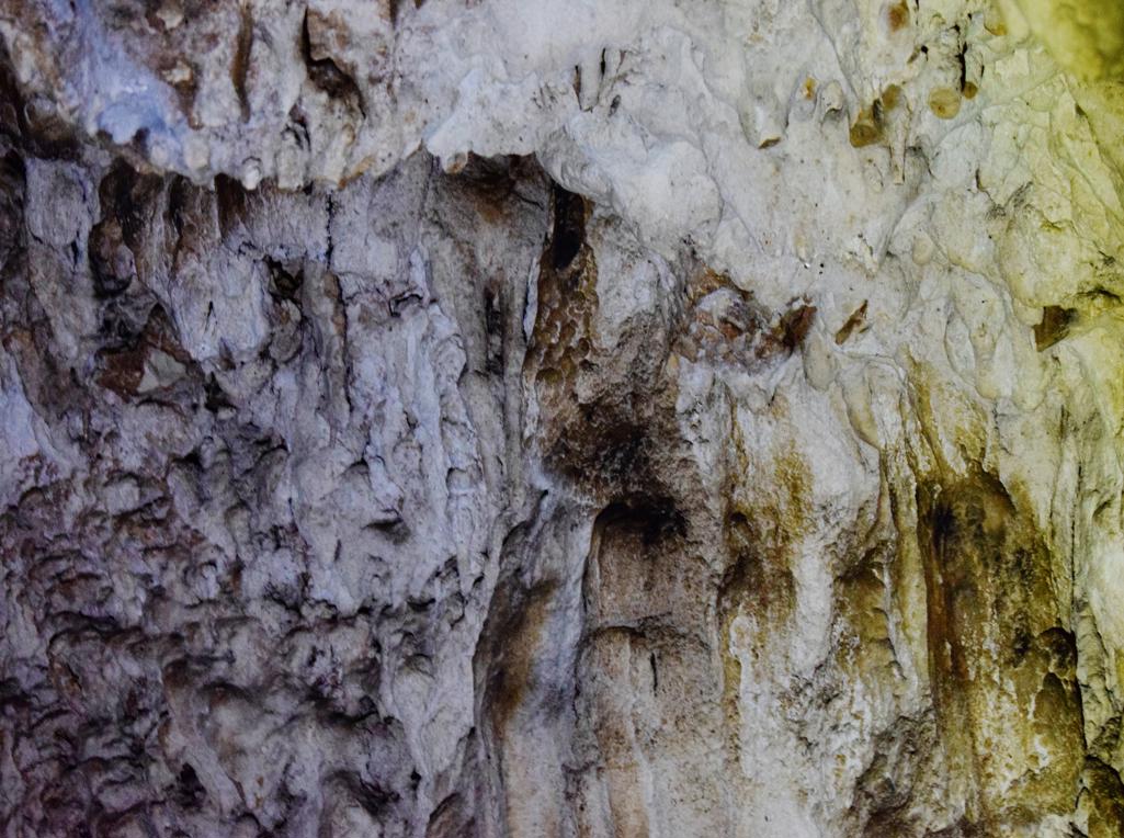
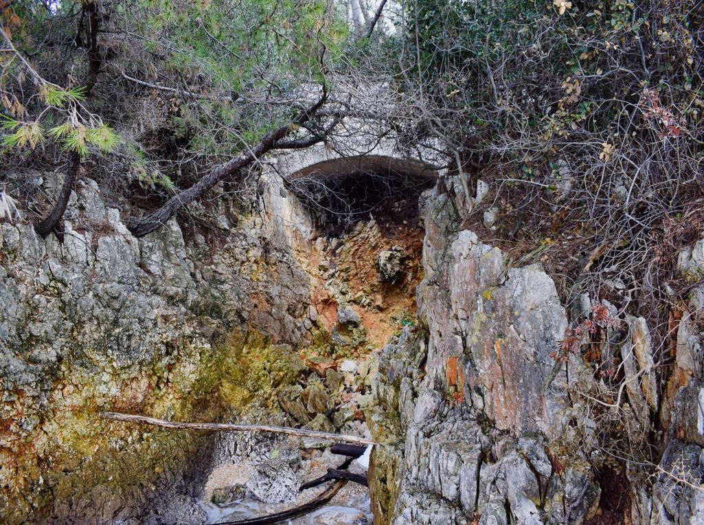
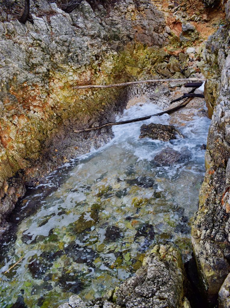
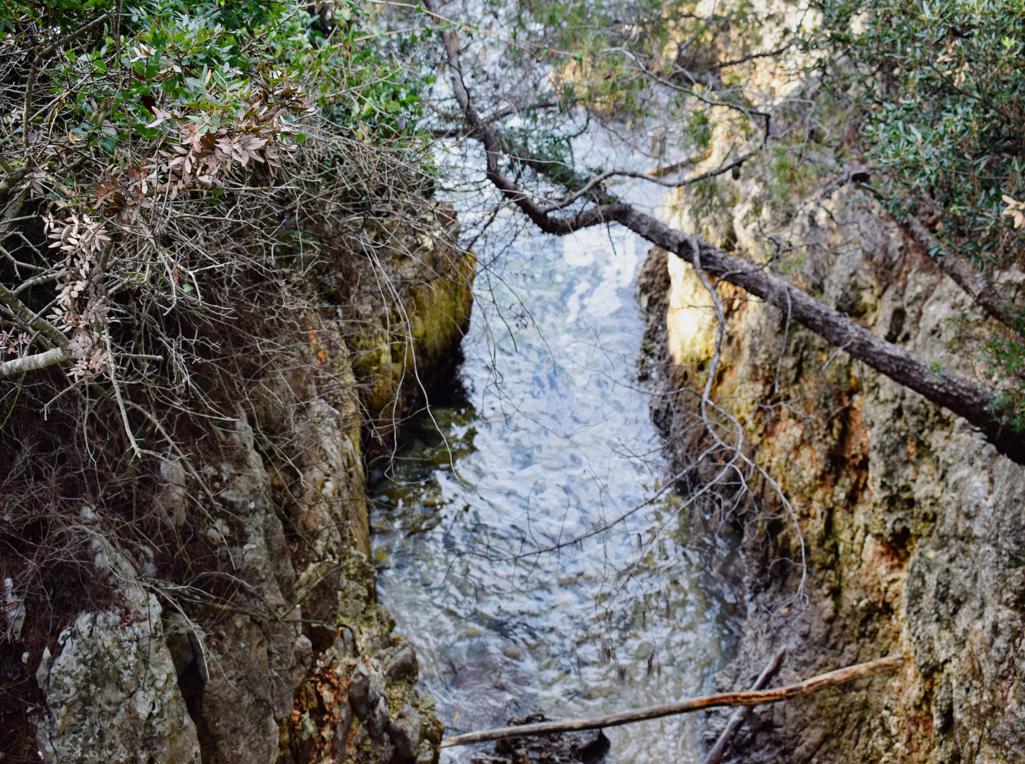
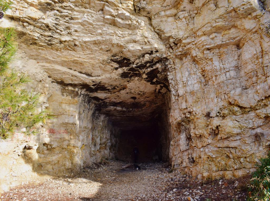
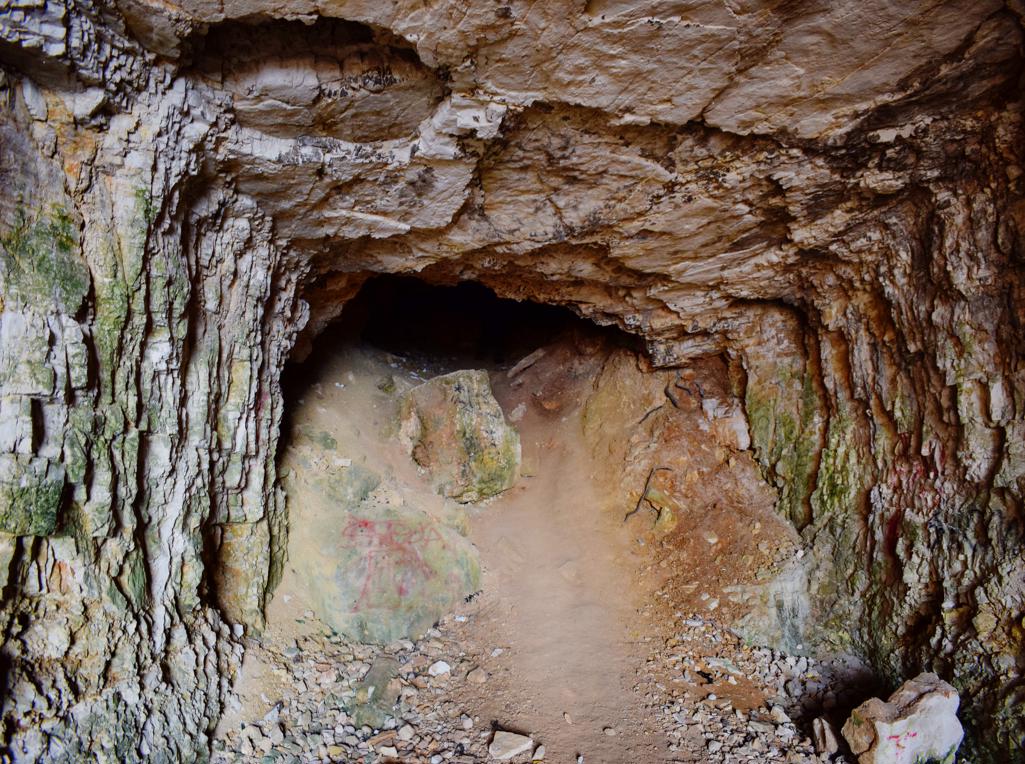
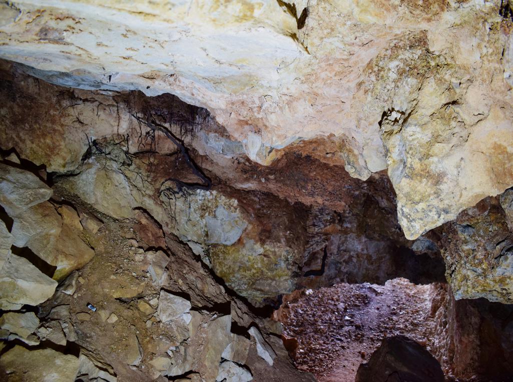
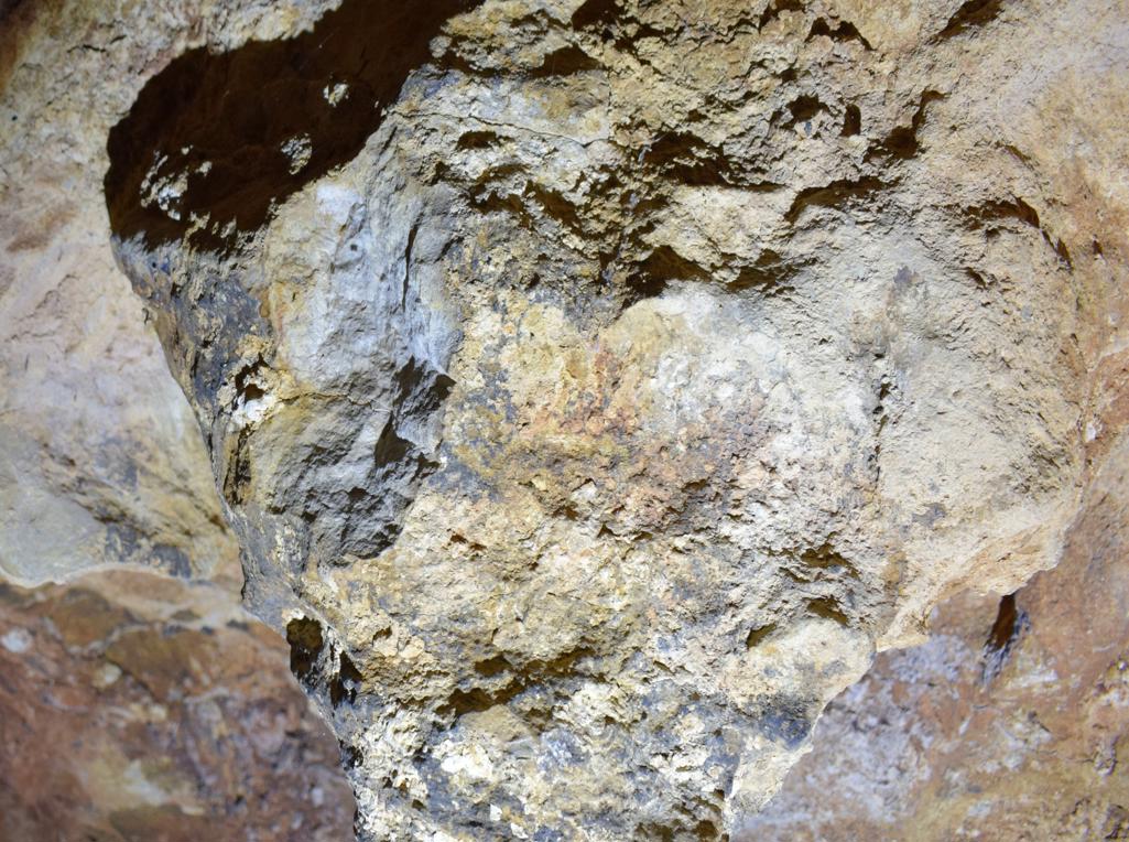
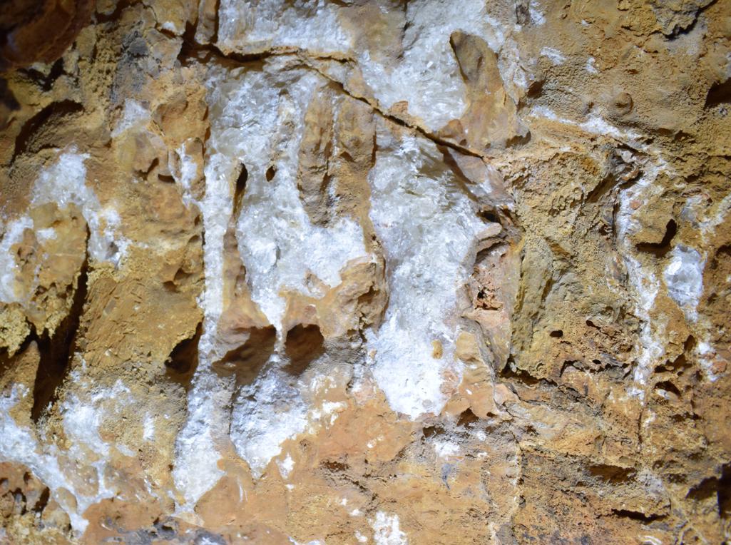
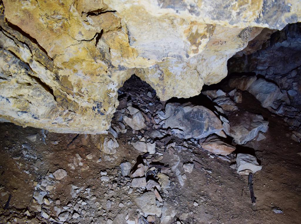
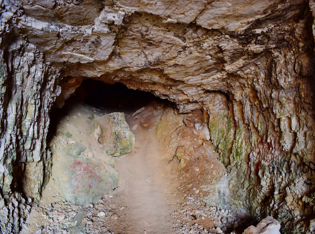
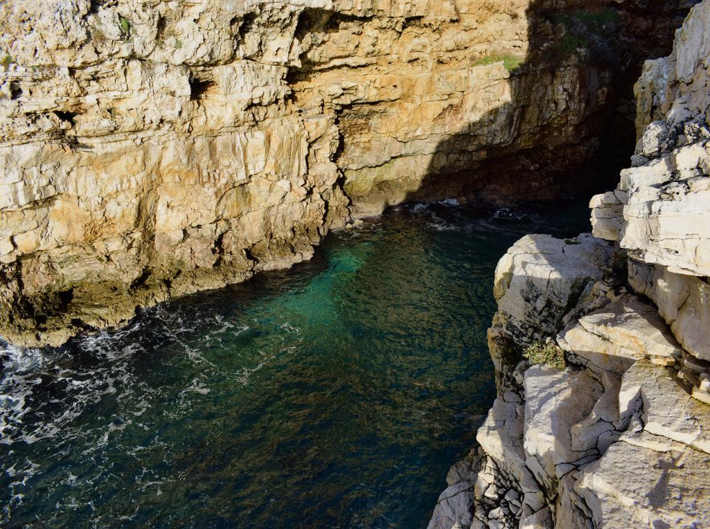
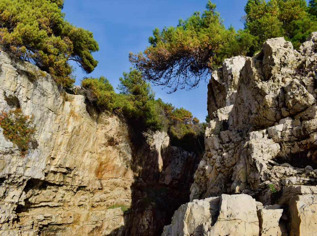
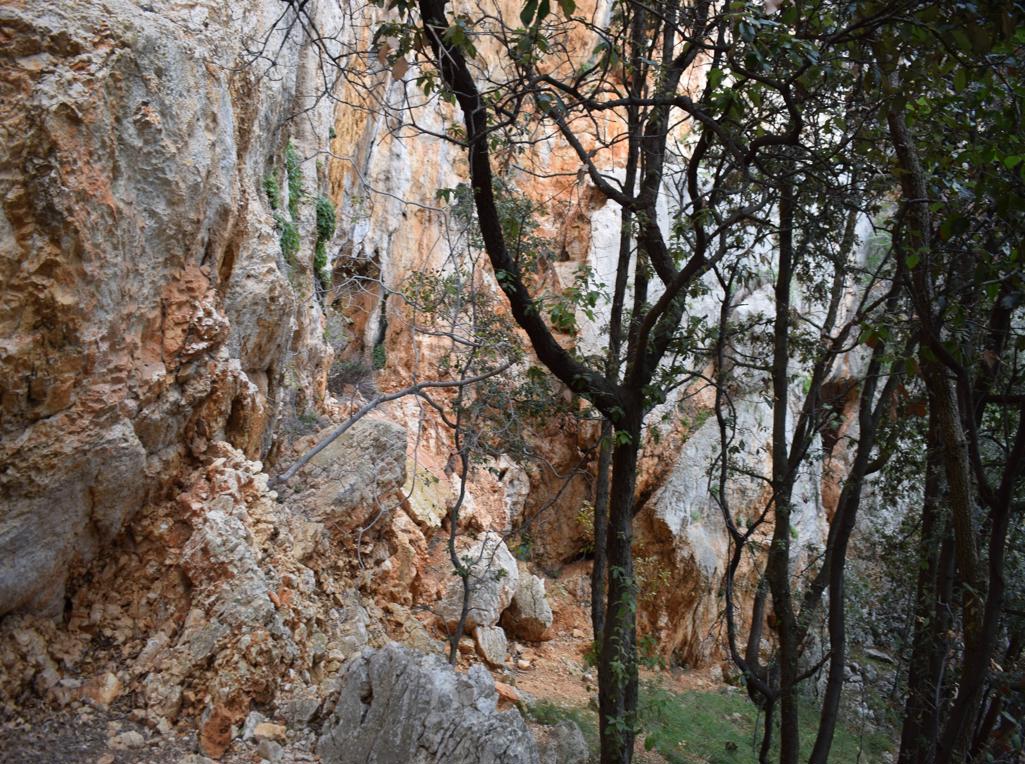
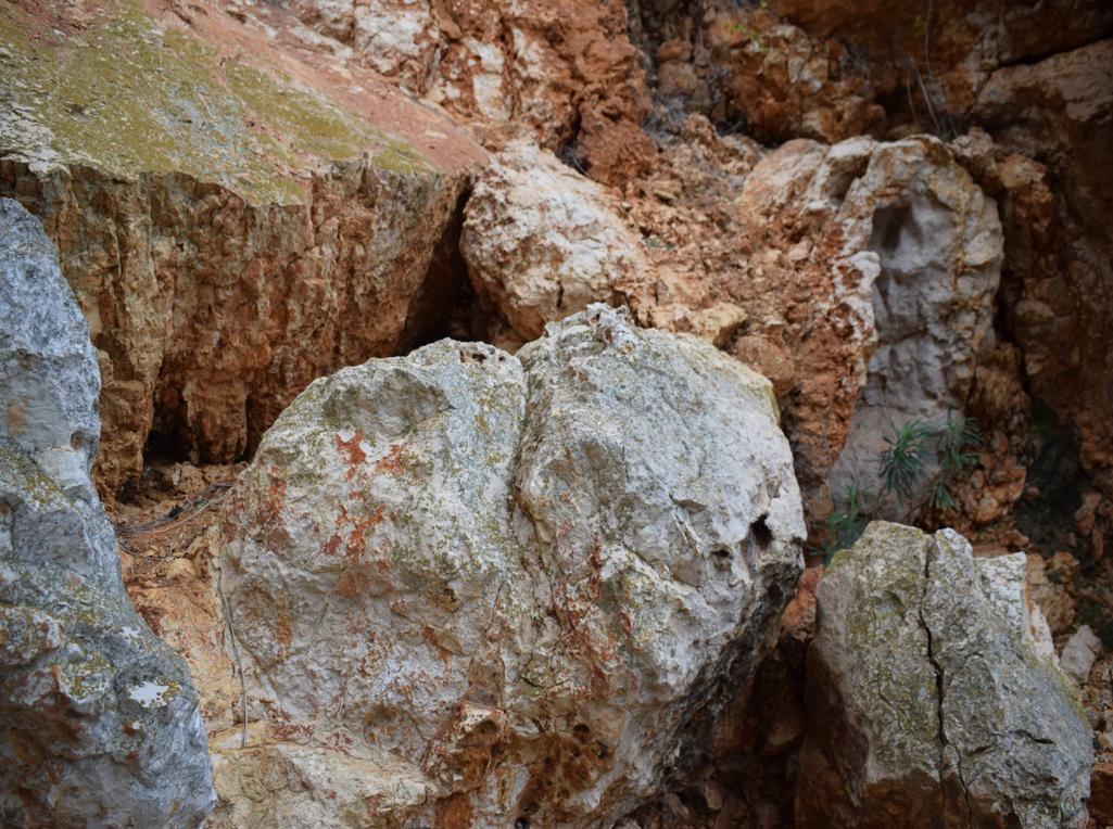
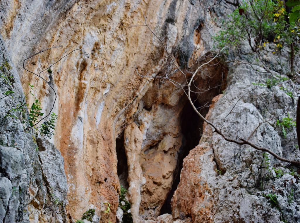
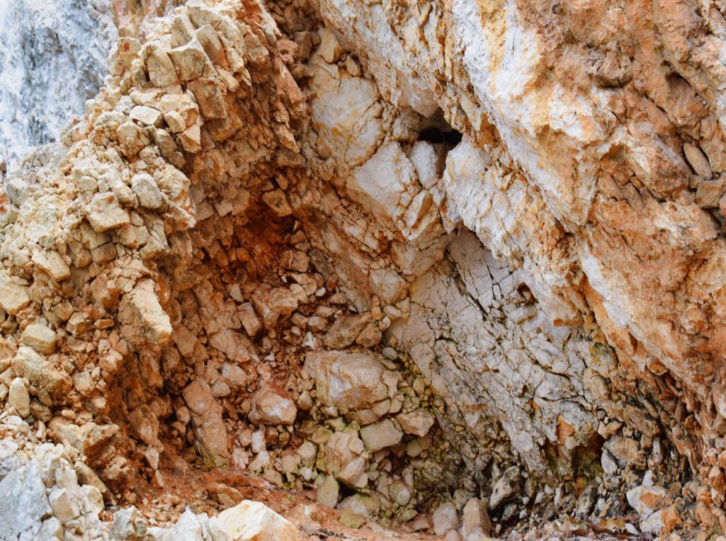
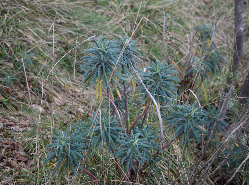
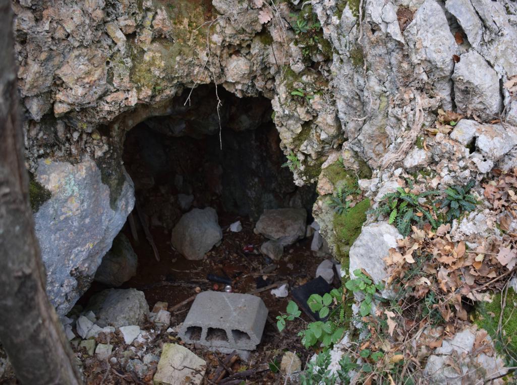
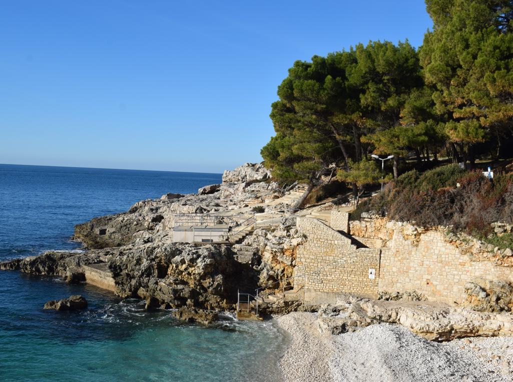
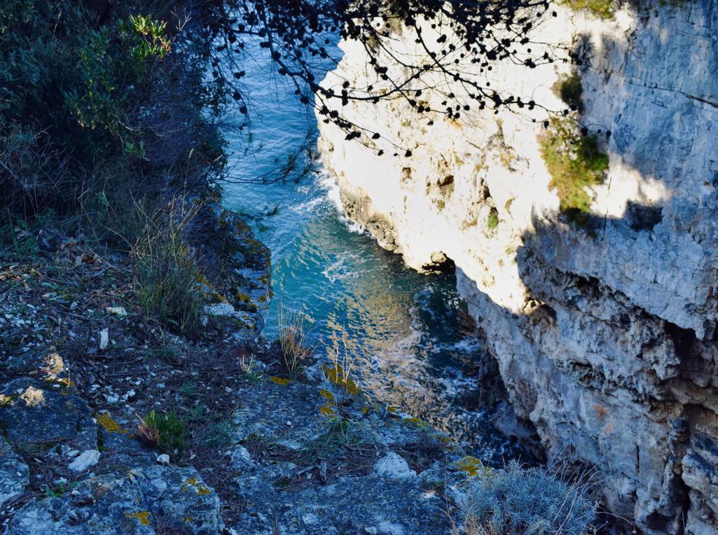
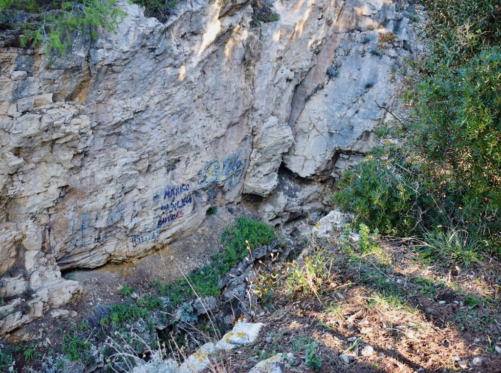
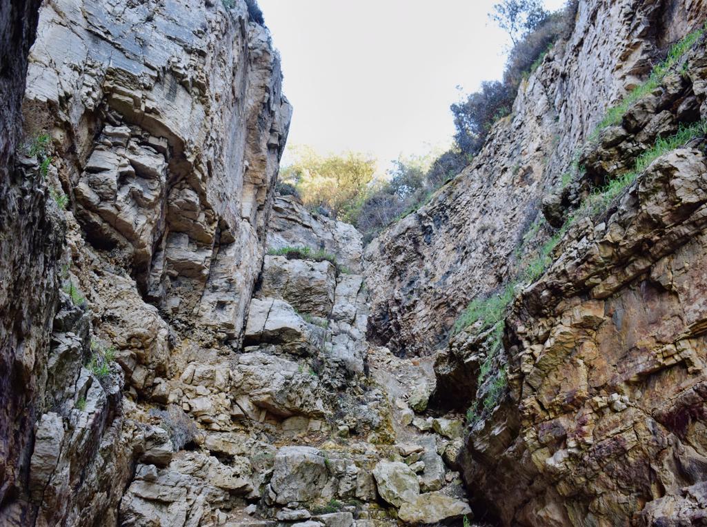
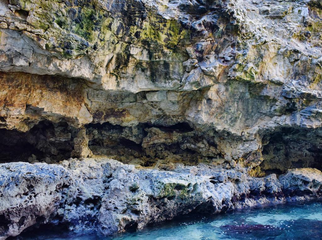
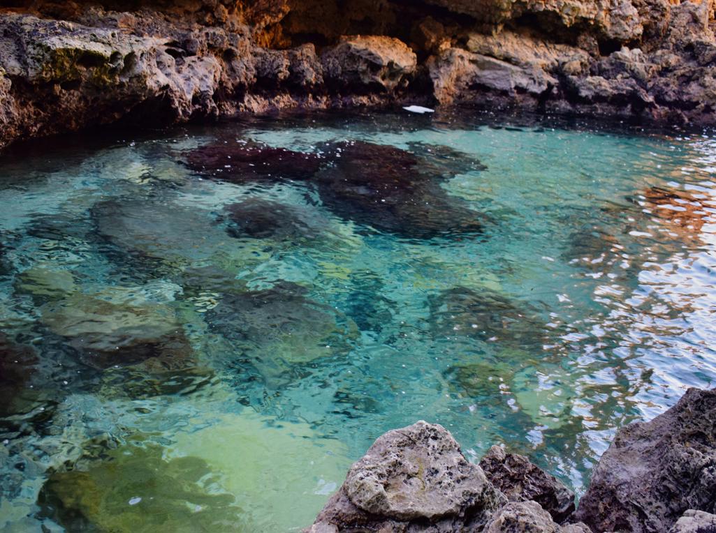
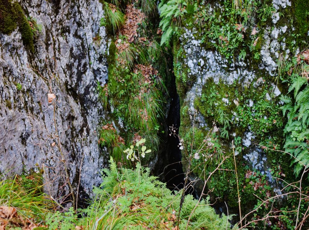
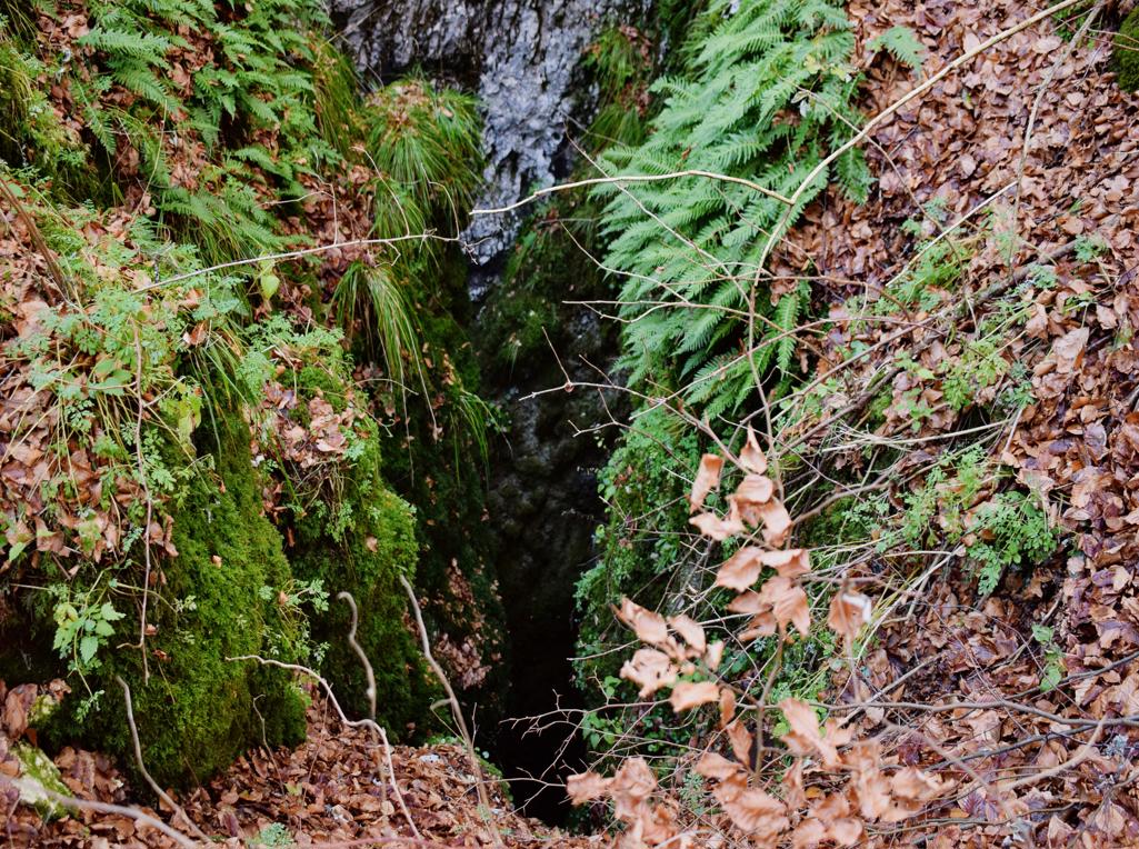
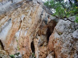
Name: Tunnel near canyon Veruda.
Place: Pula.
Coordinates: 44.83558 N – 13.82785 E.
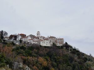
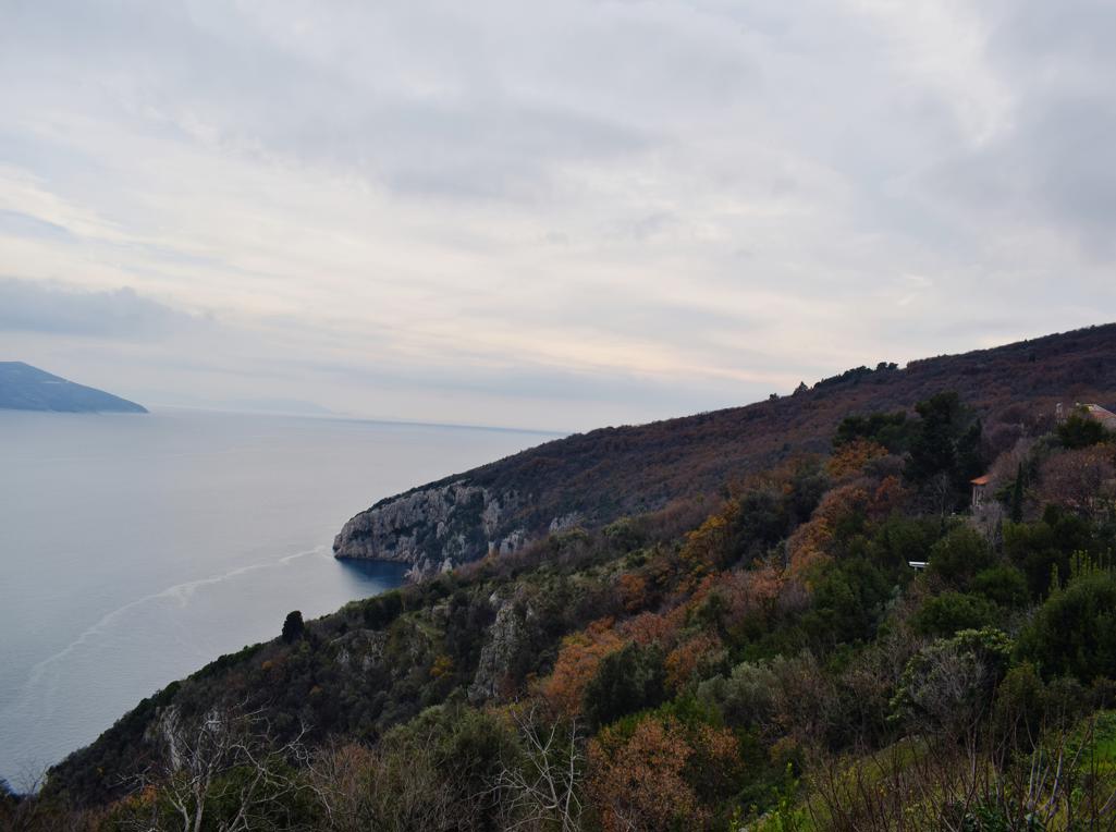
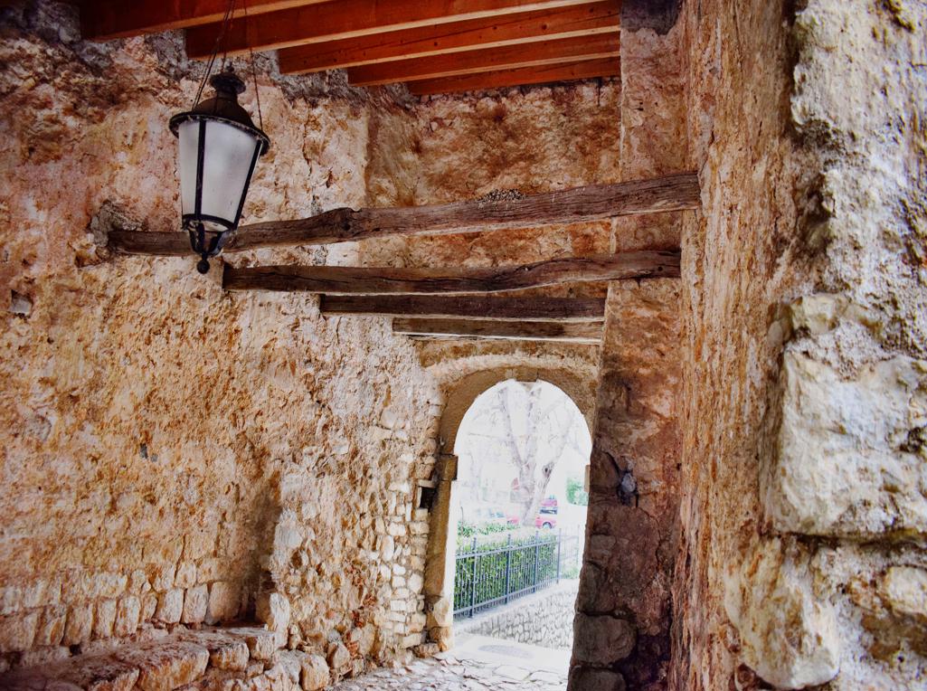
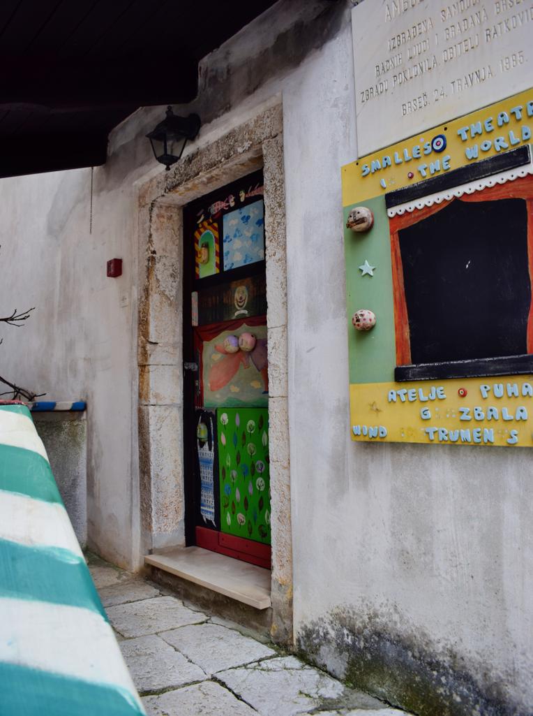
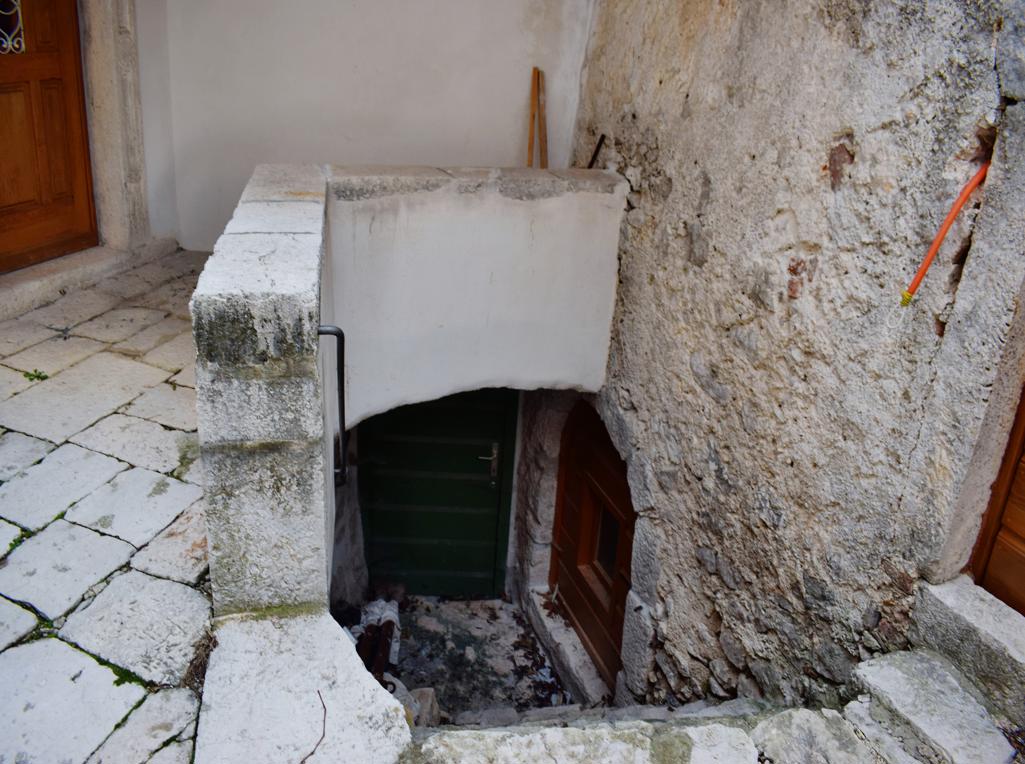
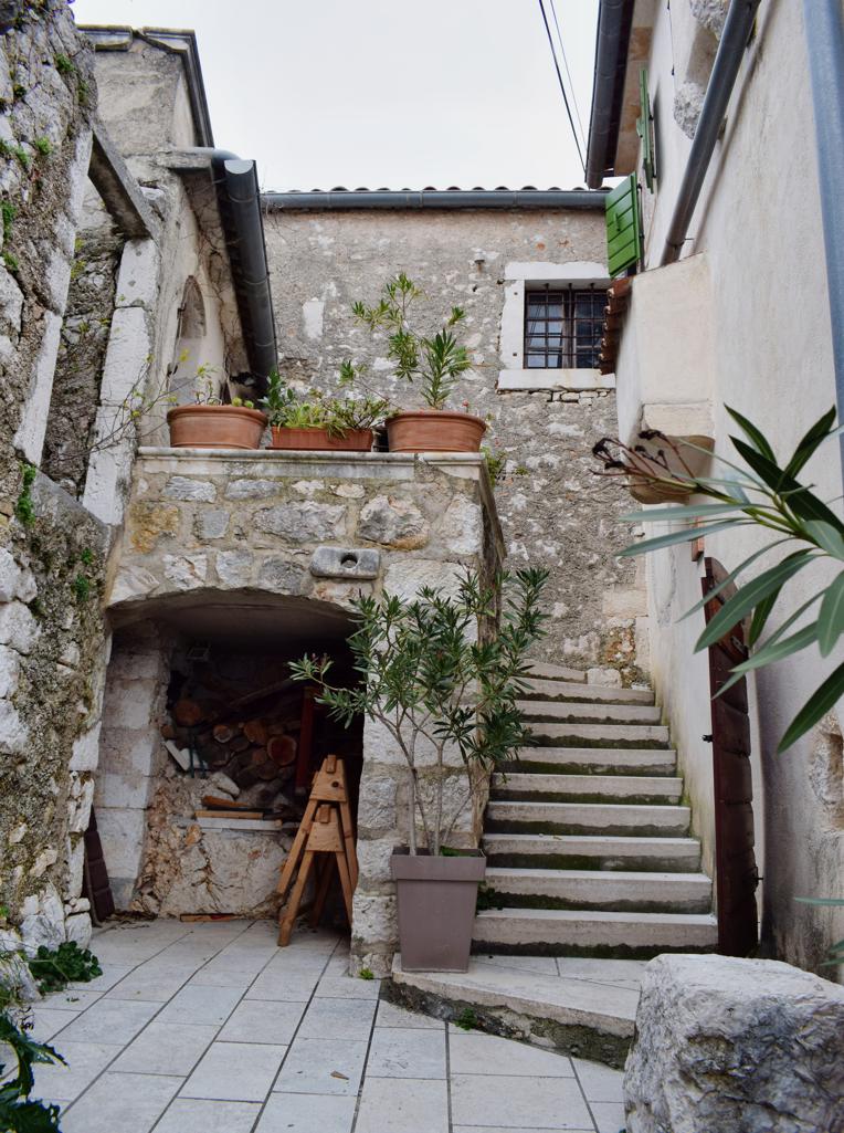
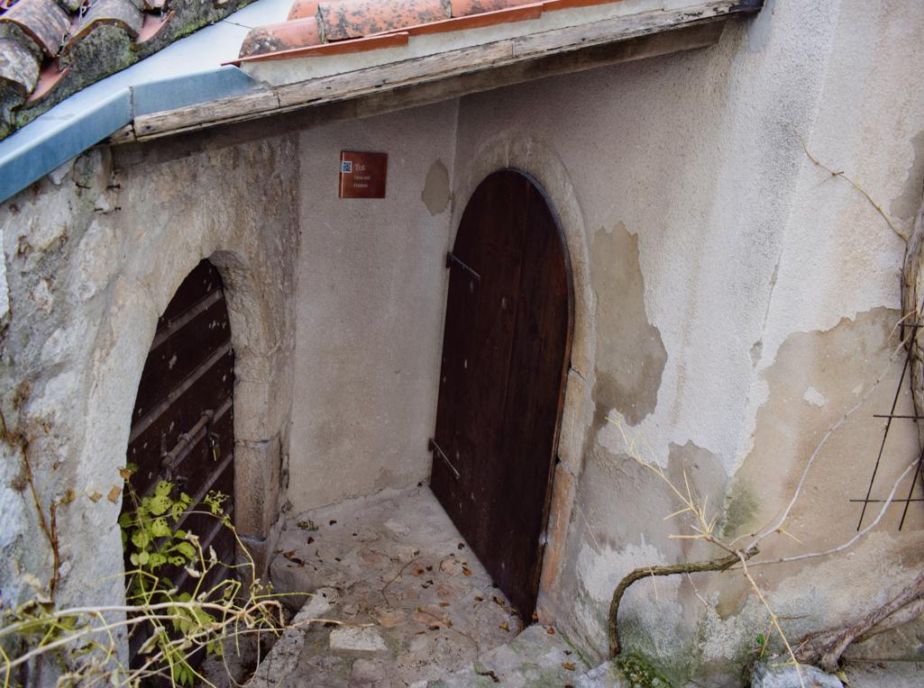
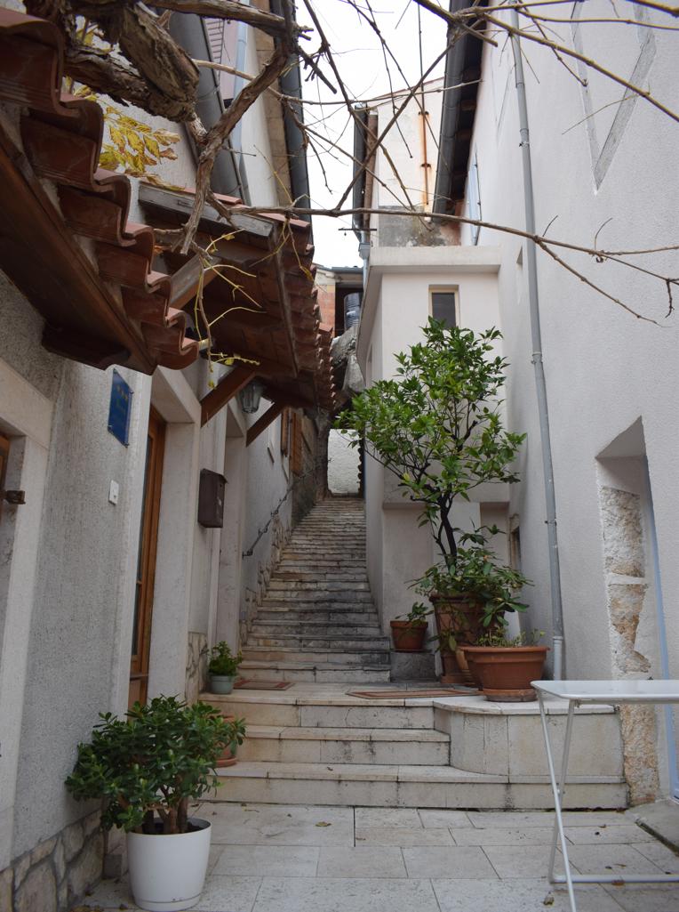
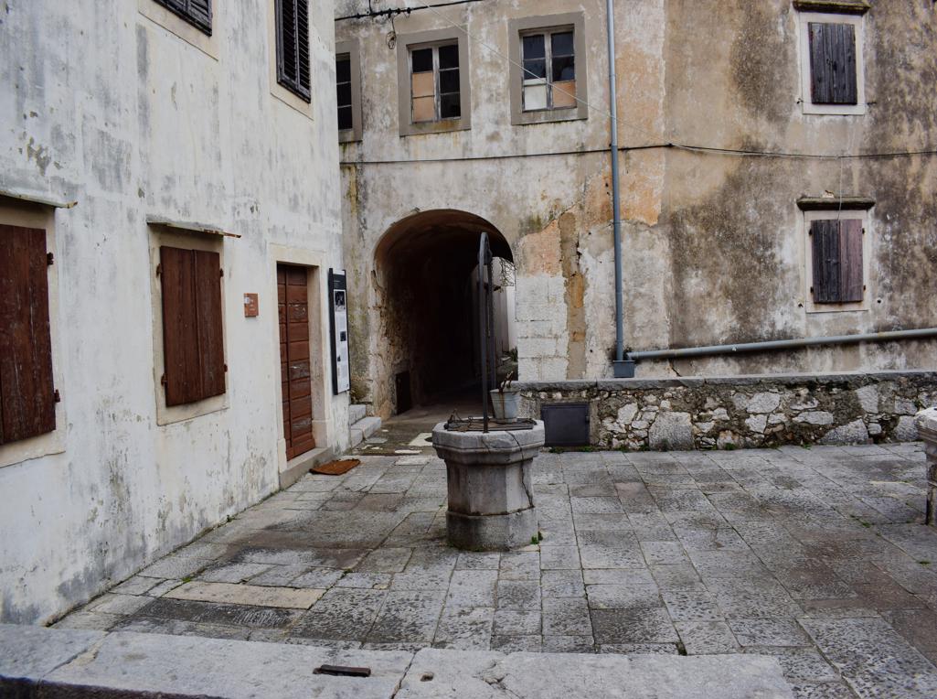
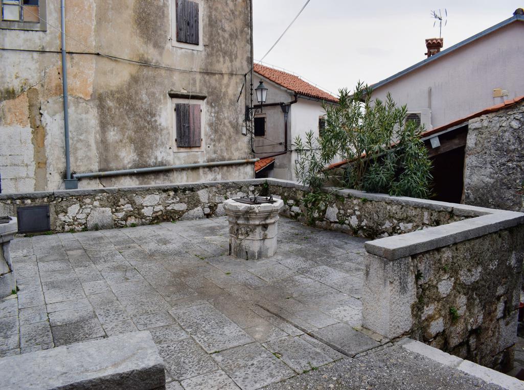
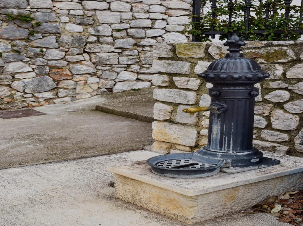
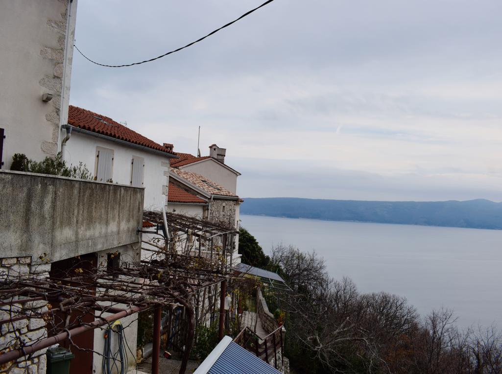
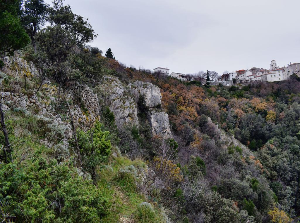
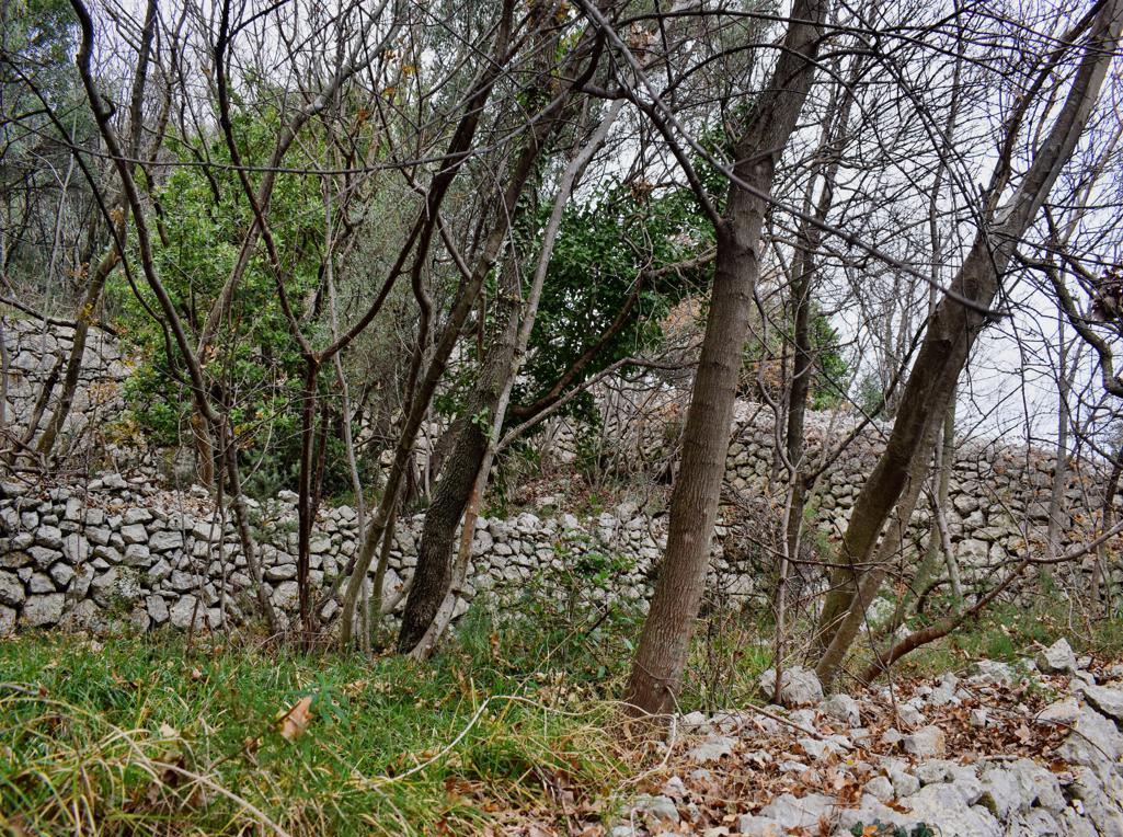
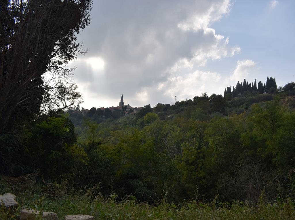
Name: The village Bresć.
Place: Brešć – (Mošćenicka Draga
Coordinates: 45.17828 N – 14.23423 E
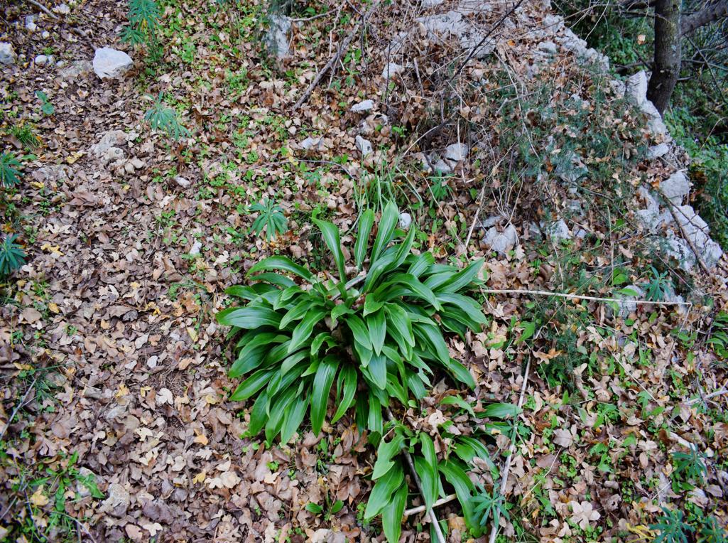
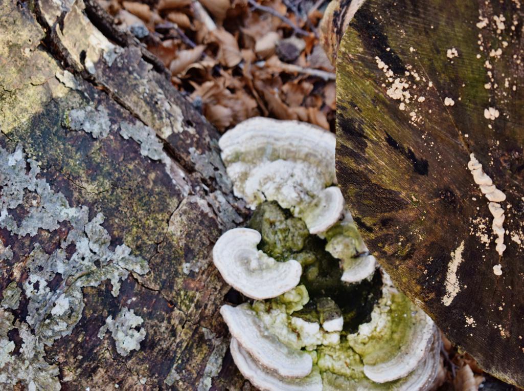
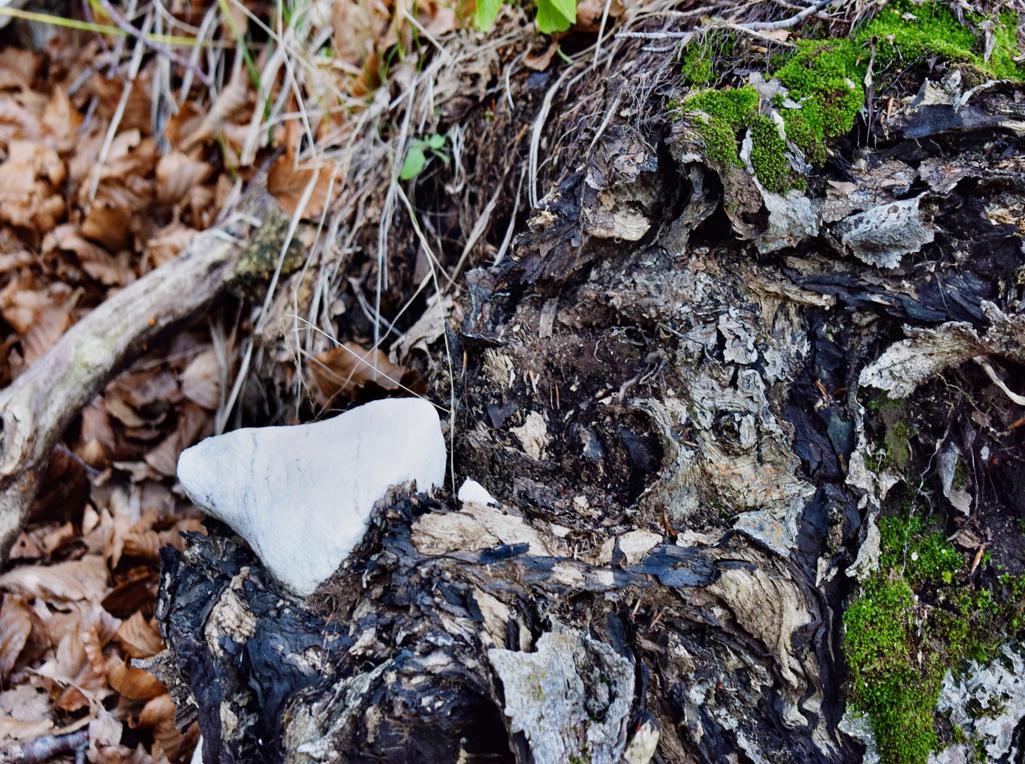
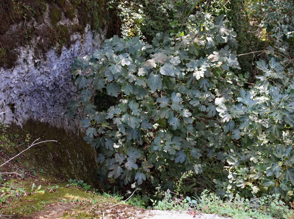
Prehistorisch settlement between cape Golubera and the uvala Sadrišće.
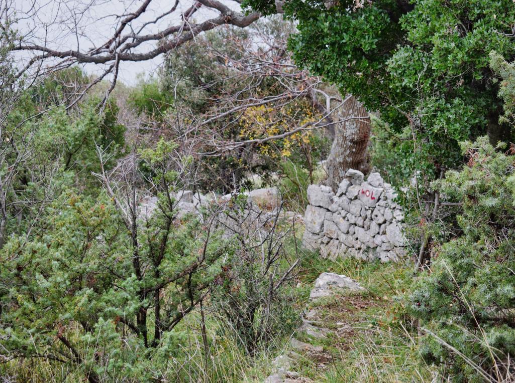
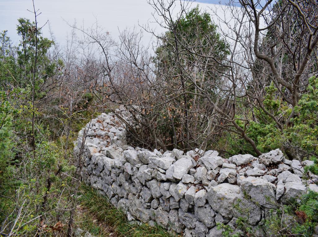
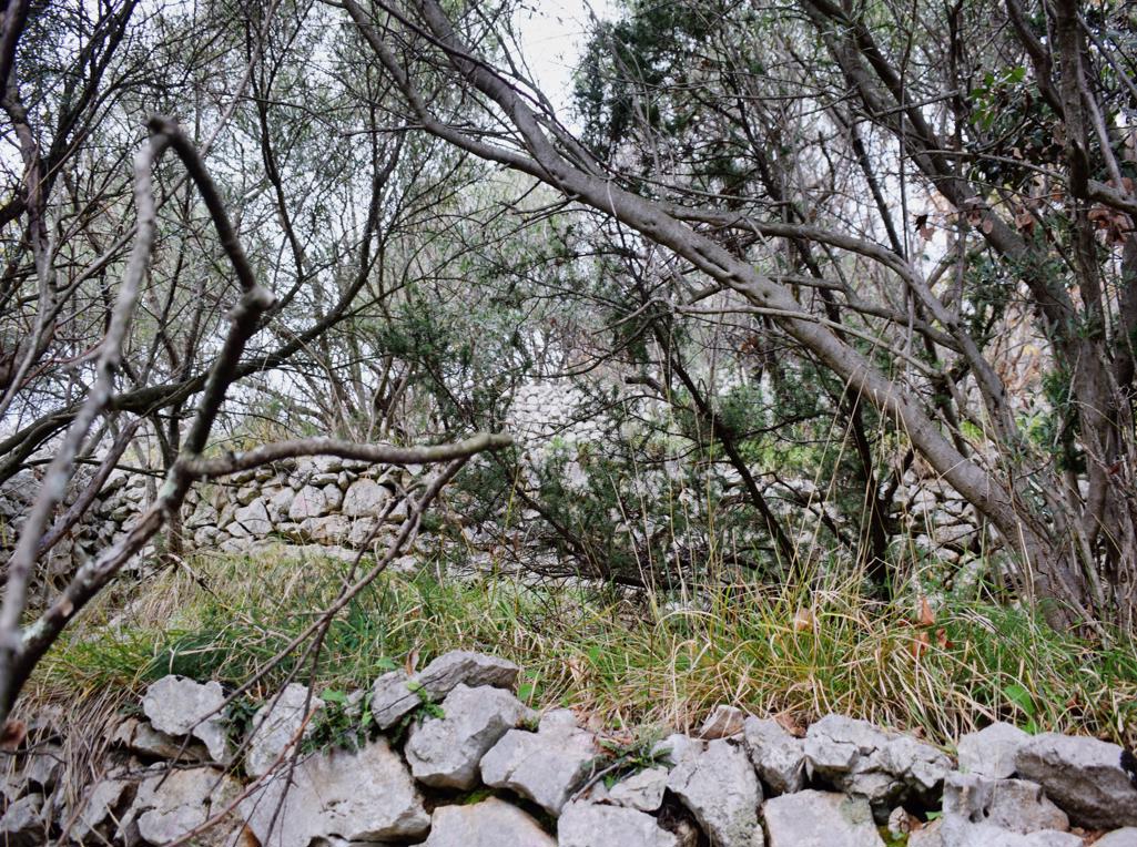
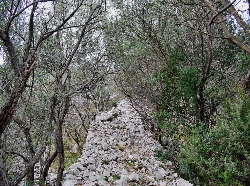
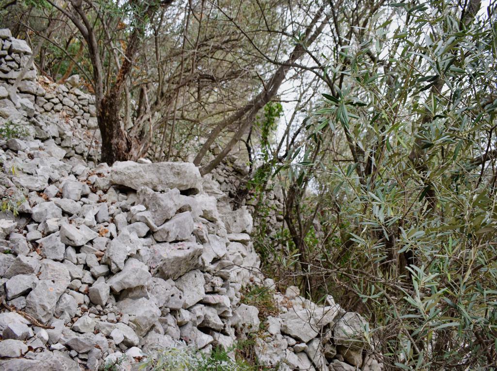
Name: Trail from the village Bresć to the cave Golubera and a prehistorisch settlement.
Place: Bresč – (Moščnicka Draga).
Coordinates: Start trail 45.17734 N – 14.23416 E.
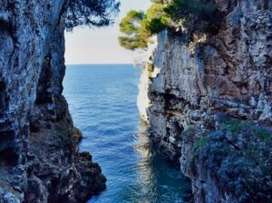
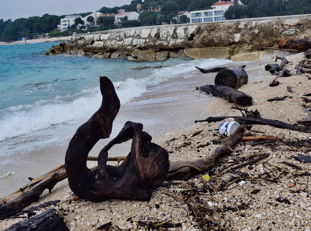
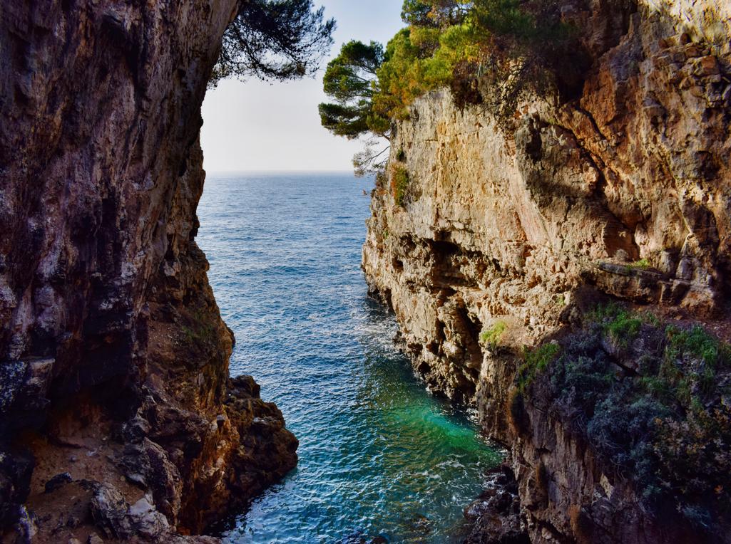
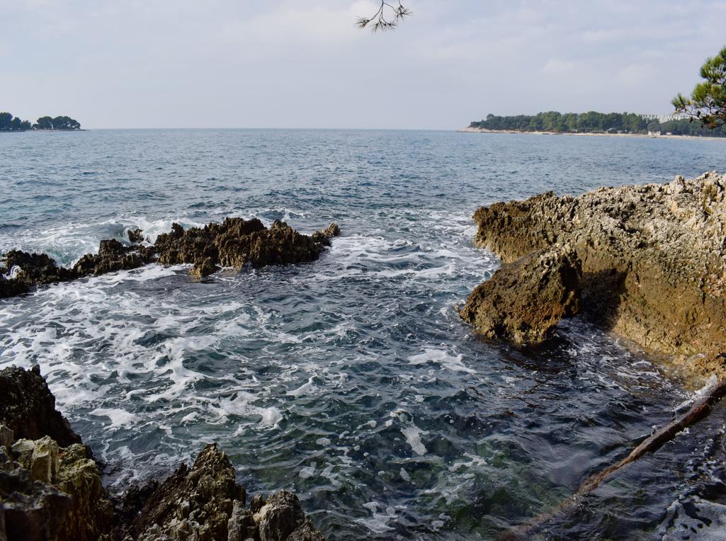
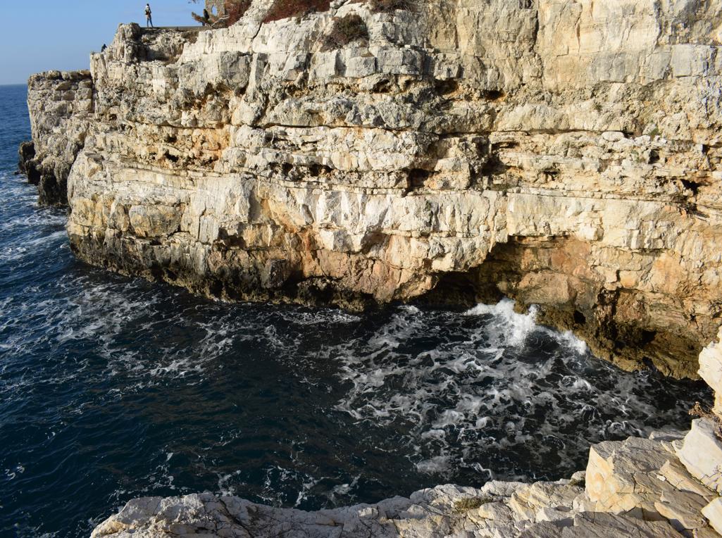
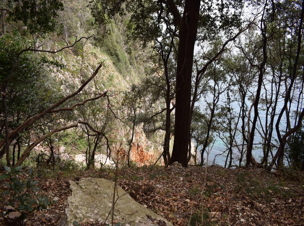
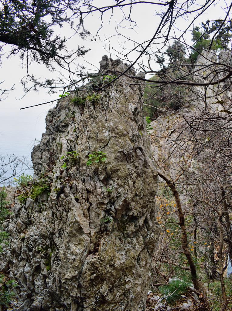
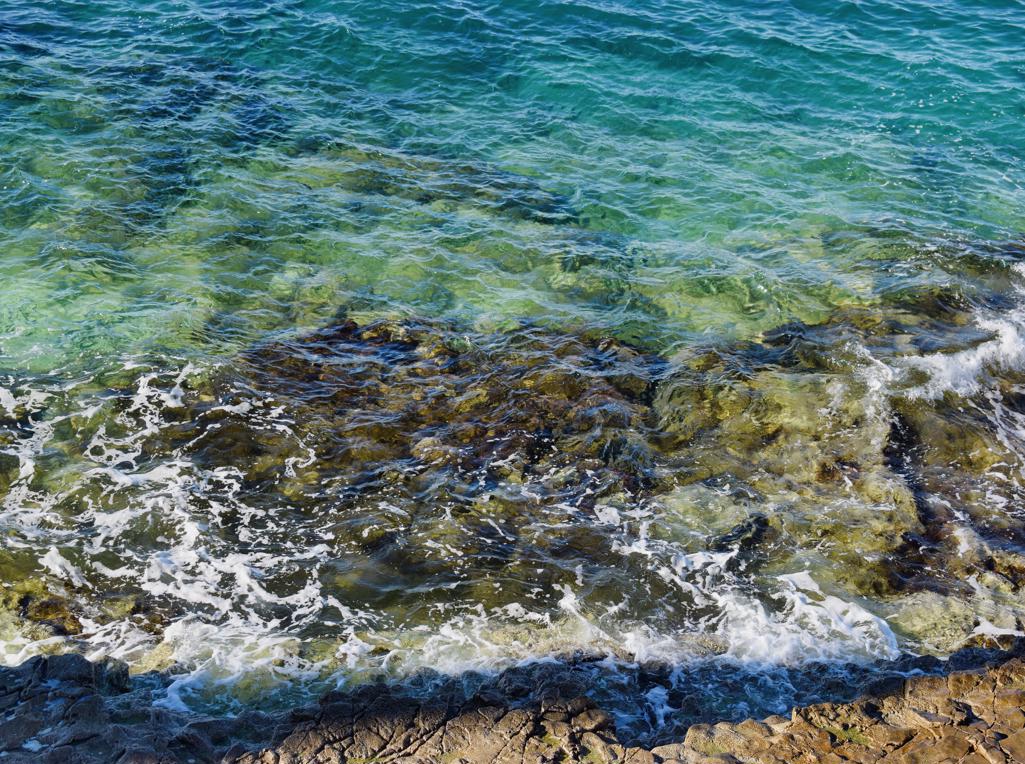
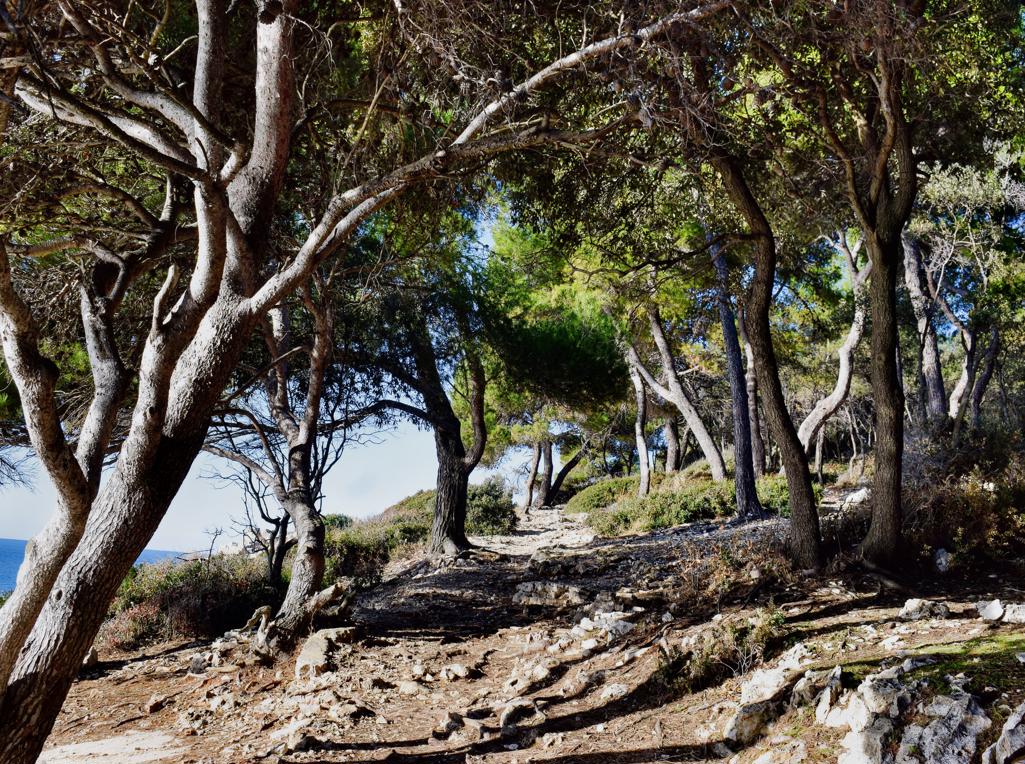
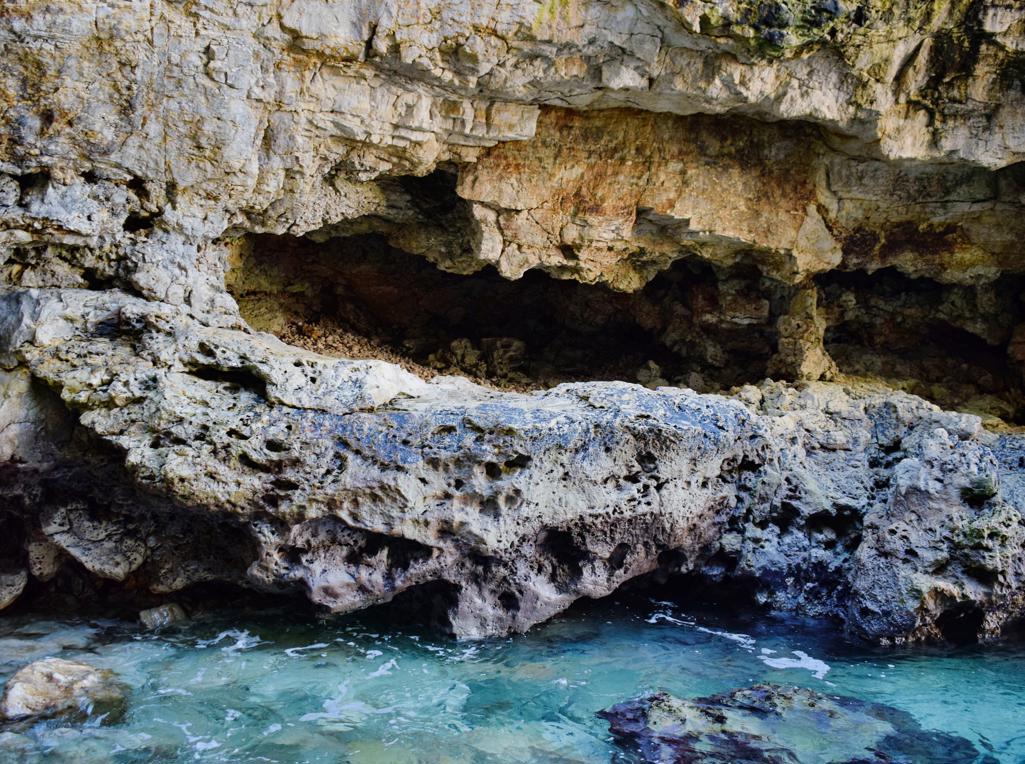
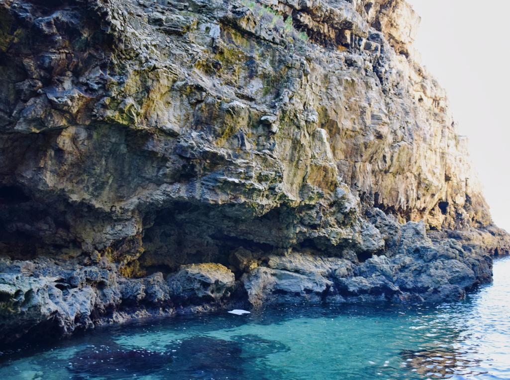
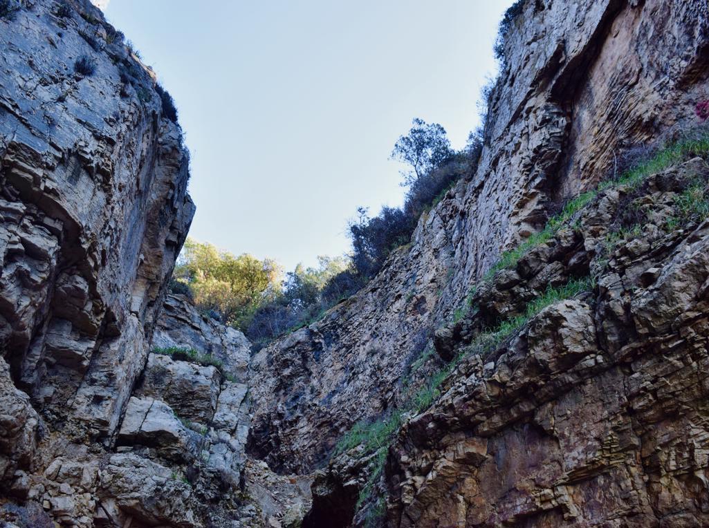
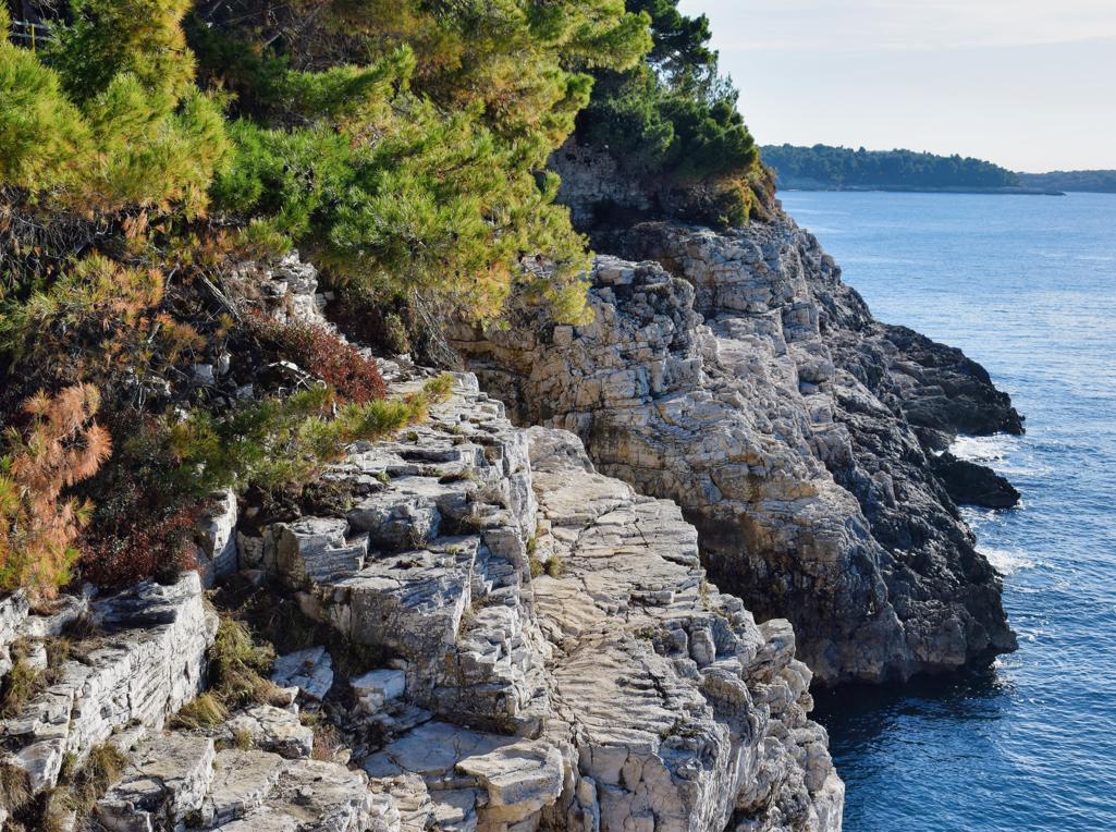
Name: Trail along the coast from the Canyon Verudela to the Fort Bourguignon.
Place: Verudela – Pula.
Coordinates: 44.83599 N – 13.82865, 44.84863 N – 13.83258 E.
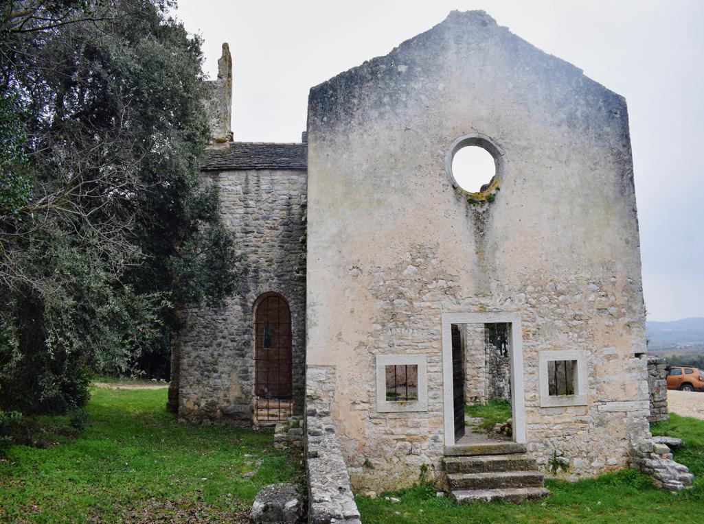
Church St.Peter built in the 14th century, renovated in 1904, 2019 and 2023. (more…)

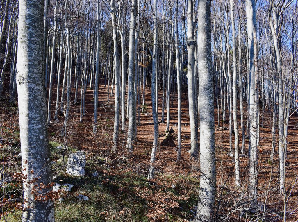
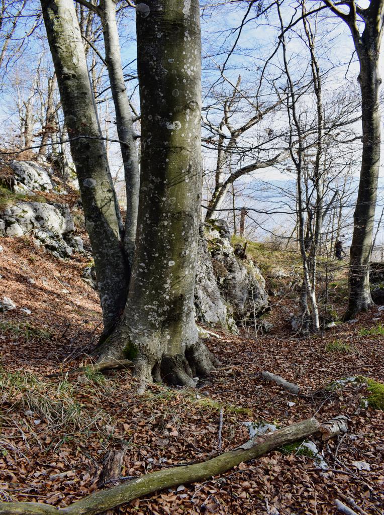
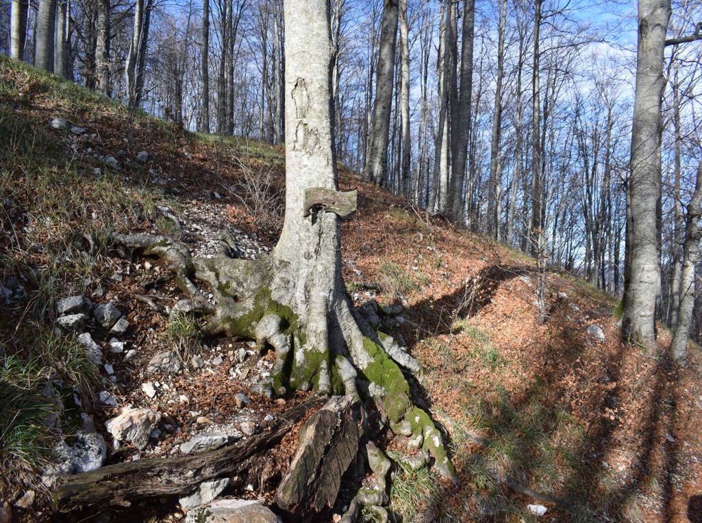
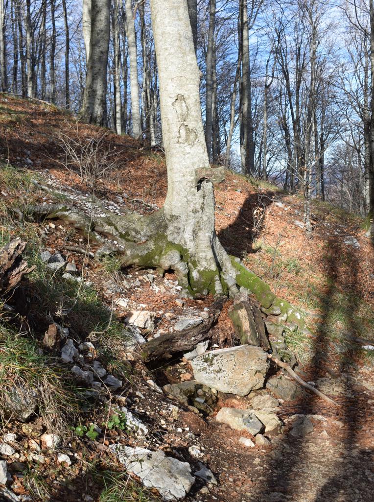
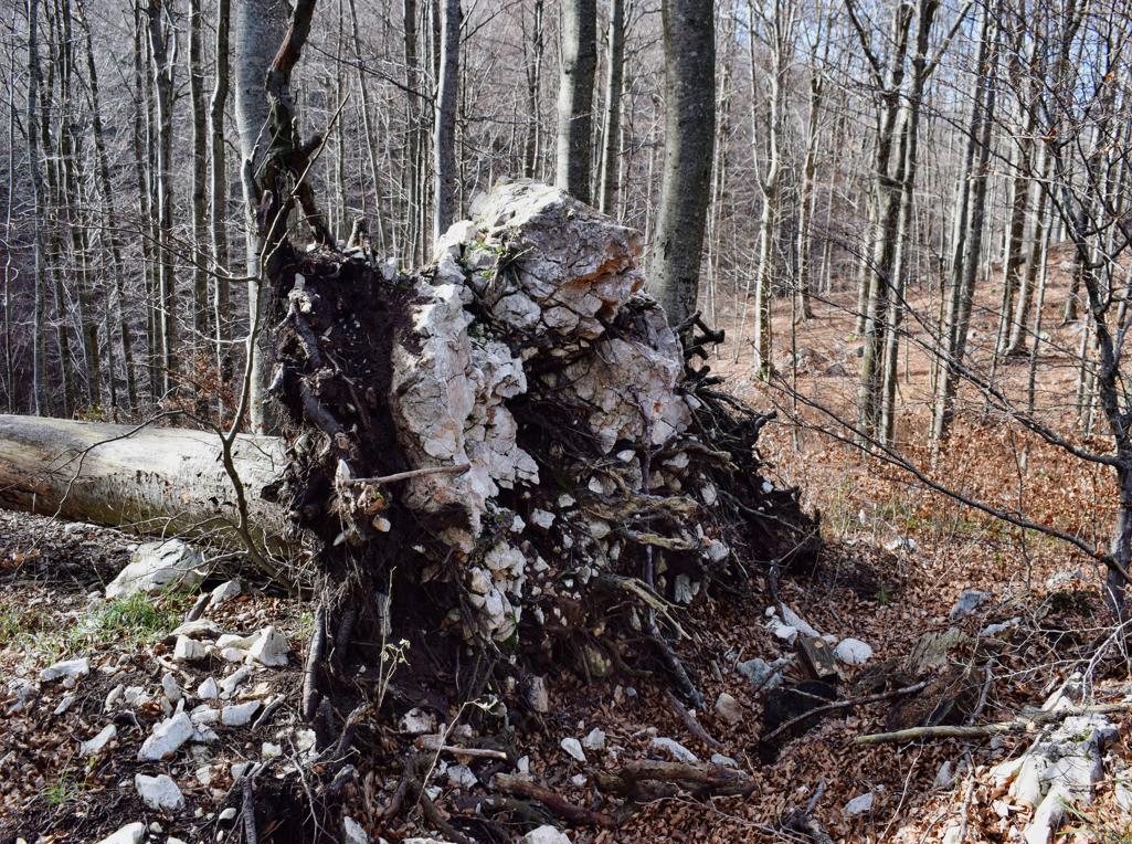
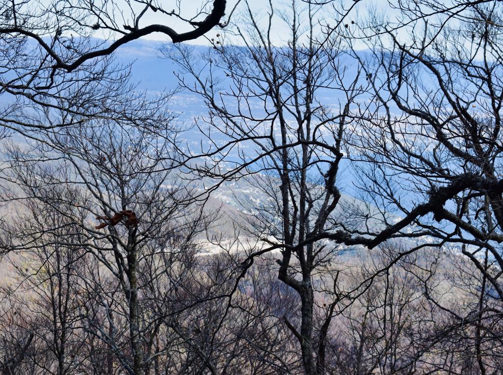
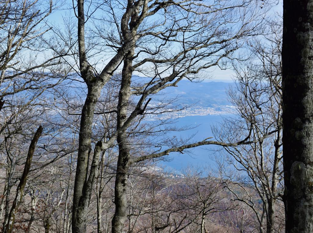
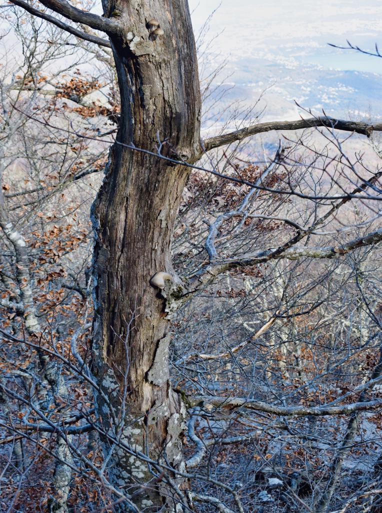
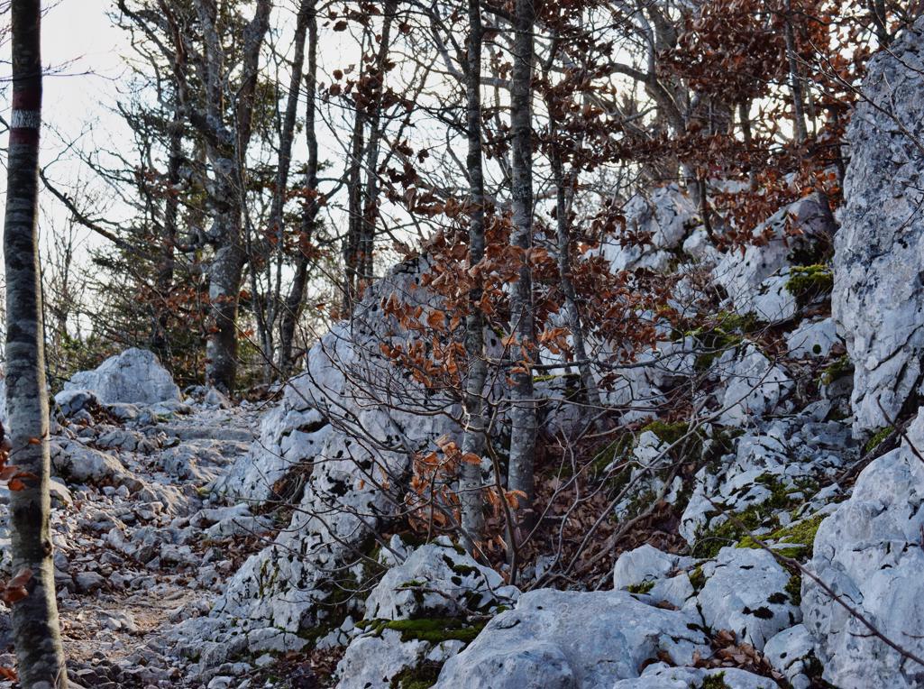
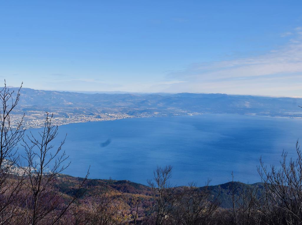
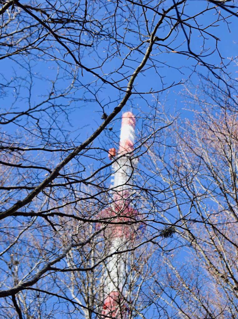
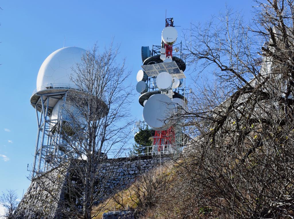
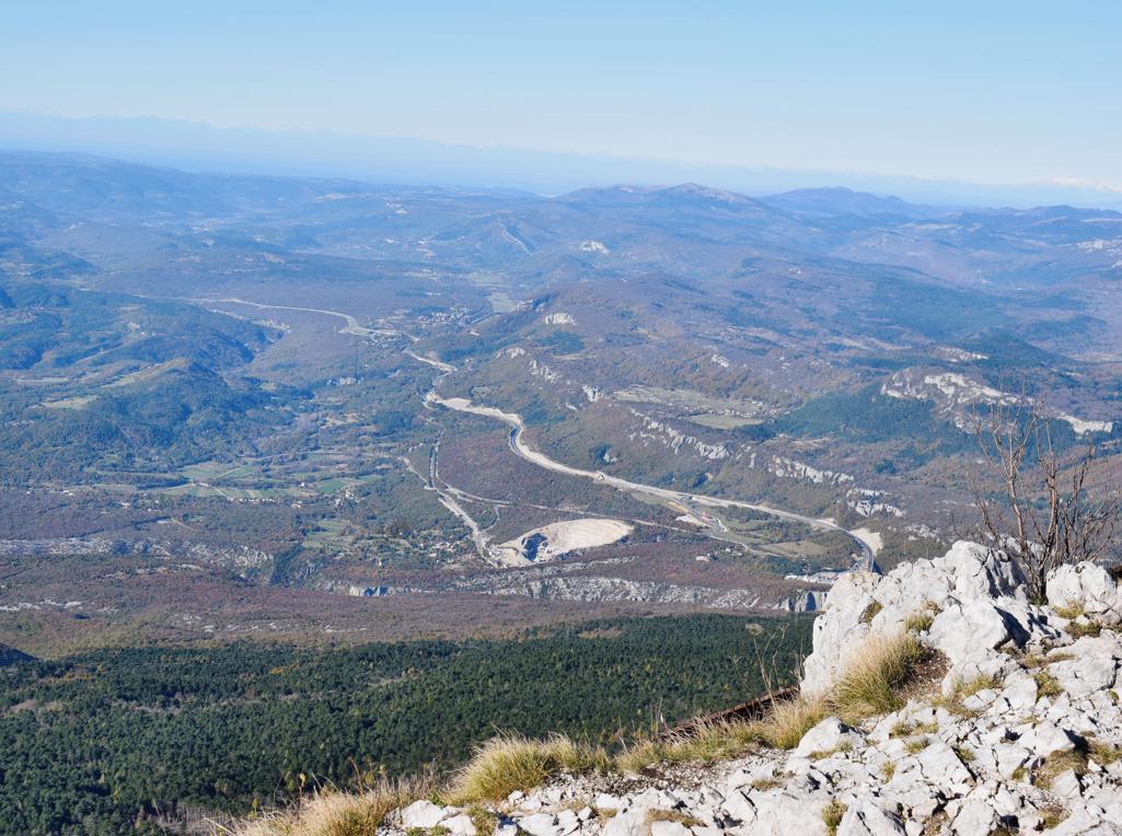
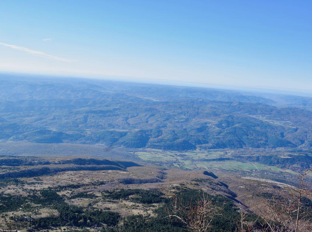
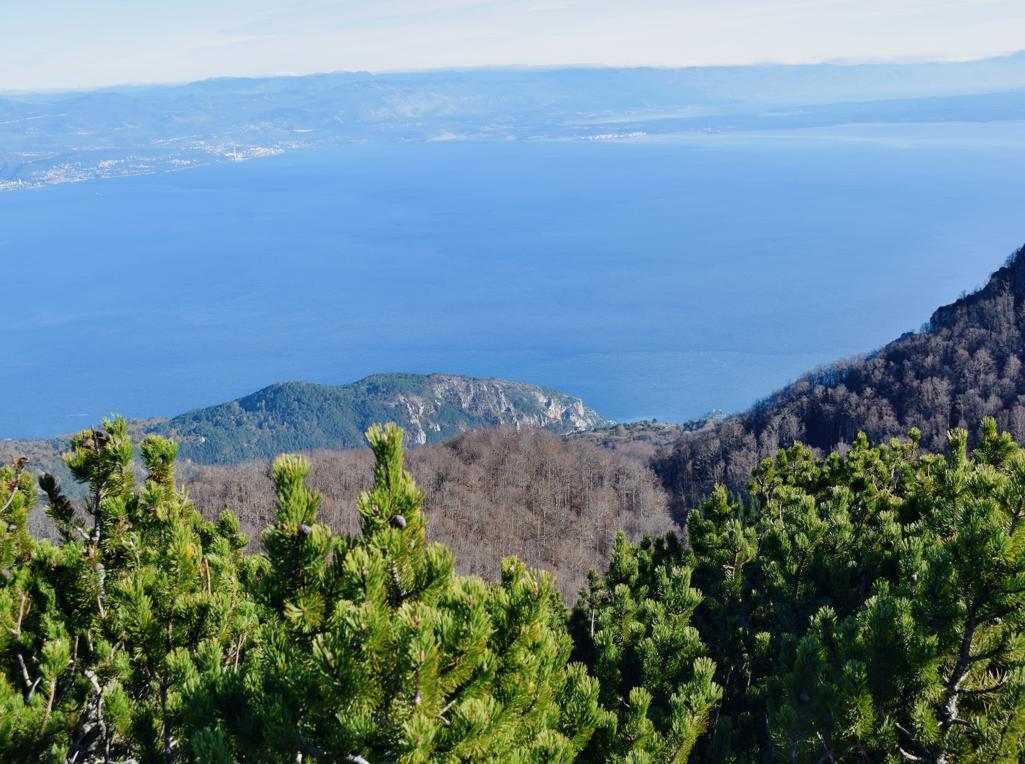
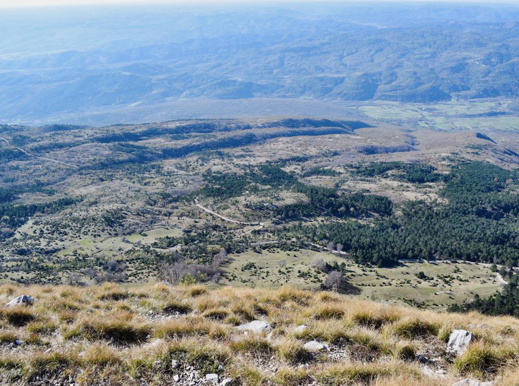
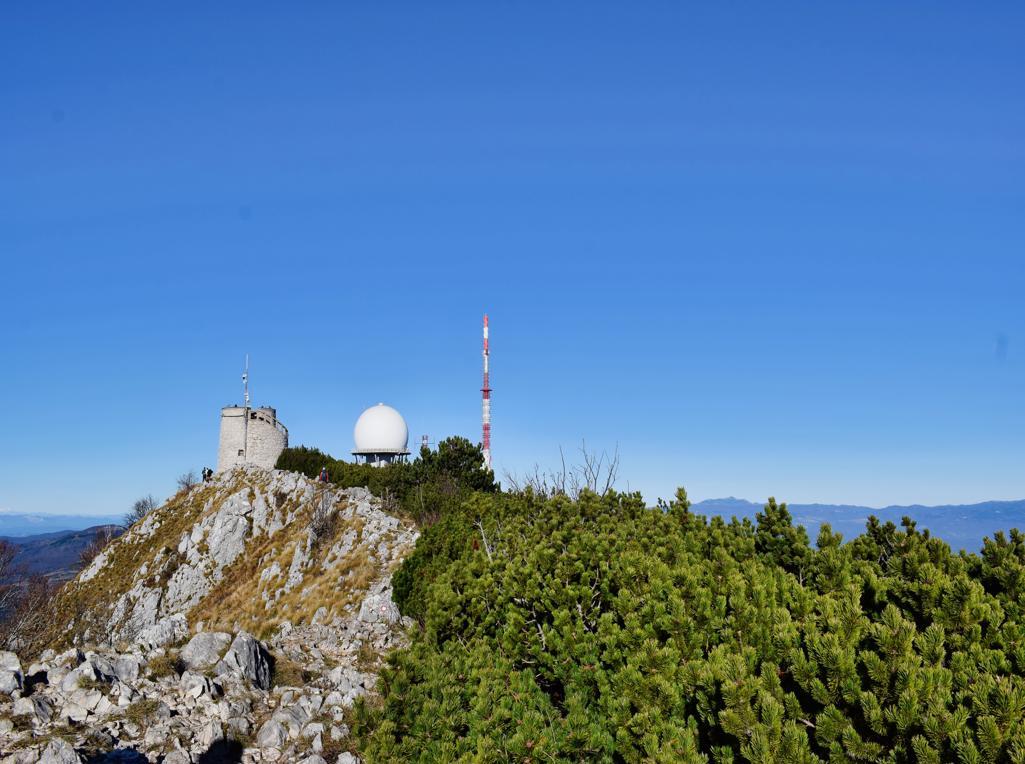
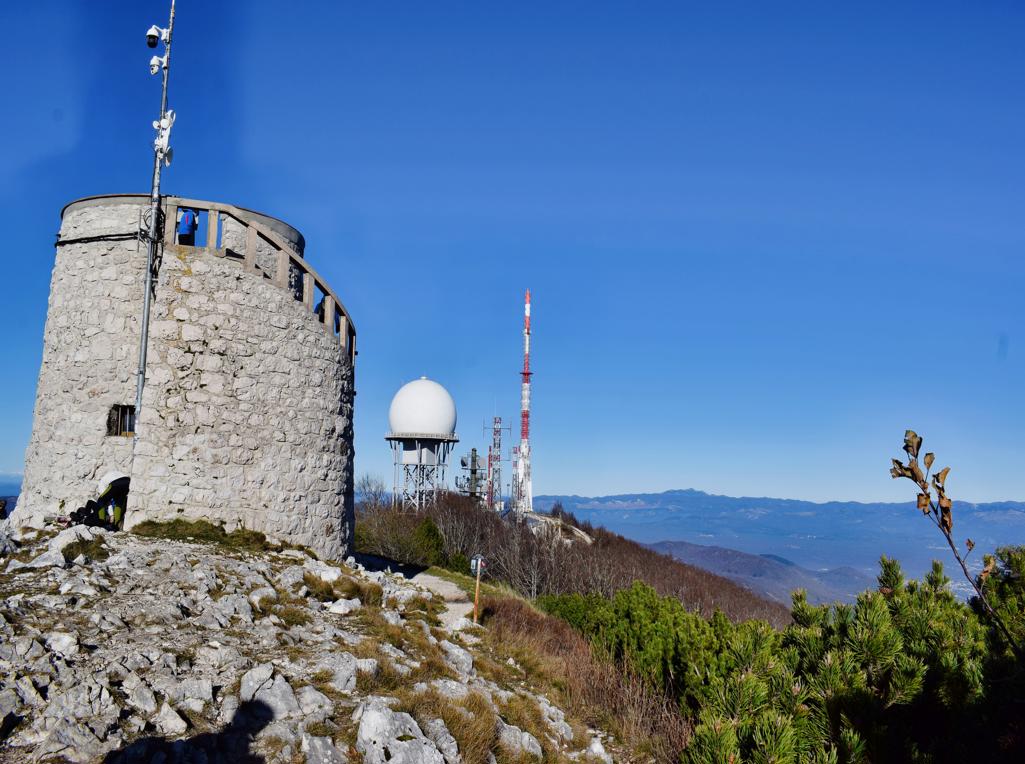
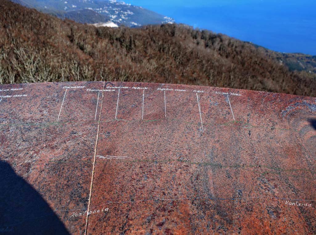
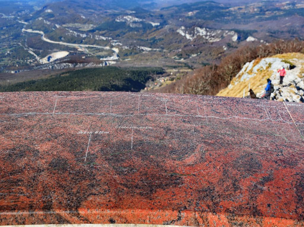
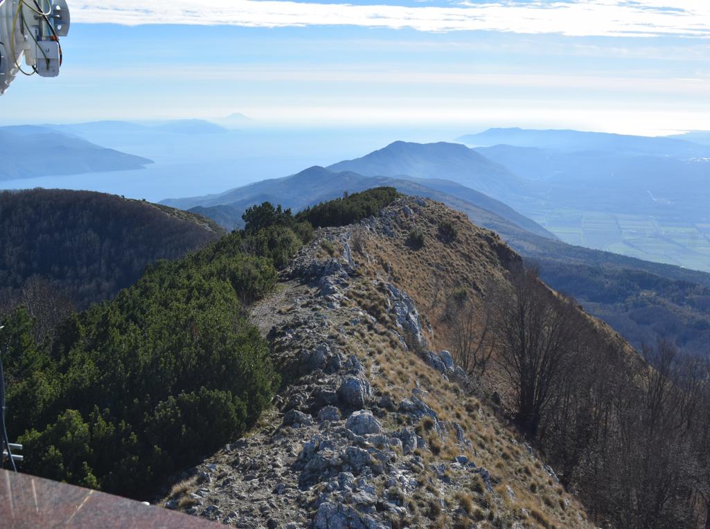
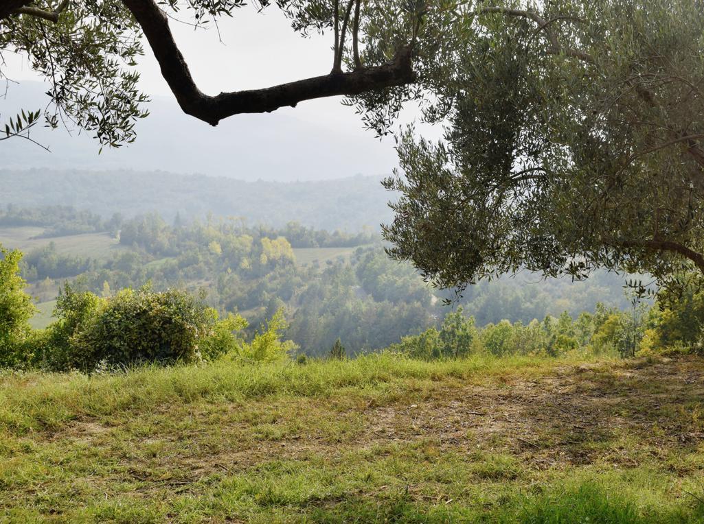
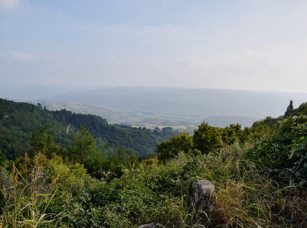
Name: Hiking trail from Poklon at an altitude of 925 meters to Vojak at an altitude of 1400 meters asl.
Place: Učka.
Coordinates:
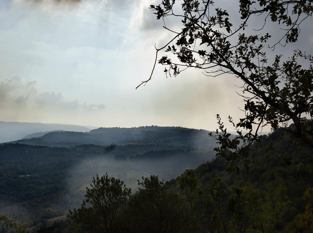
Name: Hiking trail 242 Grožnjan – Regancini – Pertici.
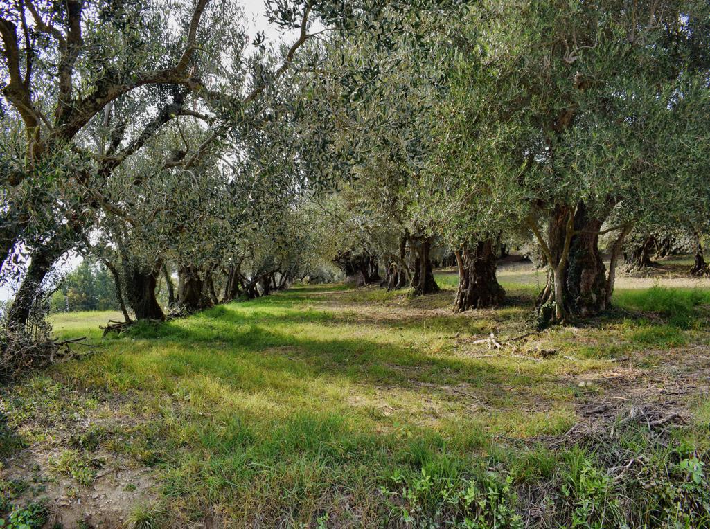
Place: Grožnjan.
Coordinates: Grožnjan 45. 37941 N – 13.72332 E, Regancini 45.37118 N – 13.72323 E, Pertici 45.38149 N – 13.73039 E.