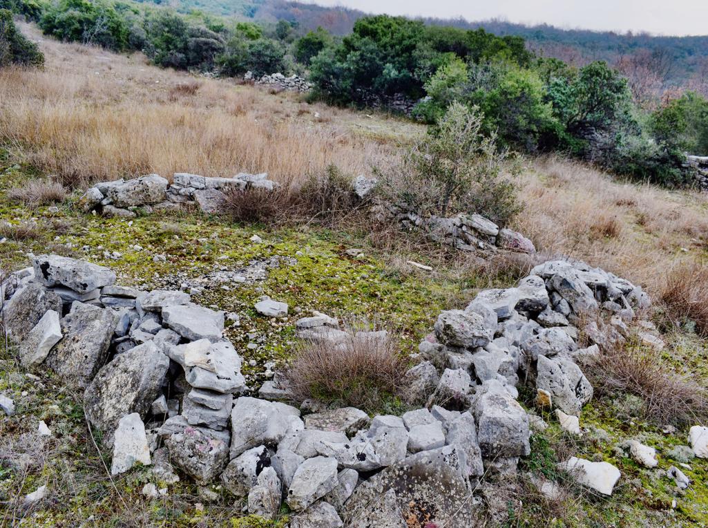
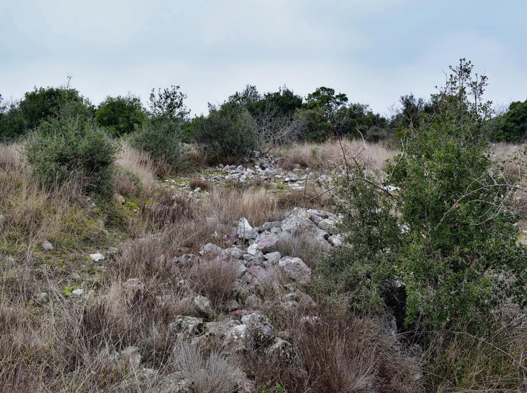
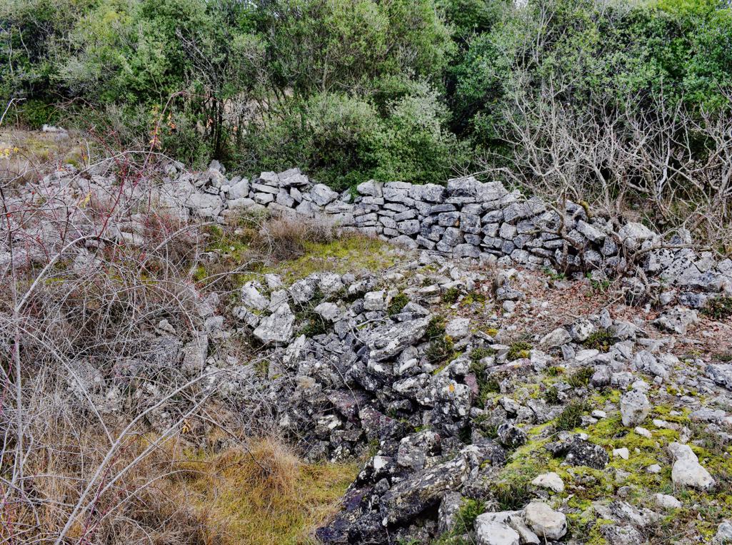
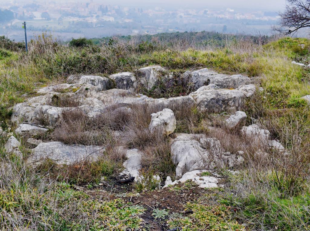
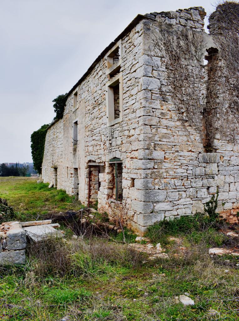
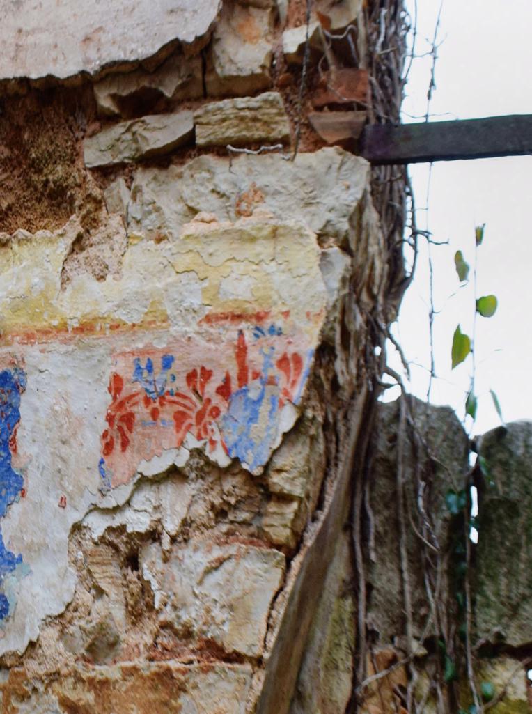
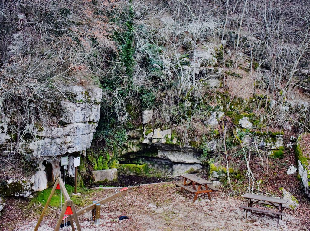
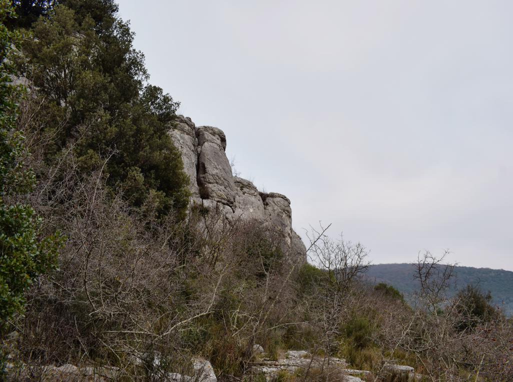
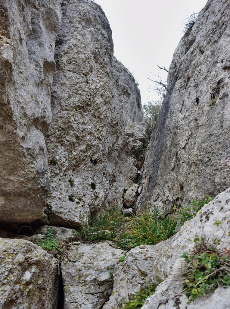
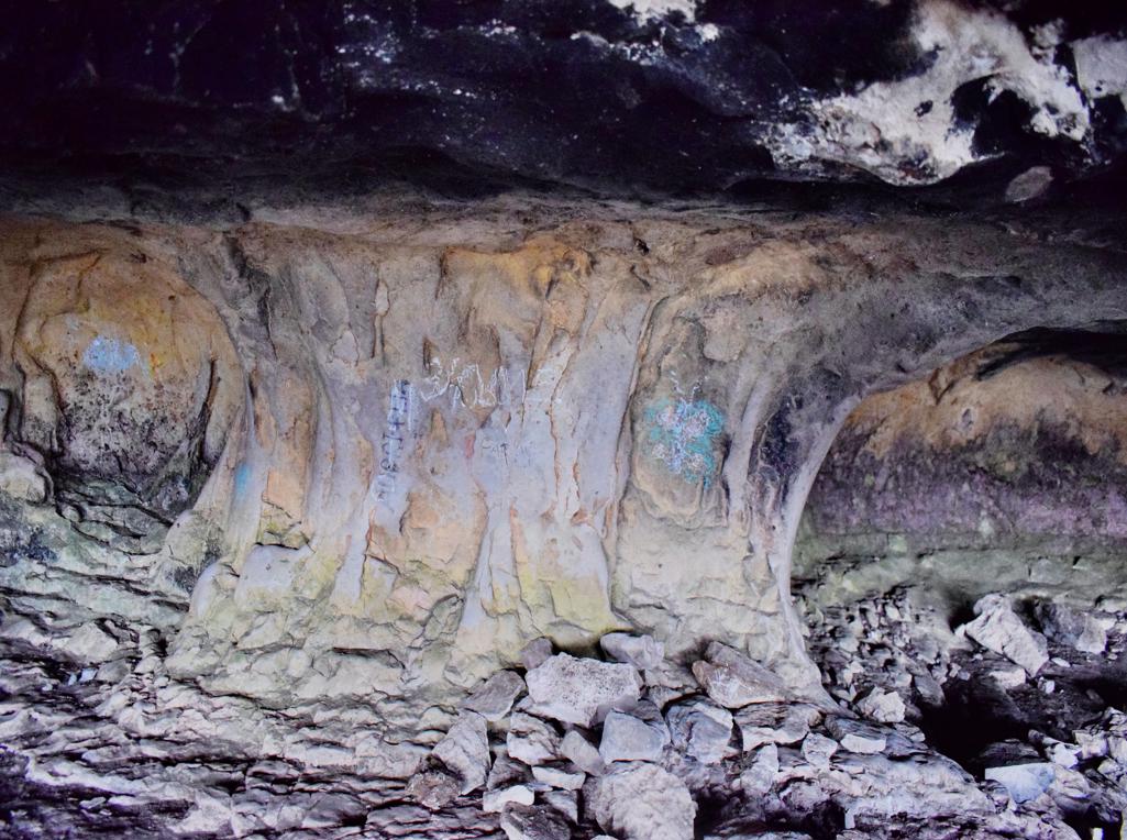
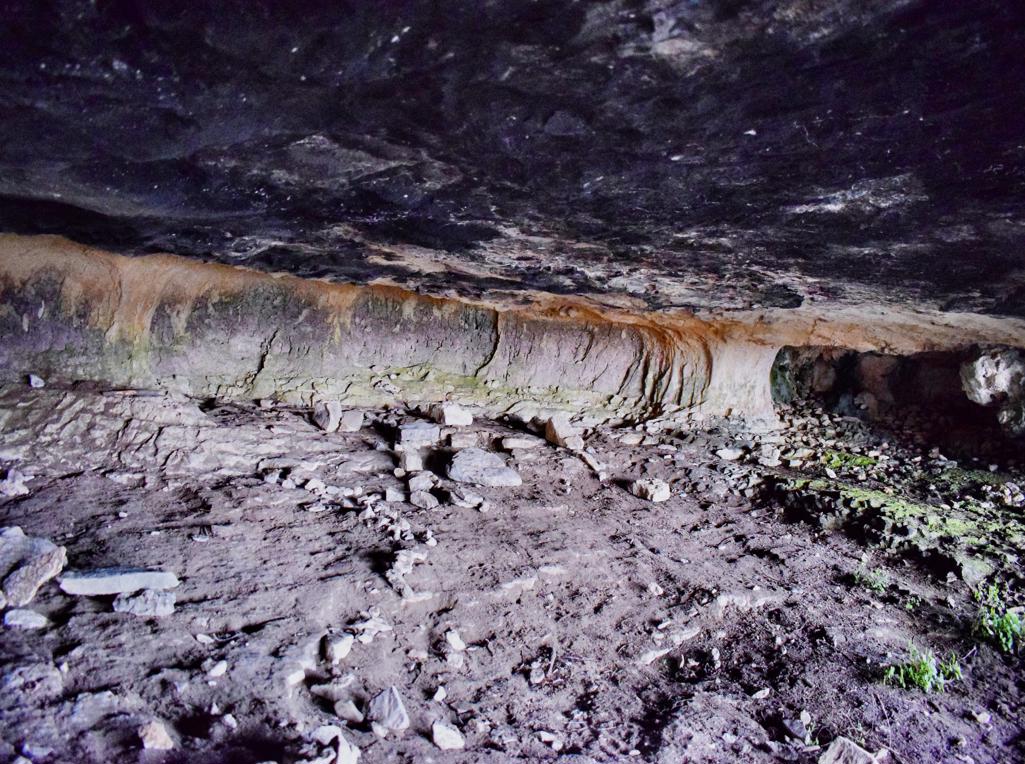
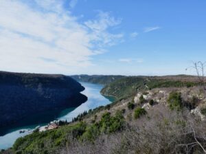
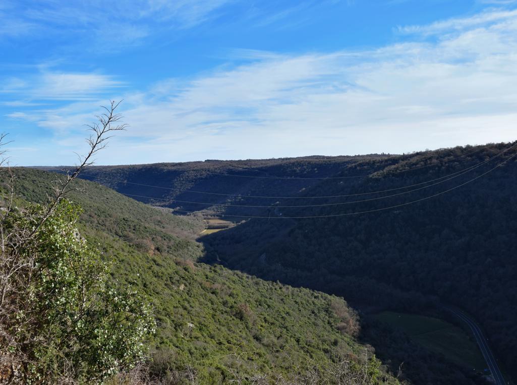
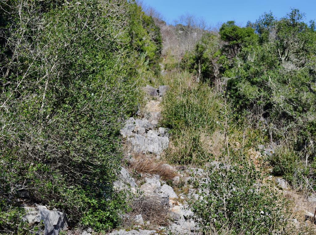
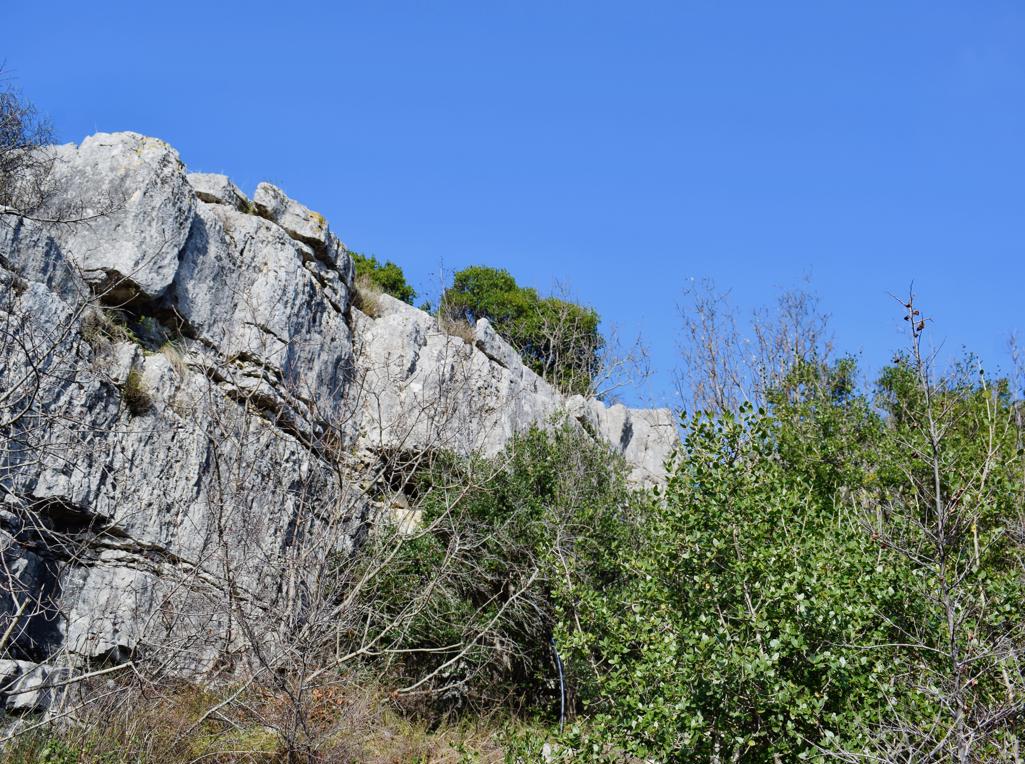
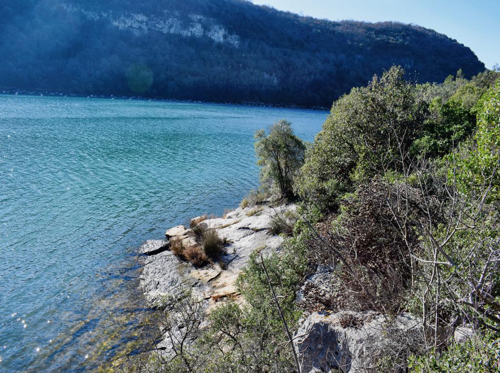
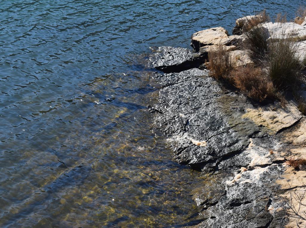
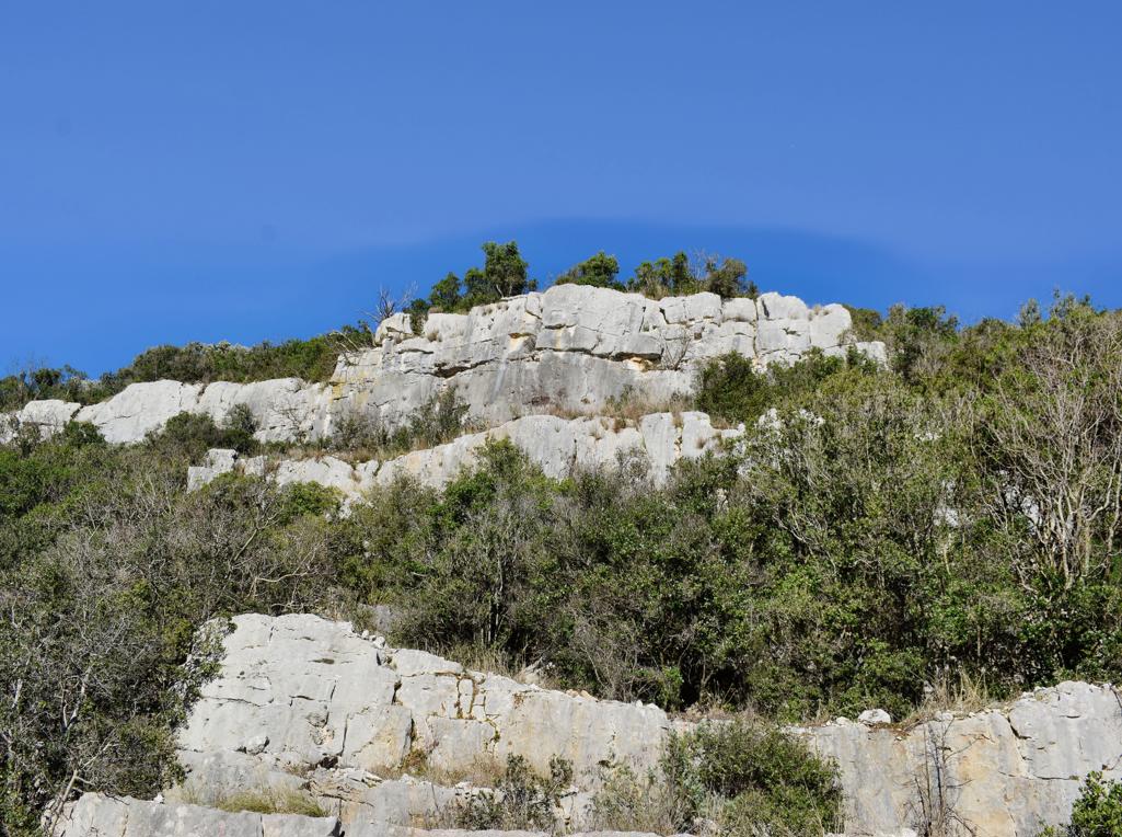
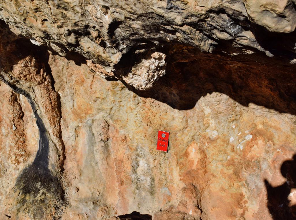
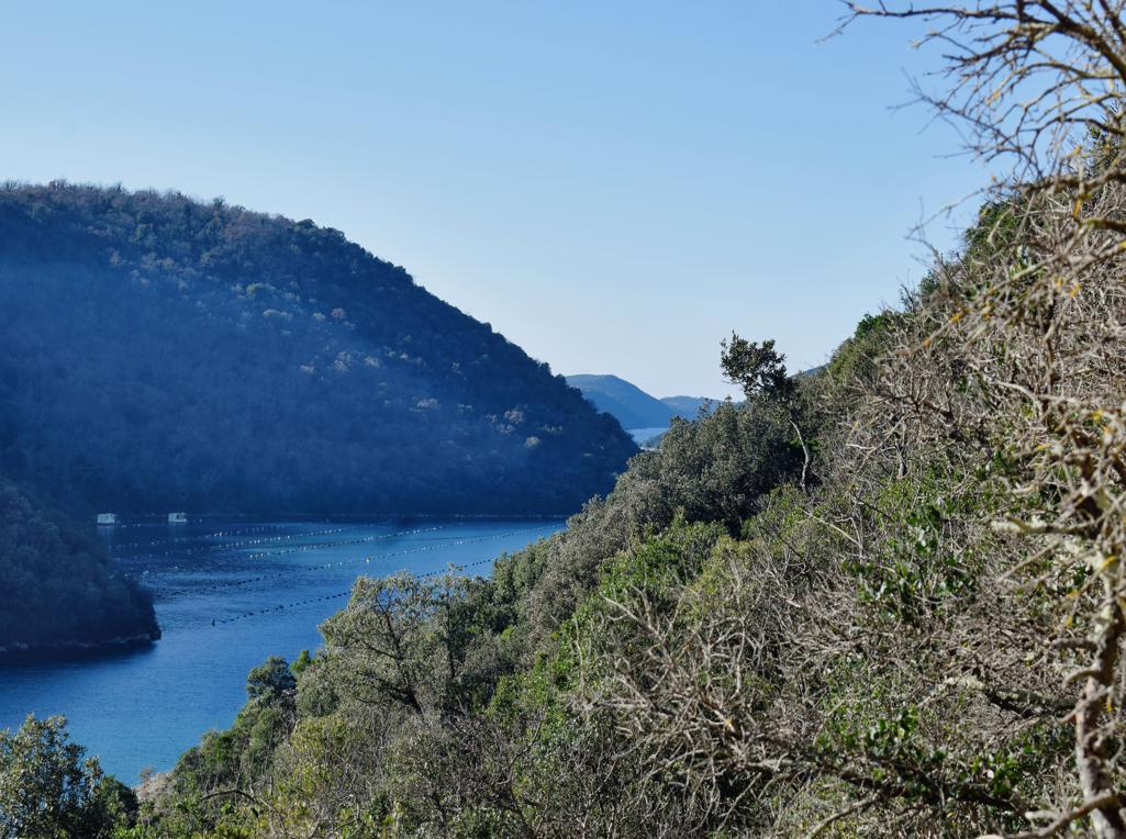
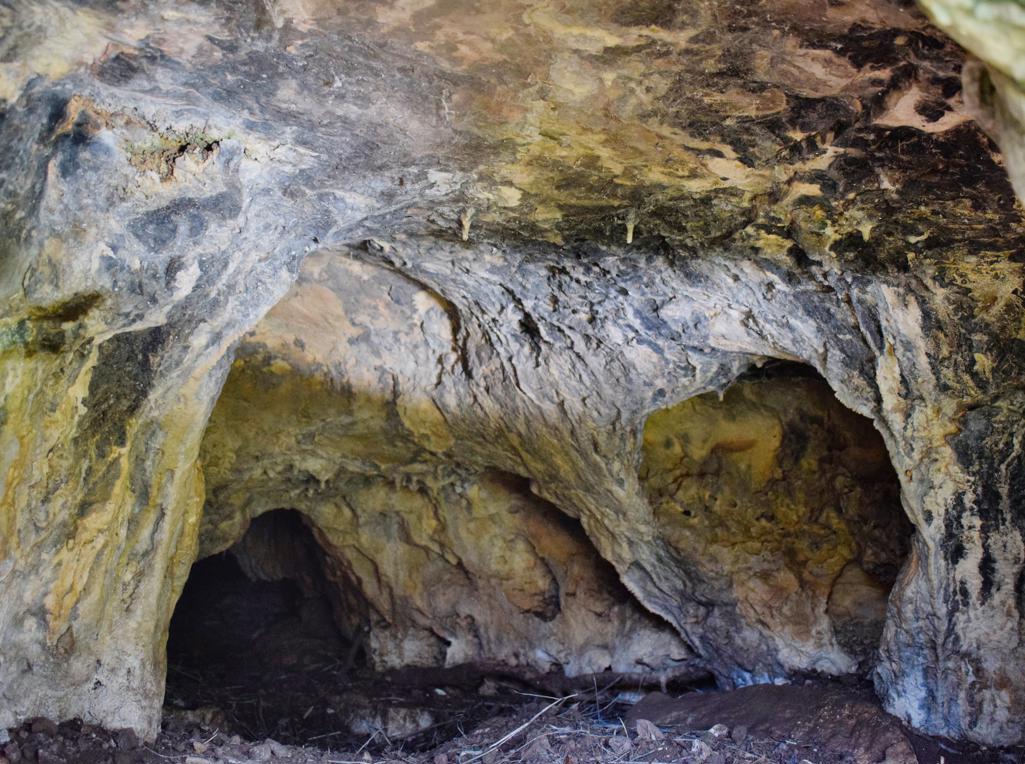
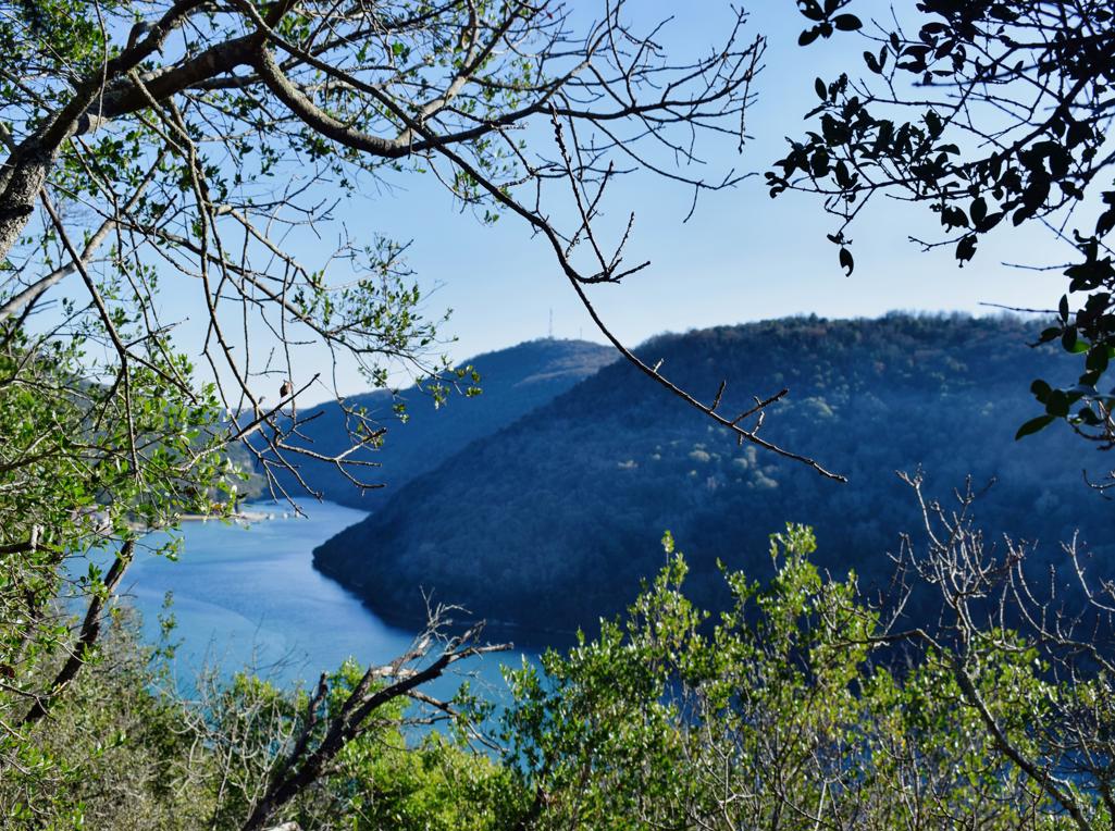
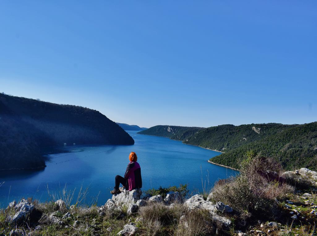
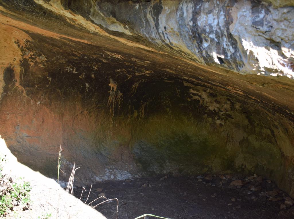
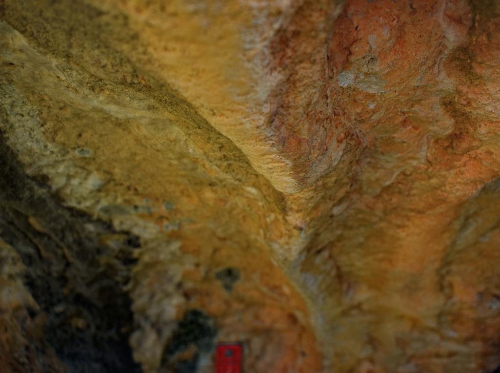
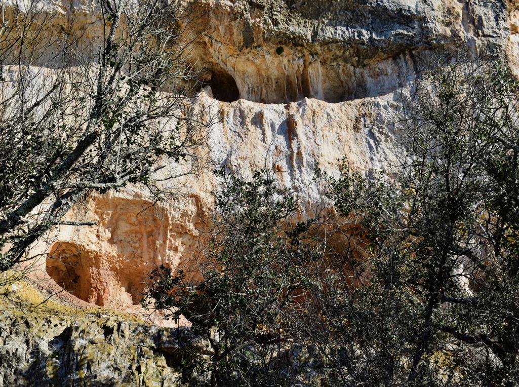
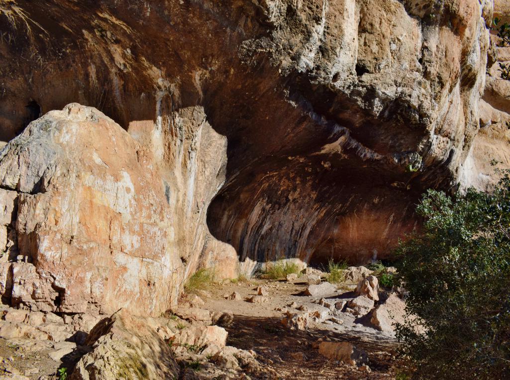
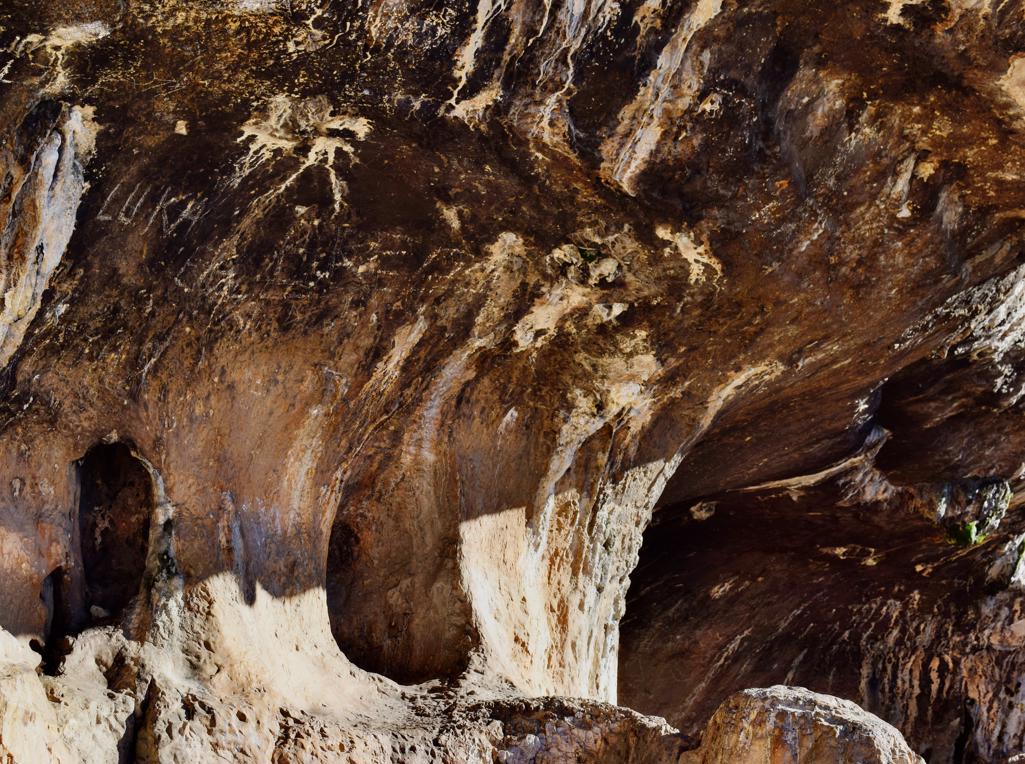
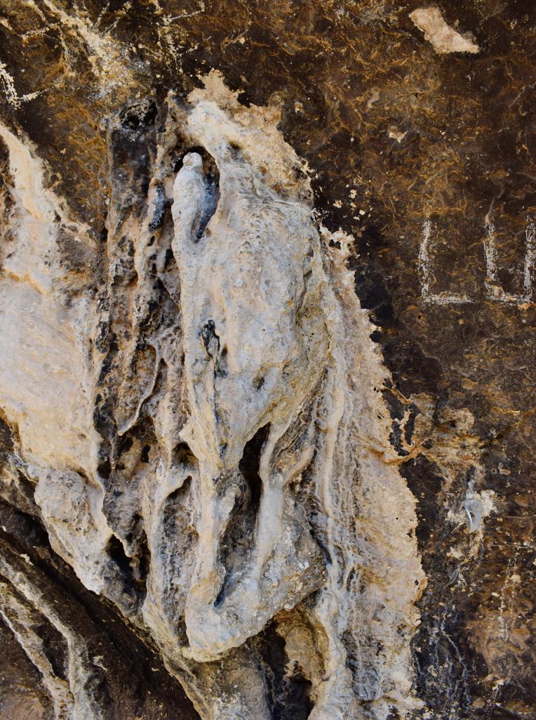
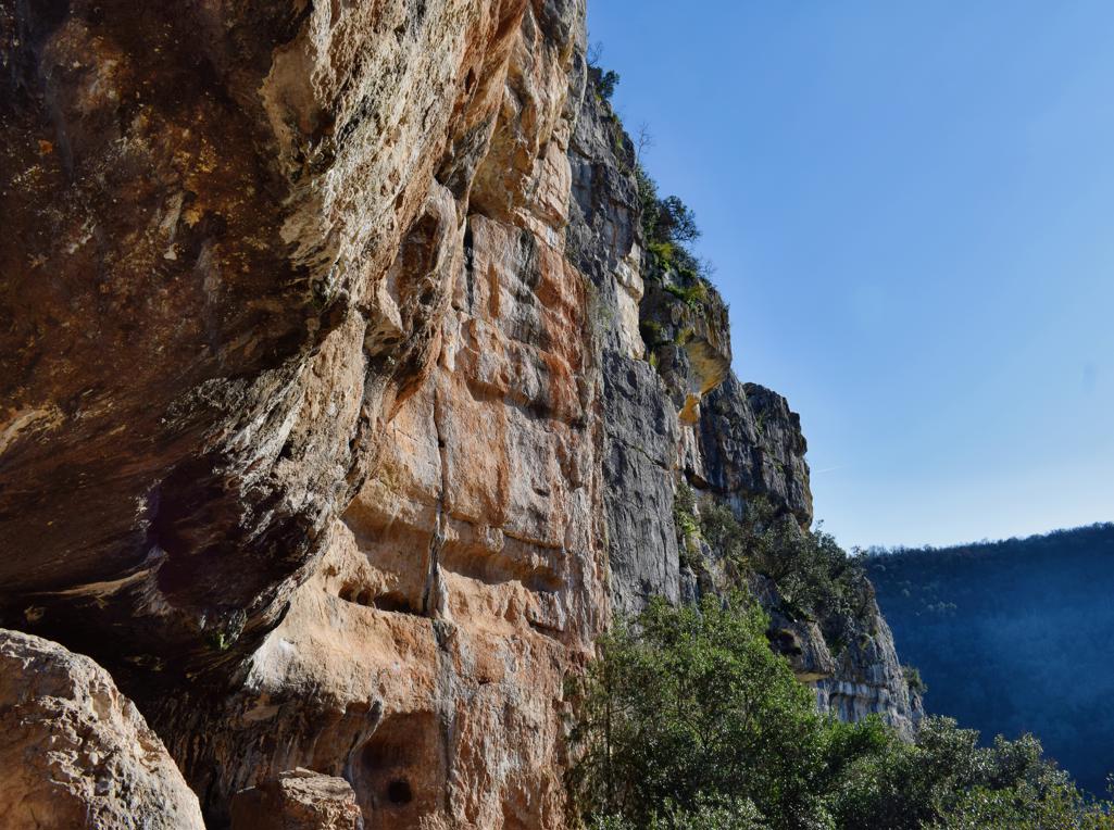
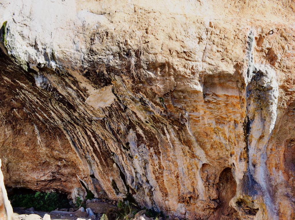
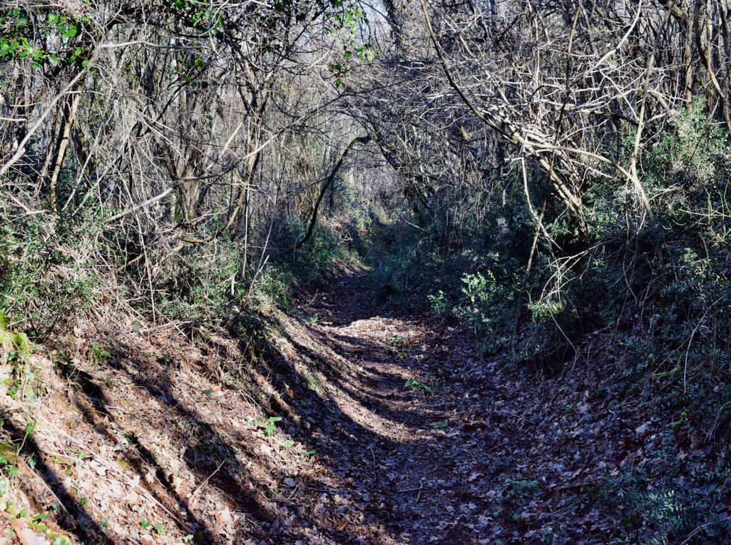
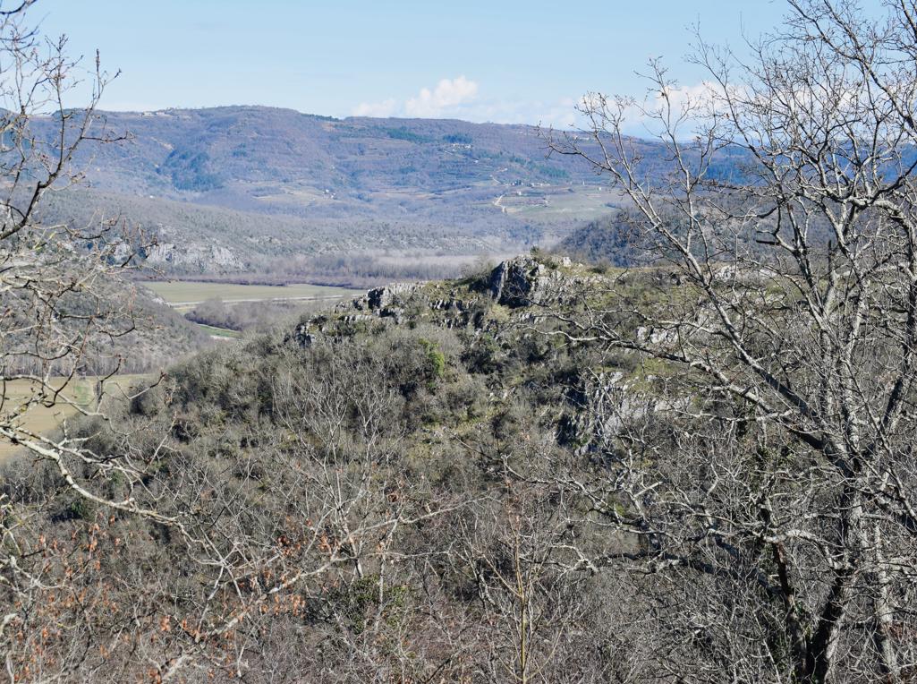
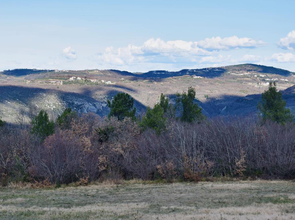
The height of the waterfall is 20 meters.
Name: Waterfall Stranice.
Place: Near Trebeče – (Koper),
Coordinates: 45.46974 N -13.86091 E.
The height of the waterfall is 20 meters.
Name: Waterfall Stranice.
Place: Near Trebeče – (Koper),
Coordinates: 45.46974 N -13.86091 E.
Name: Puddle Trebeče.
Place: Trebeče – Koper.
Coordinates: 45.47135 N – 13.85933 E, 346 meters.
Name:Istrian Pramenka sheeps.
Place: Guran (Vodnjan).
Coordinates: 44.961 N -13.900 E
Archaeological research 2014,2015 and 2017
Name: Stari Guran medieval settlement.
Place: Guran – (Vodnjan).
Coordinates: 44.96916 N – 13.89333 E.
Name: Turtles Rock.
Place: Sočerga – (Koper),
Coordinates: 45.46116 N – 13.91133 E, 378 meters.
ers.
Name: Hiking trail to the waterfall Veli Vir.
Place: Olika – (Koper).
Coordinates: Start Olika 45.45866 N – 13.89219 E, split 45.45815 N – 13.88474 E, waterfall 45.45494 N – 13.87892 E. End 45. 45971 N – 13.87692 E
Hiking trail from border Croatia (Maršići) to the Chuch Kvirika (Sočerga) on the Veli Badin.
Name: Nature park with stone bridge / cliffs Veli Badin (called “The ears of Istria”).
Place: Maršiće – Sočerge – (Koper).
Coordinates: Start 45.45294 N – 13.92624 E, split Path to stone bridge/cliffs 45.45488 N – 13.92699 E, natural stone bridge 45.45407 N – 13.92409 E, Church 45.46360 N – 13.90442 E.
Name: Roman oil mill near Barbariga.
Place: Barbariga – (V0dnjan).
Coordinates: 44.98901 N – 13.74134 E.
Name: Road from the village Koštabona to Kodarinov Malen near the stream Supot and the river Dragonja.
Place: Koštabona – (Koper).
Coordinates: Start 45.48913 N – 13.73713 E, split 45.47388 N -13.74719 E, Korinov Malen 45.47330 N – 13.74365 E.
St. Agnes, built in the 5th century on the place of a former mausoleum, and those of the monastery and basilica of St Andrew built in the 5th century, rebuilt in the 7th and 9th centuries and abandoned in the 13th century due to a plague epidemic.
Name: Ruins St. Agnes and St. Andrew.
Place: Betiga – (Vodnjan).
Coordinates: 44.99478 N – 13.74971 E and 44.99766 N – 13.75273 E.